
Klauvaneset to Støbotn via Tellevikafjellet (15.11.2025)

Written by hbar (Harald Barsnes)

| Start point | Klauvaneset (34m) |
|---|---|
| Endpoint | Slettestølsvegen (65m) |
| Characteristic | Hillwalk |
| Duration | 2h 32min |
| Distance | 7.1km |
| Vertical meters | 429m |
| GPS |
|
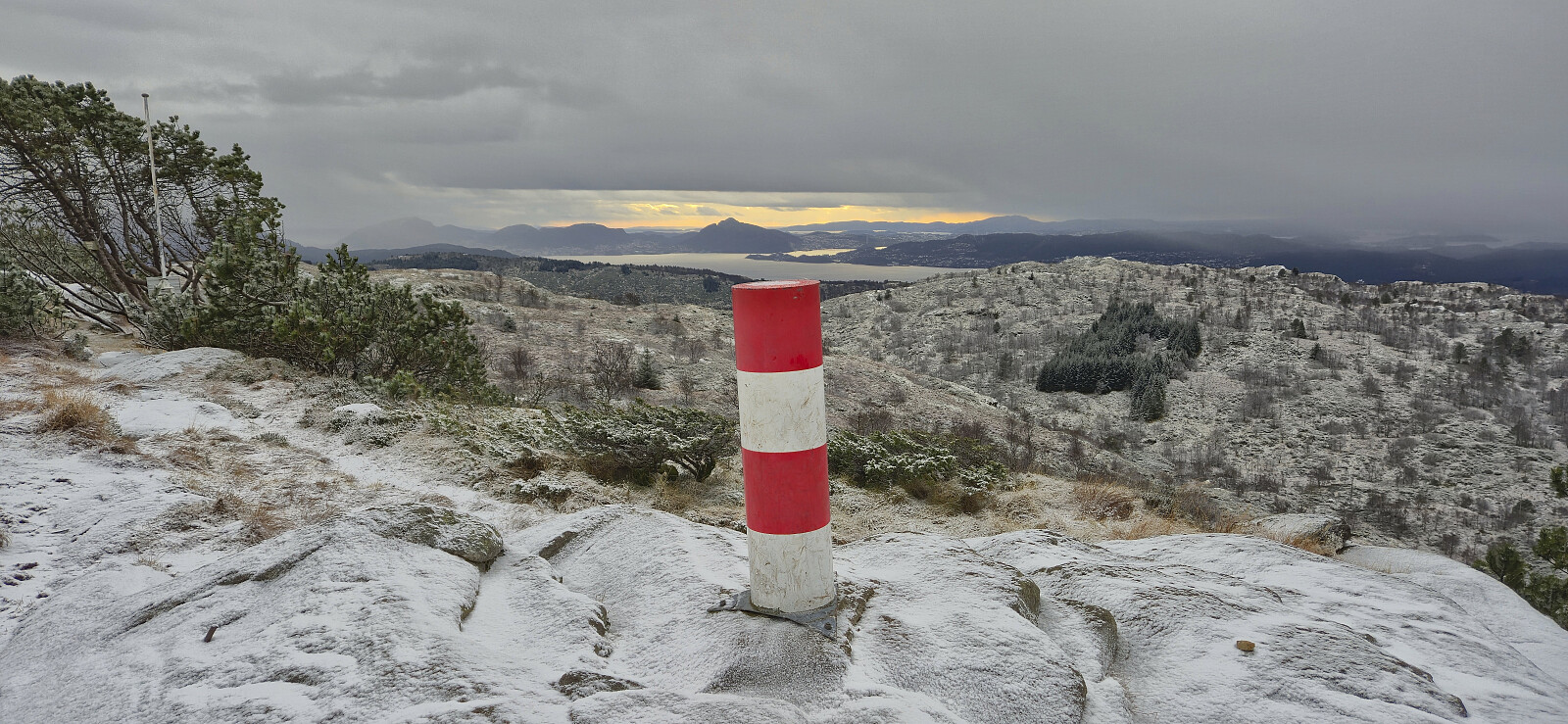
| Ascents | Tellevikafjellet (395m) | 15.11.2025 |
|---|---|---|
| Visits of other PBEs | Tellevikafjellet søyle (390m) | 15.11.2025 |
Klauvaneset to Støbotn via Tellevikafjellet
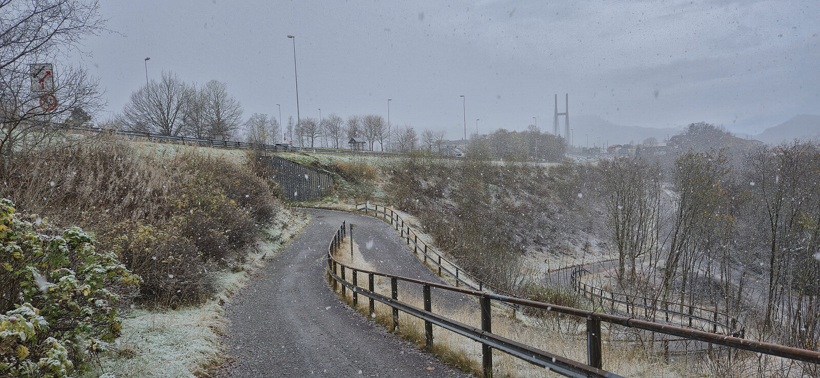
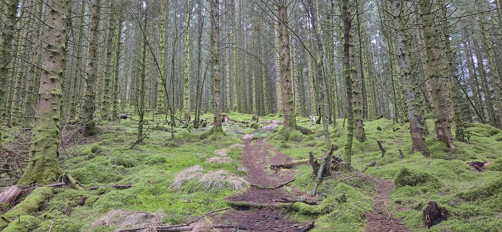
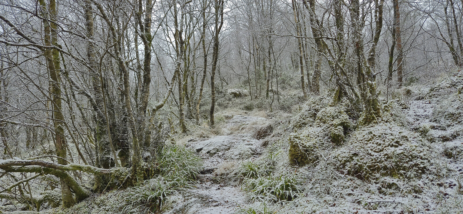
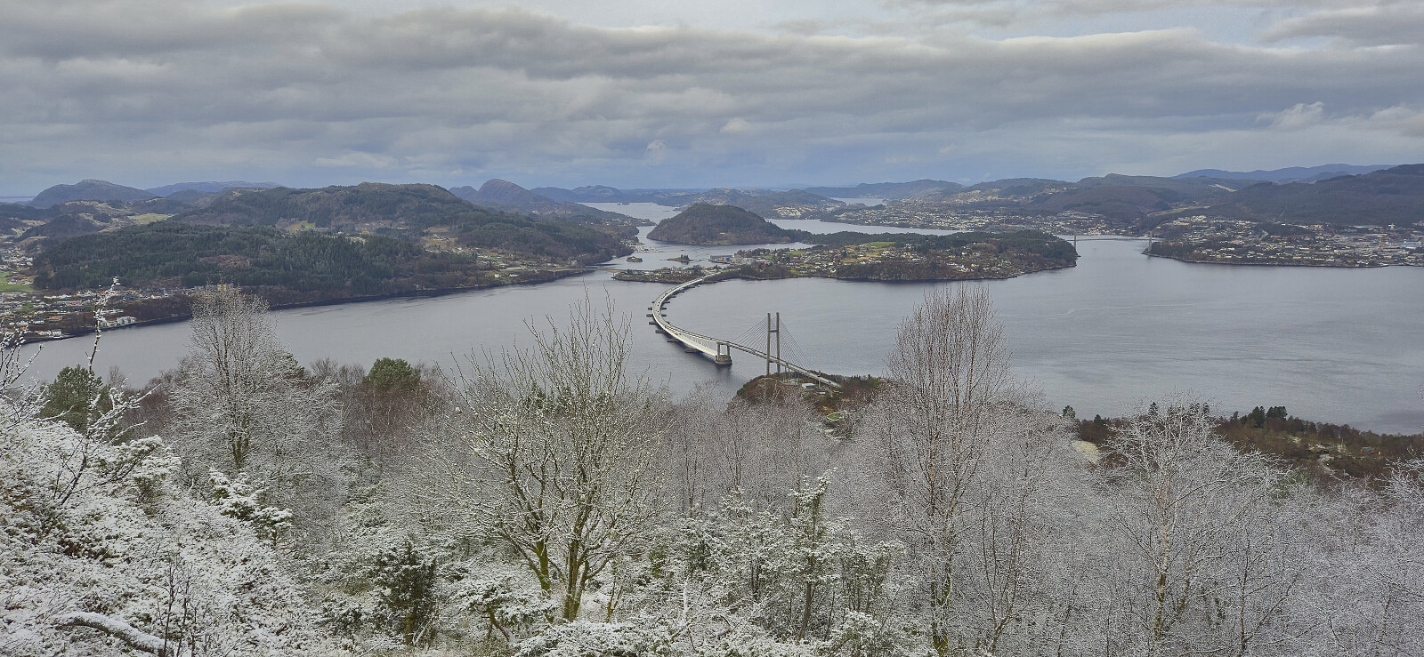
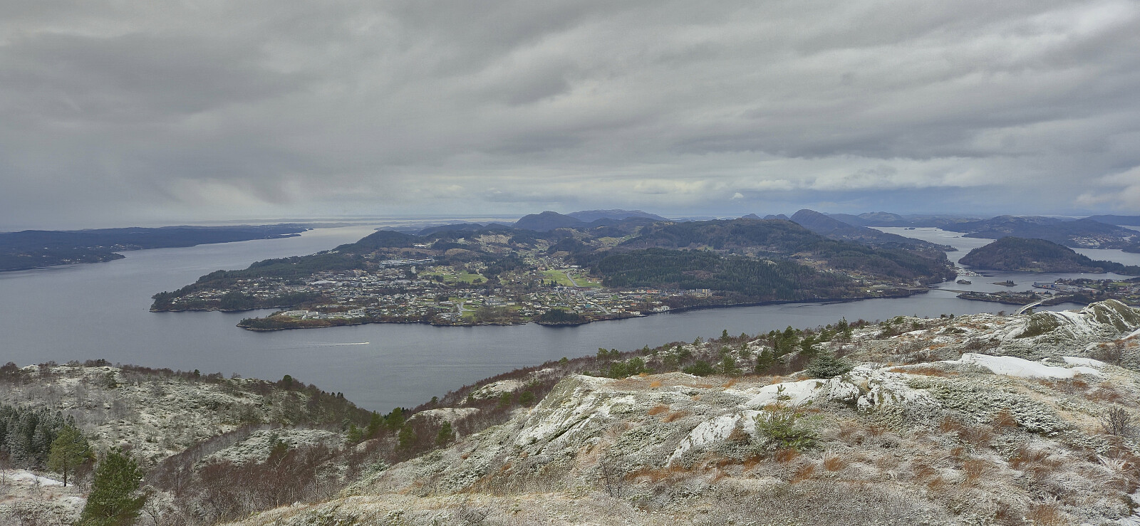
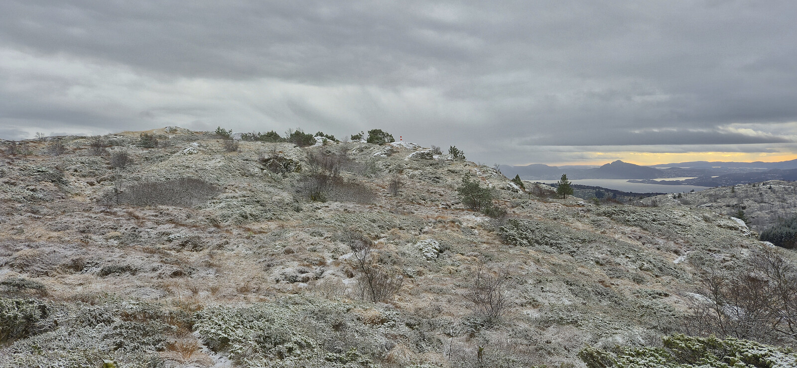
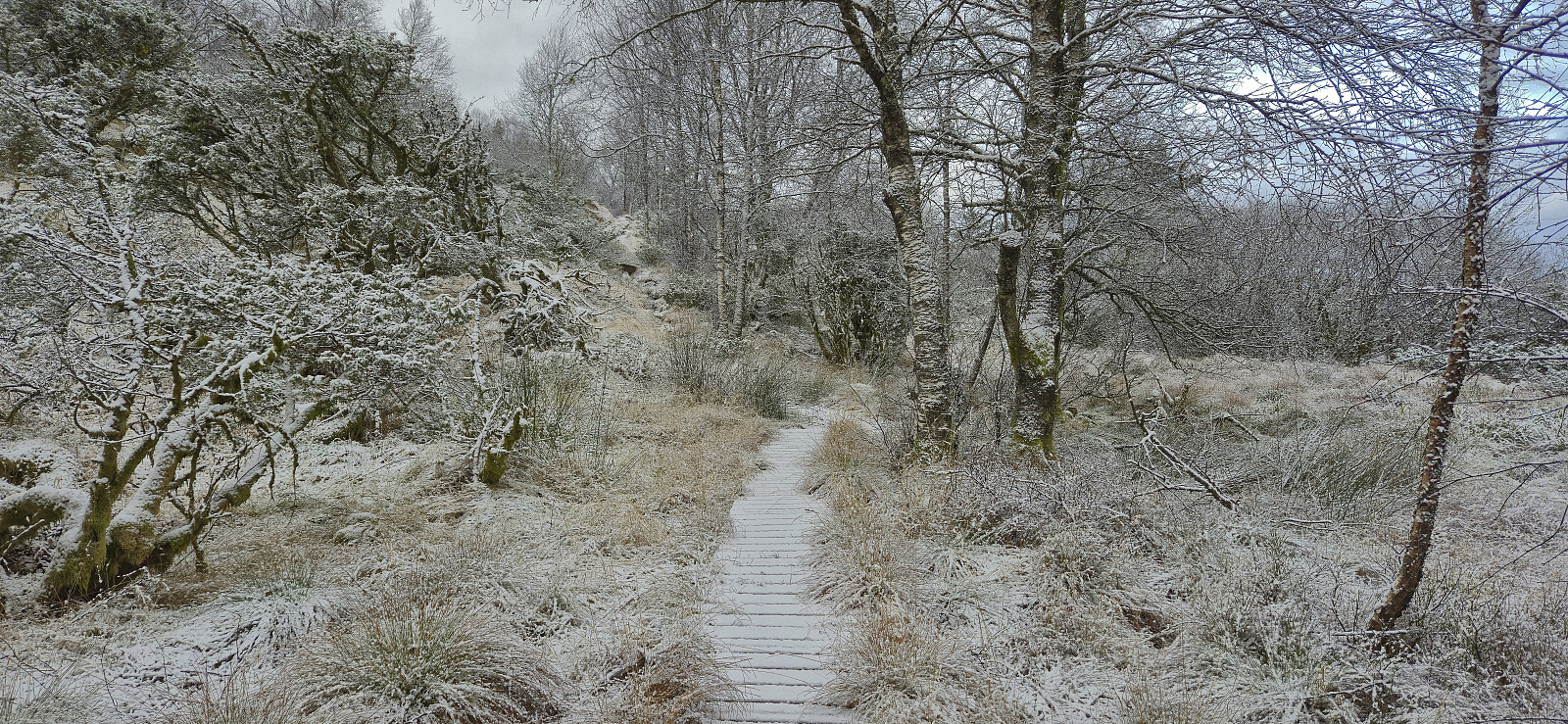
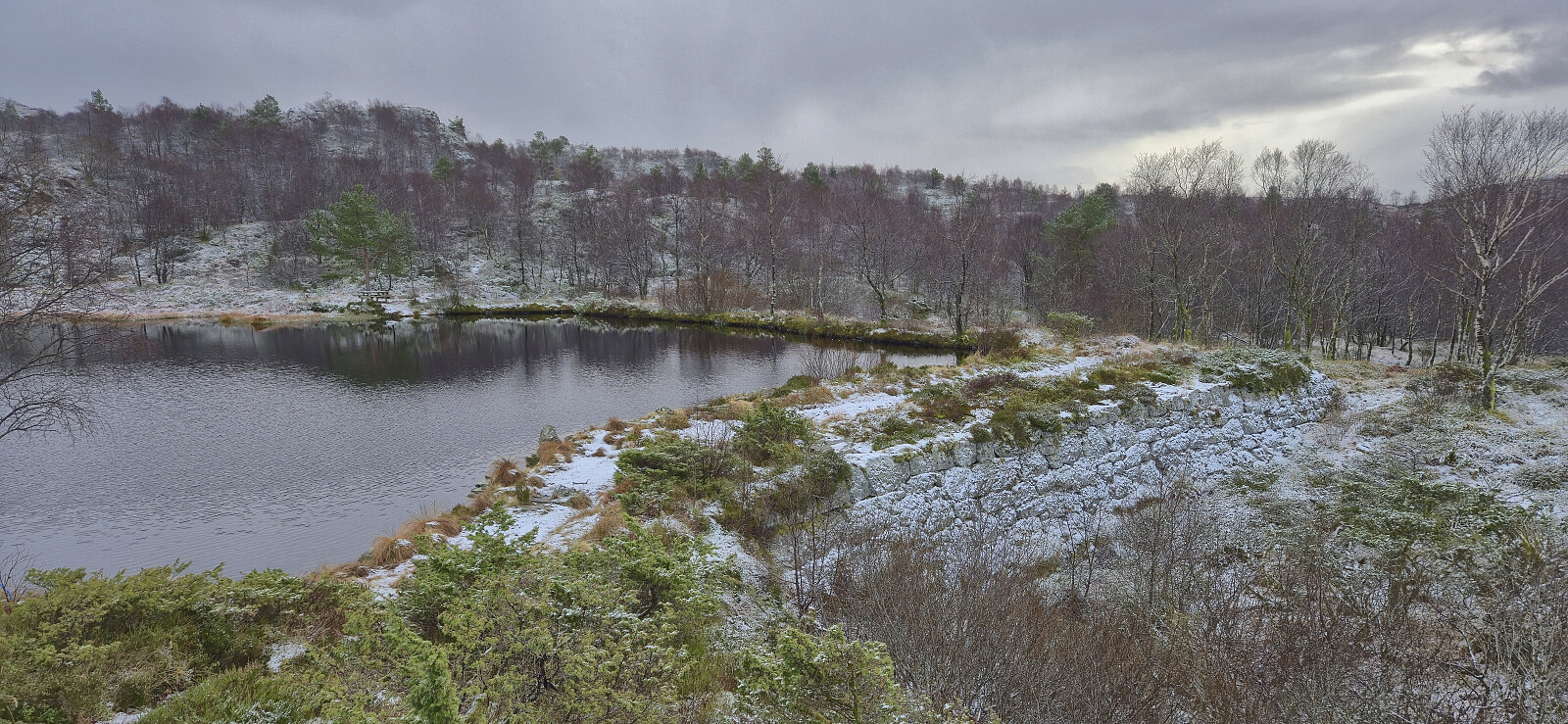
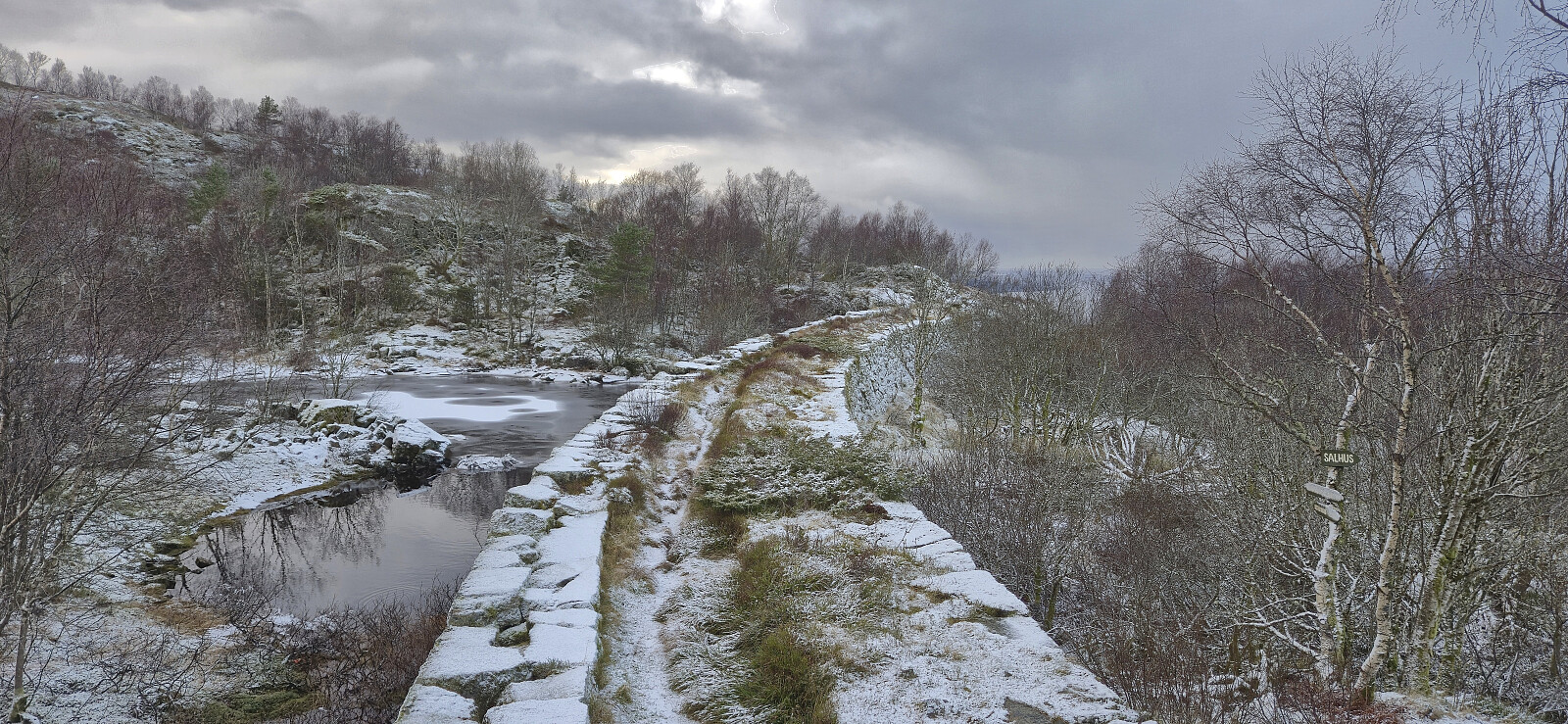
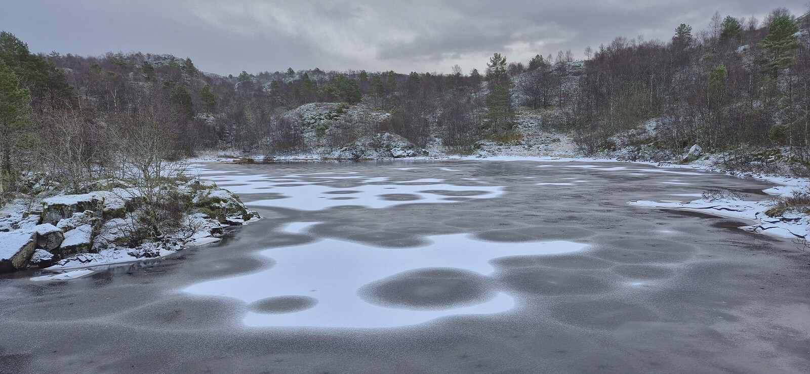
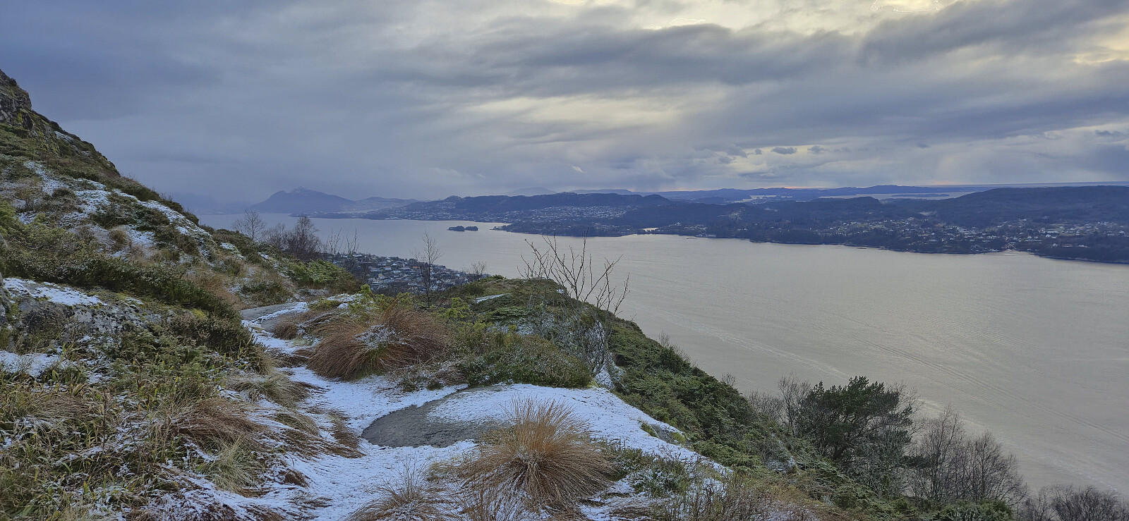
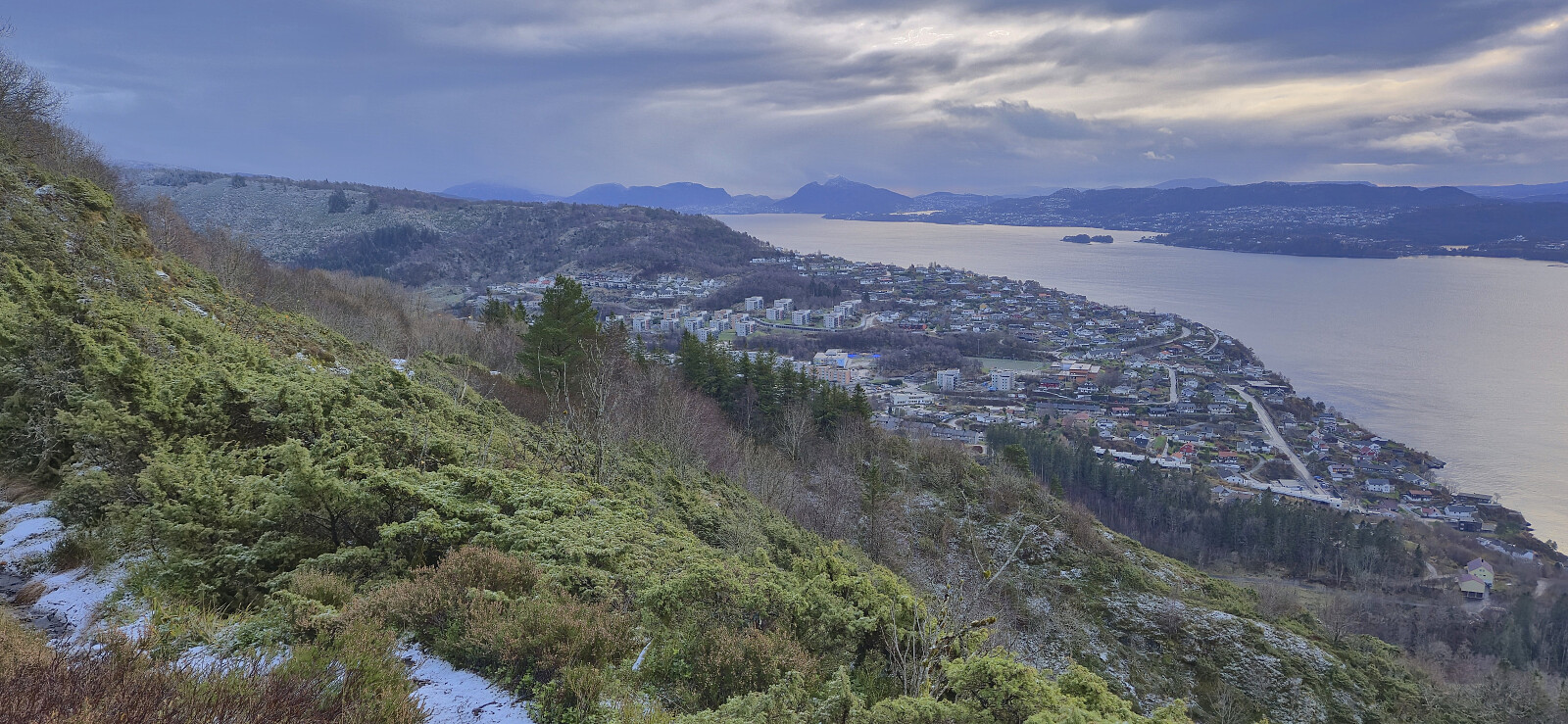
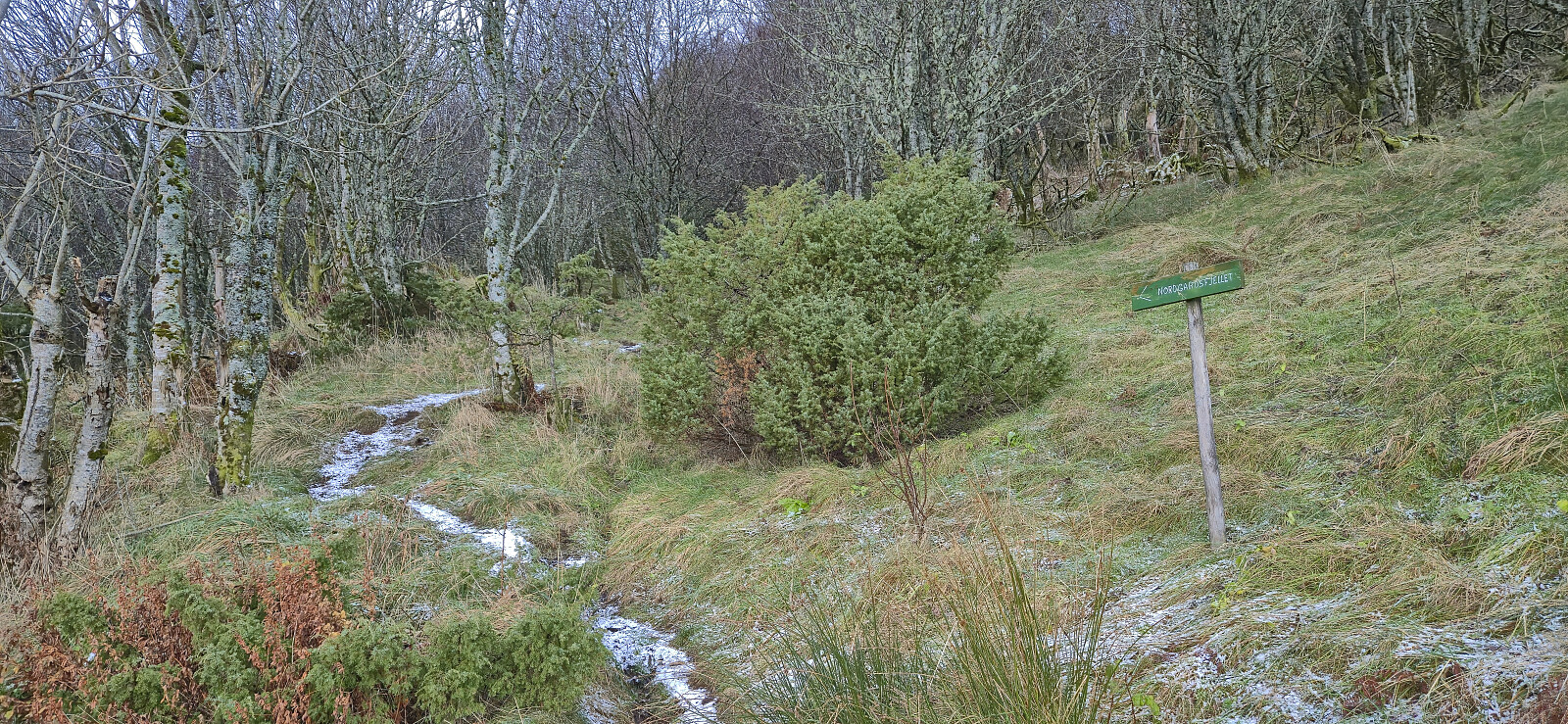
A revisit of Tellevikafjellet via a trail from the north and ending up at Støbotn. The hike started with snow showers and ended with rain.
| Start date | 15.11.2025 12:43 (UTC+01:00) |
| End date | 15.11.2025 15:15 (UTC+01:00) |
| Total Time | 2h 32min |
| Moving Time | 2h 28min |
| Stopped Time | 0h 3min |
| Overall Average | 2.8km/h |
| Moving Average | 2.9km/h |
| Distance | 7.1km |
| Vertical meters | 429m |


User comments