
Holmedalsfjellet from Holmedal (20.09.2025)

Written by hbar (Harald Barsnes)

| Start point | Holmedal (115m) |
|---|---|
| Endpoint | Holmedal (115m) |
| Characteristic | Hillwalk |
| Duration | 1h 53min |
| Distance | 5.5km |
| Vertical meters | 507m |
| GPS |
|
| Ascents | Holmedalsfjellet (613m) | 20.09.2025 11:20 |
|---|
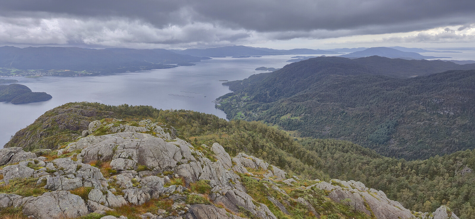
Holmedalsfjellet from Holmedal
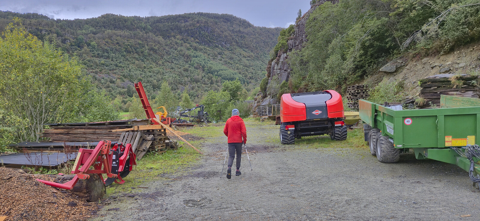
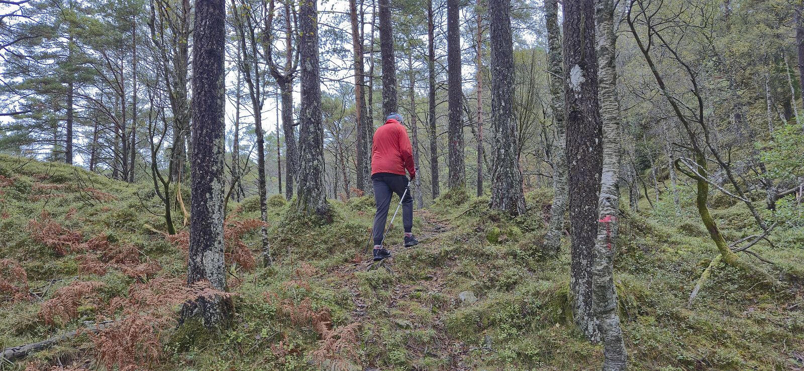
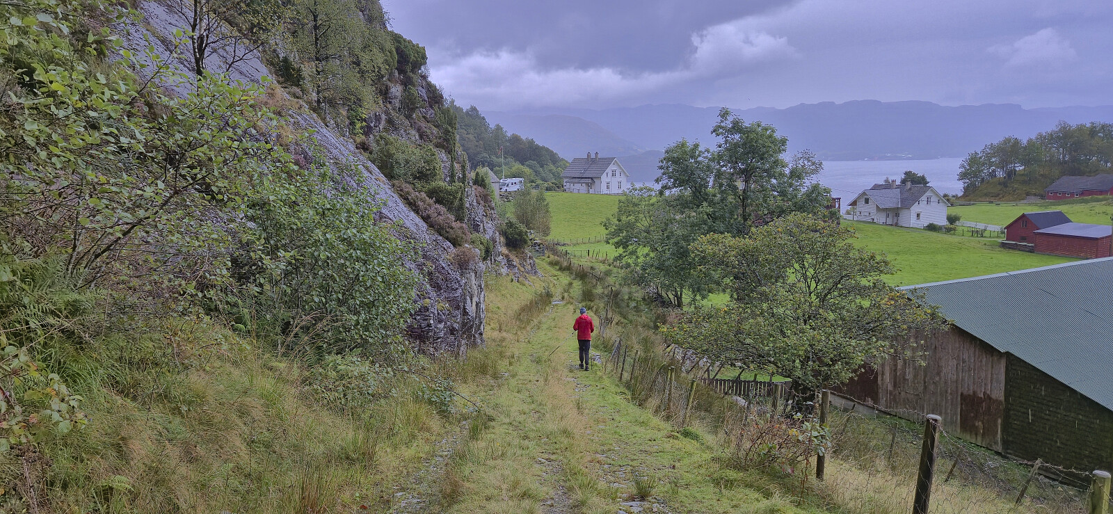
I was picked up by Petter at my place at 07:15 for the drive to Gjermundshamn and the 09:00-ferry to Årsnes. After another hour of driving we arrived at Holmedal to start our ascent of Holmedalsfjellet. There were no proper parking spaces but after talking to some of the locals we were allowed to park more or less at the start of a tractor road which would take us most of the way to the summit.
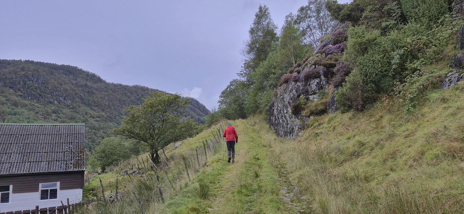
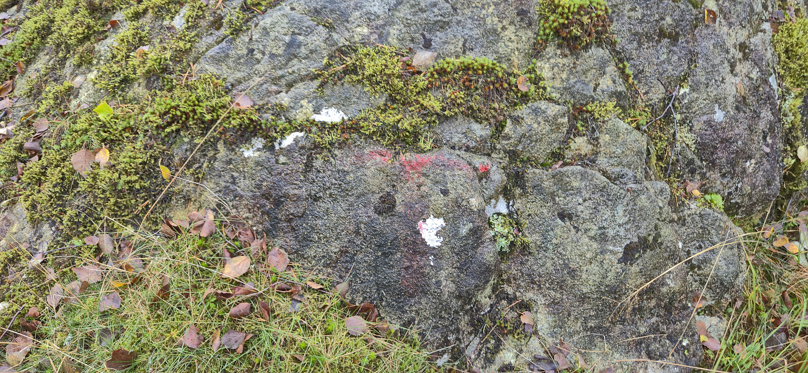
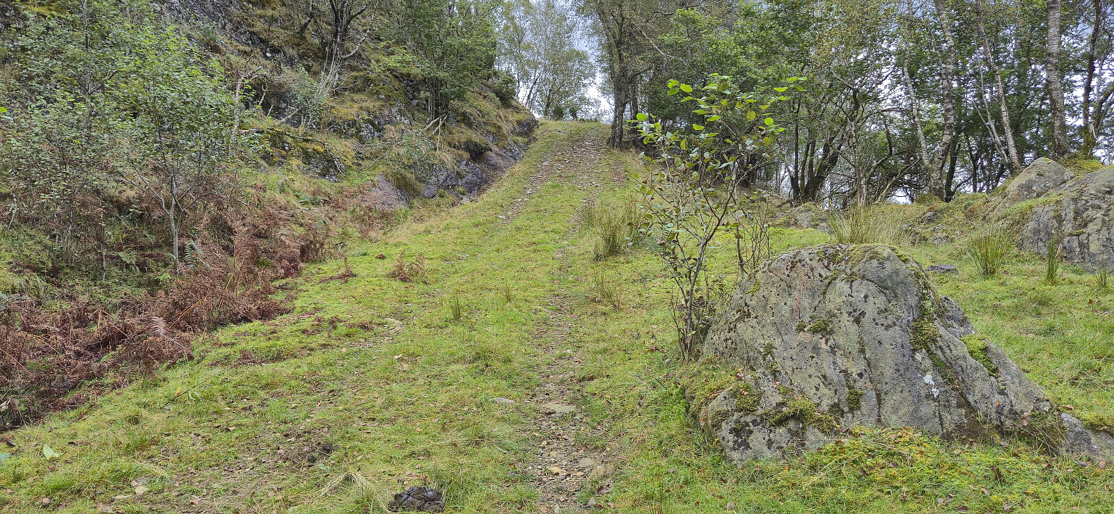
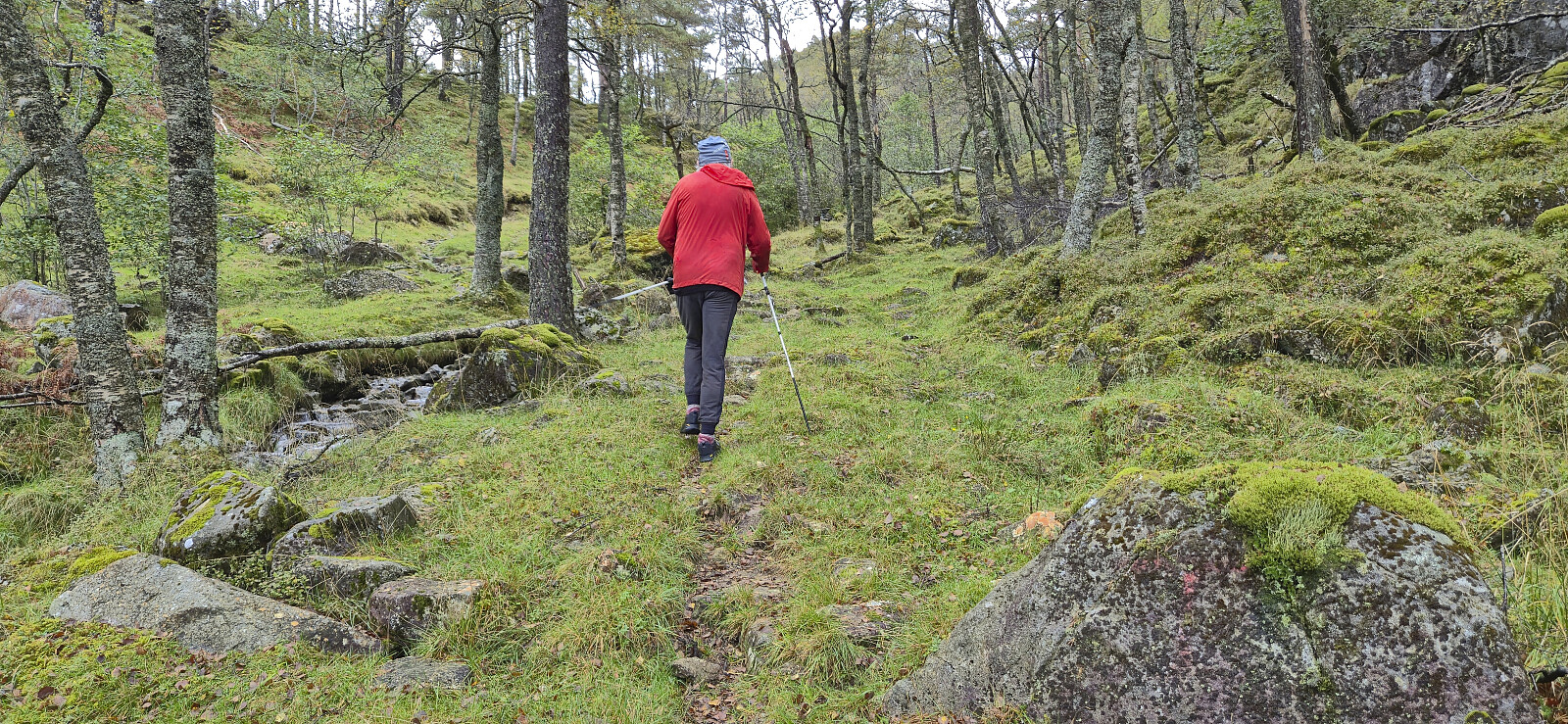
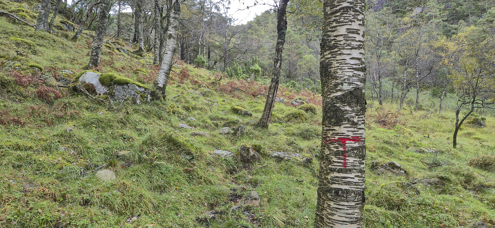
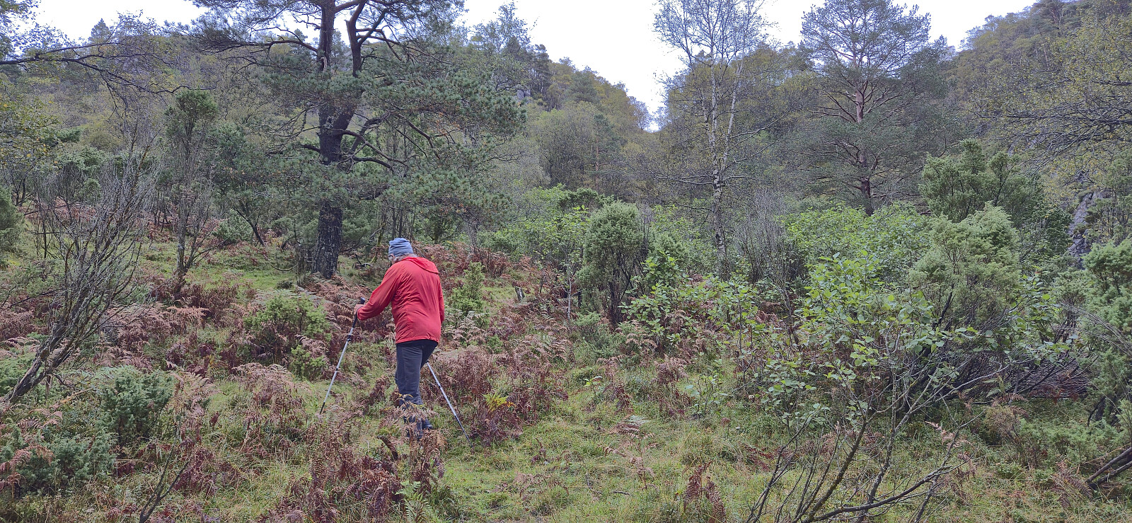
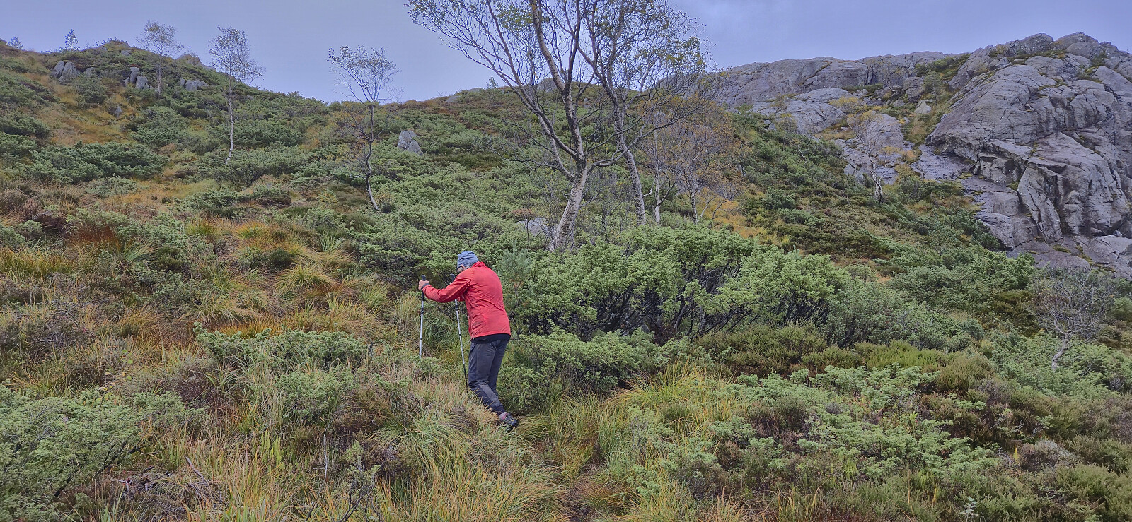
To our surprise, the tractor road, and the later trail, was marked with red T's, although most of the markers were very faded and often difficult to spot. When the tractor road later came to an end, we continued on a weak and wet trail that took us to a second tractor road which we then follow until it turned into a trail that, although rather weak, could be followed all the way to the summit.
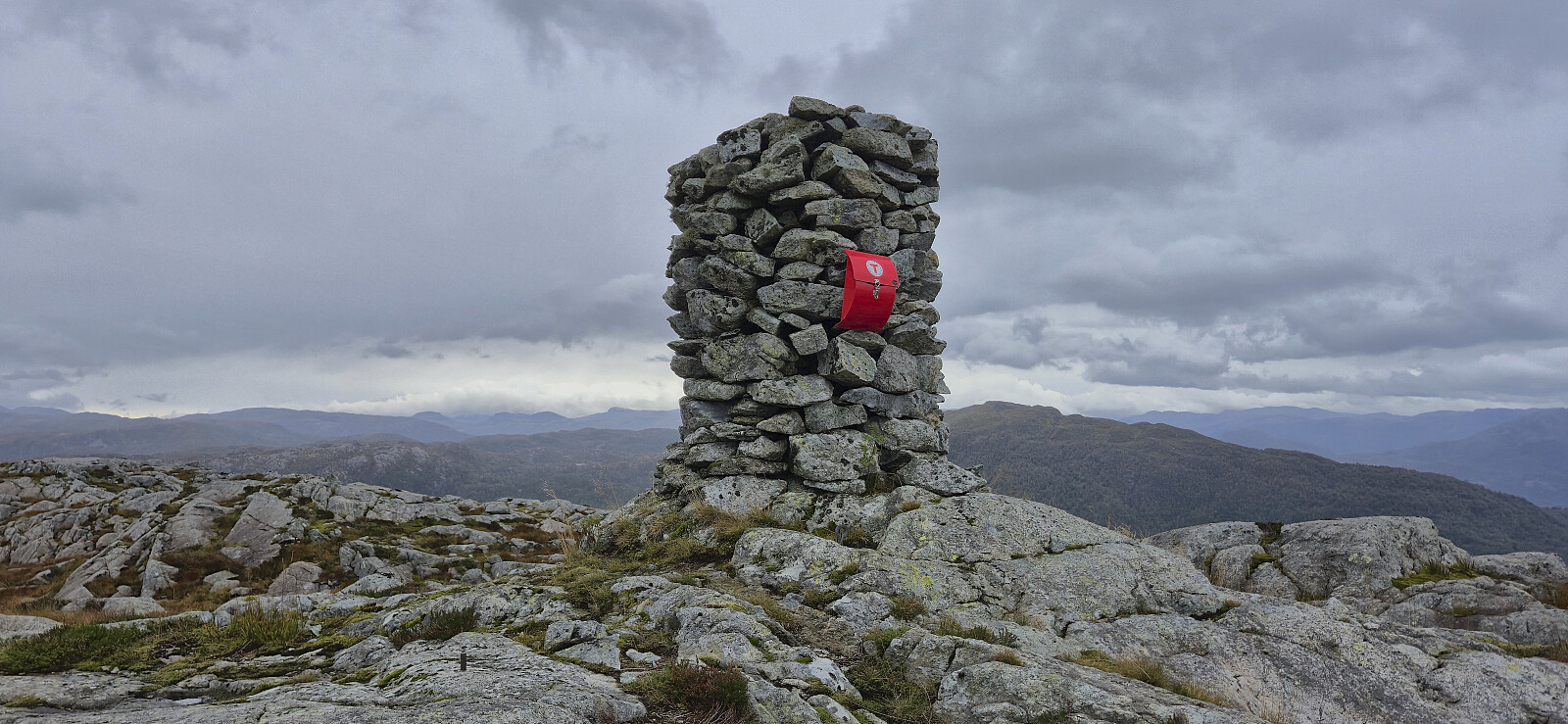
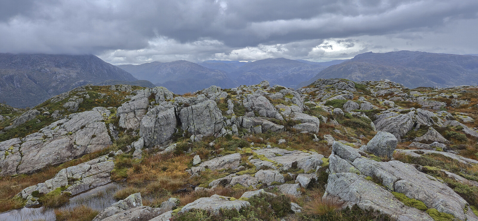
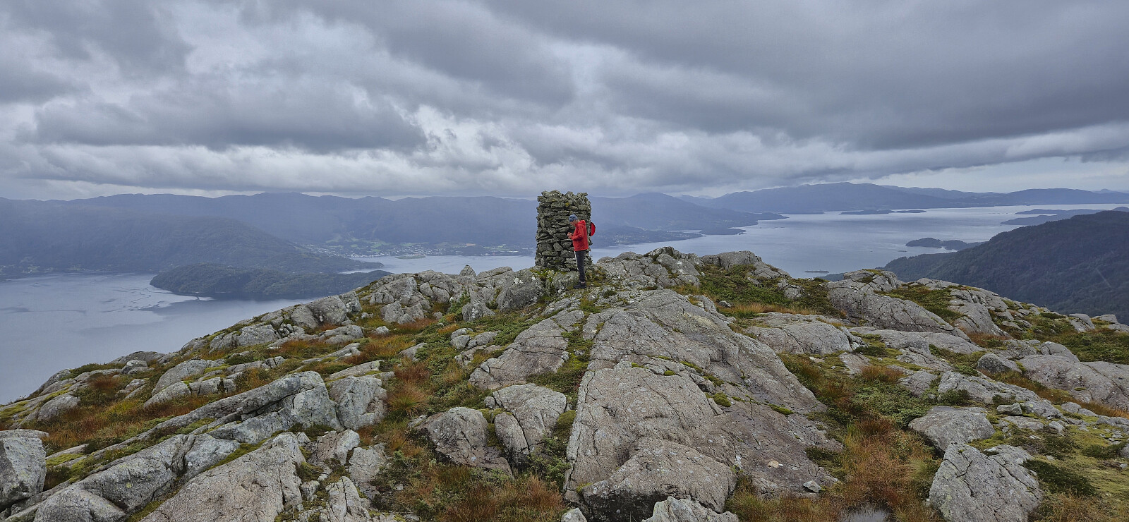
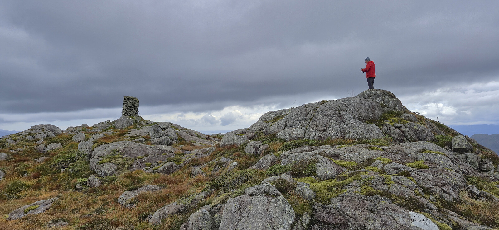
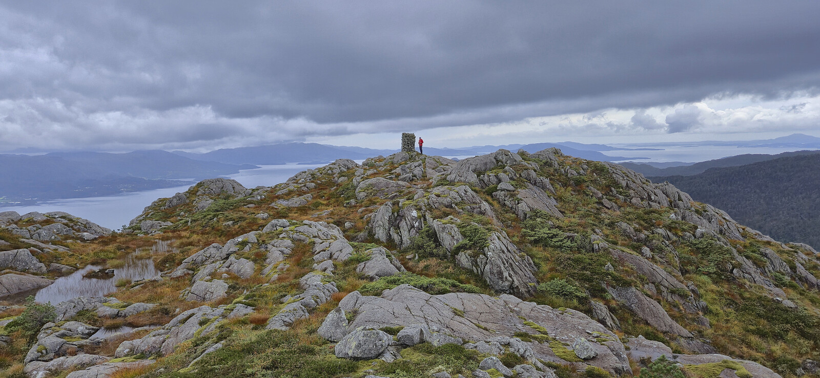
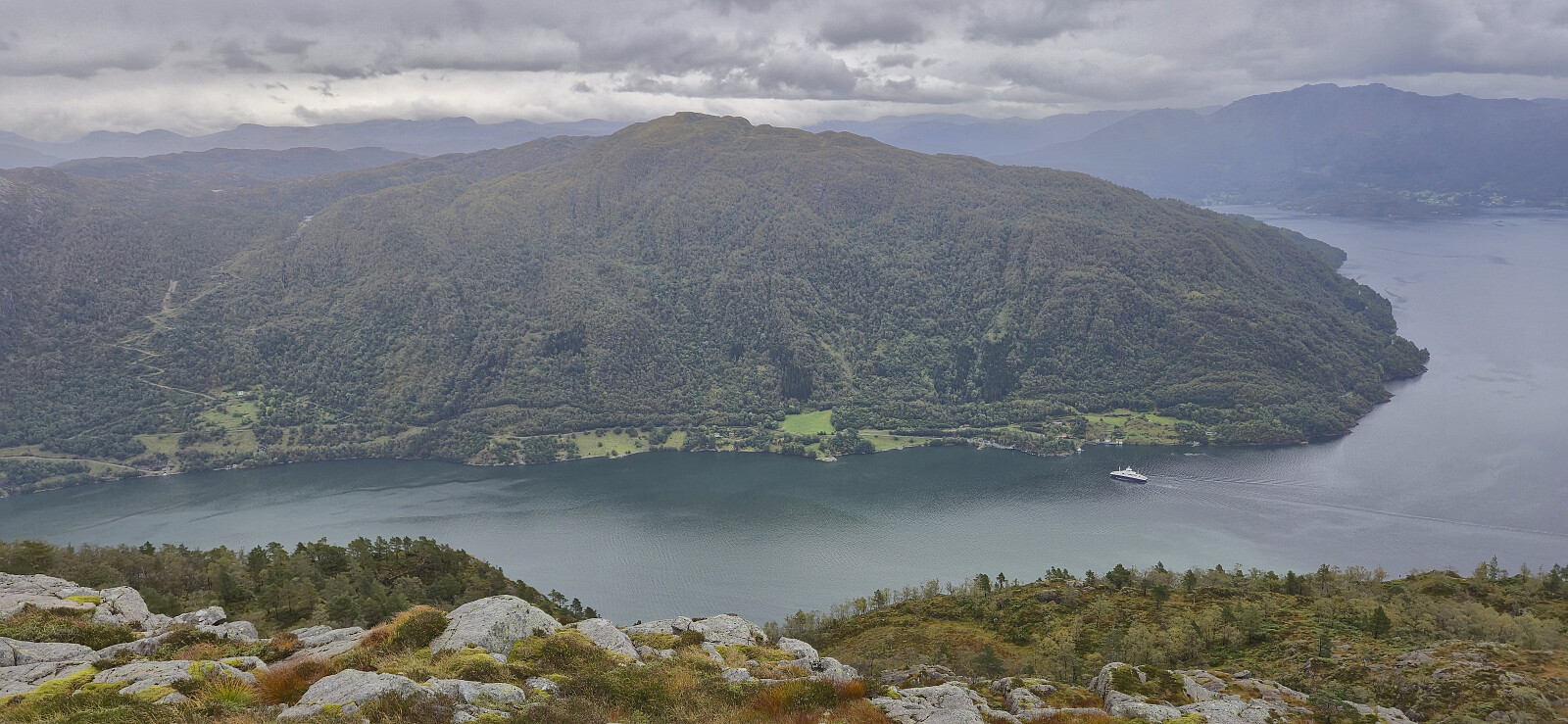
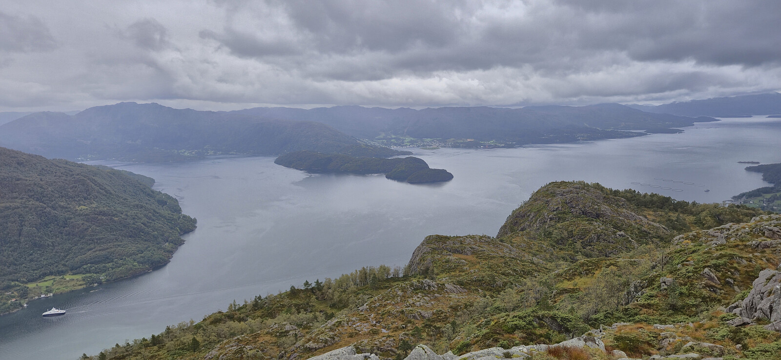
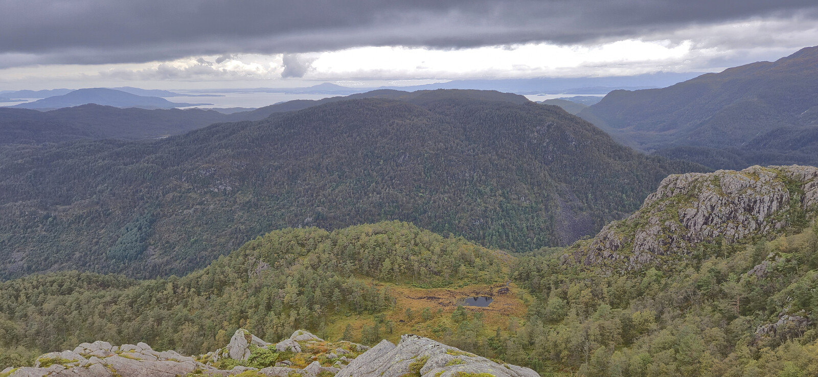
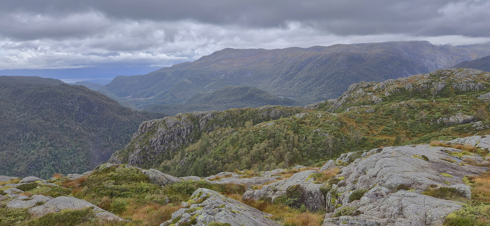
There was a large cairn near the summit, however the highest point was 15-20 meters to the northeast. After a couple of pictures of the excellent view, we descended the same way during an increasingly heavy rain shower.
In summary, a hike to Holmedalsfjellet can be recommended. Just do not expect to easily follow the red trail markers unless they get a much needed repaint. Also be aware of the limited parking options near the trailhead.
Next, we drove the short distance north to Tveitedalen p-plass for our hike to Kampestølsrusta.
| Start date | 20.09.2025 10:21 (UTC+01:00 DST) |
| End date | 20.09.2025 12:15 (UTC+01:00 DST) |
| Total Time | 1h 53min |
| Moving Time | 1h 51min |
| Stopped Time | 0h 1min |
| Overall Average | 2.9km/h |
| Moving Average | 3.0km/h |
| Distance | 5.5km |
| Vertical meters | 506m |


User comments