
Hovlandsskuten and Håfjellet from Skånevik (20.07.2025)

Written by hbar (Harald Barsnes)

| Start point | Skånevik Fjordhotel (4m) |
|---|---|
| Endpoint | Skånevik kai (2m) |
| Characteristic | Hillwalk |
| Duration | 7h 28min |
| Distance | 19.2km |
| Vertical meters | 1,277m |
| GPS |
|
| Ascents | Hovlandsskuten (784m) | 20.07.2025 11:06 |
|---|---|---|
| Tjellenuten (707m) | 20.07.2025 12:07 | |
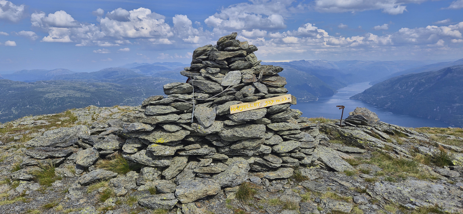
| Håfjellet (937m) | 20.07.2025 13:00 | |
| Hodnet (902m) | 20.07.2025 13:40 | |
| Visits of other PBEs | Juraskarskjerringa (701m) | 20.07.2025 12:05 |
Hovlandsskuten and Håfjellet from Skånevik
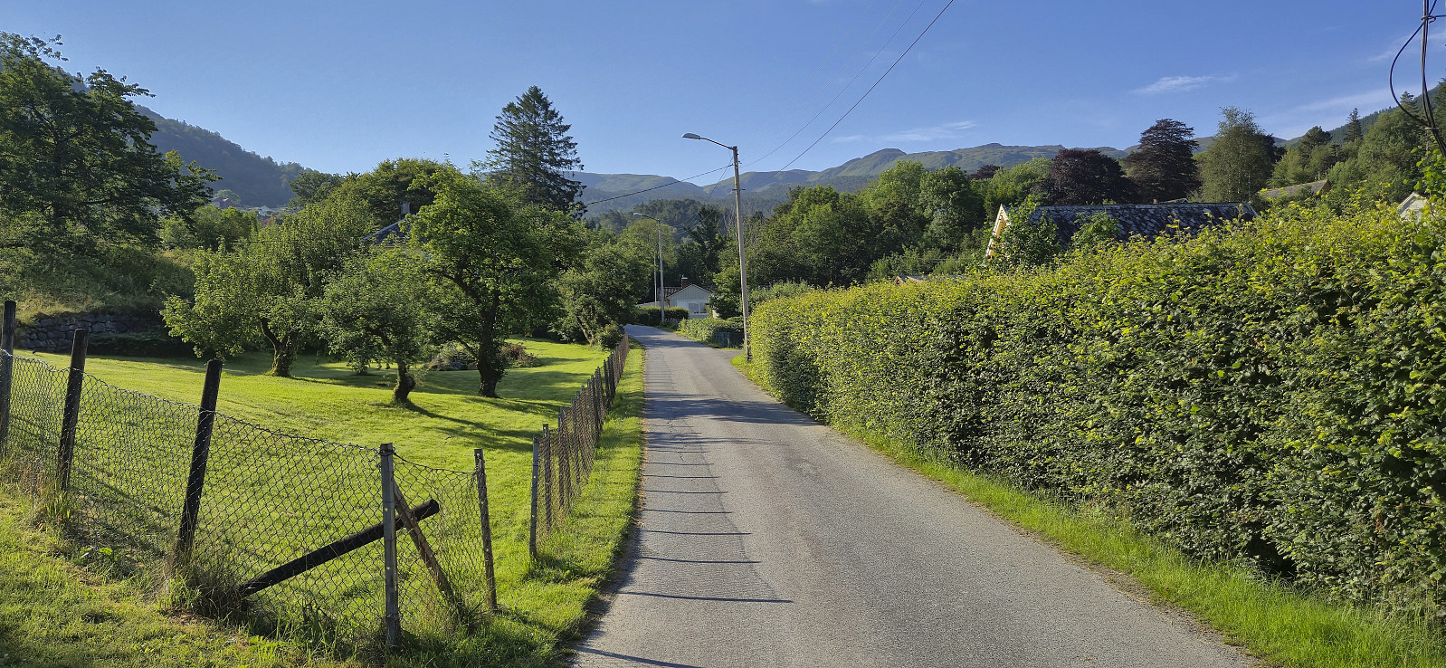
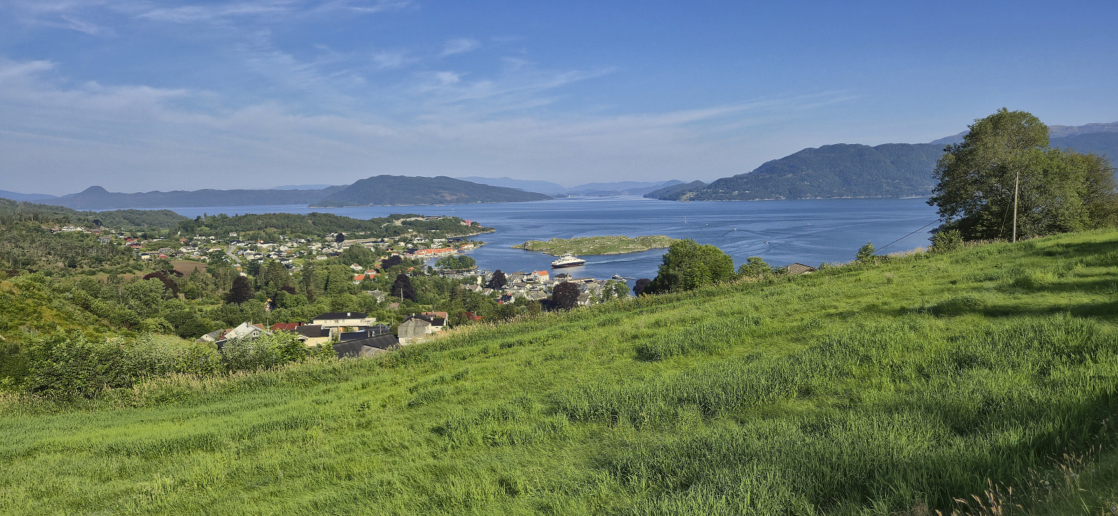
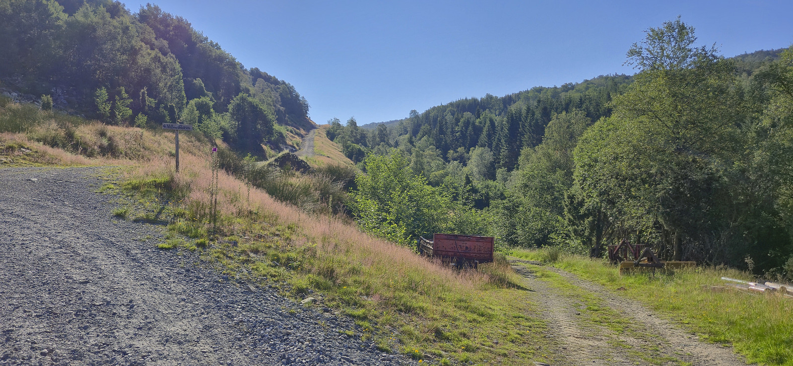
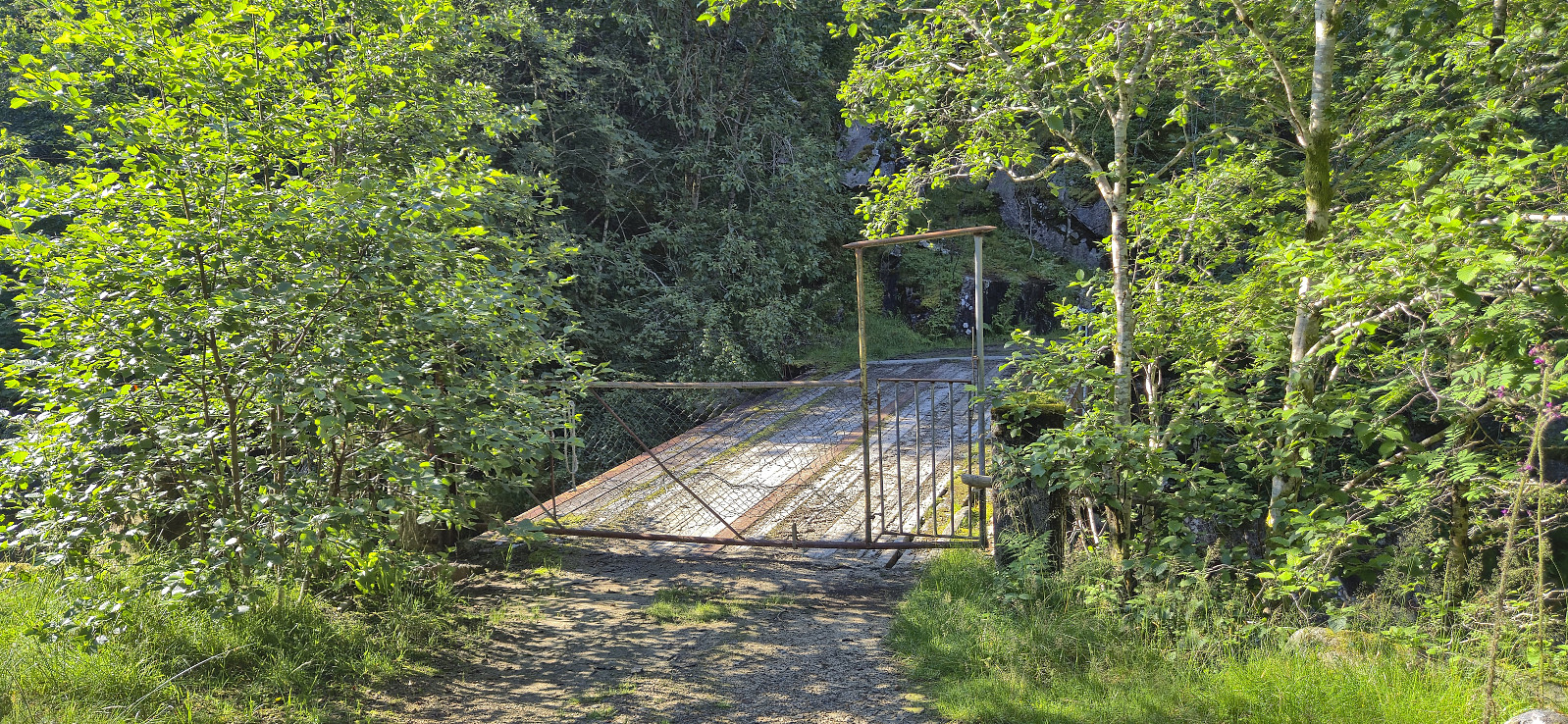
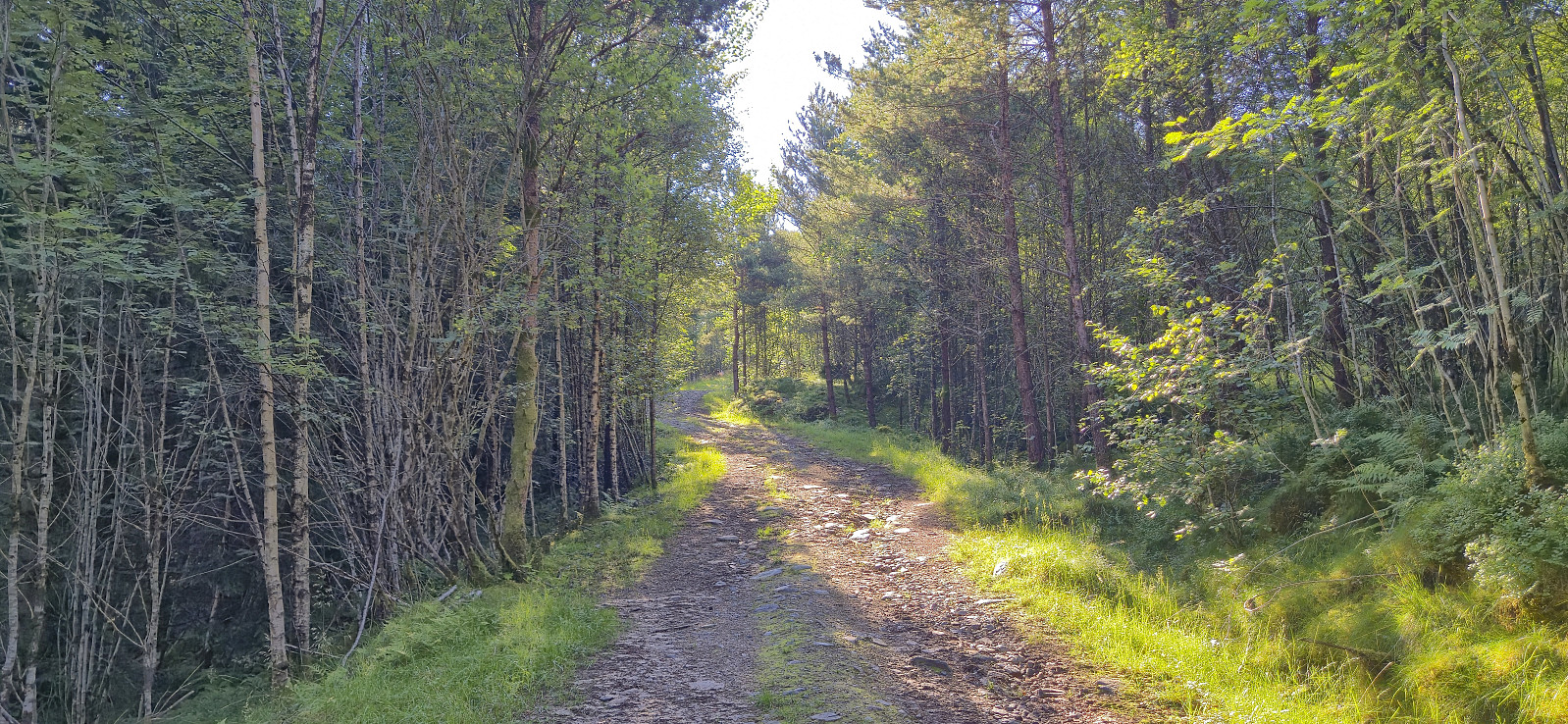
After another early breakfast, I checked out of Skånevik Fjordhotel and left behind most of my luggage to be picked up at the end of the hike. I started following the road east before turning southeast and ascending Åsheimsvegen. When the gravel road forked west of Valdra I crossed Valdraelva via a bridge and continued on a tractor road until it came to an end near a couple of cabins close to Måsahaugen.
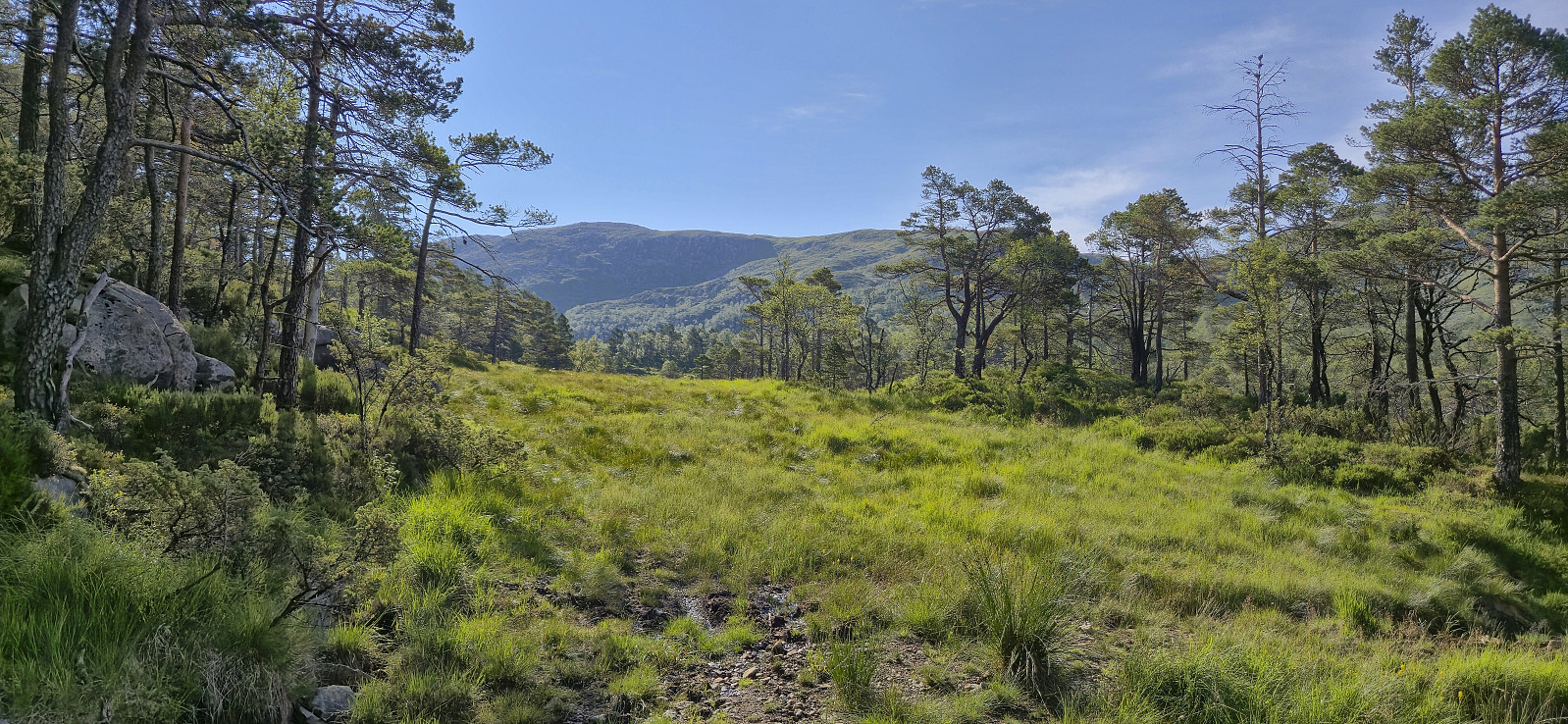
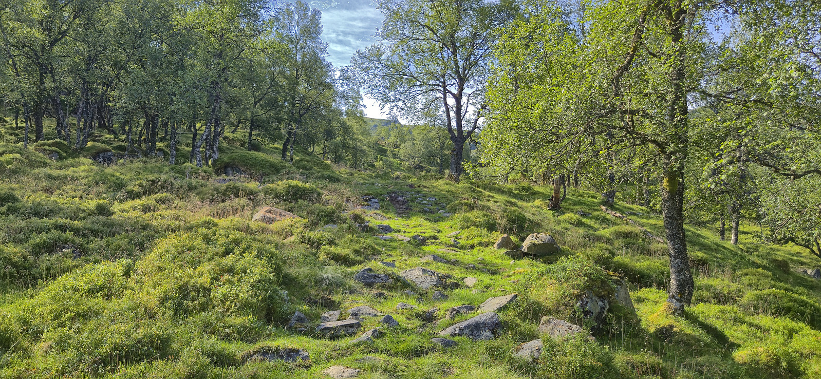
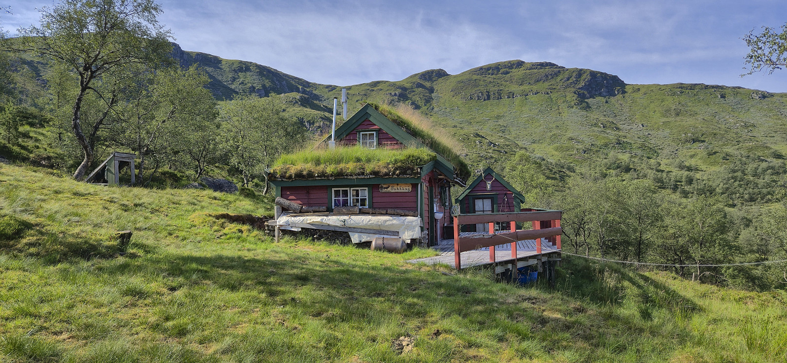
Just as I was about to start on the route taking me up to the uppermost cabin called Takhaug, I spotted the one thing that I'd rather not see just before setting out on a longer off-trail part of a hike: a viper slithering away to my left. Hoping that more were not hiding in the tall gras, I continued across a wet area before following the weak traces of a tractor road that seemed to be more used by ATVs.
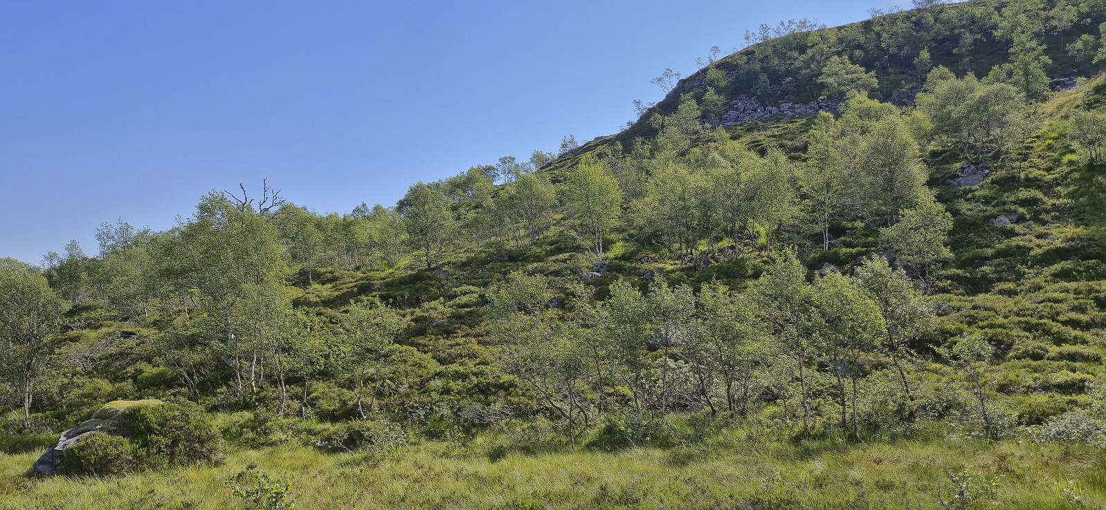
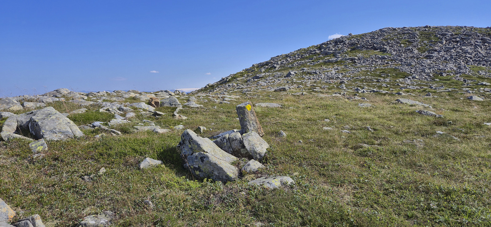
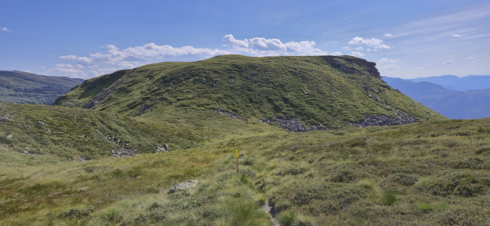
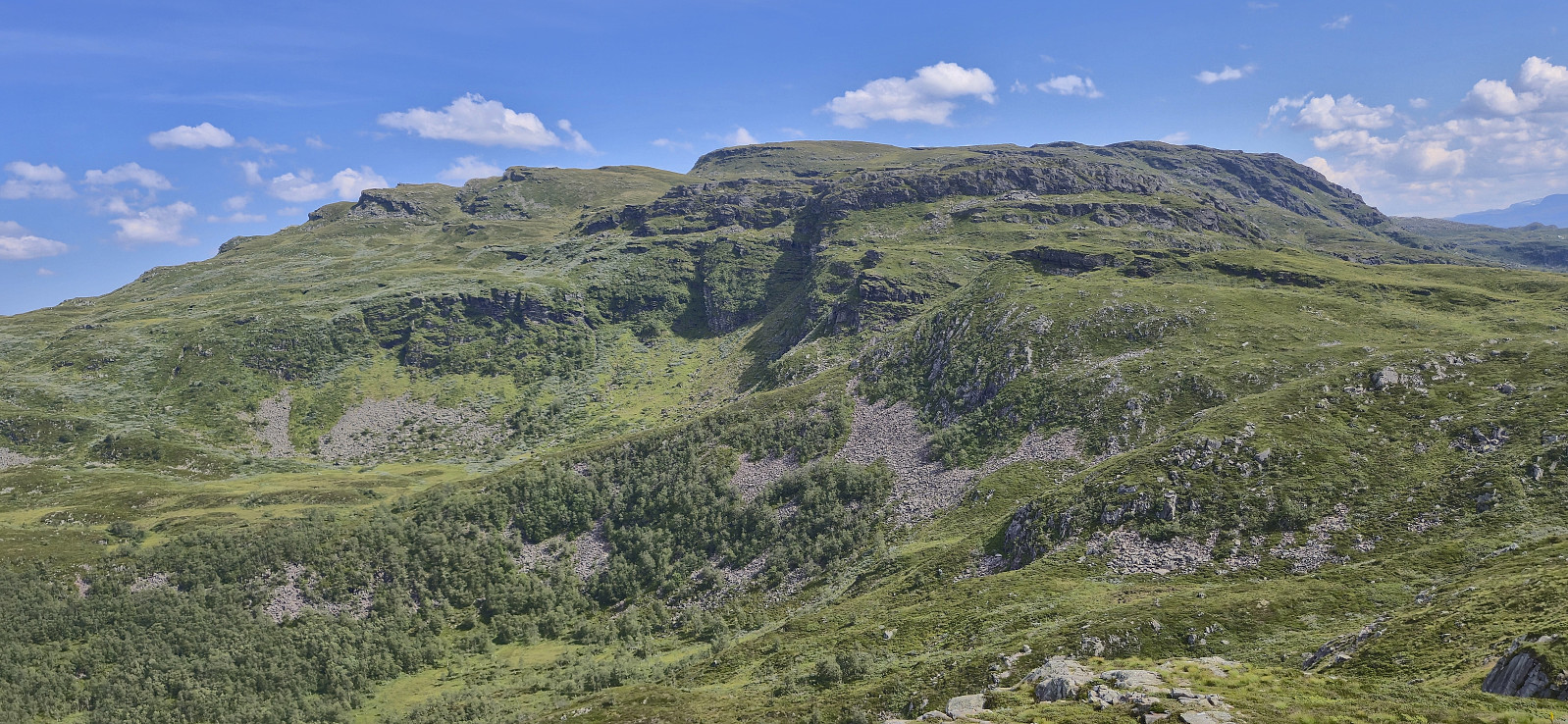
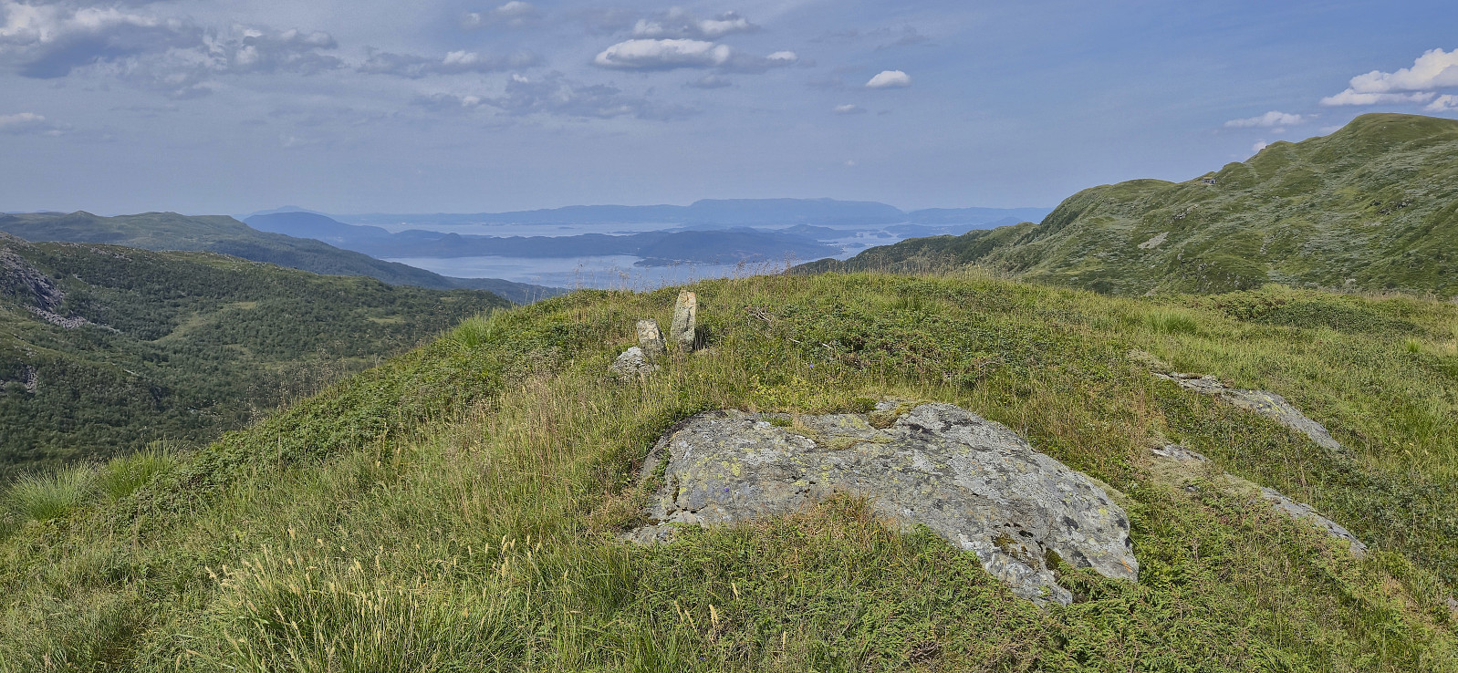
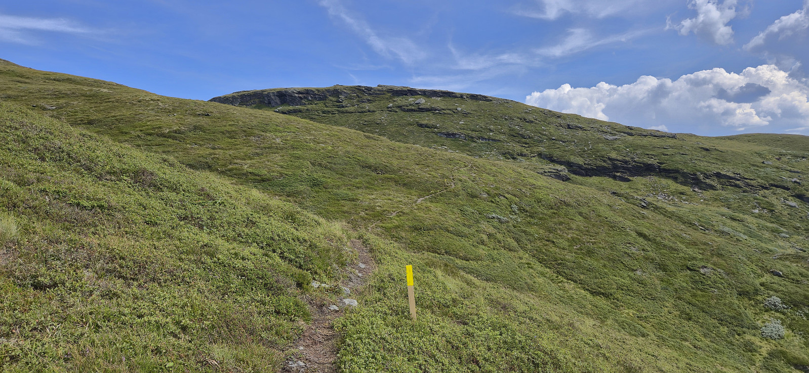
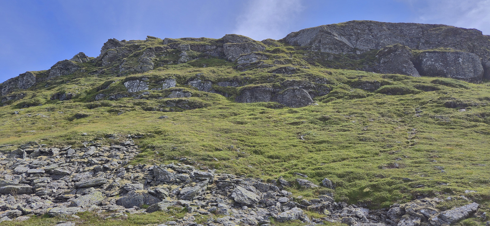
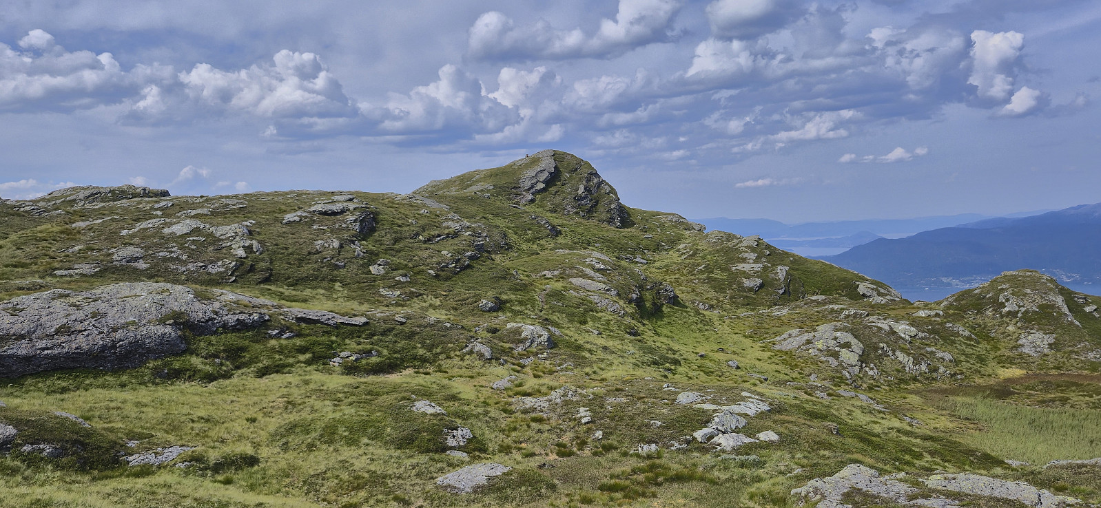
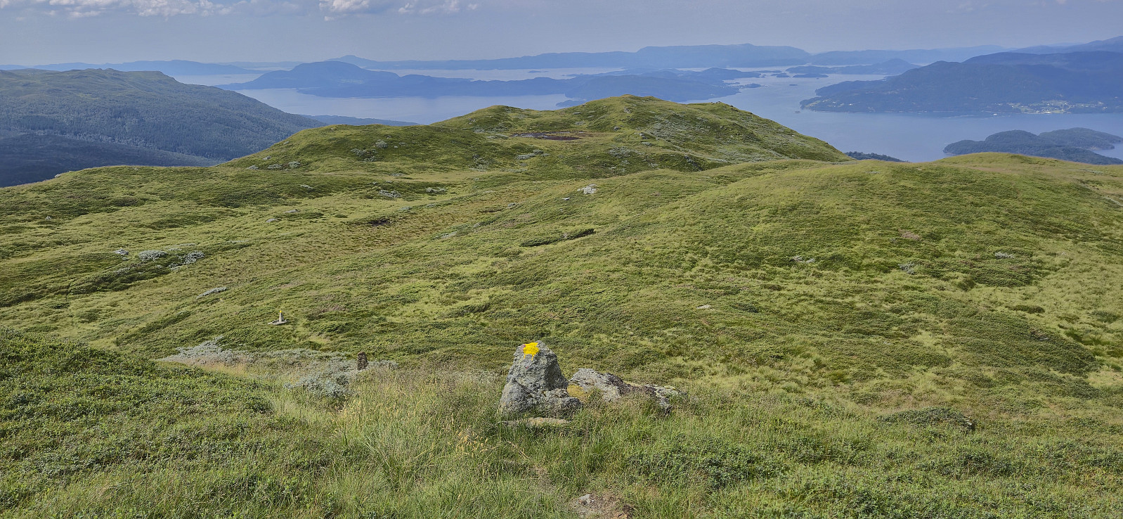
When the road came an end just south of Takhaug, I ascended off-trail to connect with the trail west of Hovlandsskuten. Except thinking too much about potential vipers hiding in the tall grass, the ascent was straightforward and the trail marked with yellow paint was easily located. Now it was simply a matter of following the trail east towards the summit, which was reached with a minor off-trail detour.
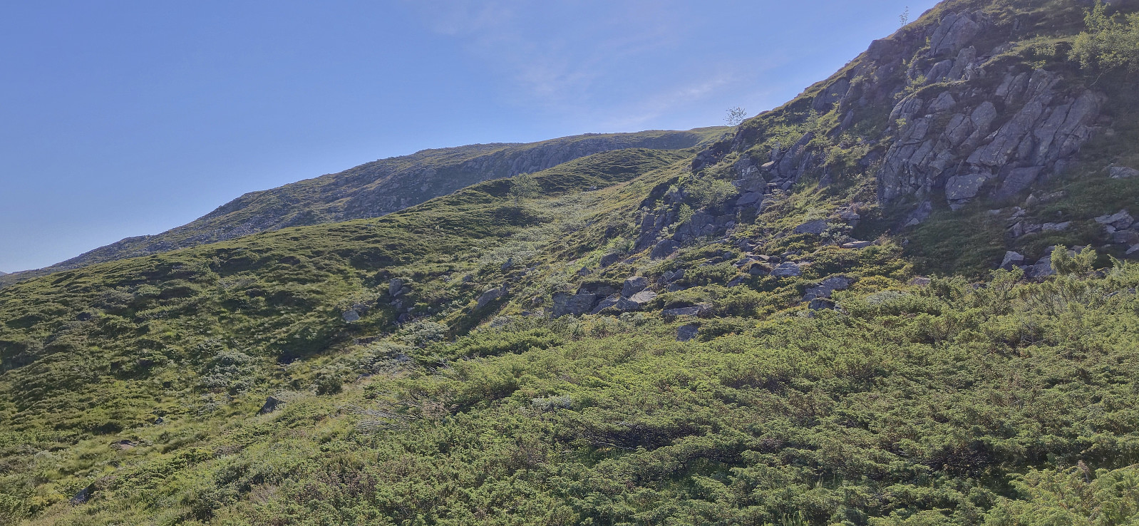
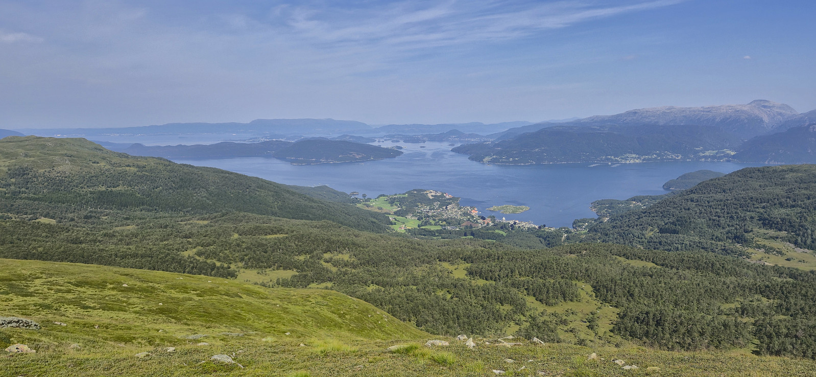
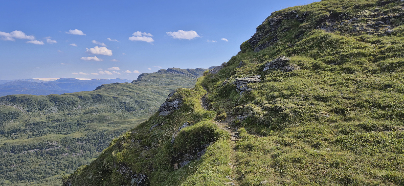
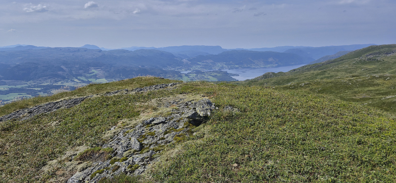
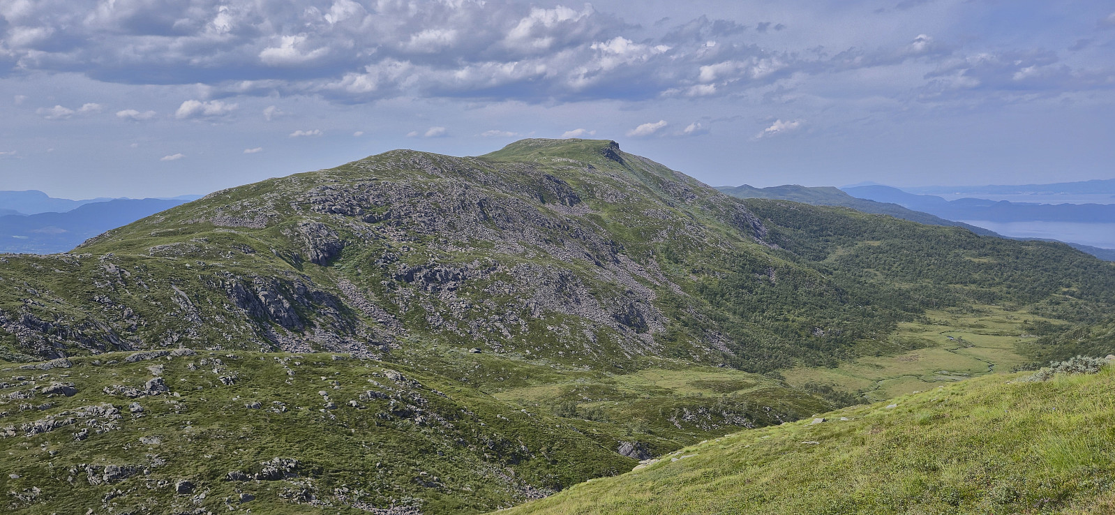
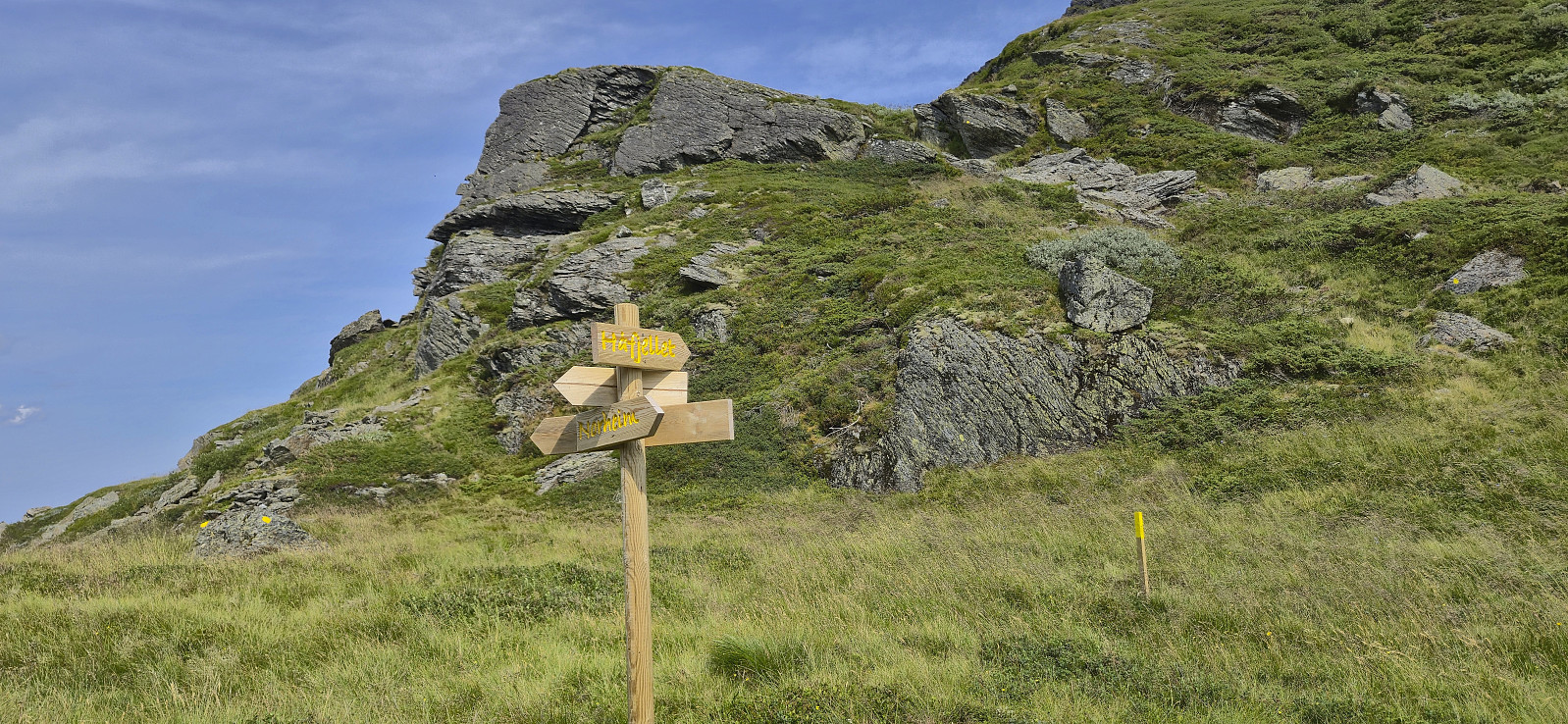
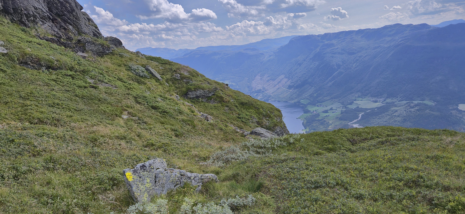
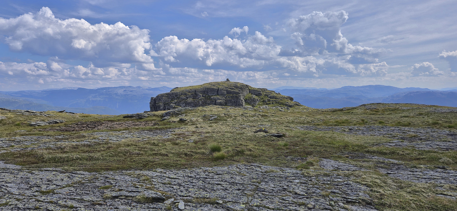
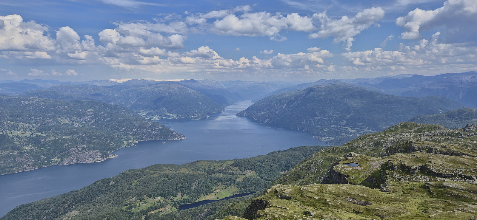
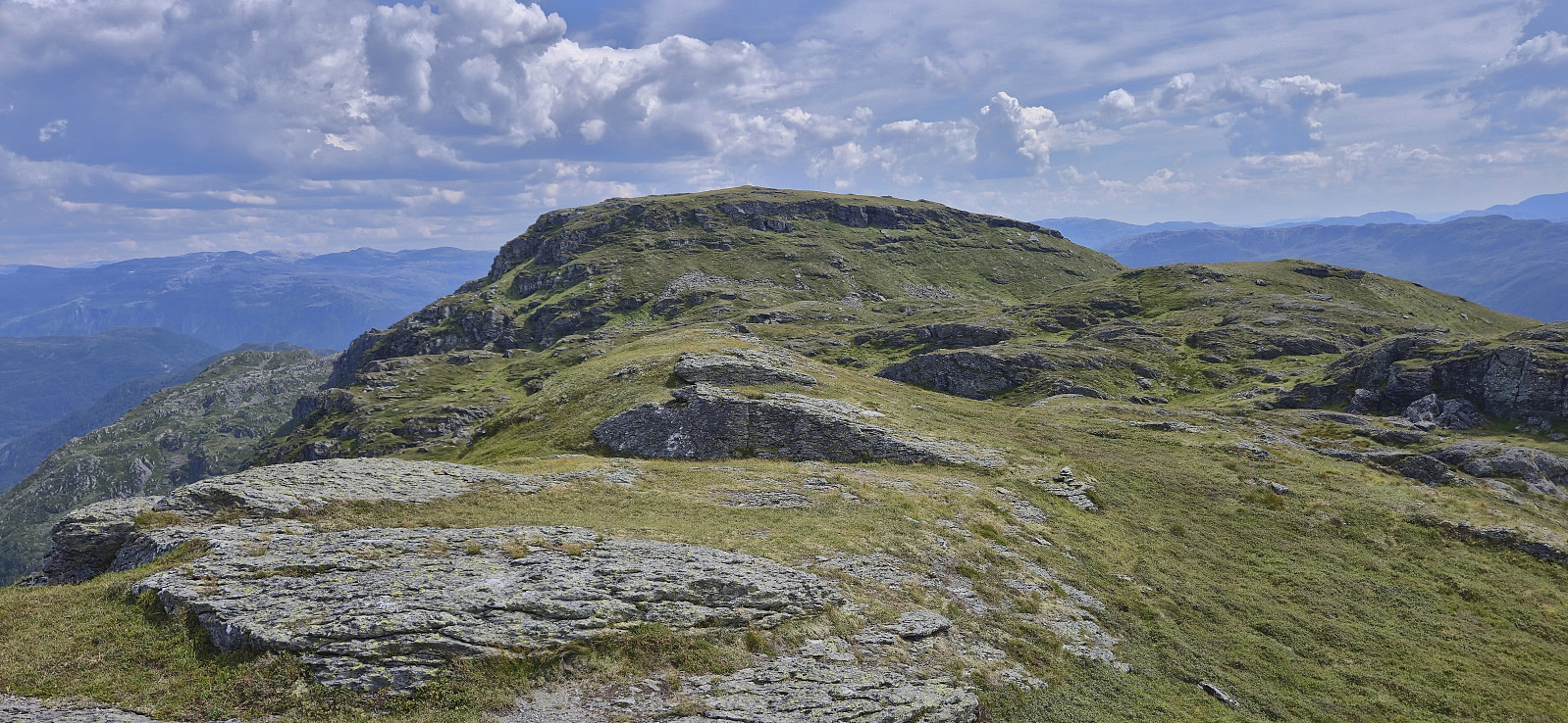
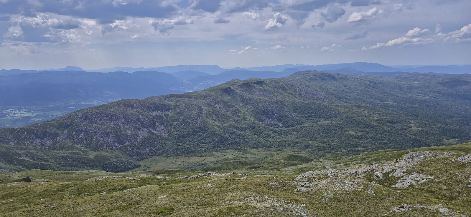
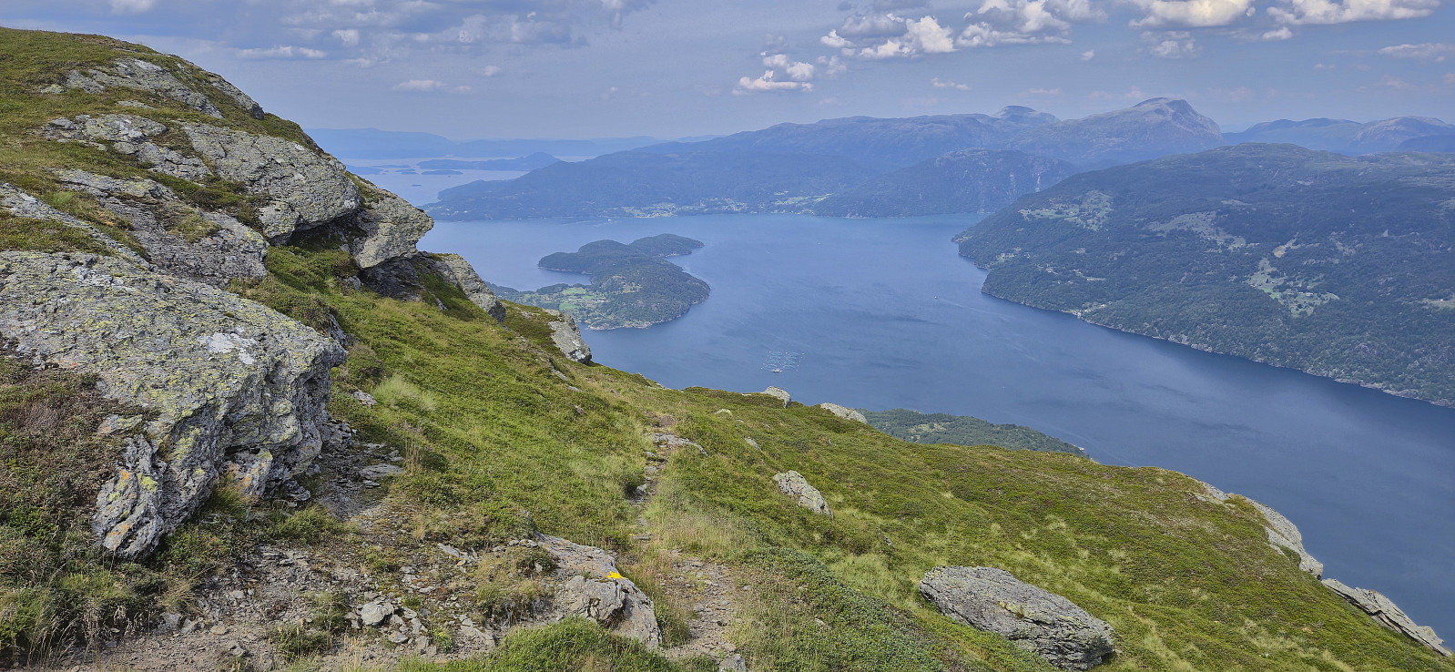
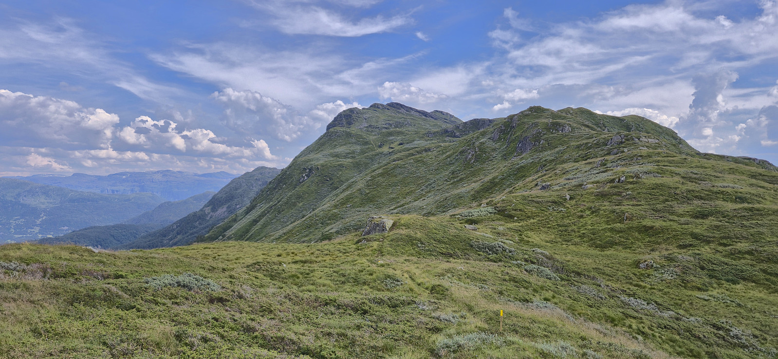
After returning to the marked trail I could enjoy the excellent views as I made my way towards Tjellenuten and Juraskarskjerringa (now split into two PB-elements, as their location is not identical). To my surprise, I was happy to see that the marked trail continued north from Juraskarskjerringa and could in fact be followed all the way to Håfjellet, thus providing an easy route to the summit. Spectacular views from the summit, most notably towards Åkrafjorden and Folgefonna.
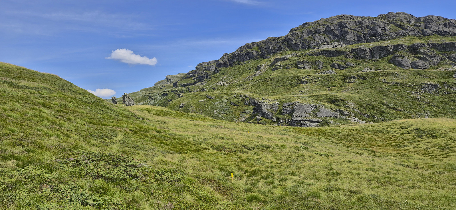
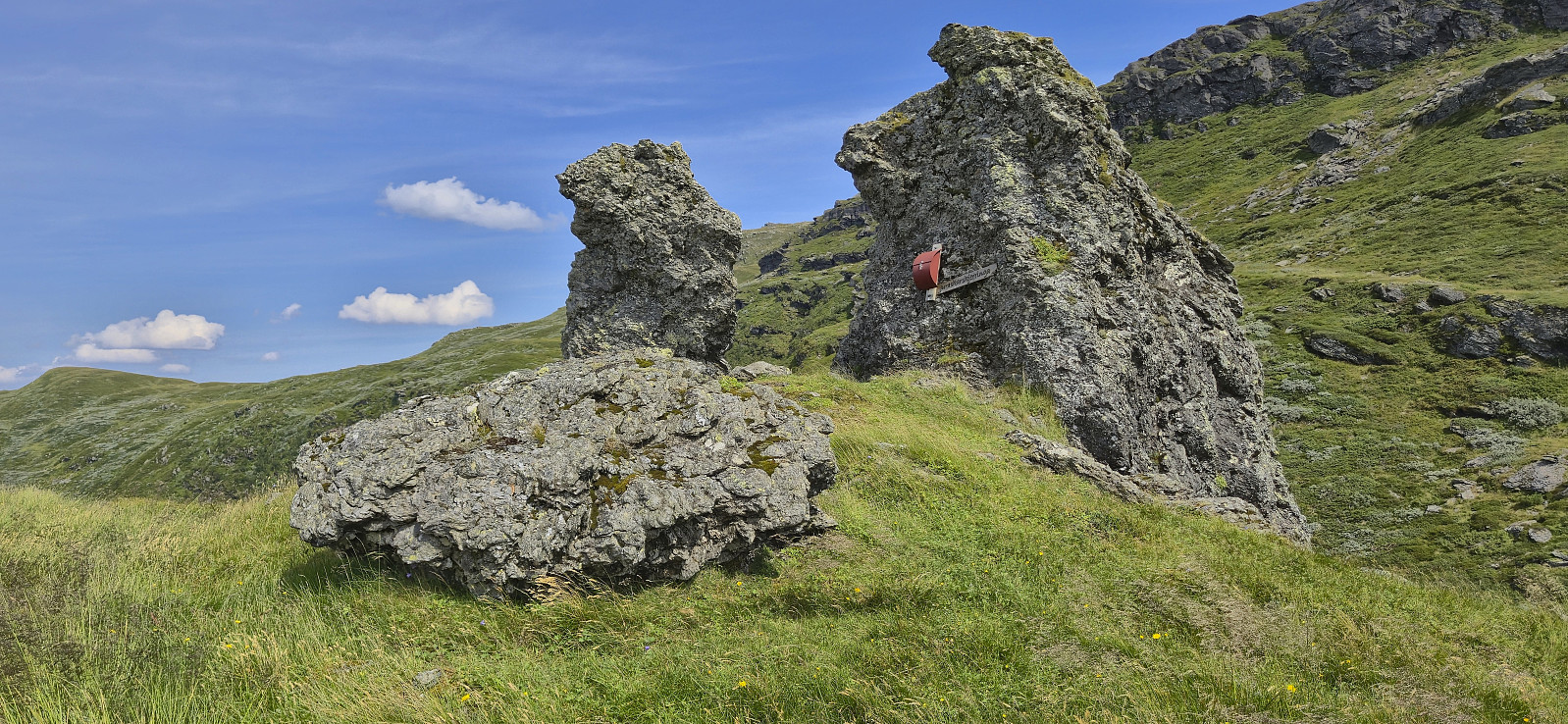
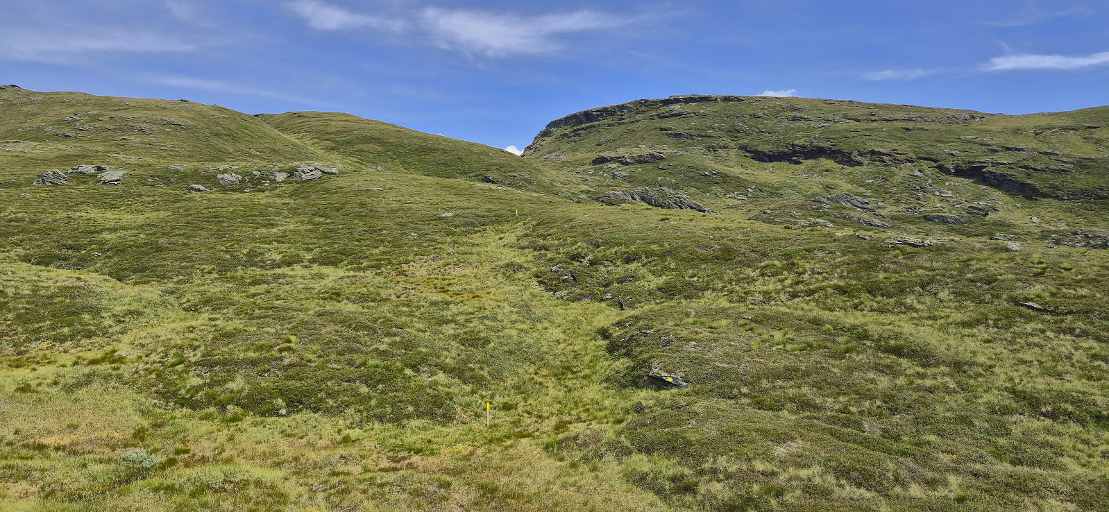
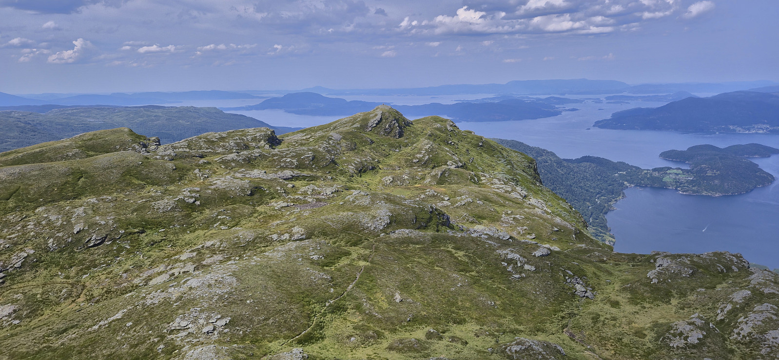
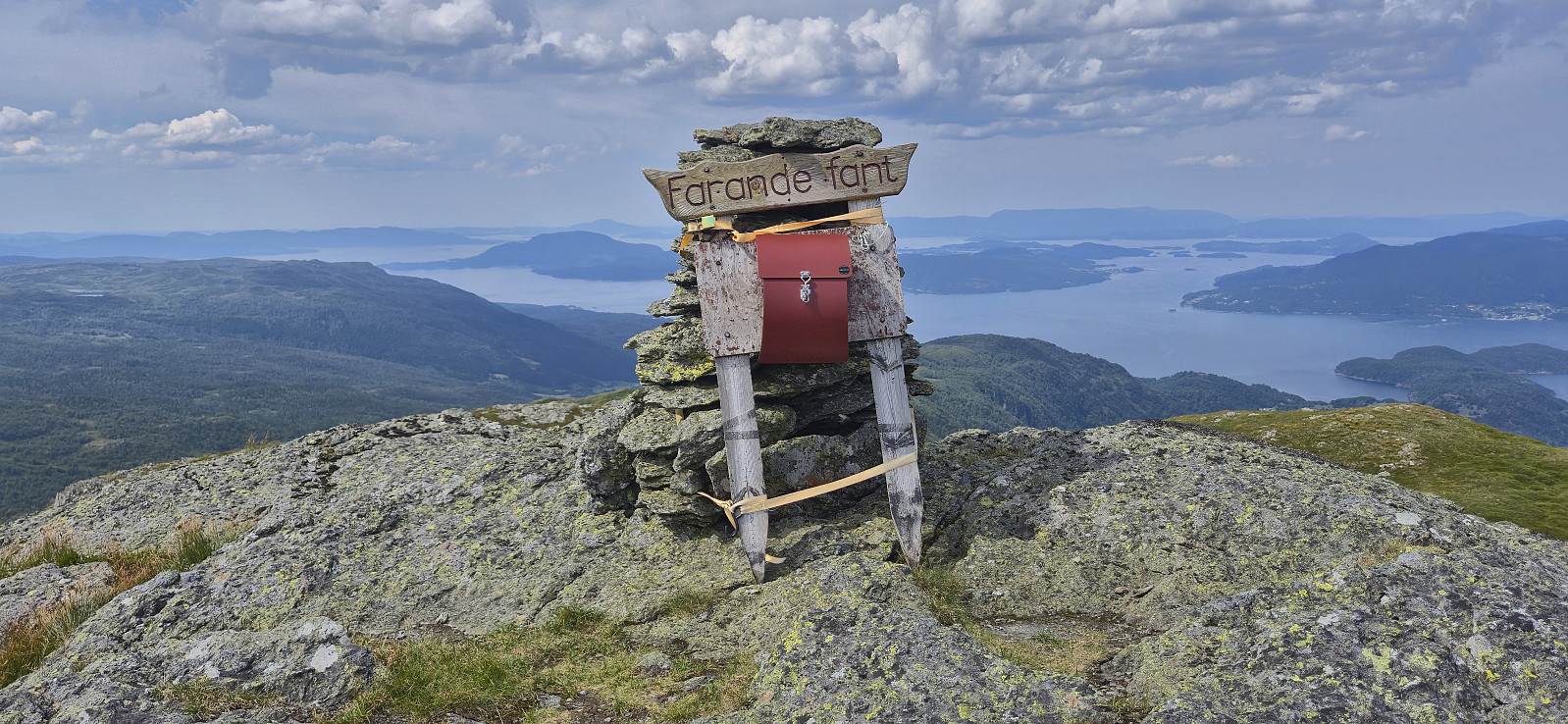
From the summit of Håfjellet I returned west along the same route and then began my descent west along the ridge. As I was approaching Farande fant I once more came across the yellow trail markers, thus I assume that it should be possible to follow the markers all the way from the end of the steepish descent from Håfjellet. But if not, simply aim for Farande fant and pick them up from there.
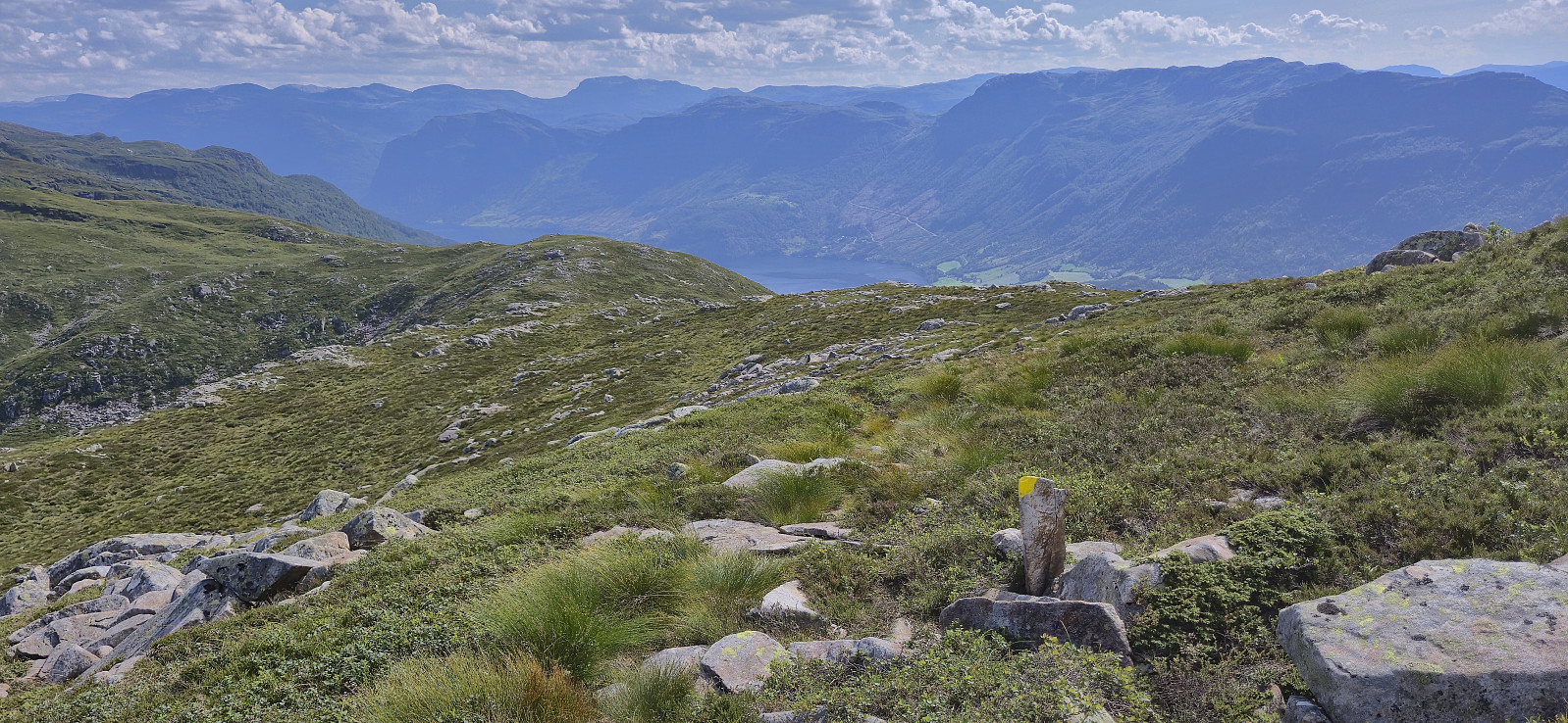
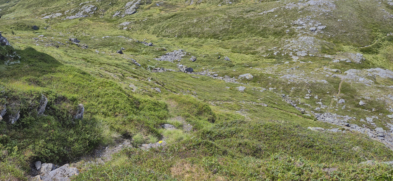
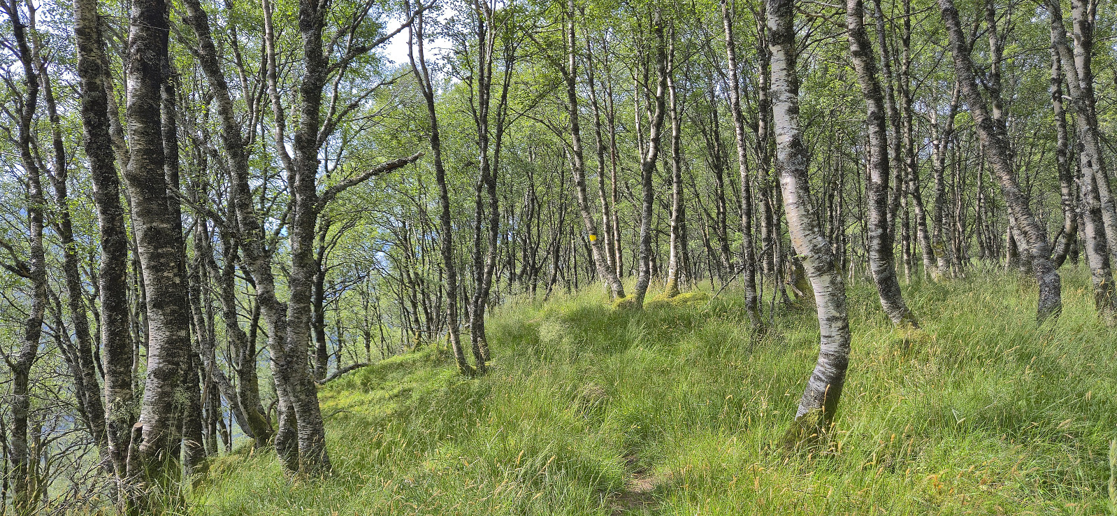
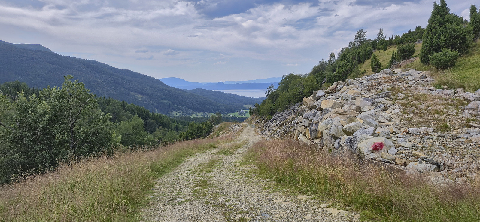
All that remained was to follow the yellow markers to Valdra and then the gravel road back towards Skånevik, overall along a nice trail with excellent views. After picking up my luggage at the hotel, I had plenty of time for an ice cream while waiting for the boat.
To summarize, this roundtrip can be highly recommended. Spectacular views and except for the short off-trail ascent from Takhaug it follows either tractor roads or marked trails.
| Start date | 20.07.2025 08:43 (UTC+01:00 DST) |
| End date | 20.07.2025 16:11 (UTC+01:00 DST) |
| Total Time | 7h 28min |
| Moving Time | 6h 32min |
| Stopped Time | 0h 55min |
| Overall Average | 2.6km/h |
| Moving Average | 2.9km/h |
| Distance | 19.2km |
| Vertical meters | 1,277m |


User comments