
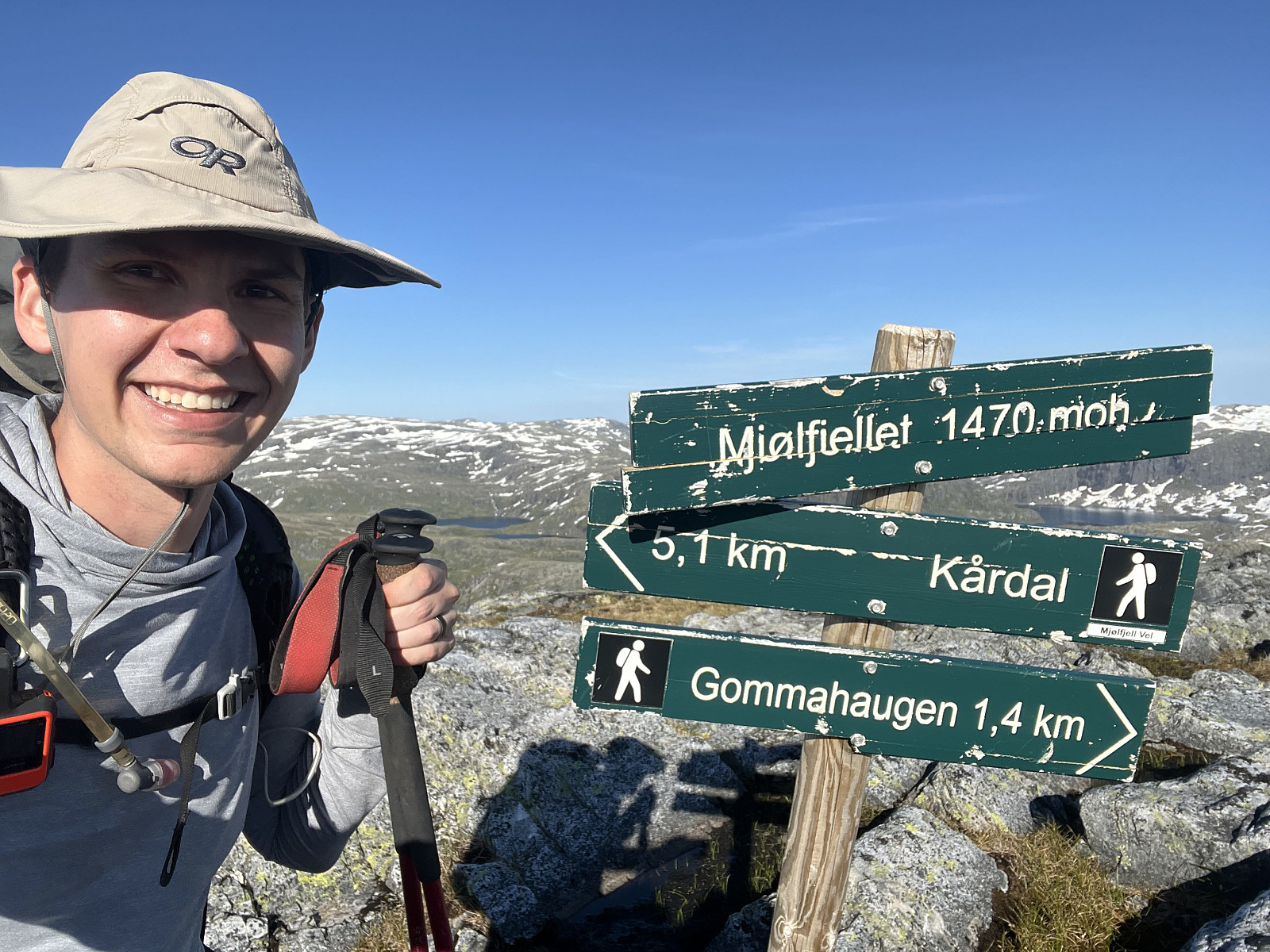
Mjølfjellet (12.07.2025)

Written by azblonsky (Adam Blonsky)
| Start point | Mjøfjell (575m) |
|---|---|
| Endpoint | Møfjell (575m) |
| Characteristic | Hike |
| Distance | 19.0km |
| Vertical meters | 971m |
| GPS |
|
| Ascents | Mjølfjellet (1,470m) | 12.07.2025 |
|---|
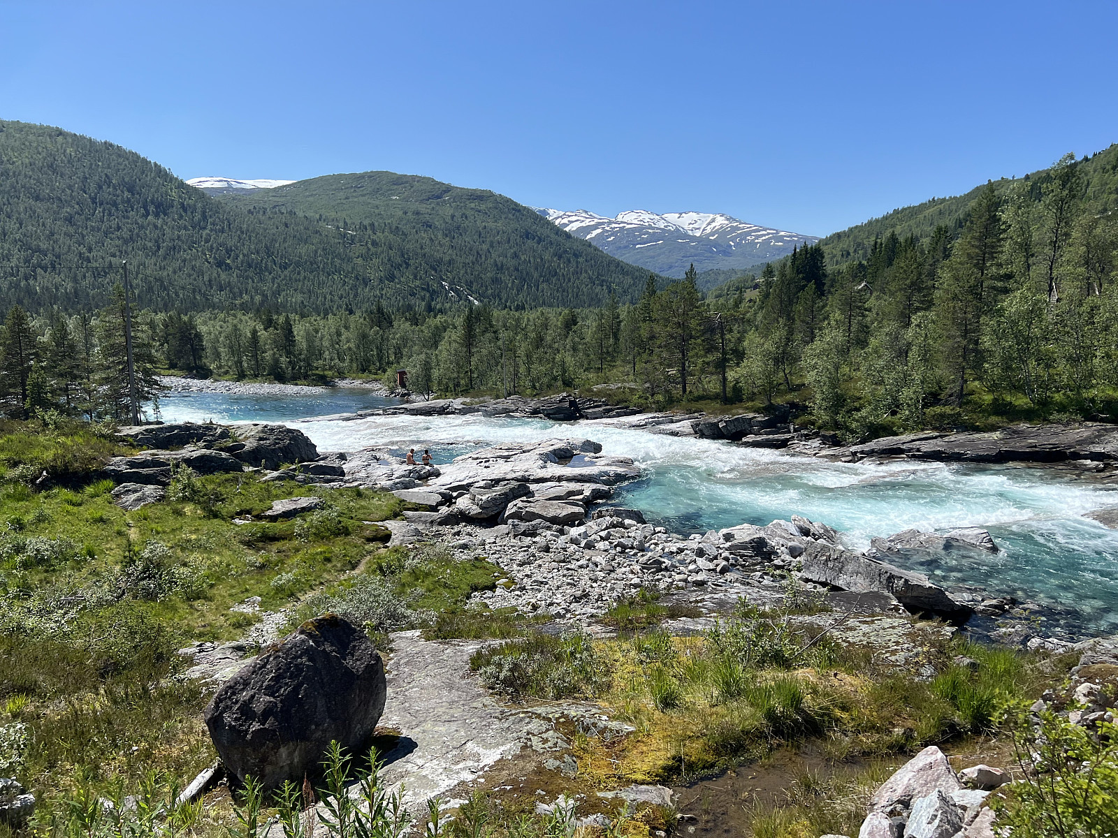
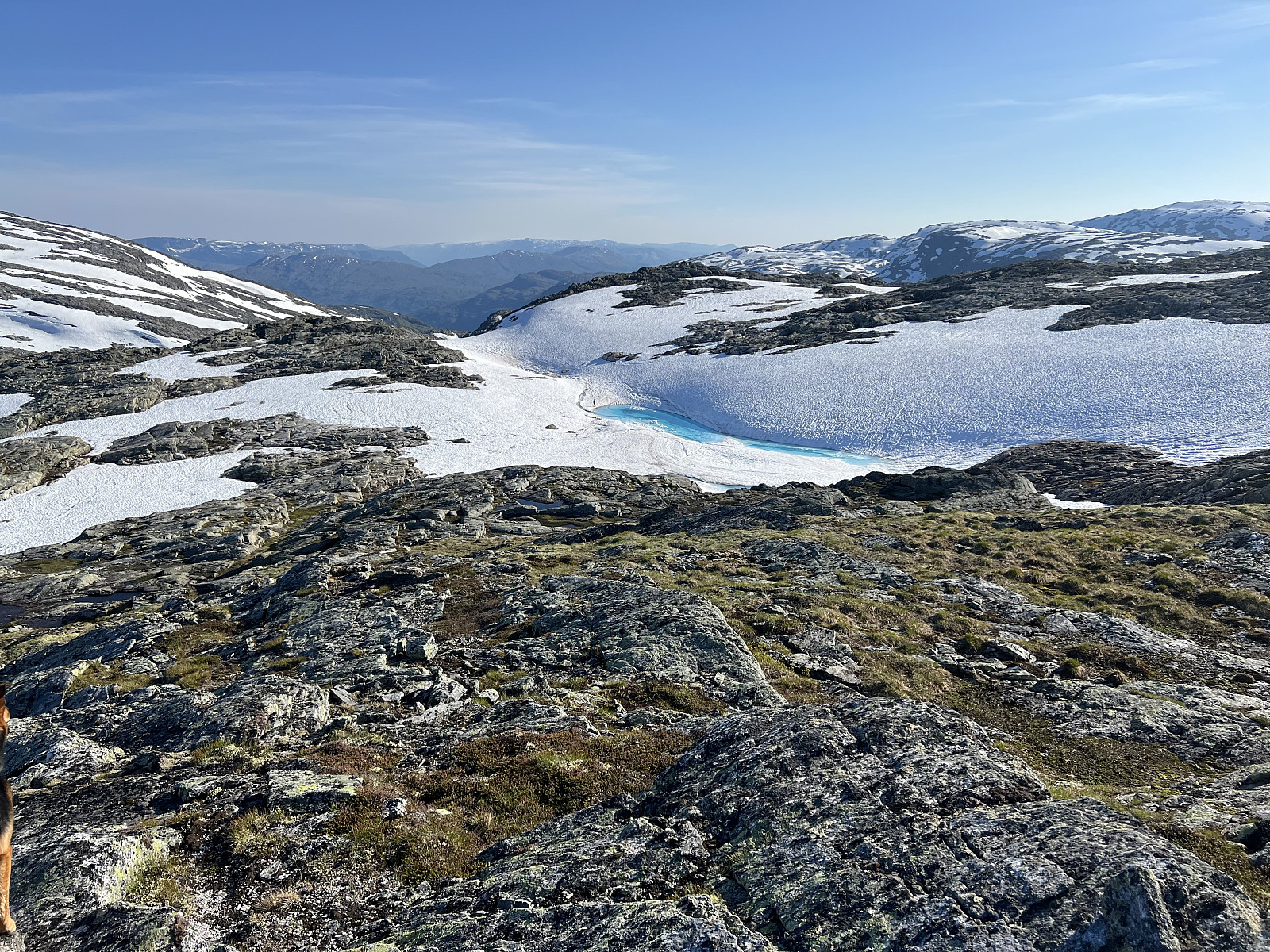
Gorgeous but hot backpacking trip up Mjølfjellet in a loop starting from Mjølfjell, walking to Kårdal and then starting the proper hike. Lost the trail a bit on the way up but found the marked cairns again near the ridge. Walking through some snow fields all the way to the peak with some amazing views.
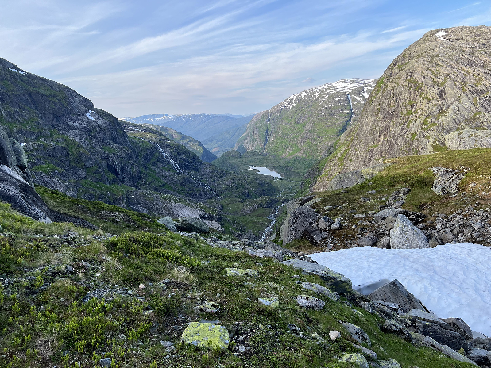
Steep hike back down to the back side on so-so marked trail (the M's and K's on the stones are very faded) but once we were back on the trail towards BT-hytten the DNT T's were very clear.
Overall, very good trip but definitely difficult and would be better on a cooler day (31C at the trailhead)


User comments