
Blyfjell and Torvedalshytta from Grøndalsvatnet (21.06.2025)

Written by hbar (Harald Barsnes)

| Start point | Grøndalsvatnet p-plass (775m) |
|---|---|
| Endpoint | Gullbrå (586m) |
| Characteristic | Hillwalk |
| Duration | 5h 31min |
| Distance | 14.8km |
| Vertical meters | 865m |
| GPS |
|
| Ascents | Blyfjell (1,237m) | 21.06.2025 11:58 |
|---|---|---|
| Visits of other PBEs | Grøndalsvatnet p-plass (775m) | 21.06.2025 10:31 |
| Torvedalshytta (812m) | 21.06.2025 14:25 |
Blyfjell and Torvedalshytta from Grøndalsvatnet
For a while I had been looking into how to get to the northeastern end of Eksingedalen via public transportations to ascend the final two peaks I had left in this area, and while doable, it seemed to require a long walk to either Evanger or Myrkdalen/Vinje at the end of the hike. When Endre suggested a joint trip to Eksingedalen I was therefore quick to say yes, and we came up with a plan covering all of the peaks we had left between us.
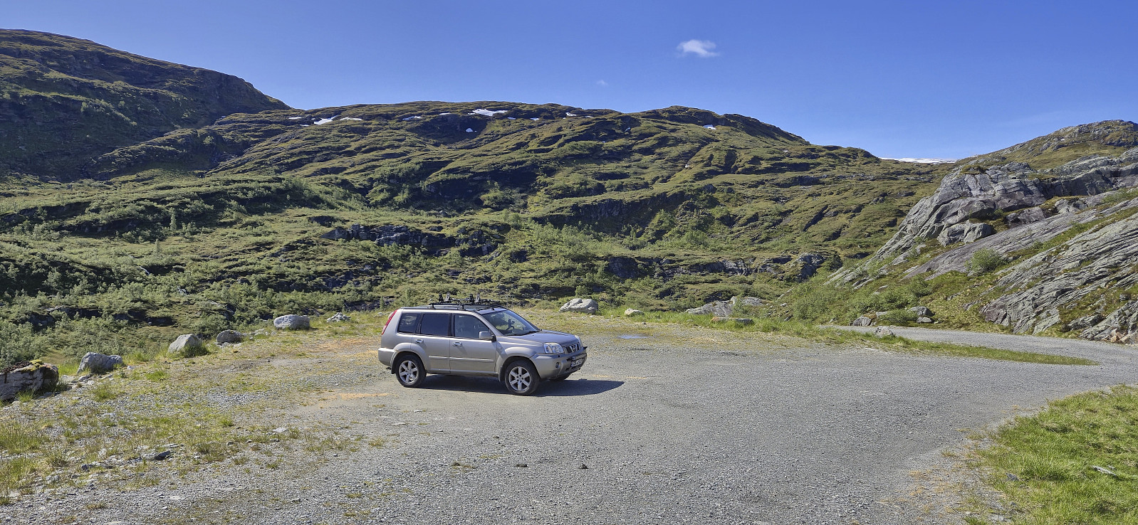
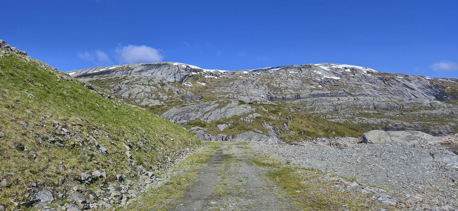
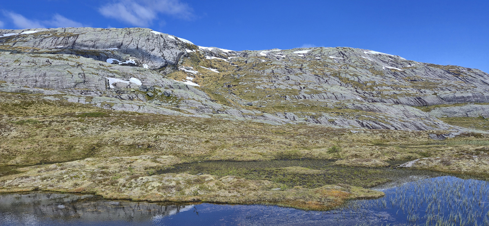
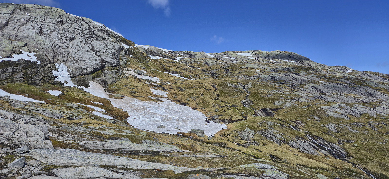
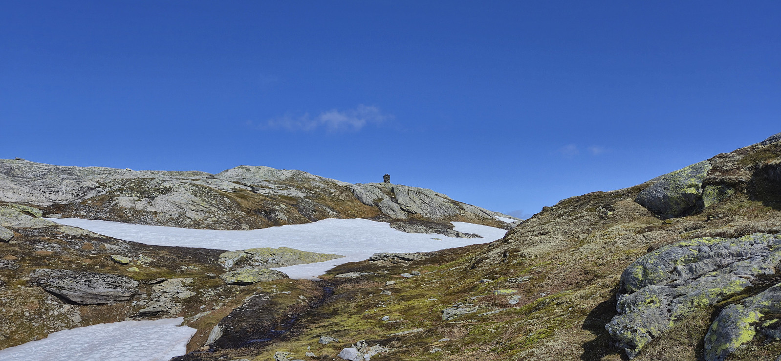
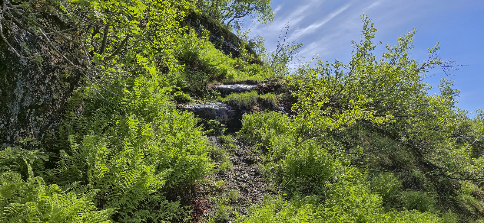
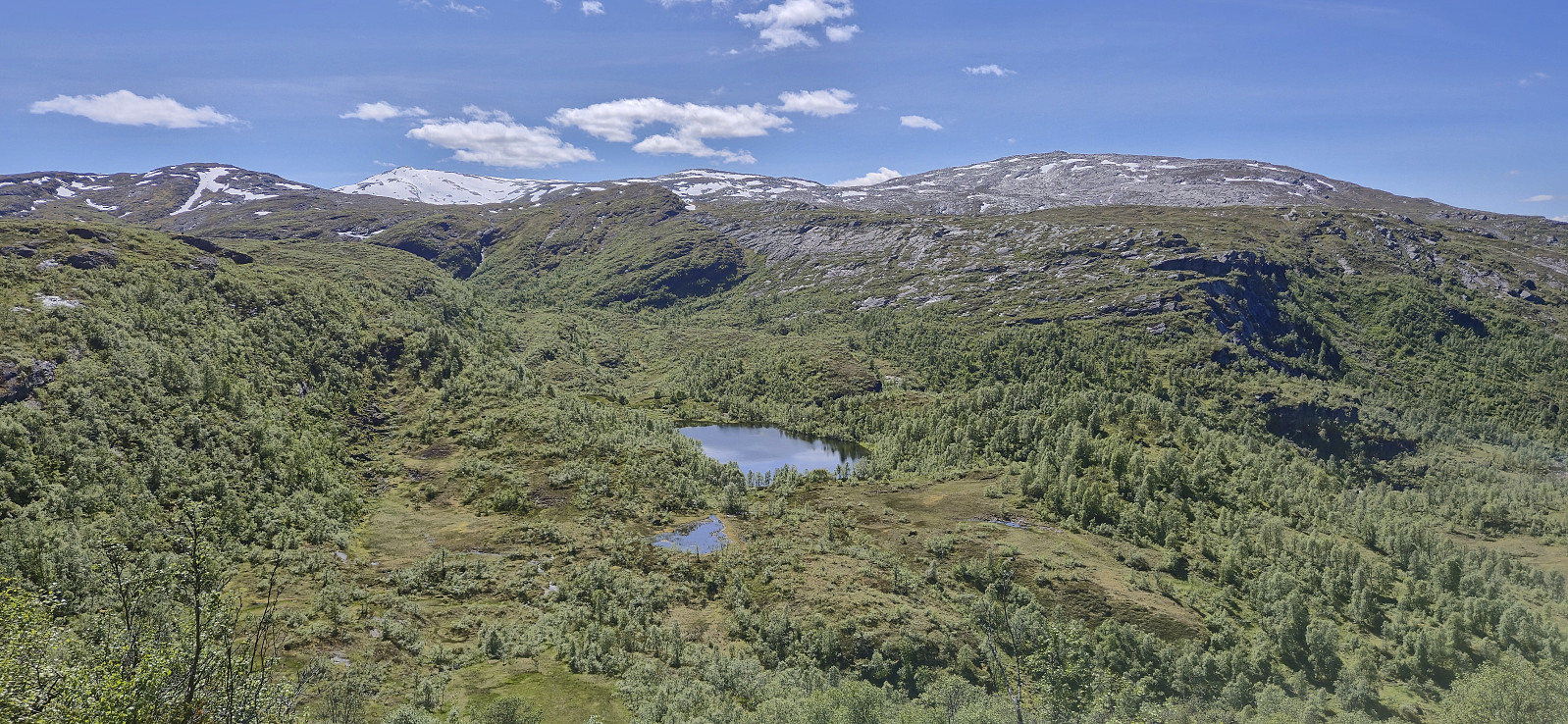
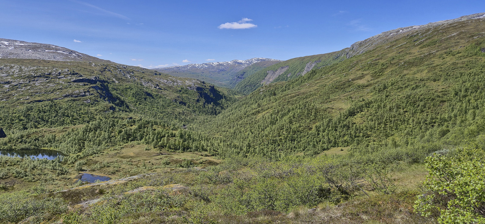
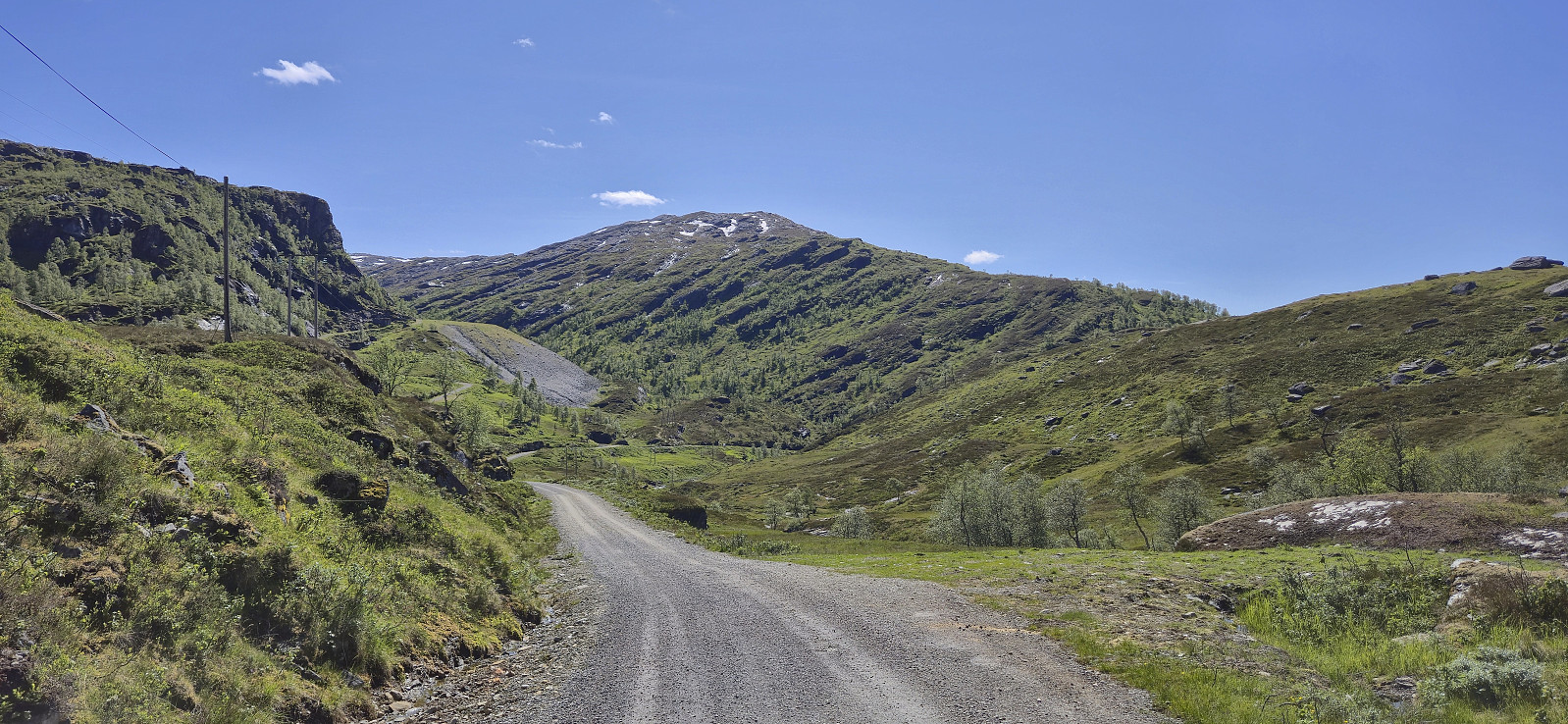
After the roughly two-hour drive from Bergen, Endre dropped me off at the parking lot south of Grøndalsvatnet before returning west for this ascents of Eggane, Blåvasshorgi, Sørvest for Hundeggi and Storhaug, while I continued northeast towards Blyfjell. The off-trail ascent was relatively easy, however my chosen route was not the best and included more ups and downs than necessary. There were also lots of sections of exposed mountainside that would probably have been more challenging during wet conditions.
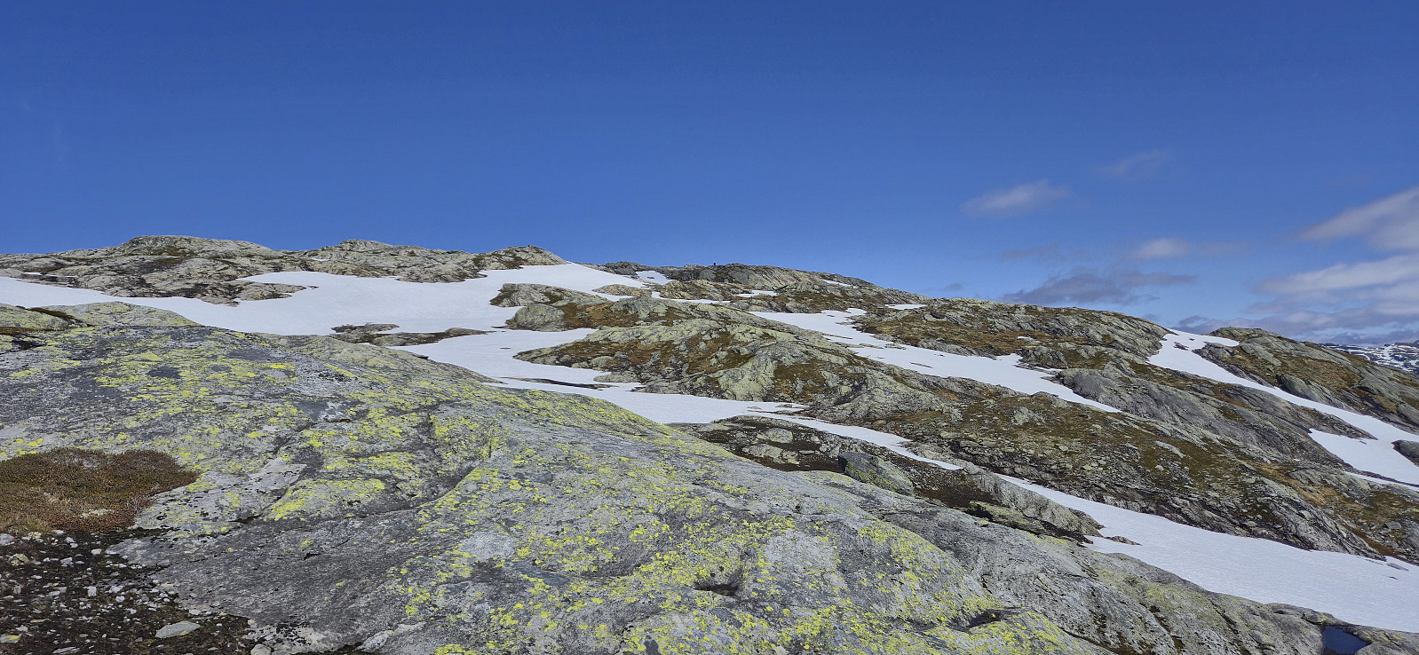
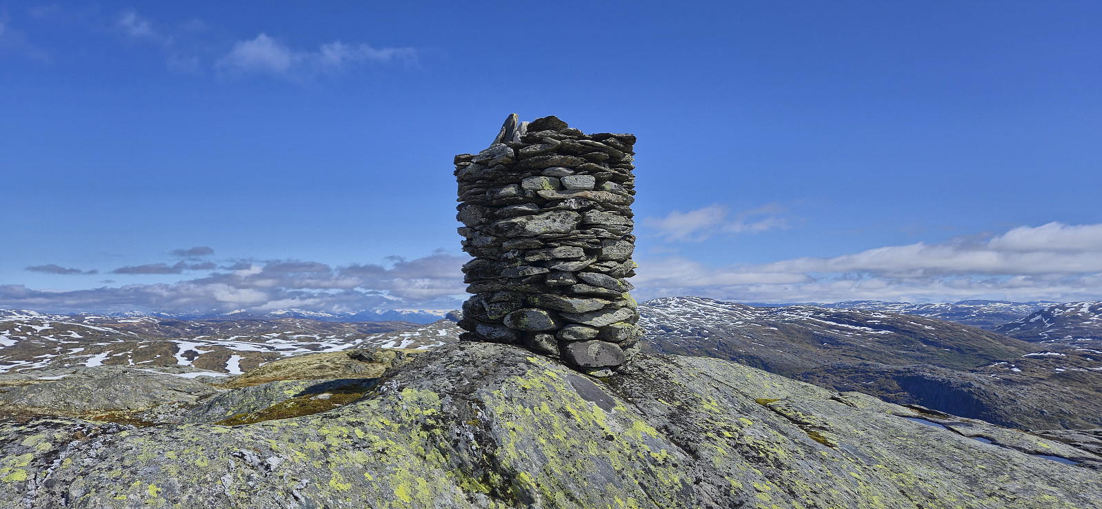
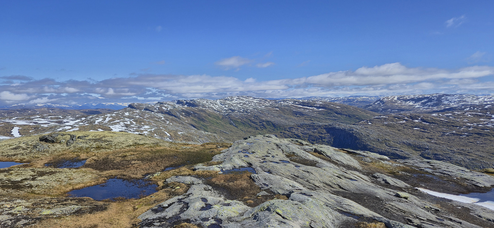
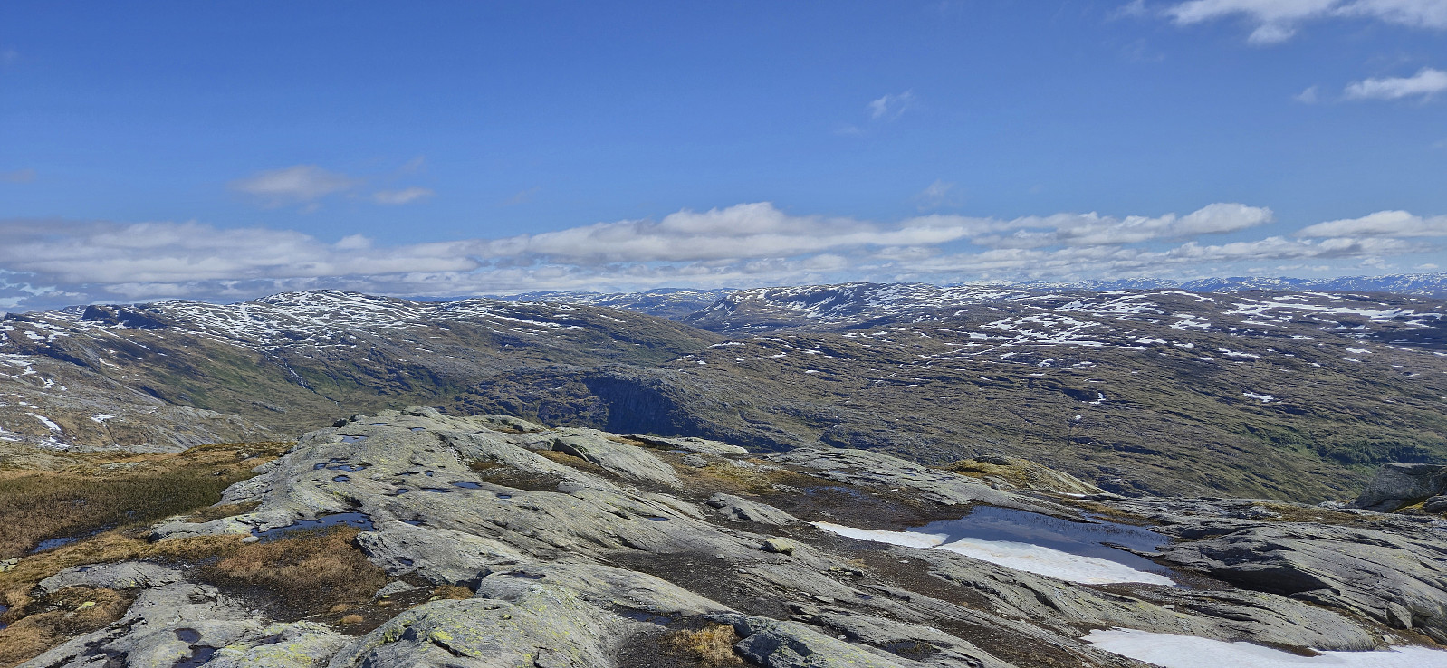
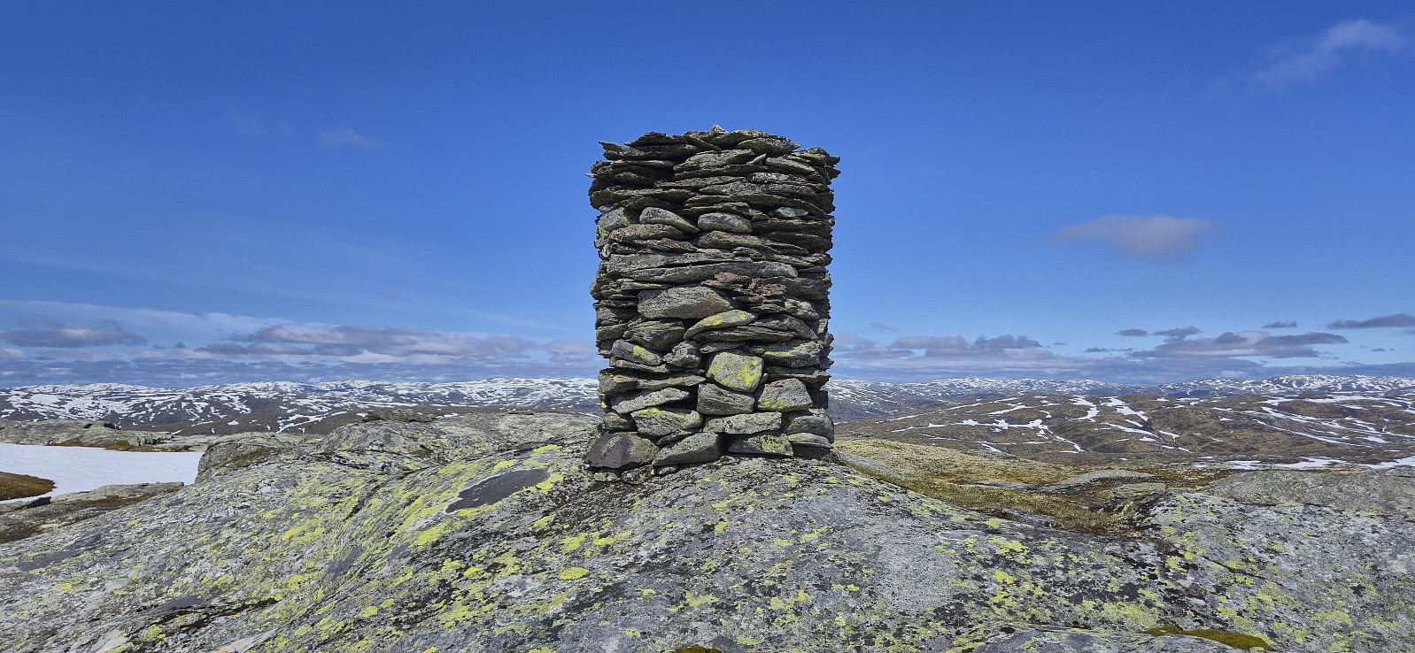
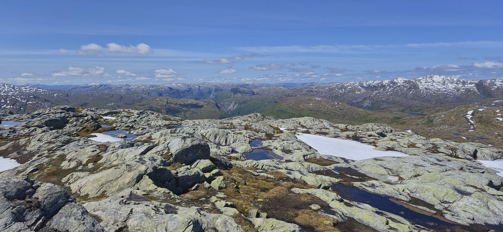
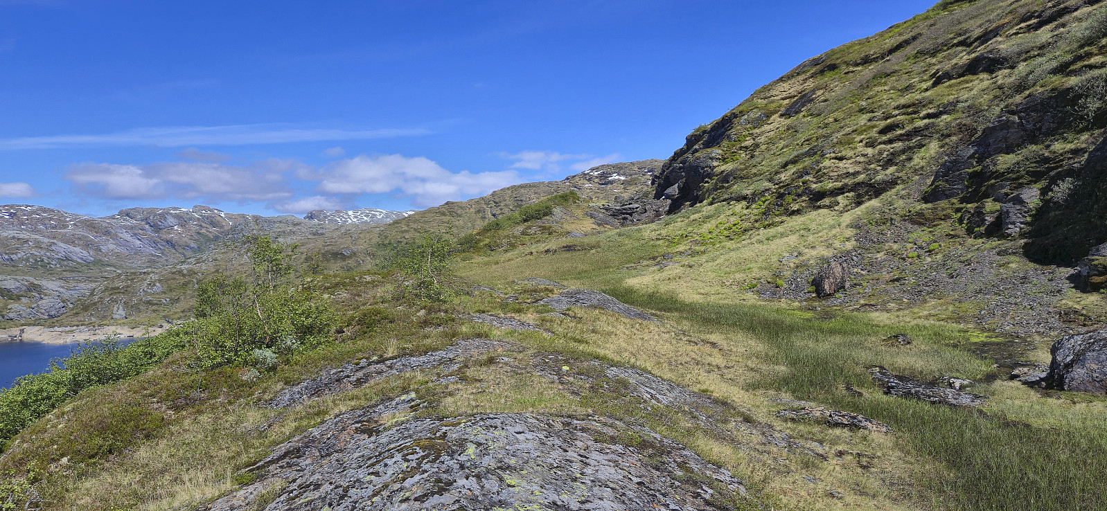
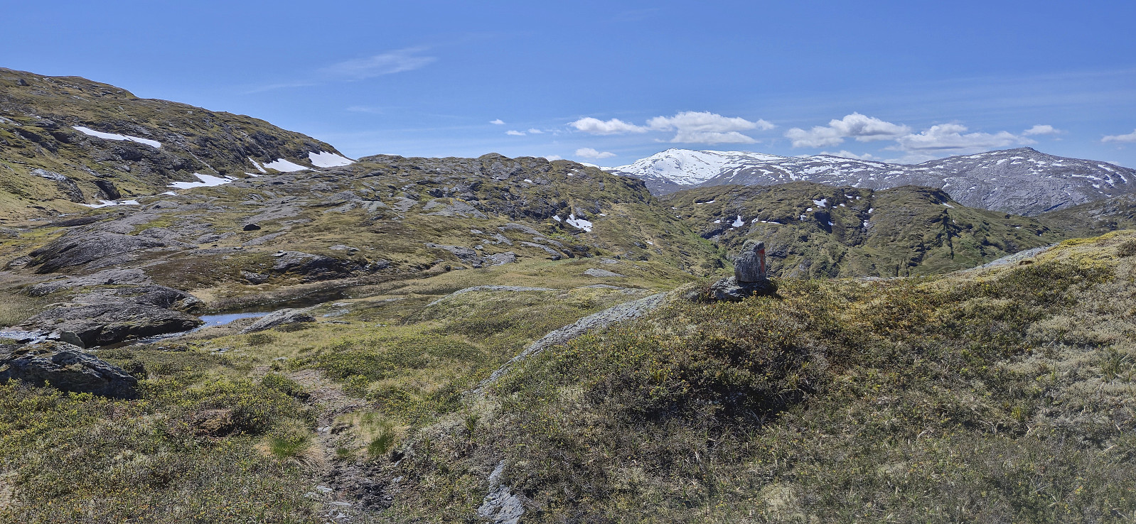
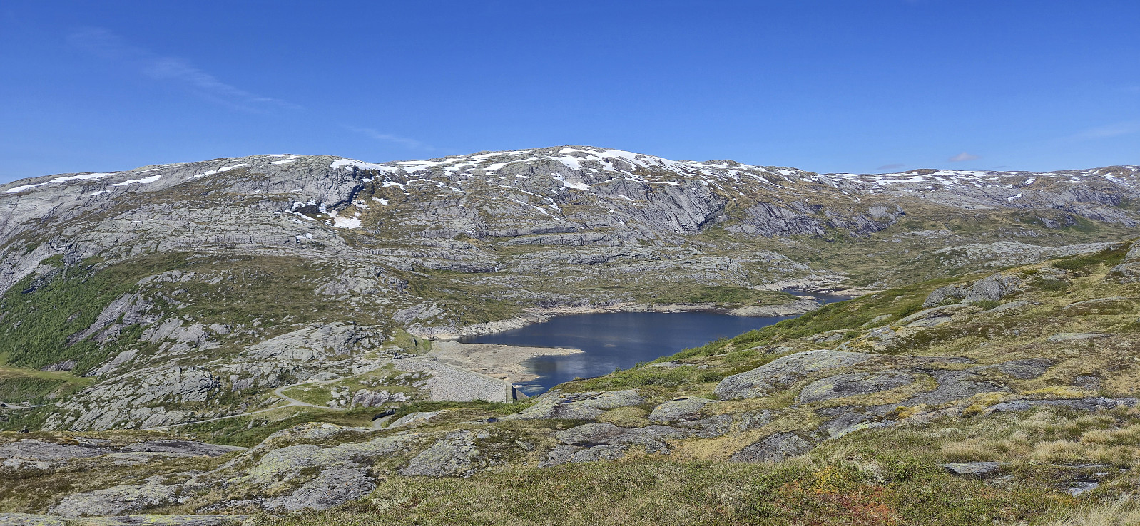
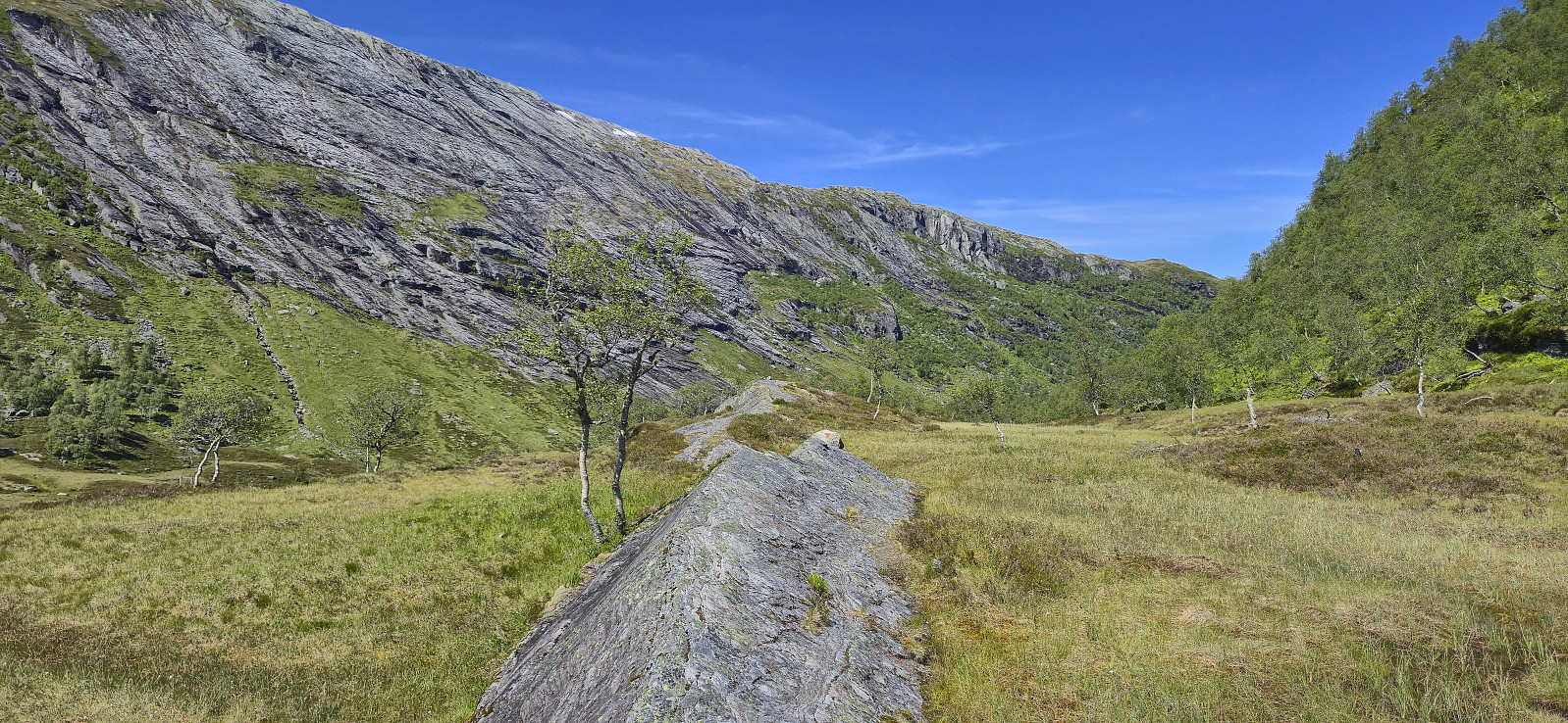
When getting closer to the summit there were longer patches of snow that had to be traversed to arrive at the large summit cairn. Here there were excellent panoramic views and I had a short stop and a minor detour to an alternative vantage point before starting my descent. Given that my ascent route had not been optimal I opted for a slightly different descent which overall turned out better, I even connected with a trail/track towards the very end.
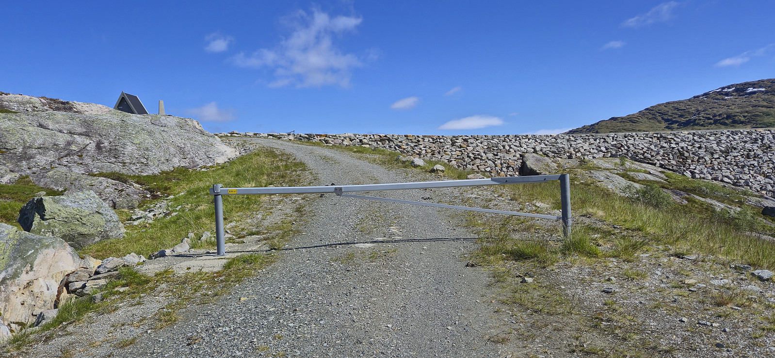
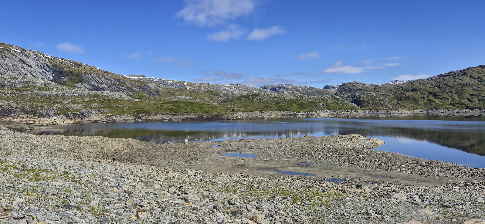
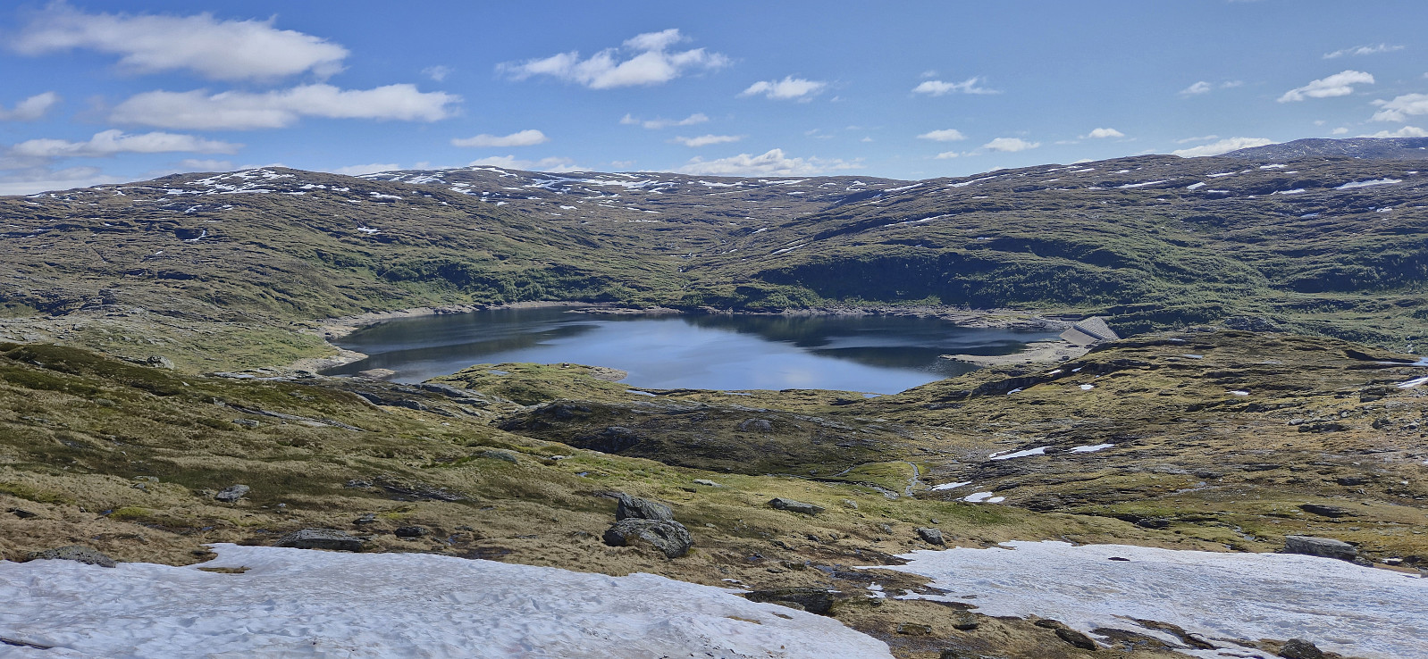
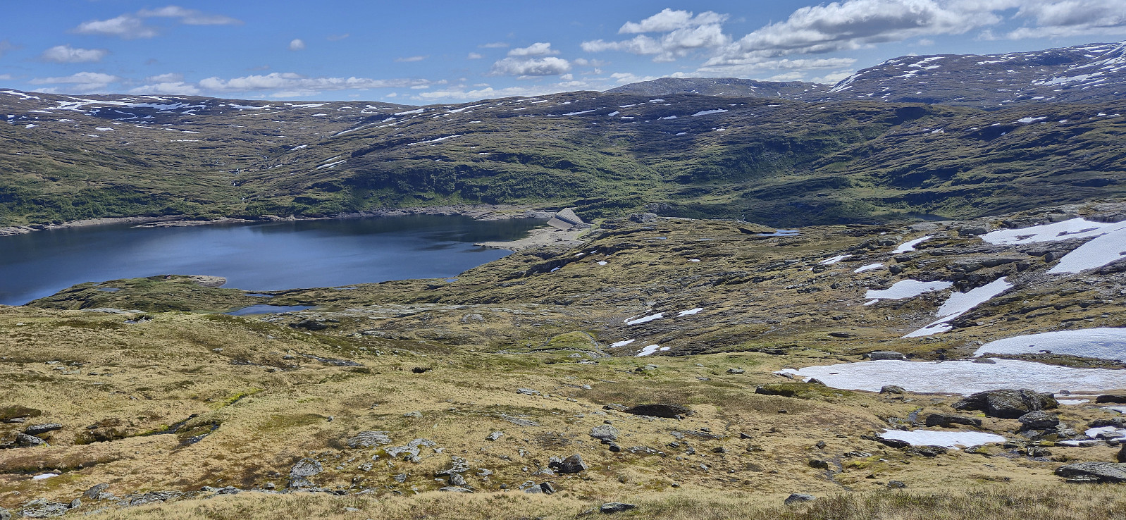
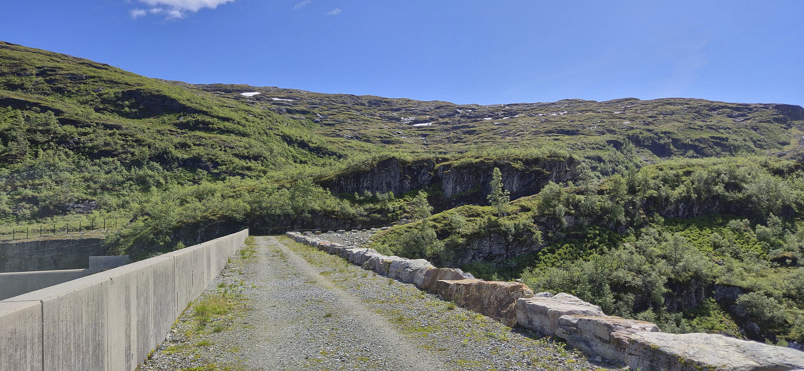
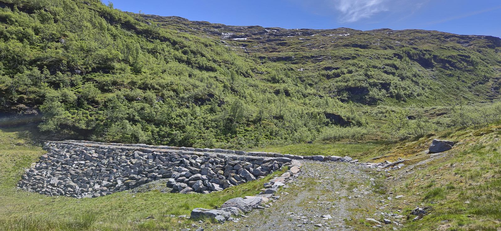
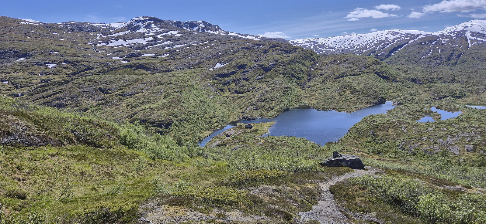
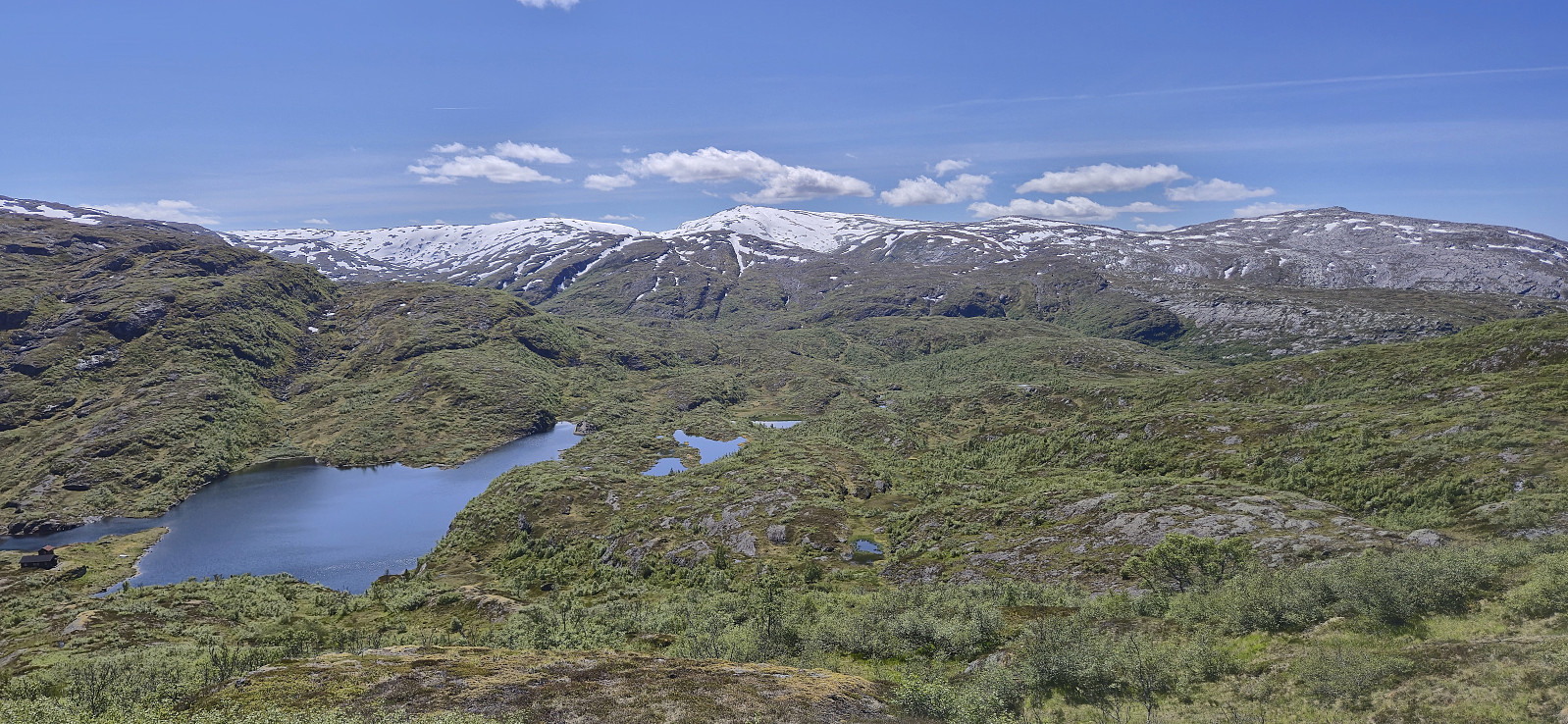
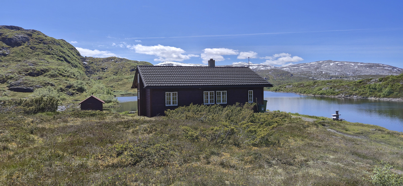
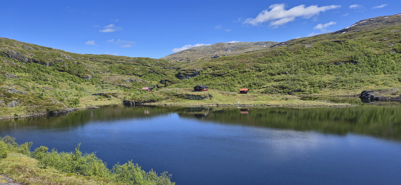
Back on the gravel road, I followed it across the dam and across a second smaller dam to the east before ascending via a weak trail/track up to Runebrekkene and from there taking a shortcut to connect with the marked trail to Torvedalshytta. After a quick lunch break outside the cabin, I continued west along the marked trail to return to the gravel road to Gullbrå. Here I met up with Endre and we drove the short distance west to Ekse for a joint ascent of Loneggi.
In summary, the summit of Blyfjell can be easily reached from Grøndalsvatnet and including Torvedalshytta as part of the hike allows for various interesting roundtrip options.

| Start date | 21.06.2025 10:31 (UTC+01:00 DST) |
| End date | 21.06.2025 16:02 (UTC+01:00 DST) |
| Total Time | 5h 31min |
| Moving Time | 4h 45min |
| Stopped Time | 0h 46min |
| Overall Average | 2.7km/h |
| Moving Average | 3.1km/h |
| Distance | 14.8km |
| Vertical meters | 864m |


User comments