
Samlen from Herand (04.05.2025)

Written by hbar (Harald Barsnes)

| Start point | Herand båtkai (2m) |
|---|---|
| Endpoint | Herand båtkai (2m) |
| Characteristic | Hillwalk |
| Duration | 6h 36min |
| Distance | 15.5km |
| Vertical meters | 1,077m |
| GPS |
|
| Ascents | Samlen (686m) | 04.05.2025 11:54 |
|---|---|---|
| Visits of other PBEs | Samlen p-lomme (242m) | 04.05.2025 10:33 |
| Hardangertrappa p-plass (195m) | 04.05.2025 13:43 |
Samlen from Herand
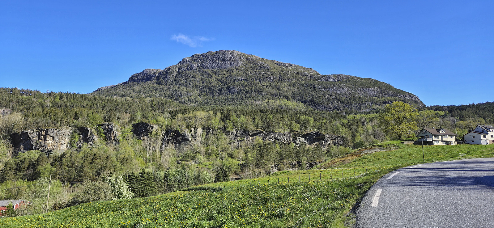
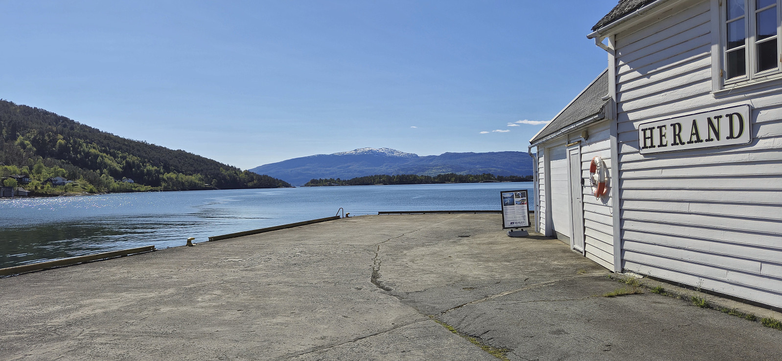
Started by taking an early bus from Bergen to Norheimsund to catch the express boat at 09:00. While the boat continued all the way to Eidfjord, I got off at the first stop and was finally ready to begin my ascent of Samlen from Herand shortly before 09:30.
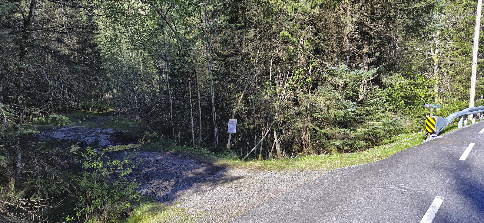
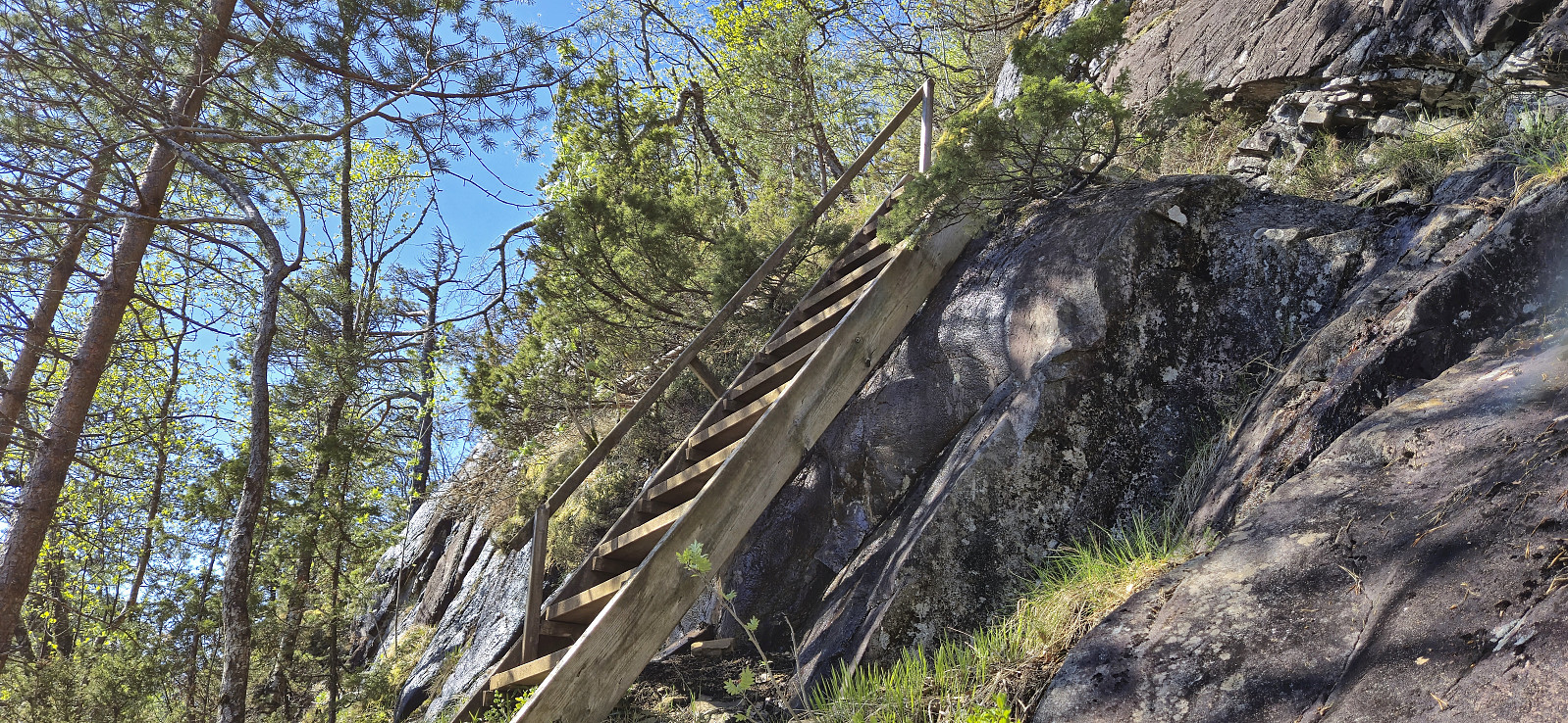
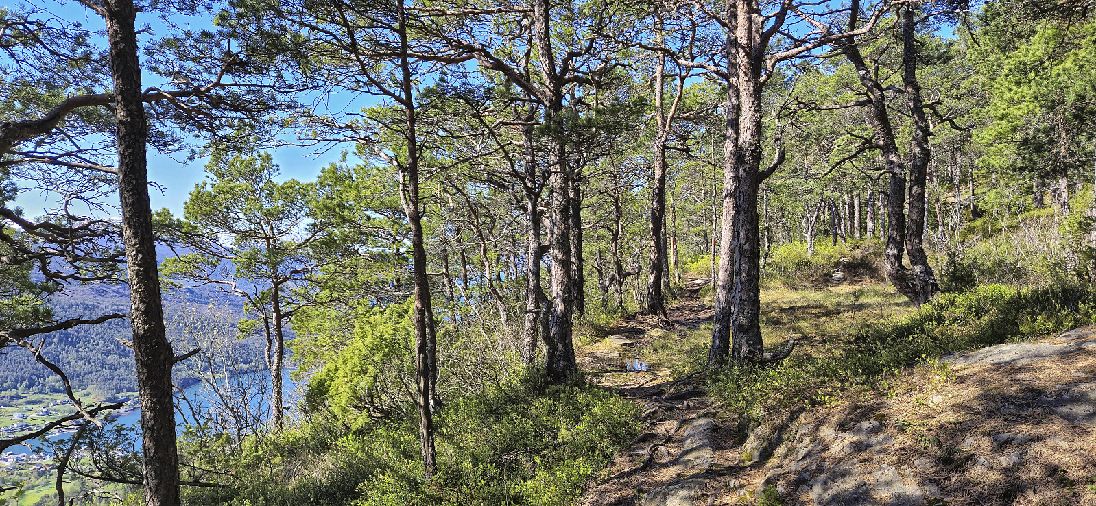
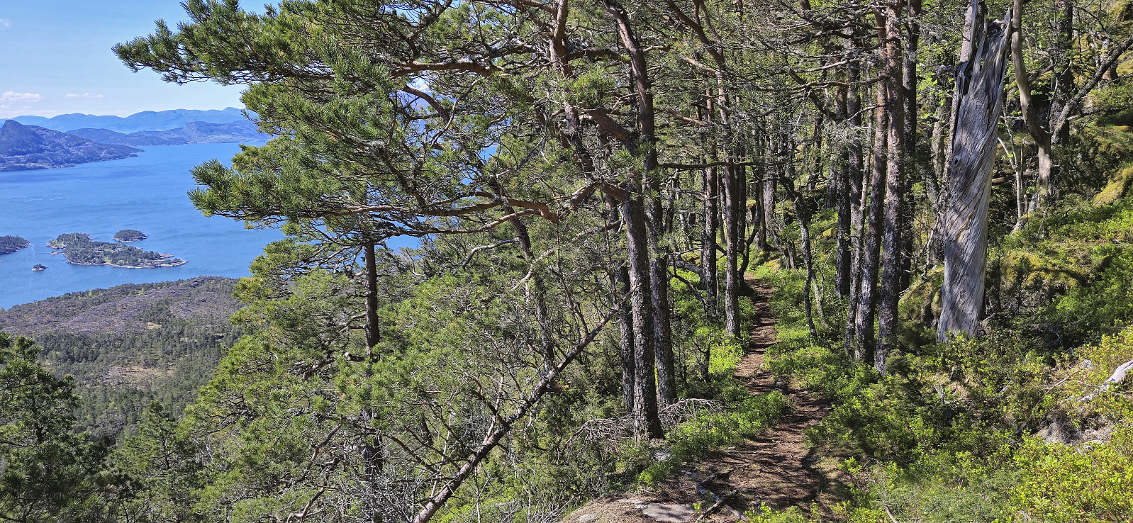
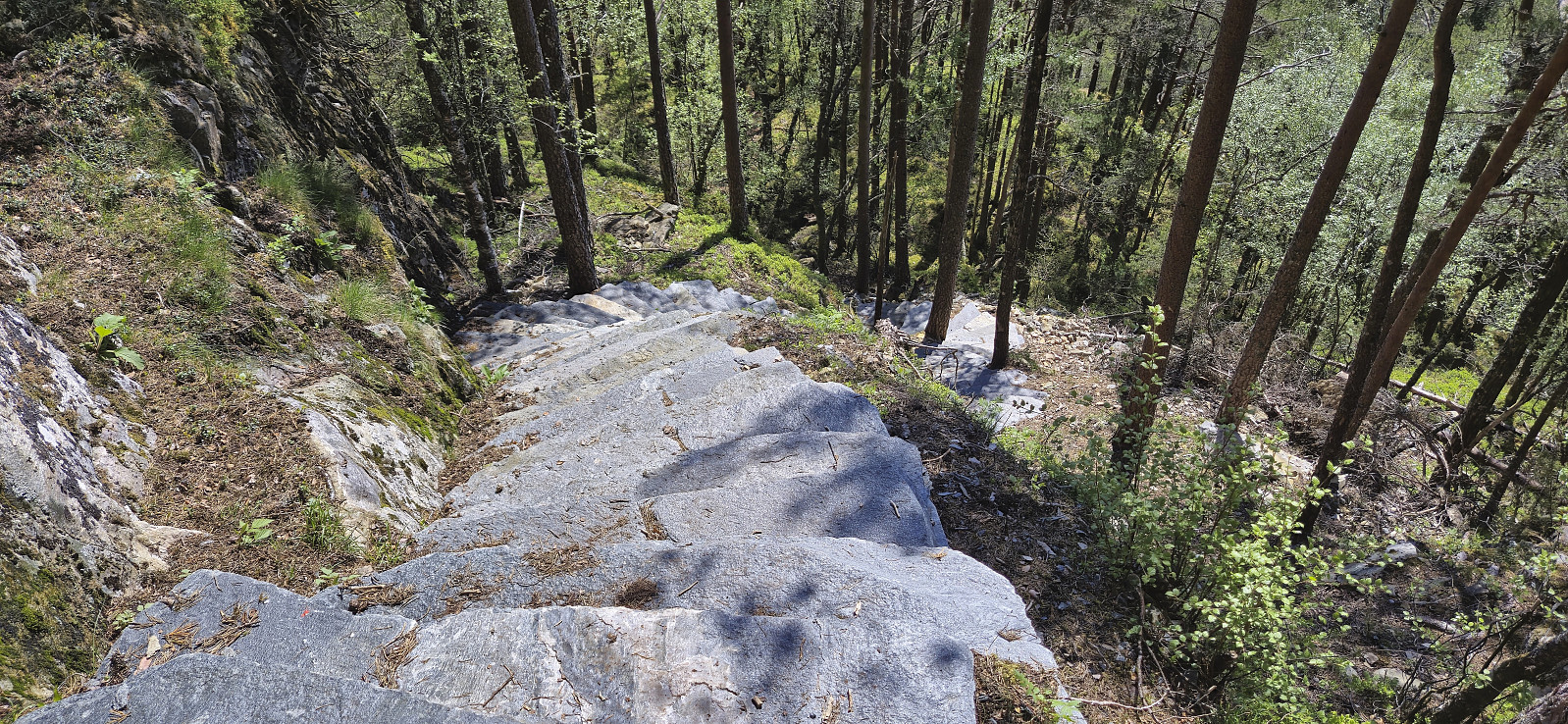
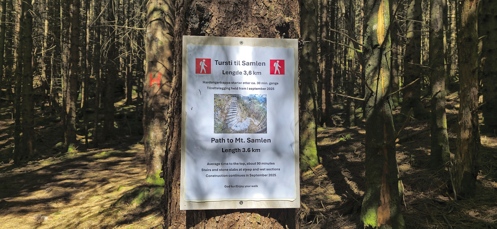
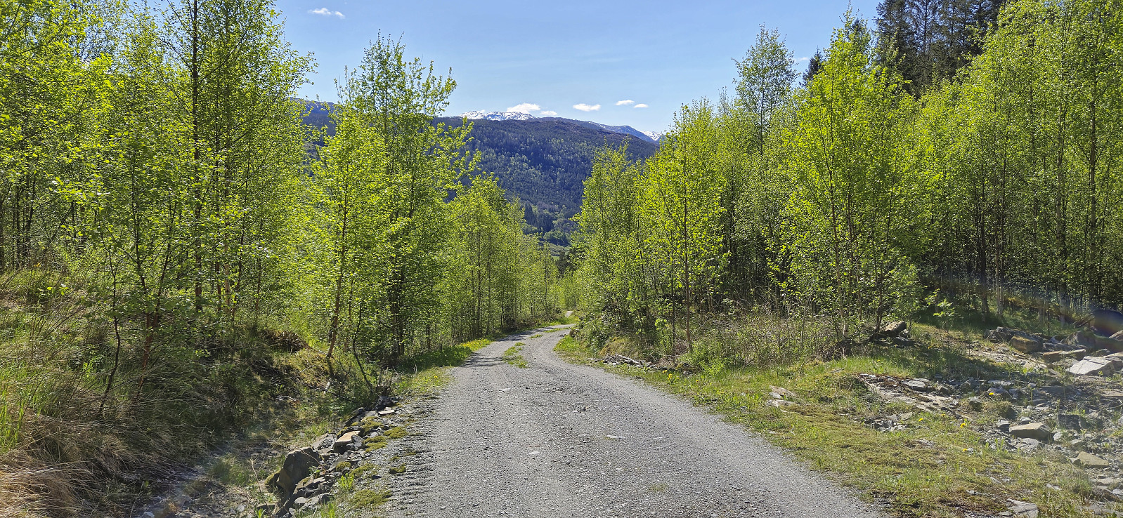
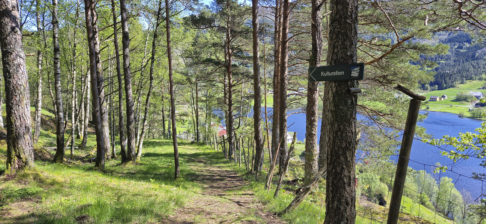
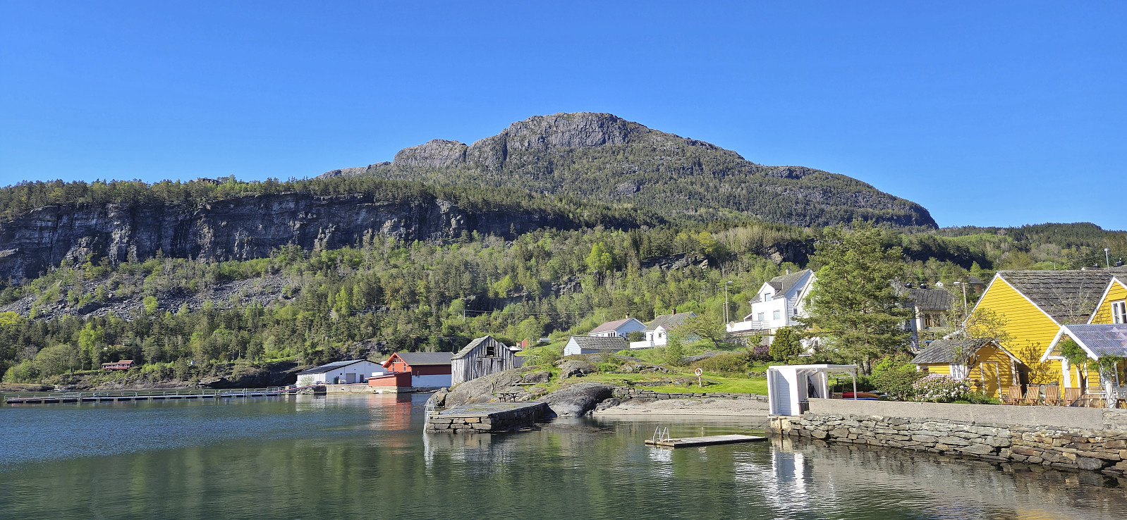
To get to the trailhead east of the summit, I followed the paved road northeastward for roughly an hour. At the trailhead I was welcomed by a message that the trail to Samlen had gotten a new starting point in relation to Hardangertrappa (a new route including stone steps that is in the process of being completed). Hoping that the sign did not indicate that the older trail was no longer usable, I continued my ascent, and while the trail was a bit steep and rough at times, it was overall straightforward to follow.
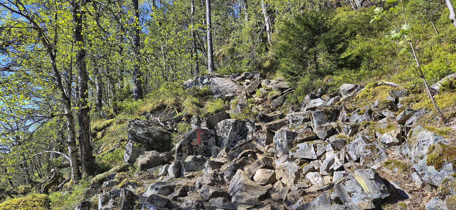
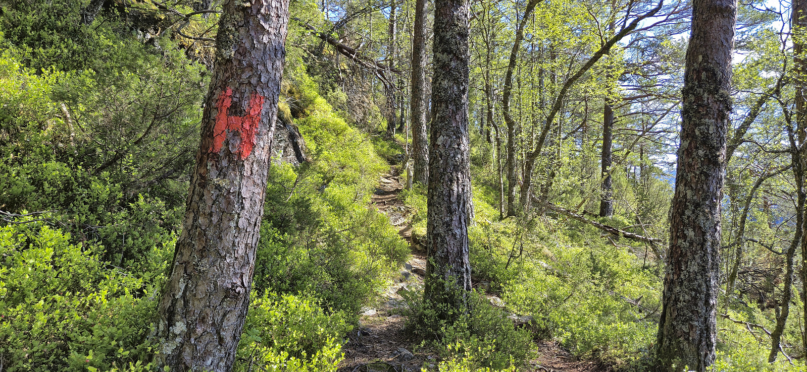
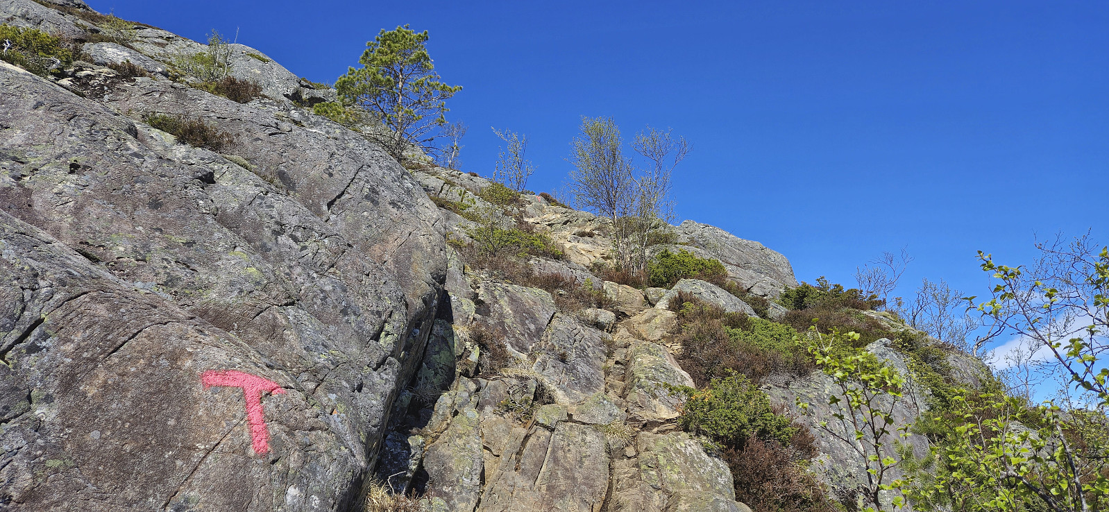
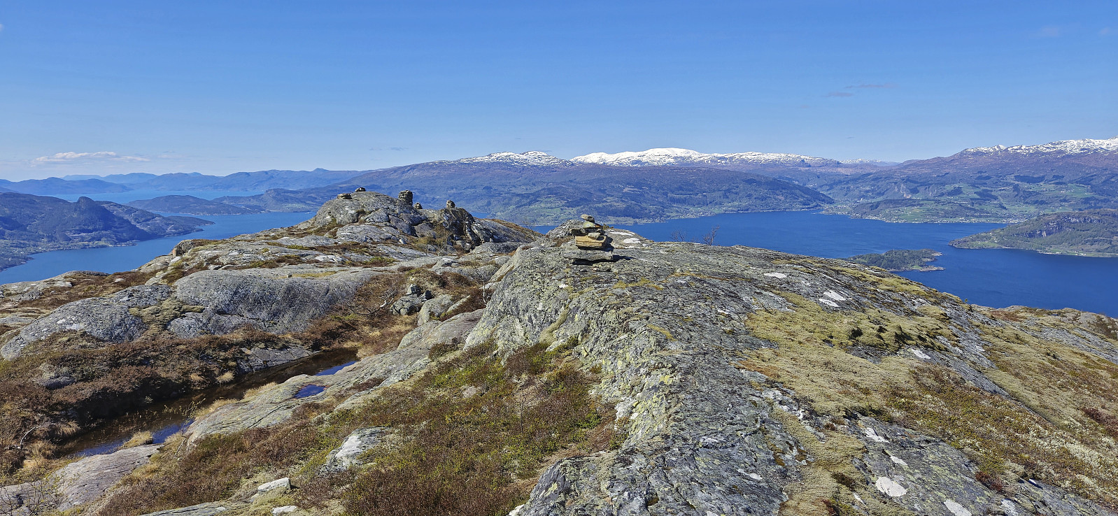
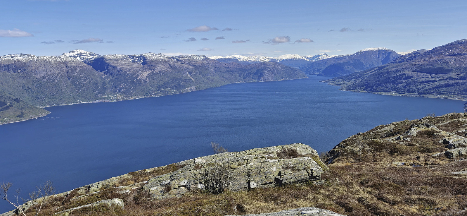
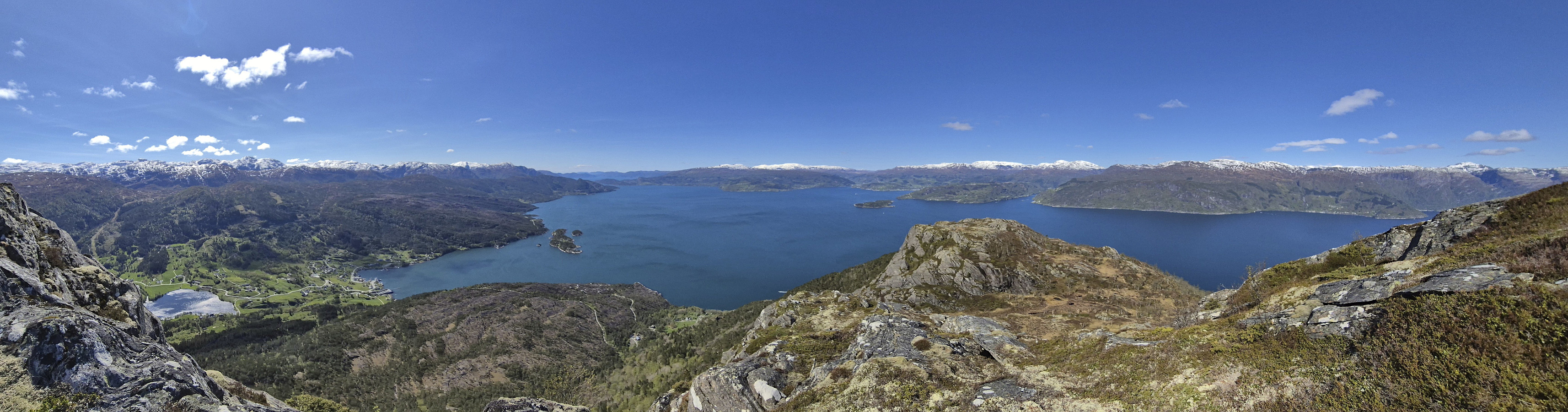
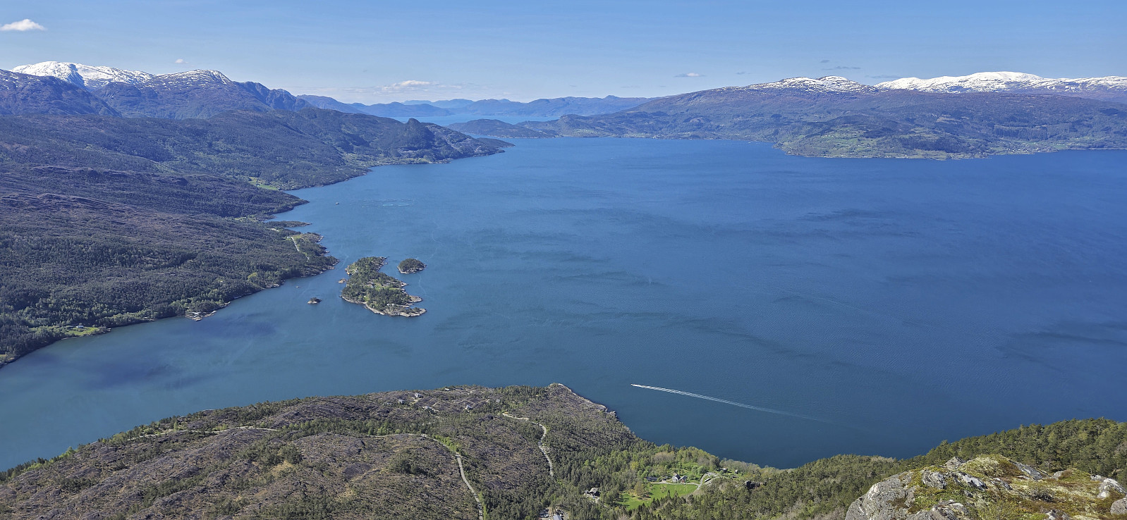
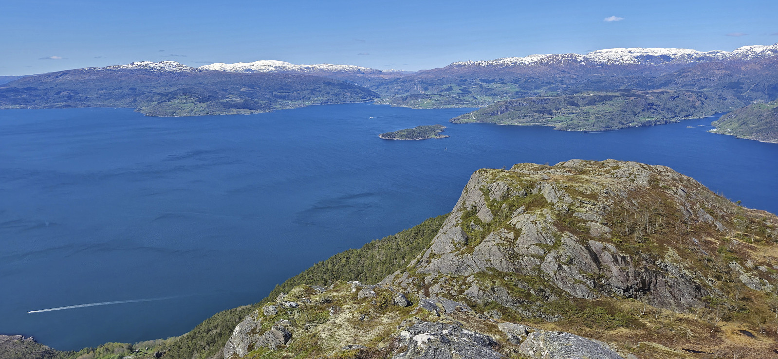
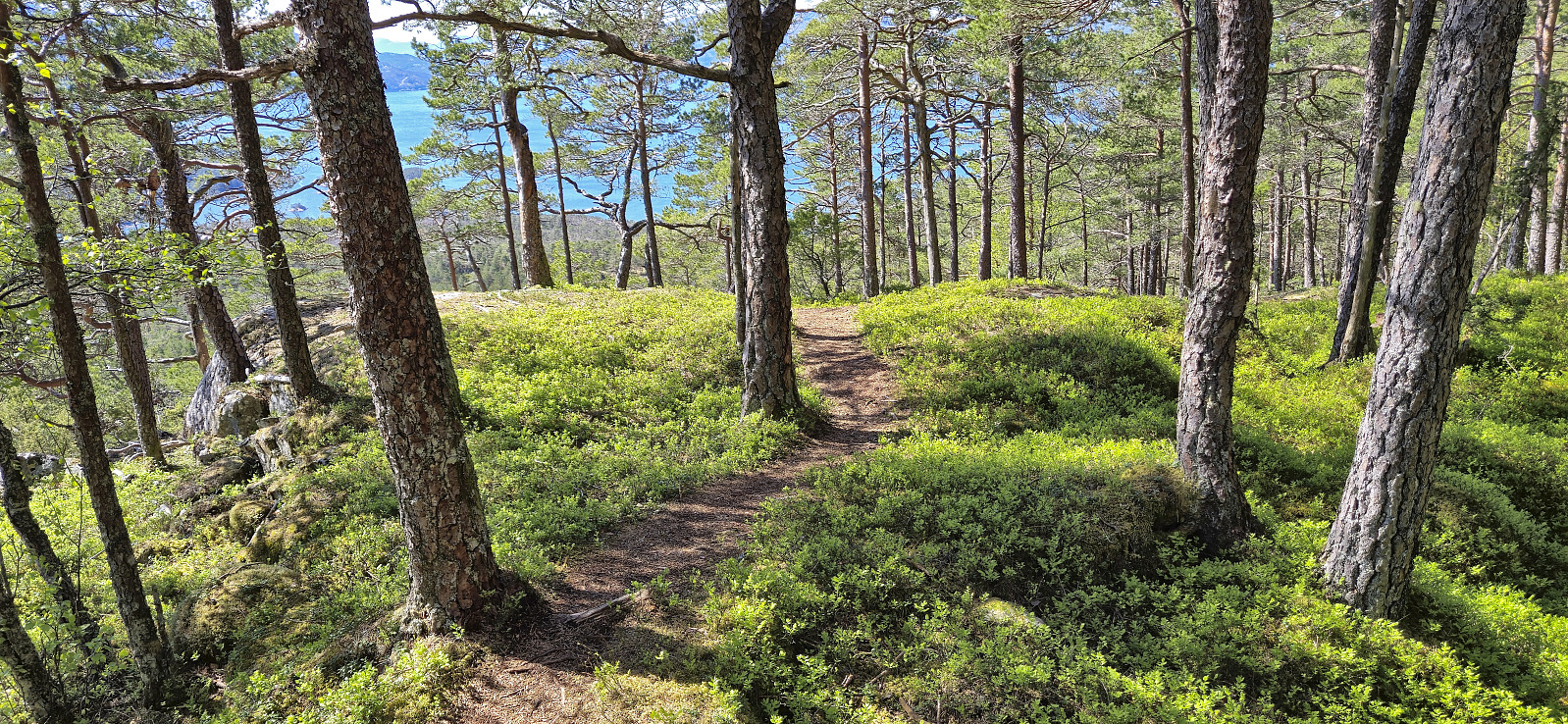
In any case, it did not take very long before the two trails connected, one marked with red T's and one with red H's, and while they did not always agree on the route (seemed like the new H-route is trying to avoid some of the wetter areas), they easily led me all the way to the summit. Or rather close to the summit, as the highest point was on a small hill just northeast of where the trail ends.
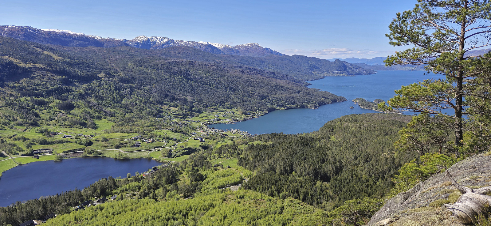
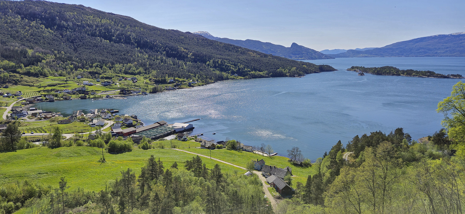
From the summit I continued west for even better views before turning back and finding a place to have my lunch break sheltered from the strong wind. Next, I descended along the same route to where the two trails split and then followed the H-route via Hardangertrappa to the gravel road south of the summit.
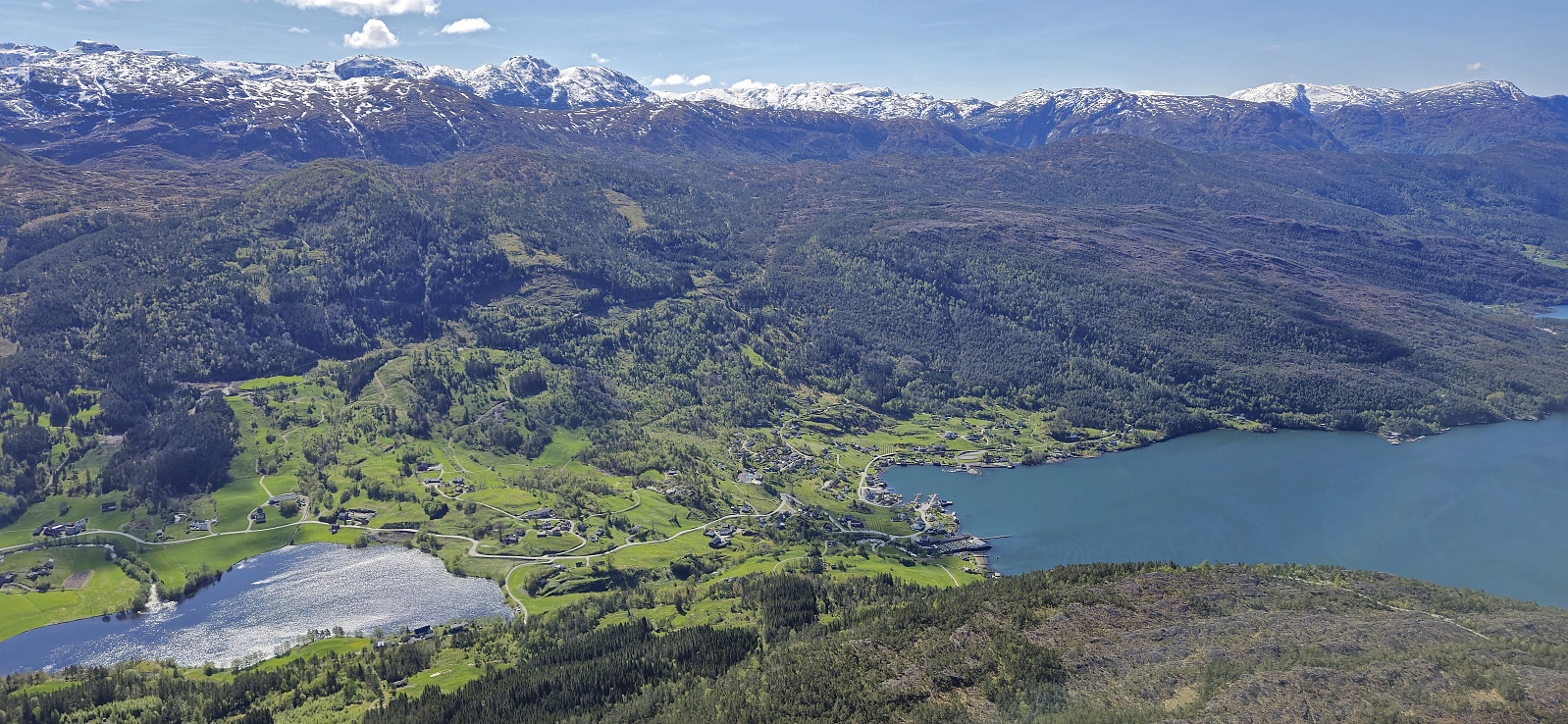
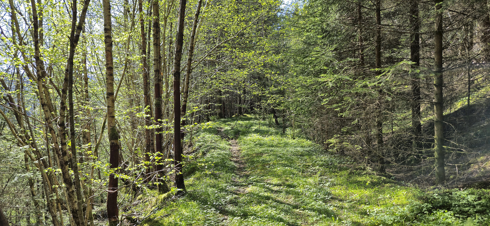
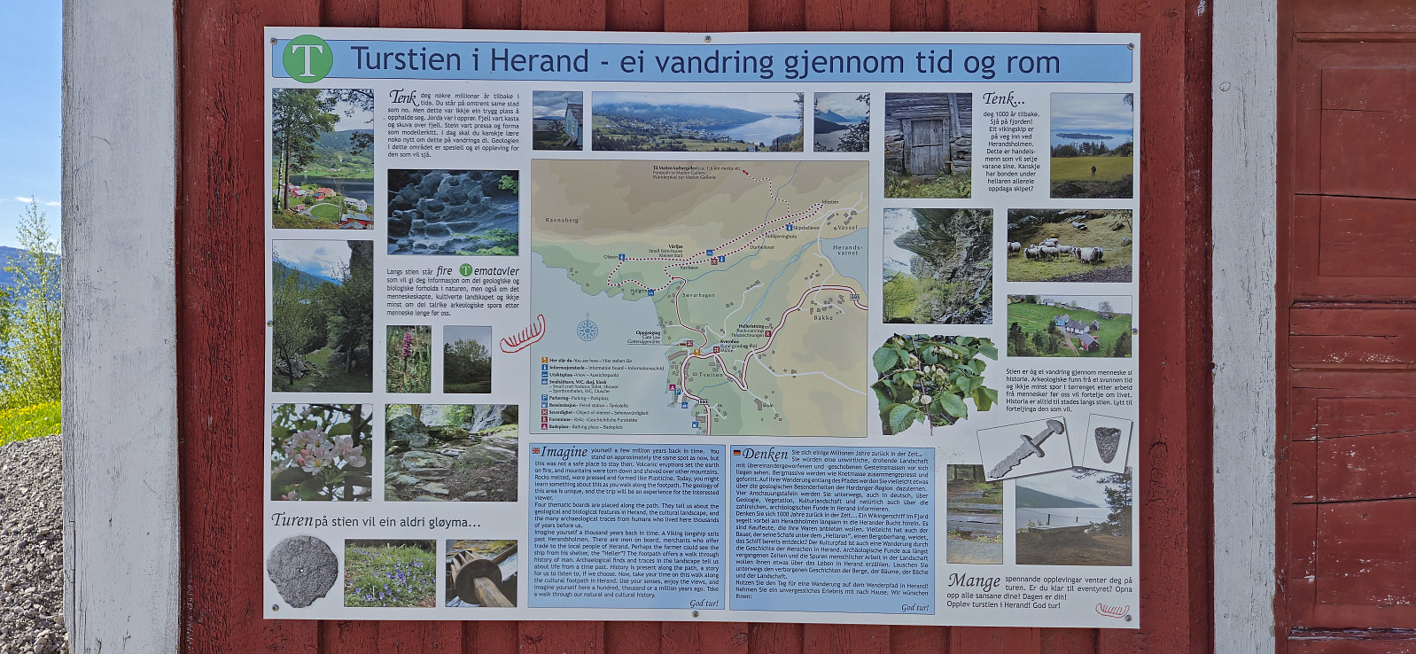
I still had plenty of time to kill and therefore decided to have a look at the culture trail in Herand. To avoid a long detour via the paved road, I had a go at a shortcut. First, along a gravel road south from the parking lot for Hardangertrappa and then via an old tractor road, managing to get to the marked cultural trail without any issues.
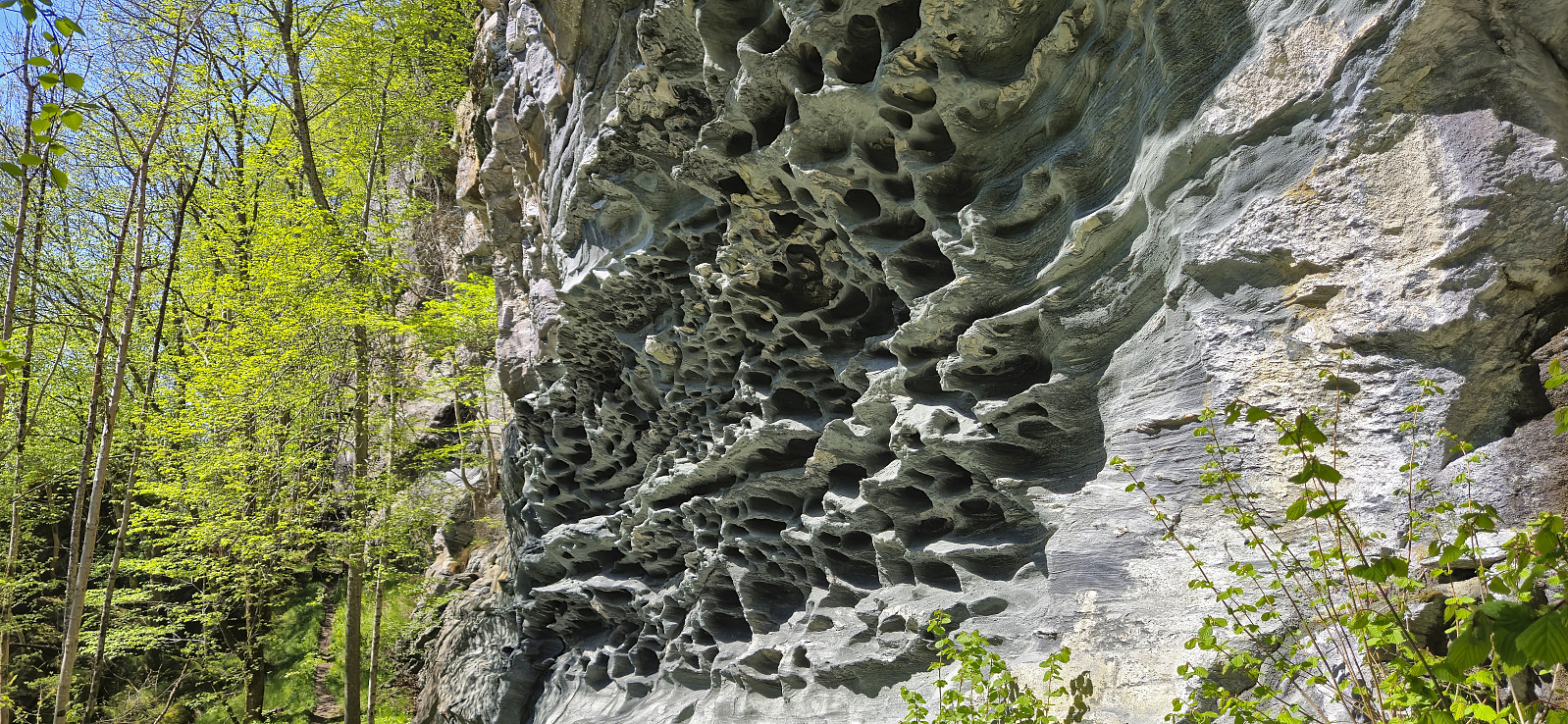
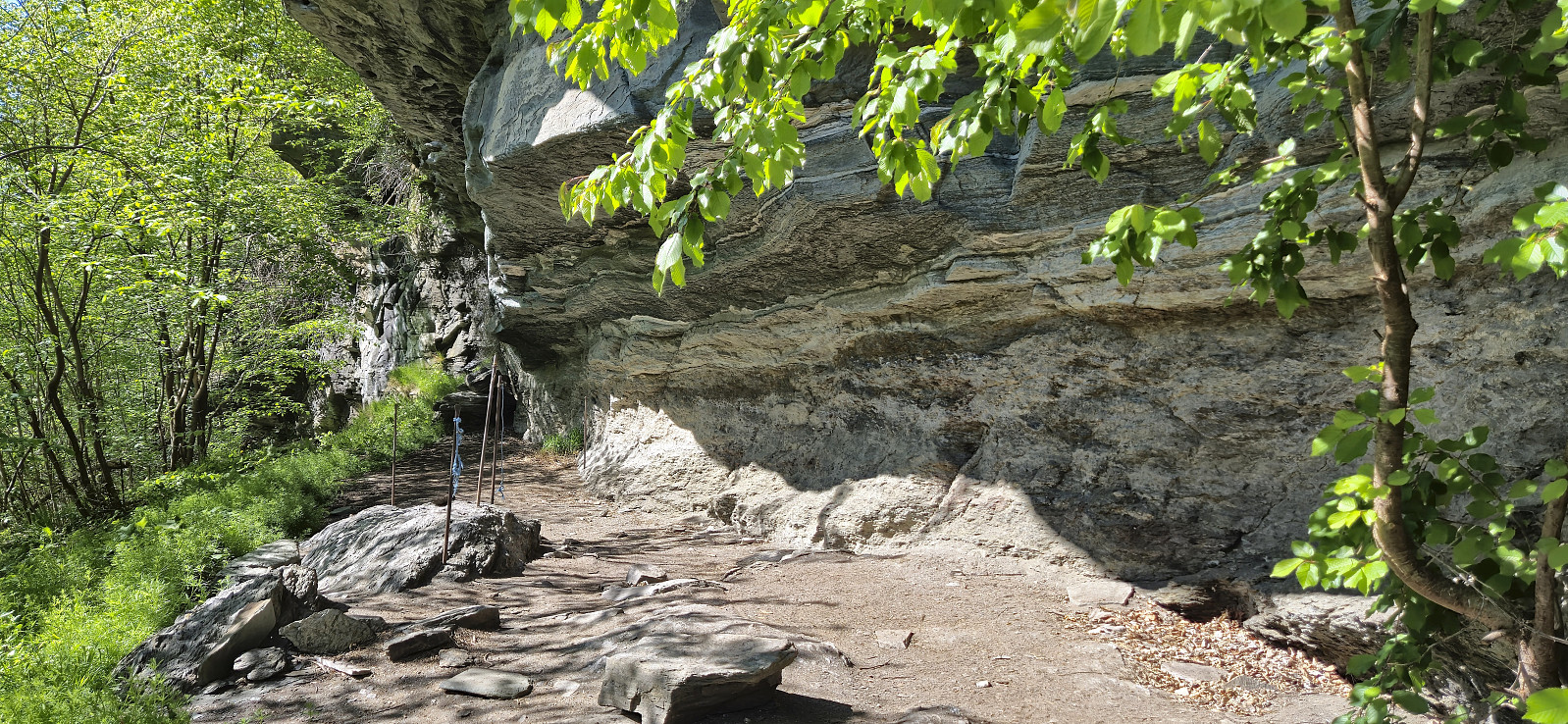
The culture trail provided interesting sights, including unusual rock formations and traces of human settlements from 7000 BC. For logistical reasons, I did the trail 1.5 times before heading south to wait for the boat. I still ended up with over 1.5 hours at the docks though, but this was not too bad given the excellent weather. After another short boat ride, and an hour of waiting for the bus at Norheimsund, I was on my way back to Bergen.
To conclude, Samlen provides excellent views and is very much worth a visit. By using both trailheads it is also easy to make the hike into a sort of roundtrip. And if you have the time, a short walk through the culture trail can also be recommended.
| Start date | 04.05.2025 09:28 (UTC+01:00 DST) |
| End date | 04.05.2025 16:05 (UTC+01:00 DST) |
| Total Time | 6h 36min |
| Moving Time | 5h 18min |
| Stopped Time | 1h 18min |
| Overall Average | 2.3km/h |
| Moving Average | 2.9km/h |
| Distance | 15.5km |
| Vertical meters | 1,077m |


User comments