
Bergsdalen to Evanger via Hamlagrøhornet (06.07.2024)

Written by hbar (Harald Barsnes)

| Start point | Bergsdalsvegen v/Holeberg (565m) |
|---|---|
| Endpoint | Evanger stasjon (17m) |
| Characteristic | Hillwalk |
| Duration | 5h 24min |
| Distance | 18.4km |
| Vertical meters | 768m |
| GPS |
|
| Ascents | Hamlagrøhornet (1,083m) | 06.07.2024 11:32 |
|---|---|---|
| Løva (1,034m) | 06.07.2024 12:11 | |
| Visits of other PBEs | Alexander Grieghytten (617m) | 06.07.2024 10:09 |
| Vossedalstølen (606m) | 06.07.2024 14:31 | |
| Evanger stasjon (17m) | 06.07.2024 15:34 |
Bergsdalen to Evanger via Hamlagrøhornet
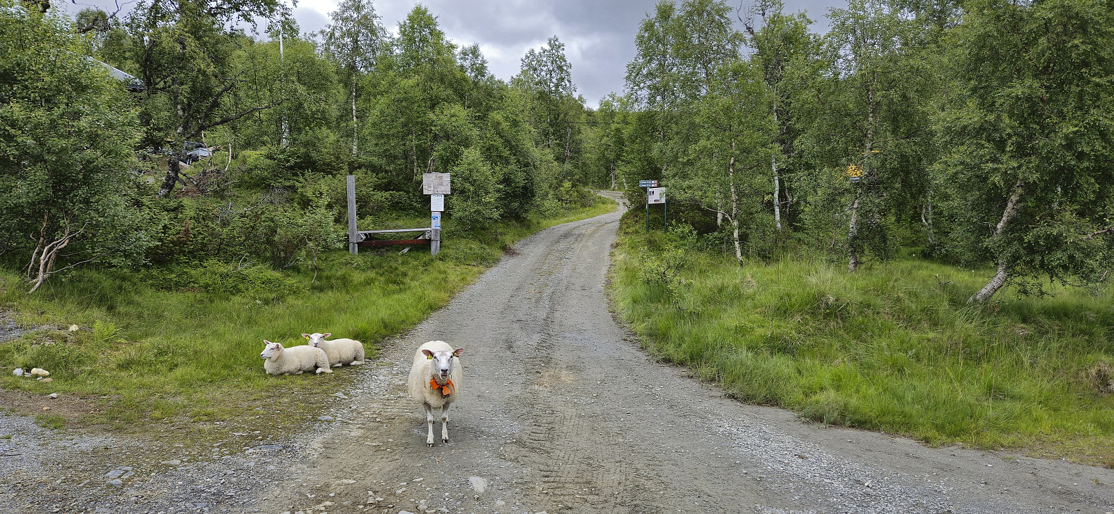
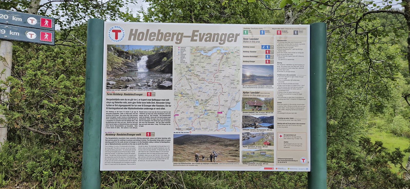
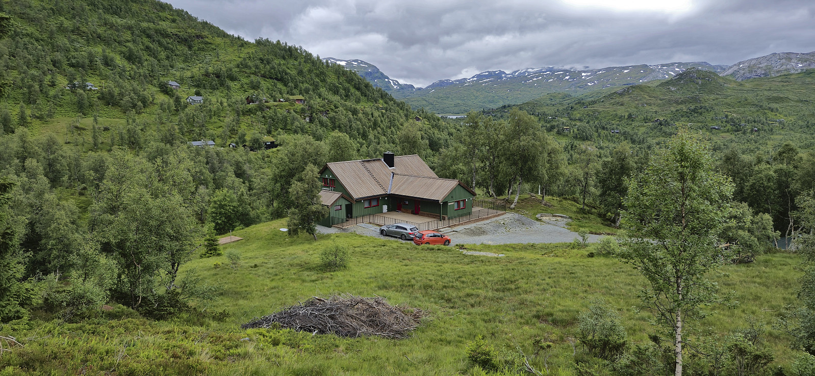
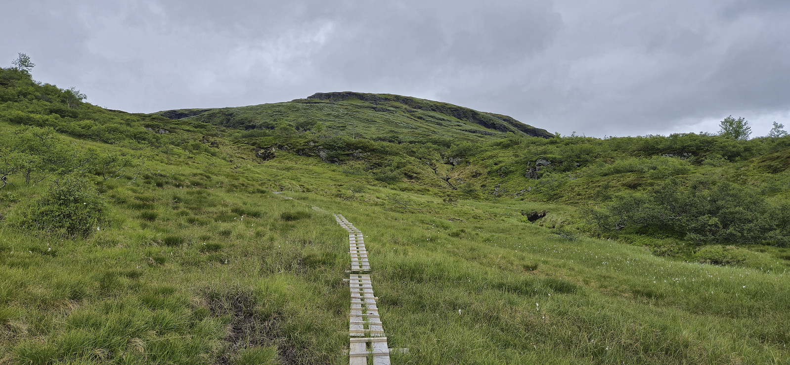
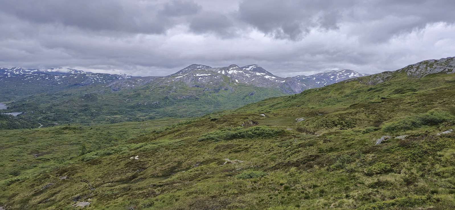
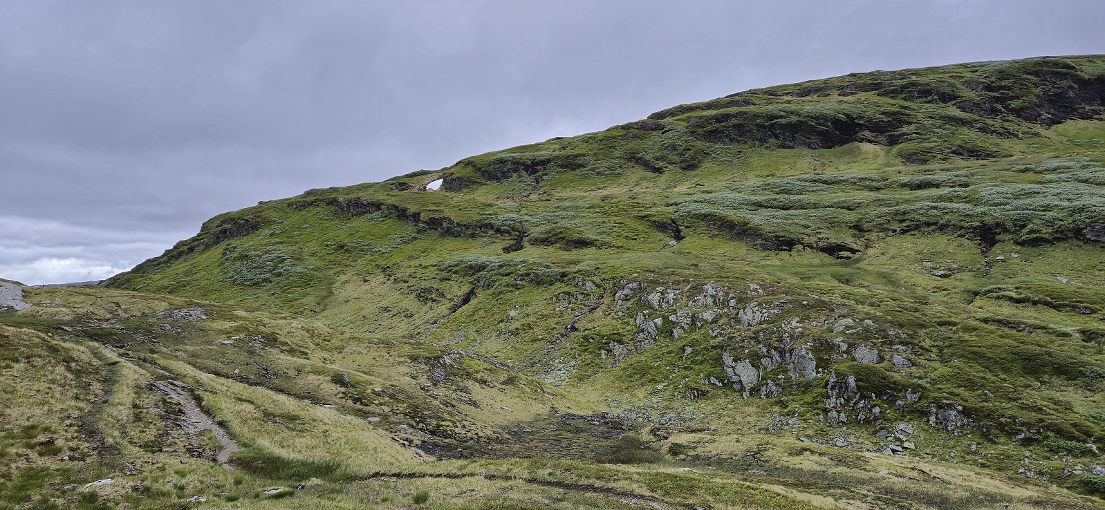
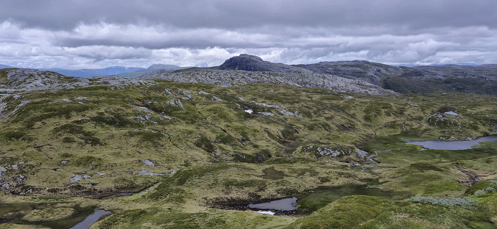
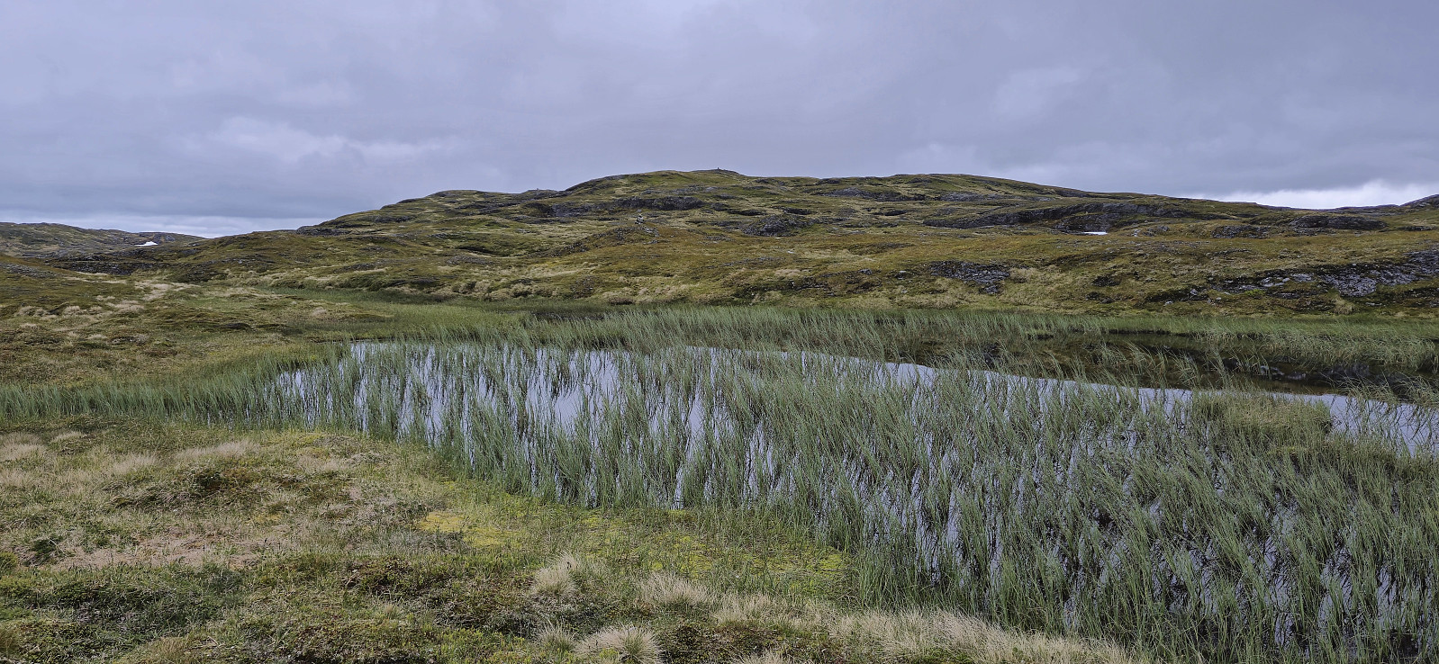
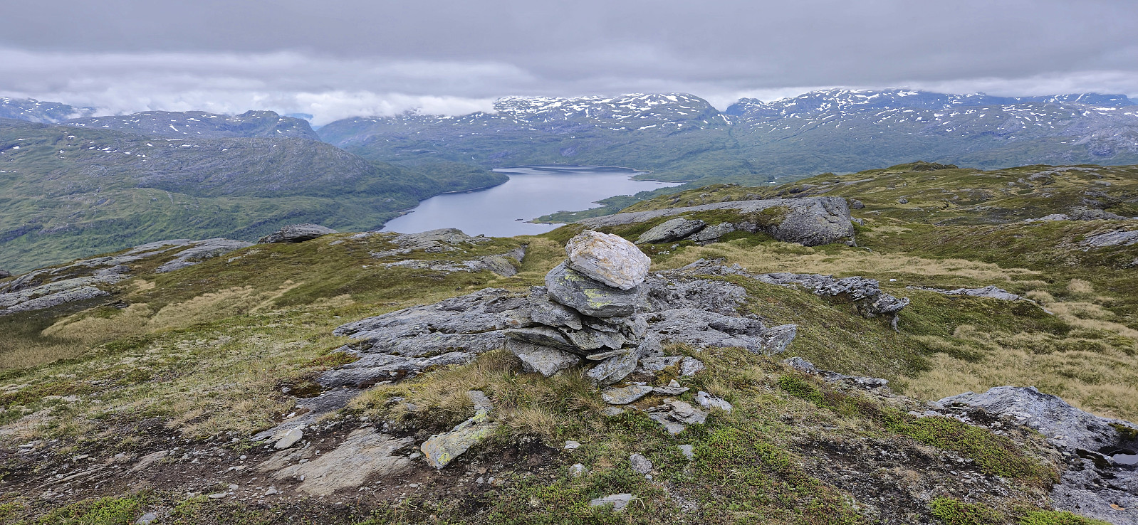
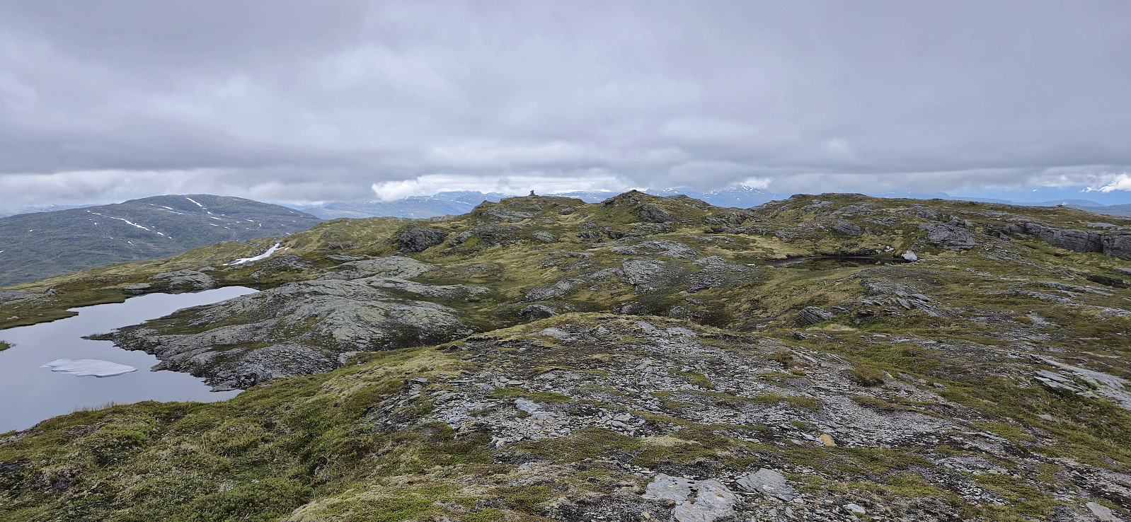
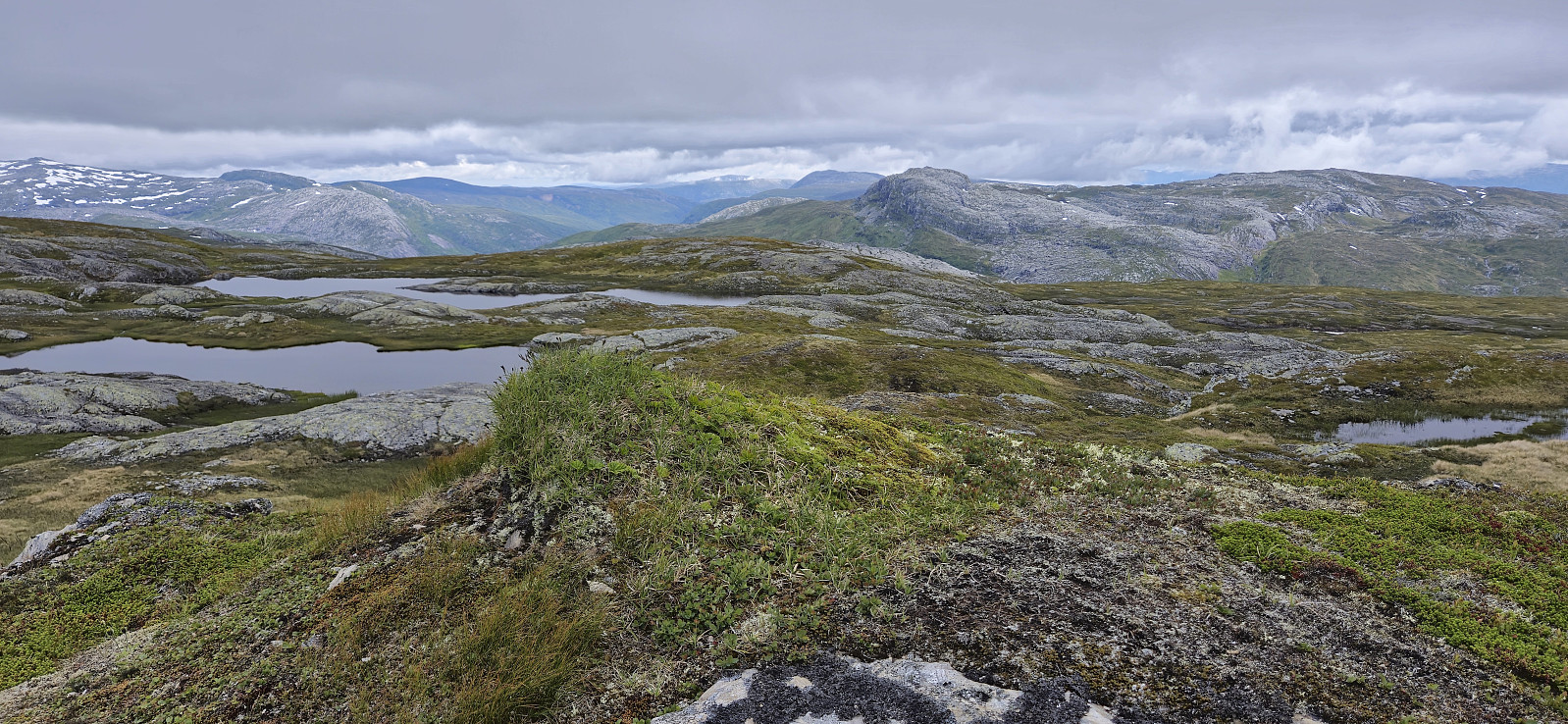
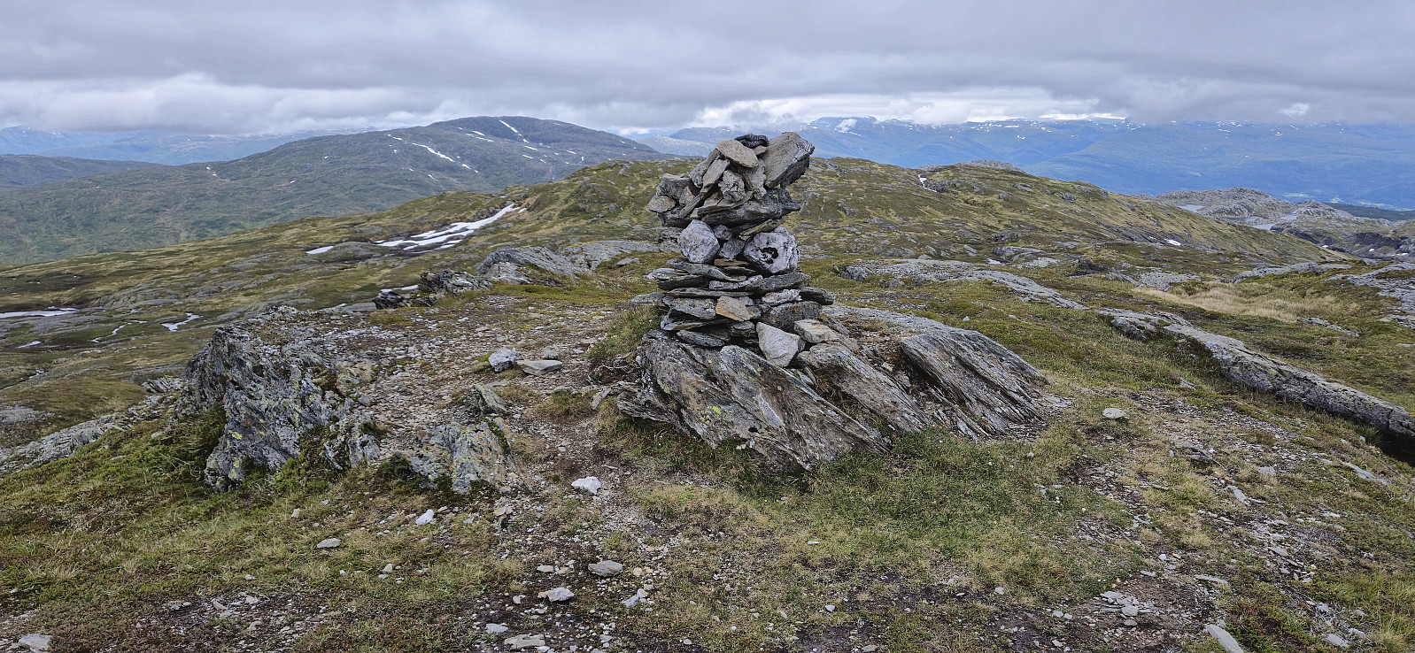
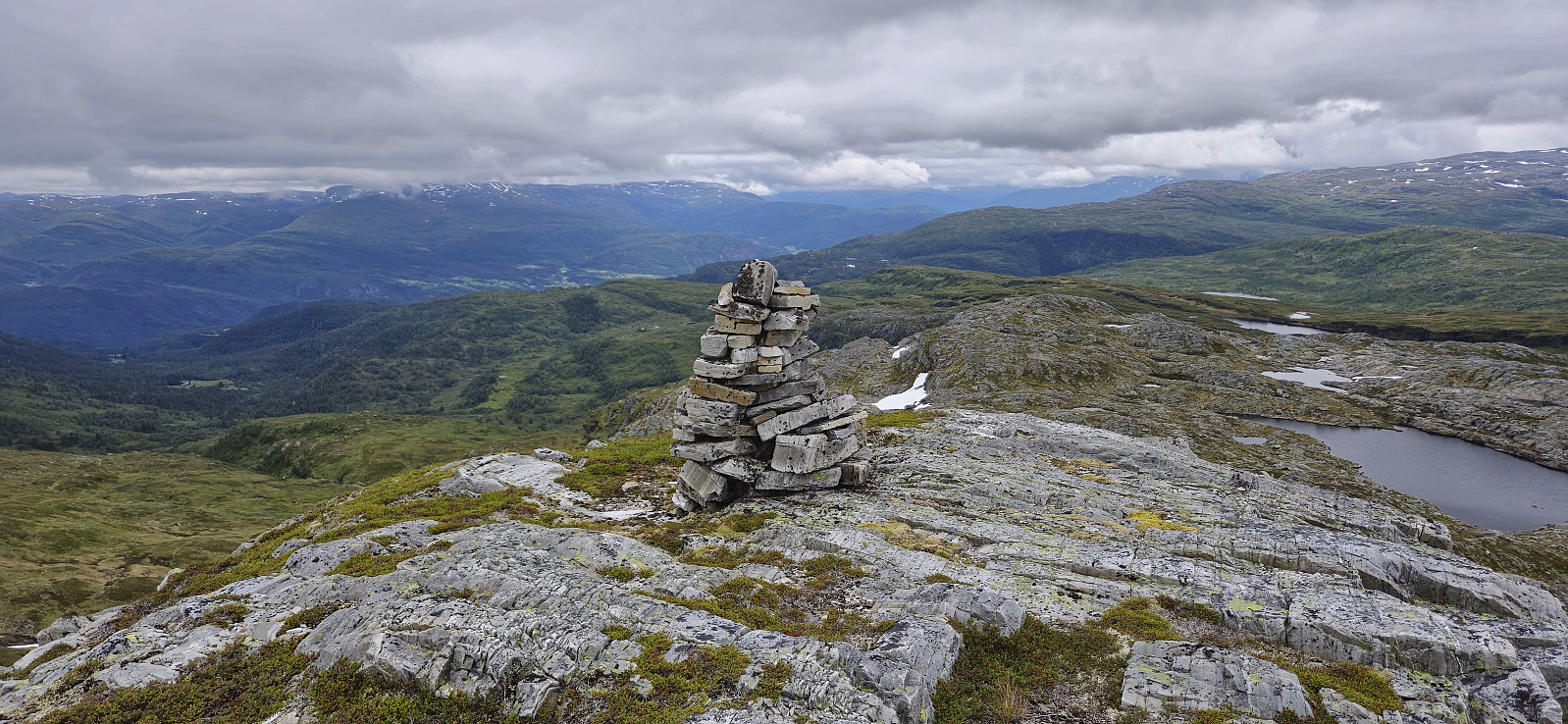
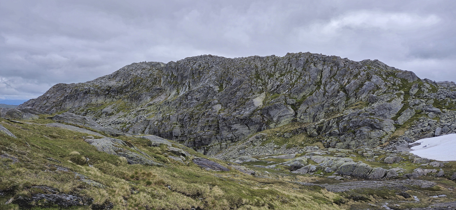
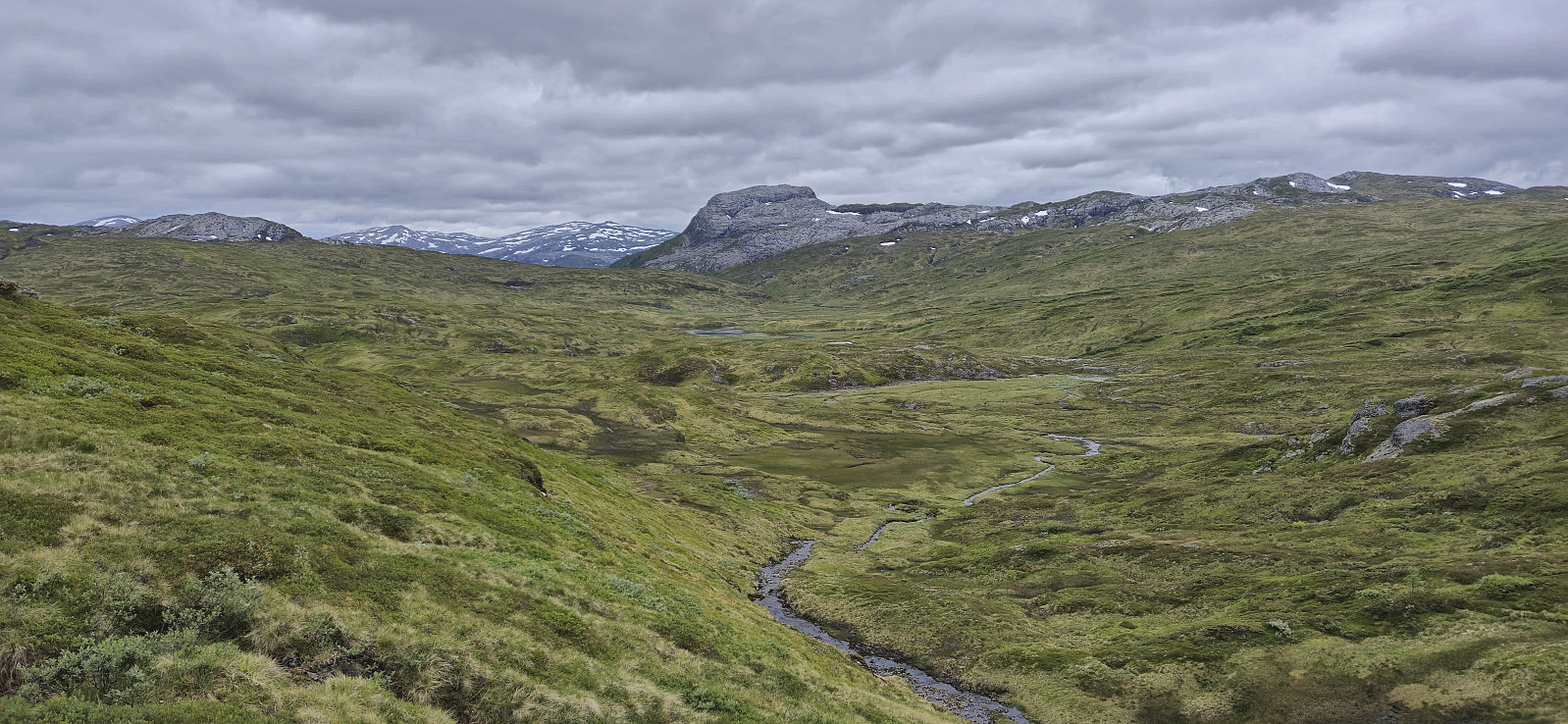
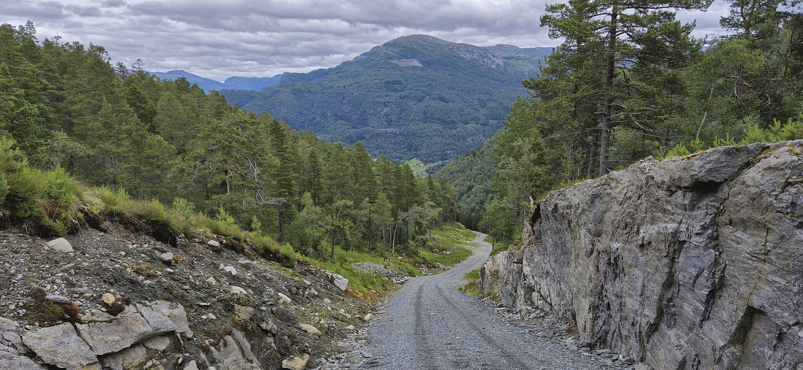
I started by taking the train to Dale and from there the bus up to Bergsdalen where I got off at the start of the gravel road to Alexander Grieghytten. After a quick look at the cabin I continued on a marked trail north towards Evanger. At the top of the pass I however turned right, left the marked trail, and headed off-trail to the summit of Hamlagrøhornet. Here I visited all of the potential highest points (the one just south of the largest cairn seems to be the real summit) before continuing northeast via Såta to Løva.
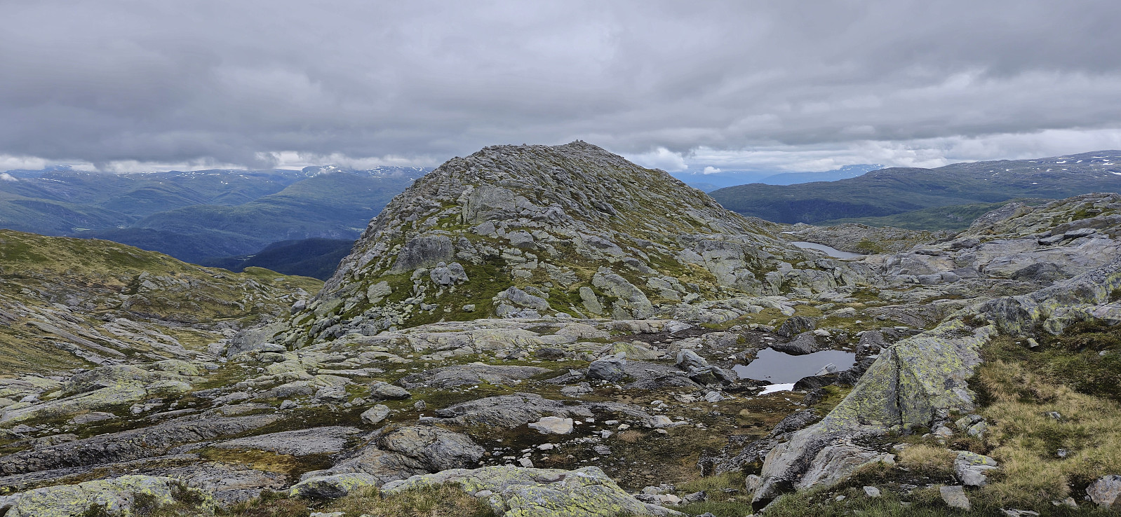
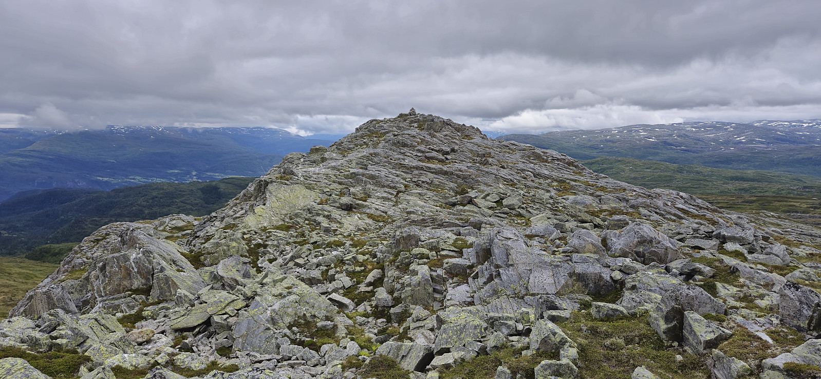
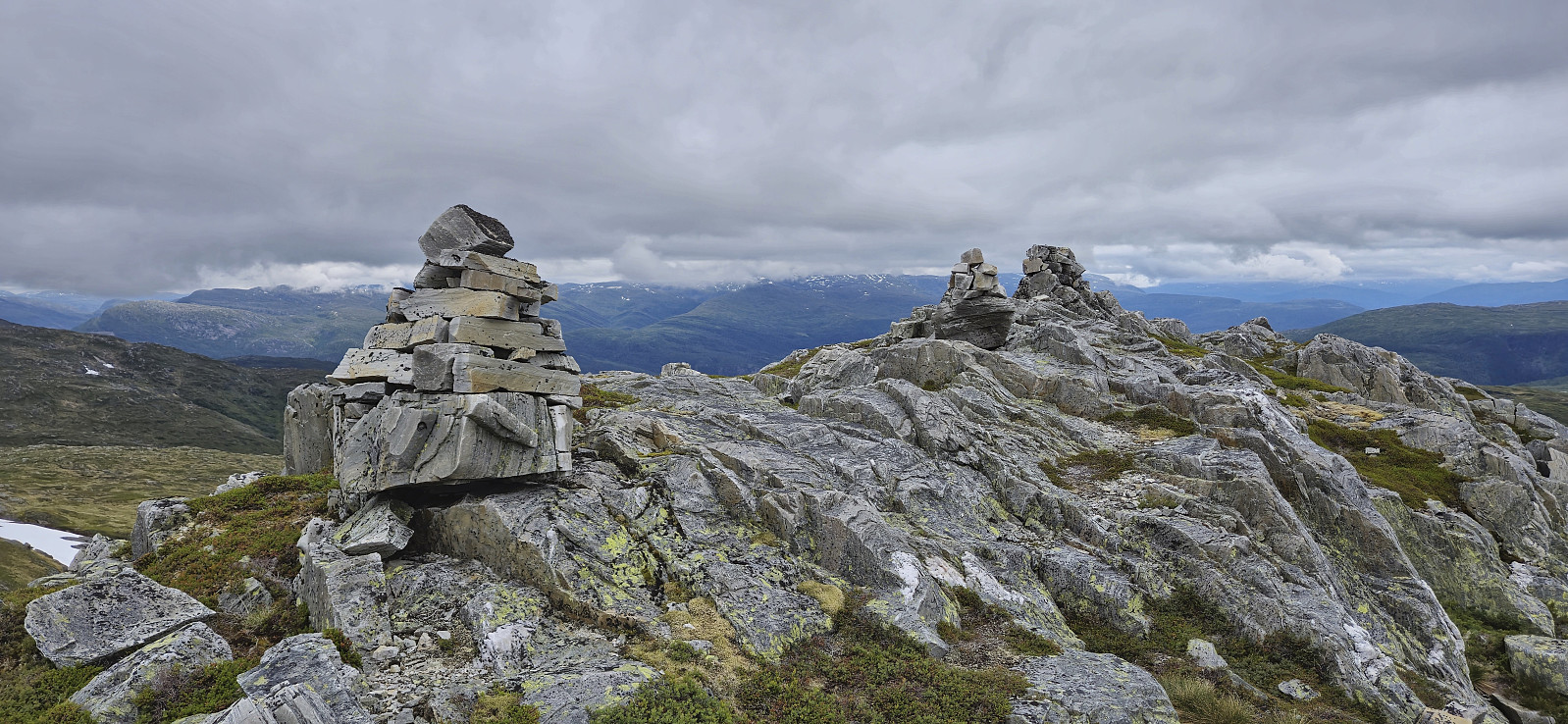
Løva stood out from the rest of the terrain but could still be easily ascended. The unusual rock formations making up the ridge seemed to be very good cairn building material, as there were at least four cairns at or near the summit. After a short lunch break, I descended the same way before heading north and then northwest to reconnect with the marked trail.
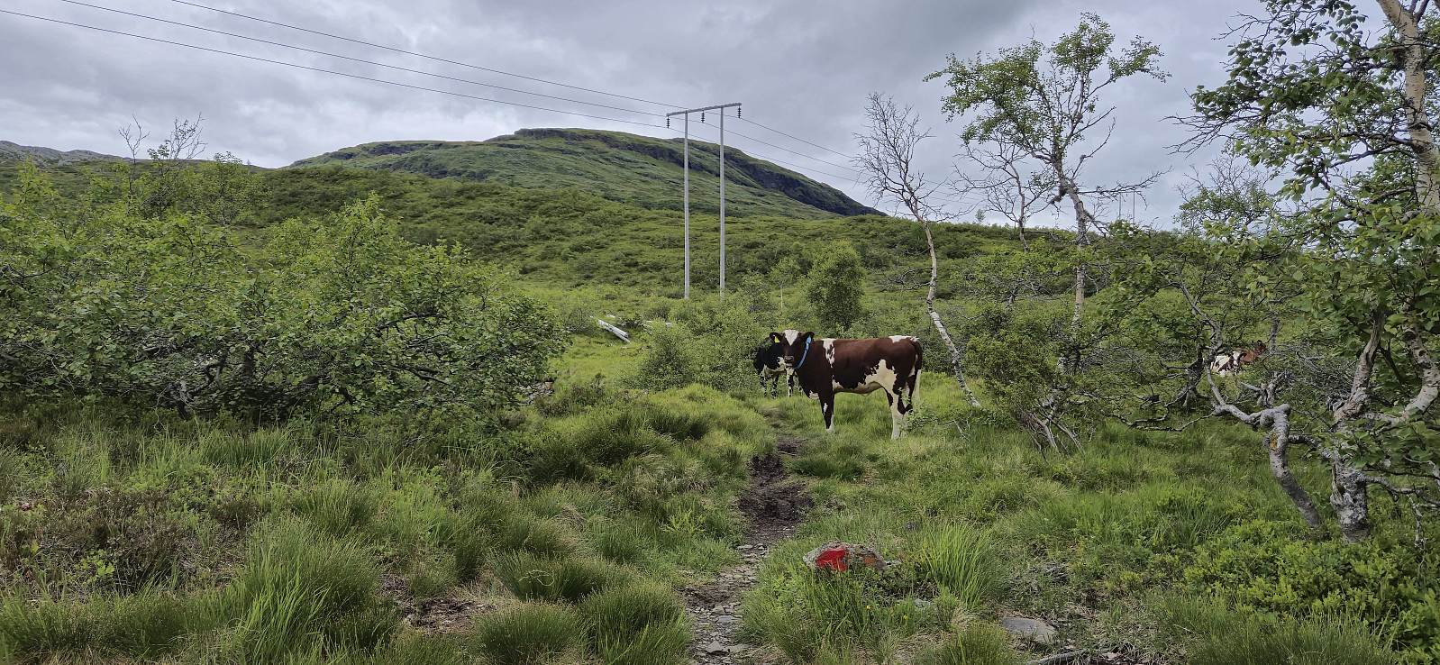
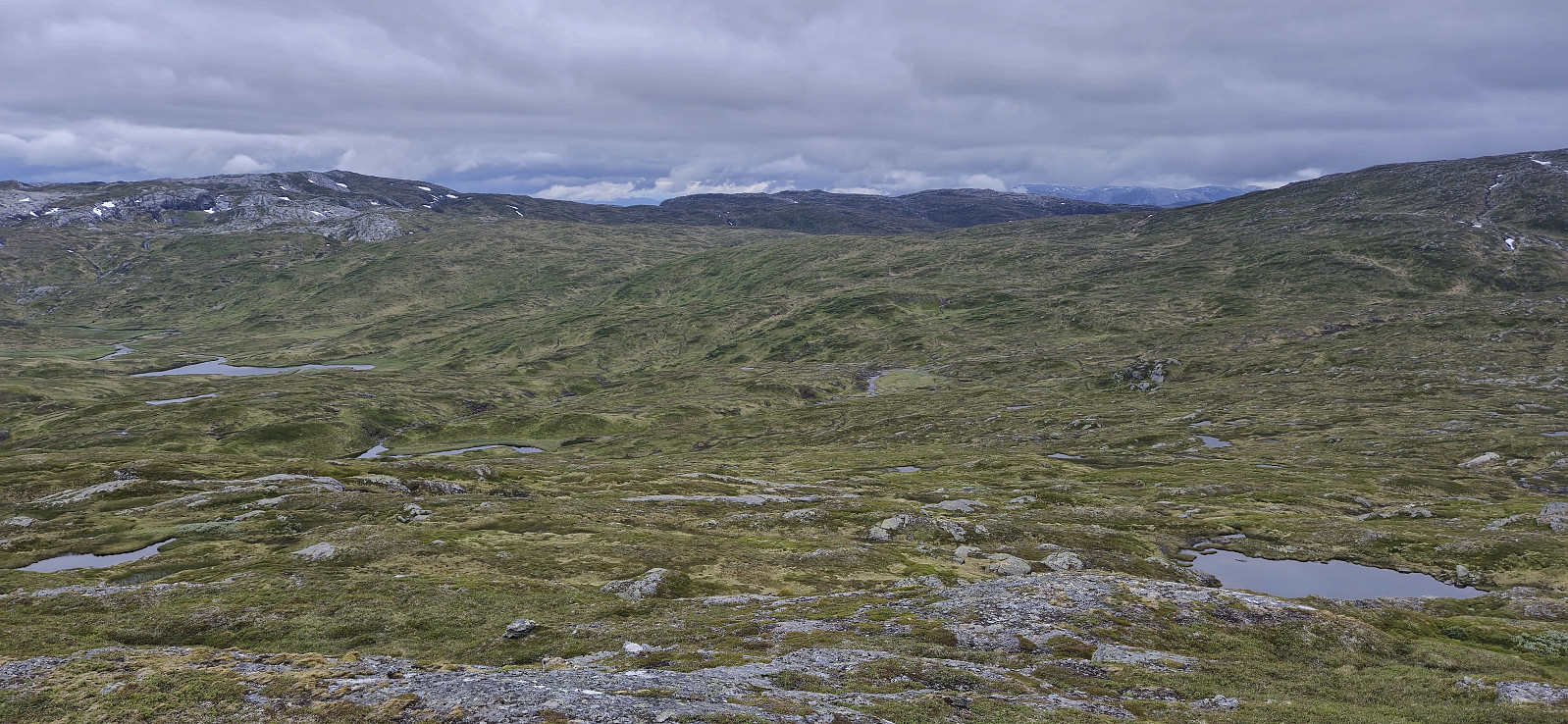
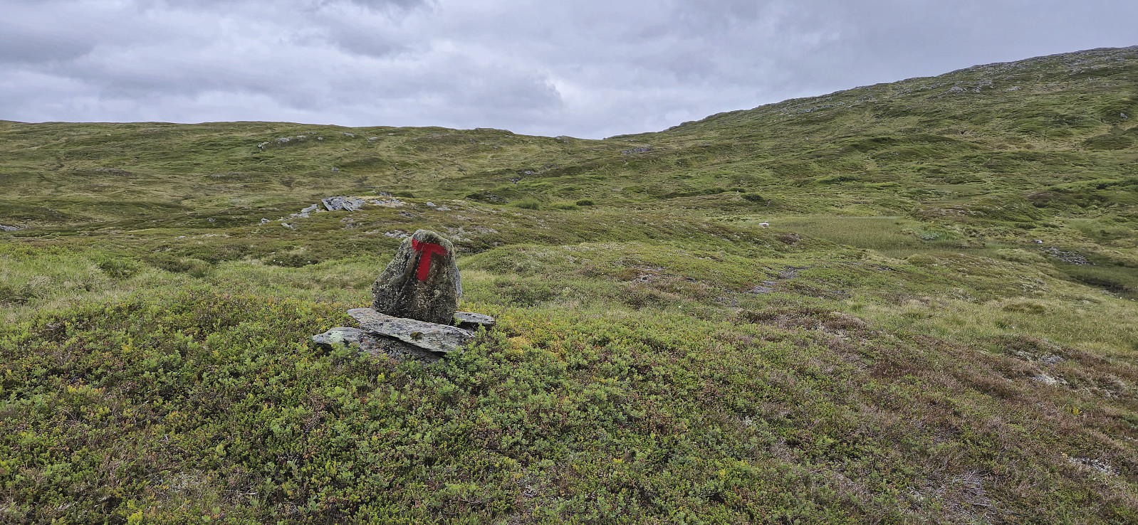
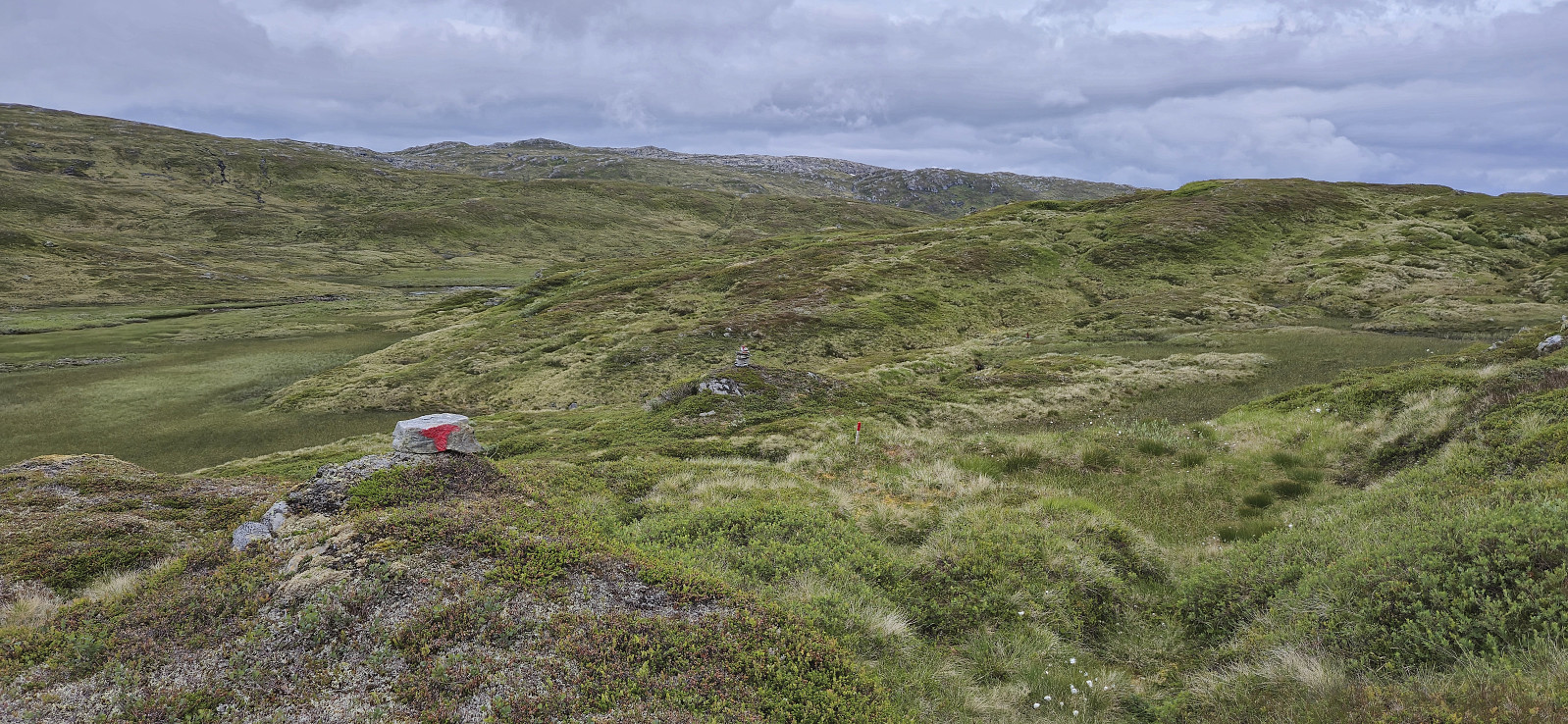
Upon returning to the trail, I however quickly concluded that a more correct description would be marked route, as the trail itself was not really visible. Many of the trail markers had been recently repainted though, and lots of new ones added, hence the route could still be followed without too much trouble. Much better than during my previous hike in the same area, that time to Mykkeltveitveten.
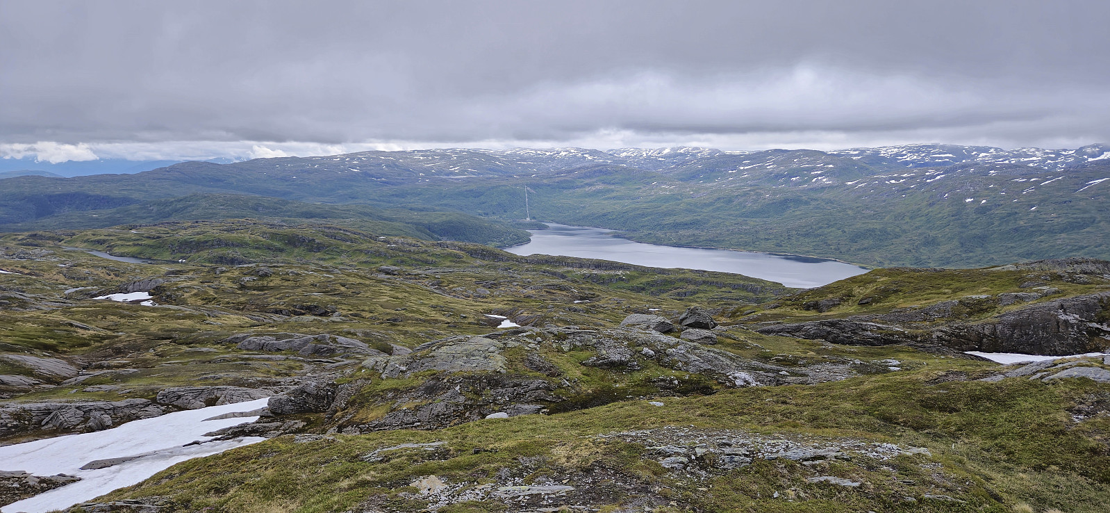
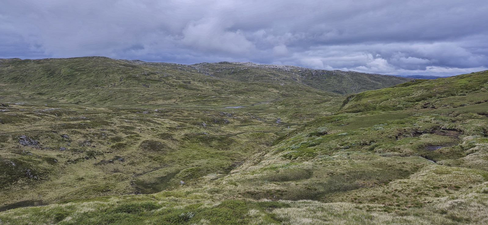
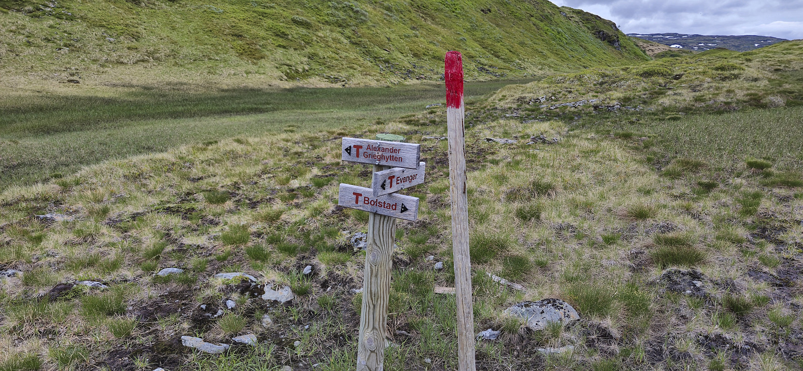
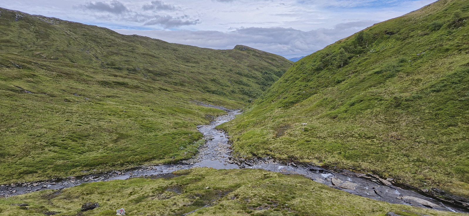
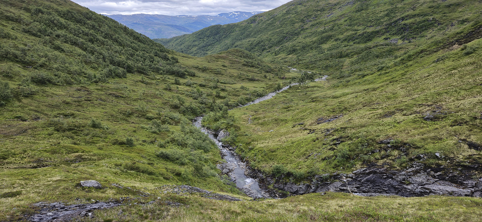
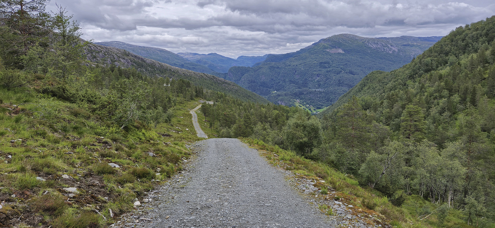
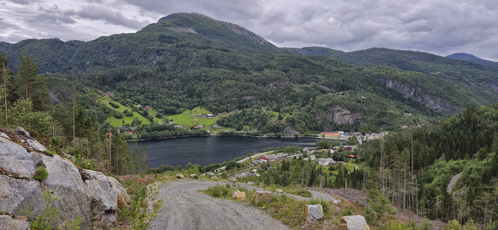
As I was descending into Velebotnen south of Vossedalstølen, I noticed a large golden eagle, i.e. kongeørn, taking off and disappearing in the distance. It turned out that a dead sheep close to the trail was what had attracted its attention. After noting down the sheep's ID tags I continued to Vossedalstølen where I met two locals. The sheep was not theirs, but they would take care of informing its owner. All that remained was then for me to head north to the start/end of the very steep gravel road and conclude the hike by following it down to the train station at Evanger and the train back to Bergen.
In summary, a nice hike with great views that can be recommended. Just do not have too high expectations for the marked trail. Better to think of it as a marked route.
| Start date | 06.07.2024 10:03 (UTC+01:00 DST) |
| End date | 06.07.2024 15:27 (UTC+01:00 DST) |
| Total Time | 5h 24min |
| Moving Time | 5h 07min |
| Stopped Time | 0h 17min |
| Overall Average | 3.4km/h |
| Moving Average | 3.6km/h |
| Distance | 18.4km |
| Vertical meters | 767m |


User comments