
Svolefjellet from Myrkdalen (15.06.2024)

Written by hbar (Harald Barsnes)

| Start point | Budeiehaugen (436m) |
|---|---|
| Endpoint | Budeiehaugen (436m) |
| Characteristic | Hillwalk |
| Duration | 5h 05min |
| Distance | 14.2km |
| Vertical meters | 786m |
| GPS |
|
| Ascents | Svolefjellet (1,094m) | 15.06.2024 |
|---|---|---|
| Visits of other PBEs | Årmotsvegen (449m) | 15.06.2024 |
Svolefjellet from Myrkdalen
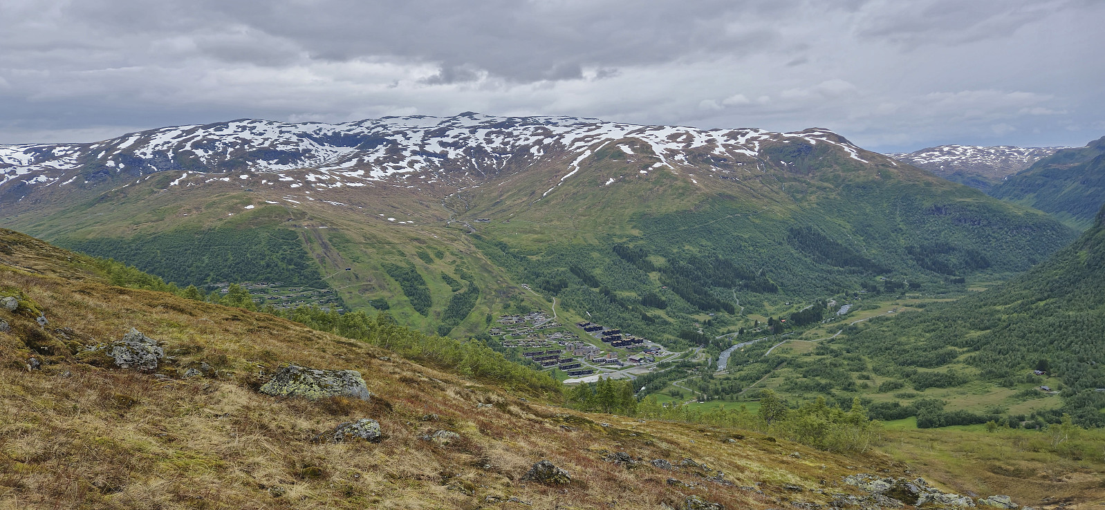
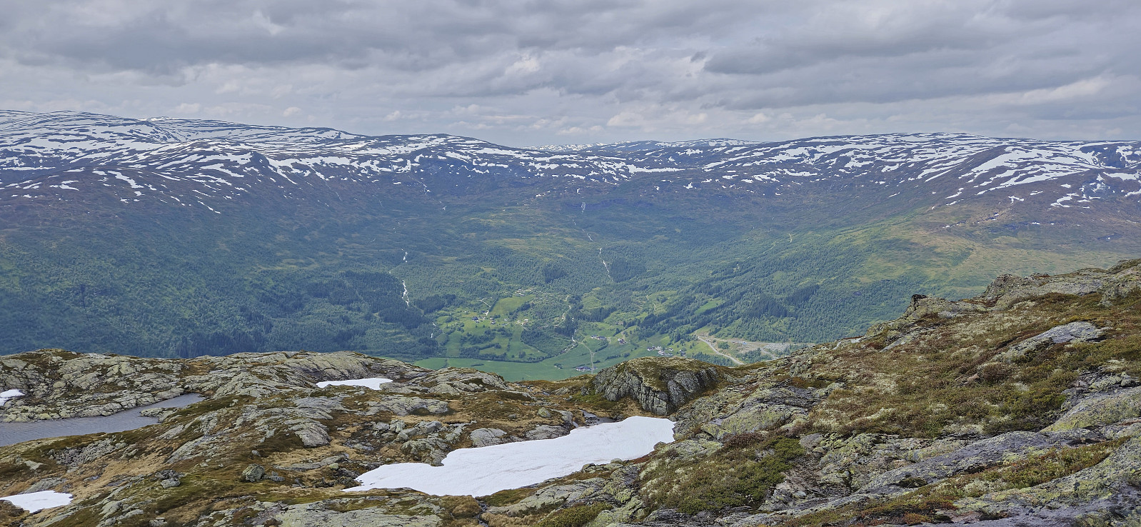
When my sister and her family drove to Voss where my youngest nephew was going to take part in Voss Cup, me and my dad wanted to first go for a hike and decided on Svolefjellet. Based on information from myrkdalen.no I had located a marked trail to Svoleset from the valley north of Svolefjellet and assumed that we would not have any issues reaching the summit from there.
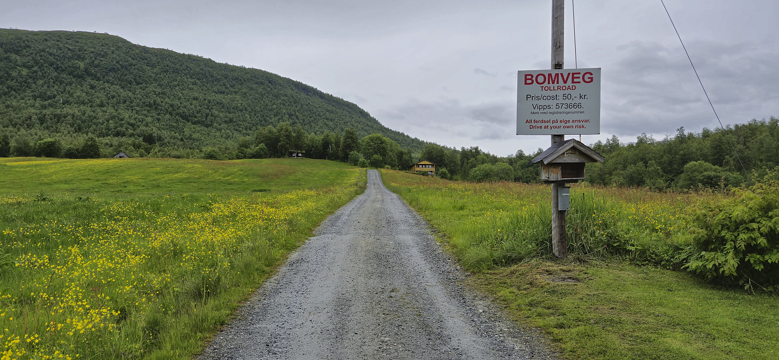
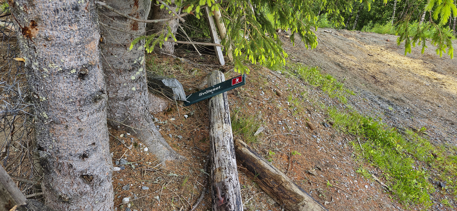
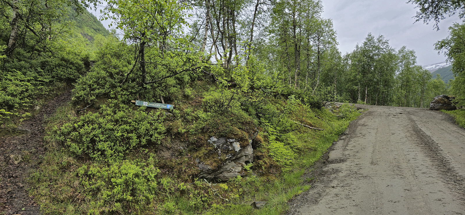
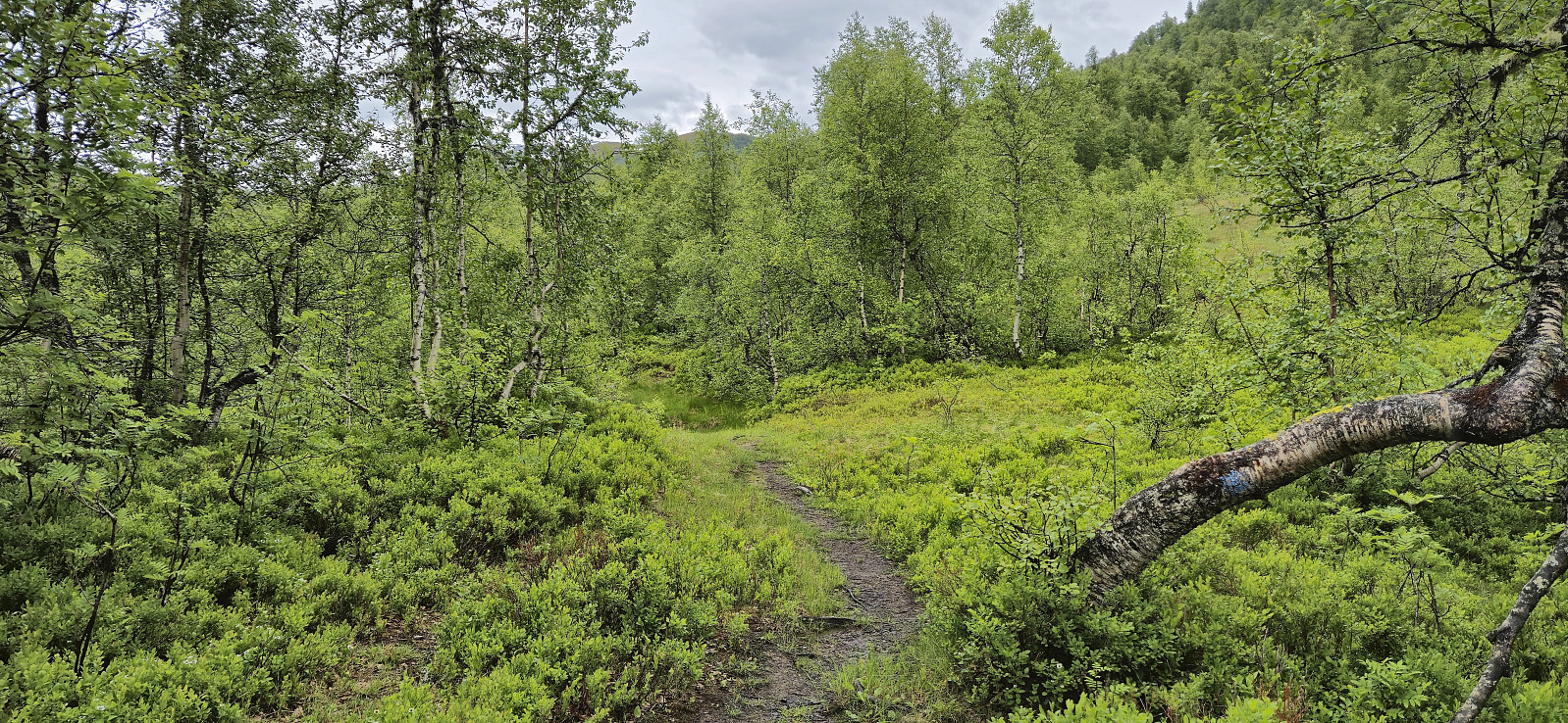
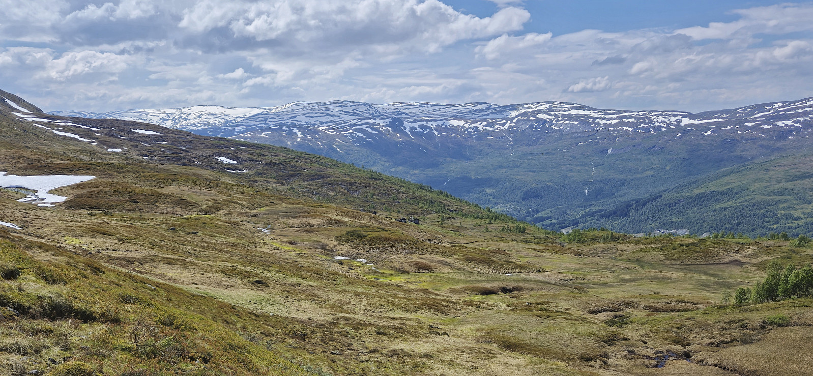
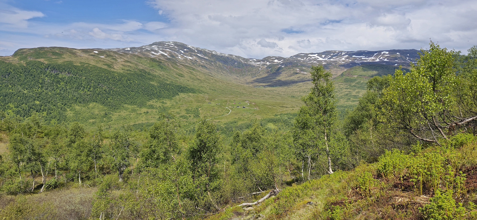
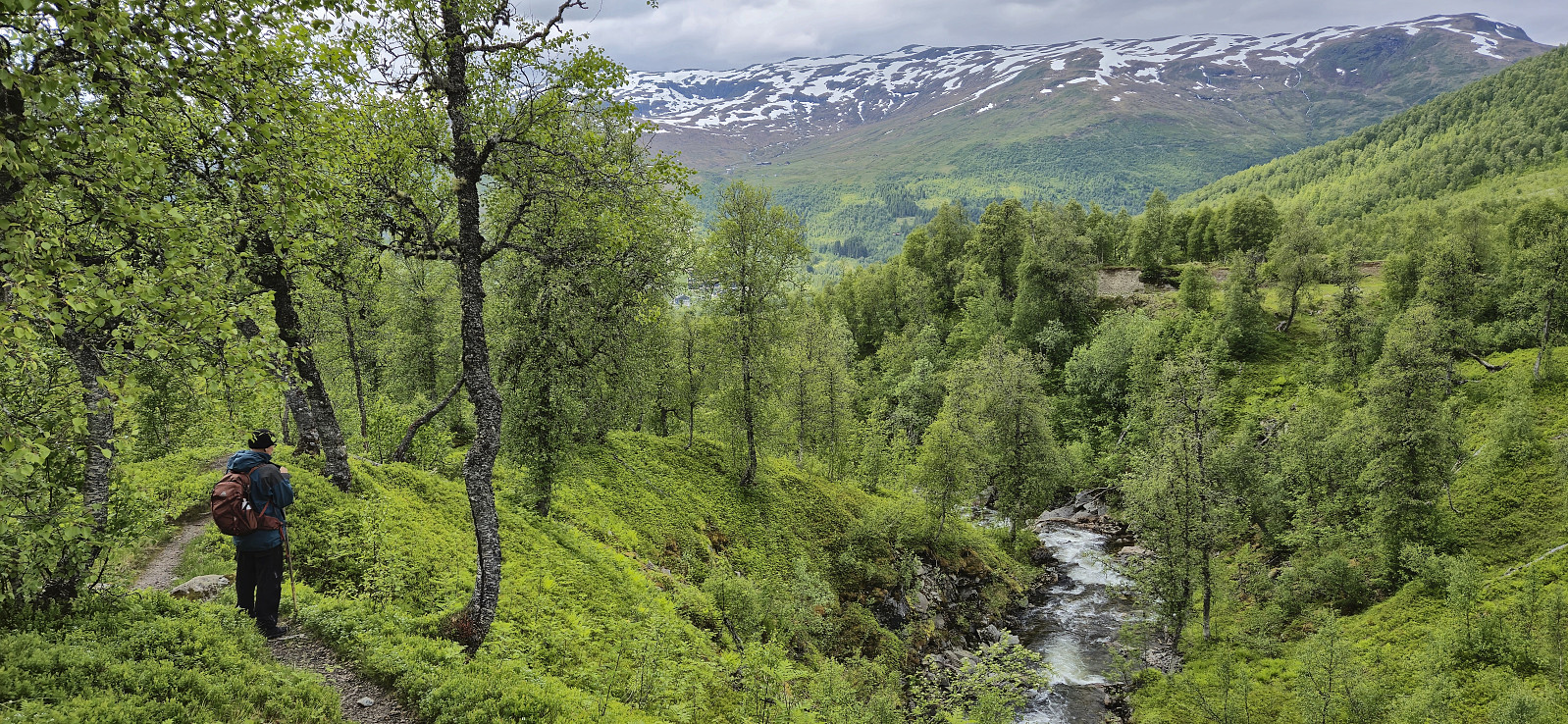
After crossing the main road we followed a gravel road east to Bygdastølen where we crossed the river Kvanndølen via a bridge and continued on a newer and not yet fully set gravel road on the other side of the river. At this point we had come by two trail signs for Svoleset. The first was laying on the ground next to the gate at Bygdastølen, and the second was pointing at a trail stub that quickly came to an end just as the mentioned new gravel road started.
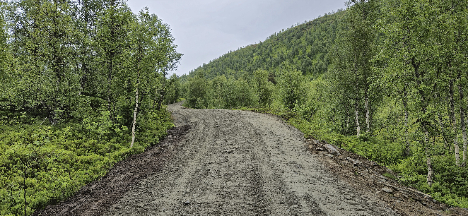
We were therefore not completely sure if we were on the right track, but shortly after passing a cabin at the end of the road, the road turned into a trail marked with blue paint. Granted, the markers were not always the easiest to spot, and sometimes far between, but combined with an overall ok trail we managed to find our way without any real problems.
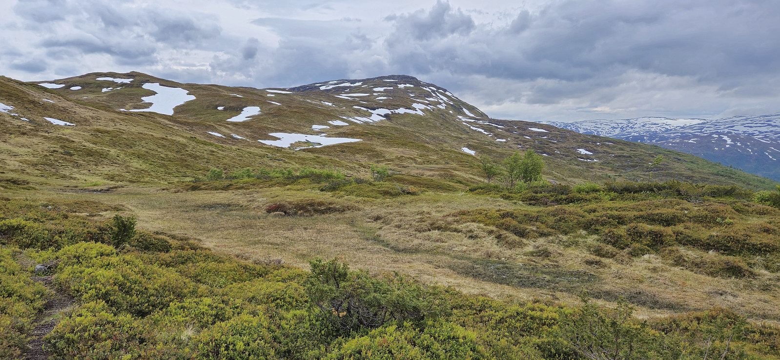
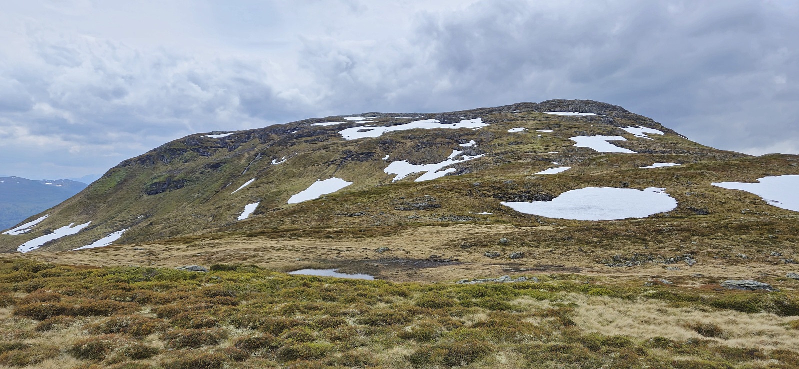
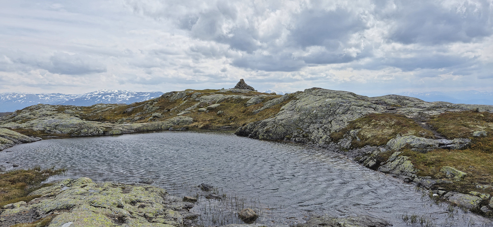
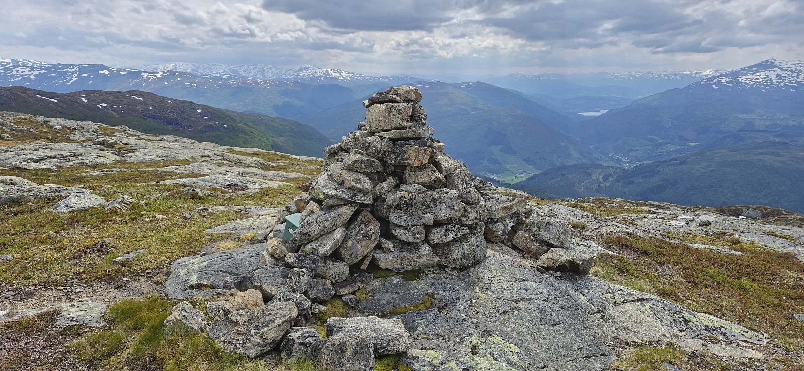
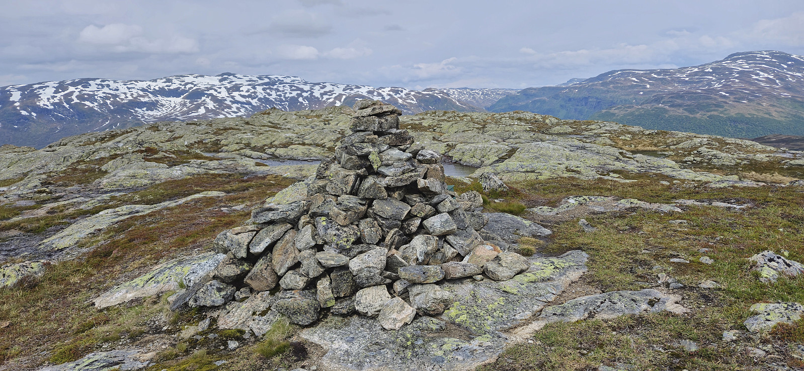
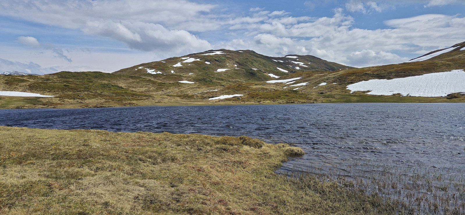
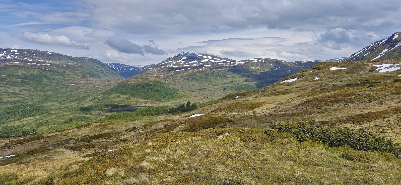
Later, we left the marked trail as it started descending towards Svoleset and instead headed off-trail towards the summit of Svolefjellet that was now visible in the distance. My dad decided to take a break next to the 992.4 hill northeast of the summit, while I completed the rest of the distance on my own. Excellent views from the summit, although a rather strong wind, and my dad waiting for me, resulted in a short visit before returning the same way.
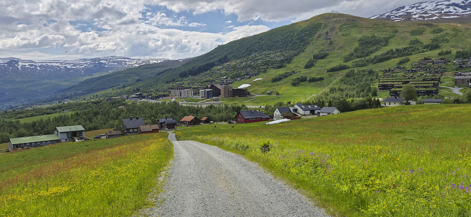
For our joint descent we followed the same route as for the ascent, except for a shortcut along an animal track east of Skarhaugene in order to more quickly reconnect with the marked trail. After finally returning to Myrkdalen we drove to Voss to catch my nephew’s last game of the day.
| Start date | 15.06.2024 10:36 (UTC+01:00 DST) |
| End date | 15.06.2024 15:41 (UTC+01:00 DST) |
| Total Time | 5h 05min |
| Moving Time | 4h 45min |
| Stopped Time | 0h 20min |
| Overall Average | 2.8km/h |
| Moving Average | 3.0km/h |
| Distance | 14.2km |
| Vertical meters | 786m |


User comments