
Beinvedfjellet (08.06.2024)

Written by hbar (Harald Barsnes)

| Start point | Rambjørgsvegen (31m) |
|---|---|
| Endpoint | Rambjørgsvegen (31m) |
| Characteristic | Hillwalk |
| Duration | 0h 40min |
| Distance | 1.4km |
| Vertical meters | 130m |
| GPS |
|
| Ascents | Beinvedfjellet (157m) | 08.06.2024 12:50 |
|---|
Beinvedfjellet
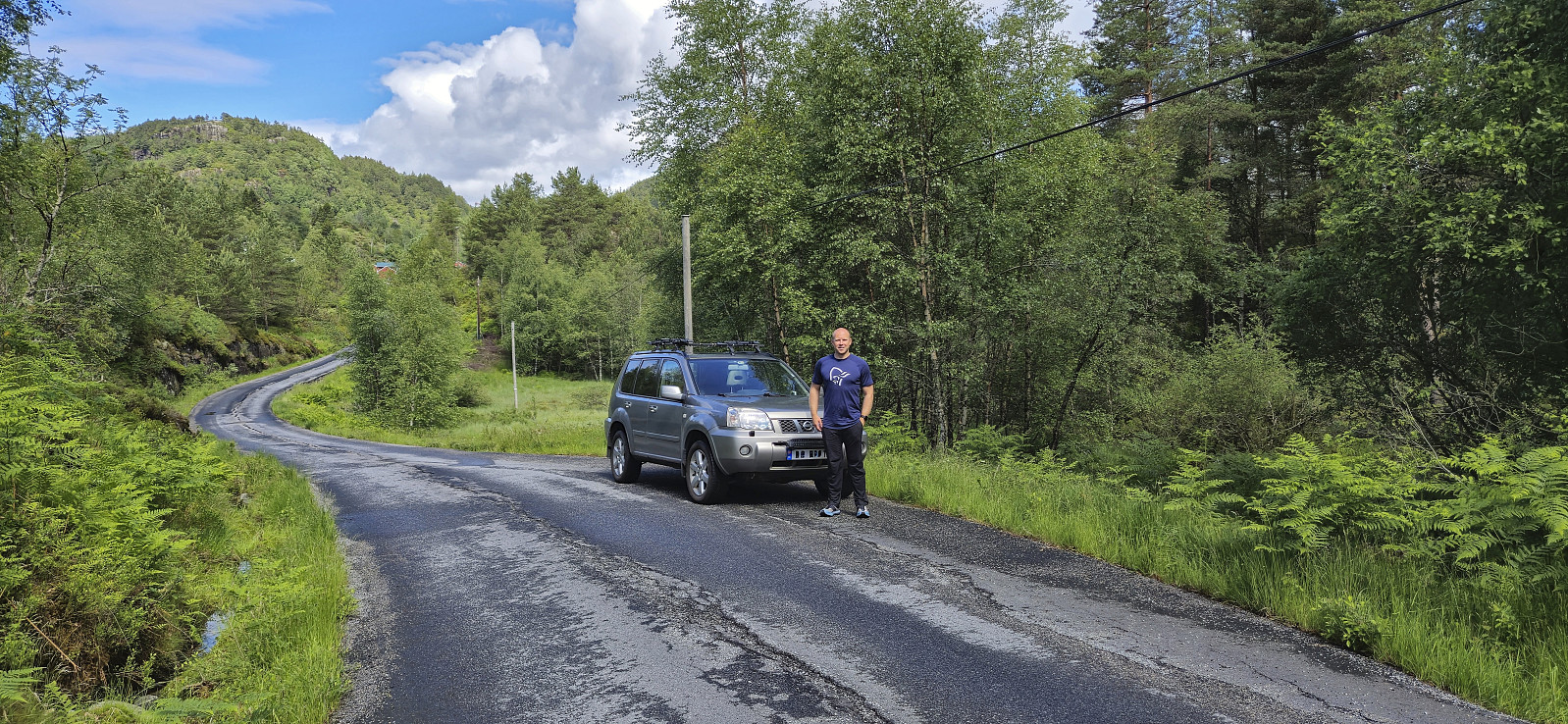
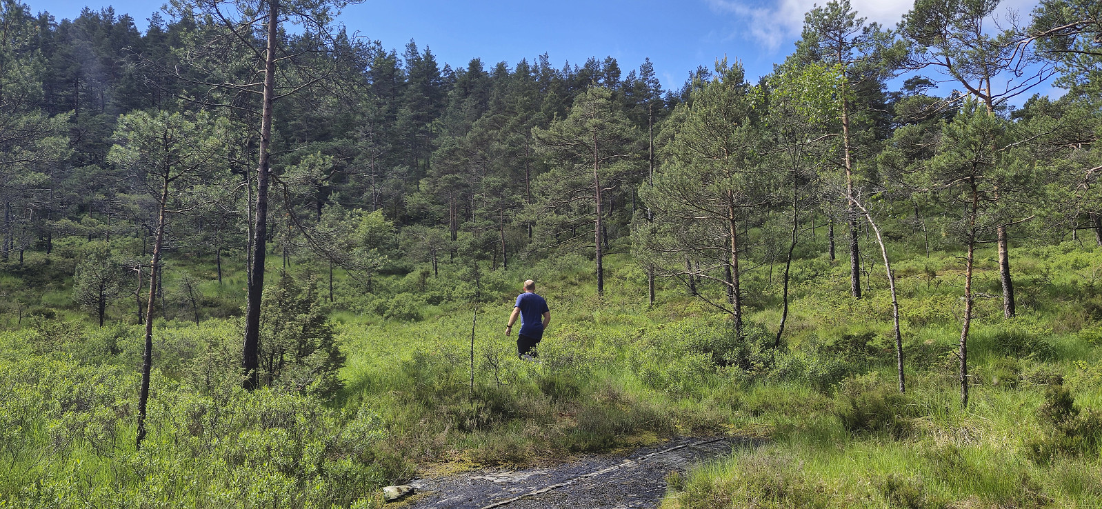
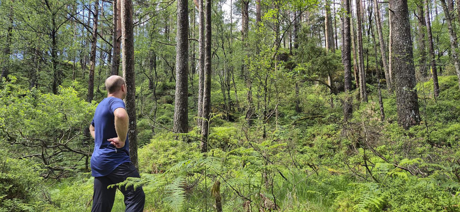
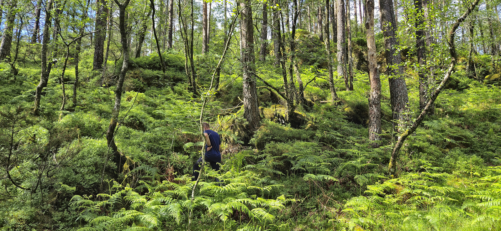
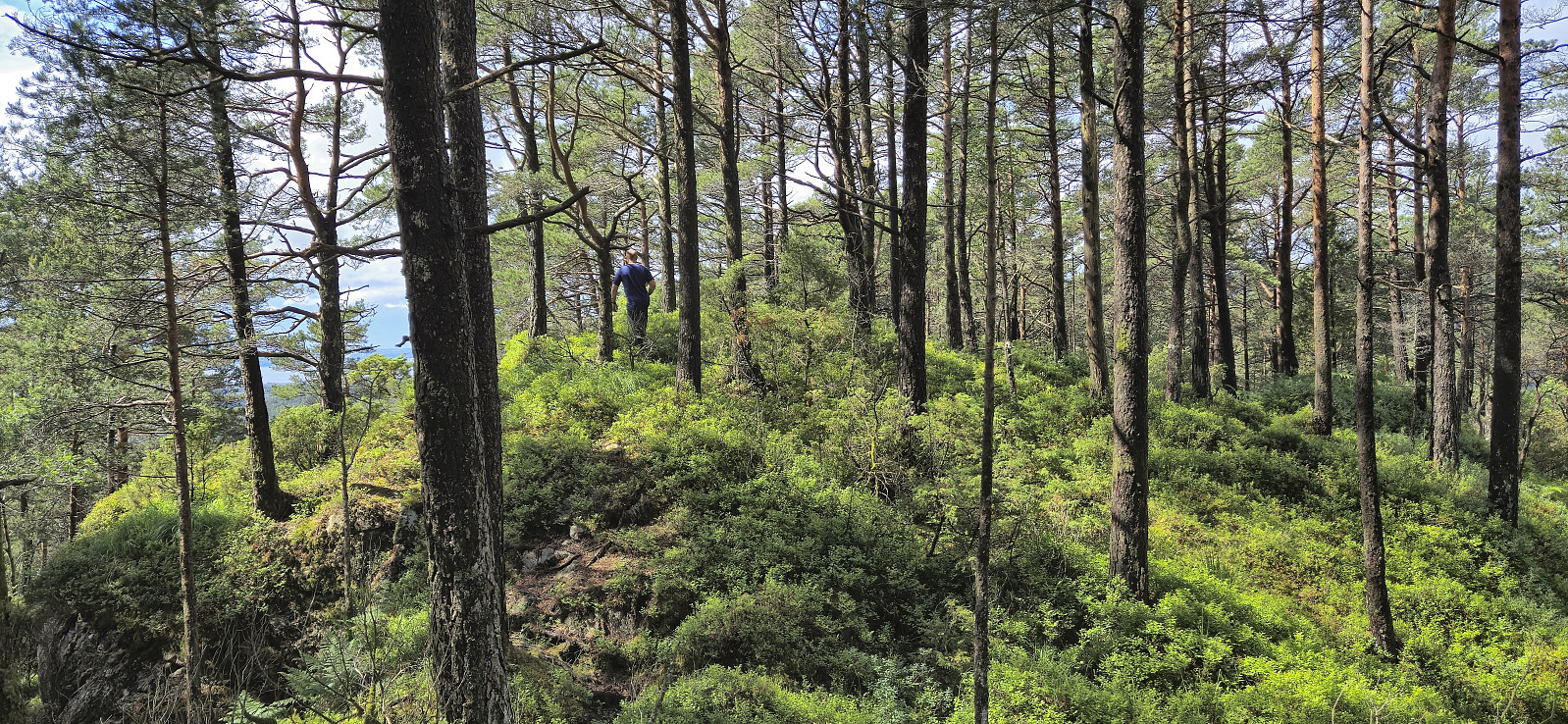
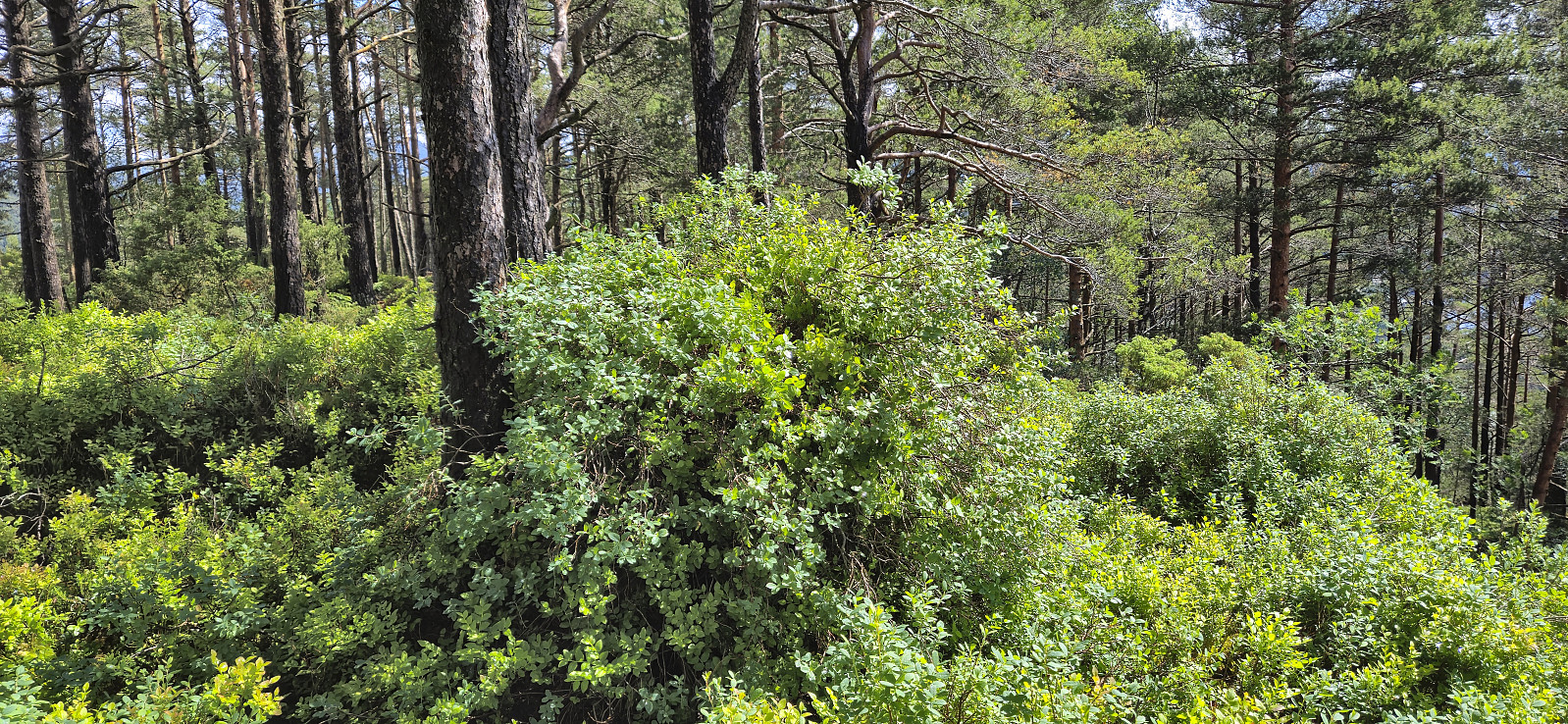
On the way south from our visit of Melshovden, we did not drive far before finding parking next to the road and starting our ascent of Beinvedfjellet. Thankfully this was a short hike as the terrain was the least inviting of the day with lots of wet areas and an uneven ground with only the occasional deer track.
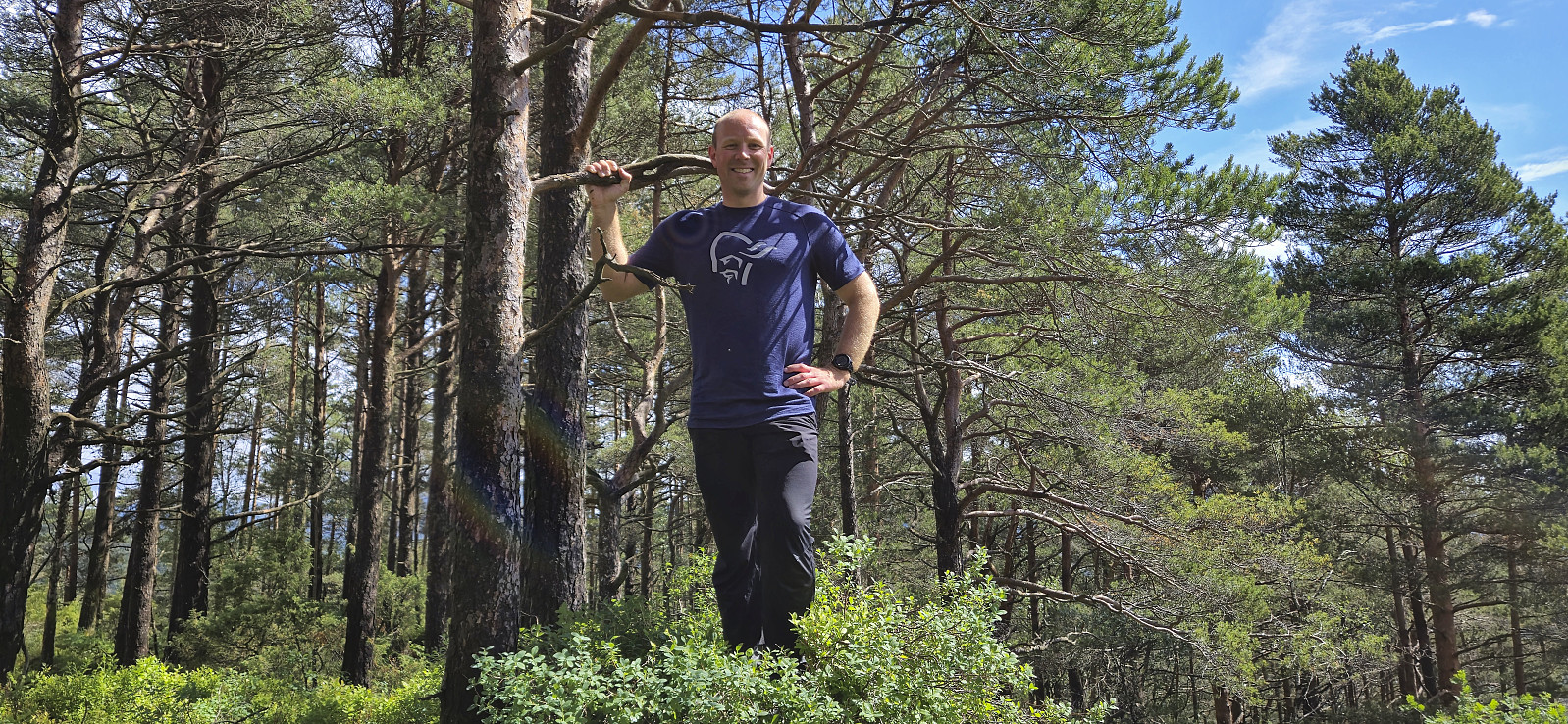
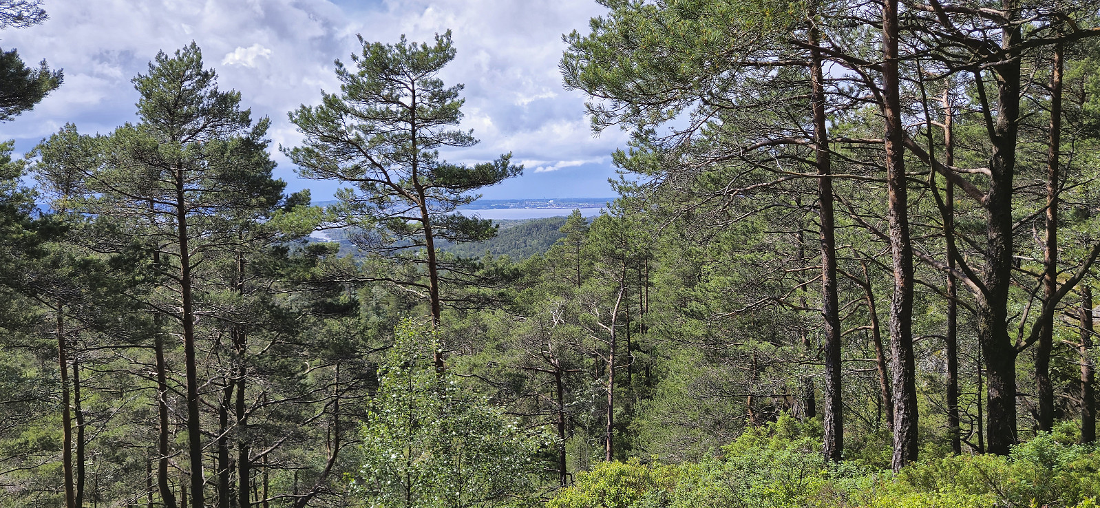
Next to no views from the summit, the only exception being Mongstad which could be spotted in the distance. After a couple of pictures we therefore quickly returned along more or less the same route.
With three summits in the bag, we drove northeast to Byrkjelandsvatnet for our ascent of Merksholten.
| Start date | 08.06.2024 12:29 (UTC+01:00 DST) |
| End date | 08.06.2024 13:10 (UTC+01:00 DST) |
| Total Time | 0h 40min |
| Moving Time | 0h 37min |
| Stopped Time | 0h 3min |
| Overall Average | 2.0km/h |
| Moving Average | 2.2km/h |
| Distance | 1.4km |
| Vertical meters | 130m |


User comments