
Svelikulten (08.06.2024)

Written by hbar (Harald Barsnes)

| Start point | Ytre Haugsdal (26m) |
|---|---|
| Endpoint | Ytre Haugsdal (26m) |
| Characteristic | Hillwalk |
| Duration | 0h 49min |
| Distance | 3.1km |
| Vertical meters | 219m |
| GPS |
|
| Ascents | Svelikulten (251m) | 08.06.2024 10:50 |
|---|
Svelikulten
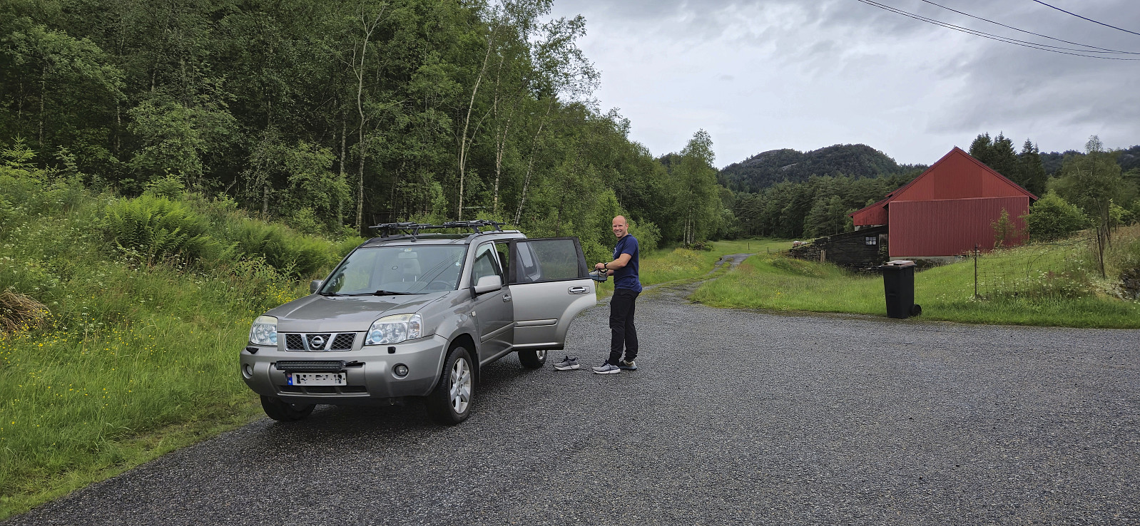
Based on the success of our previous trip to Masfjorden in February where Endre and I visited a total of seven summits, we decided to have another go. Once more we arrived via the cable ferry from Masfjordnes to Duesund. From there we drove northwest to Ytre Haugsdal for the first goal of the day: Svelikulten.
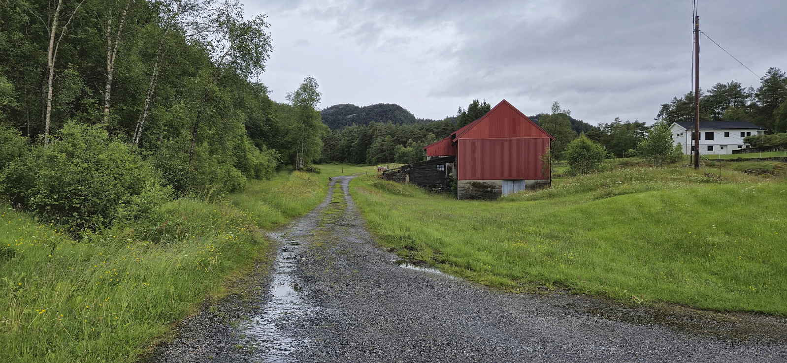
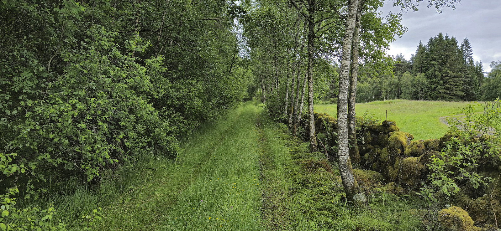
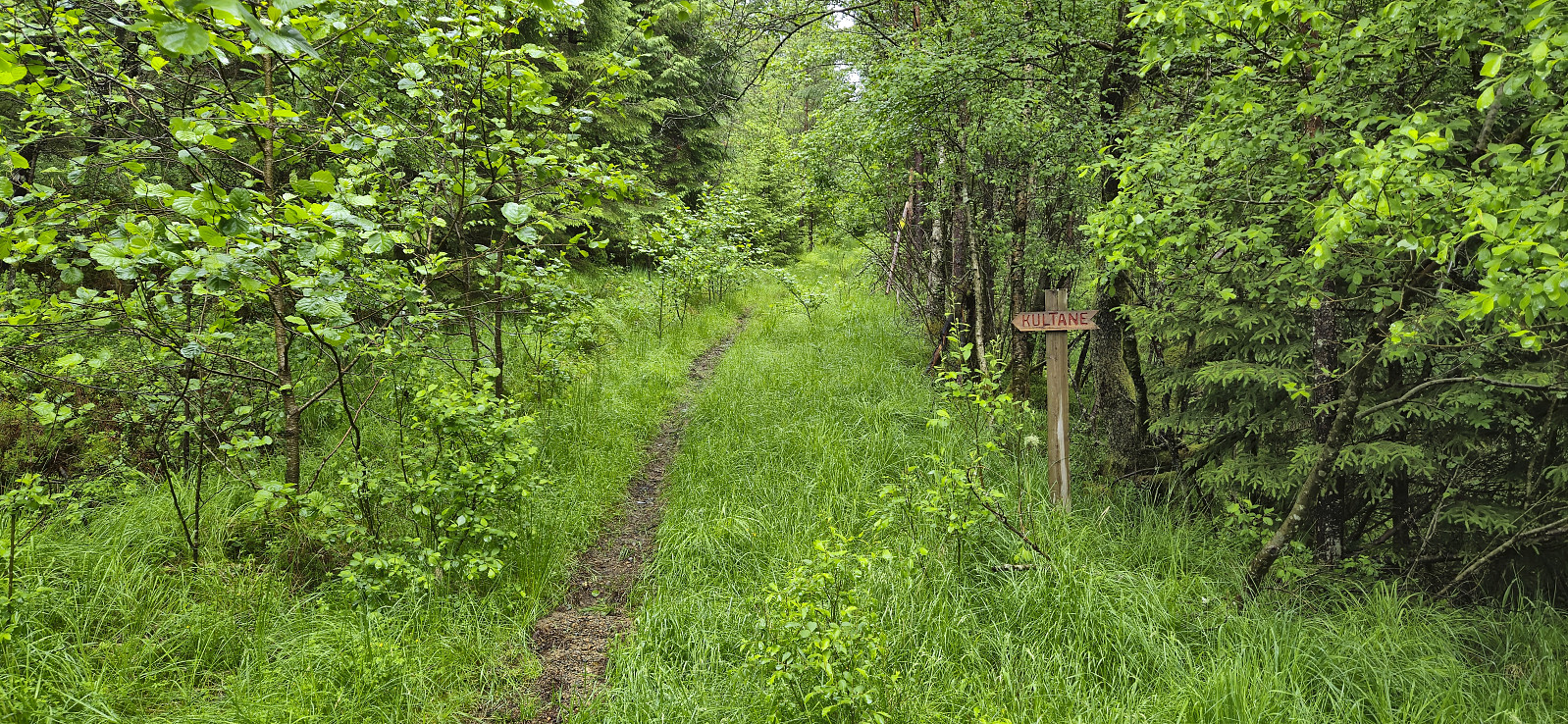
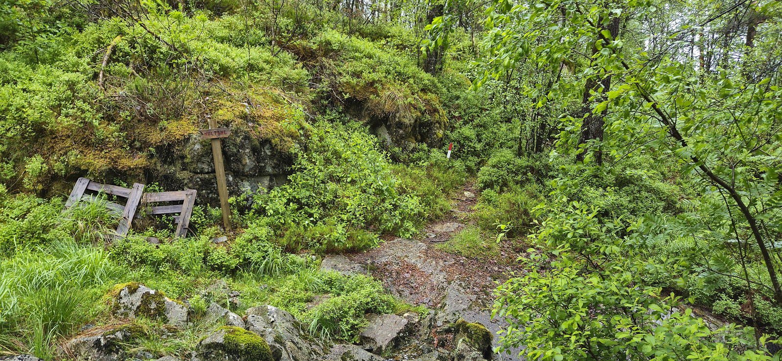
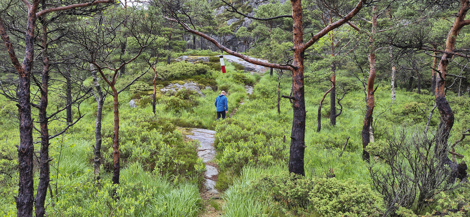
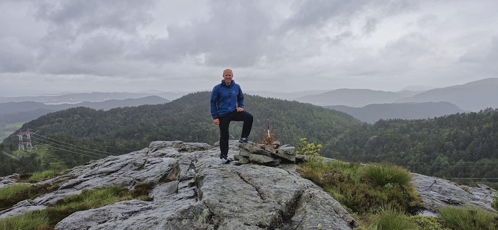
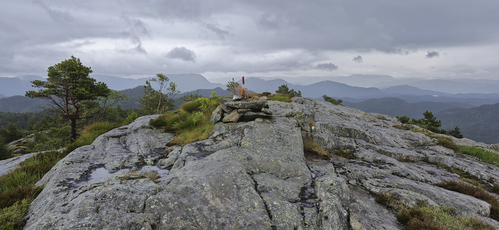
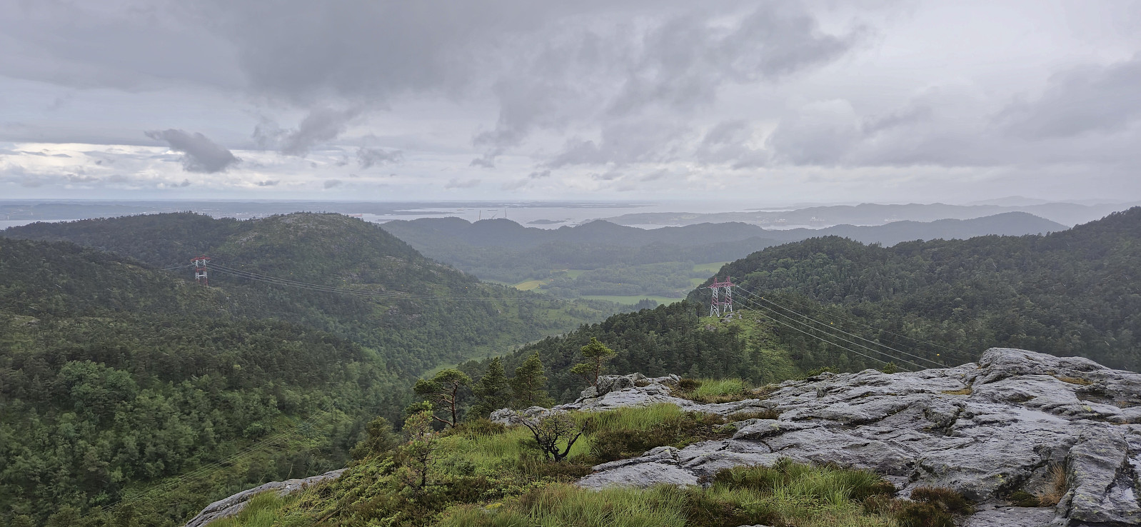
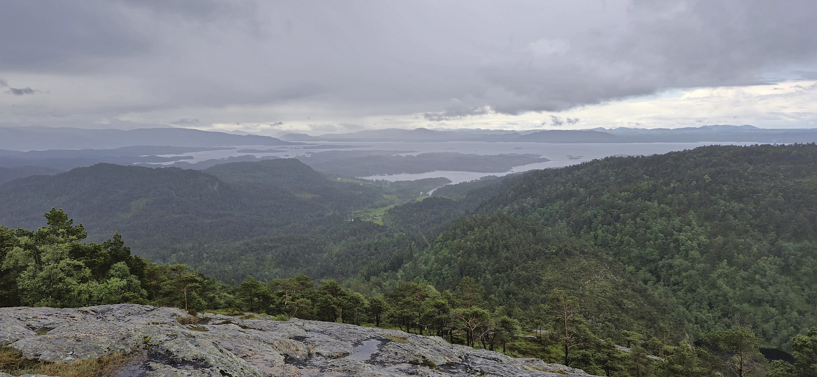
We parked at the crossroads at the end of the road and followed a tractor road north towards the summit. The tractor road gradually turned into a marked trail that led us all the way to a summit that provided surprisingly good views, although today rather limited by the low-hanging rain clouds. We therefore did not stay long before returning the same way.
Back in the car, we drove the short distance east to Rambjørg to ascend Melshovden.
| Start date | 08.06.2024 10:27 (UTC+01:00 DST) |
| End date | 08.06.2024 11:16 (UTC+01:00 DST) |
| Total Time | 0h 49min |
| Moving Time | 0h 46min |
| Stopped Time | 0h 3min |
| Overall Average | 3.7km/h |
| Moving Average | 4.0km/h |
| Distance | 3.1km |
| Vertical meters | 218m |


User comments