
Onen from Austdalen (12.05.2024)

Written by hbar (Harald Barsnes)

| Start point | Austdalen p-plass (763m) |
|---|---|
| Endpoint | Austdalen p-plass (763m) |
| Characteristic | Backcountry skiing |
| Duration | 7h 39min |
| Distance | 20.7km |
| Vertical meters | 1,089m |
| GPS |
|
| Ascents | Onen (1,620m) | 12.05.2024 |
|---|---|---|
| Visits of other PBEs | Austdalen p-plass (763m) | 12.05.2024 |
Onen from Austdalen
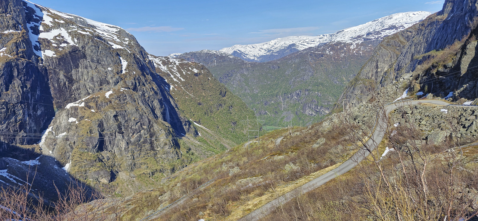

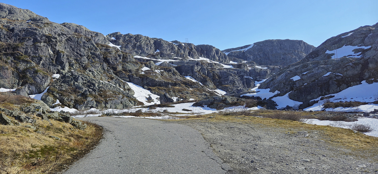
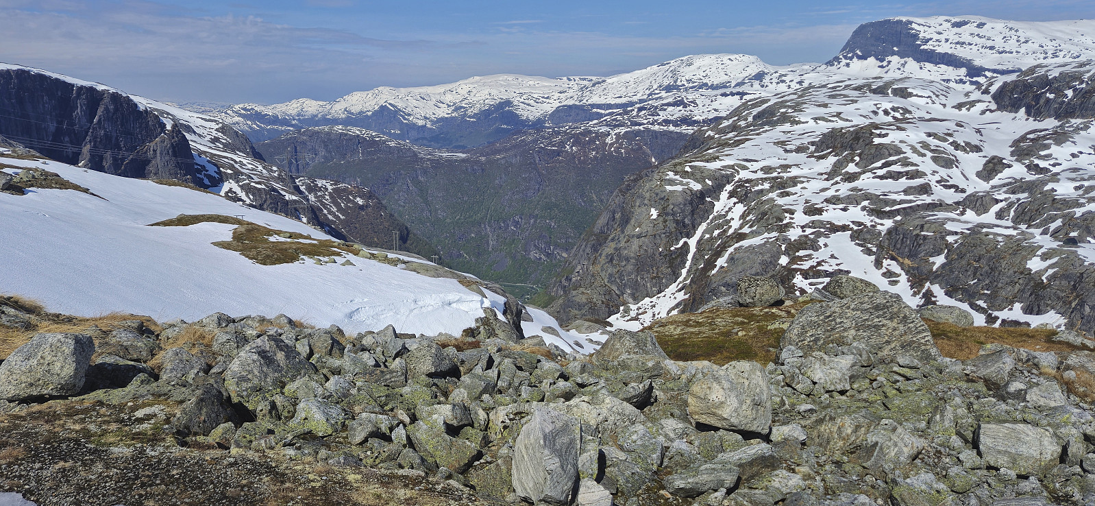
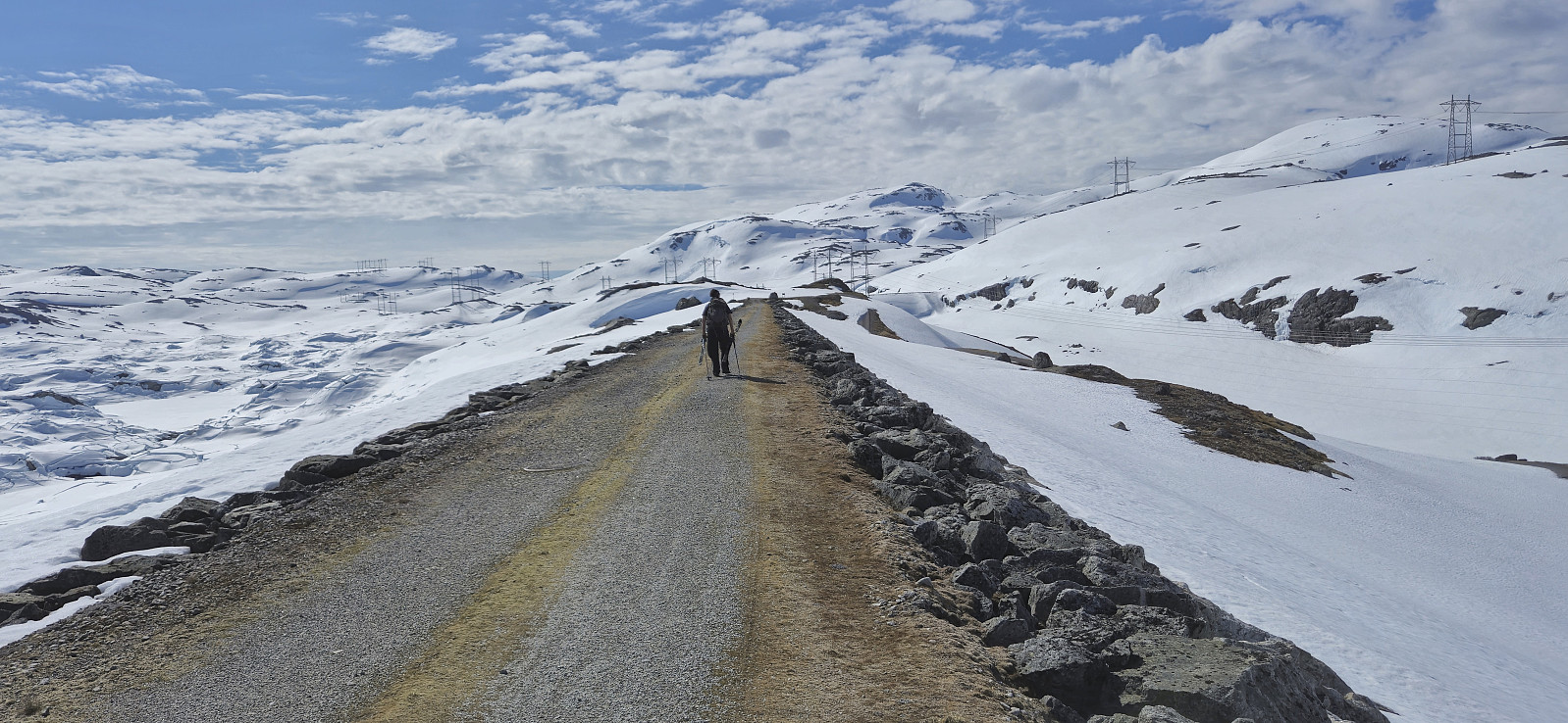
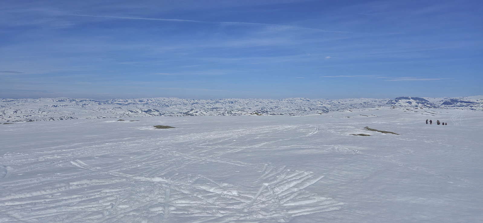
For the second Sunday in a row I caught an early train to Voss to going skiing with Voss Utferdslag. This time our goal was Onen in Ulvik/Eidfjord. At 08:00 we were transported by bus from Voss to Osa and then up to Austdalen p-plass at around 760 meters above the sea level. During the summer it is possible to drive much further but today we could put on the skies only a couple hundred meters after leaving the parking lot.
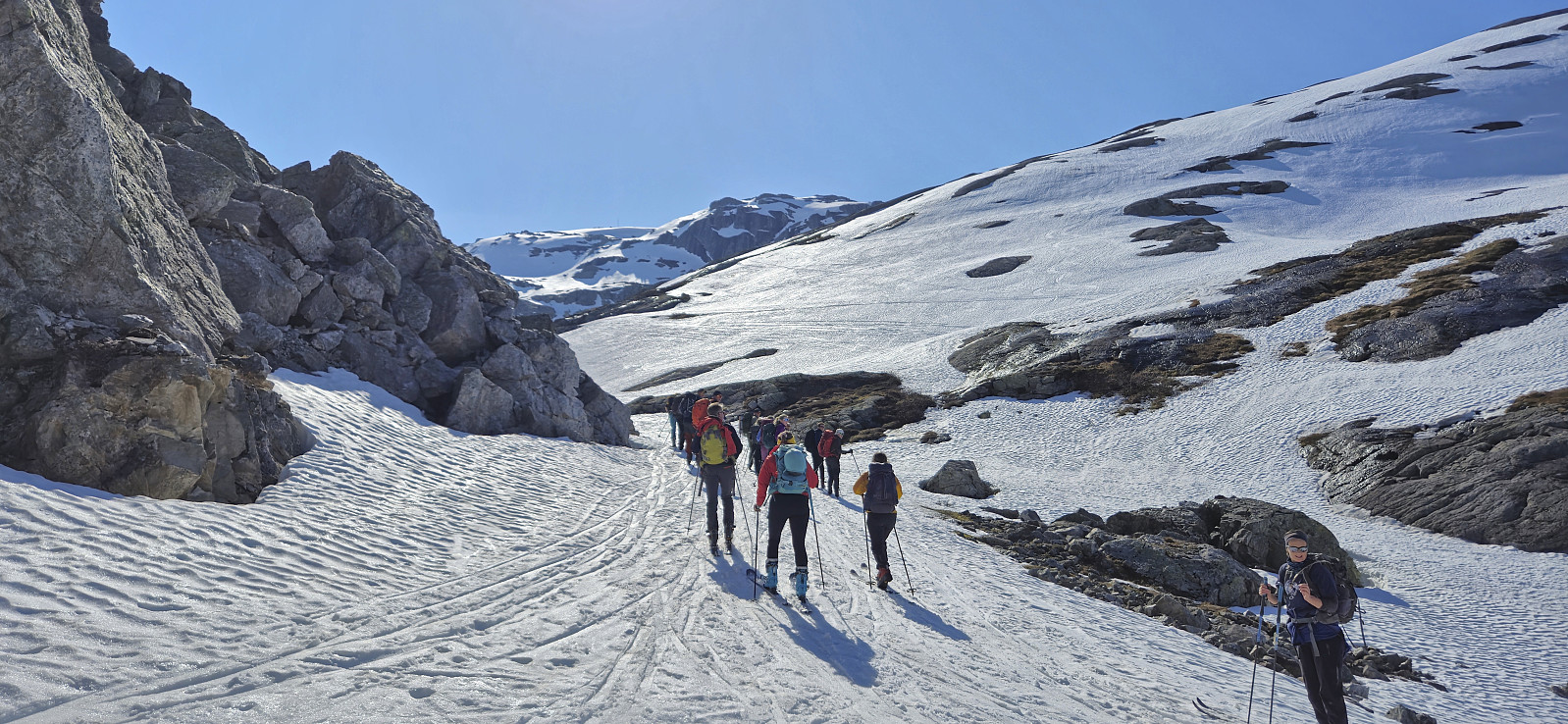
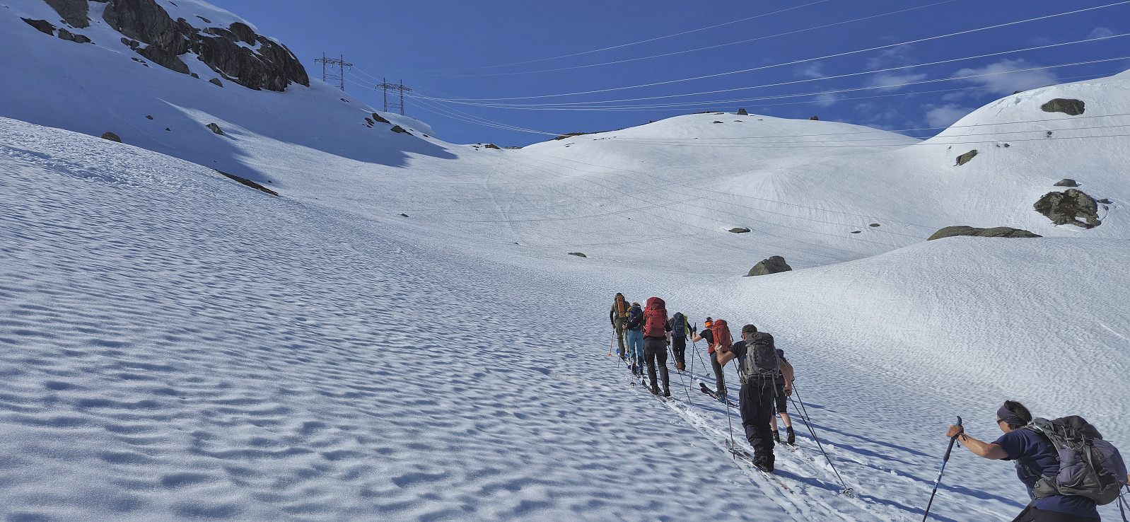
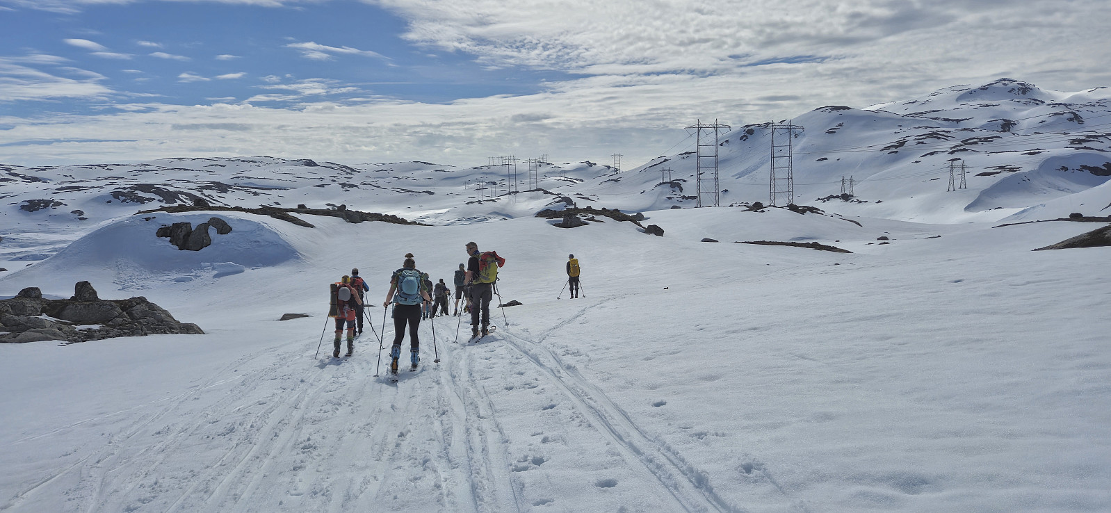
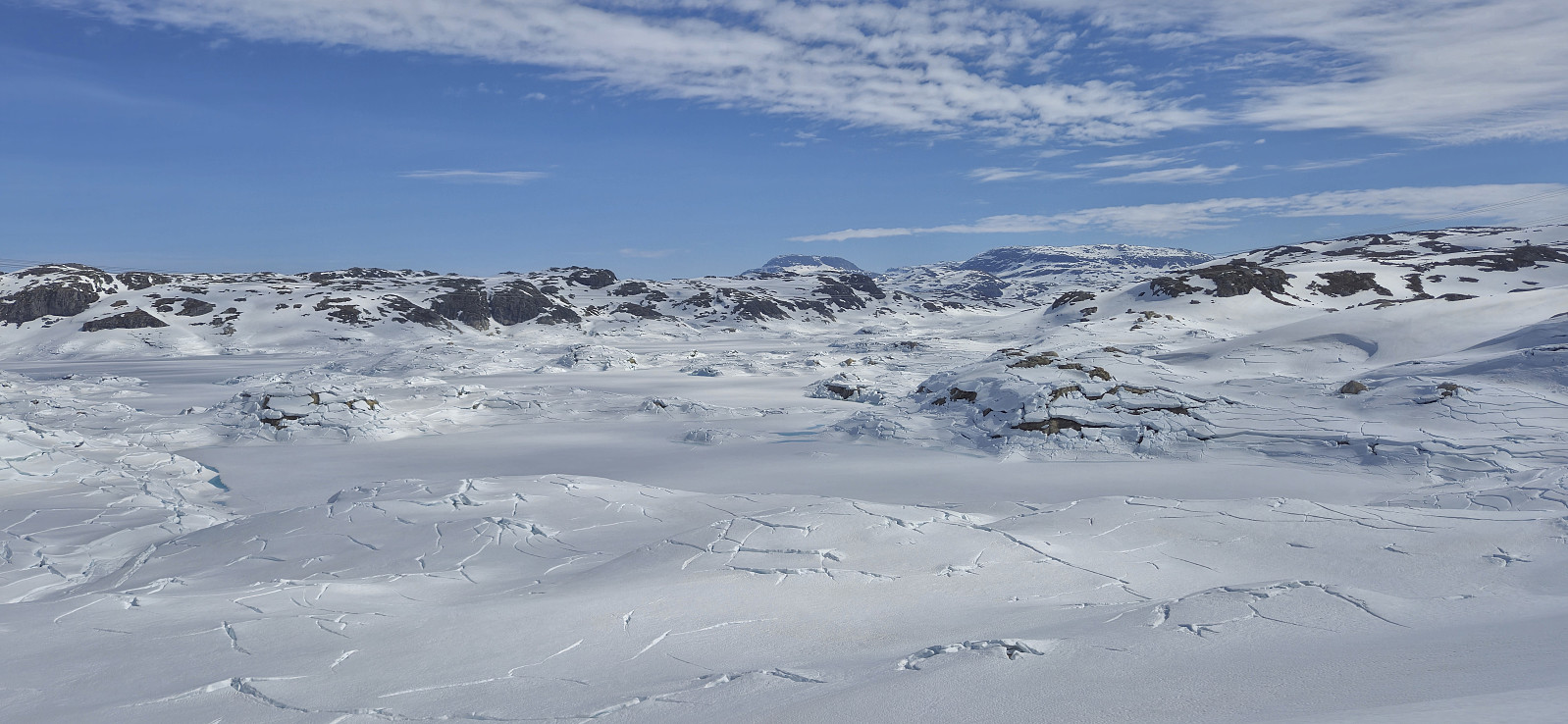
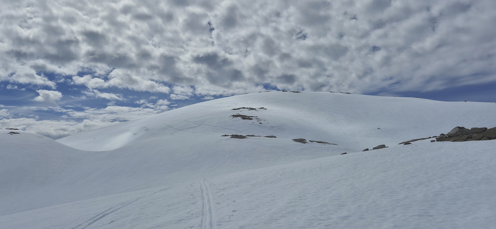
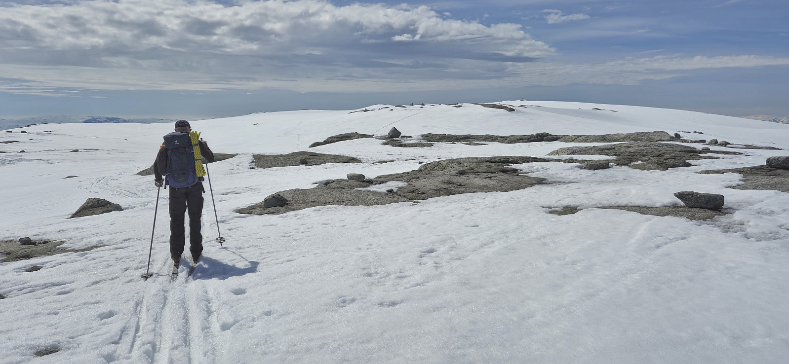
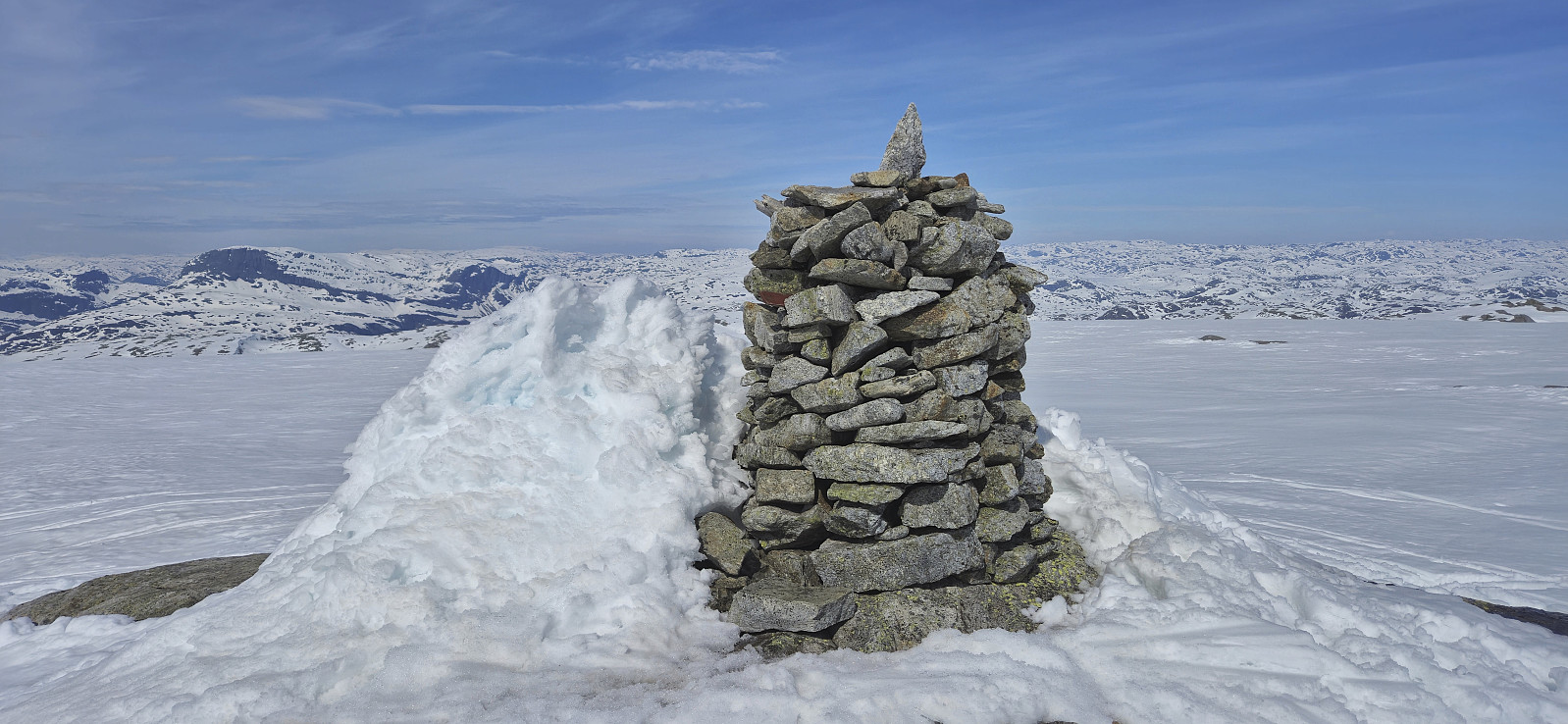
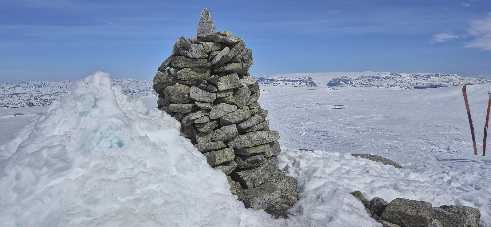
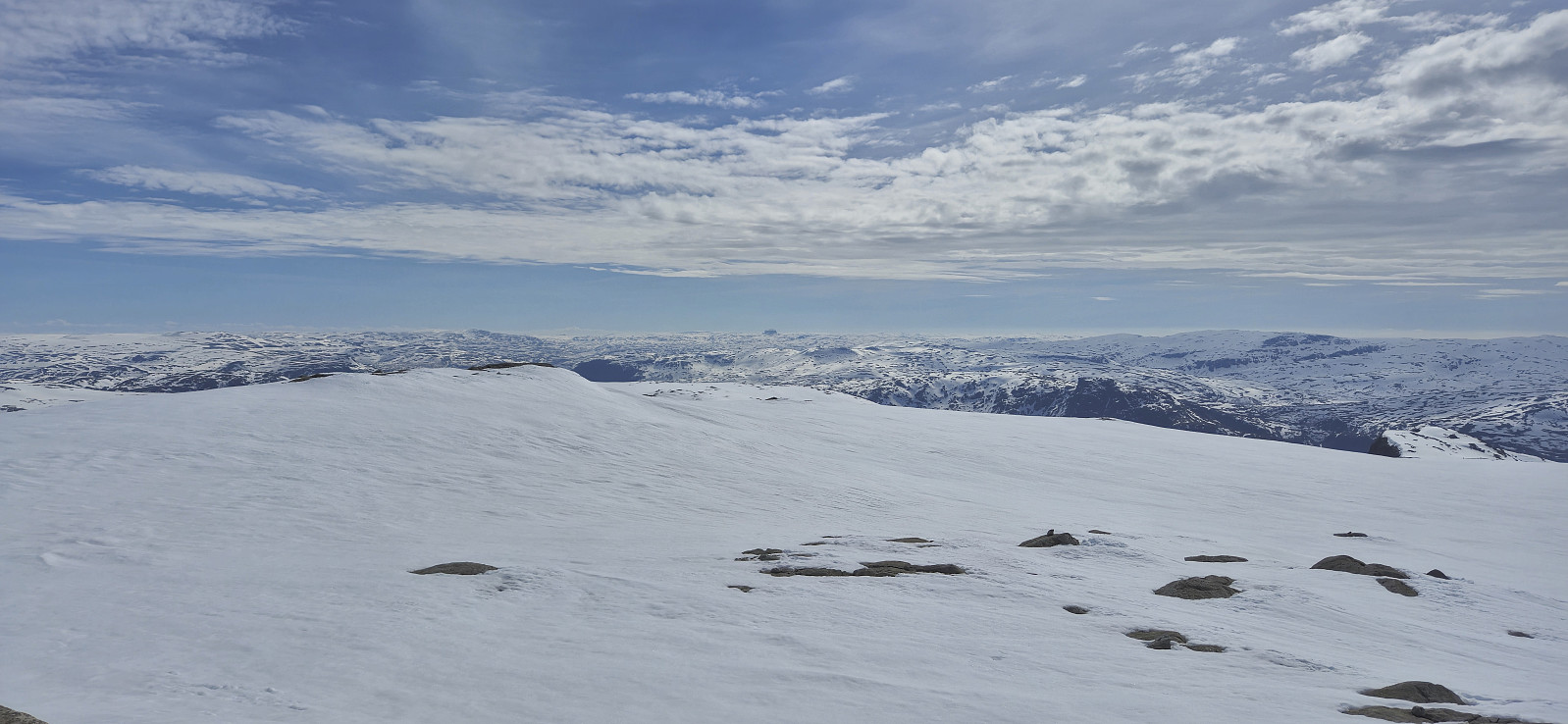
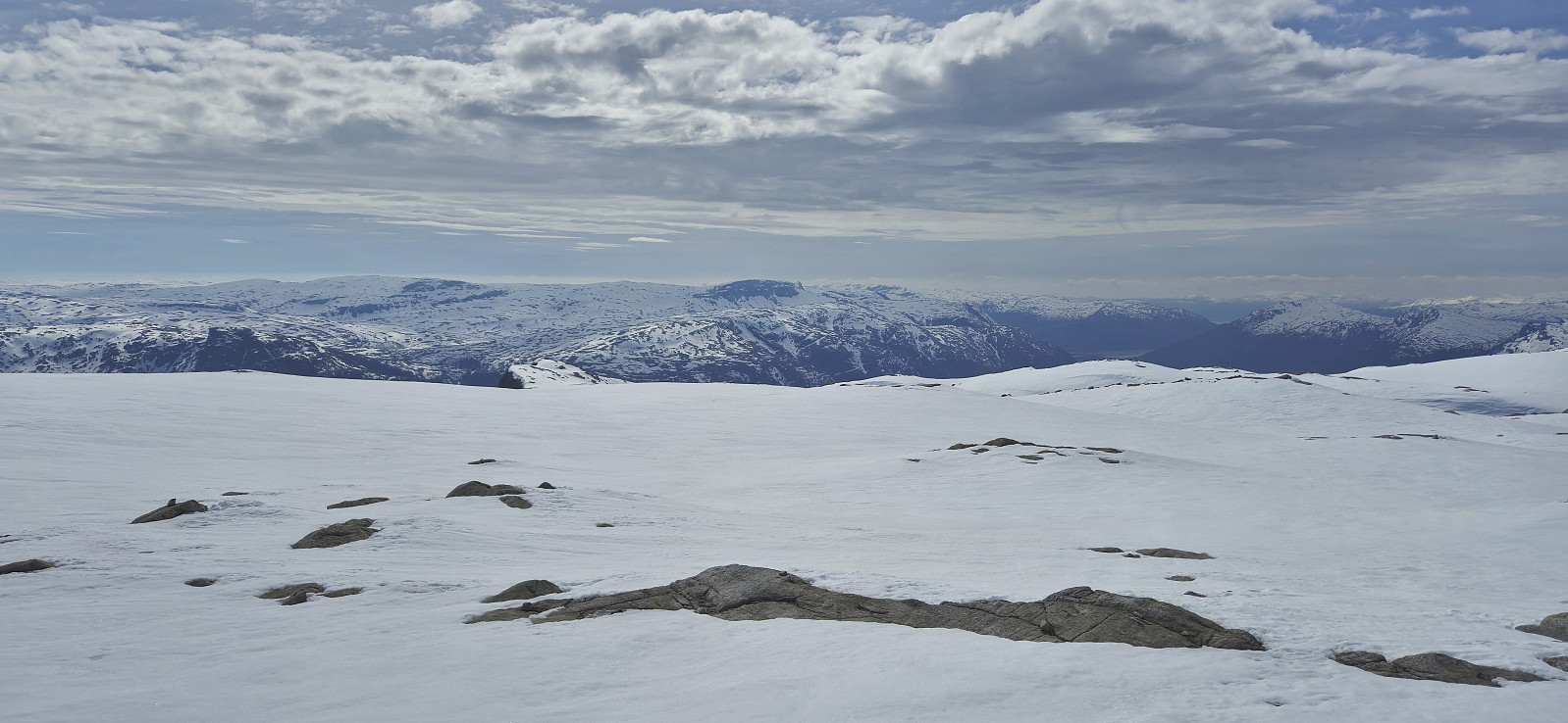
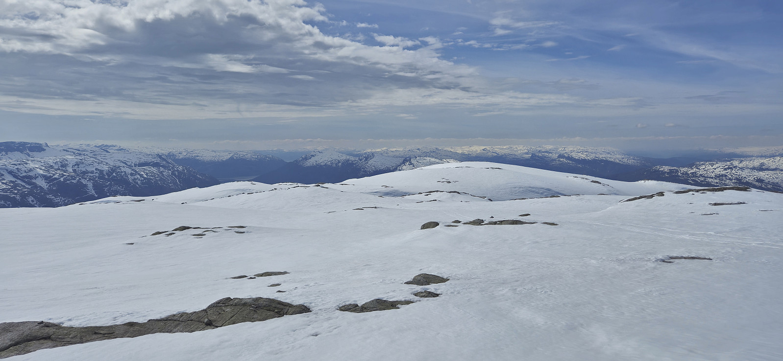
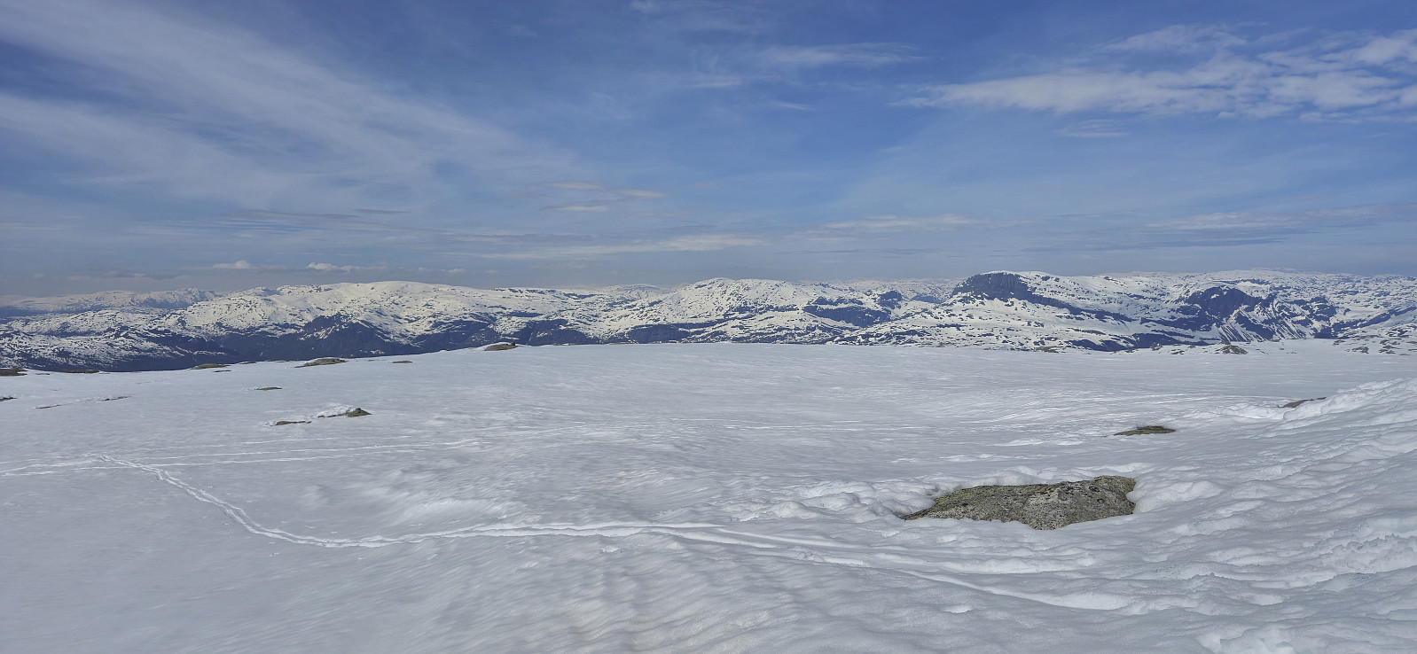
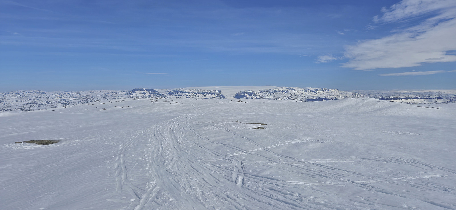
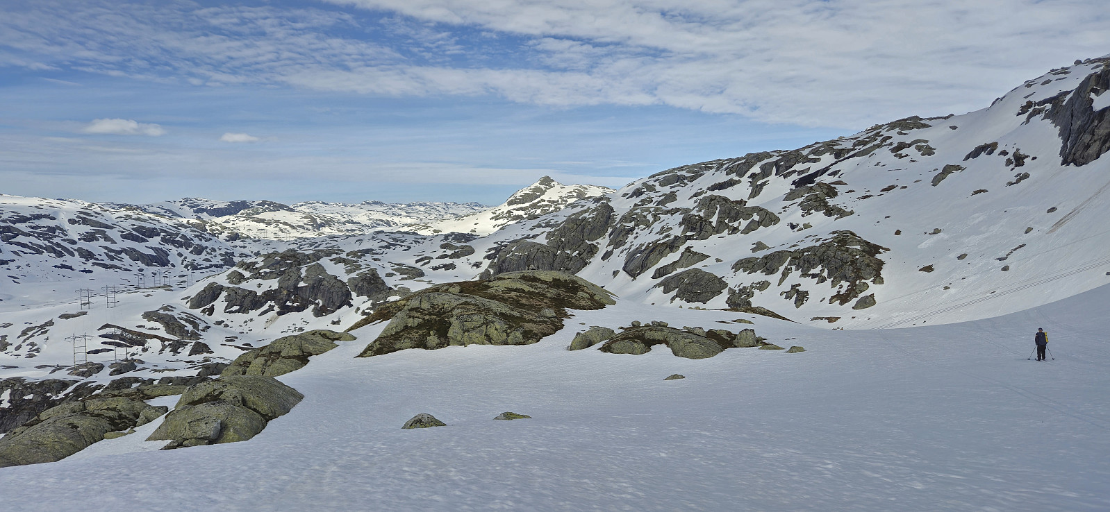
We followed the road to Austdølvatnet before taking a shortcut up to Langvatnet. When walking along the dam we briefly had to take of the skis a couple of times but after a lunch break next to the lake we could put the skis back on and begin the final ascent to the summit. The summit was reached without any issues and provided an excellent panoramic view. After a short break next to the summit cairn we returned the same way, including another extended break next to Langvatnet.
In summary, a very nice skiing trip that can be highly recommended.
| Start date | 12.05.2024 09:42 (UTC+01:00 DST) |
| End date | 12.05.2024 17:22 (UTC+01:00 DST) |
| Total Time | 7h 39min |
| Moving Time | 4h 20min |
| Stopped Time | 3h 18min |
| Overall Average | 2.7km/h |
| Moving Average | 4.8km/h |
| Distance | 20.7km |
| Vertical meters | 1,089m |


User comments
Amazing, ...
Written by HHauser 14.05.2024 15:14... and thanks for sharing! Wow!
Re: Amazing, ...
Written by hbar 16.05.2024 01:11Thanks Helwig! And I did not mention it in the report, but the drive up to the parking lot from Osa is also an experience in itself!
Re: Re: Amazing, ...
Written by HHauser 16.05.2024 10:47Especially in a bus, I assume! :-)
PS: har vært der oppe før -- ikke mange veier som fører så høyt opp!