
Gaukavarden and Hinderåsen (09.05.2024)

Written by hbar (Harald Barsnes)

| Start point | Hardangervegen v/Haukeland (78m) |
|---|---|
| Endpoint | Hardangervegen v/Espeland (75m) |
| Characteristic | Hillwalk |
| Duration | 1h 23min |
| Distance | 4.8km |
| Vertical meters | 209m |
| GPS |
|
| Ascents | Gaukavarden (236m) | 09.05.2024 |
|---|---|---|
| Hinderåsen (229m) | 09.05.2024 |
Gaukavarden and Hinderåsen
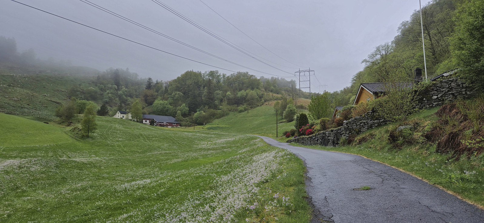
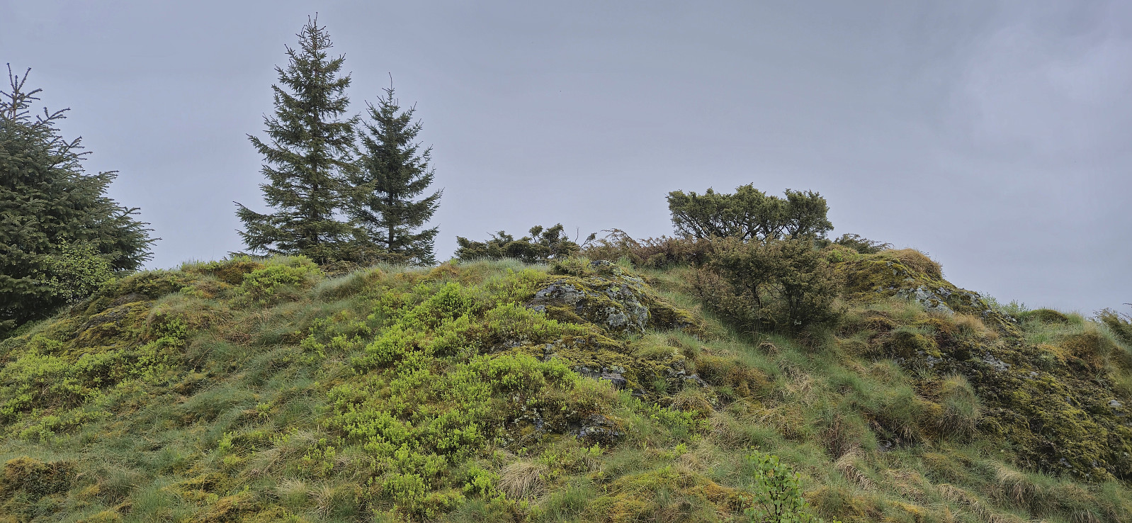
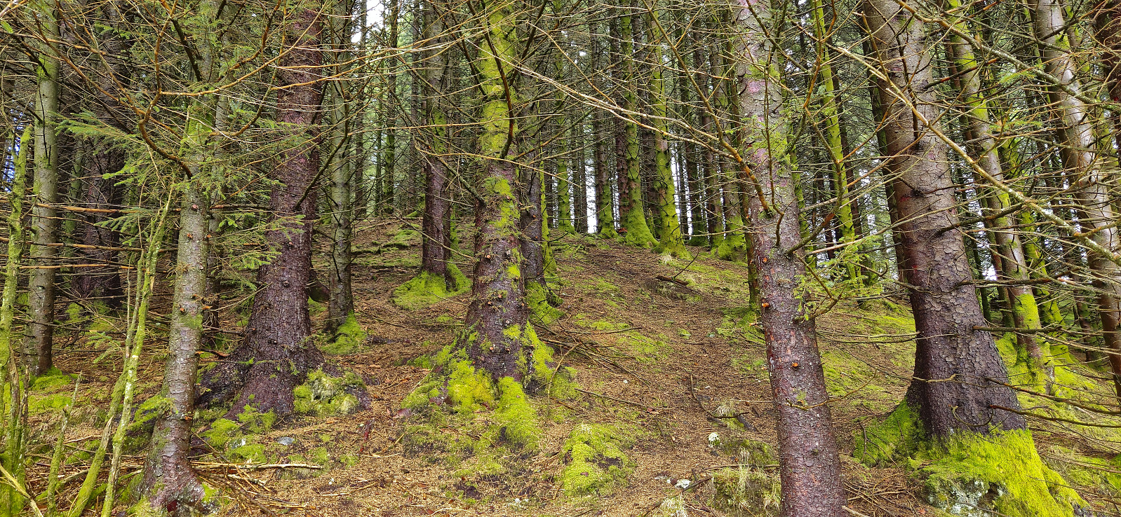
A short hike in Arna to visit Gaukavarden and Hinderåsen (the latter added as its own PB-element). I got off at "Haukeland sør" and followed Brattlandsvegen until just west of the summit. From there I headed off-trail to the summit which was easily reached. The views were limited by the low-hanging clouds but I could at least see Haukelandsvatnet.
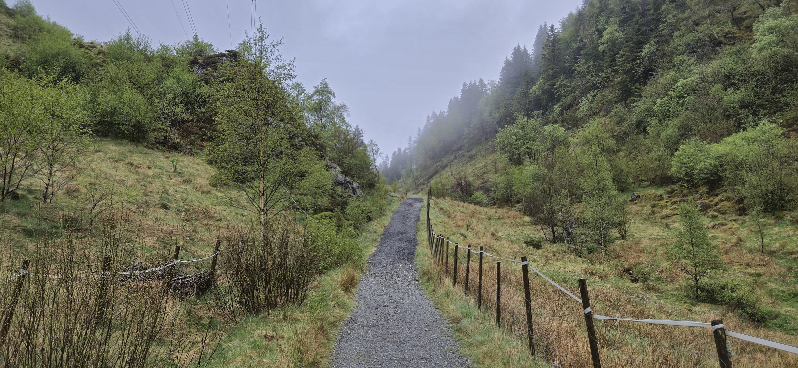
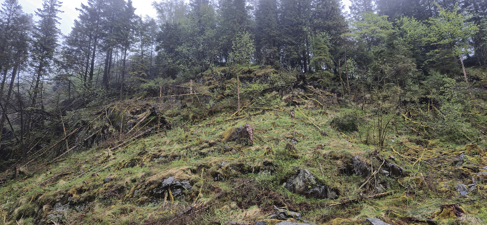
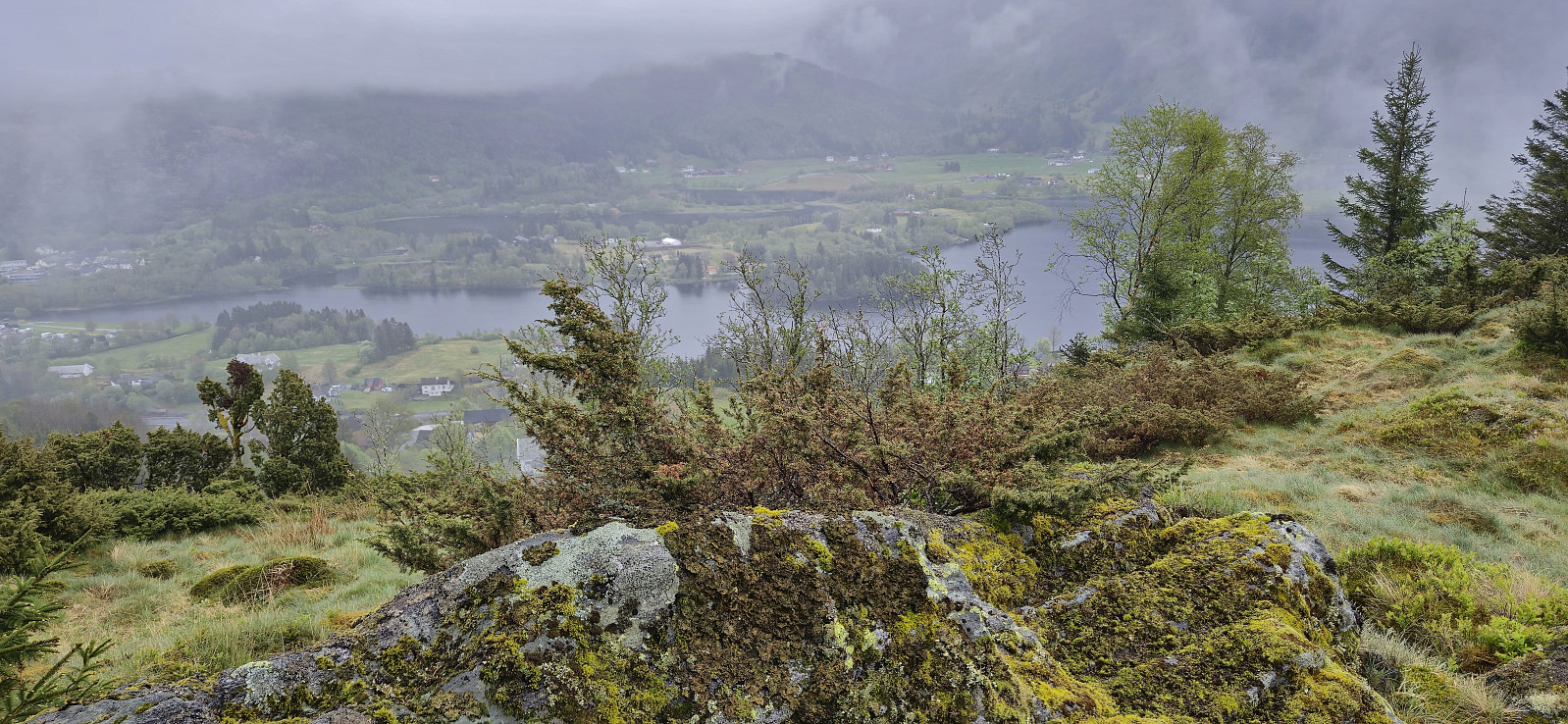
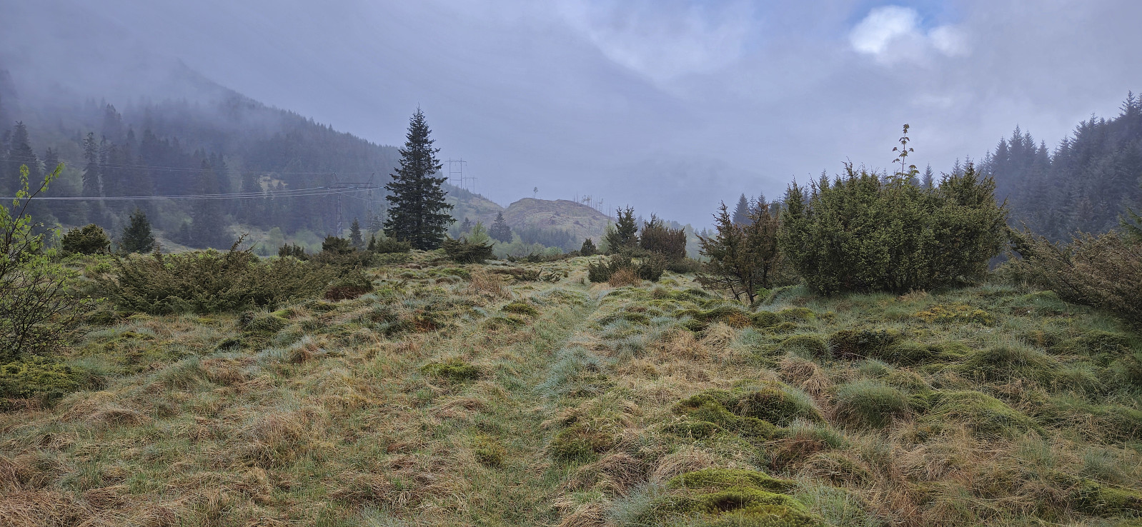
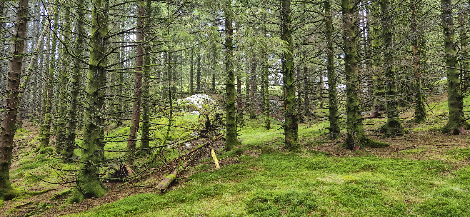
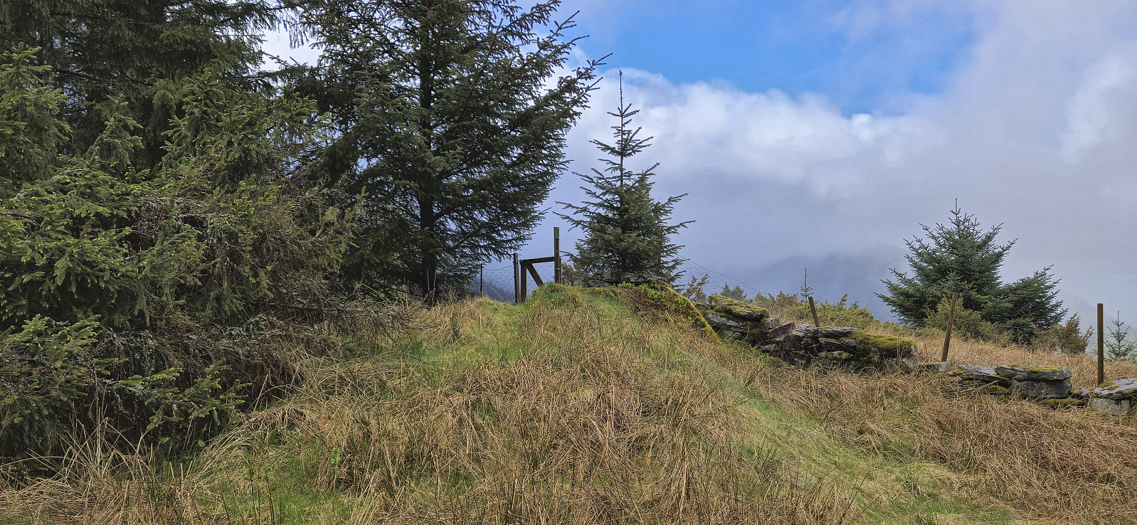
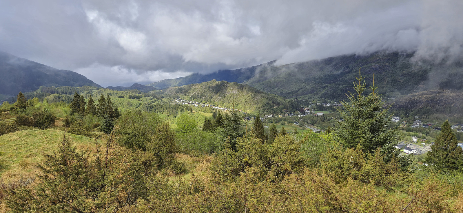
I descended north along a weak trail that turned into a tractor road before connecting with the gravel road north of Gaukavarden. Next, I made a quick visit of Hinderåsen, which despite its name (directly translates into "obstacle hill"), could be ascended without any issues. It even provided ok views to the north with Loneheia visible in the distance.
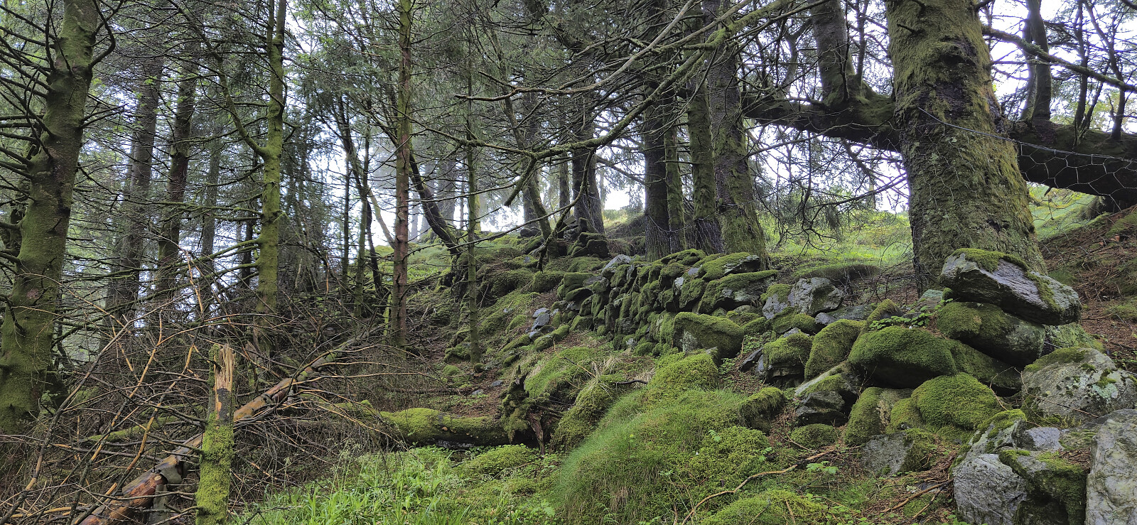
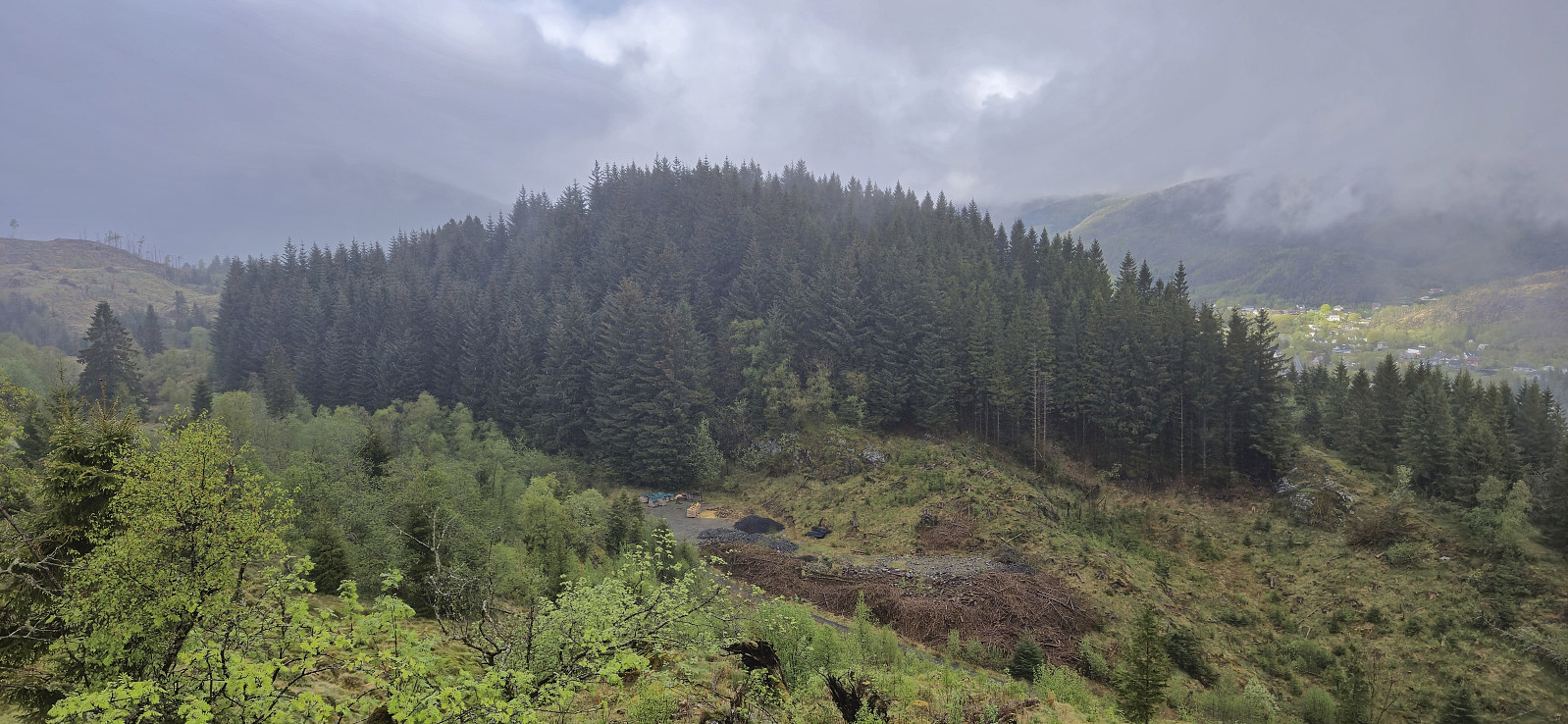
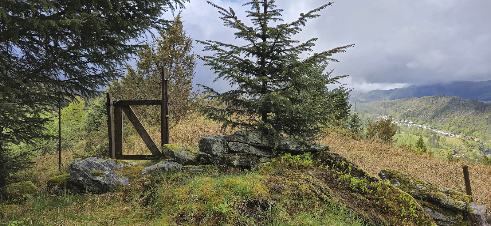
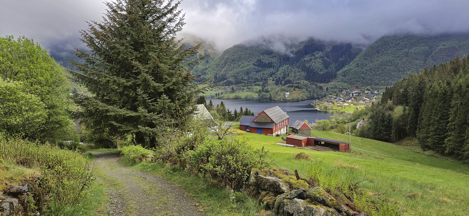
While there was a weak trail continuing north from the highest point, after passing through a gate, I decided to not take any chances and returned my ascent route. To complete the hike I followed the gravel road southeast to Kalihaugen and then the paved road northeast to Lone and Espeland, from where I took the bus (and train) back home.

| Start date | 09.05.2024 16:48 (UTC+01:00 DST) |
| End date | 09.05.2024 18:12 (UTC+01:00 DST) |
| Total Time | 1h 23min |
| Moving Time | 1h 18min |
| Stopped Time | 0h 4min |
| Overall Average | 3.5km/h |
| Moving Average | 3.7km/h |
| Distance | 4.8km |
| Vertical meters | 209m |


User comments