
Four trig markers west and south of Flesland (03.02.2024)

Written by hbar (Harald Barsnes)

| Start point | Bergen Lufthavn, Flesland (50m) |
|---|---|
| Endpoint | Stølshaugen (37m) |
| Characteristic | Hike |
| Duration | 3h 19min |
| Distance | 14.8km |
| Vertical meters | 325m |
| GPS |
|
| Visits of other PBEs | Bergen Lufthavn, Flesland (50m) | 03.02.2024 |
|---|---|---|
| Espeland søyle (50m) | 03.02.2024 | |
| Håvardstun søyle (58m) | 03.02.2024 | |
| Kletten søyle (73m) | 03.02.2024 | |
| Sletten søyle (49m) | 03.02.2024 |
Four trig markers west and south of Flesland
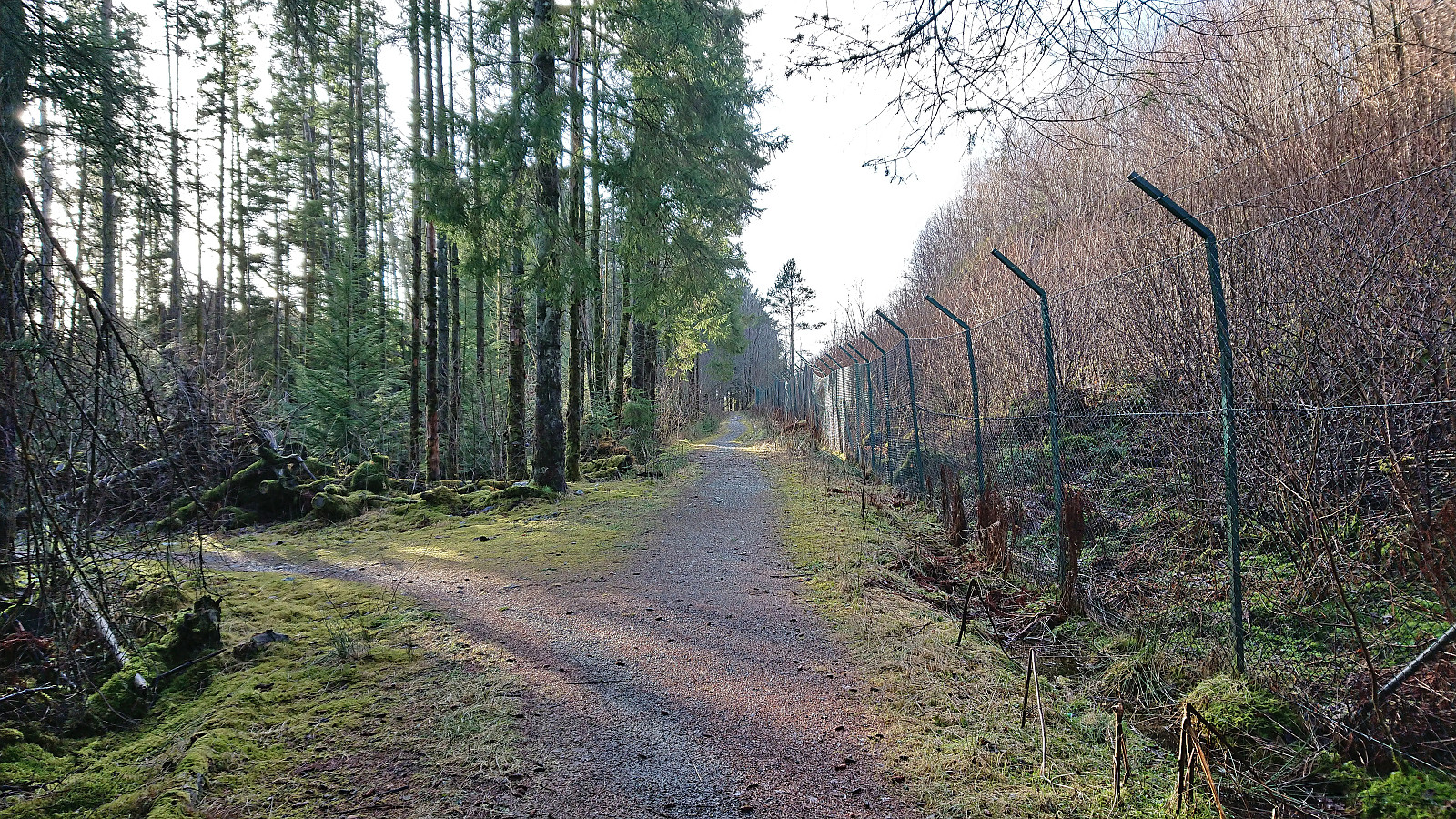
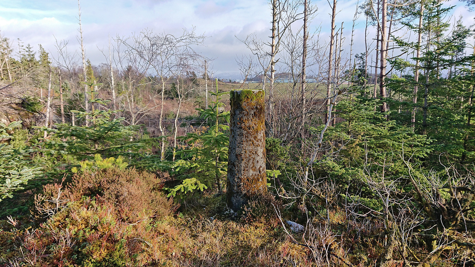
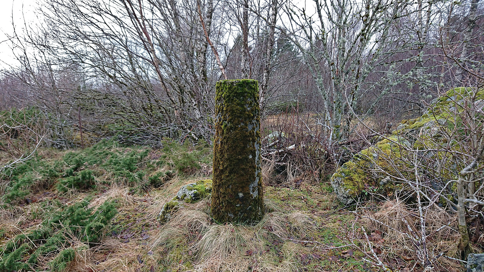
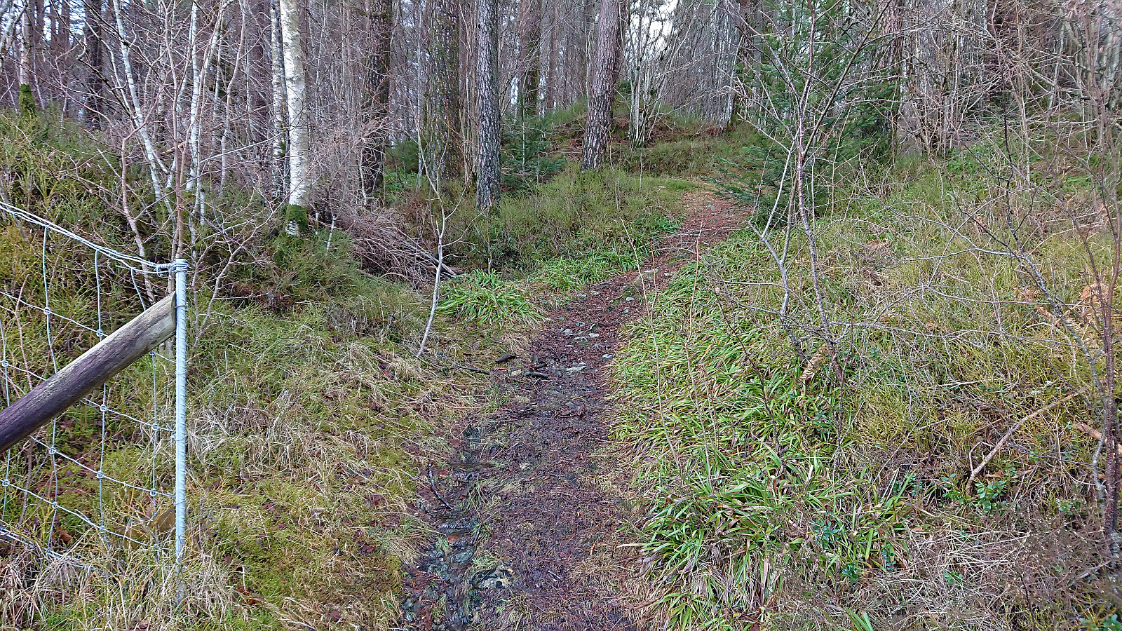
This Saturday I used the Søyler (fastmerker) i Bergen list as inspiration to visit some new areas in Bergen. Started by taking Bybanen to Flesland and finding my way to Sletten søyle. Note that to get to the trig marker I had to step over two fences and the final stretch was quite wet and contained lots of fallen trees.
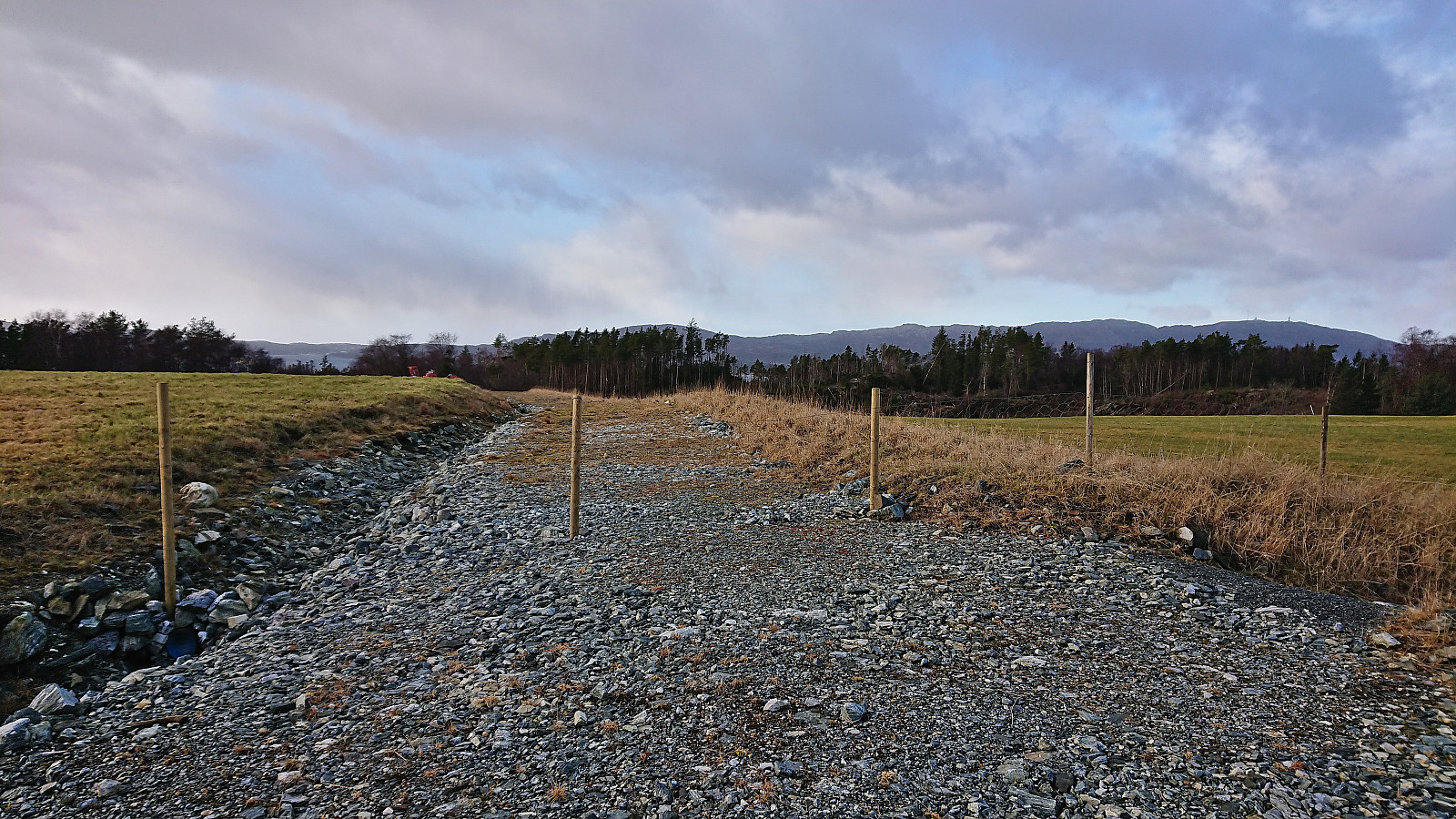
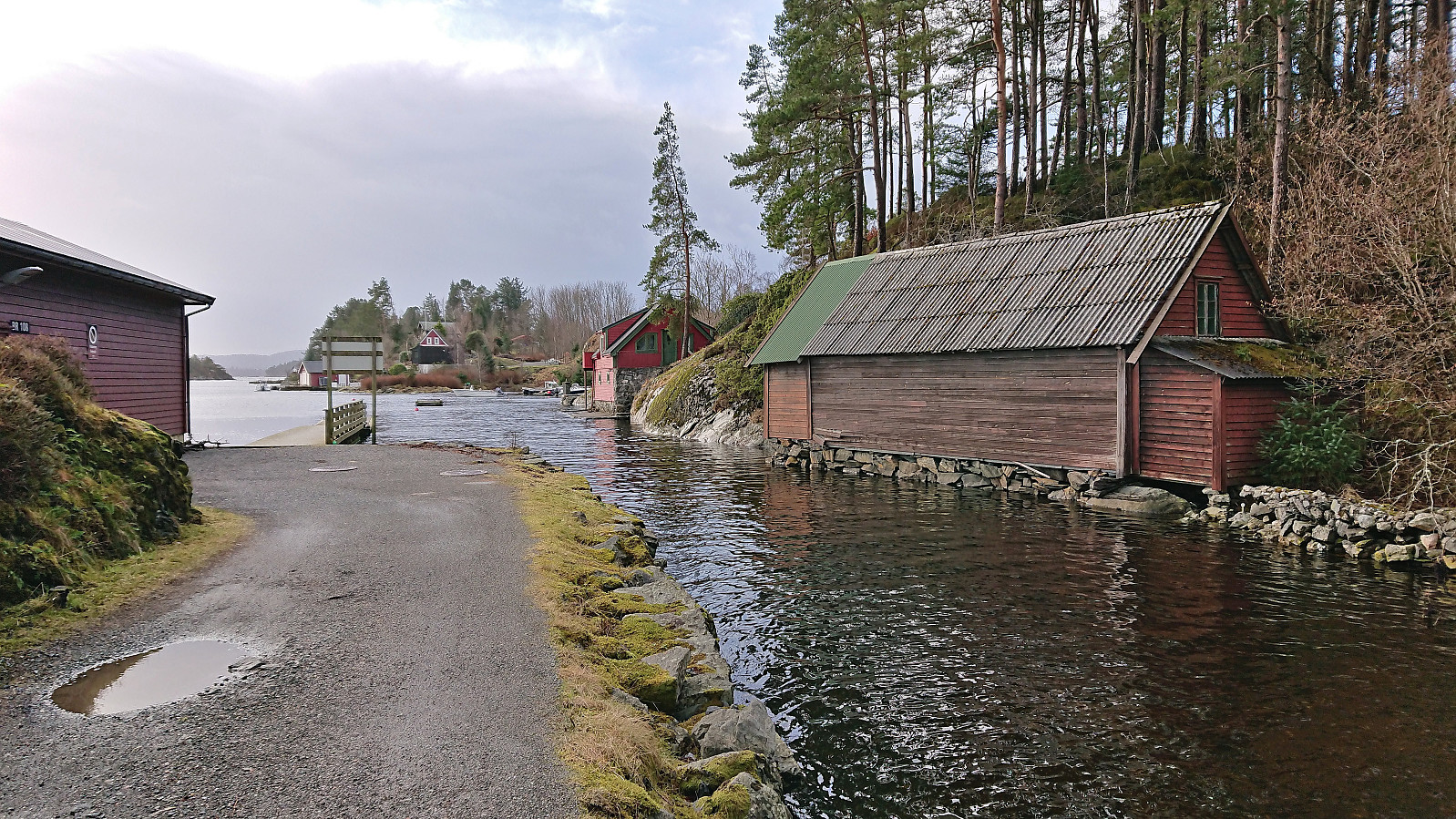
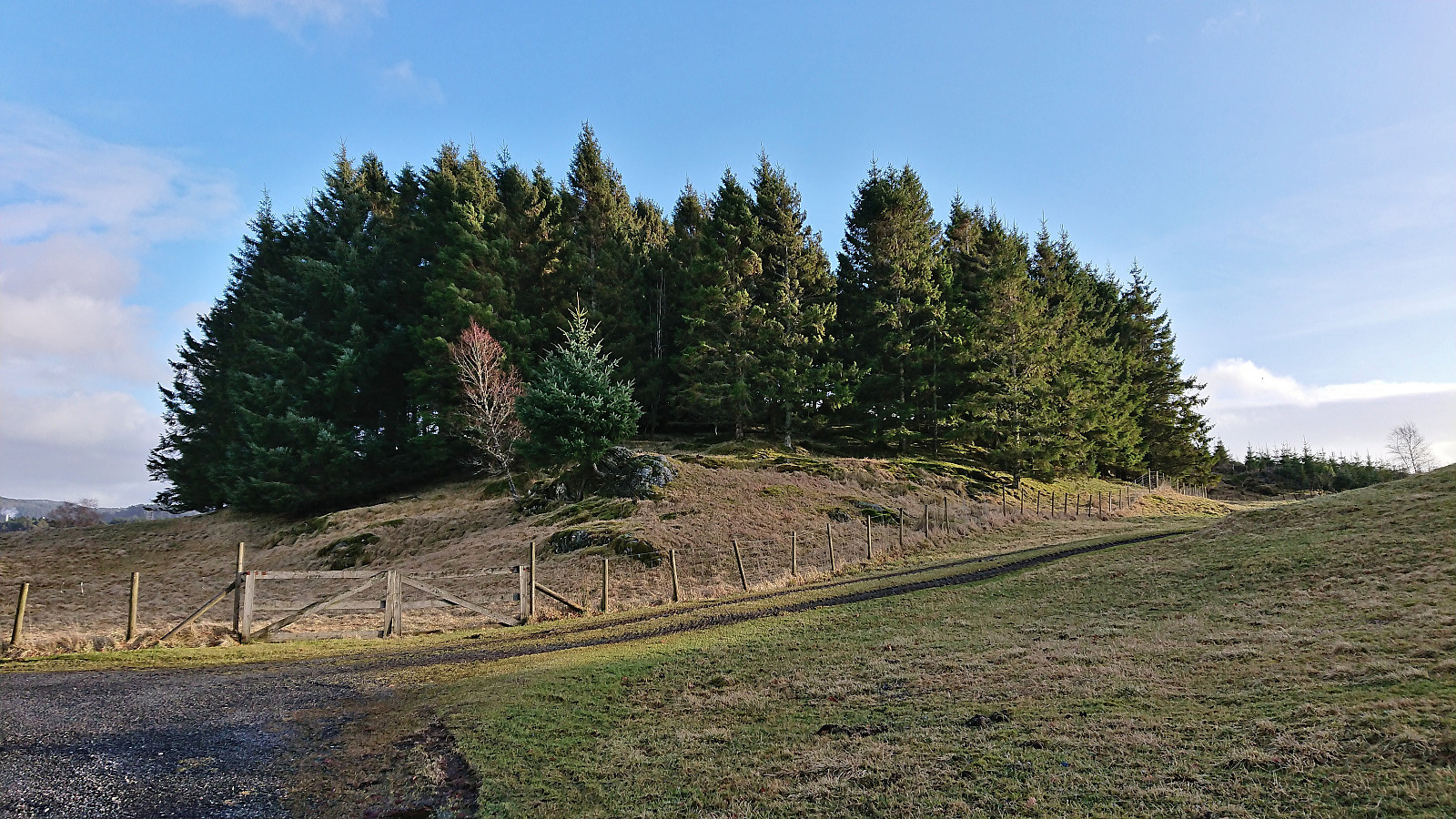
Next, I headed to Espeland søyle via Lønningshavn. Also this trig marker could be easily visited from the southeast. There were even traces of an old road just east of the small hill containing the trig marker.
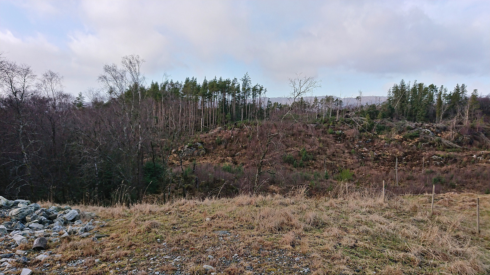
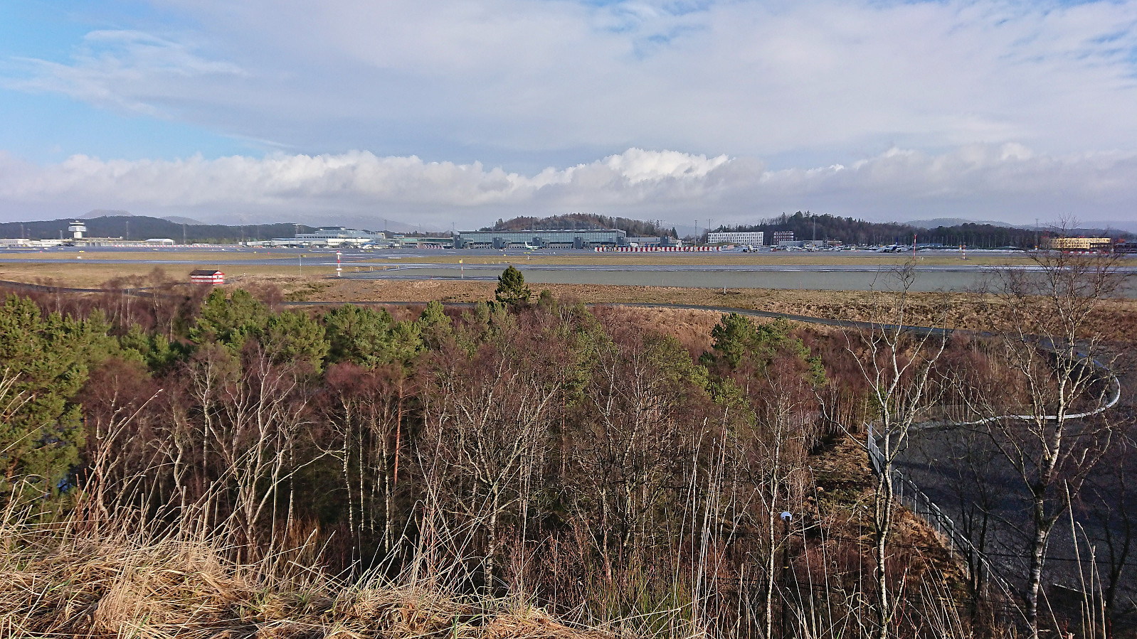
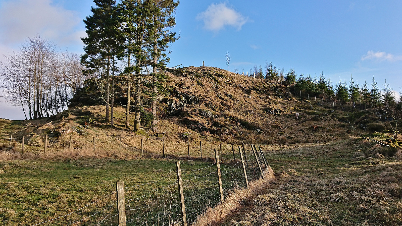
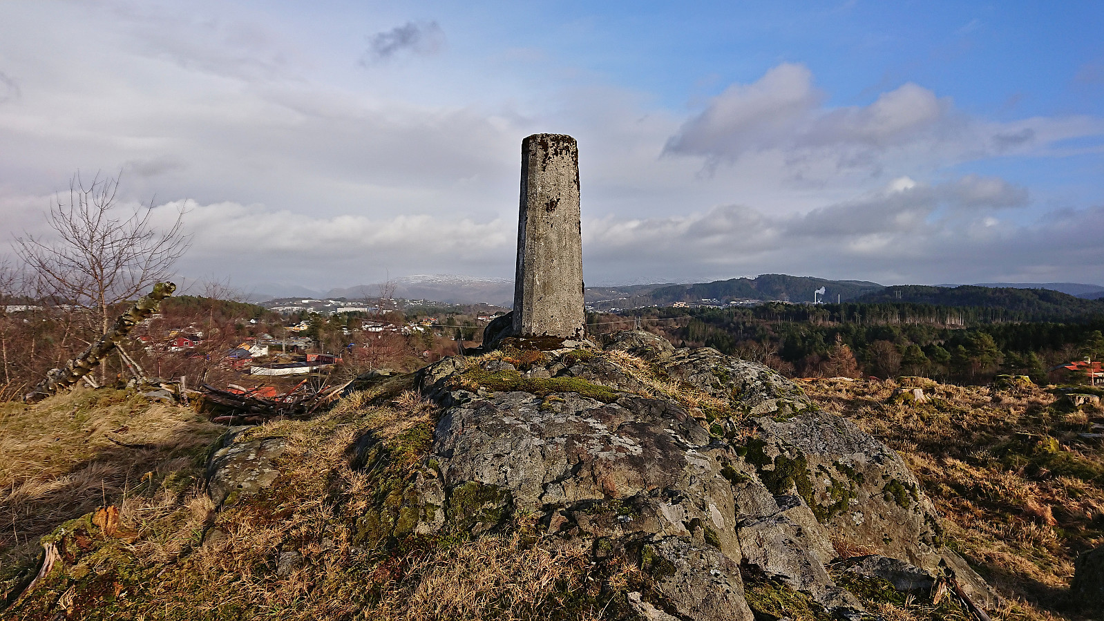
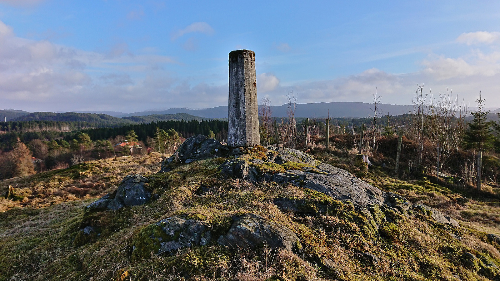
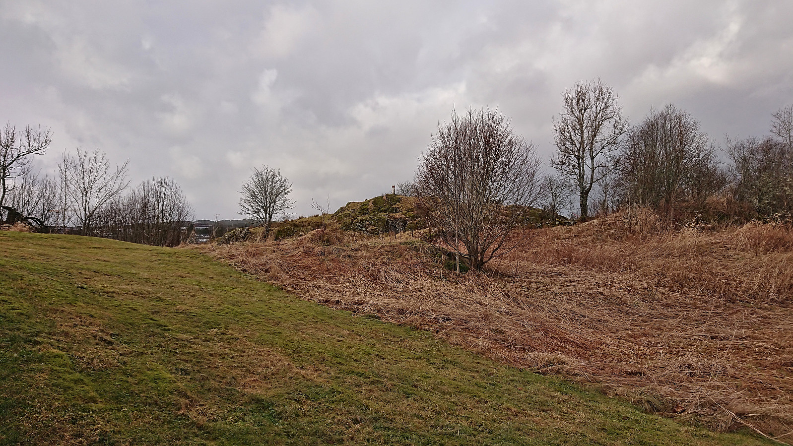
I returned to the road and continued east to Kletten søyle. Thanks to an open gate west of Kletten, this trig marker did not present any real challenges either and the small hill also provided the best views of the day.
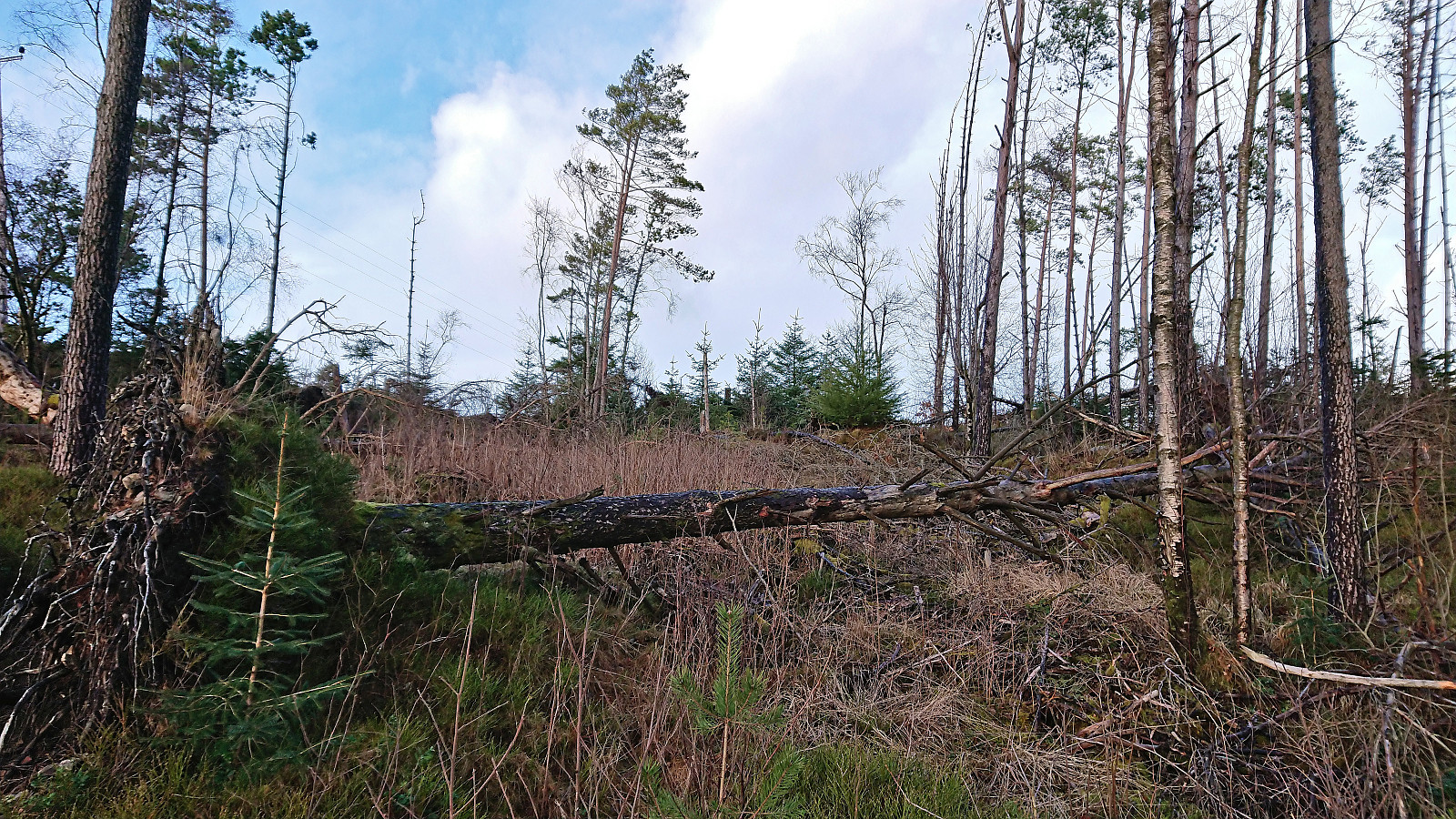
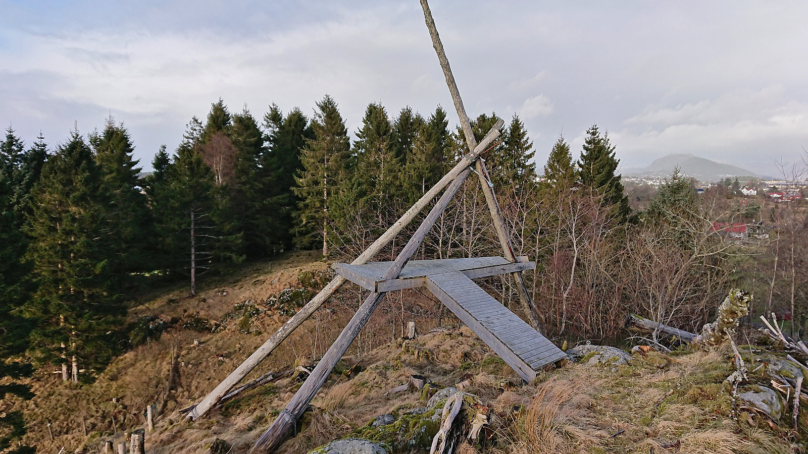
The final planned trig marker visit was Håvardstun søyle, but on the way there I also made a quick stop at Moahagen (73.5 m, 32V 294034 6689309). Partly as there was a trail all the way to the highest point (and to be on the safe side in case it is added as its own PB-element in the future).
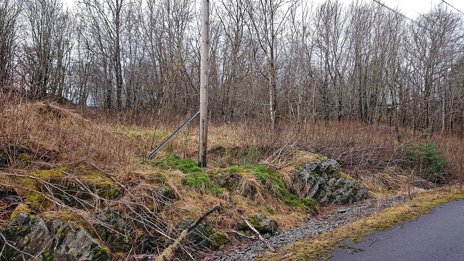
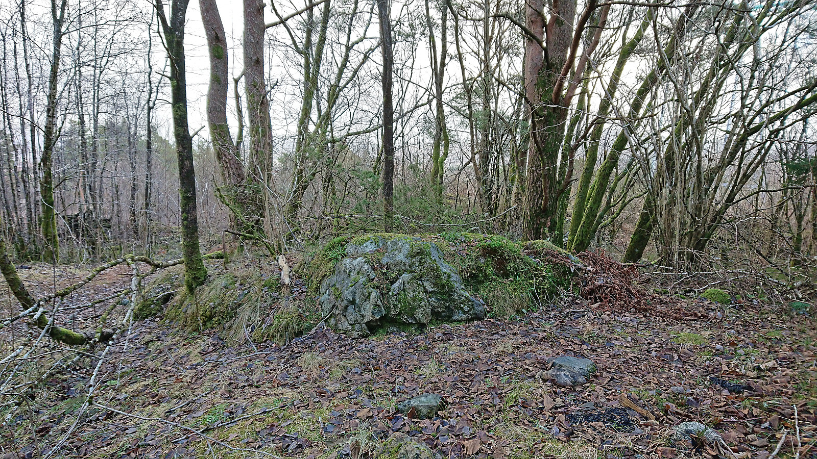
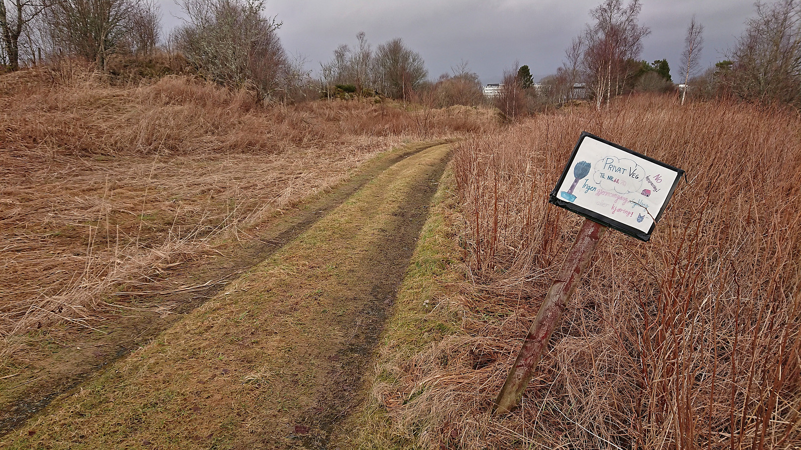
While the three previous trig markers had all been relatively straightforward to visit, Håvardstun søyle was slightly more complicated. The reason being a no trespassing sign. While the sign was mainly for my planned route northeast and not for the marker itself, the marker was also quite close to a house and on the other side of a fence. I decided to be satisfied with having seen the marker and instead put my mind to finding an alternative route to a suitable bus stop, ending up returning almost to Moahagen before crossing the main road and taking the bus to the city center from Stølshaugen.
| Start date | 03.02.2024 12:36 (UTC+01:00) |
| End date | 03.02.2024 15:55 (UTC+01:00) |
| Total Time | 3h 19min |
| Moving Time | 3h 16min |
| Stopped Time | 0h 3min |
| Overall Average | 4.4km/h |
| Moving Average | 4.5km/h |
| Distance | 14.8km |
| Vertical meters | 324m |


User comments