
Sandbrekketoppen and Rambjørga (21.10.2023)

Written by hbar (Harald Barsnes)

| Start point | Nesttun sentrum (22m) |
|---|---|
| Endpoint | Ibsens gate (41m) |
| Characteristic | Hike |
| Duration | 2h 10min |
| Distance | 8.9km |
| Vertical meters | 322m |
| GPS |
|
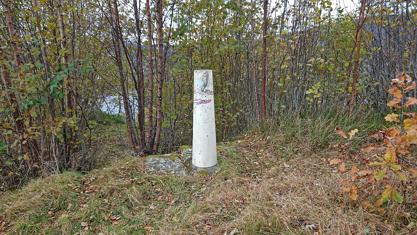
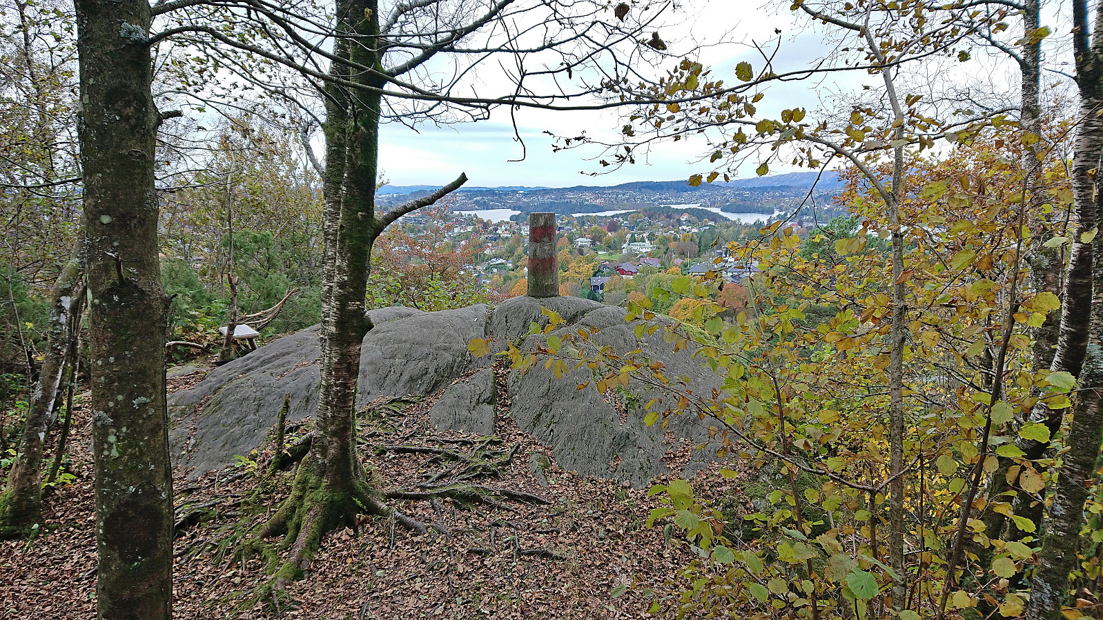
| Visits of other PBEs | Rambjørga søyle (115m) | 21.10.2023 |
|---|---|---|
| Sandbrekketoppen (82m) | 21.10.2023 |
Sandbrekketoppen and Rambjørga
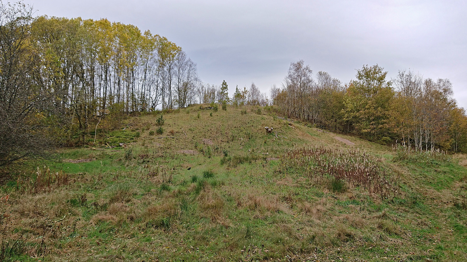
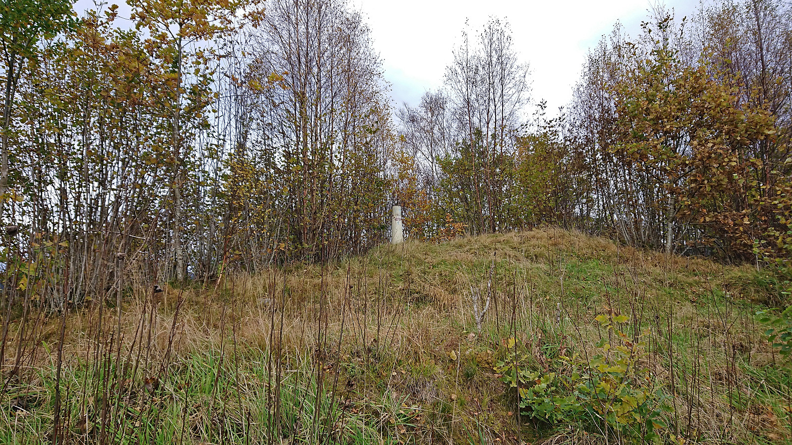
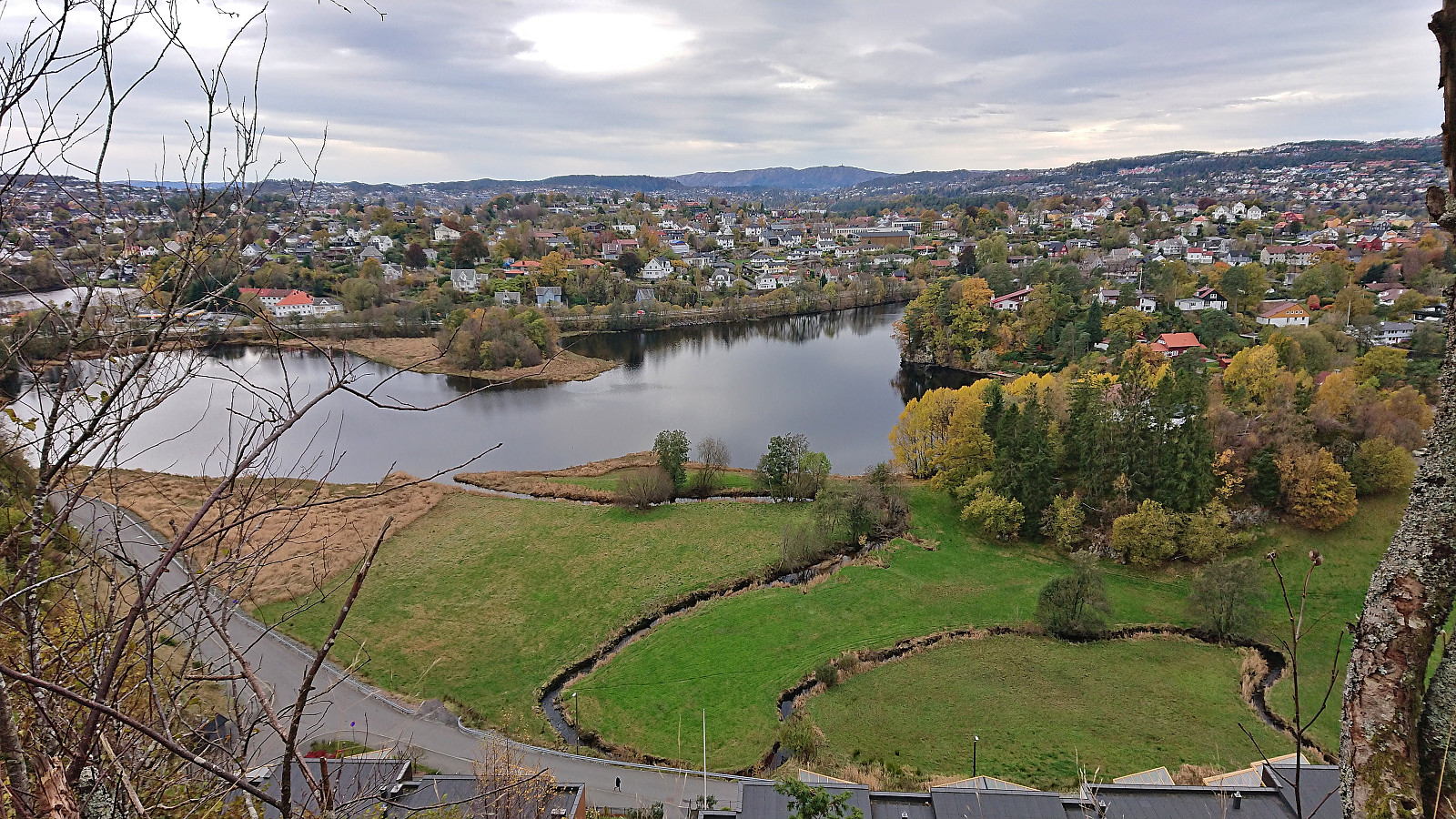
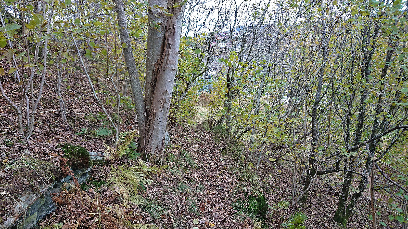
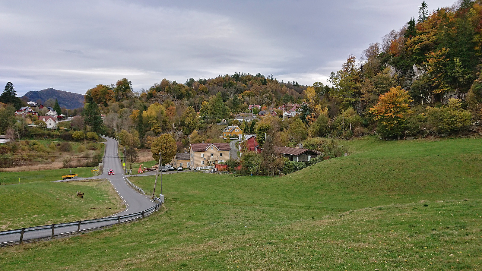
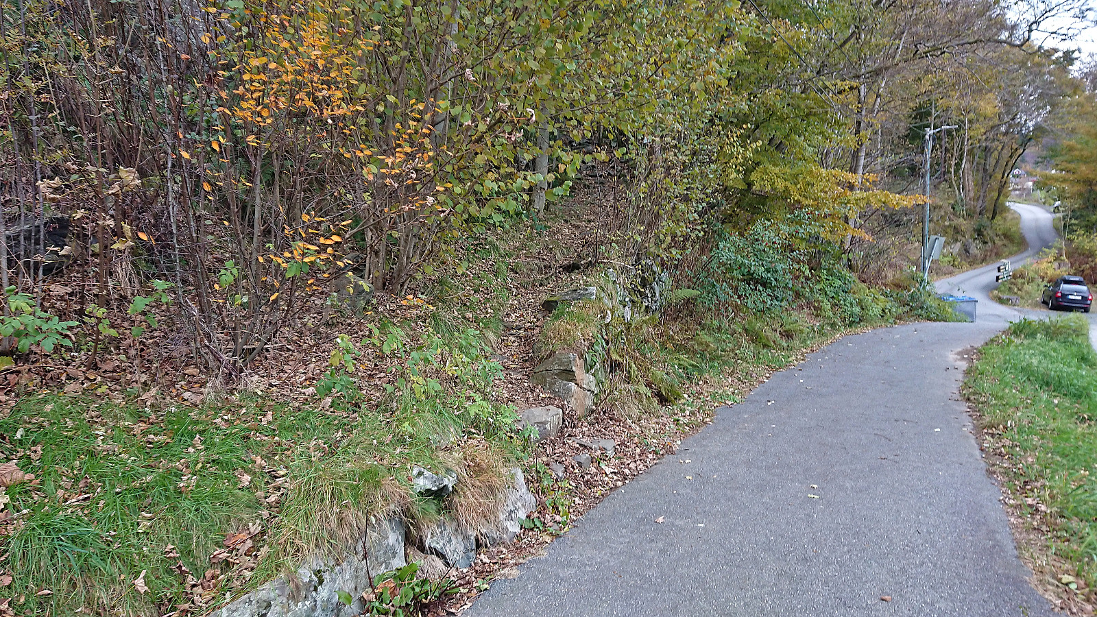
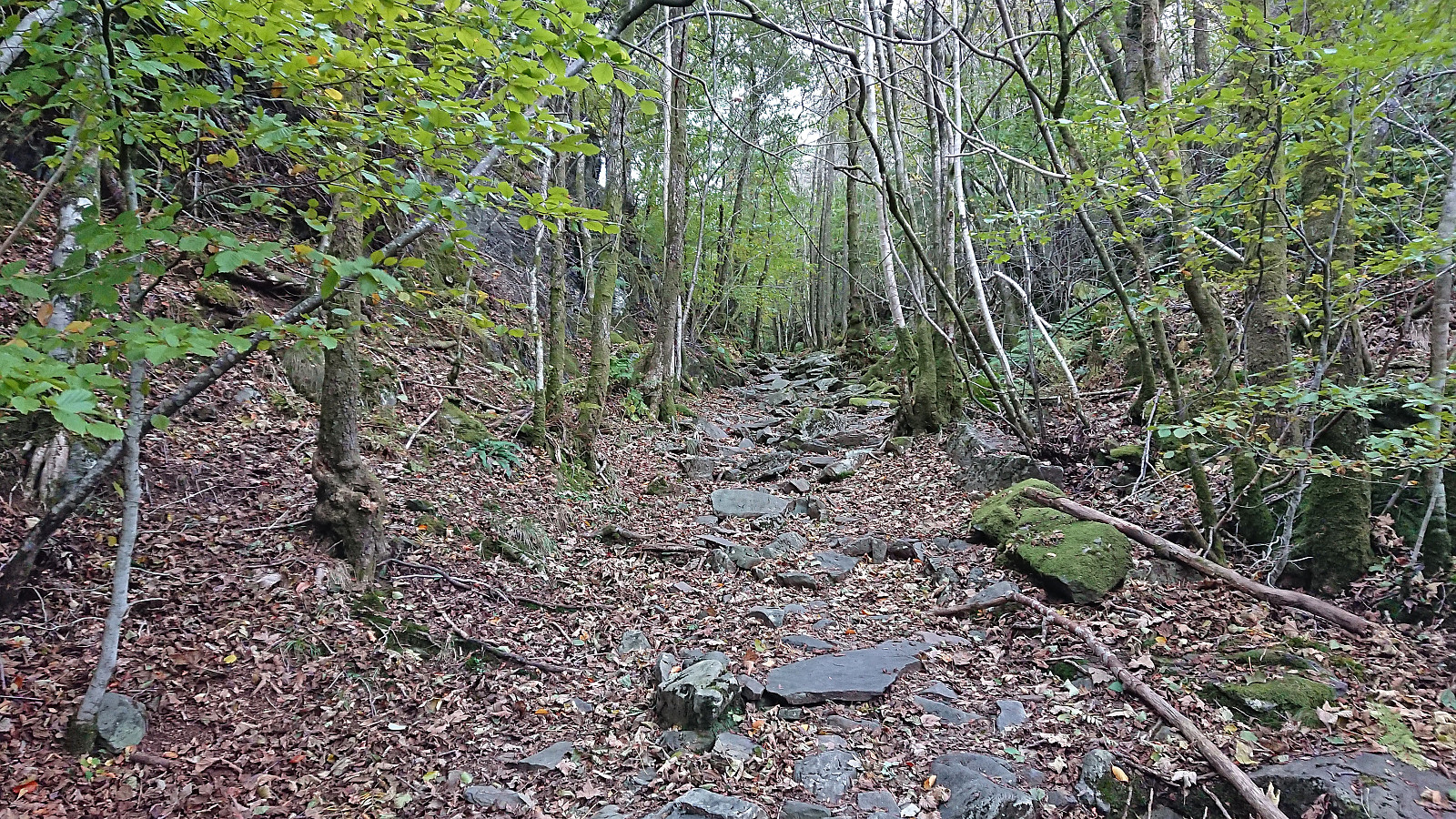
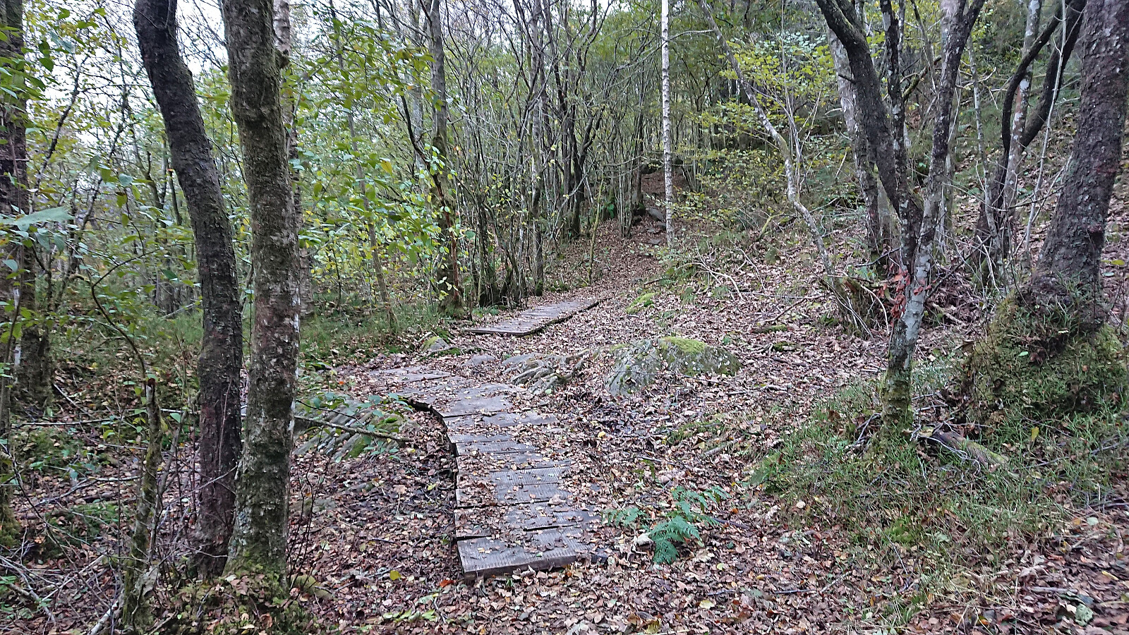
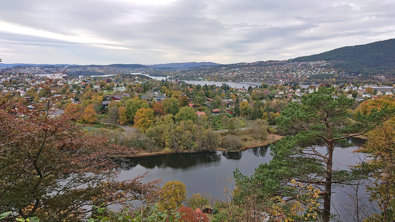
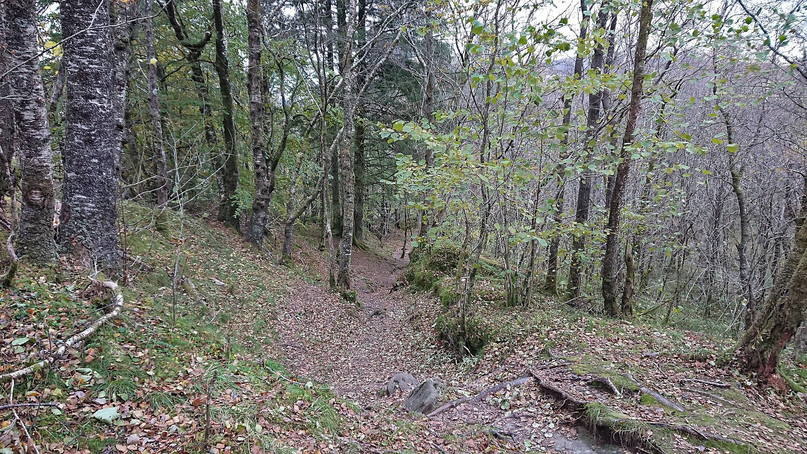
Saturday hike from Nesttun to Haukeland sykehus with the main objective of visiting the trig markers at Sandbrekketoppen and Rambjørga. Both provided great views and resulted in an overall enjoyable short trip.
| Start date | 21.10.2023 14:55 (UTC+01:00 DST) |
| End date | 21.10.2023 17:06 (UTC+01:00 DST) |
| Total Time | 2h 10min |
| Moving Time | 2h 02min |
| Stopped Time | 0h 8min |
| Overall Average | 4.1km/h |
| Moving Average | 4.4km/h |
| Distance | 8.9km |
| Vertical meters | 322m |


User comments