
Skjervsfossen and Olavstølsnuten (01.10.2023)

Written by hbar (Harald Barsnes)

| Start point | Svelgane (234m) |
|---|---|
| Endpoint | Seim (32m) |
| Characteristic | Hillwalk |
| Duration | 5h 31min |
| Distance | 19.9km |
| Vertical meters | 1,169m |
| GPS |
|
| Ascents | Olavstølsnuten (1,138m) | 01.10.2023 |
|---|---|---|
| Visits of other PBEs | Skjervsfossen (148m) | 01.10.2023 |
Skjervsfossen and Olavstølsnuten
I started by taking the train to Voss and then the bus towards Granvin. The plan was to get off at Moo and start hiking from there. But even though both the online timetable and the information screen on the bus indicated that this should be ok, the bus driver had other ideas and was almost on his way into Tunsbergtunnelen before I managed to press the stop button just in time to get off at the final stop before the tunnel. (The same thing happened last year as well, hence it is probably a good idea to ask the driver in advance whether the bus is going through the tunnel or not.)
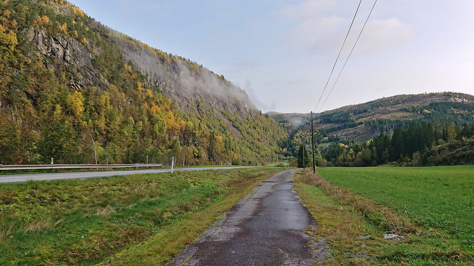
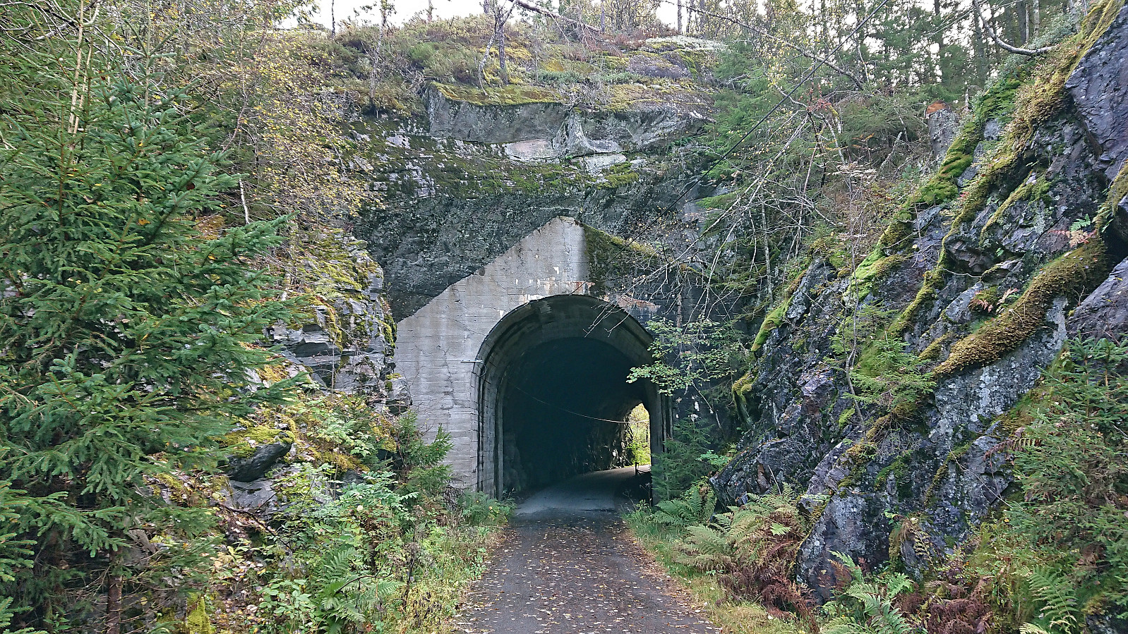
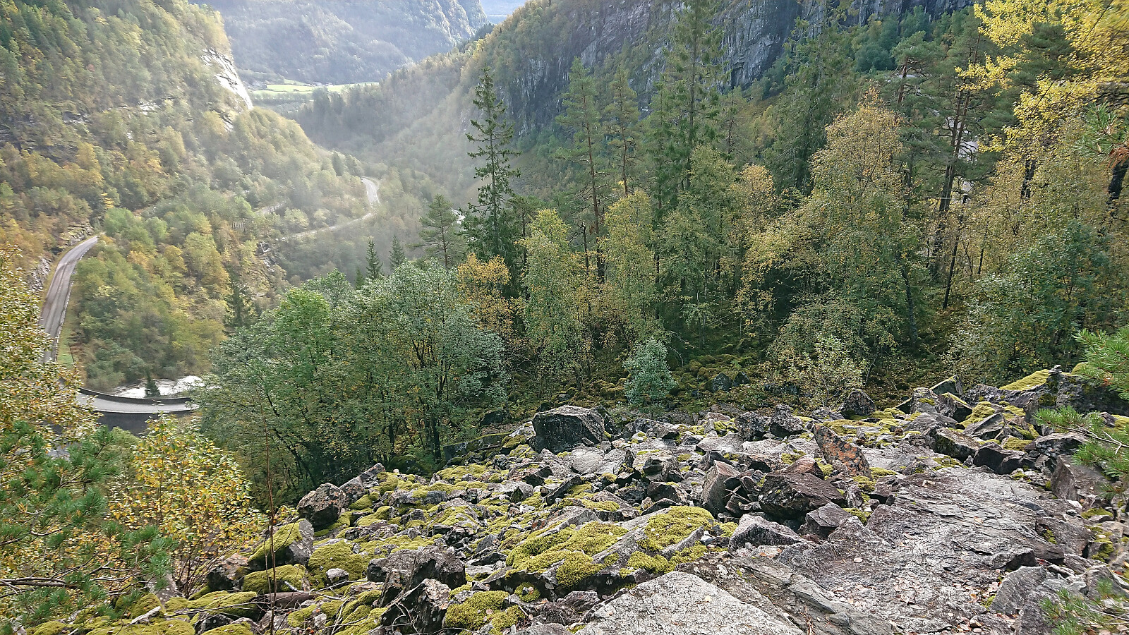
After crossing the main road I continued northeast along a separate walking and cycling path that I later learned was the old route of the decommissioned Hardangerbanen, a local train route from Granvin to Voss. The walking and cycling path however ended near the upper parking lot of Skjervsfossen, mainly due to the following tunnels not being maintained and closed to the general public. The old tracks, or rather the walking and cycling path, can however be picked up again at Nesheim and from there one can follow the old line all the way to Granvin.
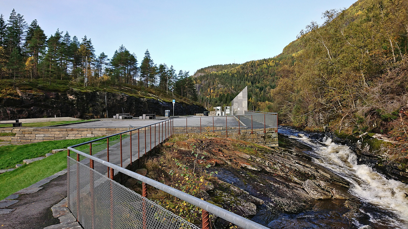
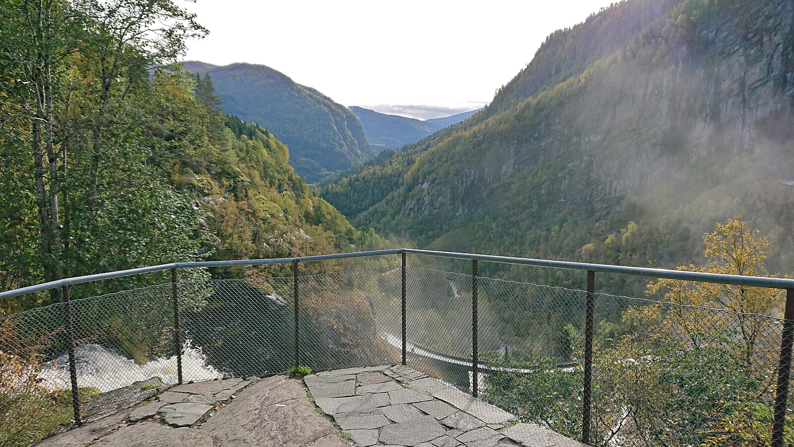
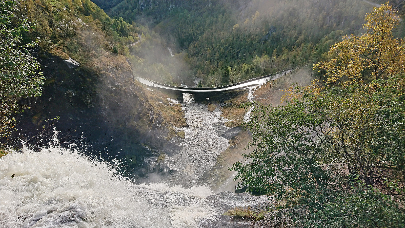
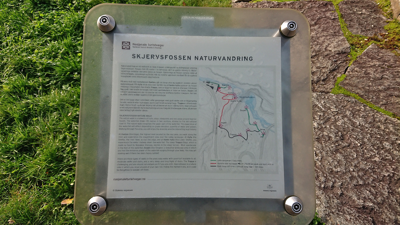
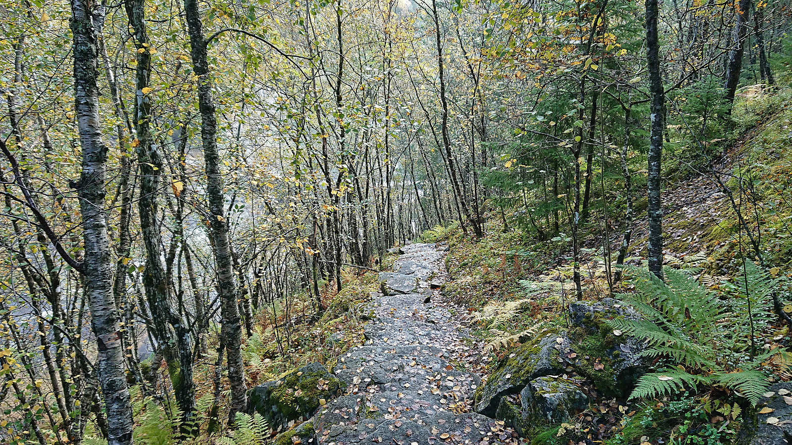
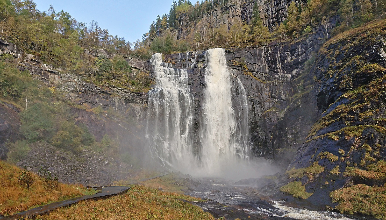
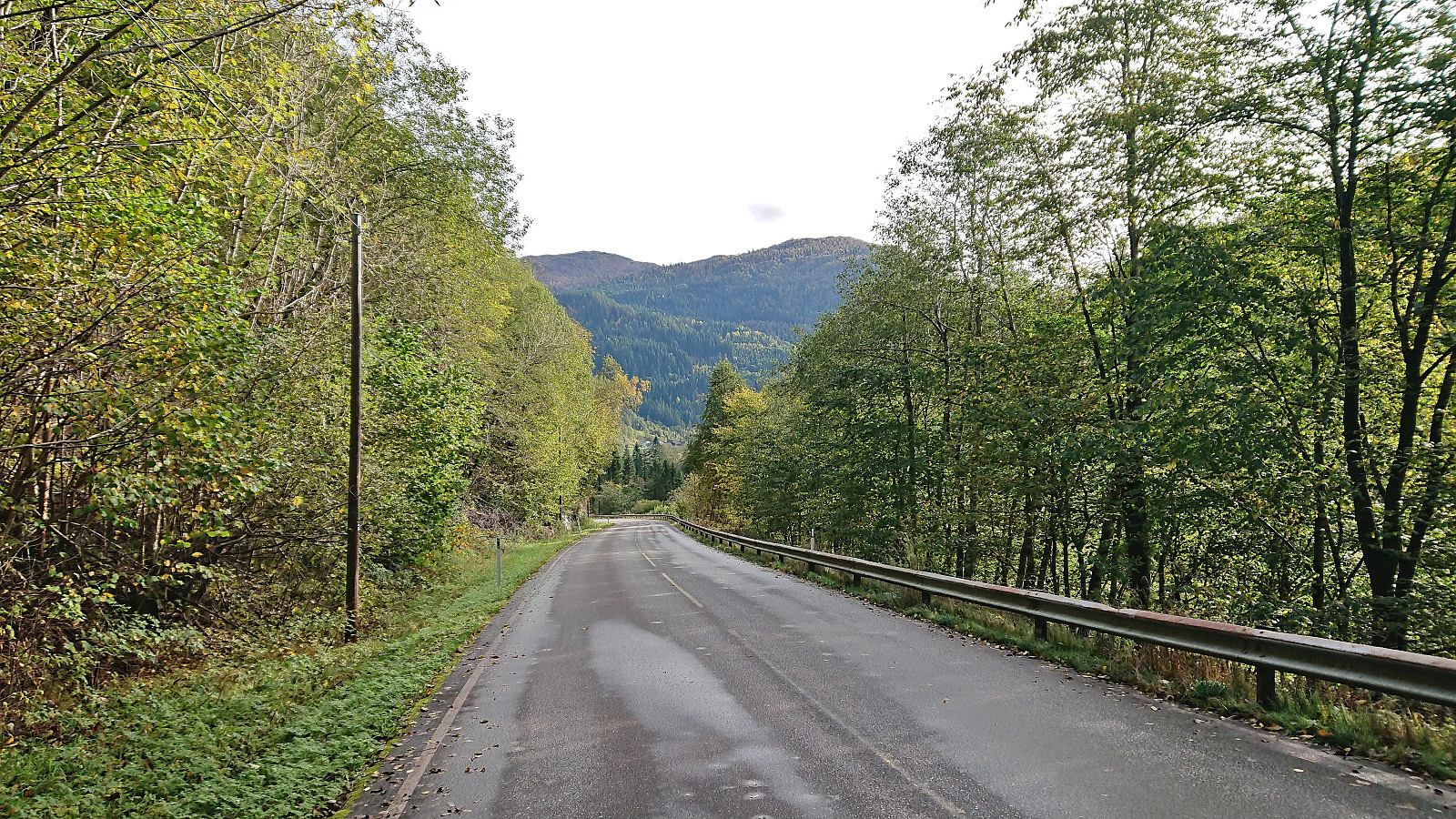
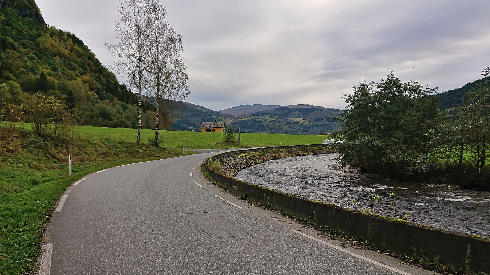
At Skjervsfossen there was a relatively new path with natural stone steps leading down to below the waterfall. Upon reaching the lower area I briefly had to put on my rain jacket to not get too wet when taking pictures of the waterfall. From Skjervsfossen I continued southeast along the road to Spildo. No sidewalk or separate cycling/walking path here but thankfully also very limited traffic.
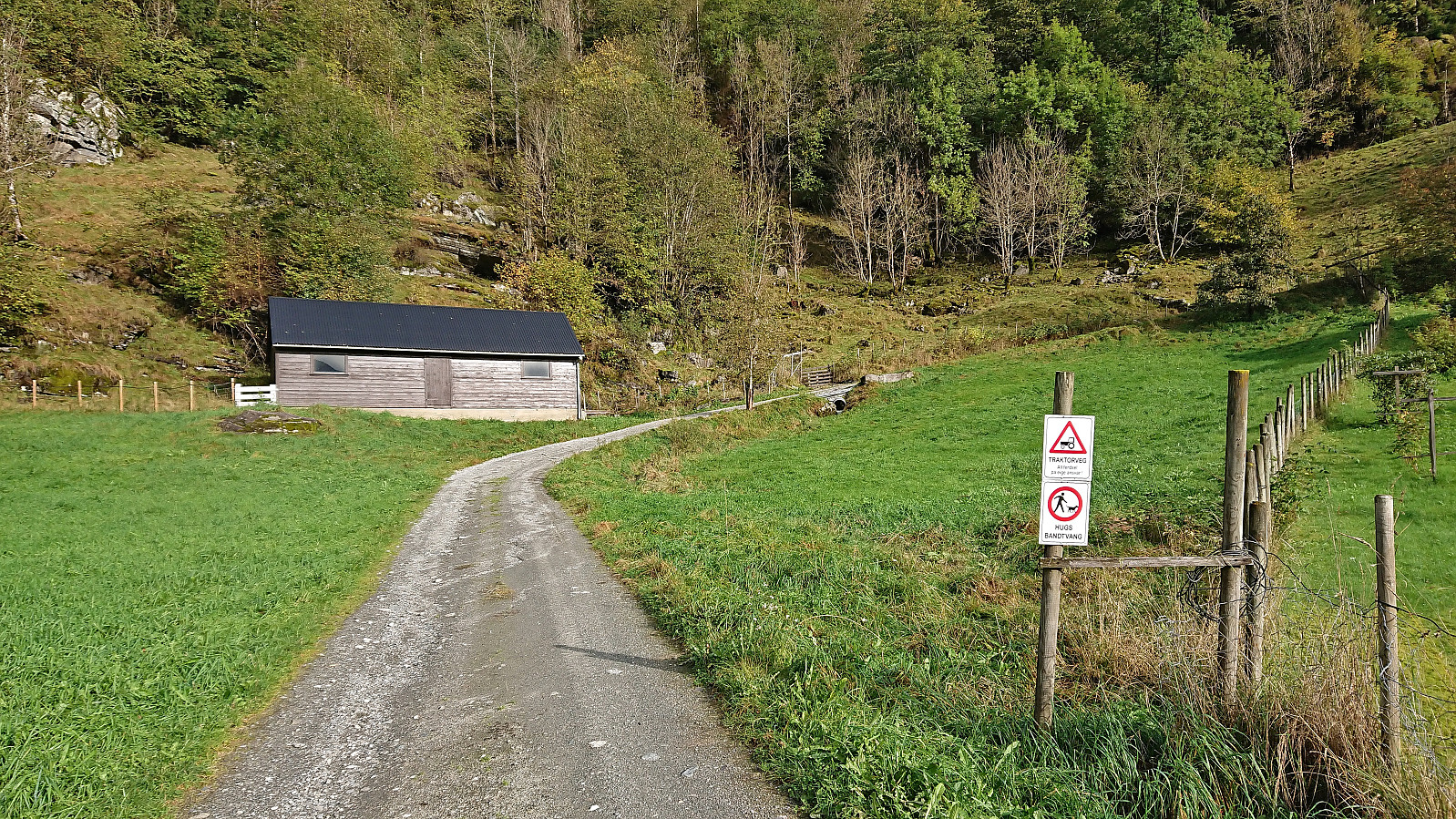
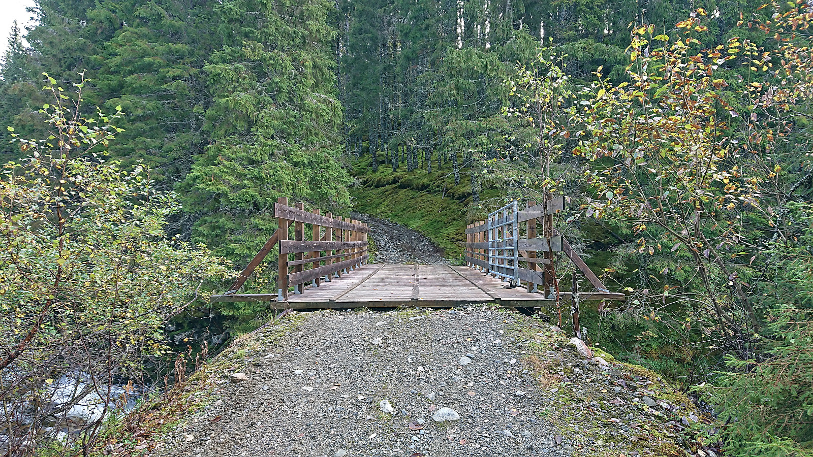
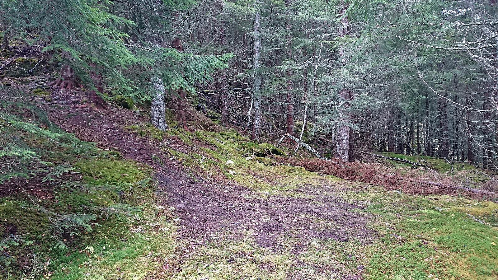
Upon arriving at Spildo I easily located the start of the tractor road called Bakkavegen that took me up to the bridge across Skorvo. While the sign at the start of Bakkavegen referred to it as a tractor road, it was in fact a quite good gravel road, however due to its steepness and lack of meeting places the term tractor road is perhaps still the most correct.
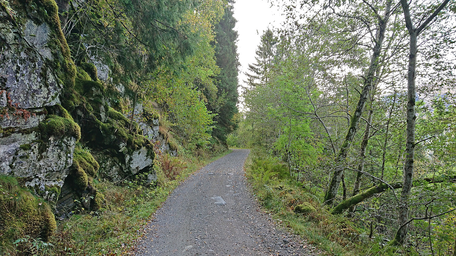
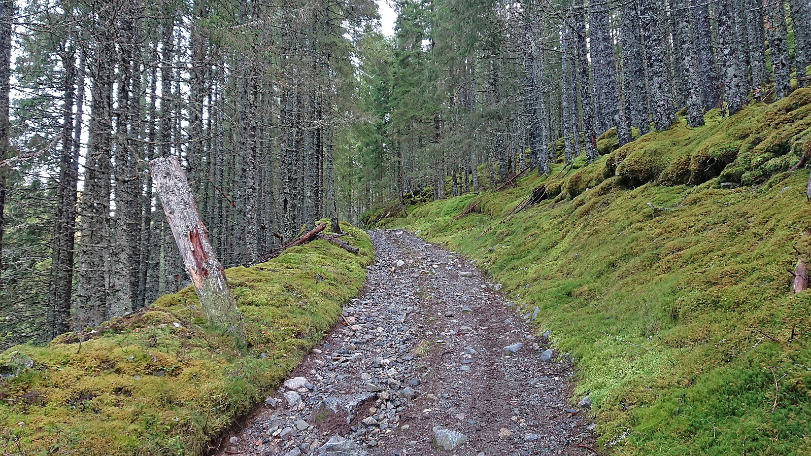
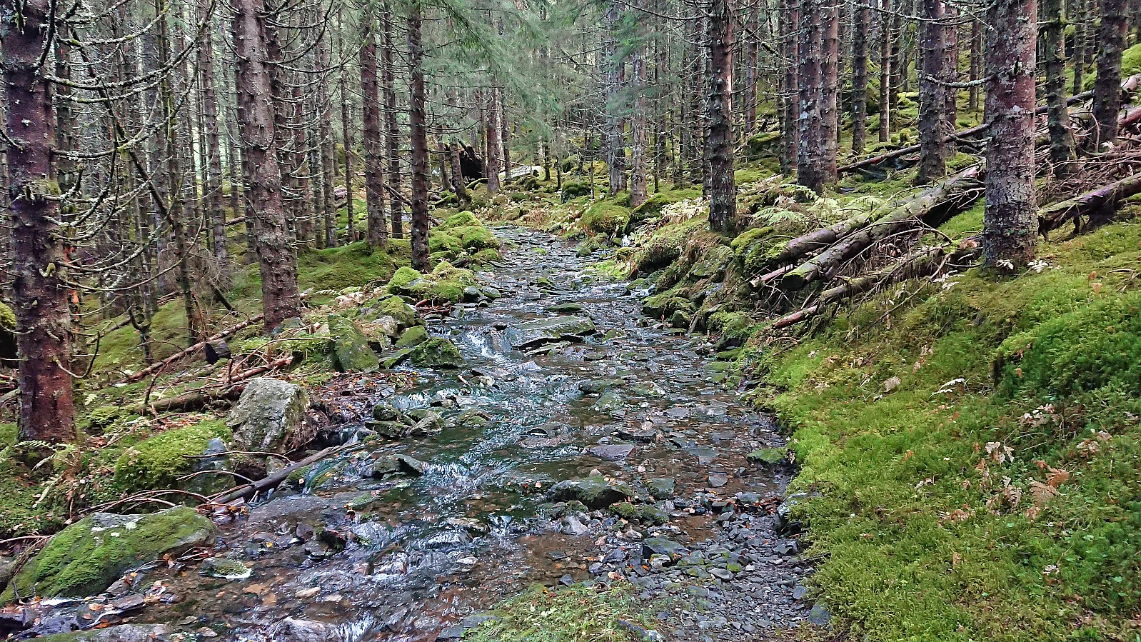
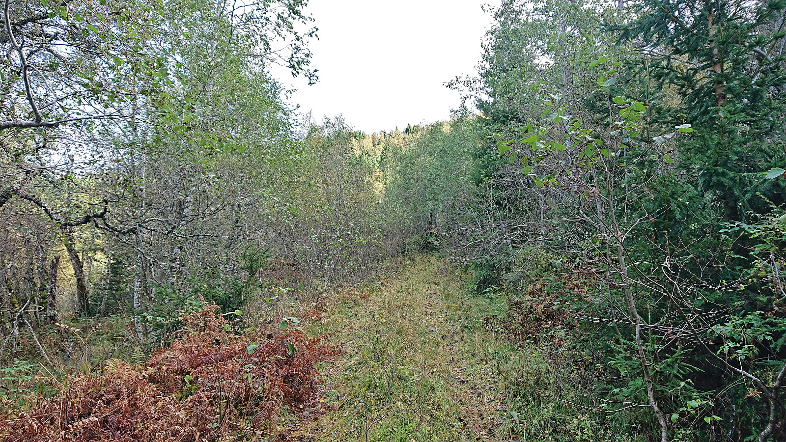
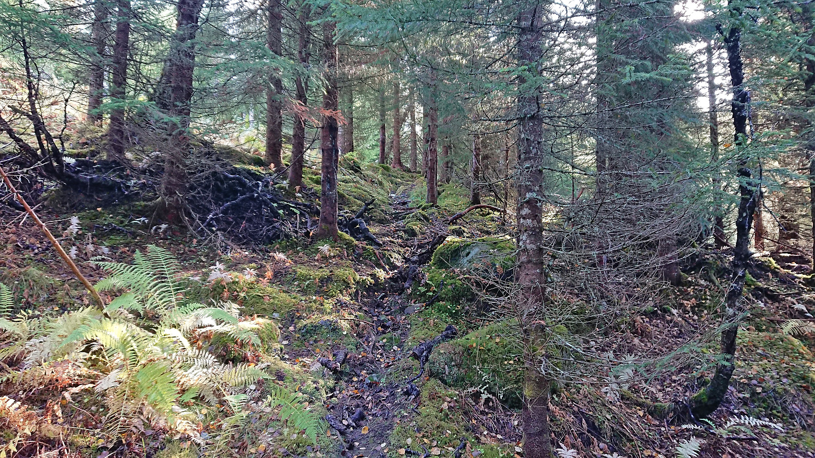
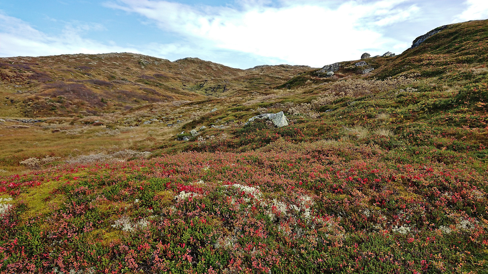
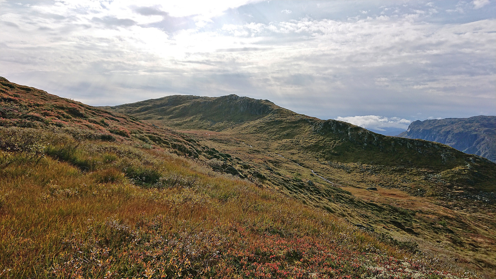
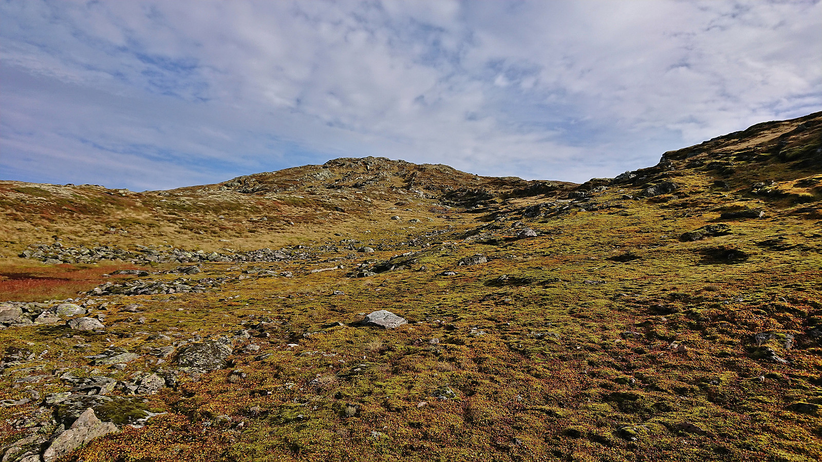
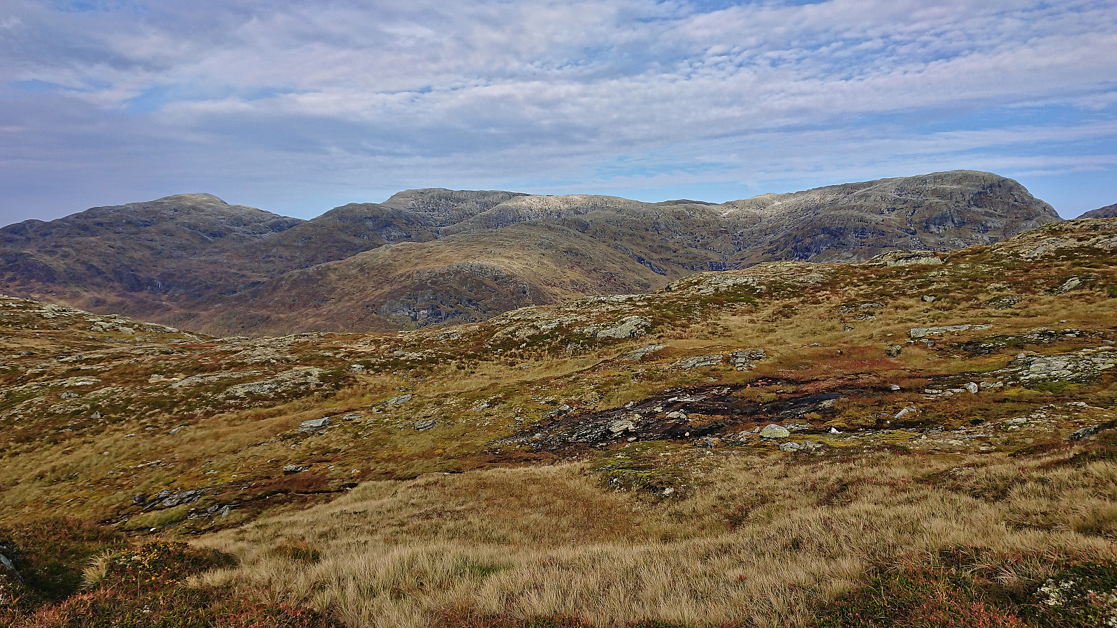
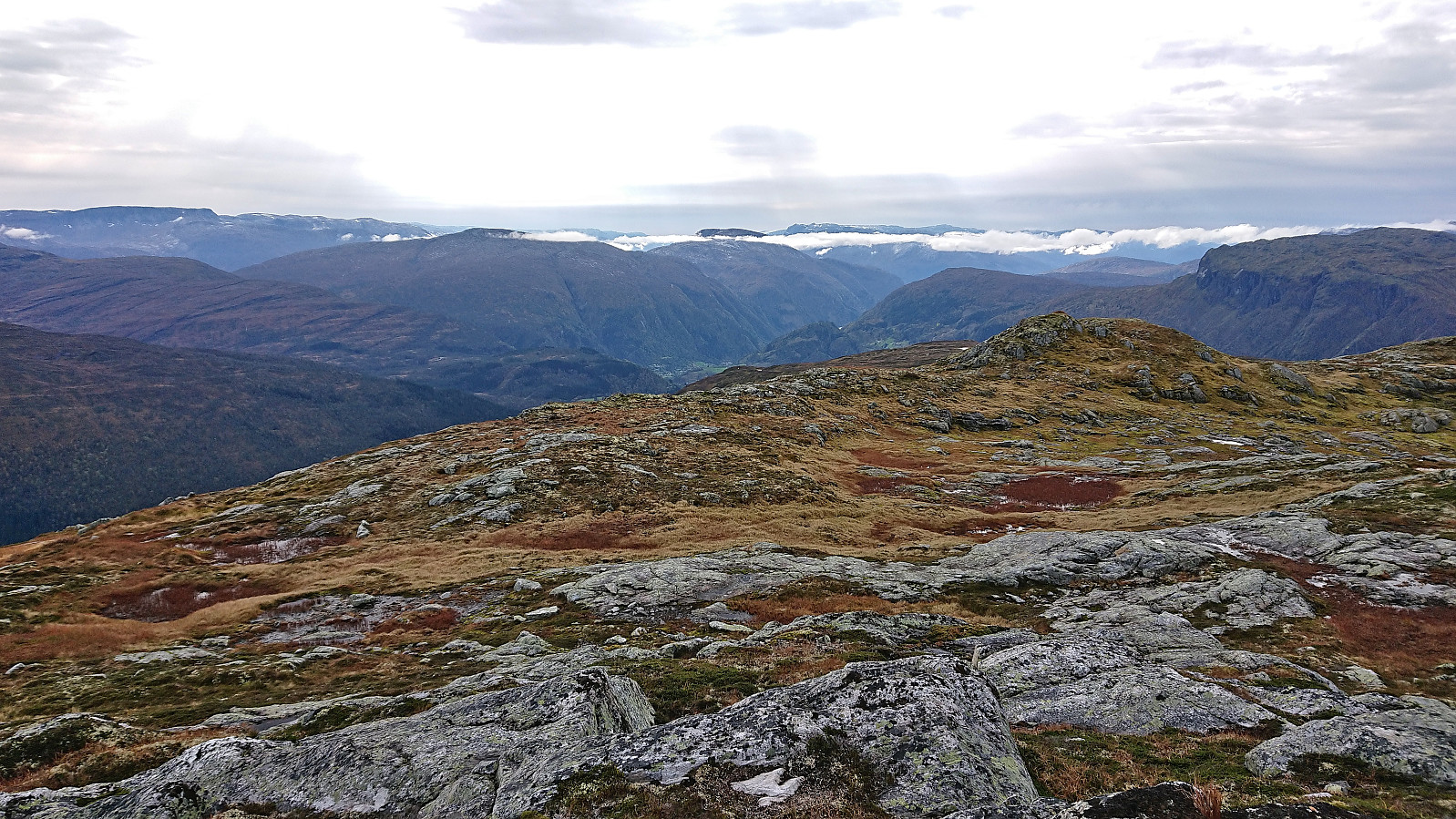
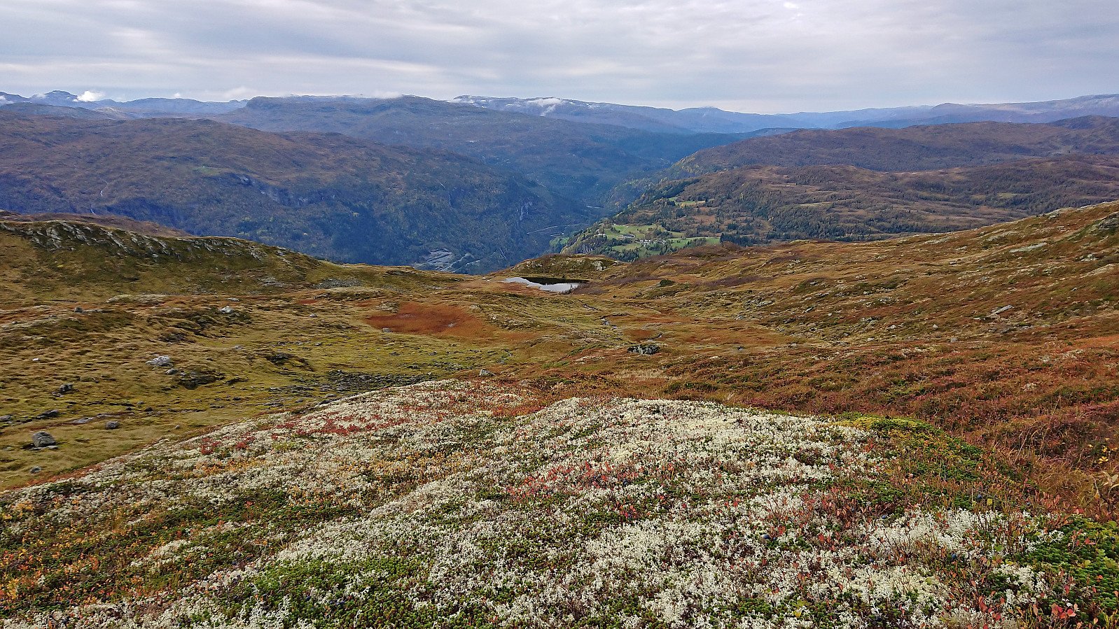
After passing the bridge the road got gradually worse and there were even numerous streams crossing the road. Towards the end it was probably only drivable by smaller four-wheel vehicles (of which I saw one parked at the end of the road). When the road ended, I continued east on a weak trail. This weak trail did not seem to head in the right direction though, and I soon instead simply headed off-trail in the direction of Olavstølsnuten, following various animal tracks when possible.
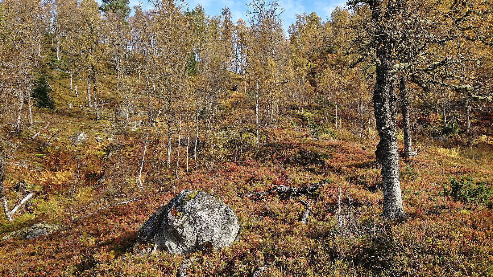
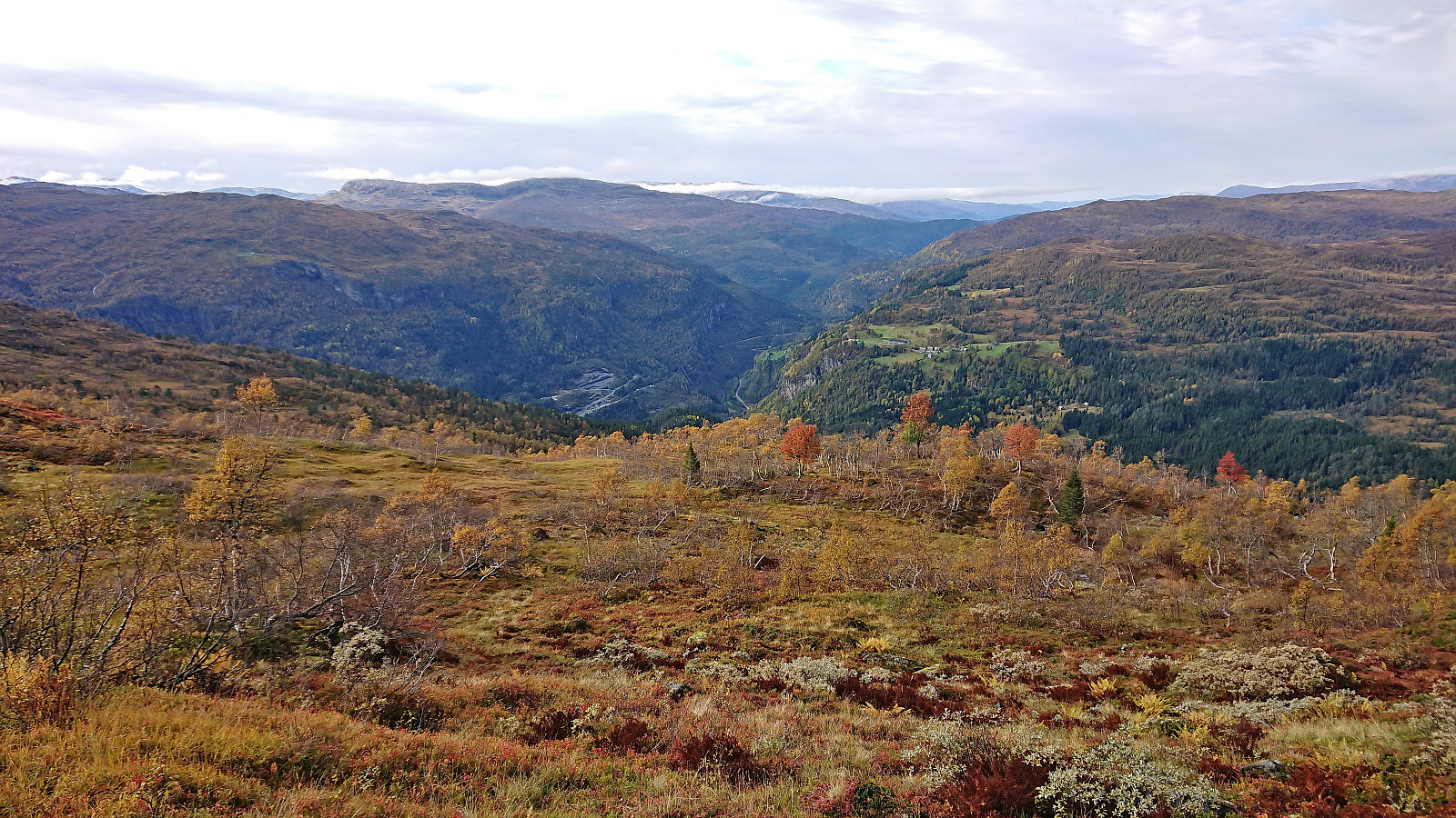
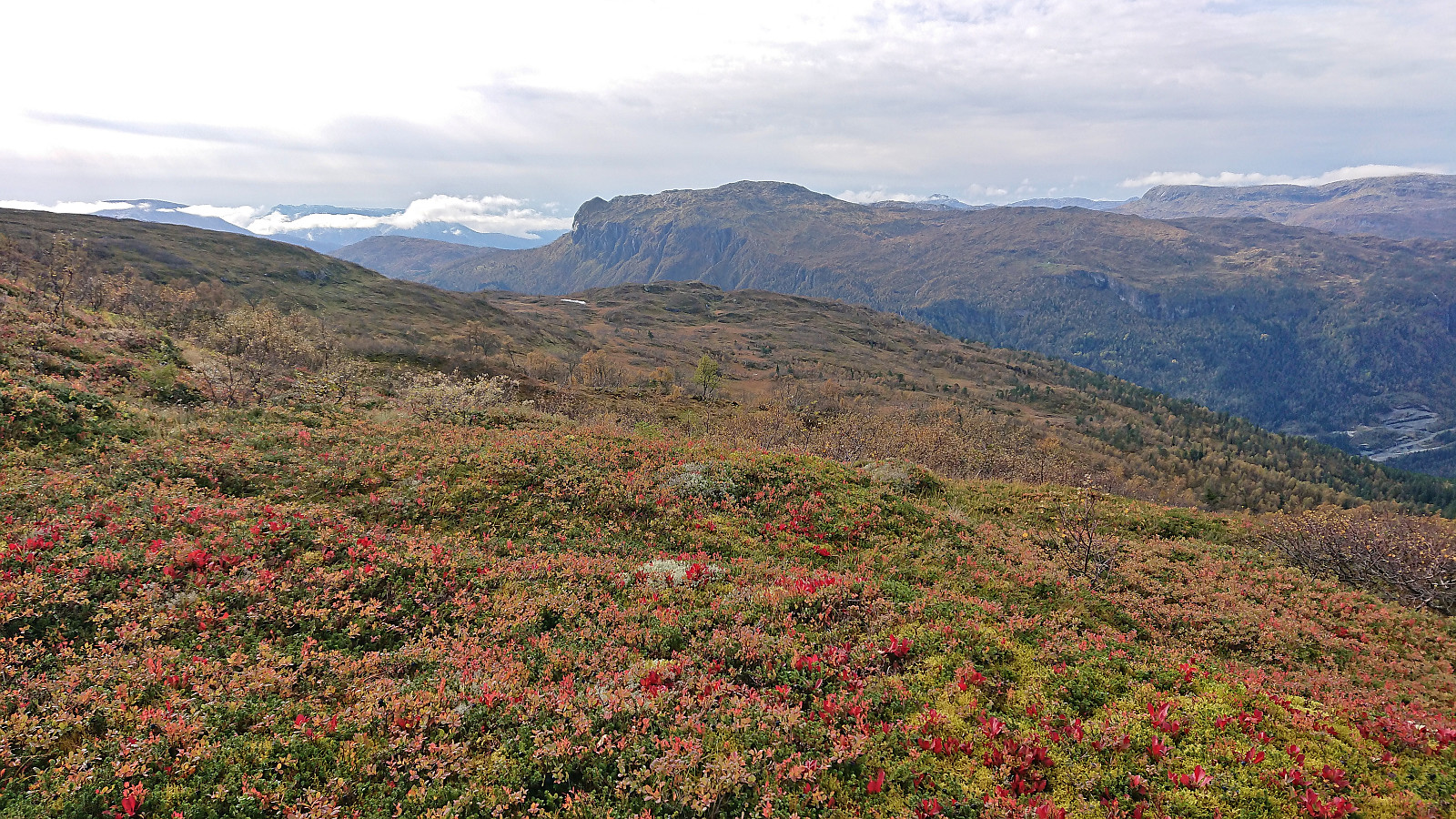
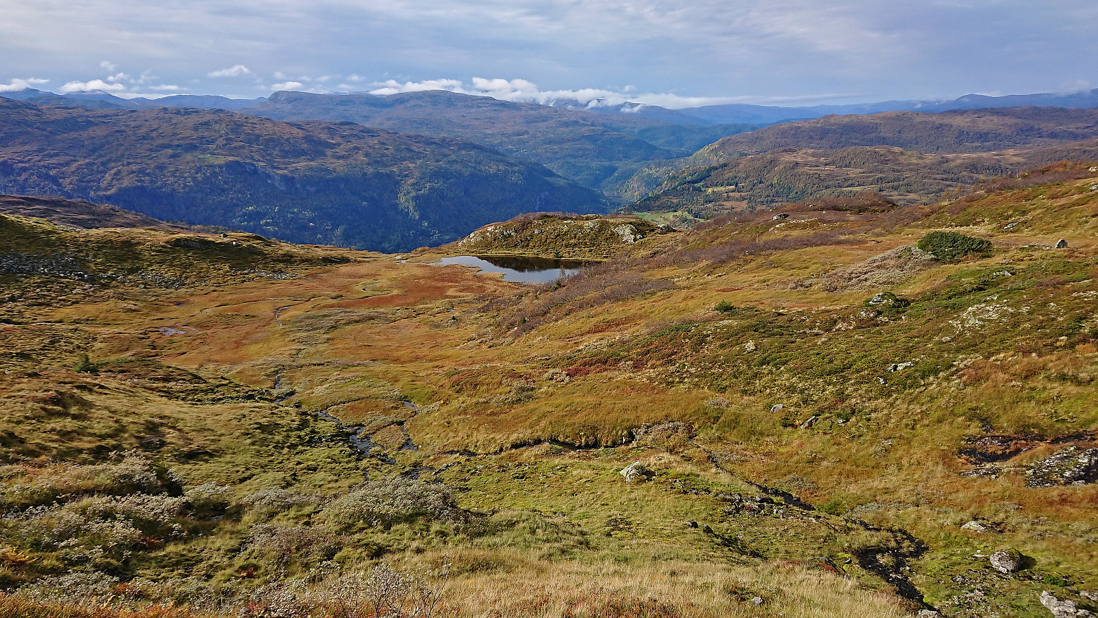
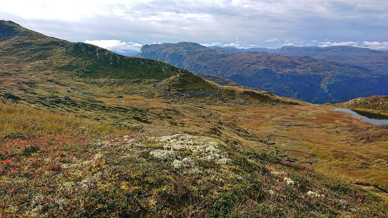
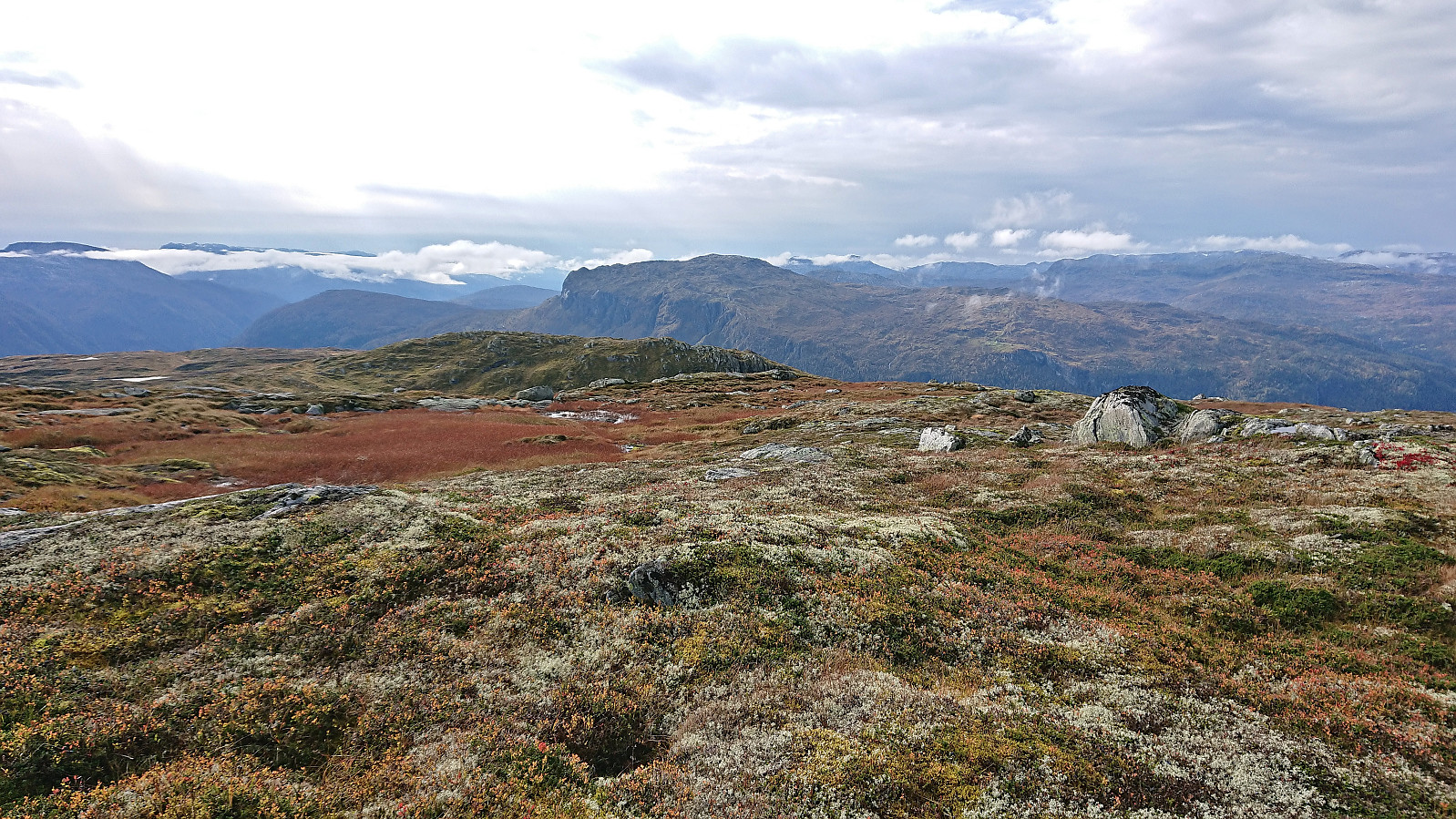
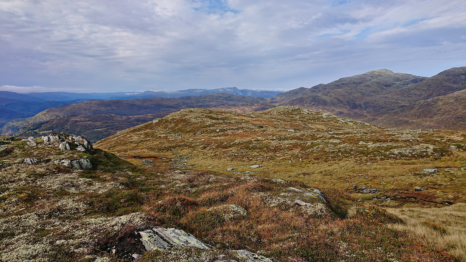
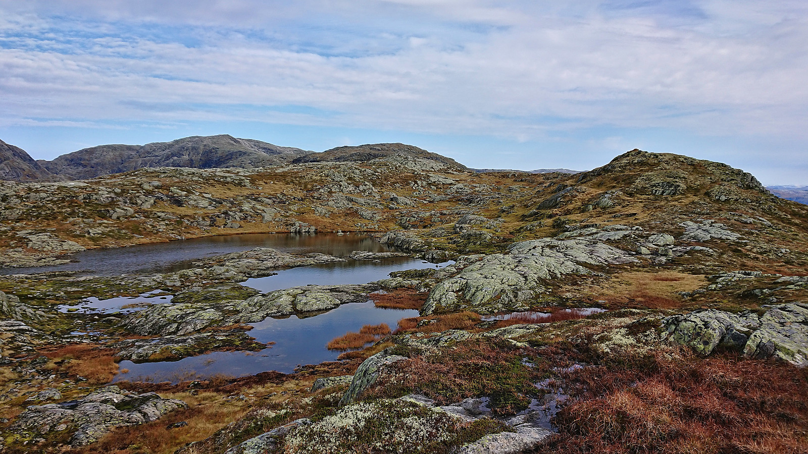
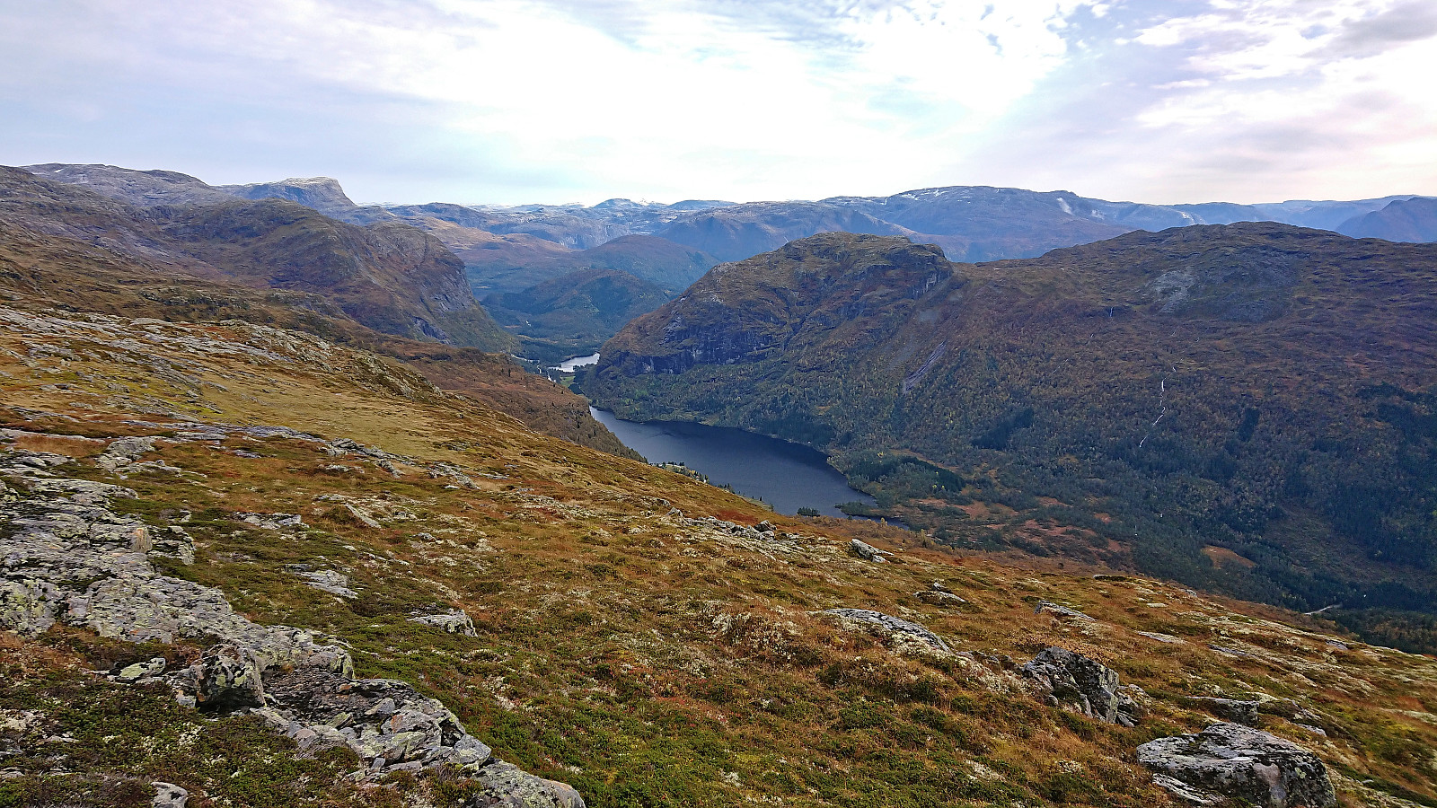
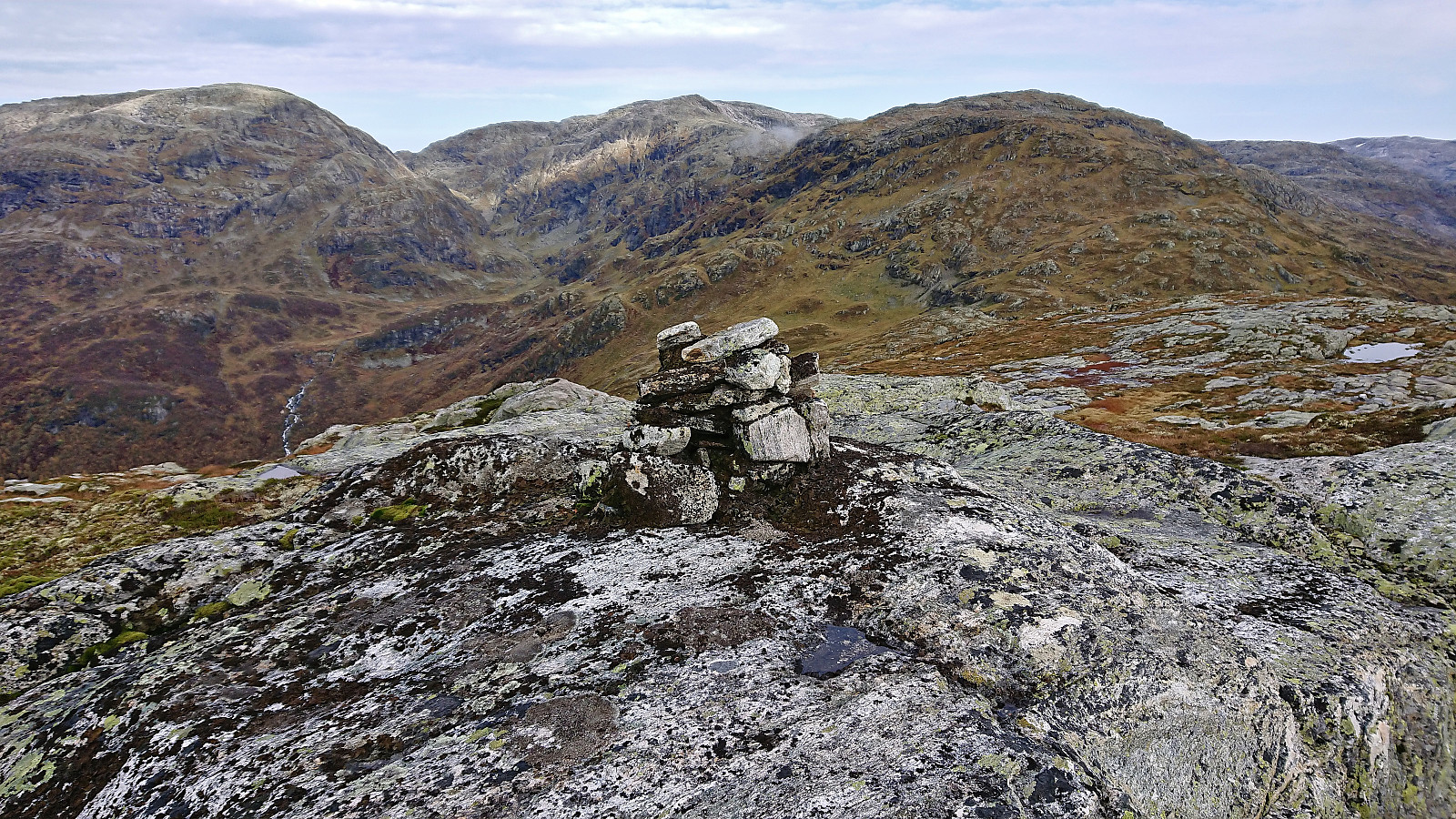
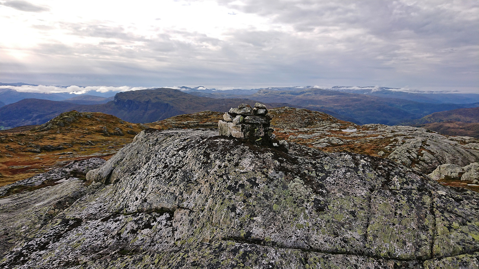
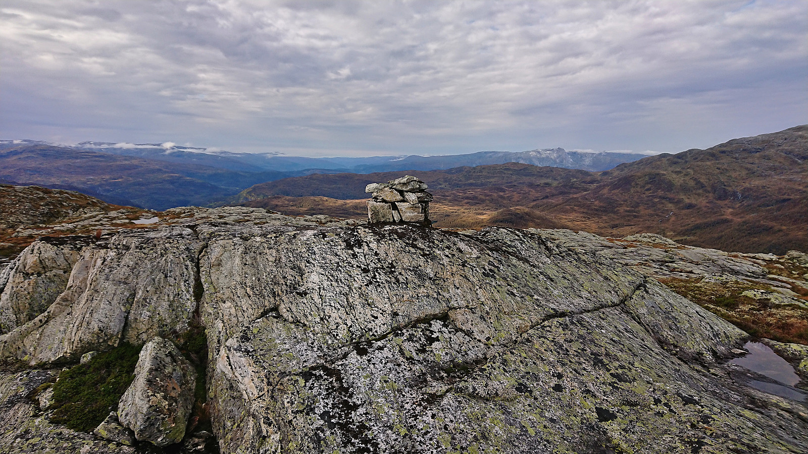
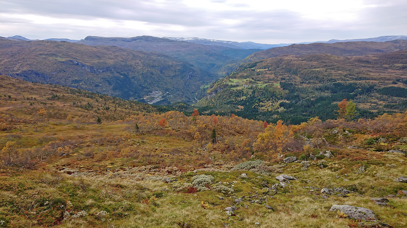
As soon as I got above the tree line the progress got even easier and it did not take long before the start of the Olavstølsnuten ridge was visible in the distance. In the end the summit was reached without any real challenges and I could enjoy the excellent panoramic views. After a couple of pictures I returned along the same route to Spildo, from where I followed the road south to Seim for the bus back to Voss and the train home to Bergen.
To conclude, this ascent to Olavstølsnuten can be recommended. By following the tractor road until it ends, around half of the vertical meters have also already been completed.
| Start date | 01.10.2023 10:23 (UTC+01:00 DST) |
| End date | 01.10.2023 15:55 (UTC+01:00 DST) |
| Total Time | 5h 31min |
| Moving Time | 5h 13min |
| Stopped Time | 0h 18min |
| Overall Average | 3.6km/h |
| Moving Average | 3.8km/h |
| Distance | 19.9km |
| Vertical meters | 1,168m |


User comments