
Borgundnuten (06.08.2023)

Written by hbar (Harald Barsnes)

| Start point | Borgundøy kai (1m) |
|---|---|
| Endpoint | Furevik tømmerkai (1m) |
| Characteristic | Hillwalk |
| Duration | 2h 32min |
| Distance | 7.1km |
| Vertical meters | 510m |
| GPS |
|
| Ascents | Borgundnuten (462m) | 06.08.2023 |
|---|---|---|
| Visits of other PBEs | Borgundøy kai (1m) | 06.08.2023 |
| Furevik tømmerkai (1m) | 06.08.2023 | |
| Radiohola i Vakabergsuro (85m) | 06.08.2023 | |
| Storaskarnuten (430m) | 06.08.2023 |
Borgundnuten
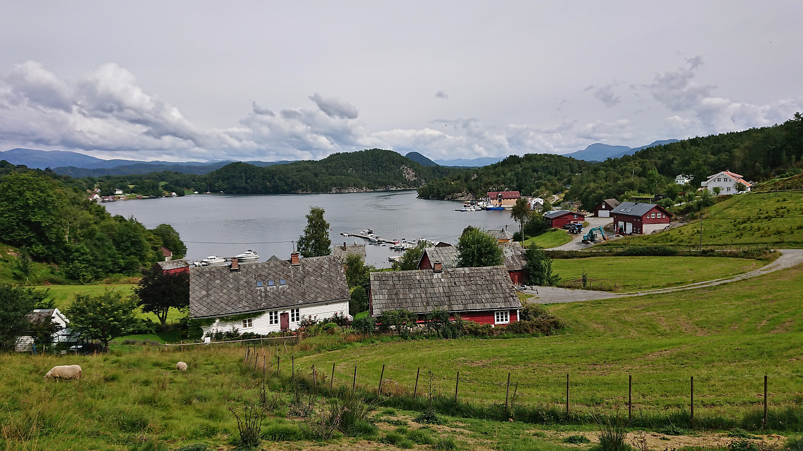
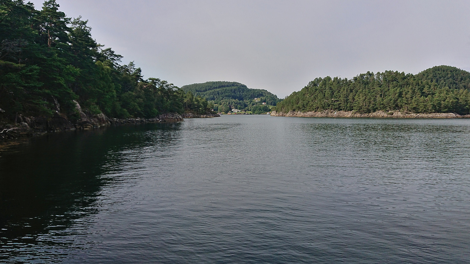
The last day of my 2023 summer holiday was spent travelling to Borgundøya for an ascent of Borgundnuten. I started by taking the high-speed passenger ferry from Strandkaien in Bergen to Borgundøy. This included a transfer to a corresponding ferry at Leirvik and in total took about two hours.
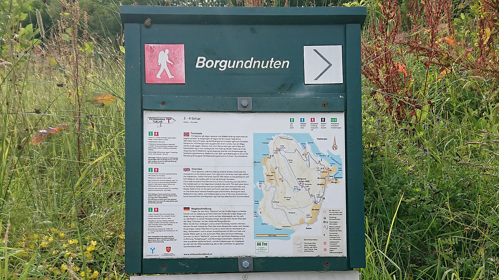
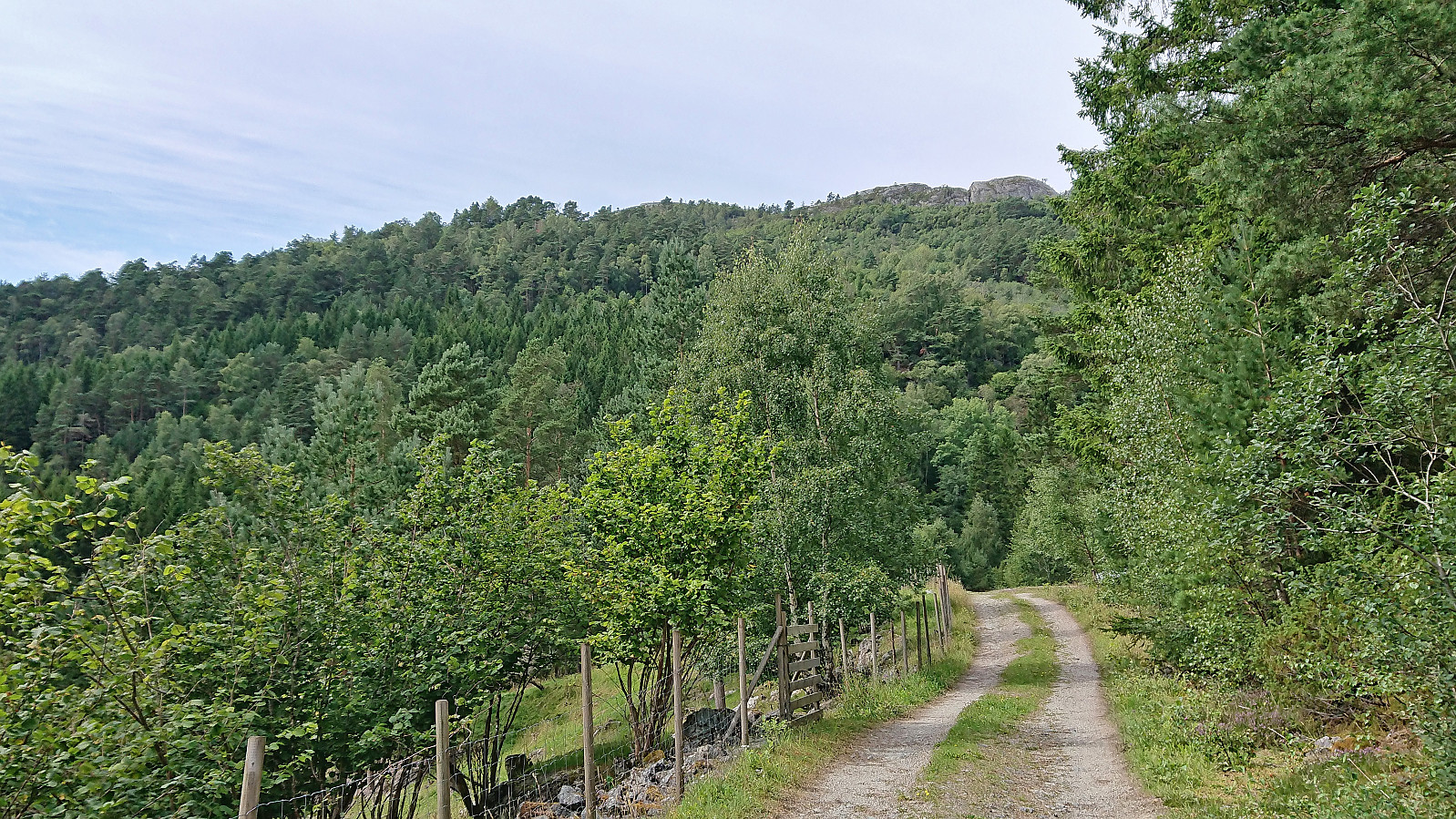
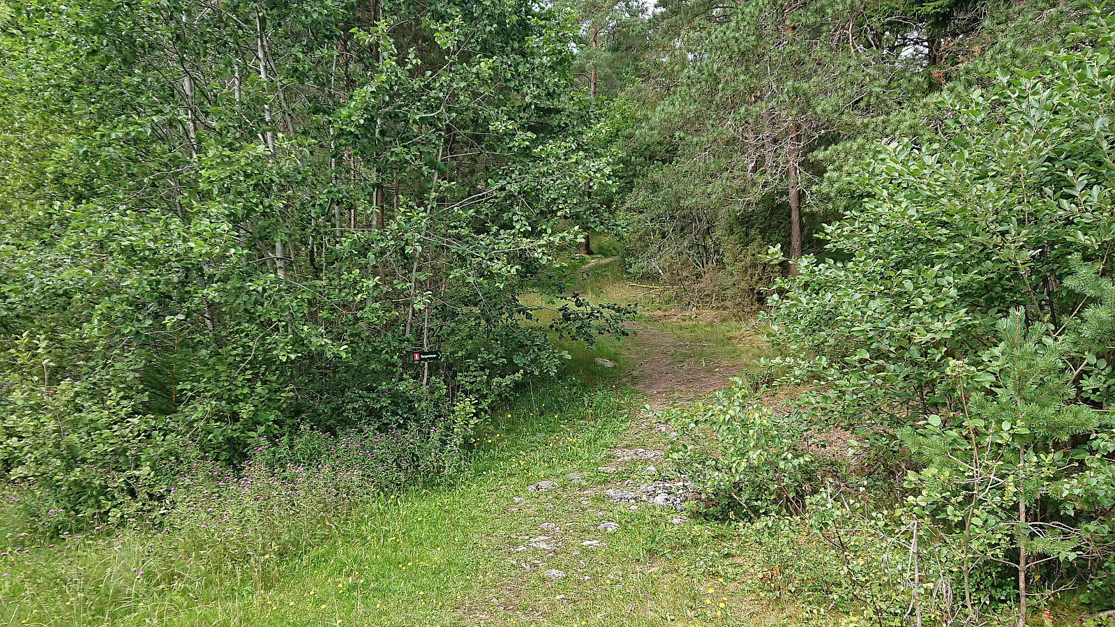
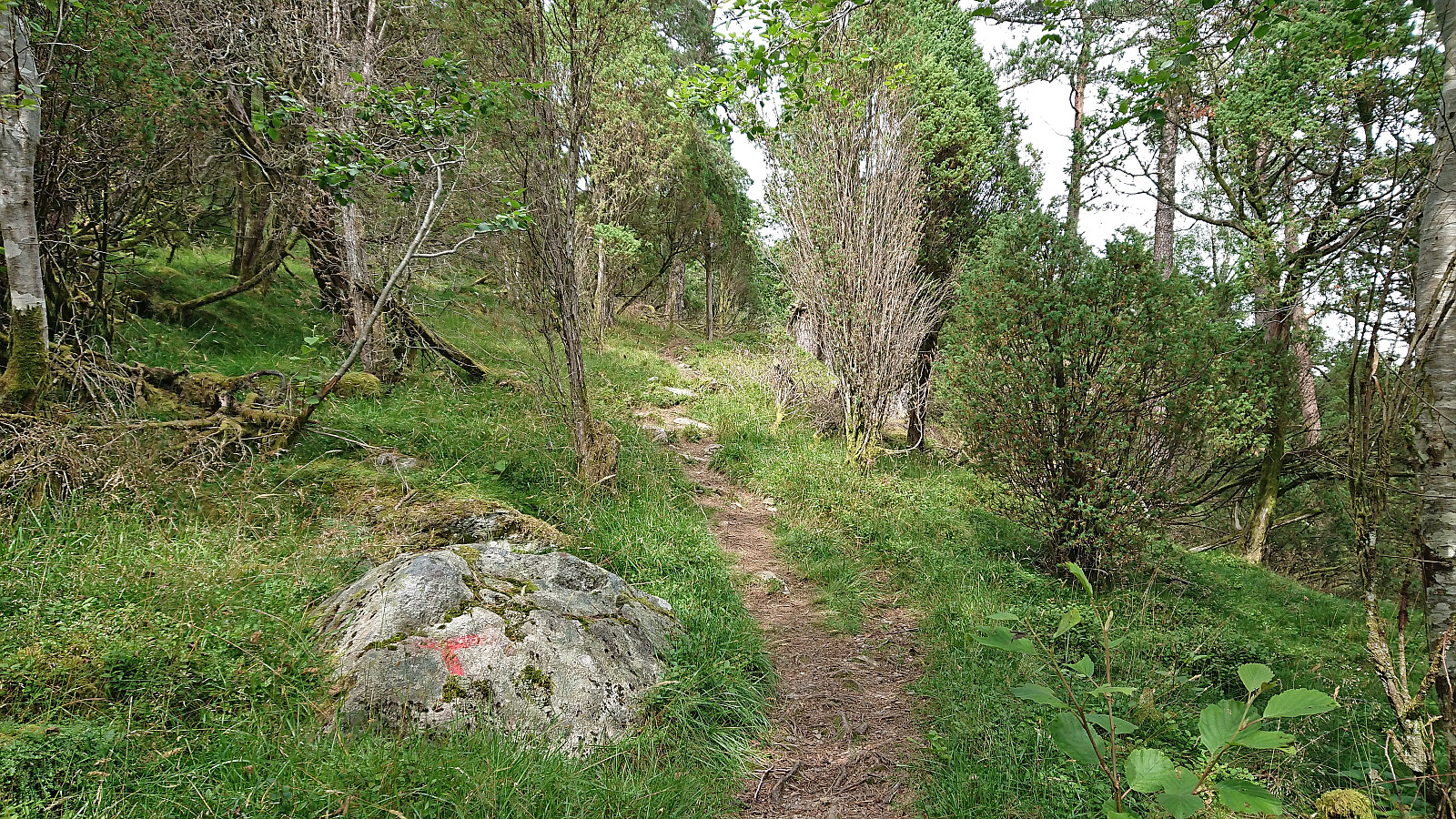
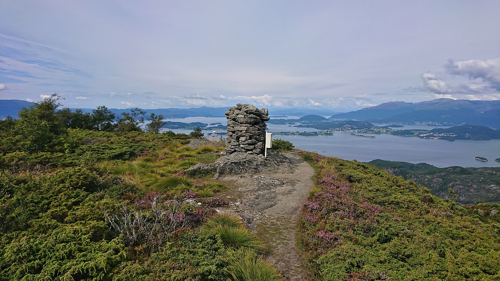
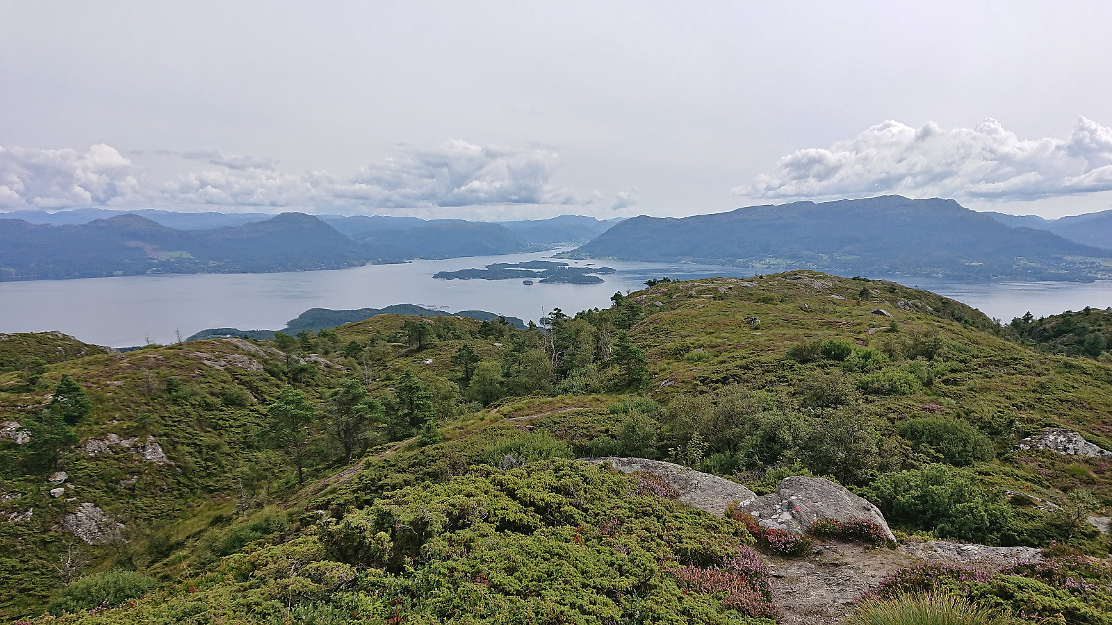
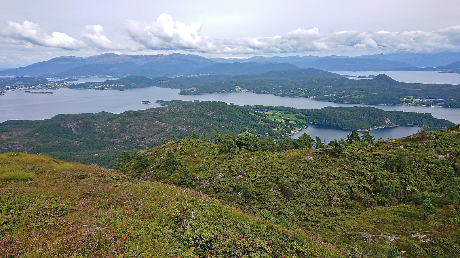
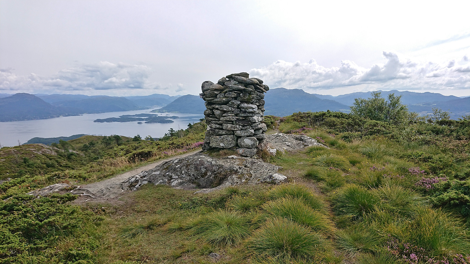
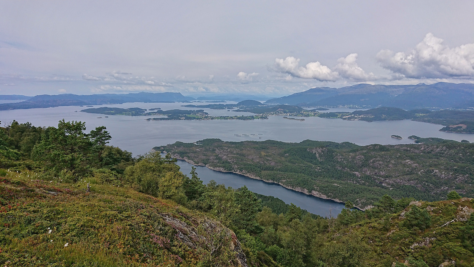
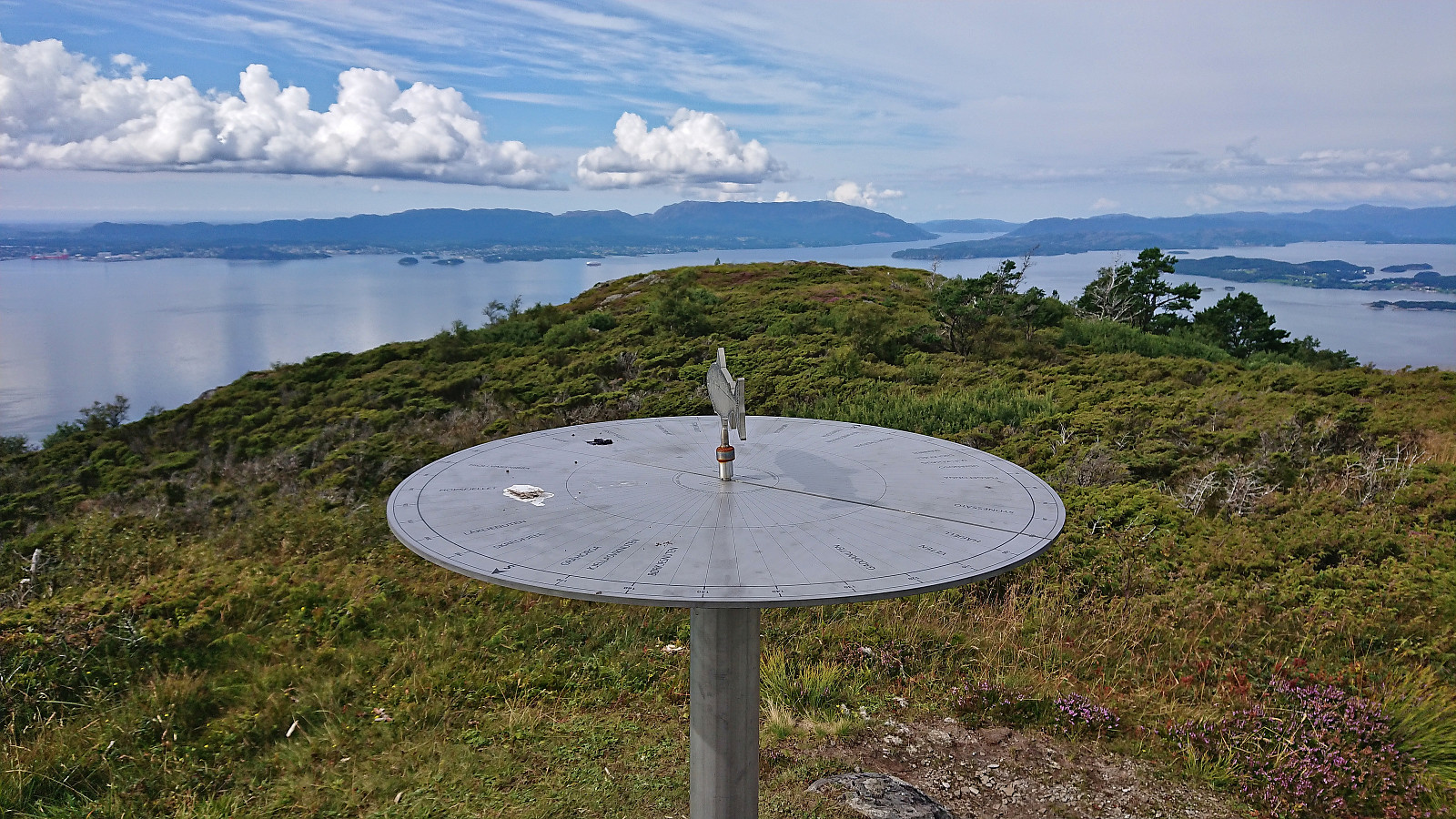
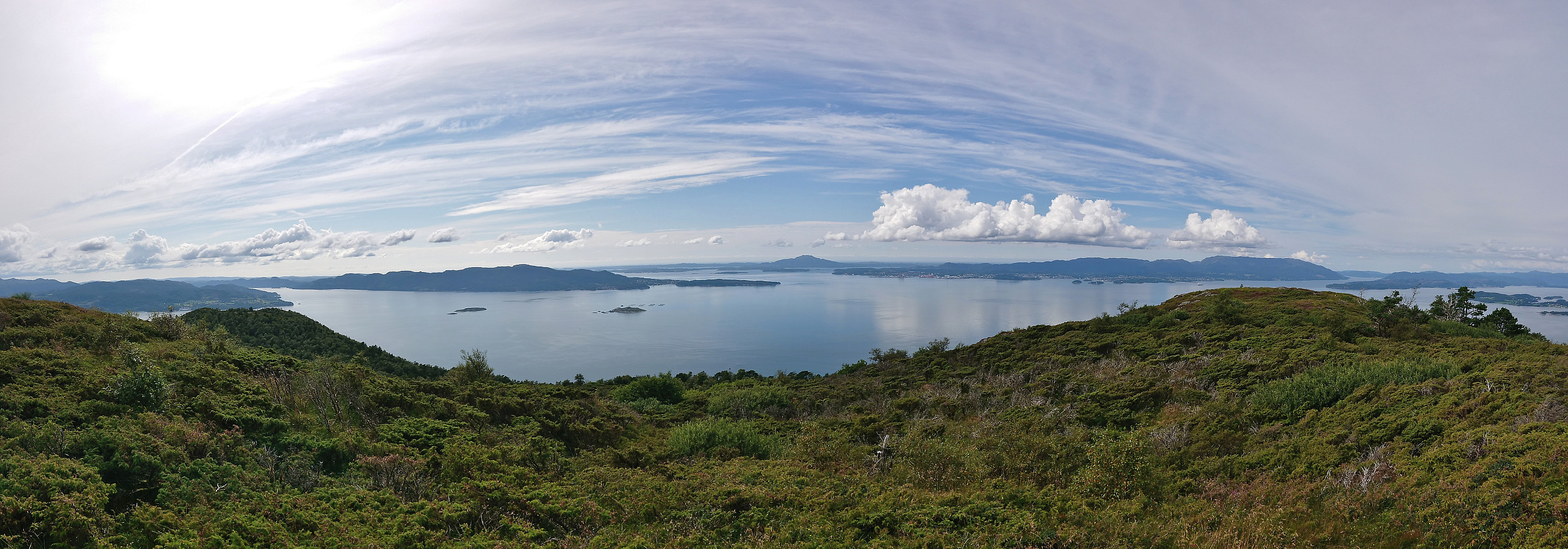
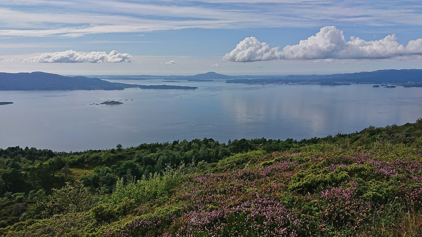
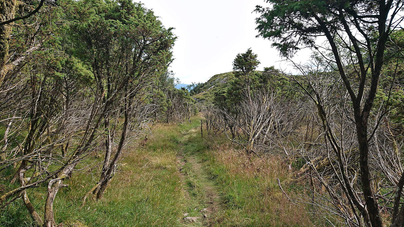
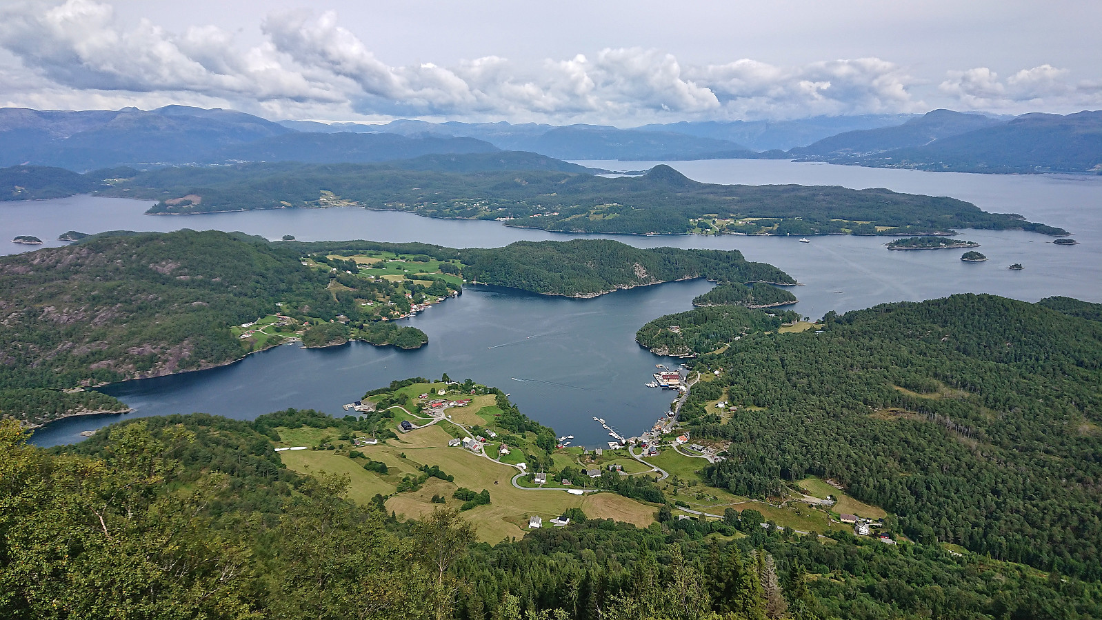
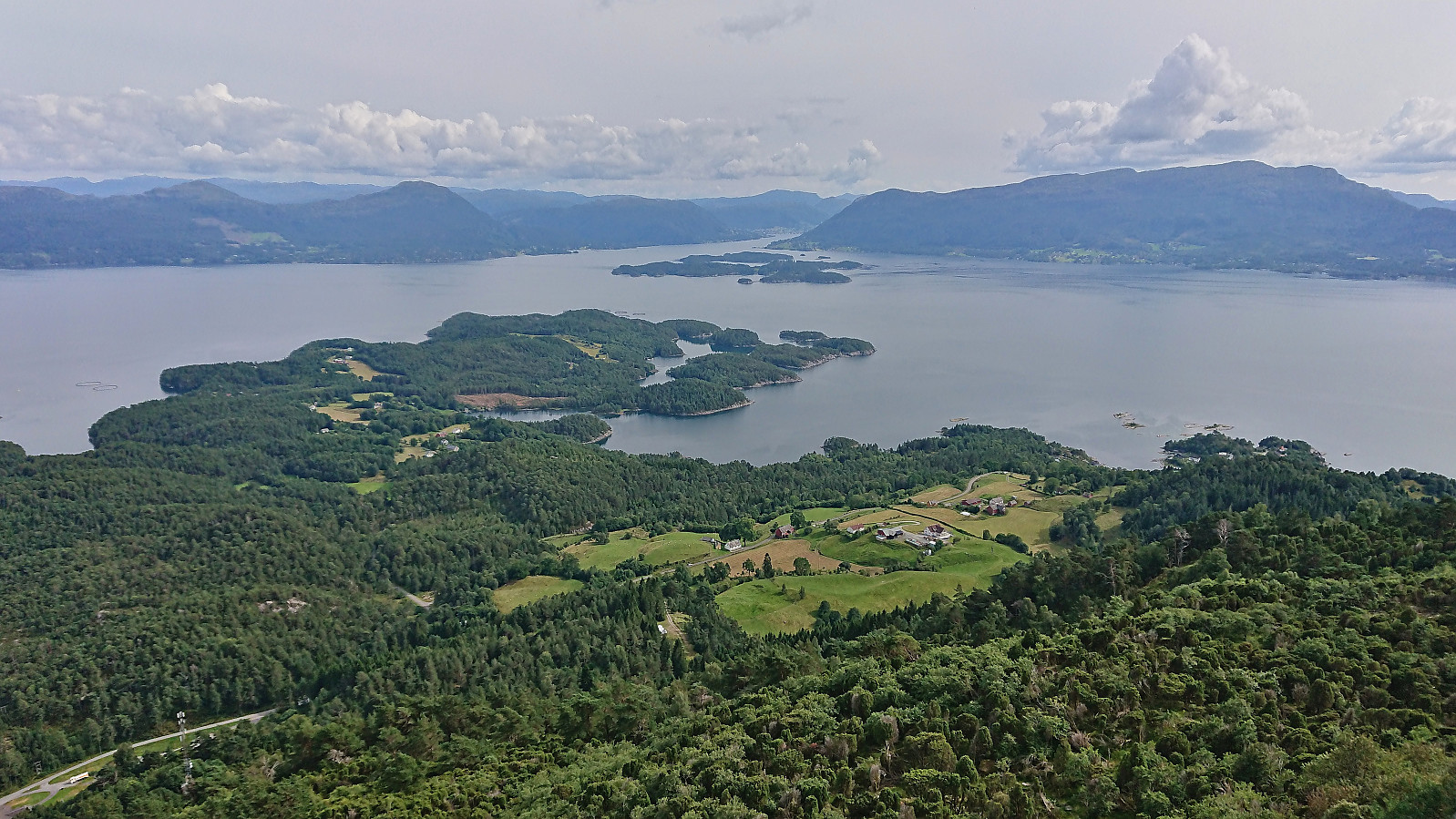
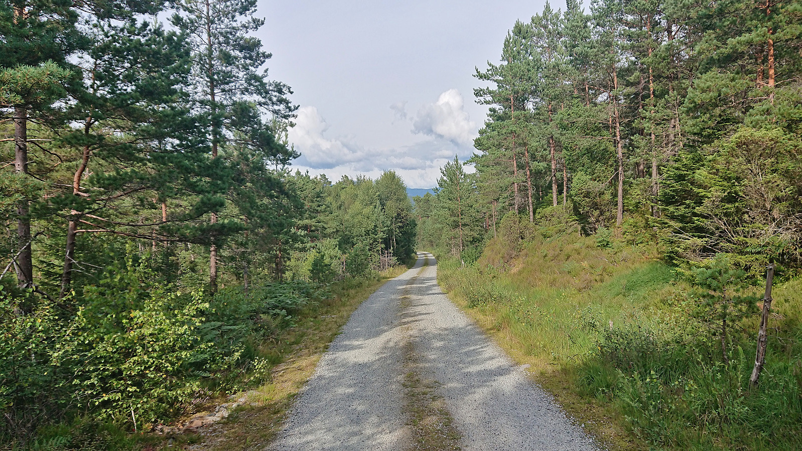
Upon arriving at Borgundøya I followed the paved road to the marked trailhead southeast of the summit and from there followed the marked trail all the way to the large summit cairn. Besides meeting maybe a dozen other hikers at the start of the hike (and one during the descent), I had the mountain all to myself and could fully enjoy the excellent panoramic views.
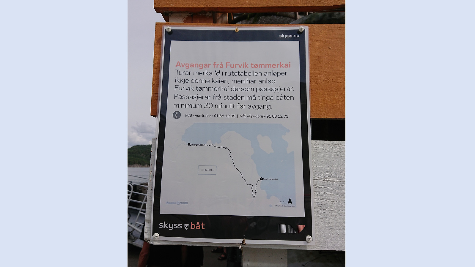
Descended along the same route to the paved road (only adding a short detour to Storaskarnuten), making sure to call the boat to let them know that I would like to be picked up on their way back to Bergen (a footnote in the timetable specifies that this must be done at least 20 minutes in advance).
I also needed to figure out where Furvik/Furevik tømmerkai was, as the footnote also indicated that this was where the boat would stop on this particular trip. In the timetable there was no information about how to locate Furevik tømmerkai, but thankfully there was a sign with a map at Borgundøy kai corresponding with what I had been able to figure out on my own (Furevik tømmerkai has now been added as its own PB-element).
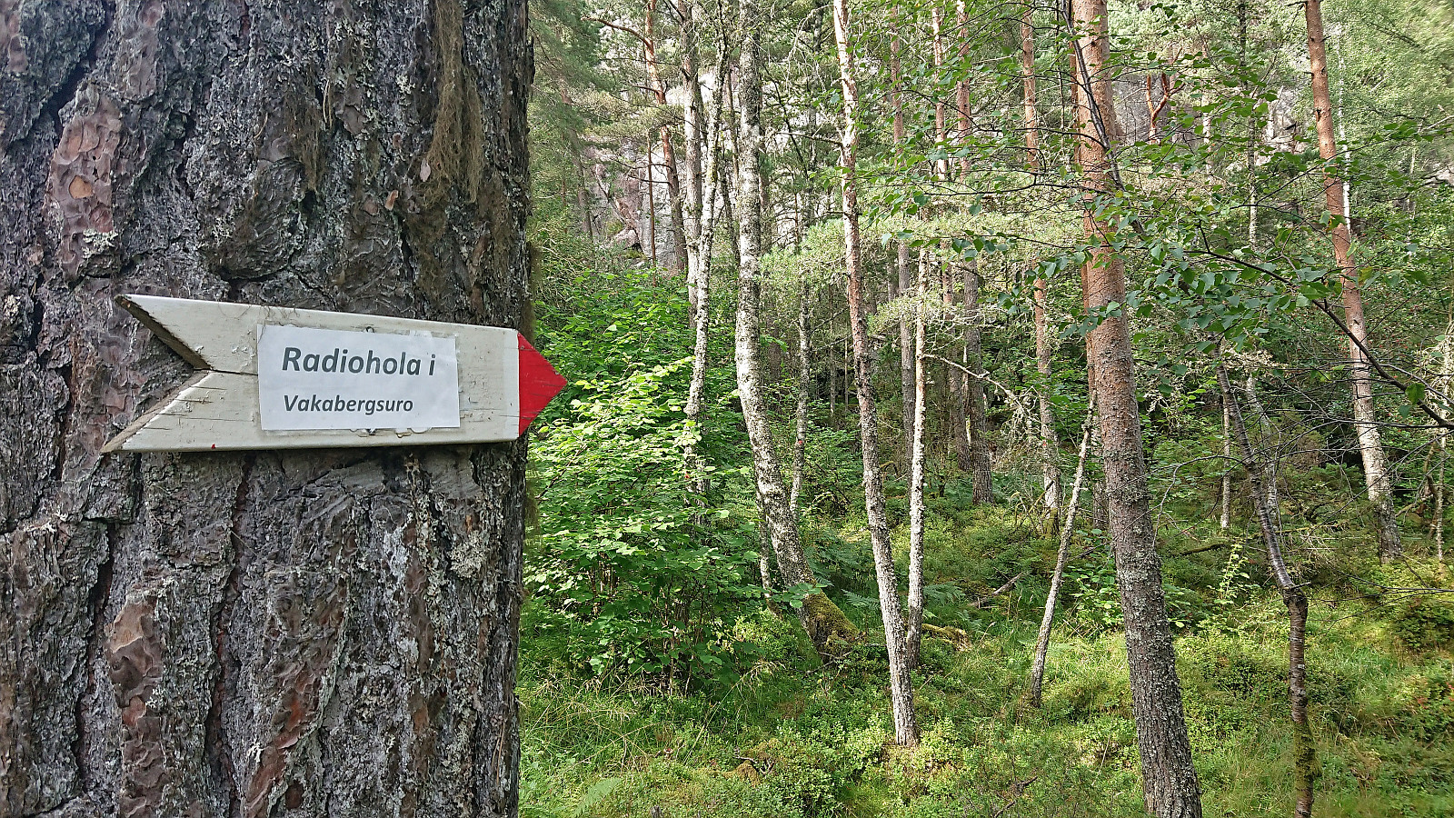
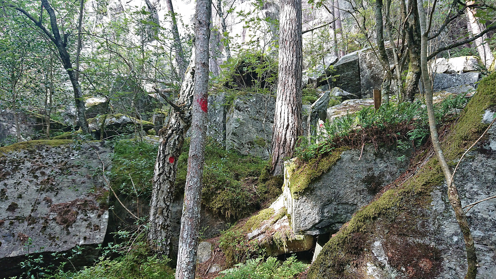
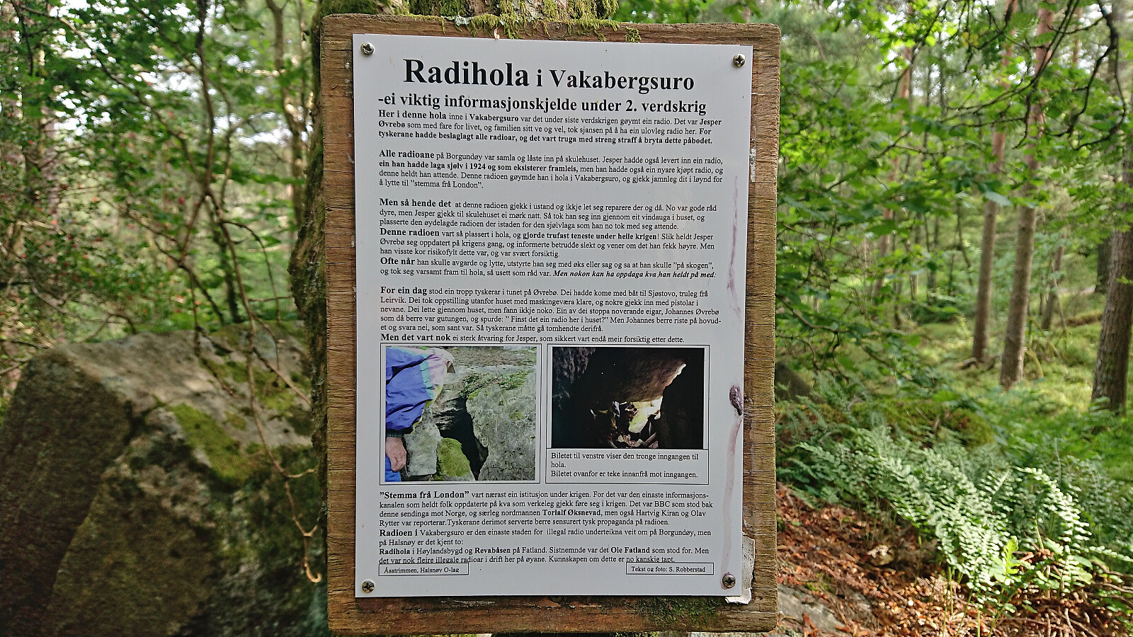
When following the gravel roads to Furevik I suddenly came across several red trail markers right next to the road. These turned out to point the way to Radiohola i Vakabergsuro, a secret location used to listen to radio transmissions during the second world war. After this short detour I continued to Furevik where I arrived around ten minutes before the boat. Note that the boat trip home took close to three hours due to additional stops and detours (compared to the two hours on the way down), however, this time did not have to switch boats.
In summary, a visit of Borgundnuten can very much be recommended and doing this by boat from Bergen is definitely a great option. Just make sure that you hike fast enough to catch the return boat or you might have to spend the night on the island. ;)

| Start date | 06.08.2023 14:44 (UTC+01:00 DST) |
| End date | 06.08.2023 17:17 (UTC+01:00 DST) |
| Total Time | 2h 32min |
| Moving Time | 2h 02min |
| Stopped Time | 0h 30min |
| Overall Average | 2.8km/h |
| Moving Average | 3.5km/h |
| Distance | 7.1km |
| Vertical meters | 510m |


User comments