
Cycling: Ytstafjellet (27.07.2023)

Written by hbar (Harald Barsnes)

| Start point | Lønborg (56m) |
|---|---|
| Endpoint | Lønborg (56m) |
| Characteristic | Bike trip - mixed |
| Duration | 4h 15min |
| Distance | 52.1km |
| Vertical meters | 786m |
| GPS |
|
| Ascents | Ytstafjellet (332m) | 27.07.2023 |
|---|---|---|
| Visits of other PBEs | Bergen stasjon (4m) | 27.07.2023 |
| Birkehaug (privat) (281m) | 27.07.2023 | |
| Bryggen i Bergen (1m) | 27.07.2023 | |
| Nygårdsbroene (5m) | 27.07.2023 | |
| Totland p-plass (287m) | 27.07.2023 | |
| Wallhall (privat) (303m) | 27.07.2023 |
Cycling: Ytstafjellet
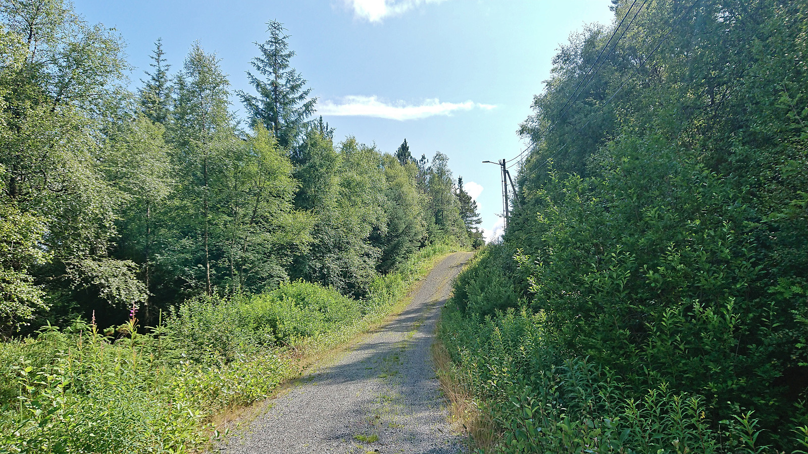
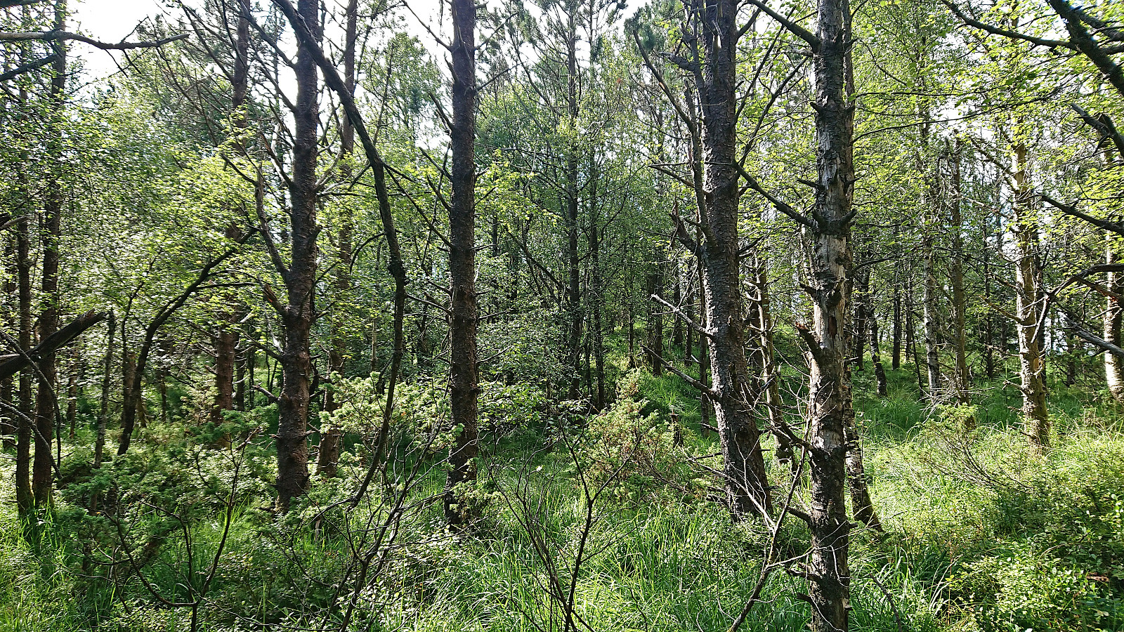
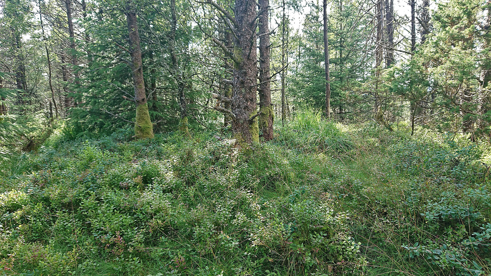
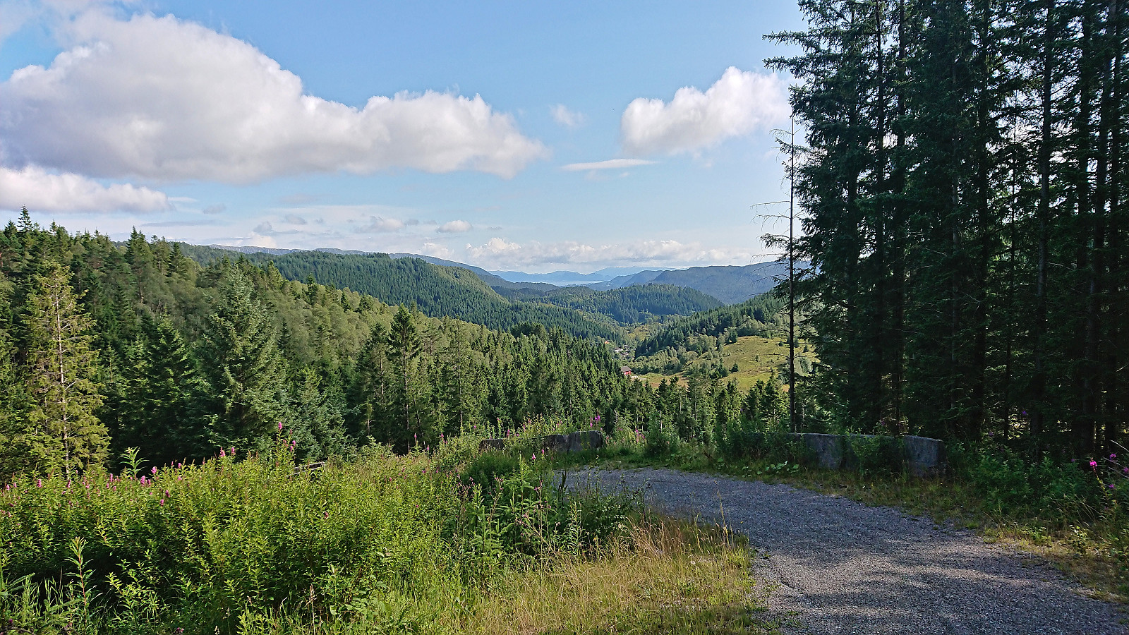
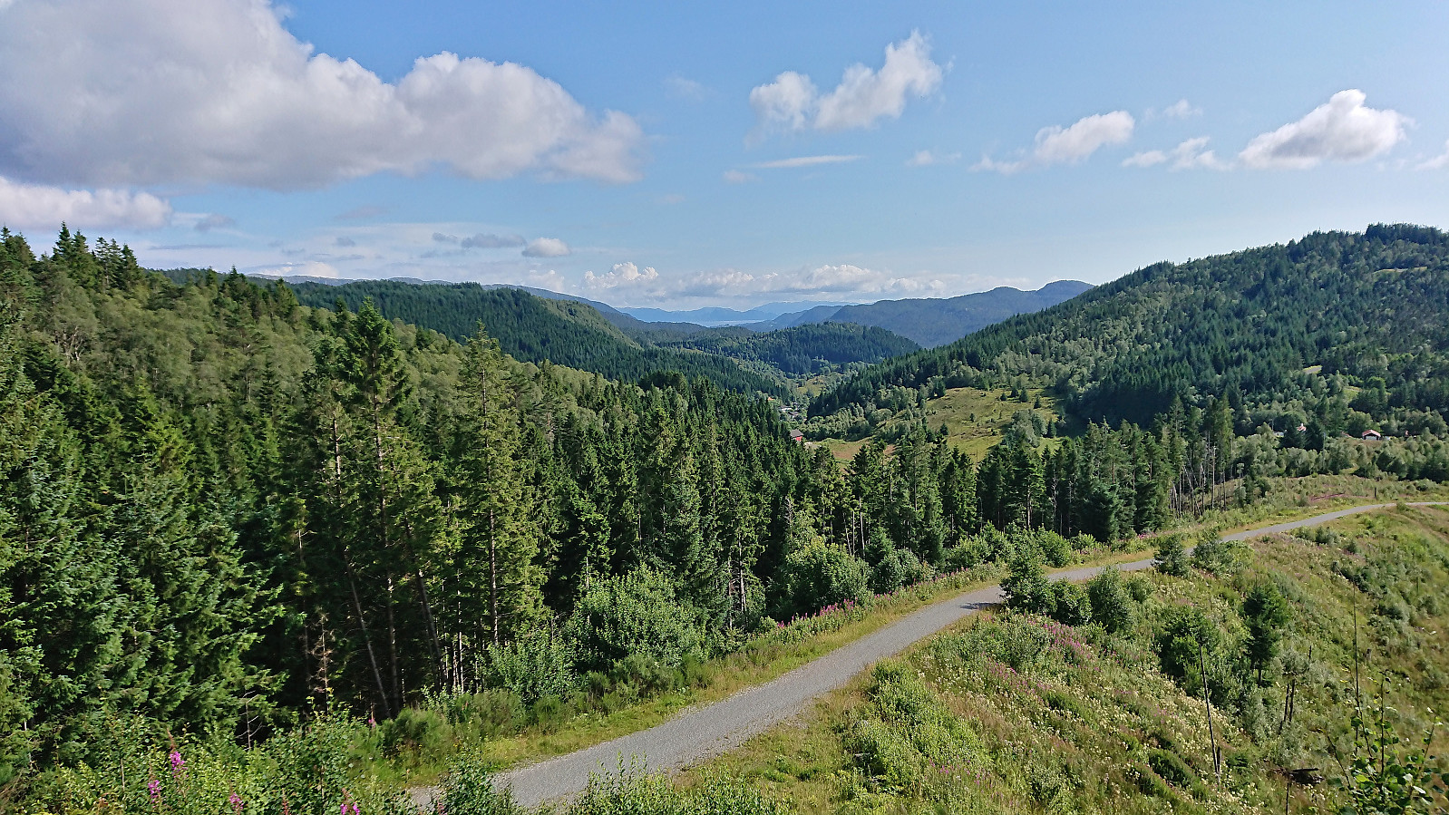
After a week of minimal activity due to a cold, I was finally feeling a bit better and decided to test my energy level with a cycling trip to Ytstafjellet. Besides the climb from Myrdalsvatnet to Totland/Riple feeling slightly harder than normal, I made it to the top of the gravel road right next to the highest point of Ytstafjellet without any real issues. Here I left the bike and completed the final less than 60 meters to the summit on foot. No views or any other interesting features to speak of, hence I quickly returned to the bike and proceeded to follow the nice gravel roads southwest, which provided some surprisingly good views towards the south. I then turned north and reconnected with the main road and completed the trip home to Lønborg.
| Start date | 27.07.2023 14:33 (UTC+01:00 DST) |
| End date | 27.07.2023 18:48 (UTC+01:00 DST) |
| Total Time | 4h 15min |
| Moving Time | 4h 04min |
| Stopped Time | 0h 11min |
| Overall Average | 12.2km/h |
| Moving Average | 12.8km/h |
| Distance | 52.1km |
| Vertical meters | 786m |


User comments
Artig høydekontur!
Written by knutsverre 28.07.2023 11:22Lang tur til en ubetydelig «topp»! Men høydekonturen kan jo feiltolkes som om dette er en skikkelig topp med PF på nesten 350!
Re: Artig høydekontur!
Written by hbar 29.07.2023 13:10Hehe. Så kan man jo også ta med at selve gåturen fra grusveien til toppunktet bare utgjøre 0.1 km av totalt 52.1 km... ;)