
Kossdalssvingane (16.04.2023)

Written by hbar (Harald Barsnes)

| Start point | Hosanger Montessoriskule (43m) |
|---|---|
| Endpoint | Hosanger Montessoriskule (43m) |
| Characteristic | Hike |
| Duration | 2h 16min |
| Distance | 8.1km |
| Vertical meters | 326m |
| GPS |
|
| Visits of other PBEs | Kossdalssvingane (125m) | 16.04.2023 |
|---|
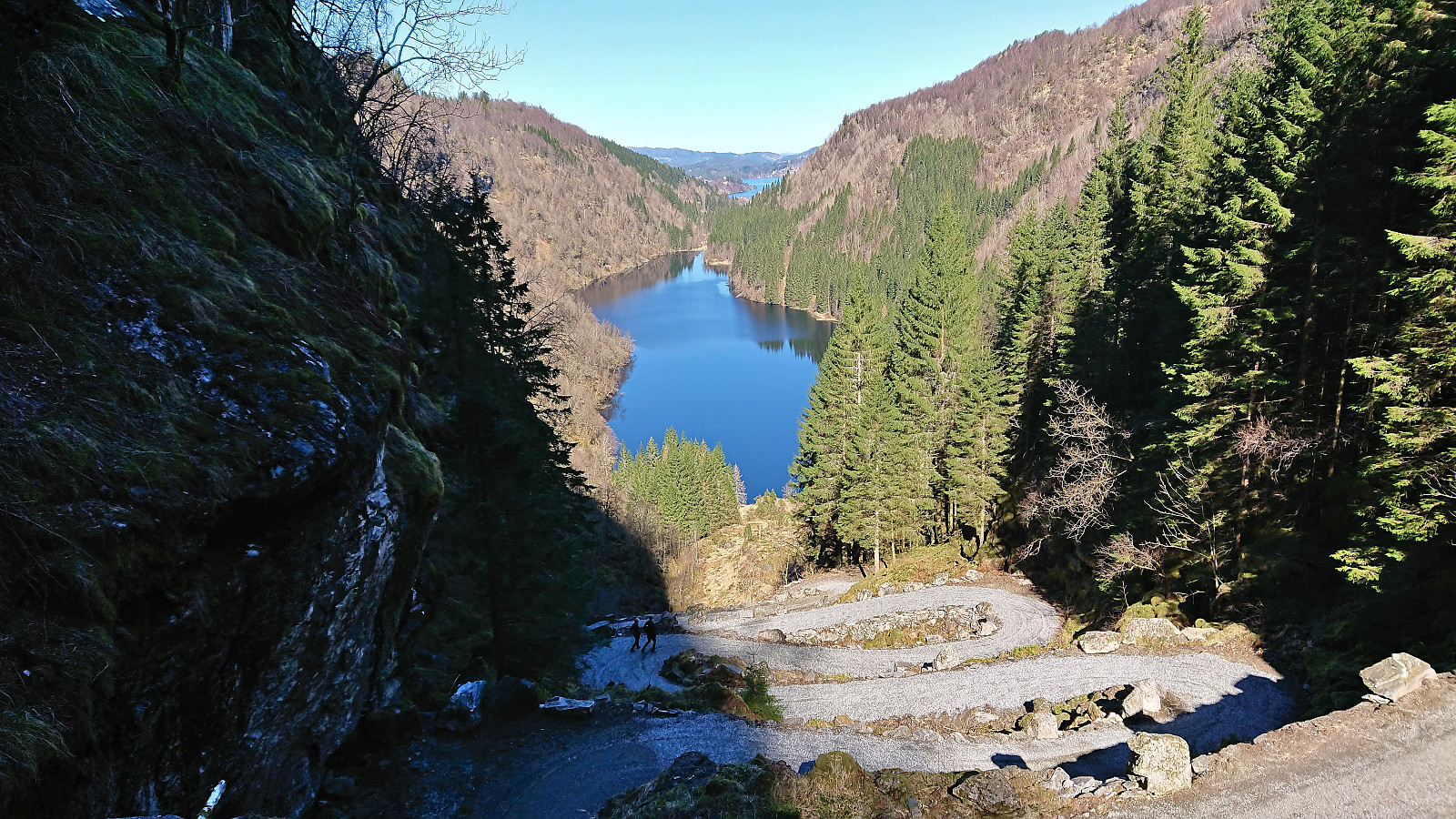
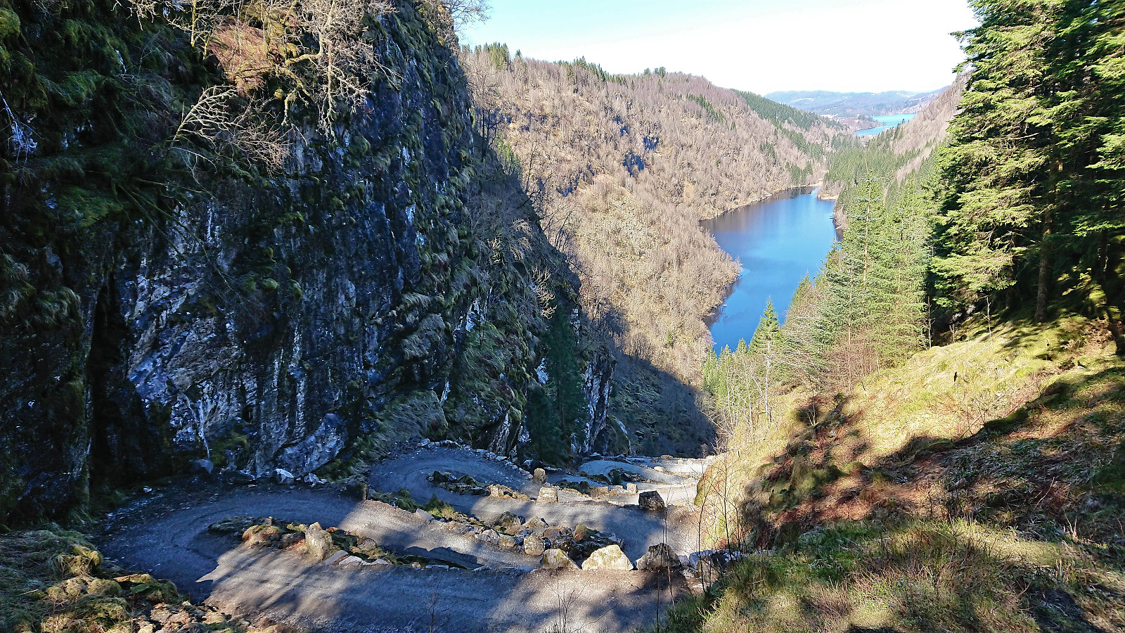
Kossdalssvingane
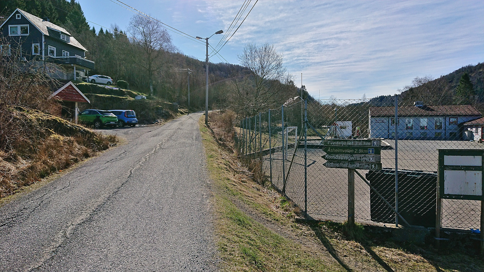
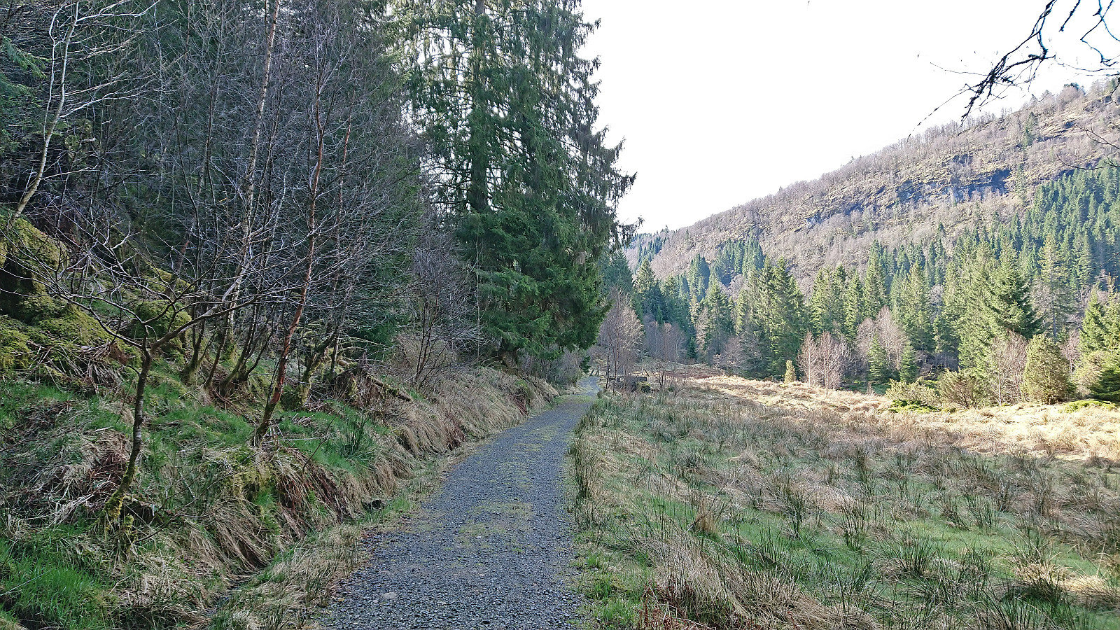
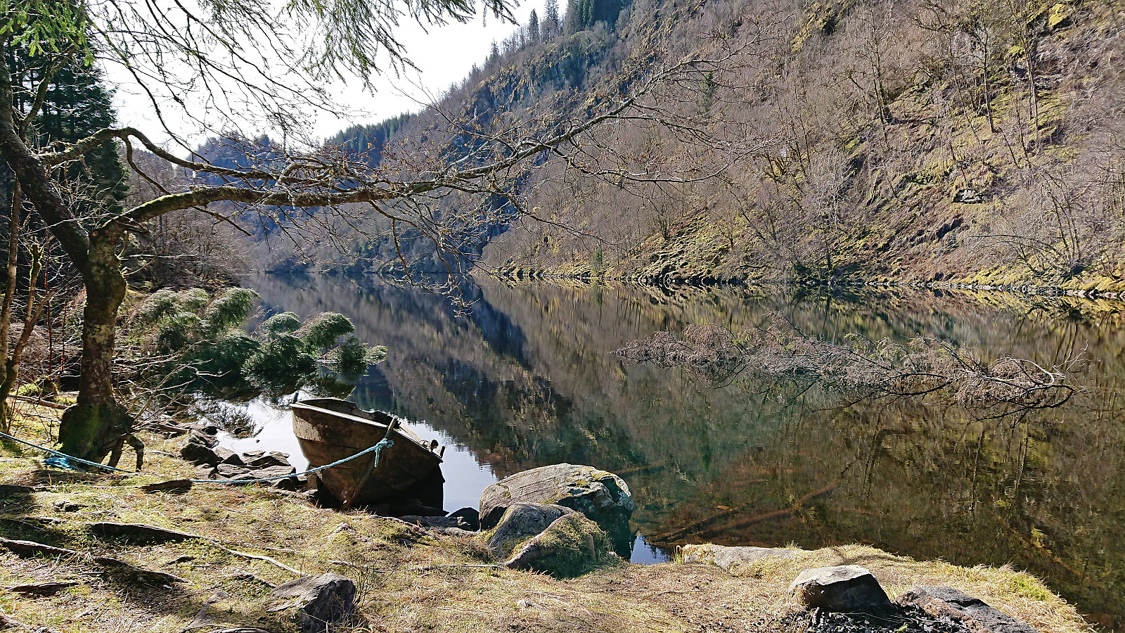
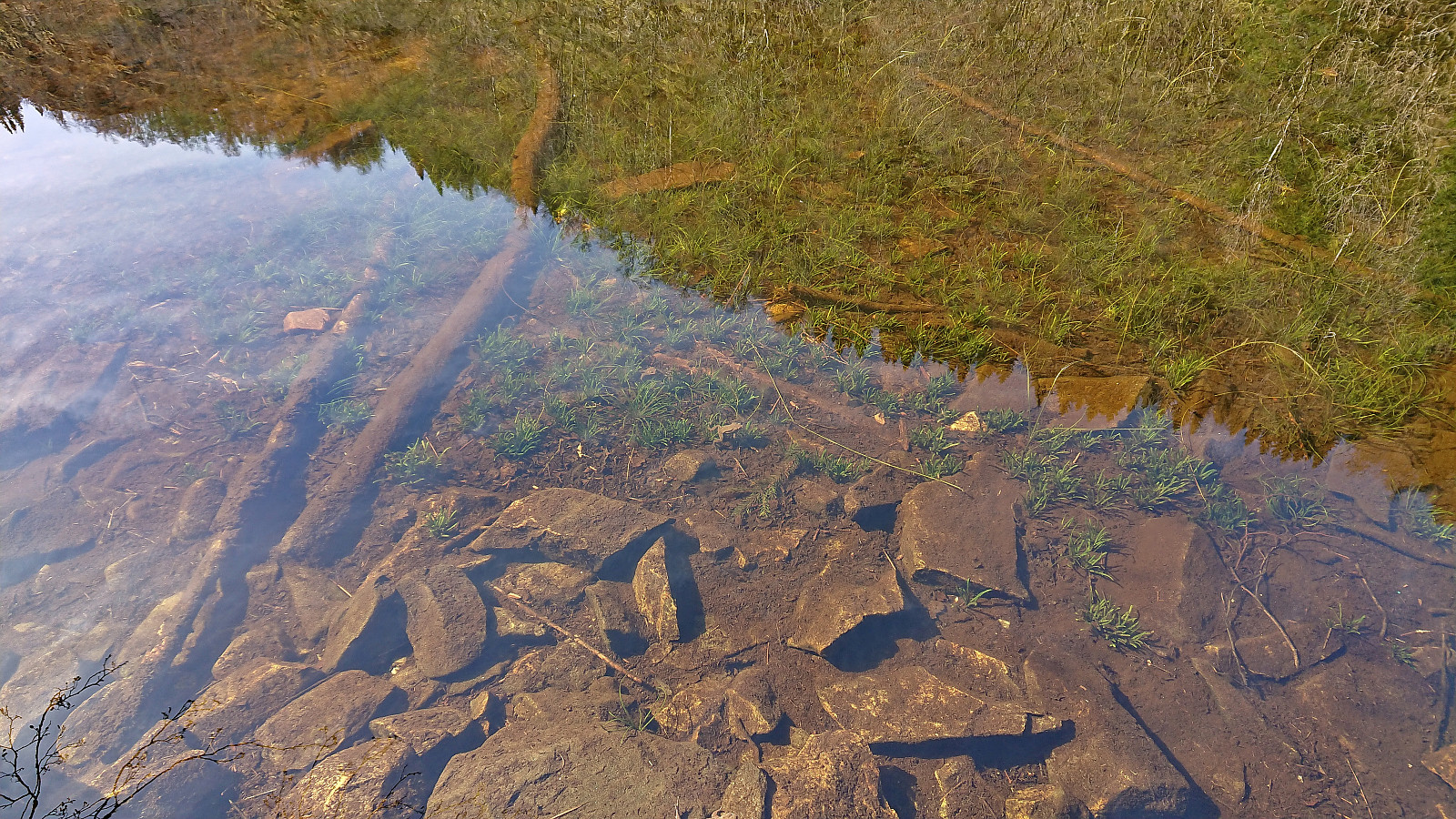
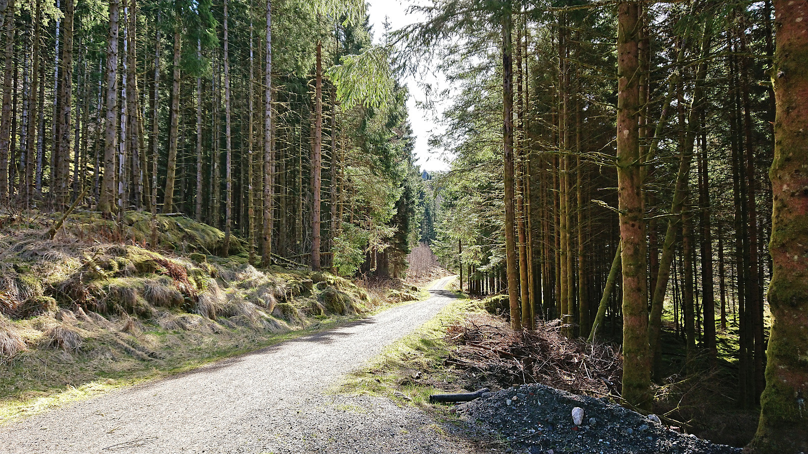
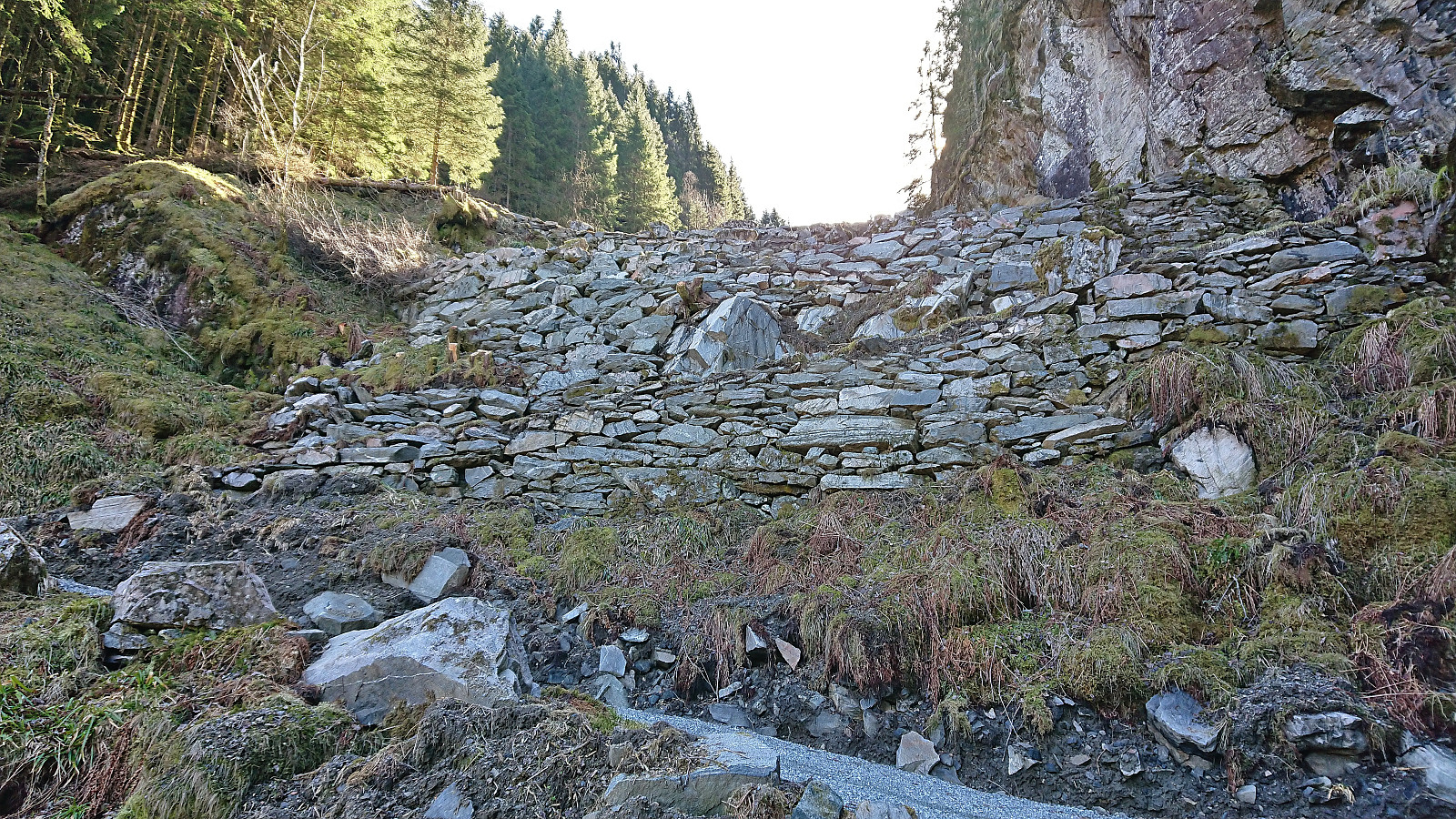
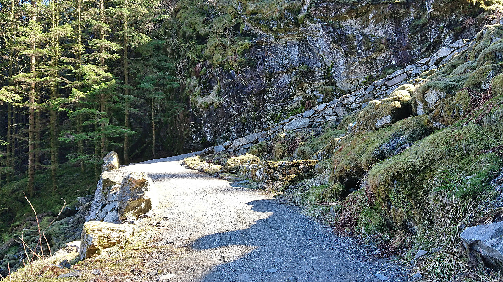
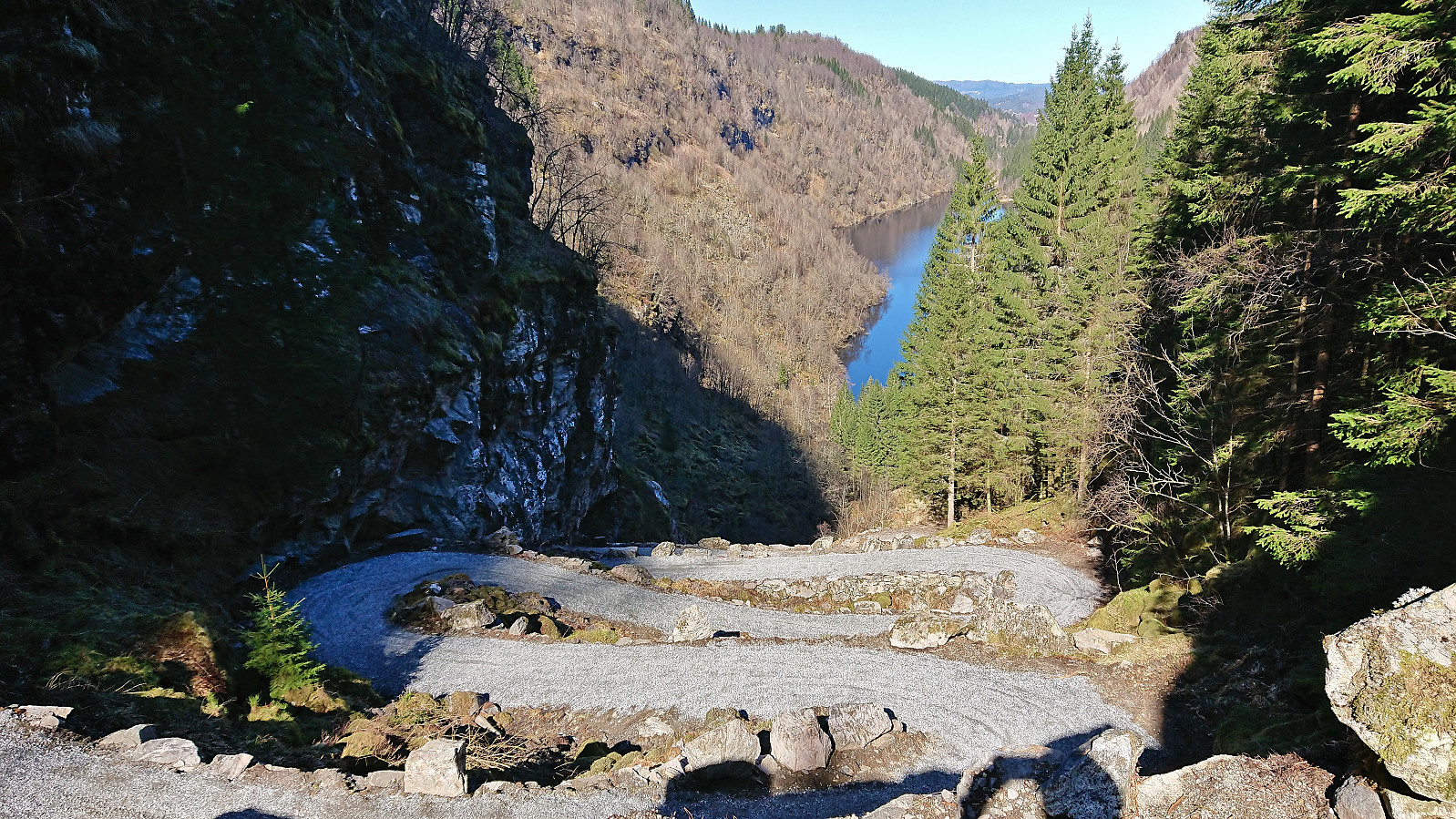
A return to Osterøy for a visit of Kossdalssvingane. We parked outside Hosanger Montessoriskule and started on the indicated roundtrip around Holevatnet before heading southeast along Kossdalsvatnet to arrive at the bottom of the very impressive Kossdalssvingane. After ascending to the top of the 17 steep hairpin turns we continued southeast to the upper parking lot before returning the same way, however this time following the gravel road on the west side of Holevatnet and completing our roundtrip. In summary, an excellent short hike that can be very highly recommended!
| Start date | 16.04.2023 10:41 (UTC+01:00 DST) |
| End date | 16.04.2023 12:58 (UTC+01:00 DST) |
| Total Time | 2h 16min |
| Moving Time | 2h 05min |
| Stopped Time | 0h 11min |
| Overall Average | 3.5km/h |
| Moving Average | 3.9km/h |
| Distance | 8.1km |
| Vertical meters | 325m |


User comments