
Kjeneset and Såta (30.10.2022)

Written by hbar (Harald Barsnes)

| Start point | Krokeide videregående skole (29m) |
|---|---|
| Endpoint | Krokeide videregående skole (29m) |
| Characteristic | Hillwalk |
| Duration | 1h 26min |
| Distance | 5.0km |
| Vertical meters | 181m |
| GPS |
|
| Ascents | Kjeneset (53m) | 30.10.2022 |
|---|---|---|
| Såta Korsneset (73m) | 30.10.2022 |
Kjeneset and Såta
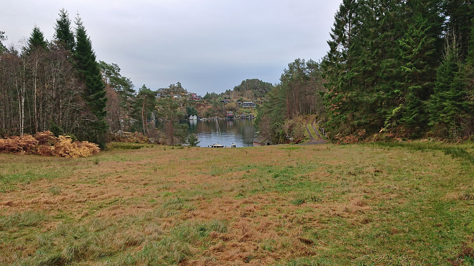
Initial plans to spend the Sunday hiking at Voss had to be abandoned when I for once did not manage to generate the required activation energy to get up and out the door before sunrise, mainly due to suboptimal weather forecasts and overall very wet terrain.
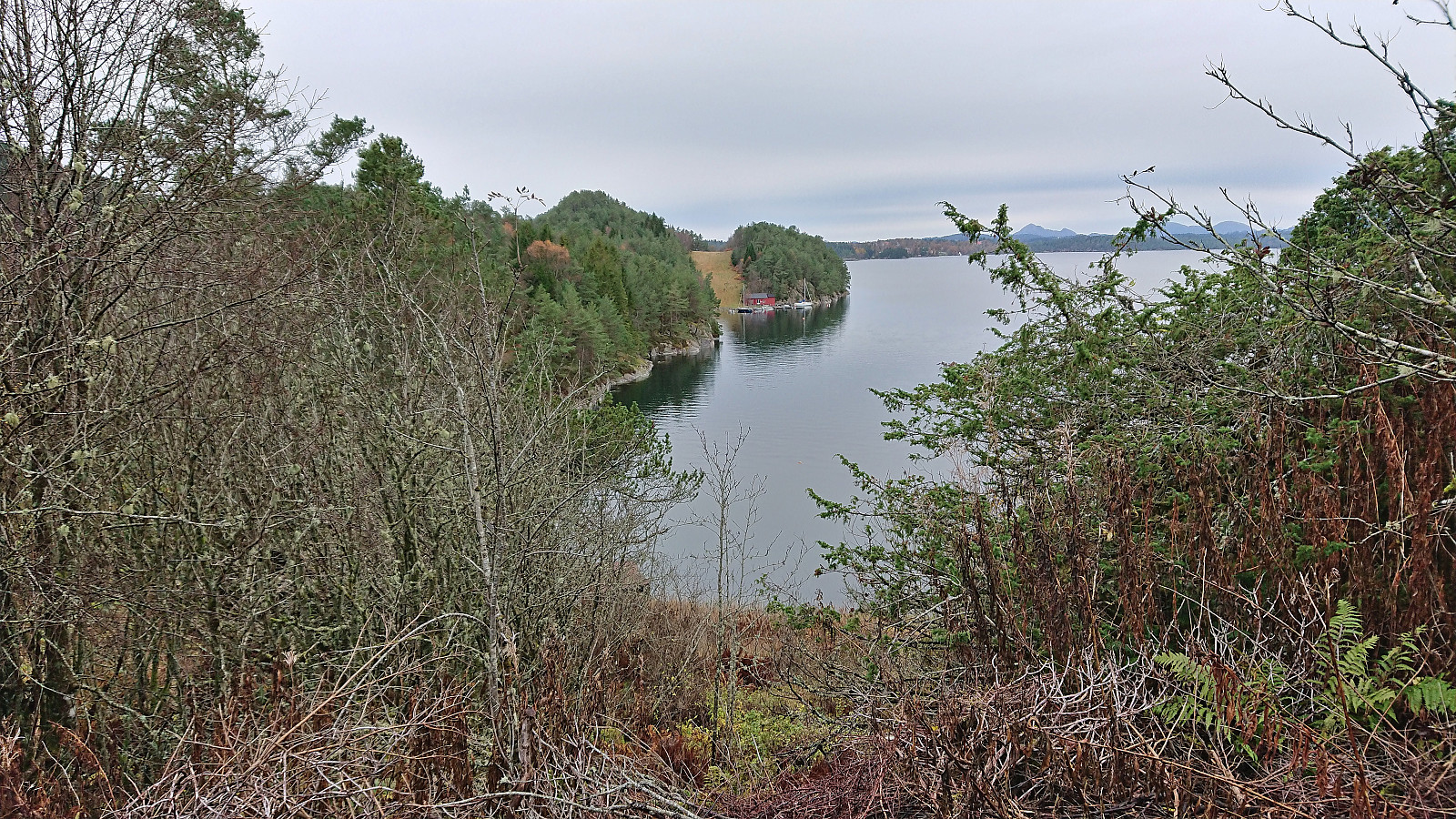
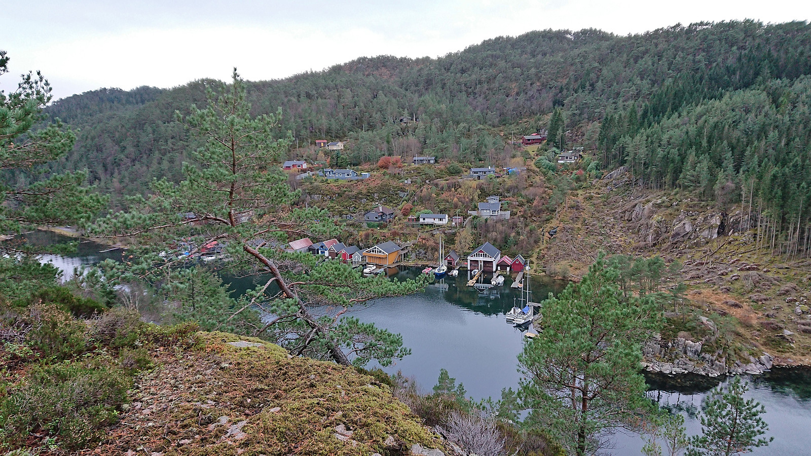
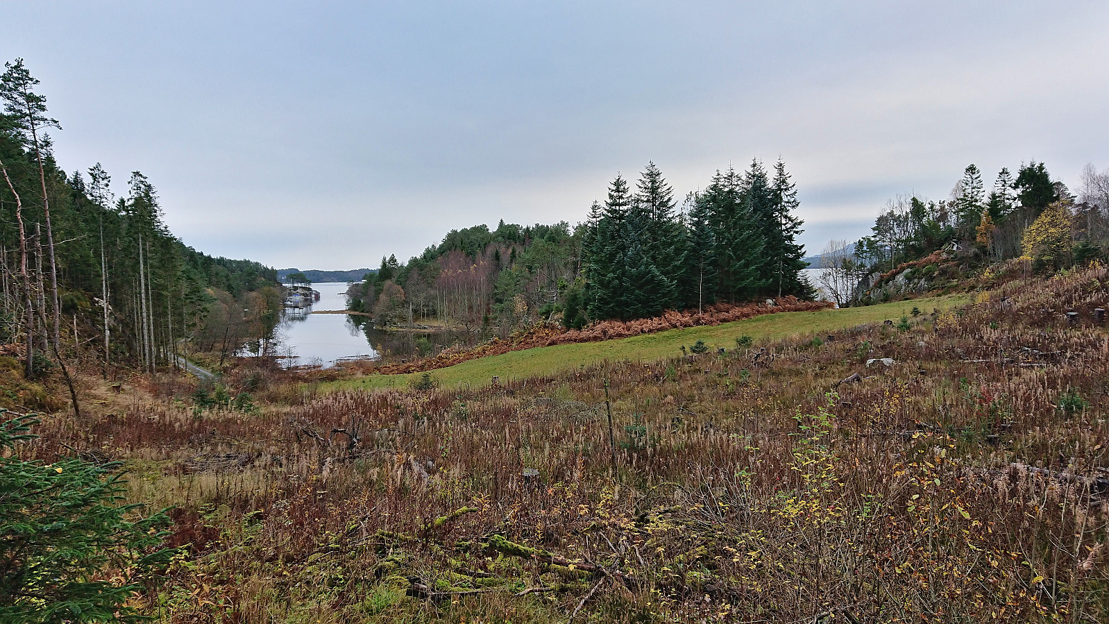
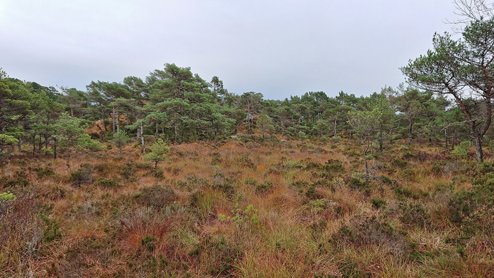
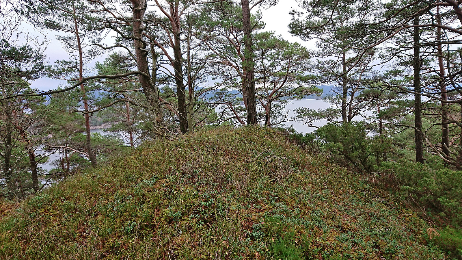
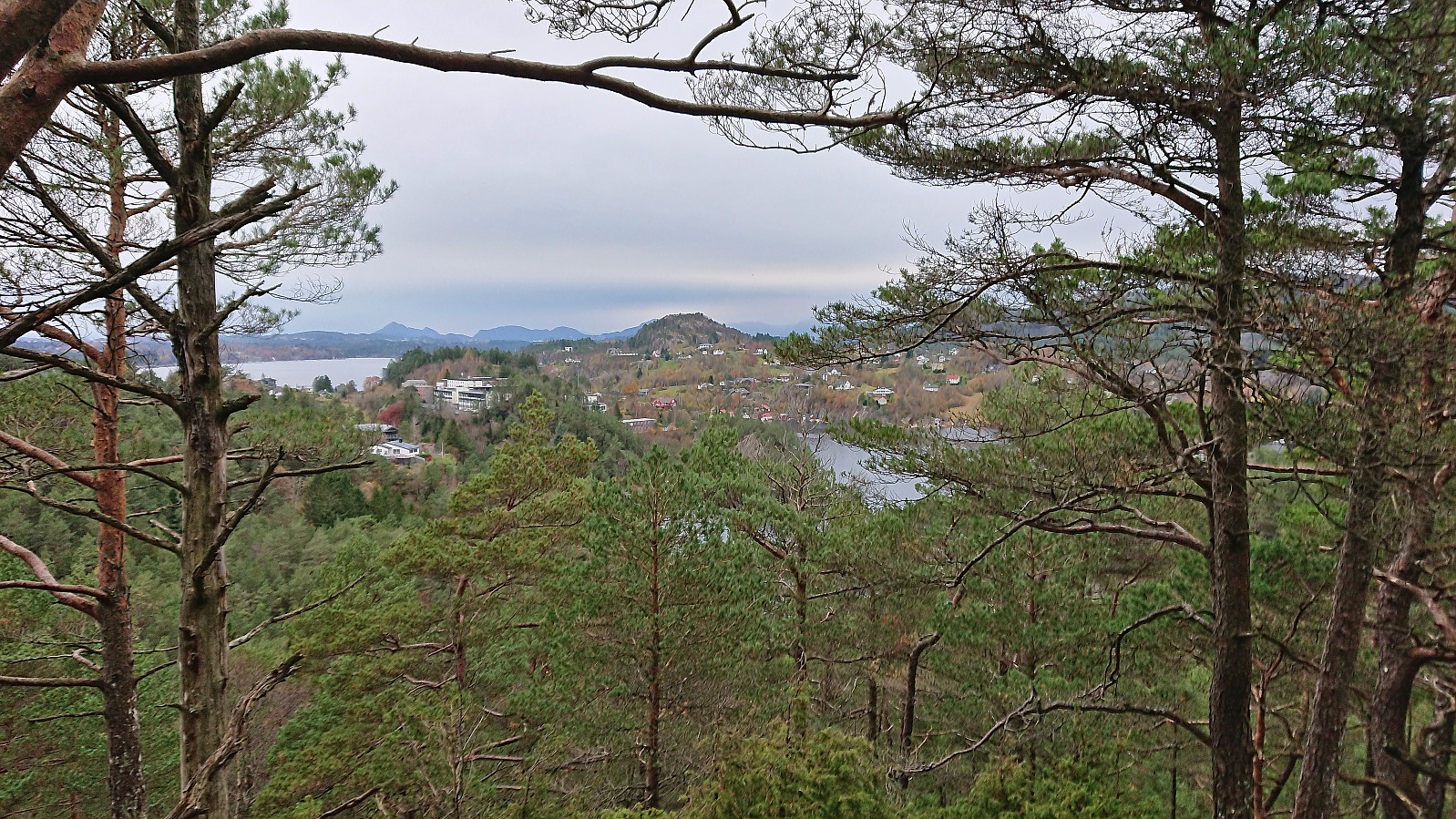
As a replacement I went for a shorter hike later in the day at Korsneset to visit yet more minor summits on the Alle topper i Bergen list, namely Kjeneset and Såta. Two summits I had been saving for just such a gray and rainy day.
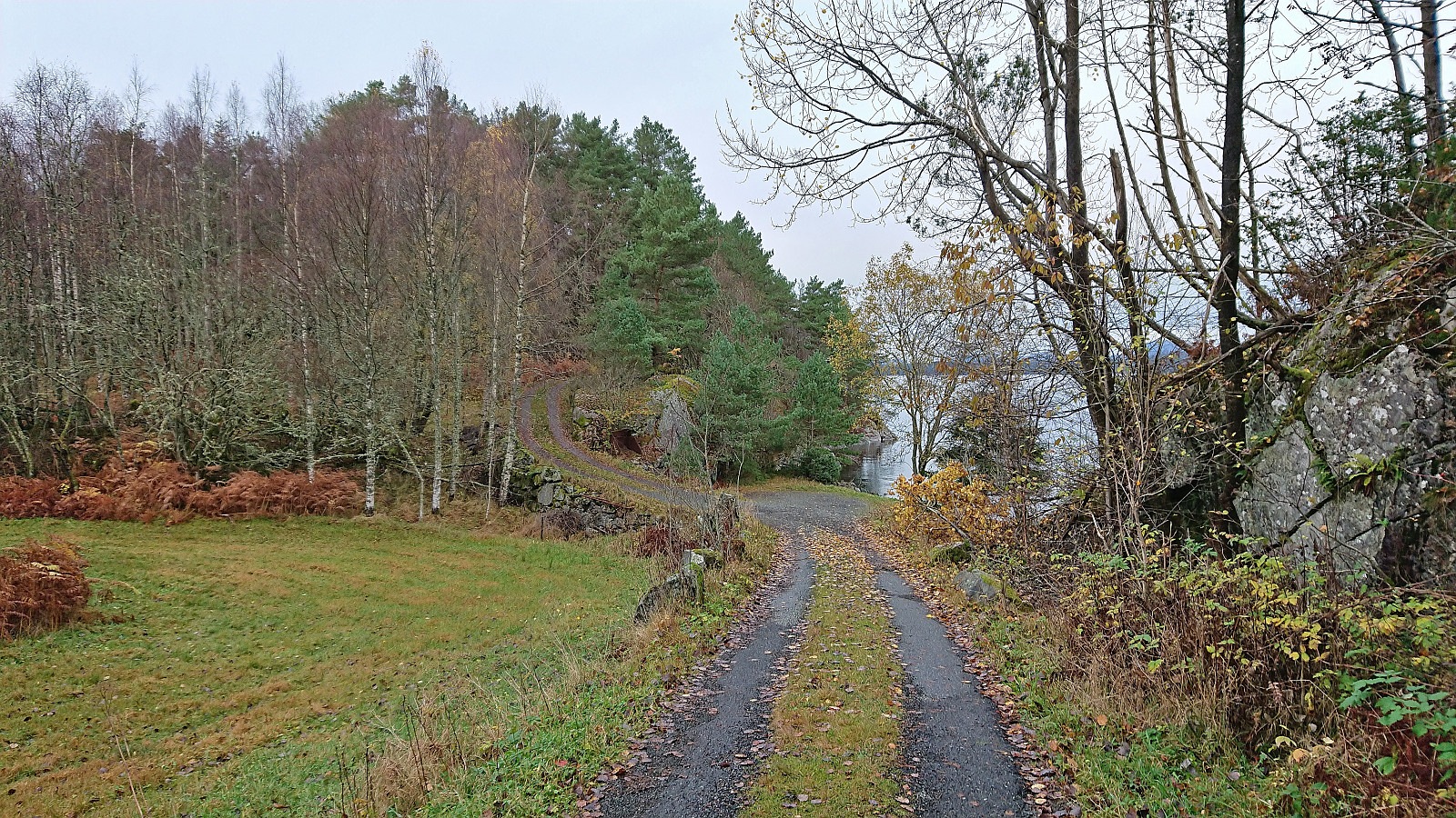
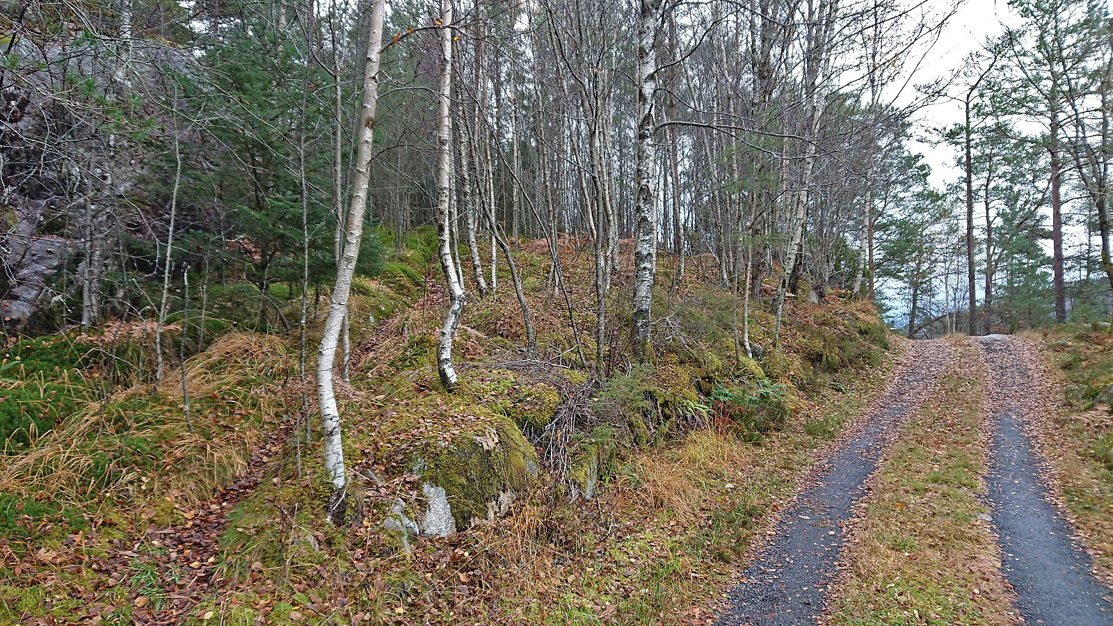
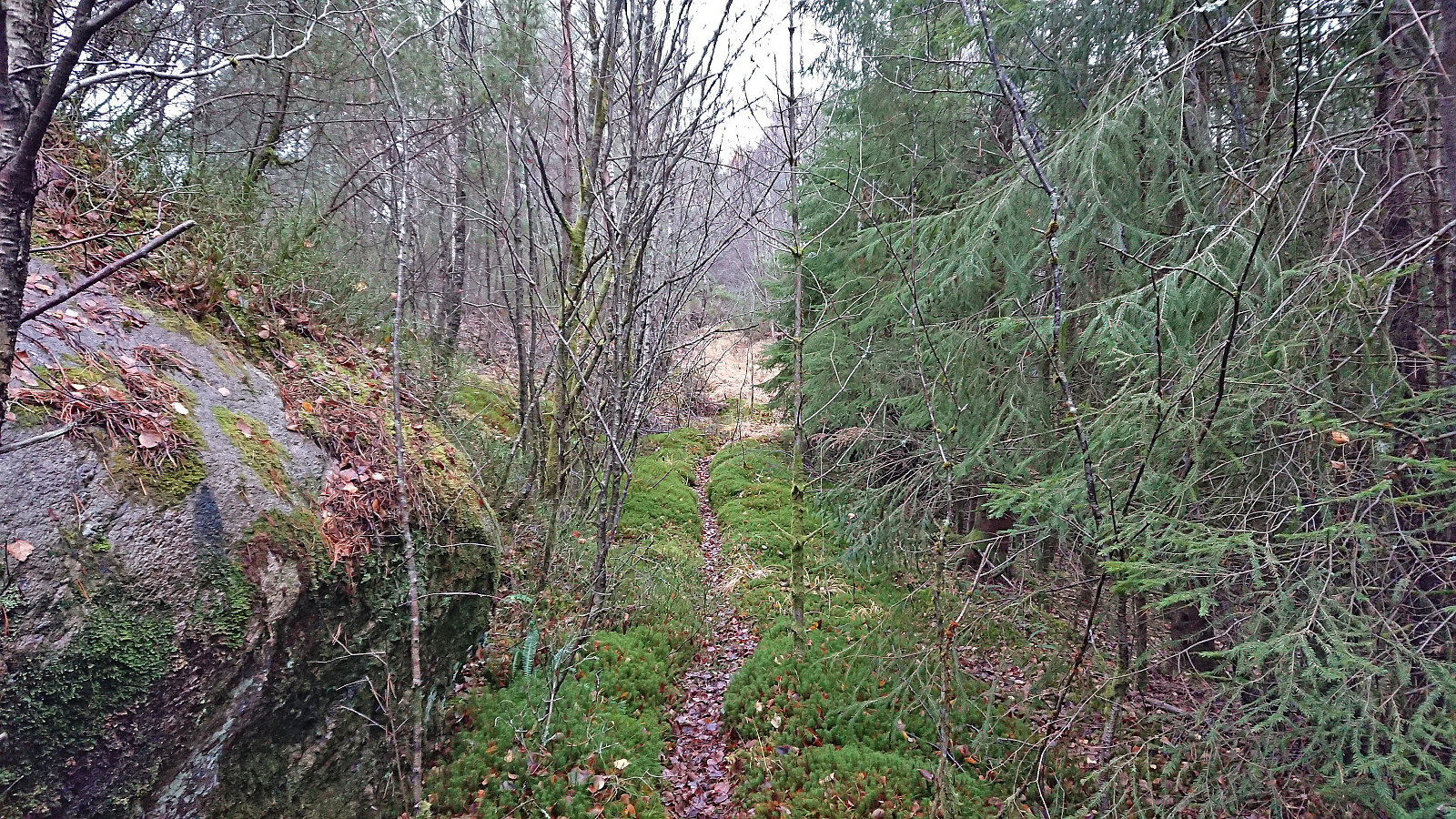
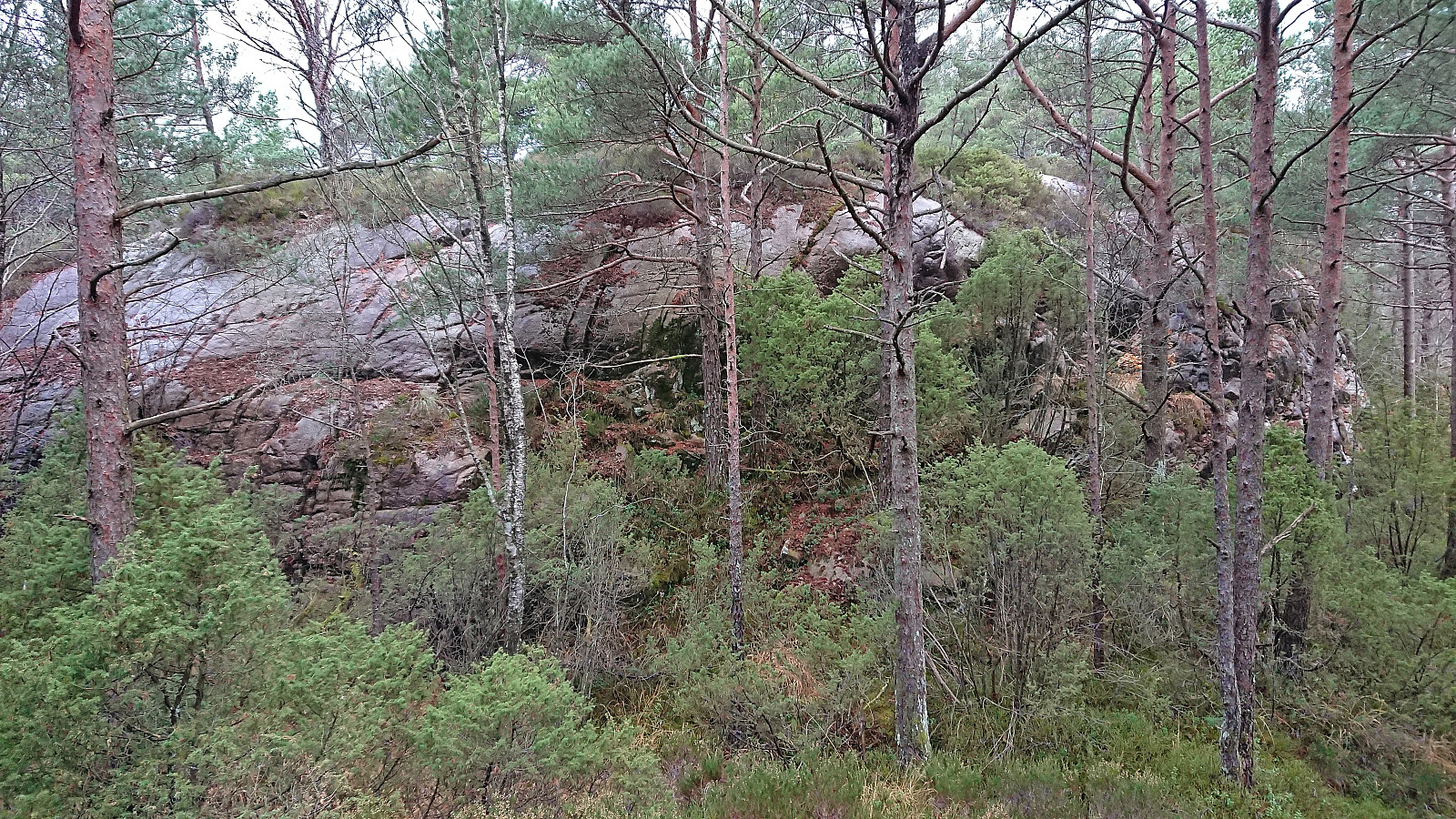
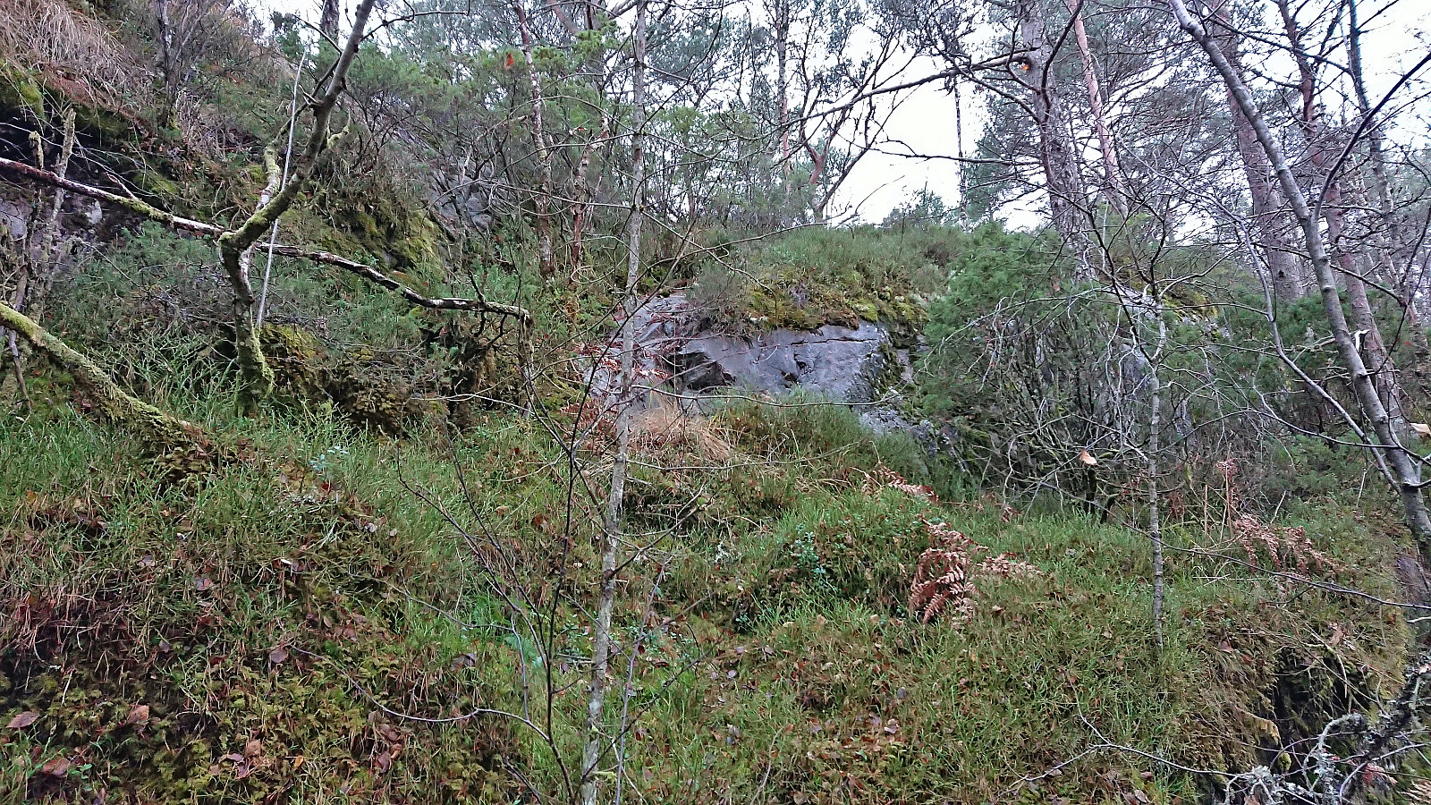
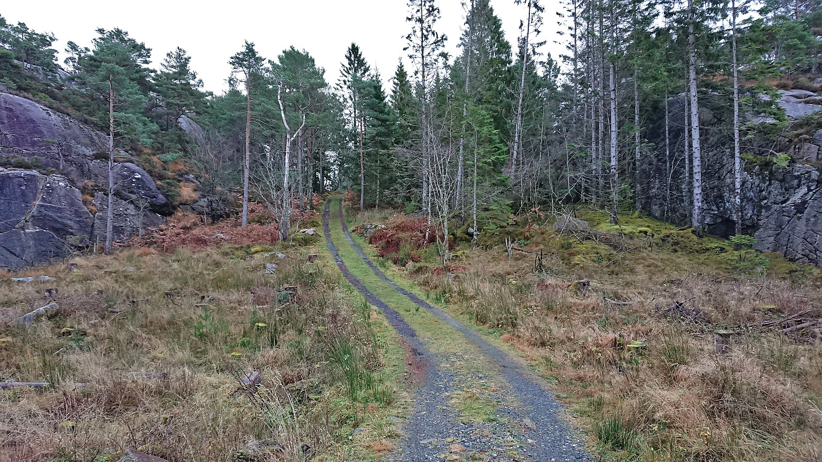
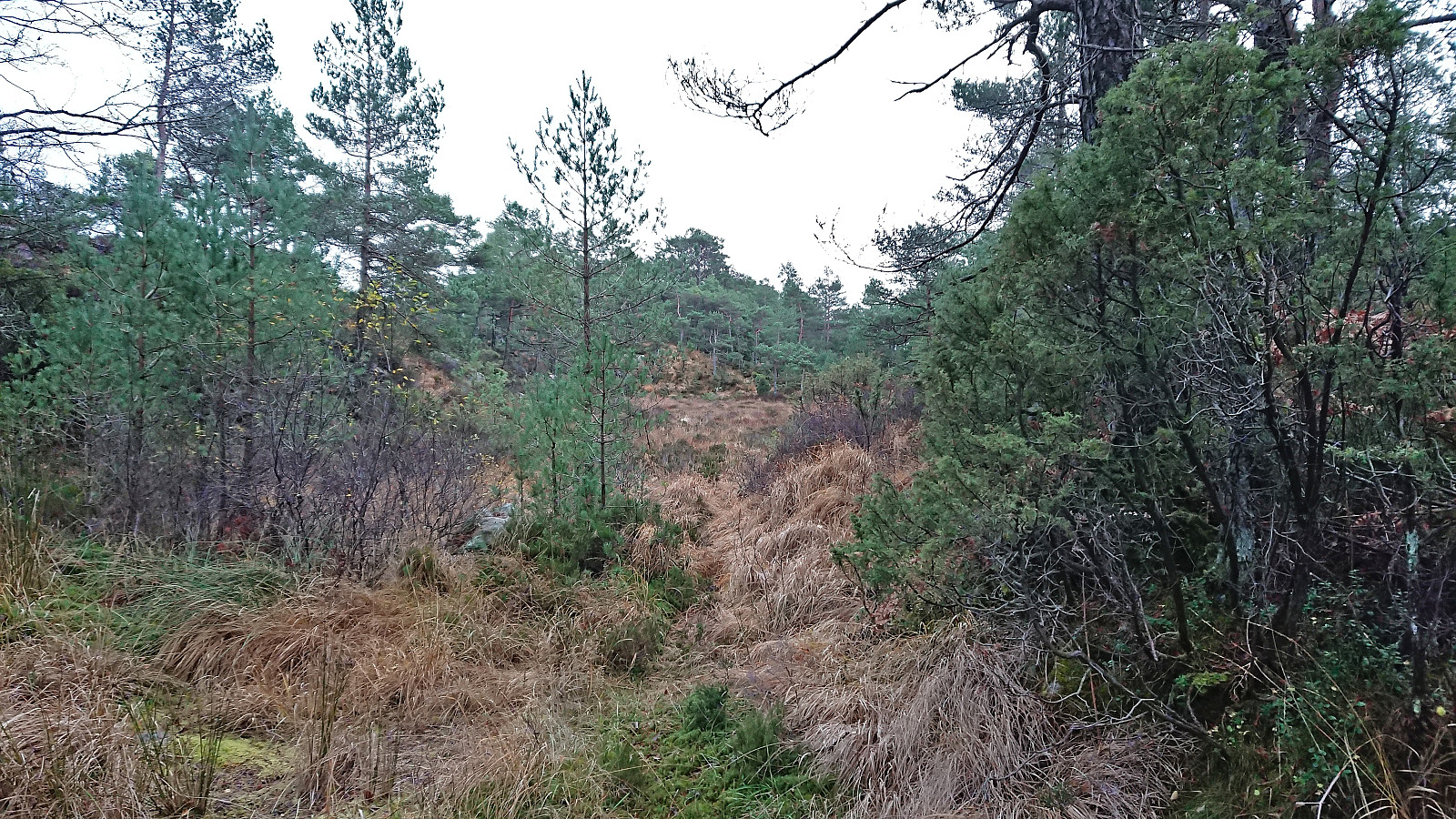
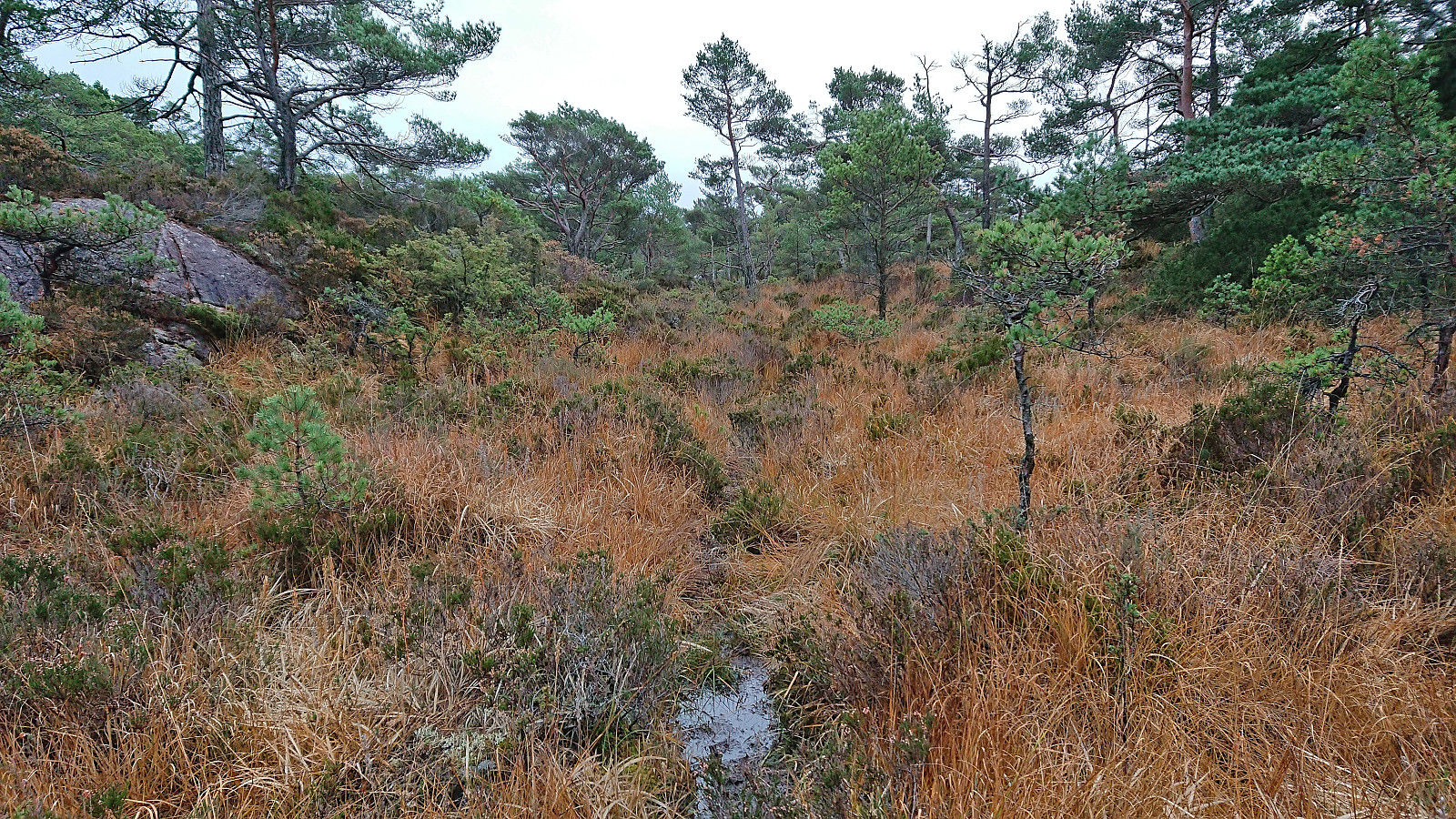
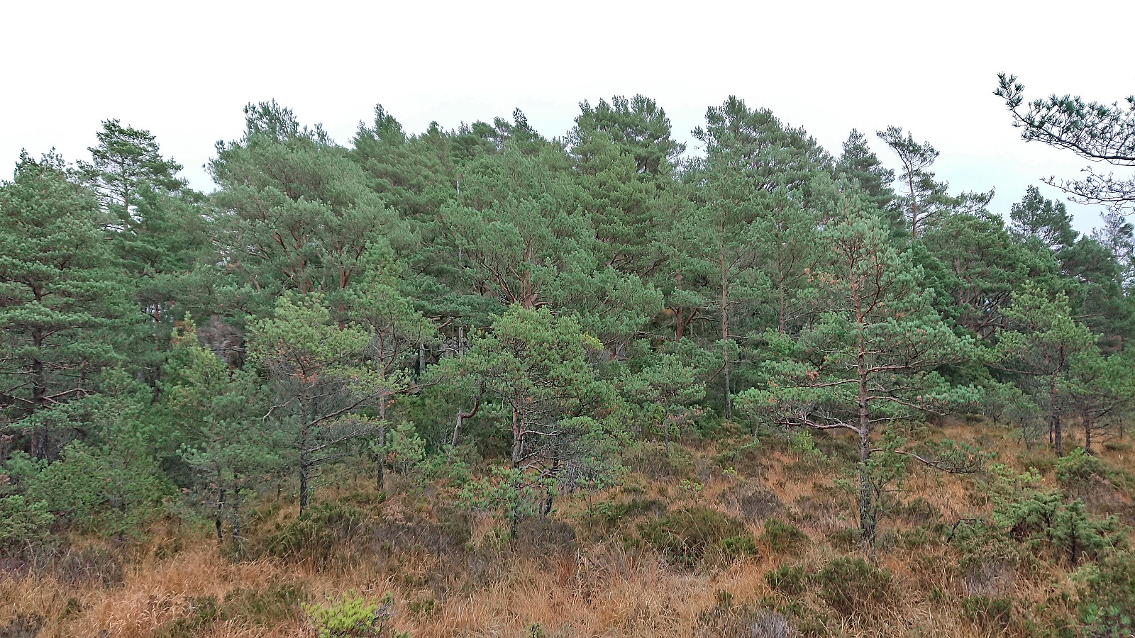
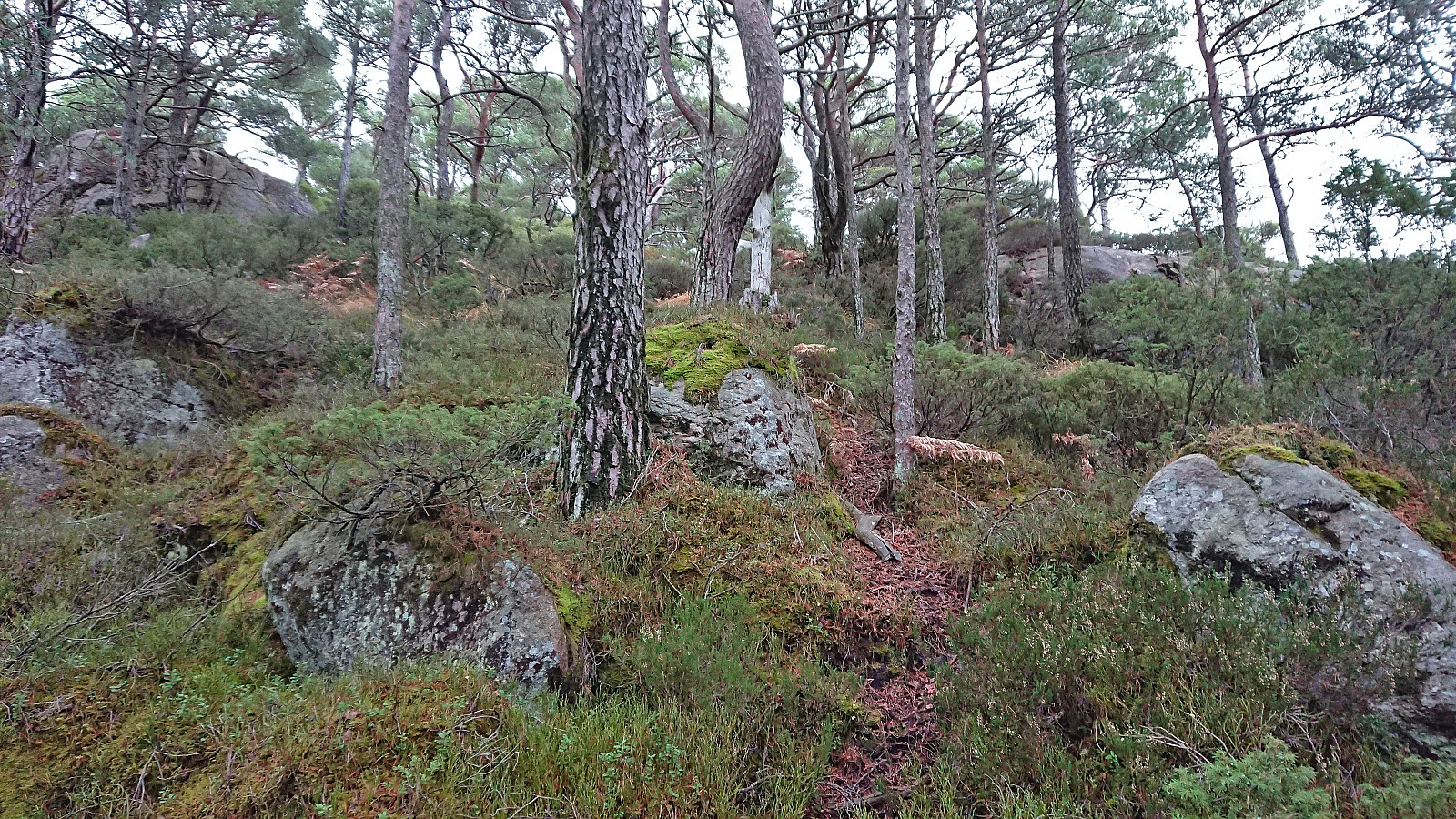
After arriving by bus, I pretty much followed in the footsteps of either Kjell51 (Kjell Øijorden) or knutsverre (Knut S. Andersen), where the only real challenge was finding a route up the short step ascent south of the summit of Kjeneset. In the end I found a location where only a little bit of light scrambling was needed. No such issues to reach Såta, but instead there were plenty of wet and muddy areas to traverse.
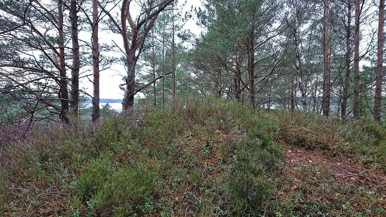
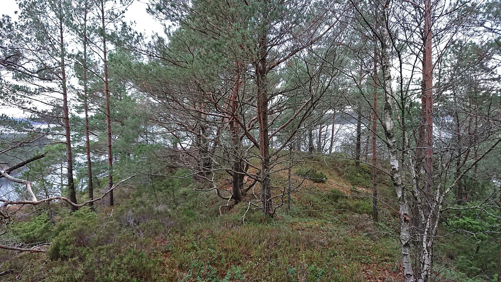
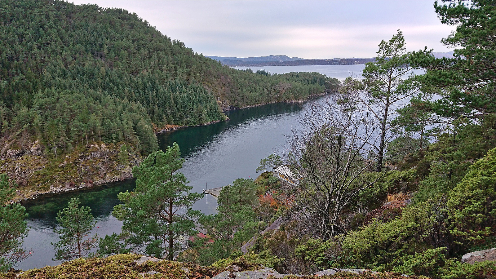
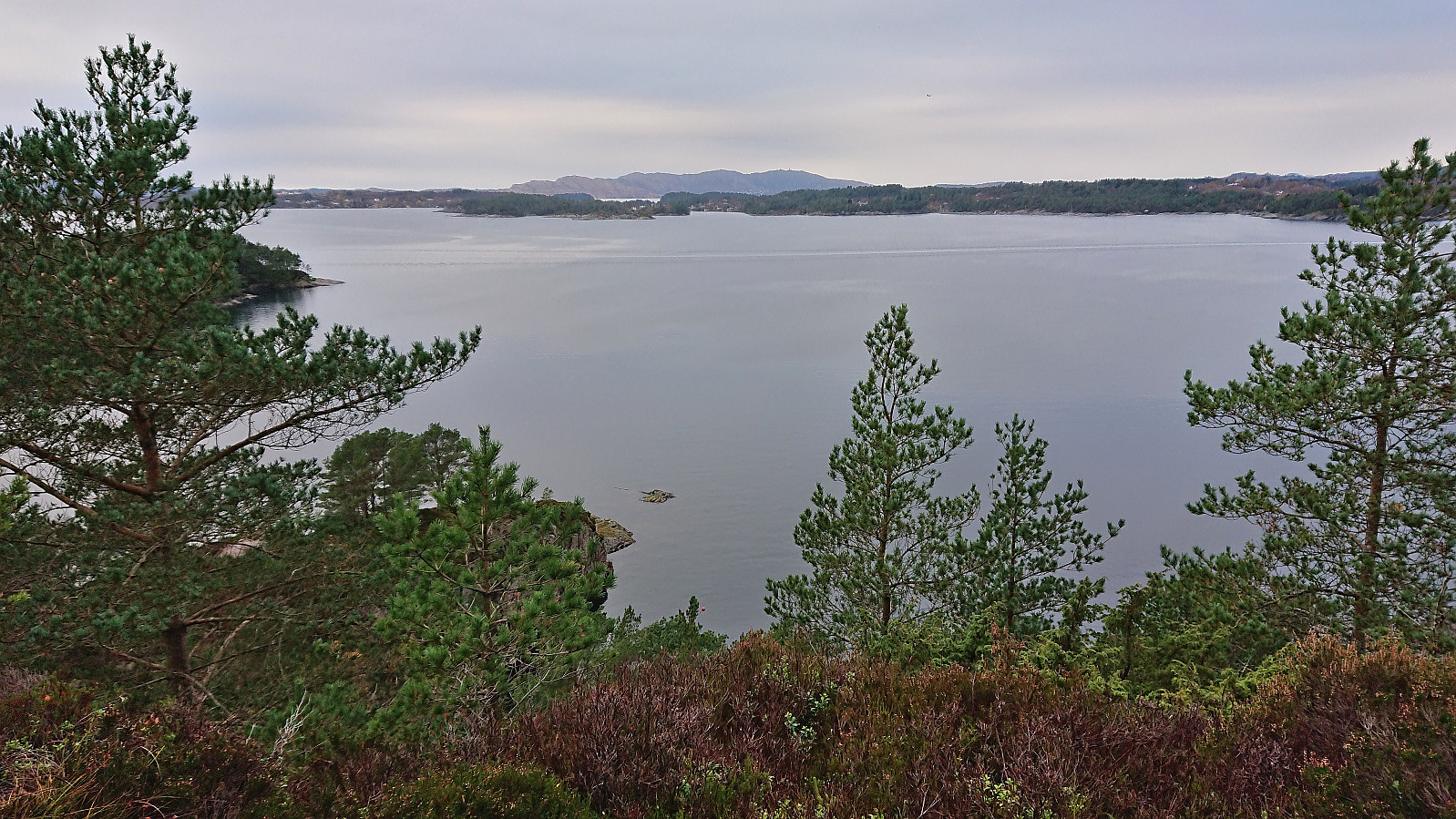
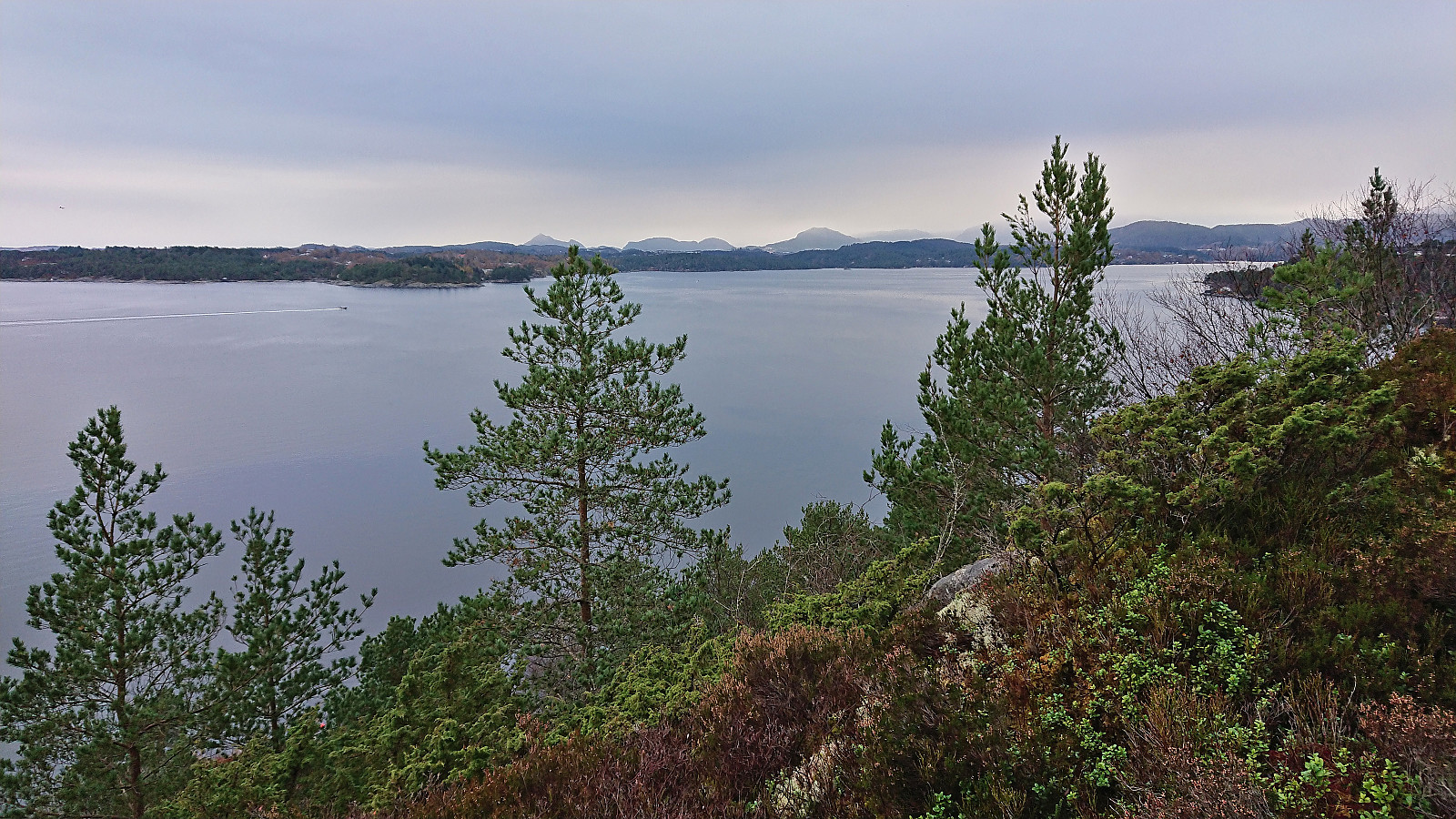
Of the two summits, Kjeneset clearly had the better views, but I'm still pretty sure that I will not be returning to any of these summits any time soon.
| Start date | 30.10.2022 13:24 (UTC+01:00) |
| End date | 30.10.2022 14:50 (UTC+01:00) |
| Total Time | 1h 26min |
| Moving Time | 1h 20min |
| Stopped Time | 0h 6min |
| Overall Average | 3.5km/h |
| Moving Average | 3.8km/h |
| Distance | 5.0km |
| Vertical meters | 180m |


User comments