
Kanadaskogen from Varden (28.05.2022)

Written by HHauser (Helwig Hauser)

| Start point | Varden (45m) |
|---|---|
| Endpoint | Varden (45m) |
| Characteristic | Hike |
| Duration | 1h 30min |
| Distance | 4.6km |
| Vertical meters | 304m |
| GPS |
|
| Ascents | Hesjaholten (106m) | 28.05.2022 |
|---|---|---|
| Visits of other PBEs | Øst for Elvareidet (60m) | 28.05.2022 |
Note that this track has been created from memory, i.e., it was not recorded automatically.

Trip Summary
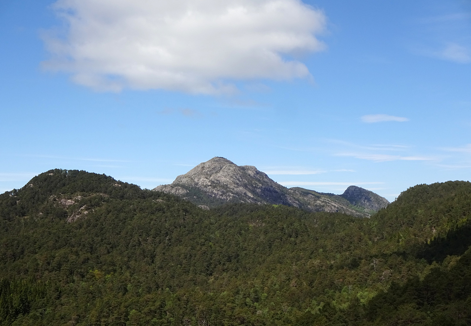
Walk through Kanadaskogen from Varden, including Hesjaholten. After first passing by Gjeddevatnet at Skaget, we crossed over some minor hills in northern direction, coming close to Bjørndalsvatnet (but not descending all the way down to it, this time). North of Hesjaholten, we then ascended to one of the small cliffs using a narrow gully in southwards direction. We then included also a neighboring cliff (a little further towards the northeast), before heading back into the direction of Varden, including Hesjaholten along the way. It's definitely possible to experience small but nice micro-adventures in Kanadaskogen! :-)
Photos
Selected photos are available as Google photo album.
Useful Resources
See also the related FB-page Hiking around Bergen, Norway.


User comments