
Raudnipa and Trollabotshaugen from Raunekleiv (16.06.2022)

Written by hbar (Harald Barsnes)

| Start point | Raunekleiv (129m) |
|---|---|
| Endpoint | Hisdal (120m) |
| Characteristic | Hillwalk |
| Duration | 4h 17min |
| Distance | 15.6km |
| Vertical meters | 786m |
| GPS |
|
| Ascents | Raudnipa (711m) | 16.06.2022 |
|---|---|---|
| Trollabotshaugen (678m) | 16.06.2022 | |
| Visits of other PBEs | Raunekleiva parkering (110m) | 16.06.2022 |
Raudnipa and Trollabotshaugen from Raunekleiv
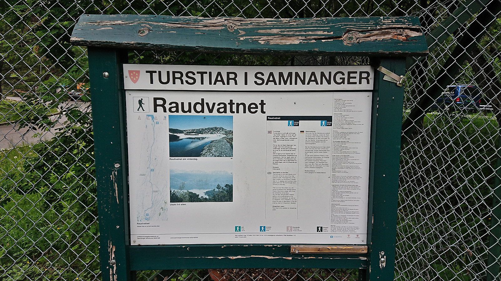
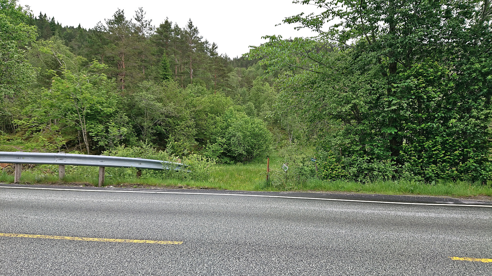
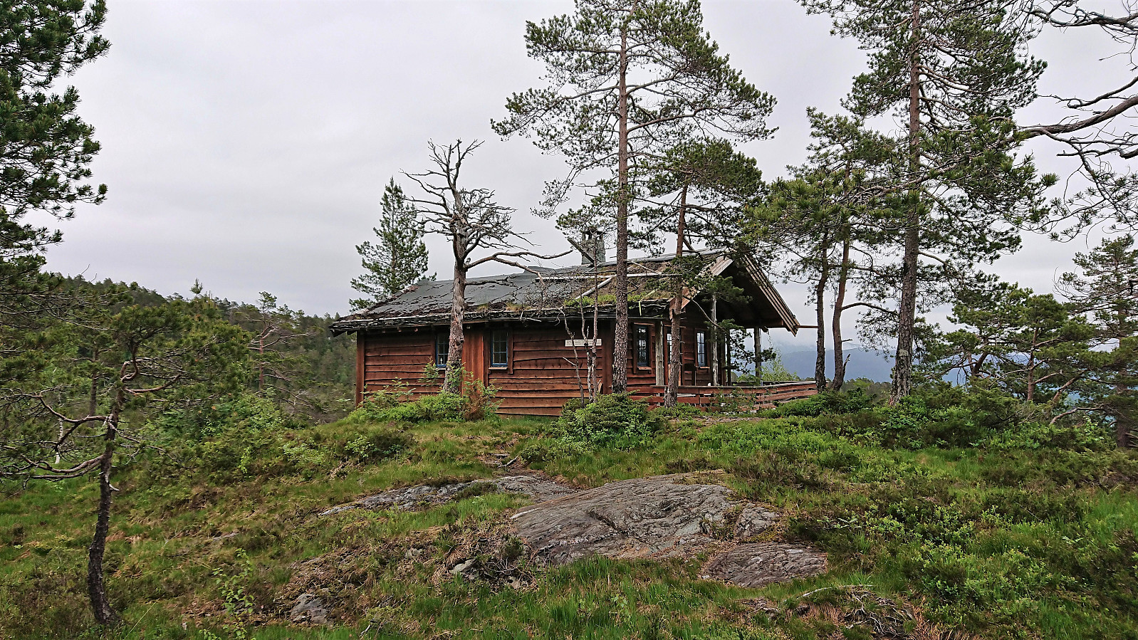
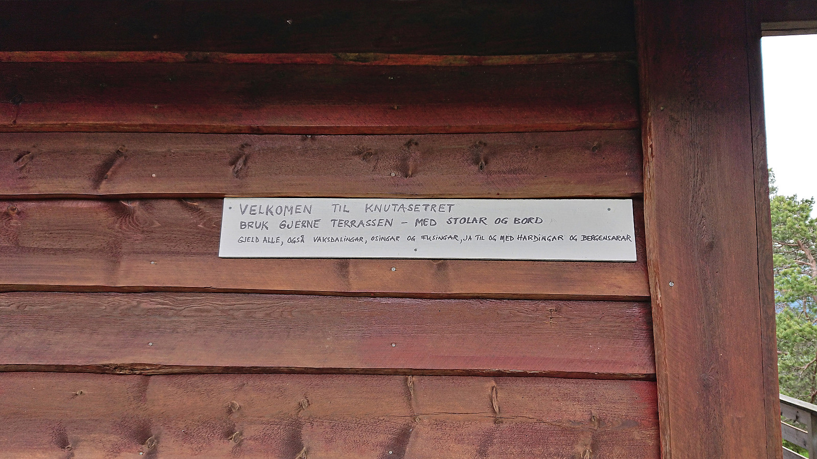
Given that I would be spending all of Friday and Saturday indoors organizing a conference, I left work early the day before and got on a bus to Raunekleiv. The plan was to revisit Raudnipa, but this time ascending from the south via Raudvatnet and also include a visit of Trollabotshaugen, a minor summit on the Alle topper i Bergen list. After a short detour along a smaller road to avoid a tunnel, the marked trailhead was located next to Raunekleiva parkering. As a side note, check out the picture used for the PB-element for the parking lot. Note how it seems to be without an entrance. ;)
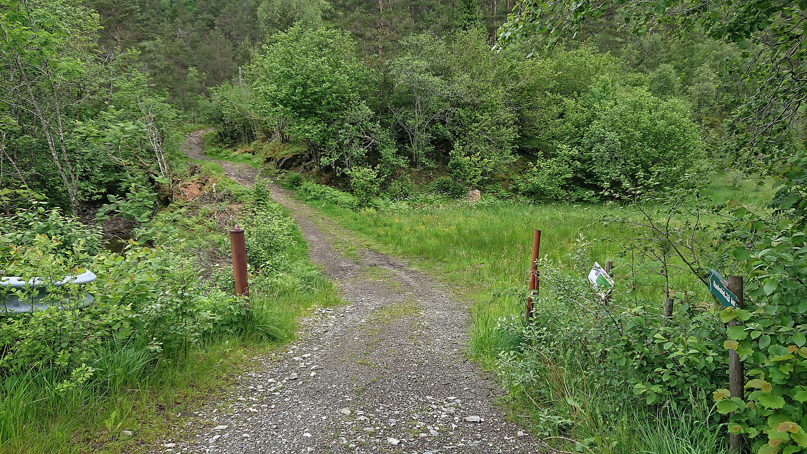
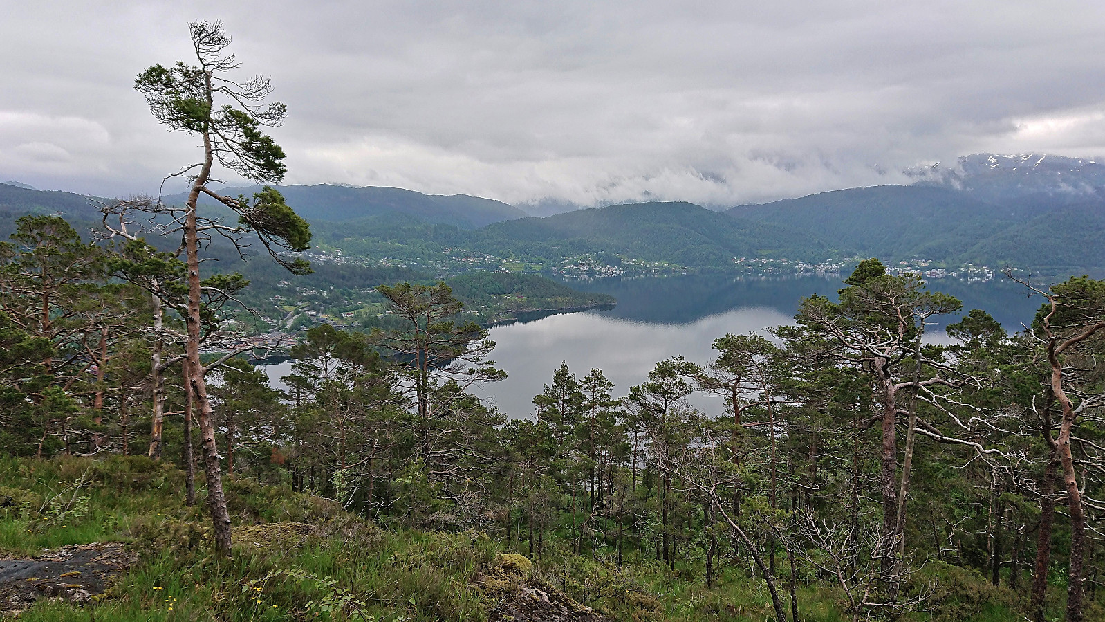
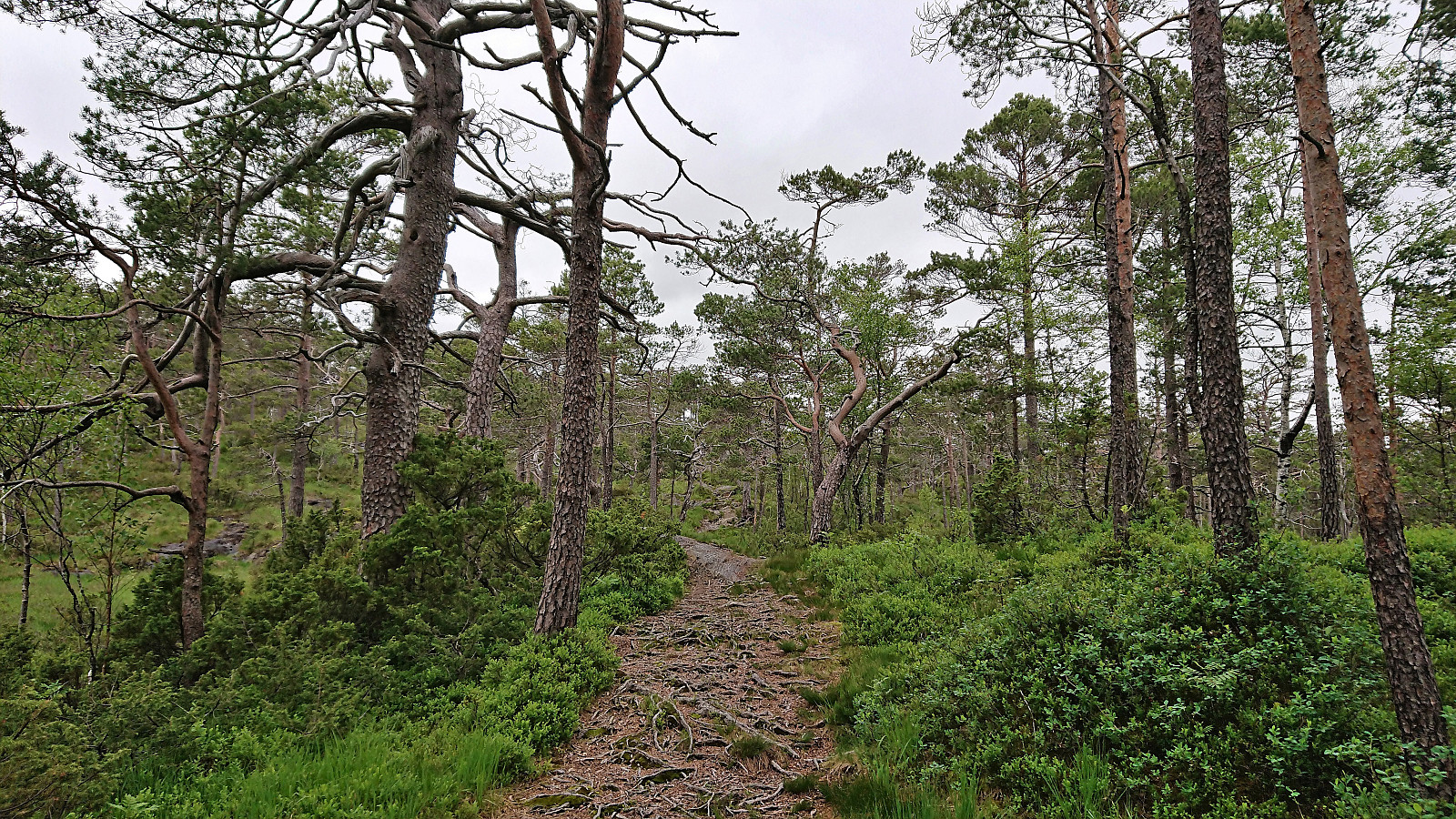
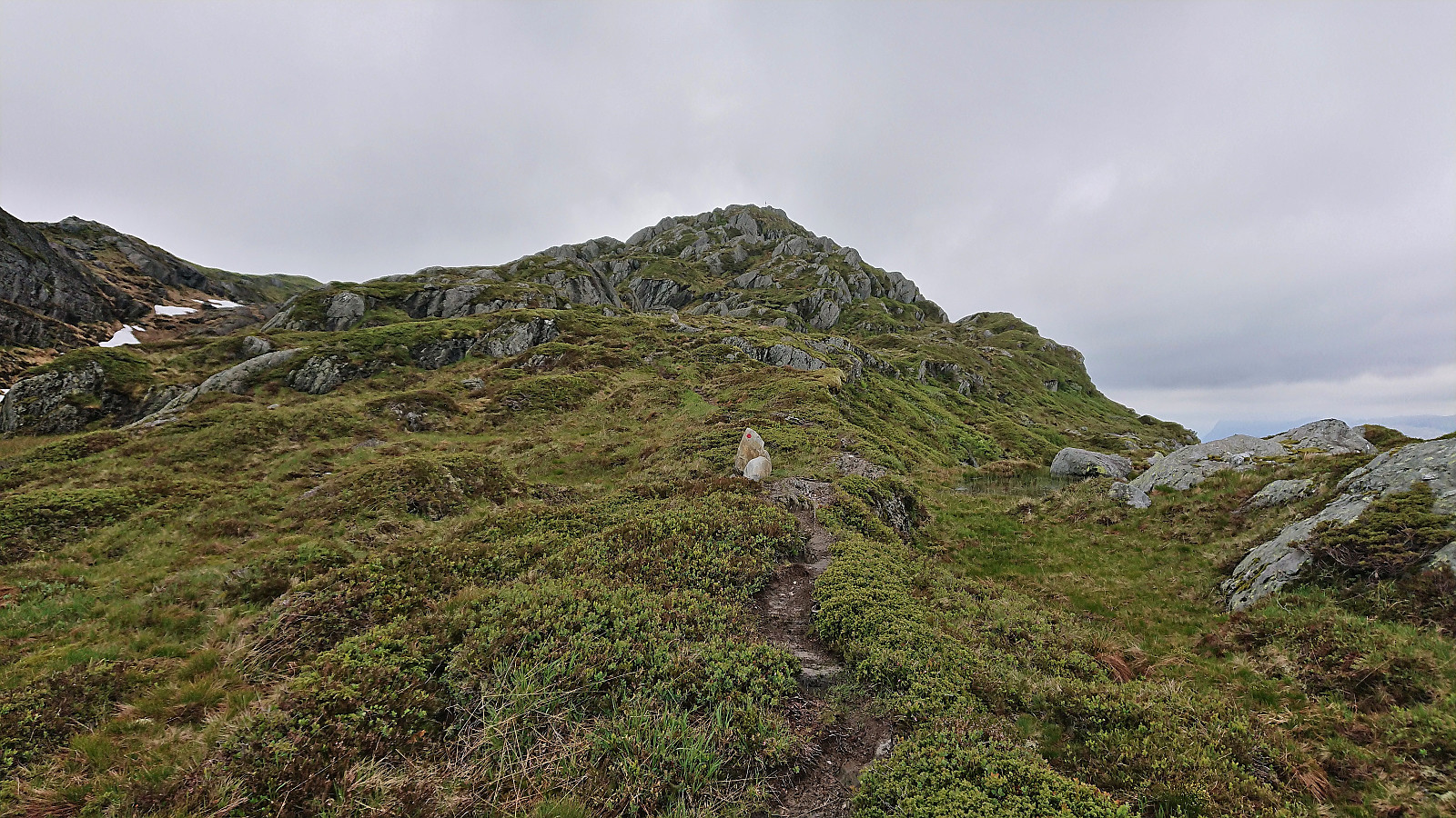
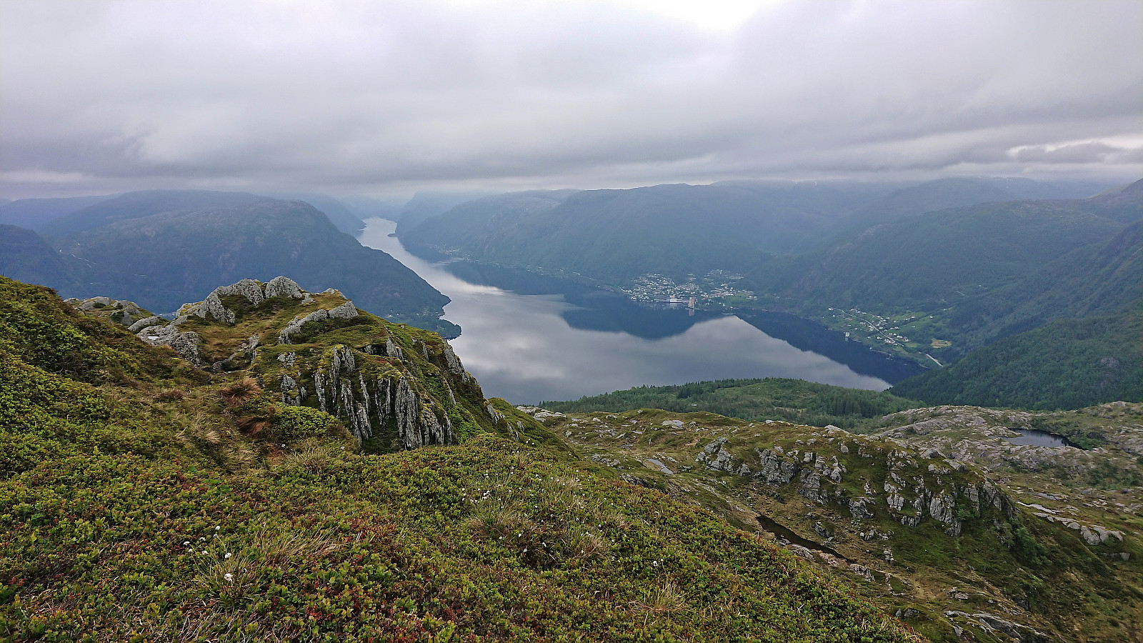
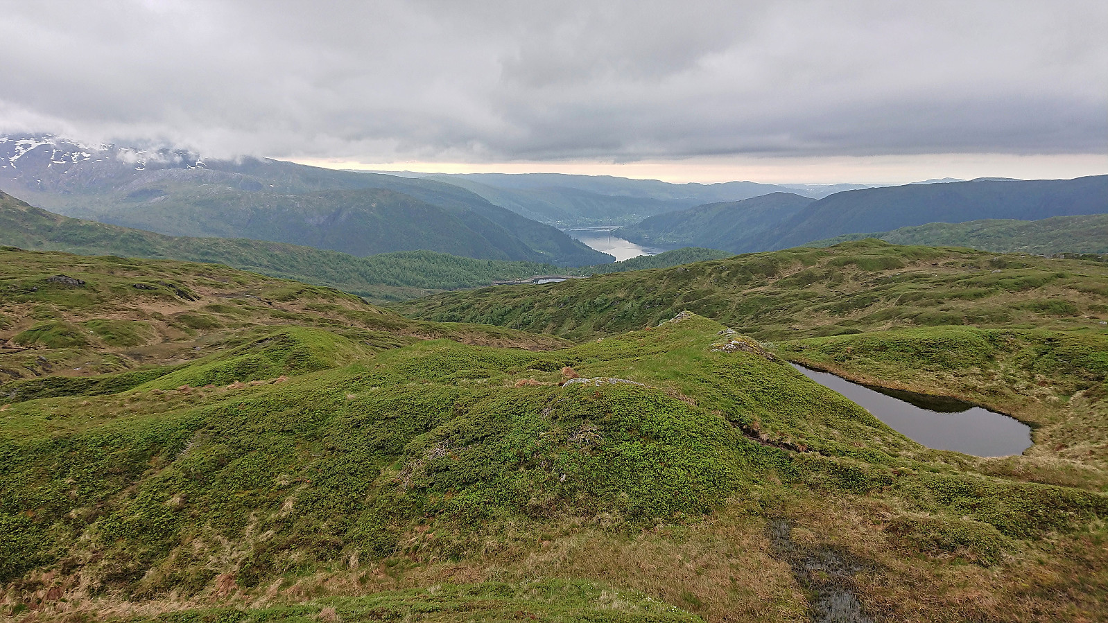
I followed the marked route to Raudvatnet - a tractor road that soon turned into a trail. The vertical meters were relatively evenly spread out, resulting in an ascent without any steep sections. At Raudvatnet, I followed the trail on the east side of the lake. This is most likely slightly longer, but I had plenty of time. When leaving the lake behind the trail got both steeper and wetter. The summit was still reached without any issues and provided excellent views, although limited by the low-hanging clouds.
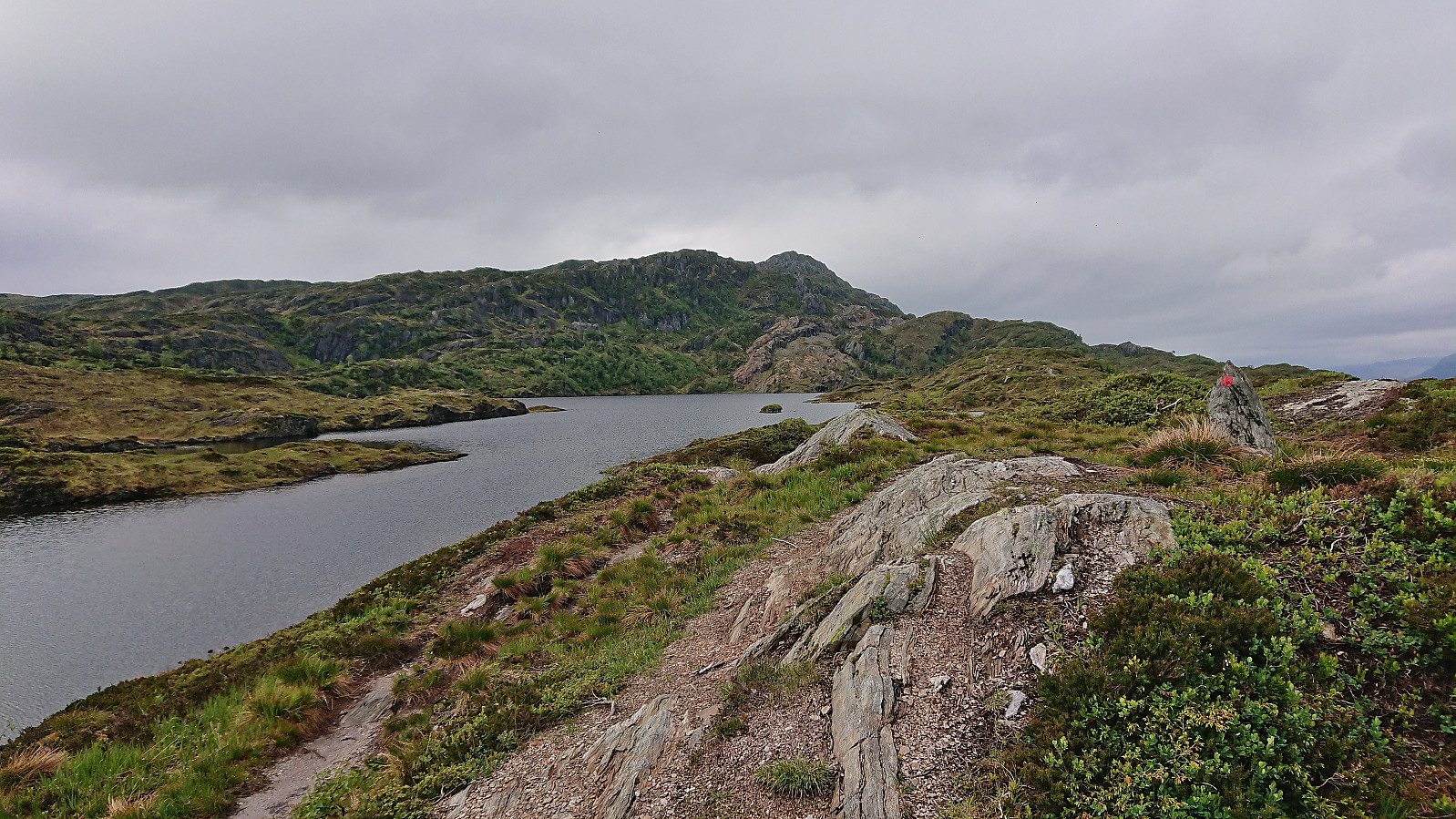
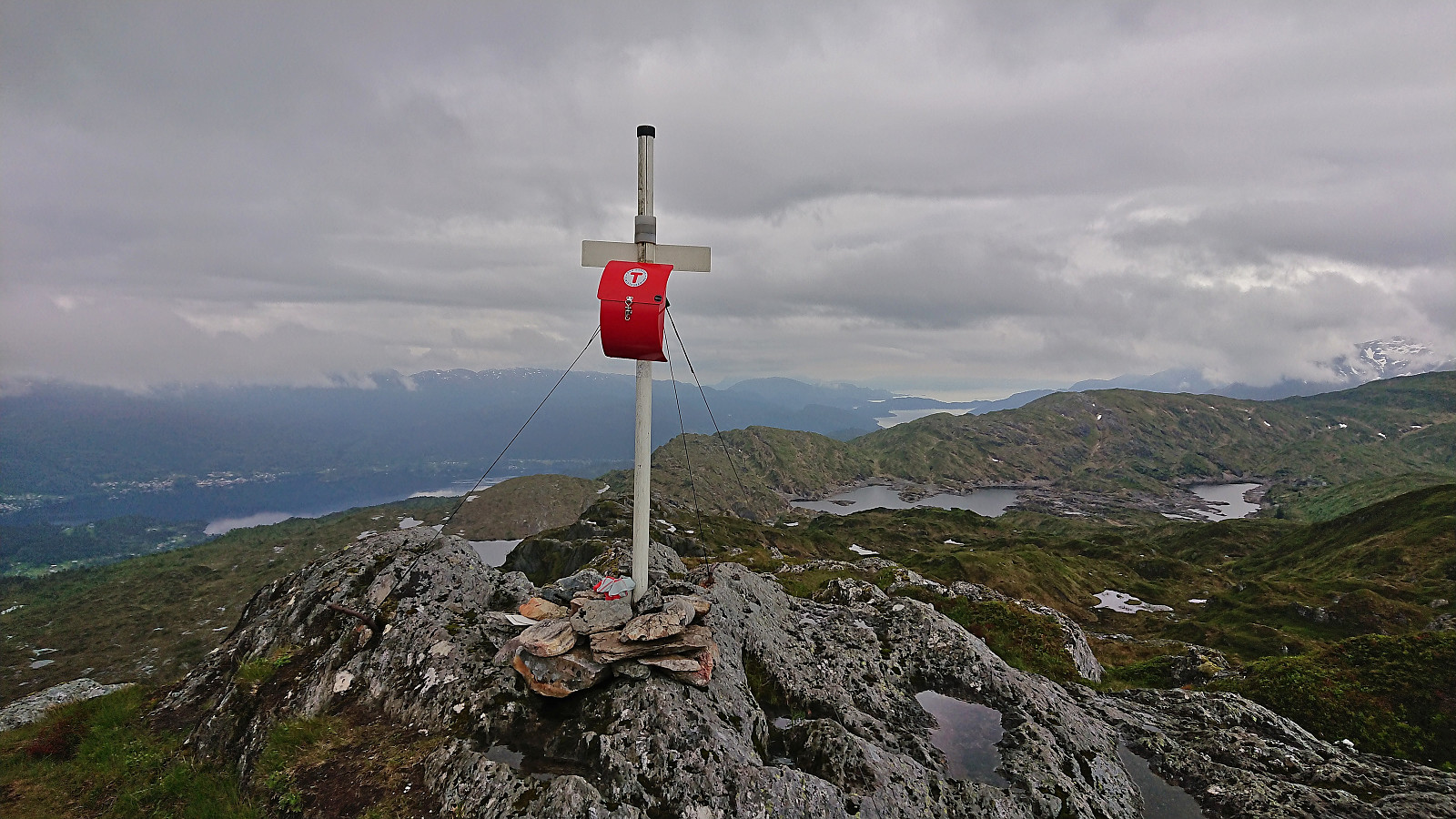
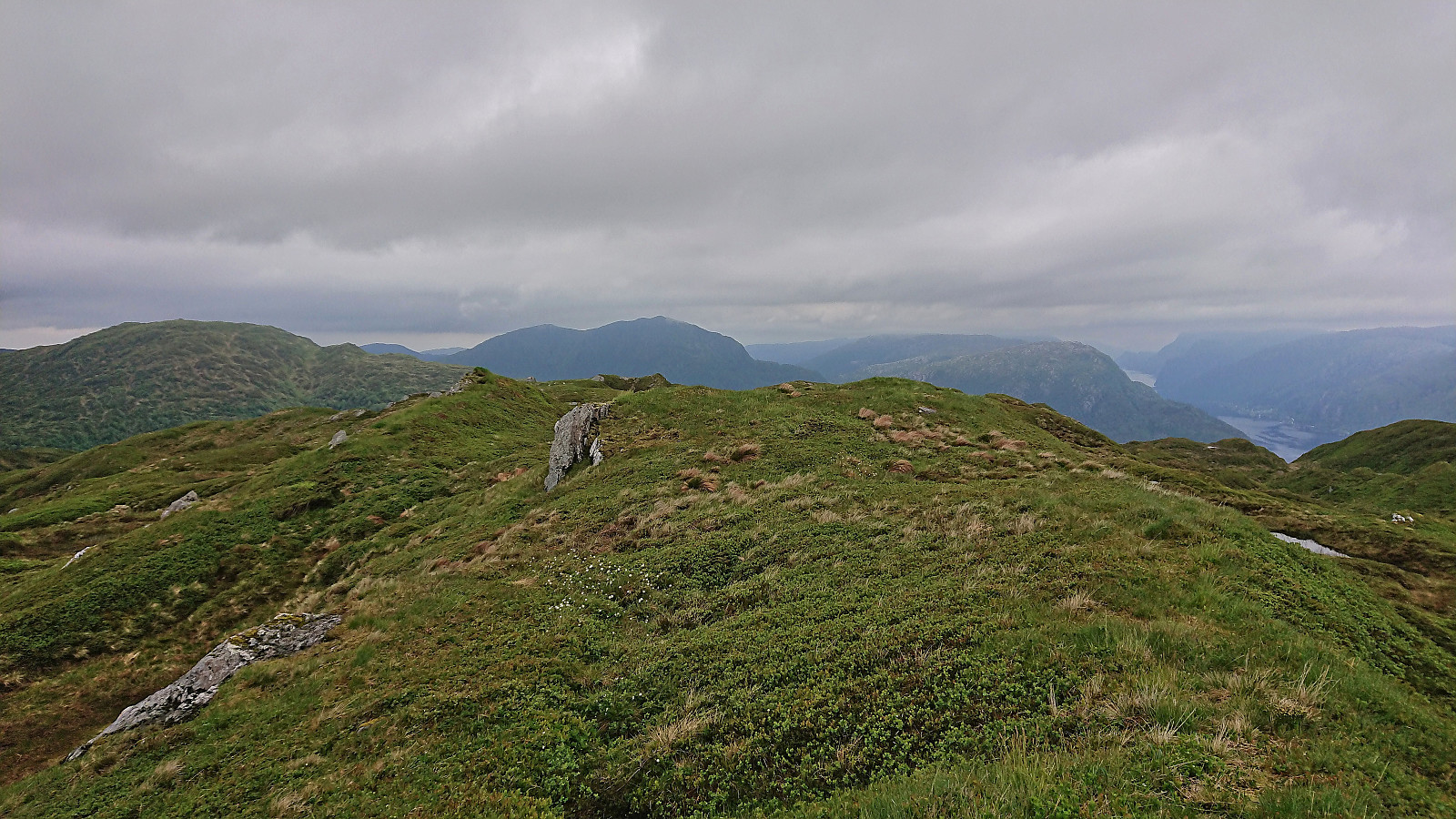
From Raudnipa I headed off-trail in the direction of Trollabotshaugen. Besides having to cross over the unnamed hill west of Raudnipa, and avoiding a couple of wet areas, the summit was easily reached. There was no clear highest point, so I of course visited all of the most likely candidates. Better views from Trollabotshaugen than expected, but similar or better views can also be obtained from other summits in the area.
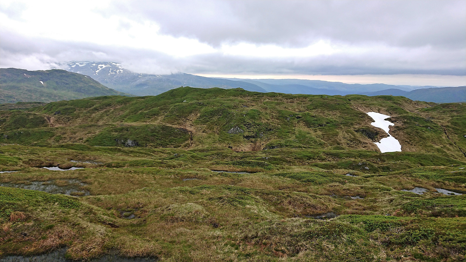
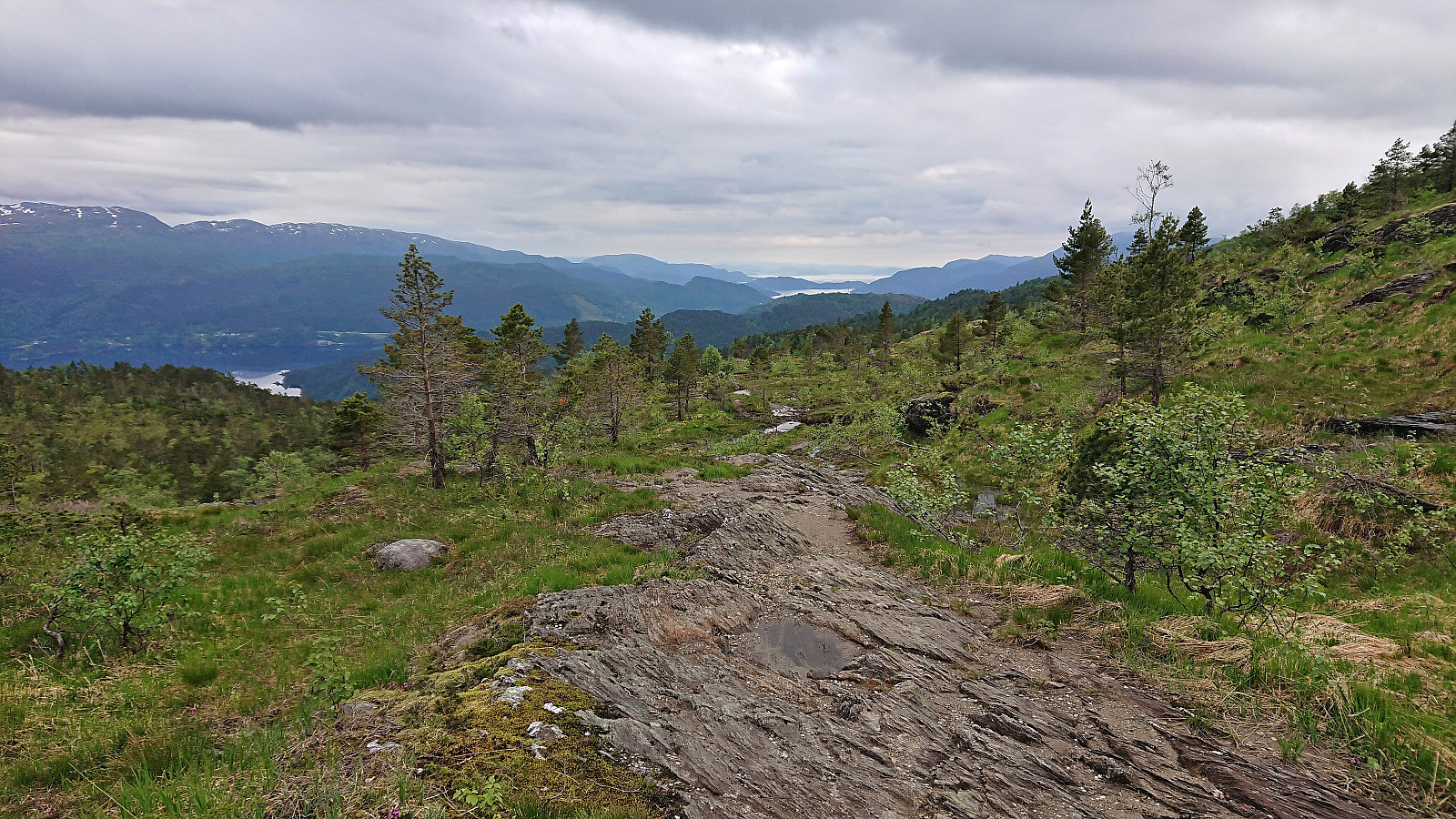
Instead of returning to Raudnipa, I continued off-trail to the southeast, aiming to reconnect with the marked trail on the west side of Raudvatnet. I soon came across a weak trail that seemed to head in the wanted direction. But after following it for a while, I concluded that it was not the right trail, and had to backtrack a bit to get to the proper trail slightly further east. Finally on the marked trail, all that was left was to return to Raunekleiv and take the bus back to Bergen. In the end I however had too much time left when getting to Raunekleiv, and ended up continuing to Hisdal before getting on the bus.
To conclude, the ascent to Raudvatnet and Raudnipa from Raunekleiv can be very highly recommended. Nice trail and excellent views, both along the way and from the summit. The detour to Trollabotshaugen is however clearly more of an acquired tasted and can simply be skipped by most hikers.

| Start date | 16.06.2022 15:14 (UTC+01:00 DST) |
| End date | 16.06.2022 19:31 (UTC+01:00 DST) |
| Total Time | 4h 17min |
| Moving Time | 4h 01min |
| Stopped Time | 0h 16min |
| Overall Average | 3.6km/h |
| Moving Average | 3.9km/h |
| Distance | 15.6km |
| Vertical meters | 786m |


User comments