
Svartetjørnfjellet from Storevatnet (11.12.2021)

Written by hbar (Harald Barsnes)

| Start point | Storevatnet E39 (340m) |
|---|---|
| Endpoint | Storevatnet E39 (340m) |
| Characteristic | Hillwalk |
| Duration | 4h 12min |
| Distance | 9.1km |
| Vertical meters | 551m |
| GPS |
|
| Ascents | Svartetjørnfjellet (746m) | 11.12.2021 |
|---|
Svartetjørnfjellet from Storevatnet
Most of the earlier trip reports for Svartetjørnfjellet also include Lauvtonipa and start from Bjørnekletten southeast of the summit. However, arntfla (Arnt Flatmo)'s external trip report presented an alternative route which instead ascended Svartetjørnfjellet via the ridge from the northeast. This would both reduce the distance I would have to walk along the road and was also more compatible with the buses I had in mind for this Saturday.
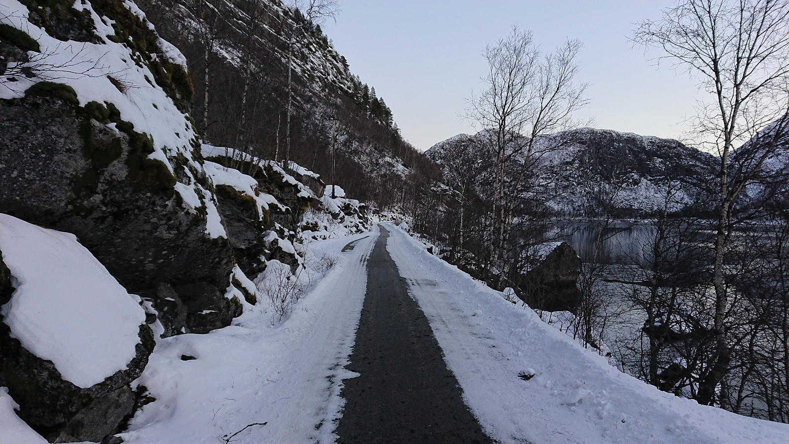
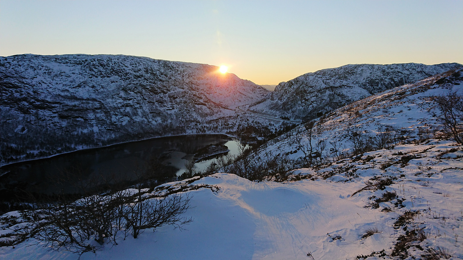
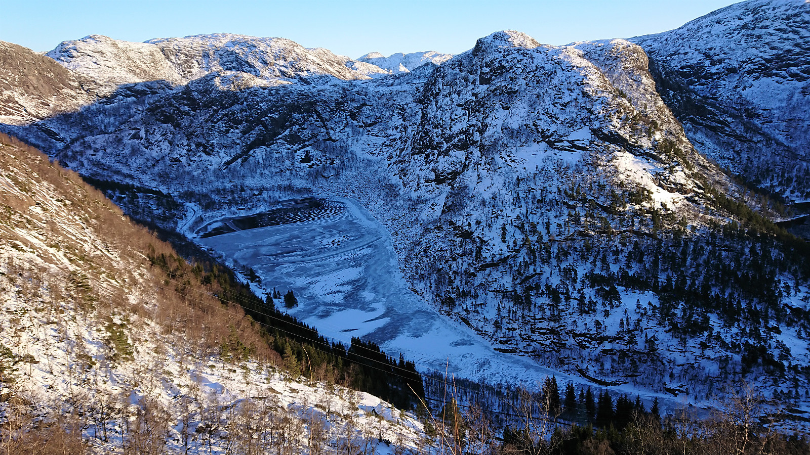
I therefore started by taking the bus to Storevatnet and got off at the bus stop called "Nedre Storavatn". After crossing under the main road, I followed the smaller road north/northeast along Storevatnet to where Arnt had indicated that the trail was starting, or at least had started almost 20 years ago. That I would be able to spot any traces of this trail was perhaps too optimistic though. I had even hoped that perhaps the snow would help me by providing footprints for me to follow, but all I could see where some old deer tracks.
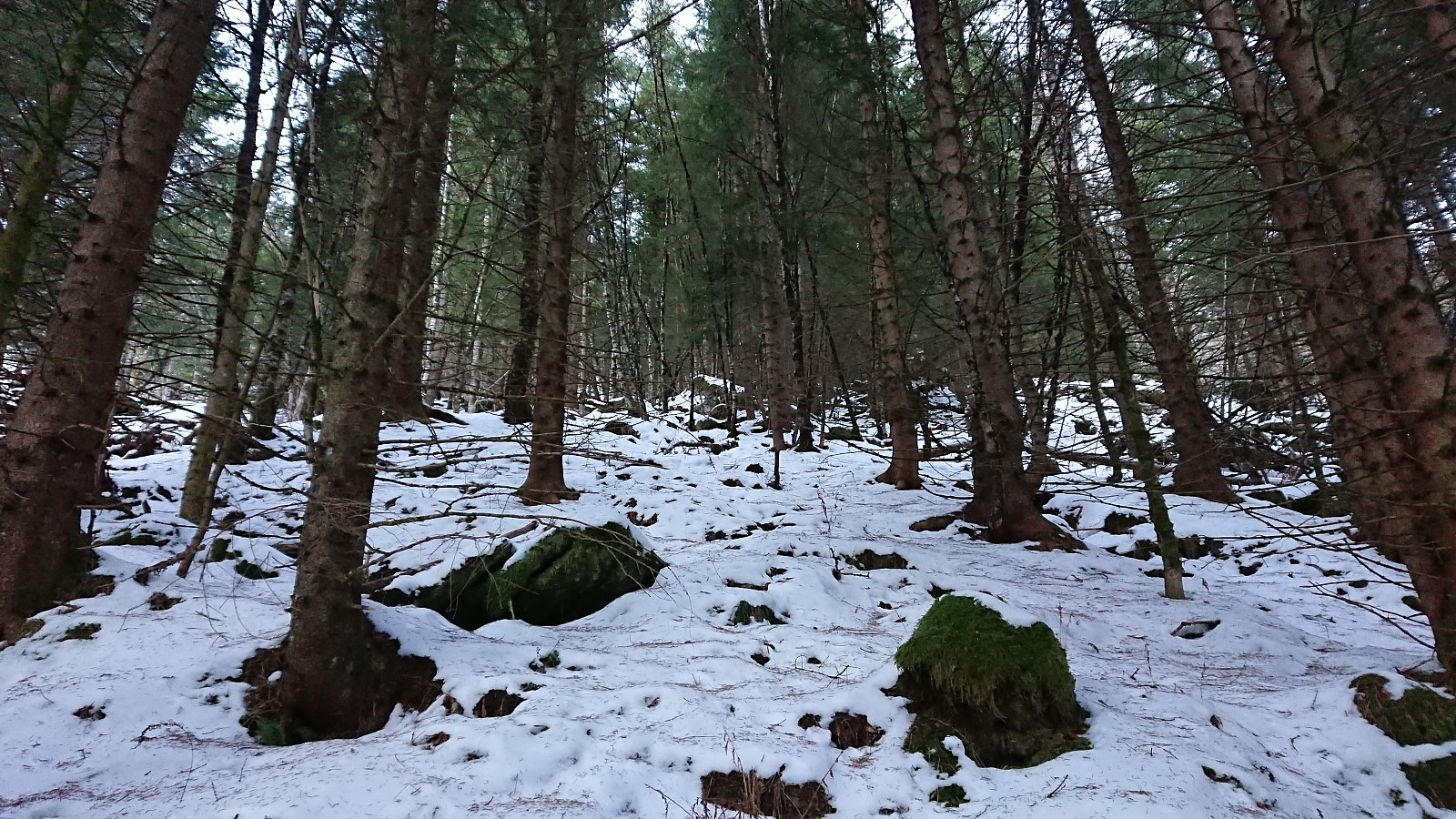
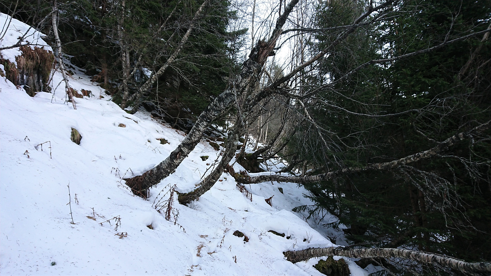
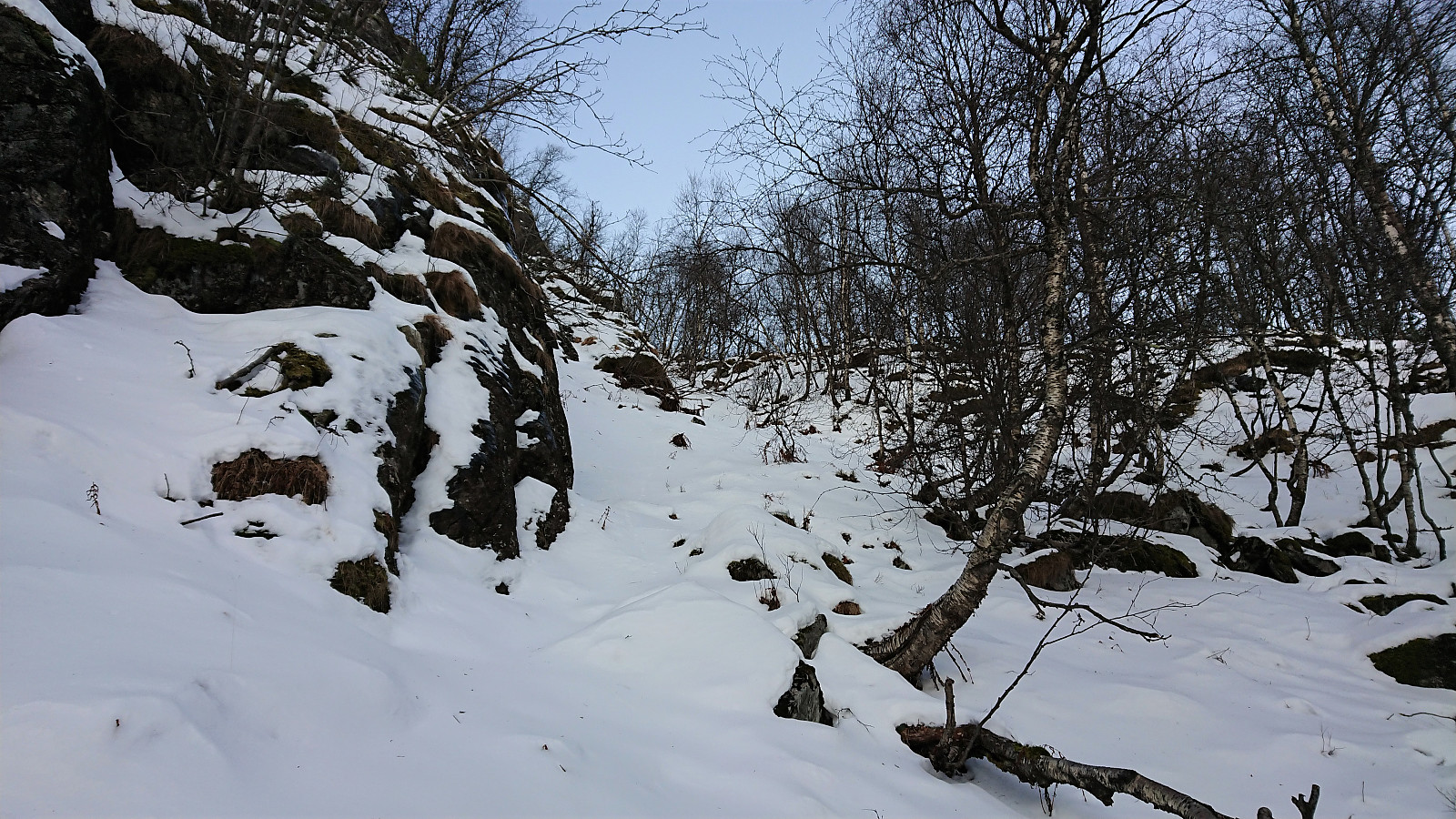
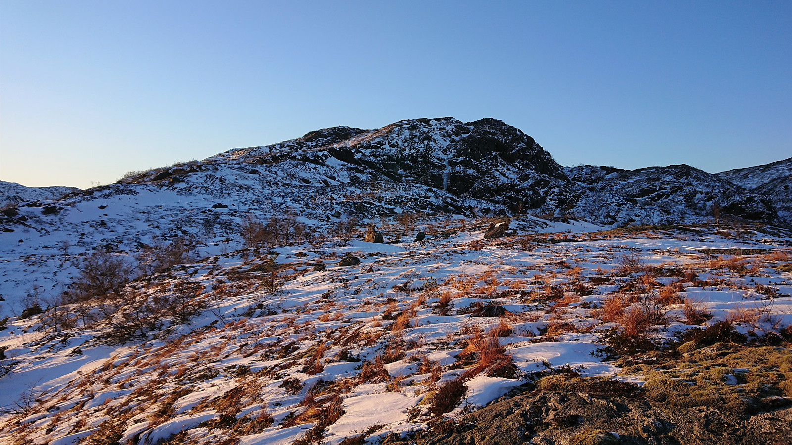
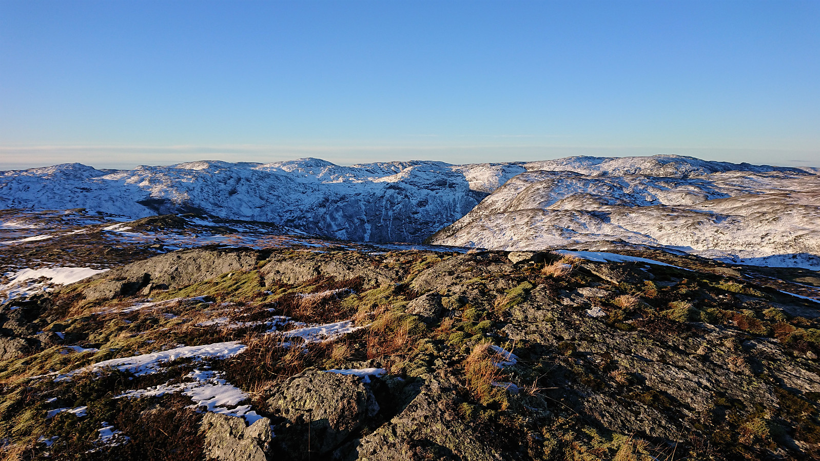
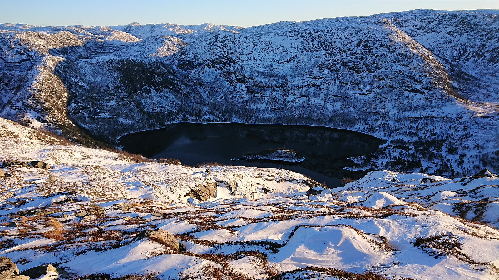
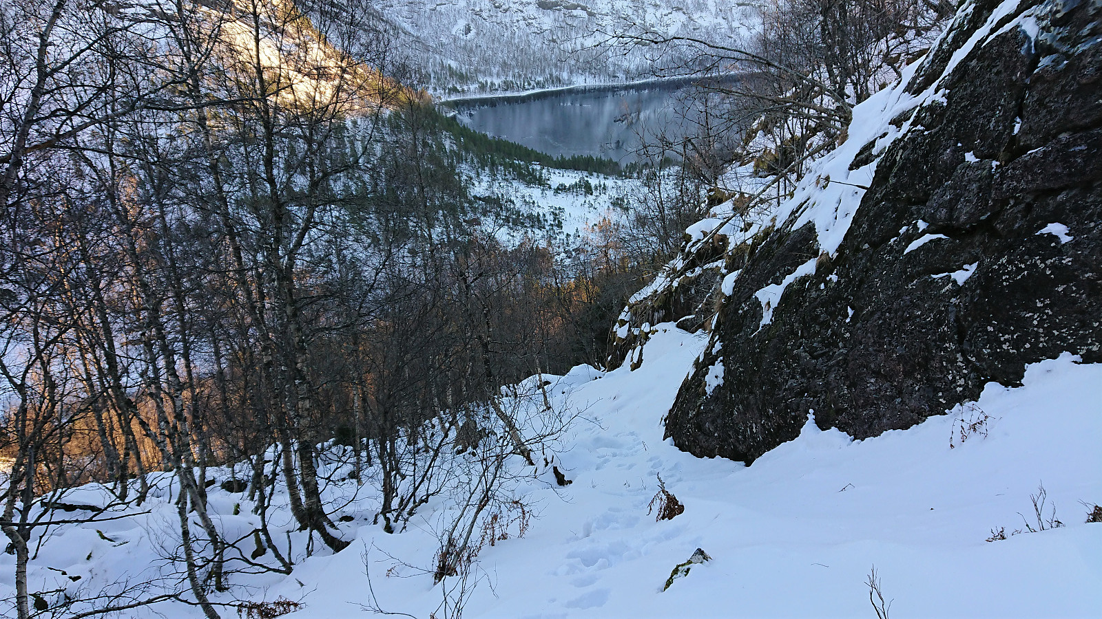
Giving up the search for the trailhead, I instead simply headed off-trail in what I thought would be a good direction. However, I quickly got sidetracked trying to avoid the densest forest and the most difficult terrain, and ended up having to go sideways for a while before finding a reasonable area to ascend further. After a bit of light scrambling, mainly due to the slippery snow, the terrain levelled off and I could turn southwest towards the summit.
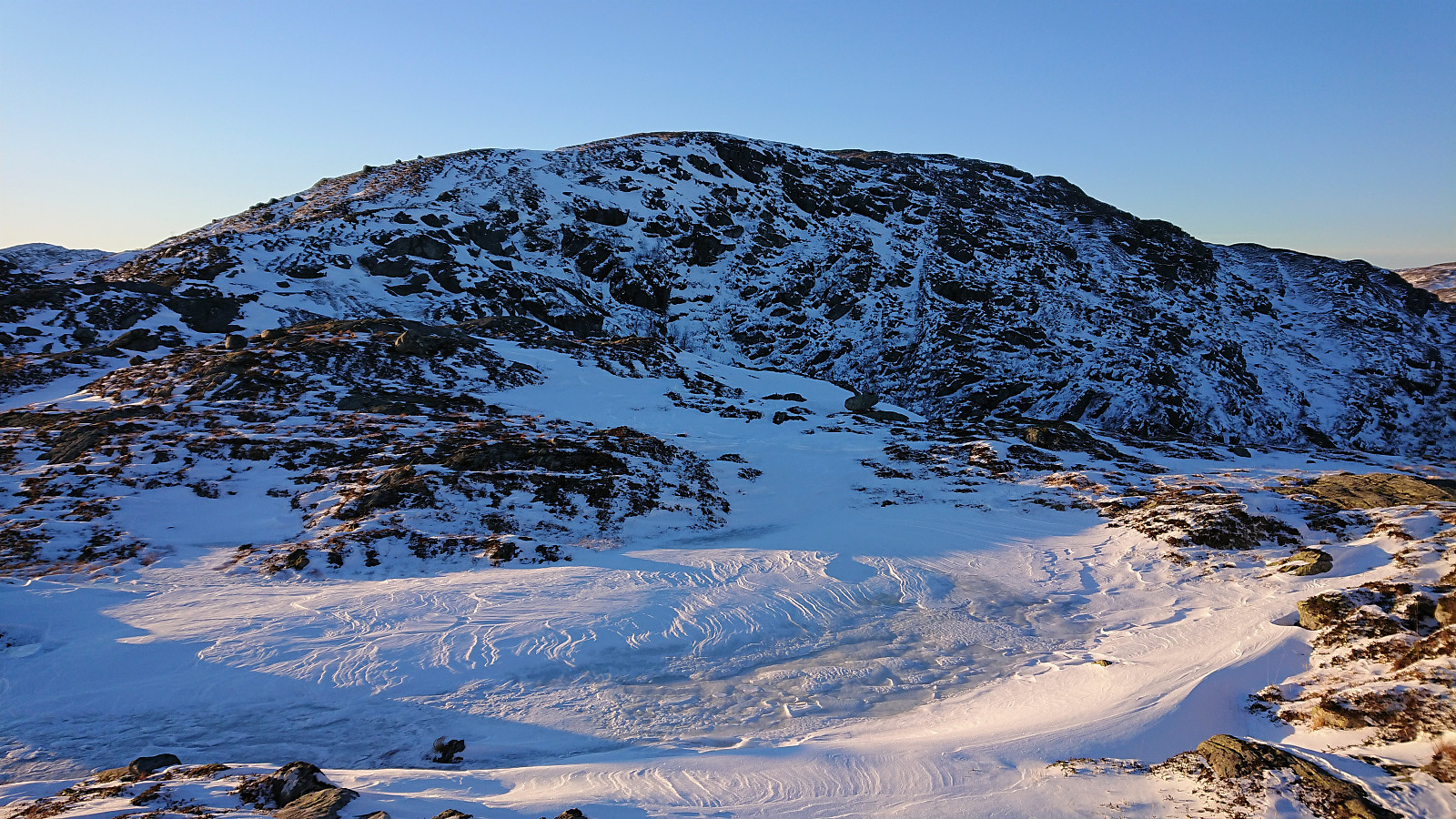
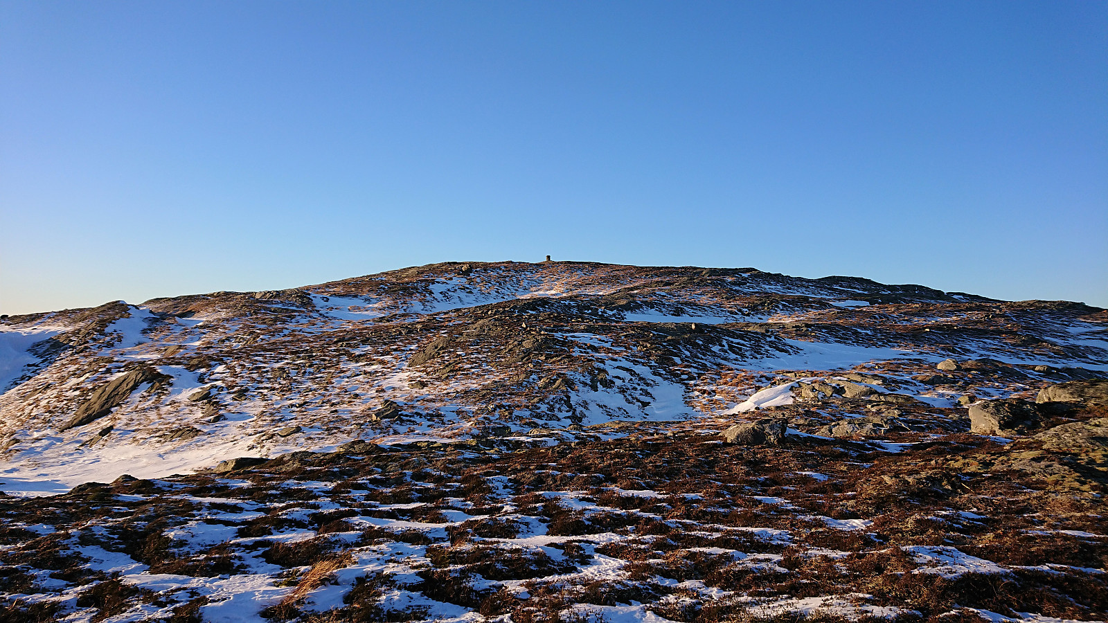
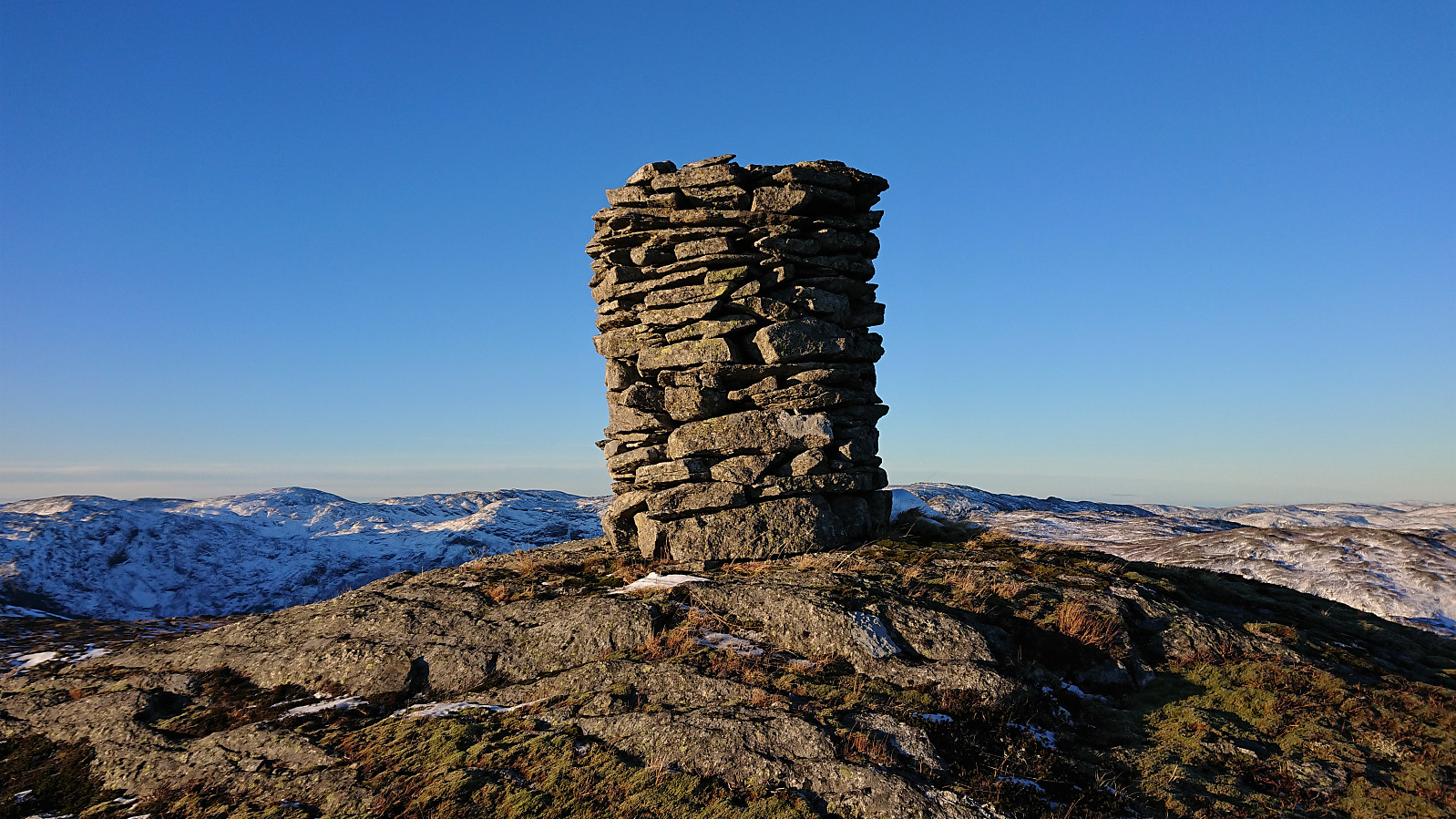
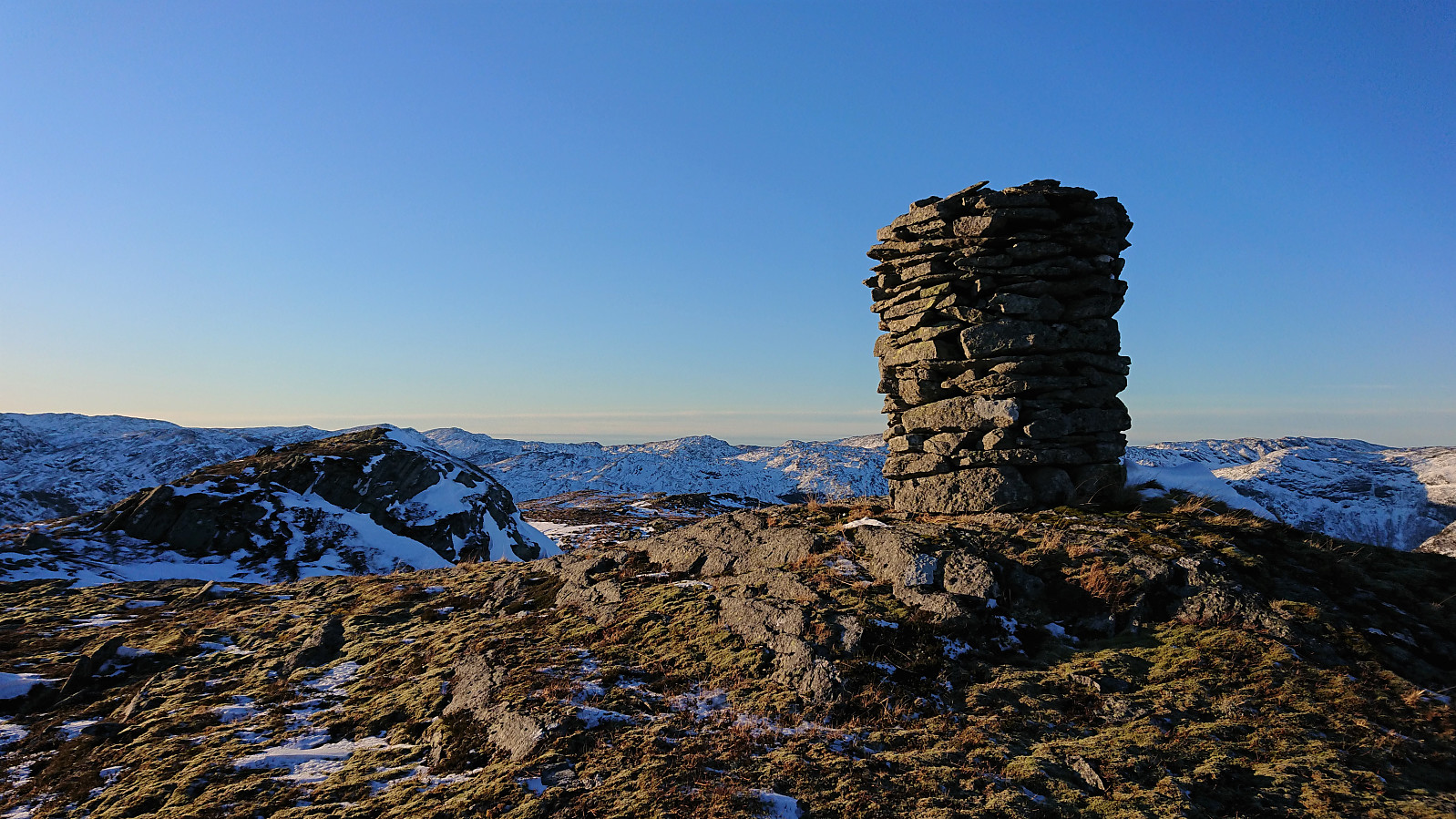
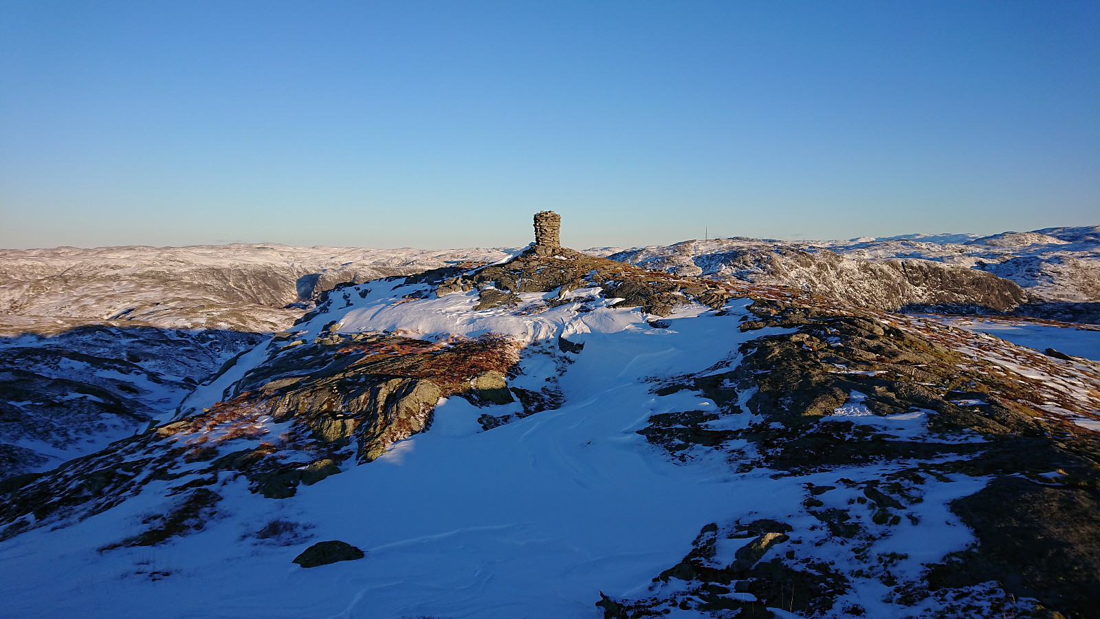
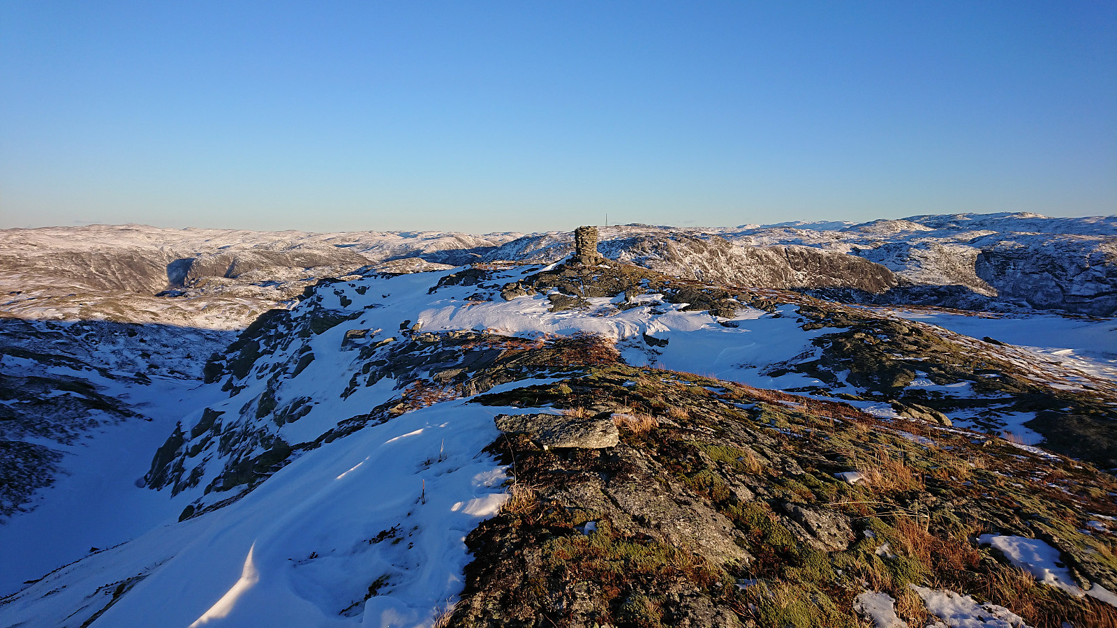
At first, I was sinking down to my knees in snow, but thankfully this did not last very long and from there on there was much less snow and it was overall straightforward to make progress towards the summit. There were a couple of steep sections that had to be avoided, but by following the most obvious route this only resulted in some very minor ups and downs before finally spotting the large summit cairn in the distance.
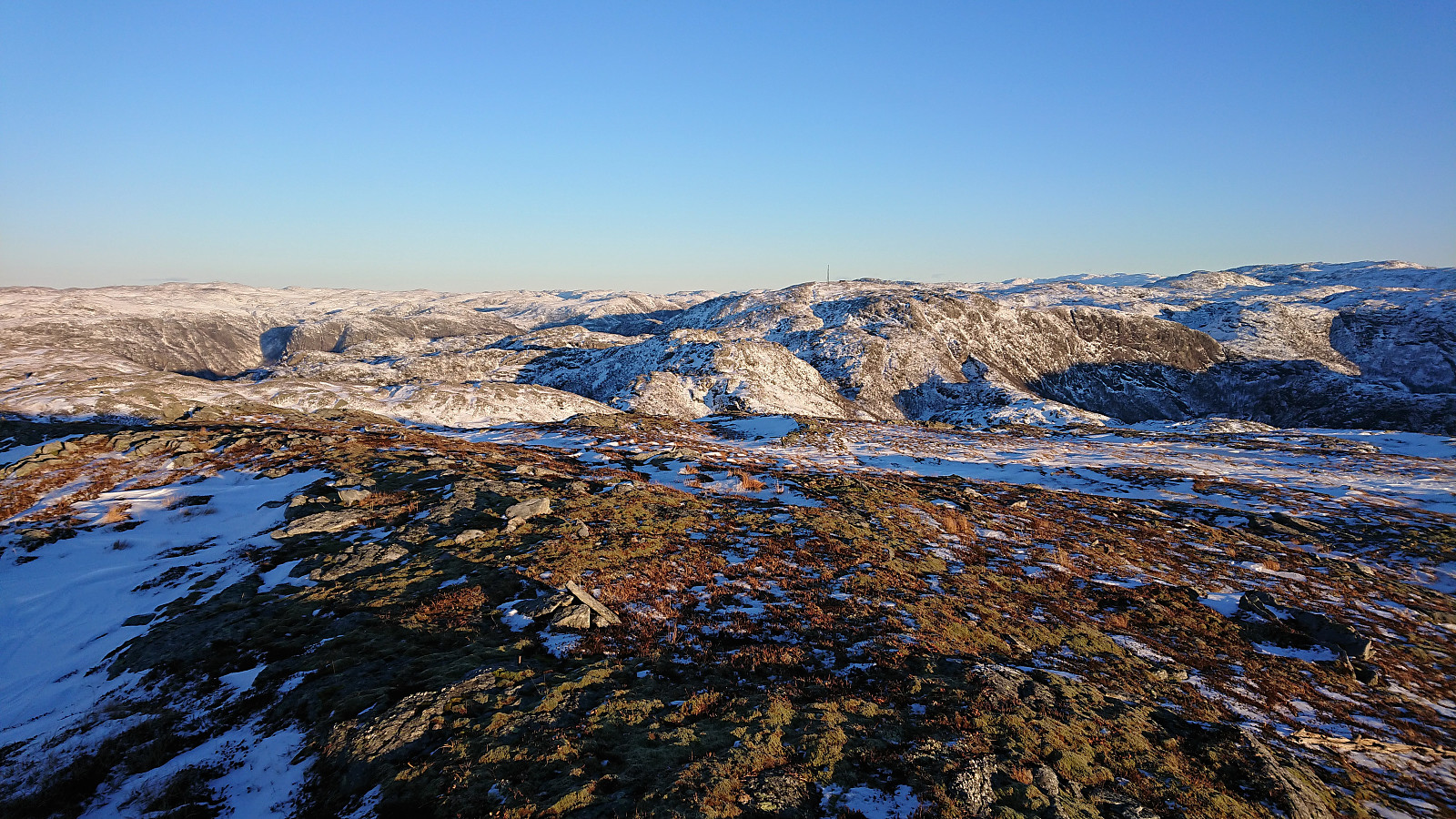
The summit consisted of two hills of pretty much the same height. While the large cairn is located on the northern of the two hills, the southern hill seems to be slightly higher. In any case, I visited both just to be sure. My plan to eat lunch at the summit was quickly abandoned due to a cold wind, and was instead slightly postponed until later getting out of the wind.
I descended along more or less the same route, trying to take it slow in order to not have to wait too long at the bus stop. I even added a short detour along the road to Haugsdal, but still had to wait almost 20 minutes before the bus arrived.
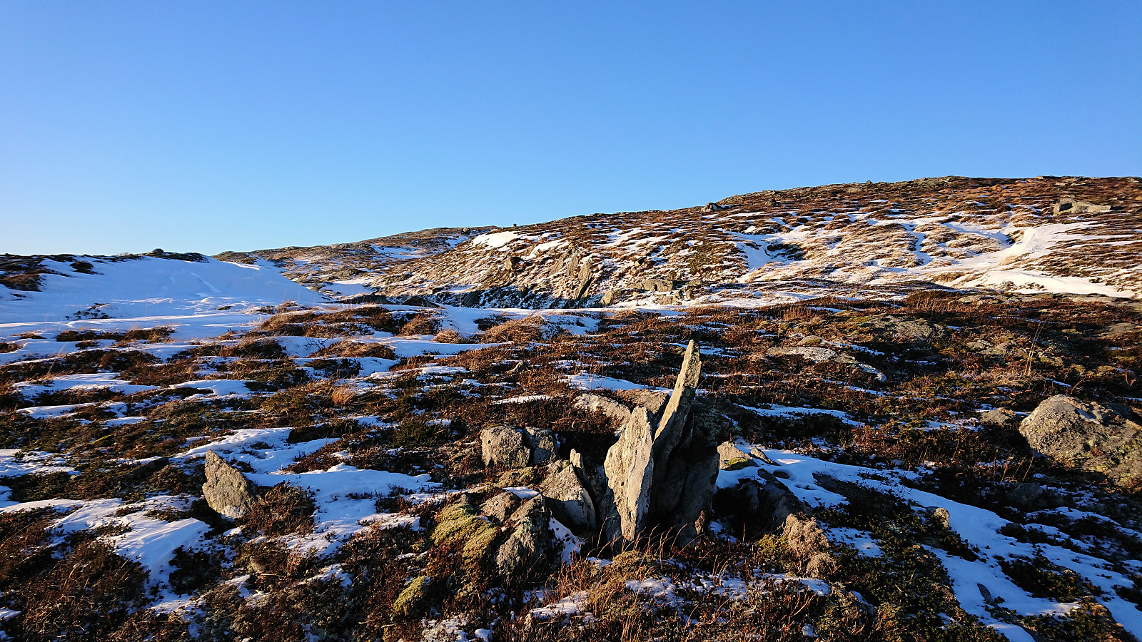
In summary, a nice hike in excellent winter weather. Clearly an alternative route worth considering if planning to visit Svartetjørnfjellet. If you go during the summer, you may even find the trail that Arnt mentions in his report. The only traces I saw of it where a couple of smaller cairns when getting close to the summit. Also note that the first part of my route up to the ridge can most likely be improved upon, and that the difficulty level might change if there is no snow.
| Start date | 11.12.2021 09:22 (UTC+01:00) |
| End date | 11.12.2021 13:35 (UTC+01:00) |
| Total Time | 4h 12min |
| Moving Time | 3h 21min |
| Stopped Time | 0h 51min |
| Overall Average | 2.2km/h |
| Moving Average | 2.7km/h |
| Distance | 9.1km |
| Vertical meters | 550m |


User comments