
Lønahorgi from Hangurstoppen (08.08.2021)

Written by hbar (Harald Barsnes)

| Start point | Hangurstoppen (815m) |
|---|---|
| Endpoint | Voss stasjon (58m) |
| Characteristic | Hillwalk |
| Duration | 6h 10min |
| Distance | 21.9km |
| Vertical meters | 947m |
| GPS |
|
| Ascents | Hangur (818m) | 08.08.2021 |
|---|---|---|
| Lønahorgi (1,412m) | 08.08.2021 | |
| Visits of other PBEs | Gamle Hangur (658m) | 08.08.2021 |
| Kvilehytta (1,098m) | 08.08.2021 | |
| Voss Gondol (57m) | 08.08.2021 | |
| Voss stasjon (58m) | 08.08.2021 |
Lønahorgi from Hangurstoppen
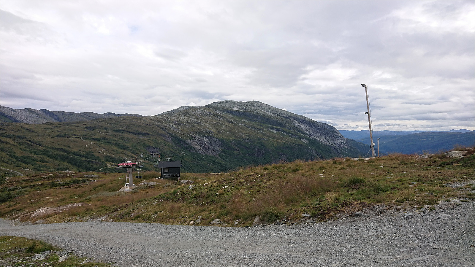
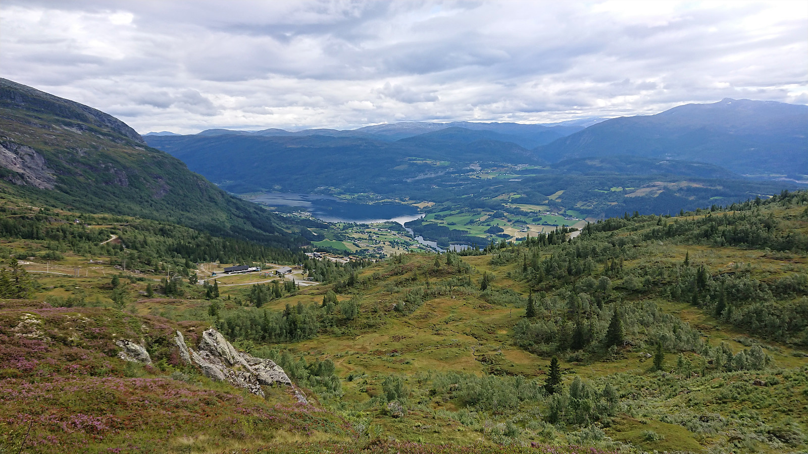
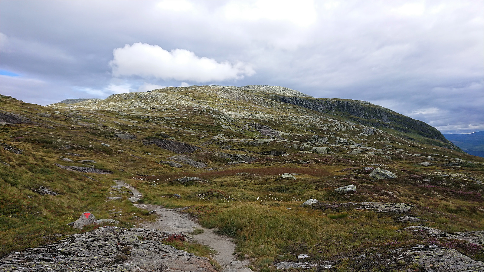
A visit of Lønahorgi had been on my agenda for a while. So I decided to make the most out of my last day of summer vacation and hopped on an early morning train to Voss. Here I decided on "cheating" by taking the cable car (see Voss Gondol) to the top of Hangur, and thus for once started a hike with descending from the first minor peak of the hike. In fact, this was so unusual that I almost missed the sign for the trail to Lønahorgi, as it does a minor detour via Valbergstjørni and eastern side of Slettafjellet. The advantage compared to the more direct route via Trodalstølen is that one pretty much stays at the same altitude.
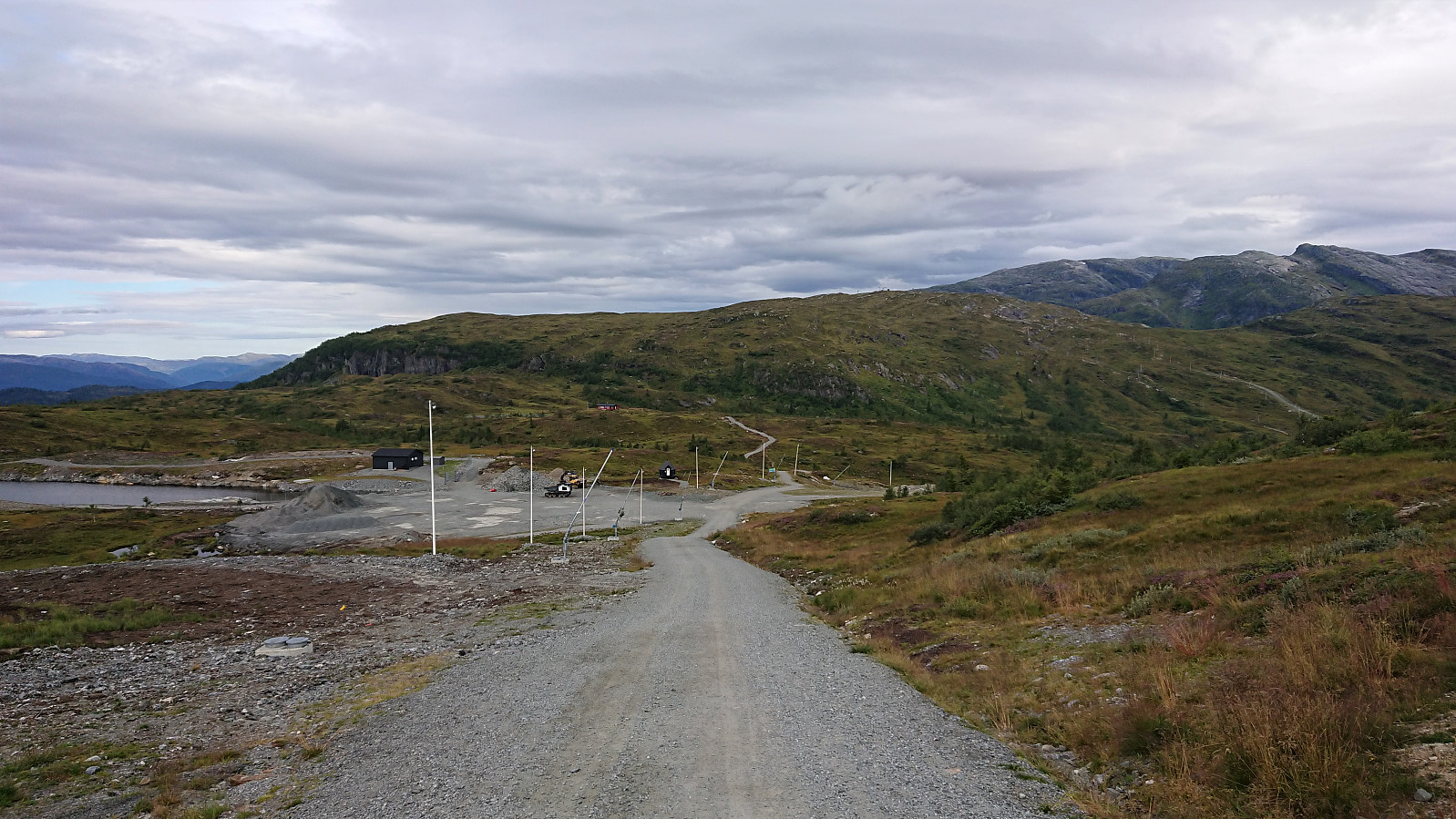
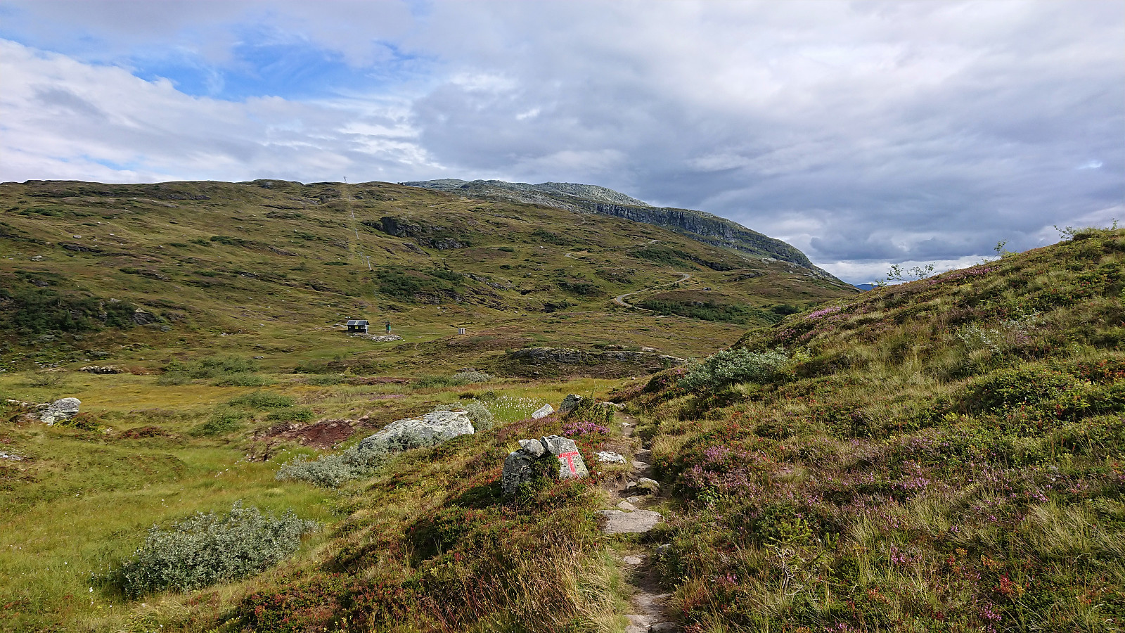
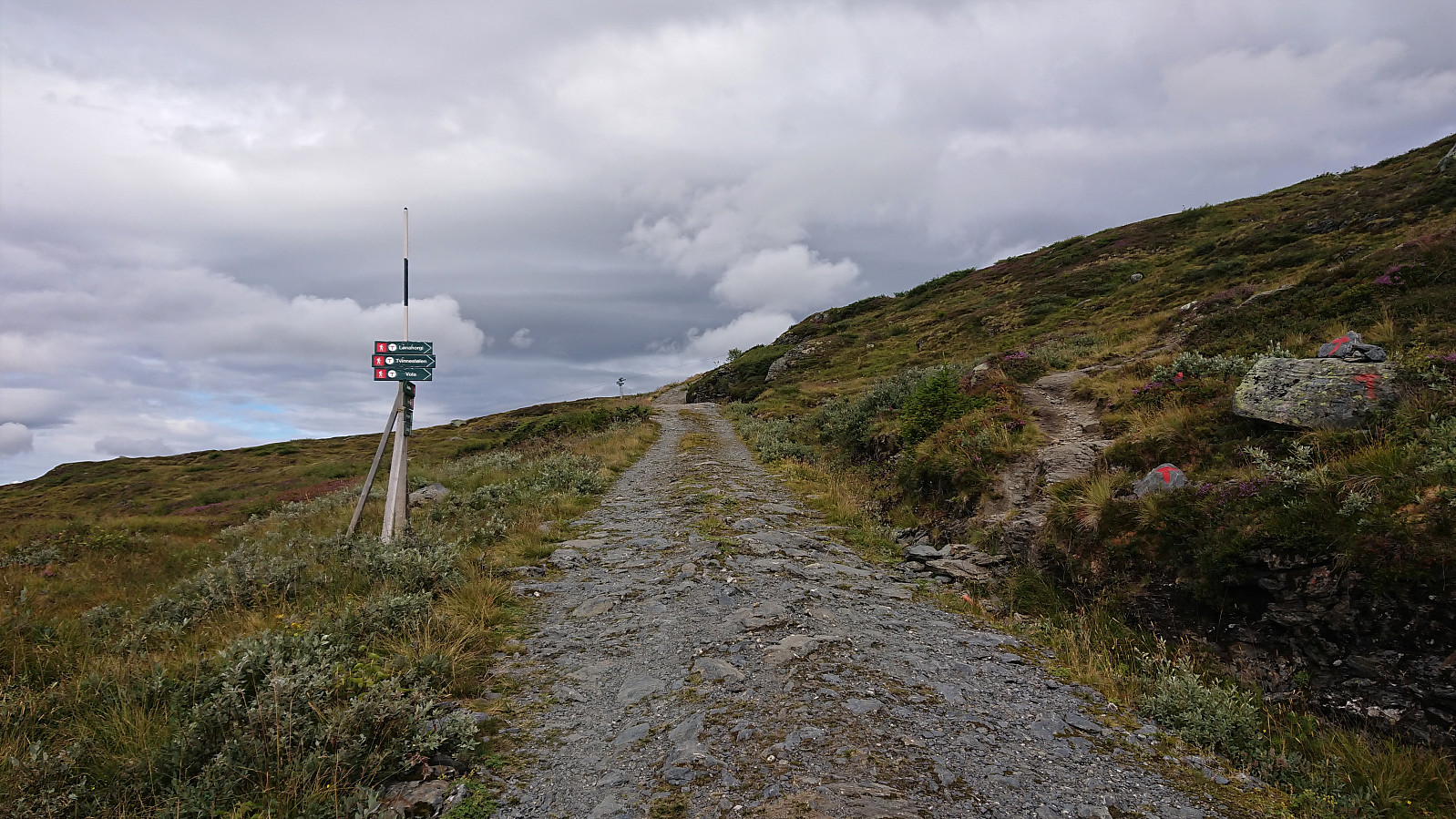
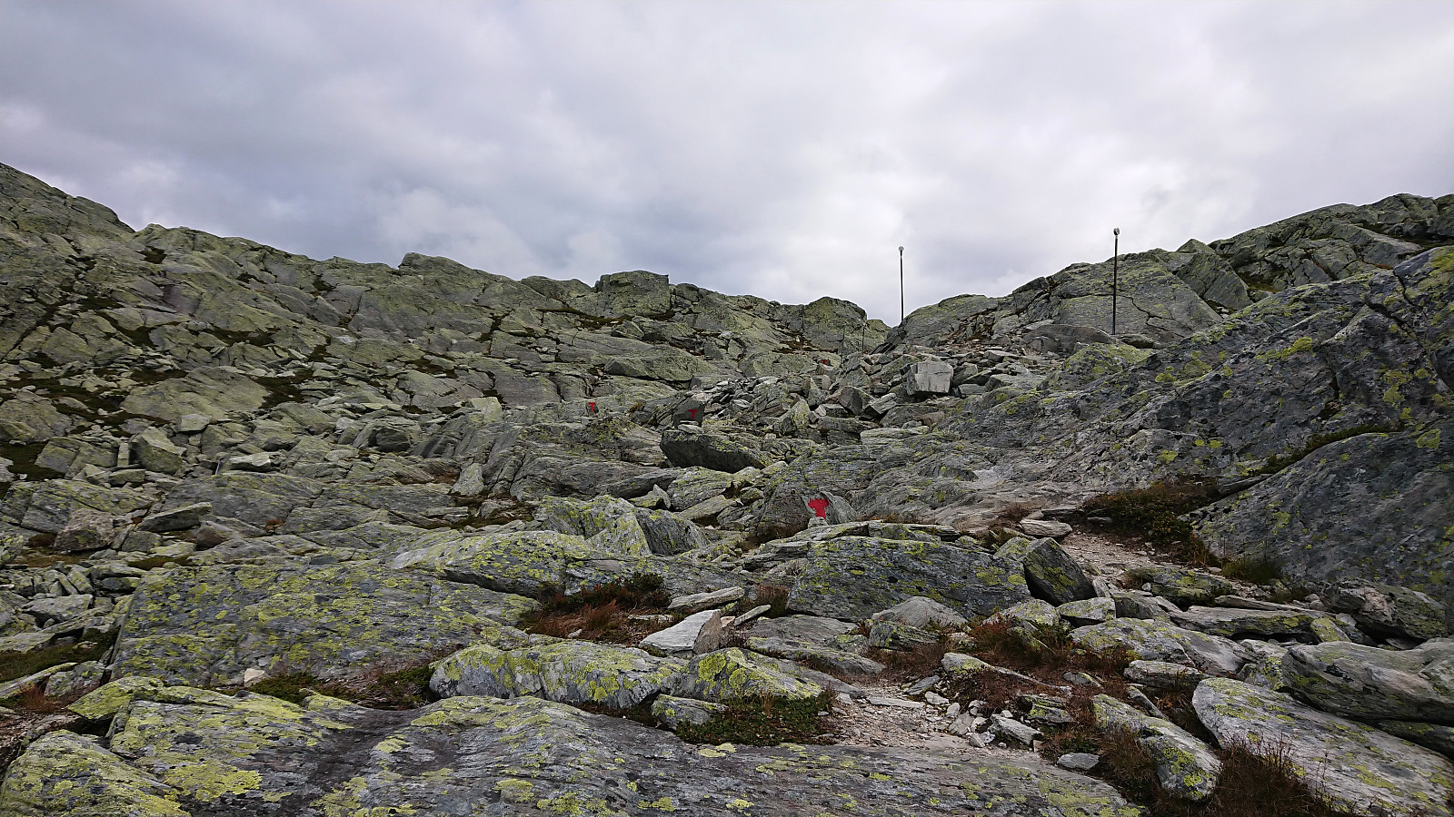
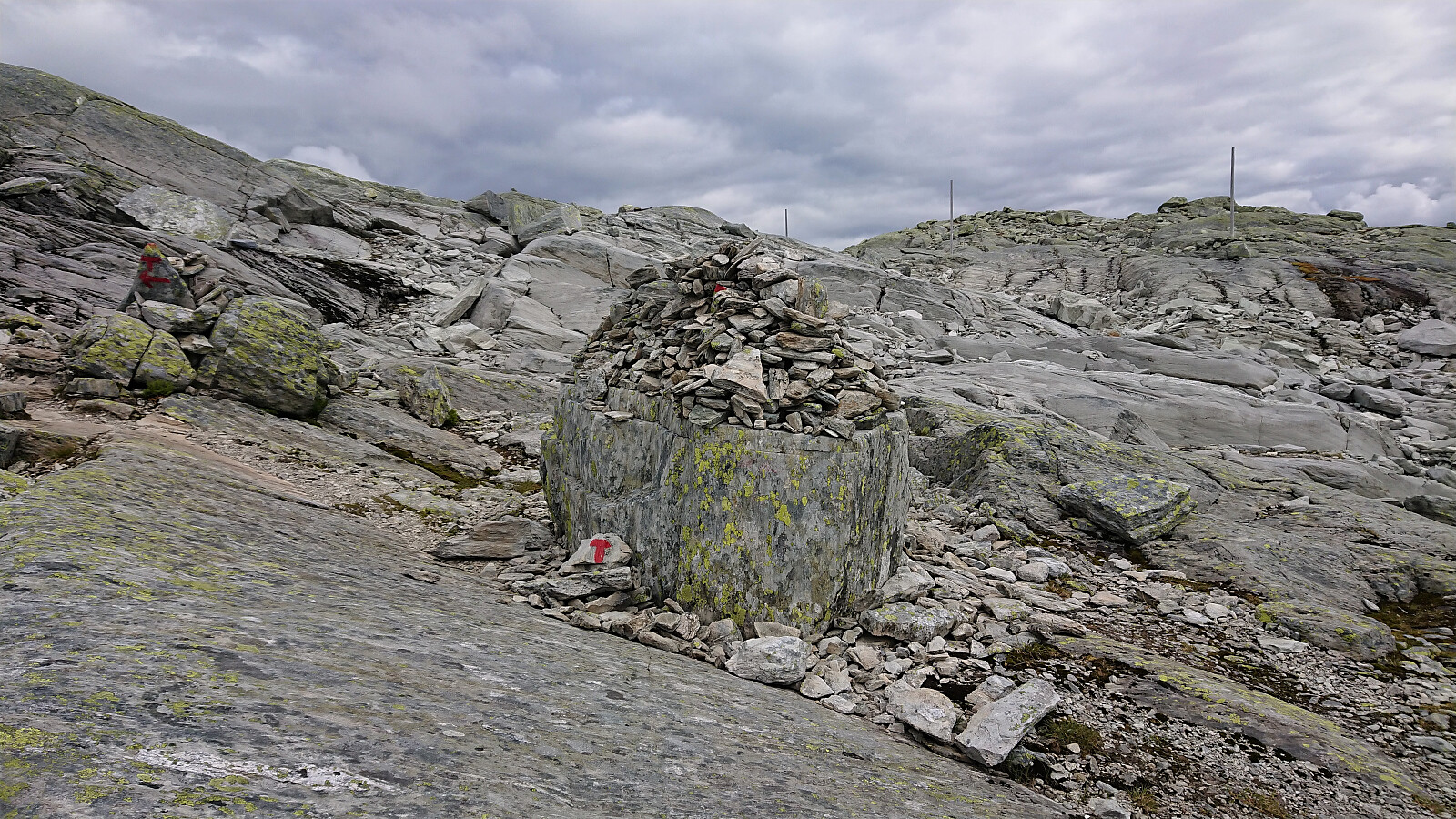
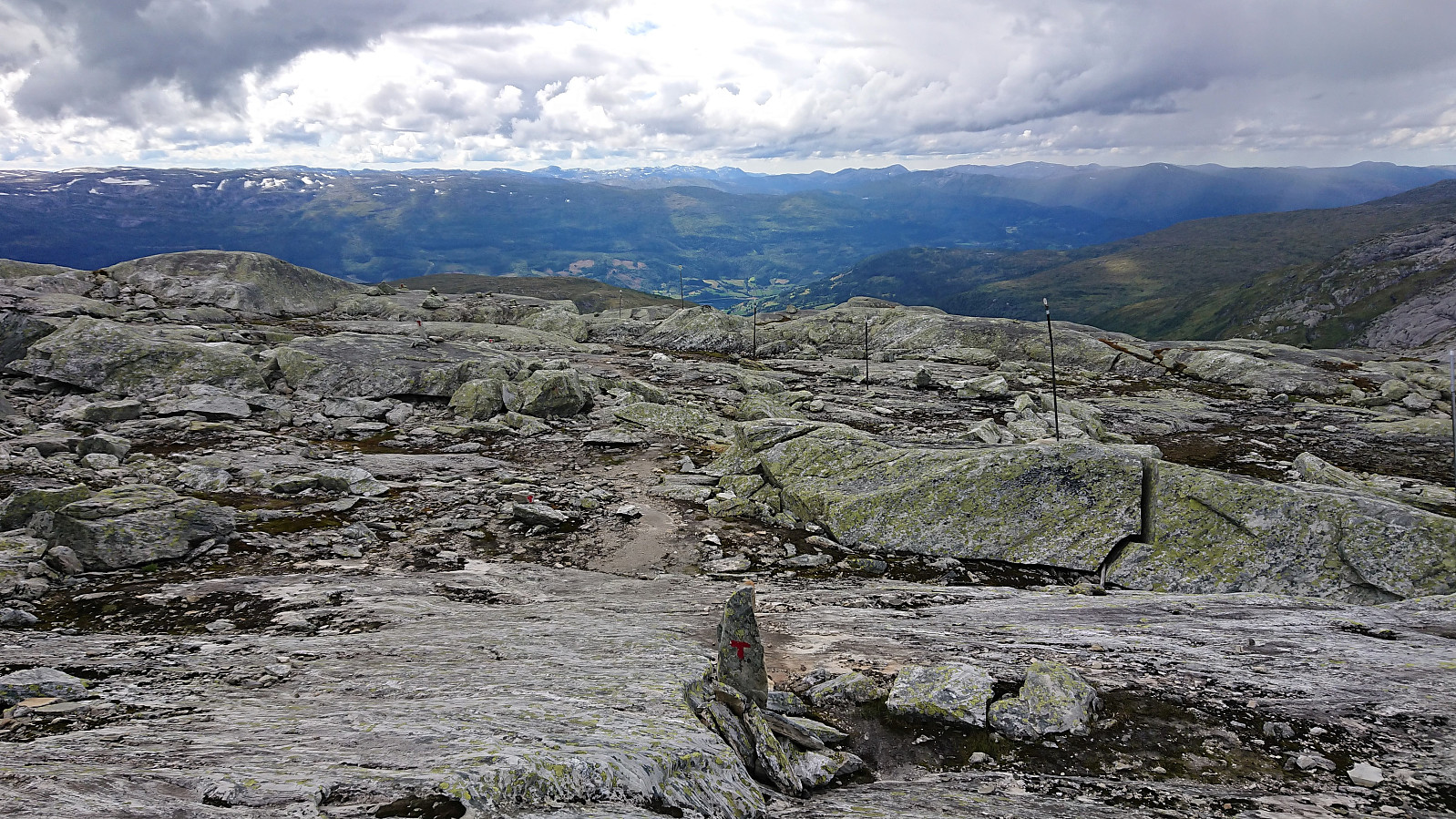
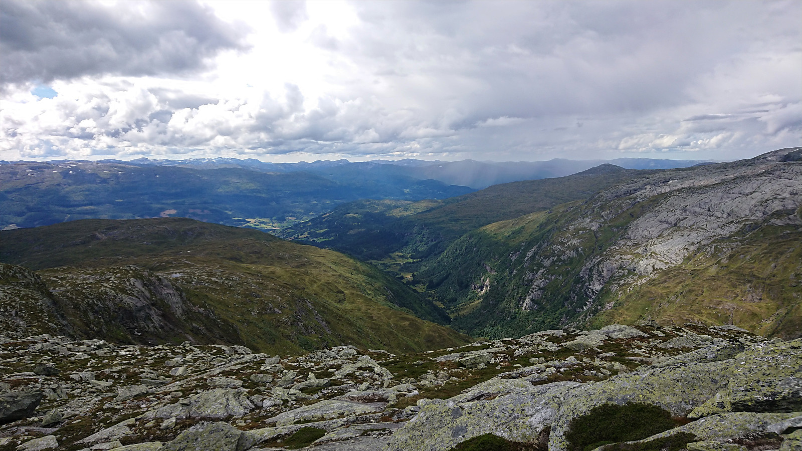
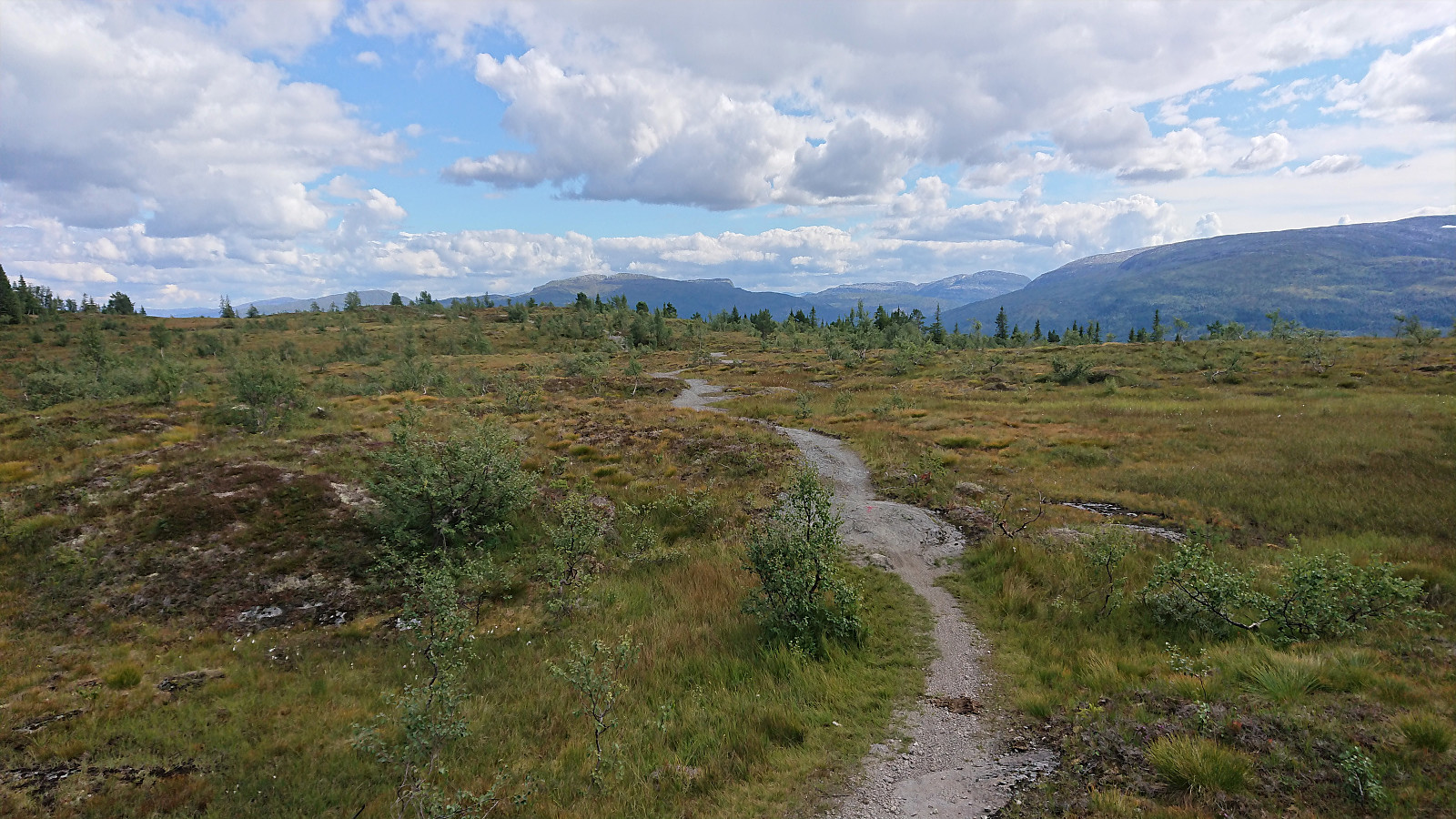
The trail was marked with red T's and easy to follow, and I quickly connected with the tractor road coming up from Trodalstølen. From here on the trail partly followed the road and partly made shortcuts, before the road finally ended at just below 1100 meters and the trail continued on its own. Soon the terrain turned into the usual rock-covered landscape that one gets at these altitudes. But the trail was still clearly marked, resulting in easy progress towards the summit.
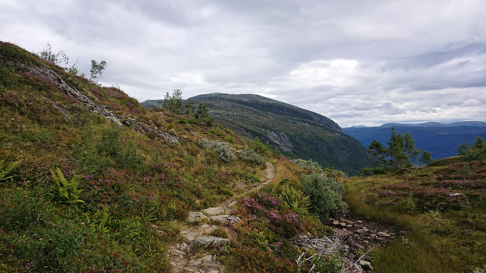
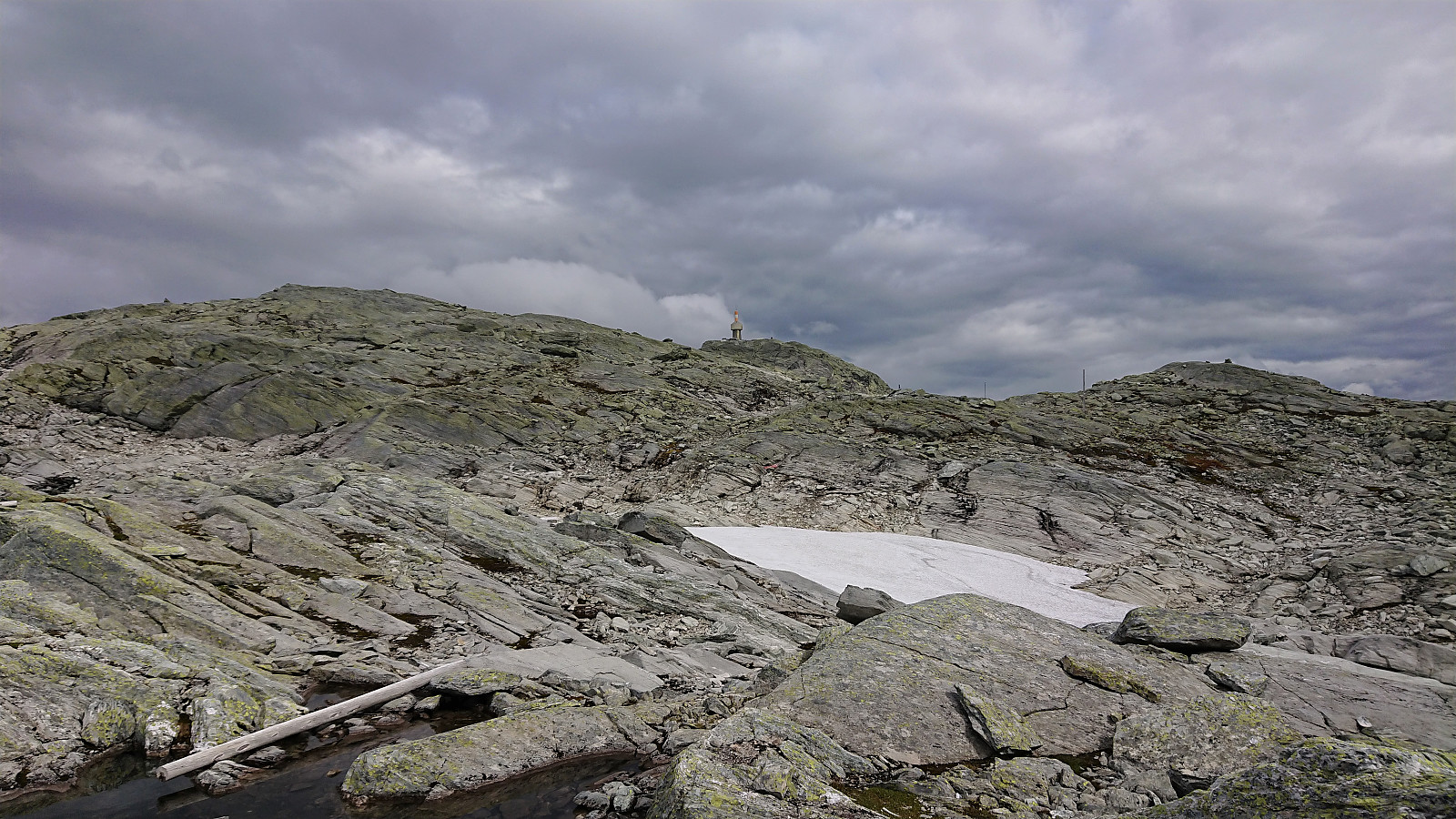
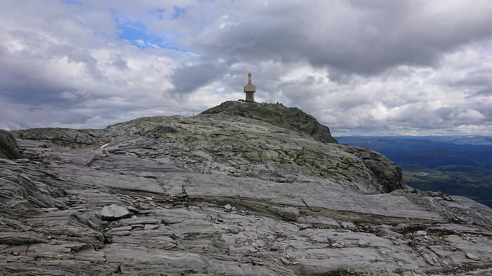
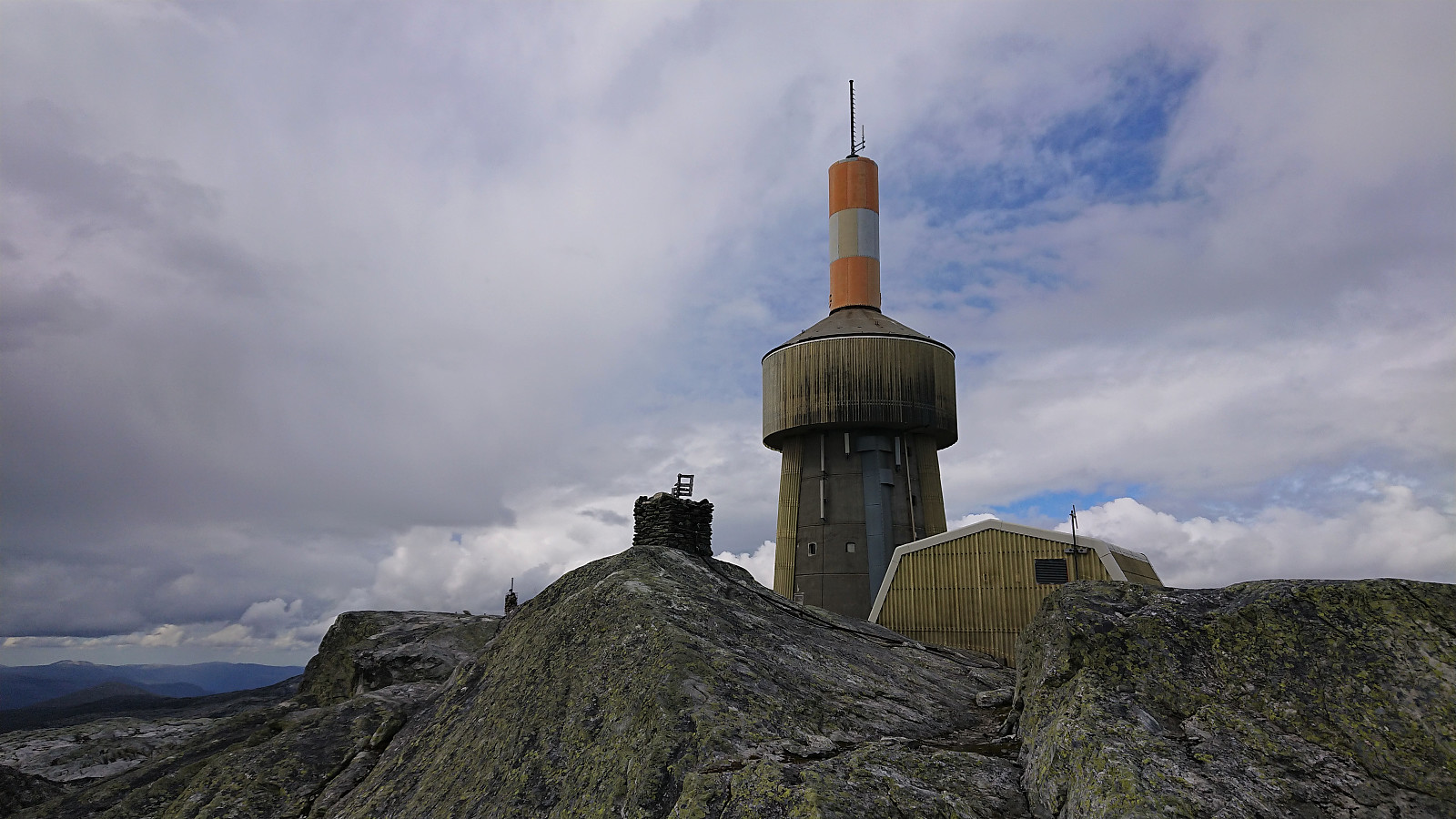
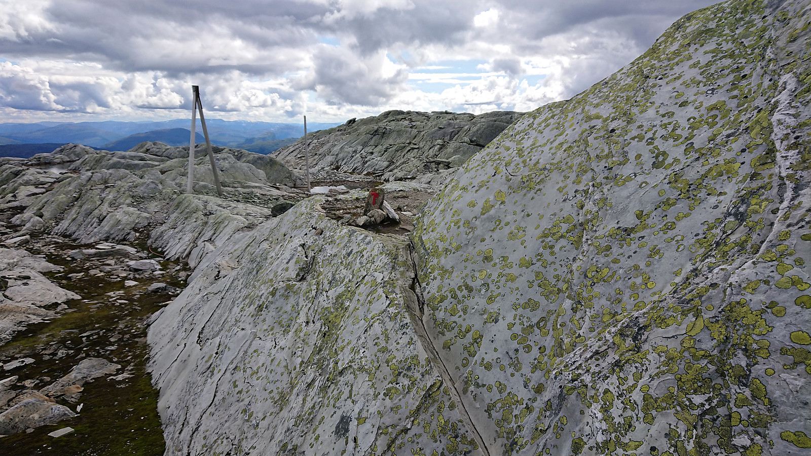
Within not too long, the familiar antenna at the summit of Lønahorgi reappeared. The trail however did not head straight for the summit, but rather did a westerly detour in order to avoid the steep Horgadalen, and the summit was therefore finally approached from the west. Unusual terrain up here, with loads of green lichen covering most of the rock surfaces. Made for a more interesting hike in a rocky terrain that can often be quite boring.
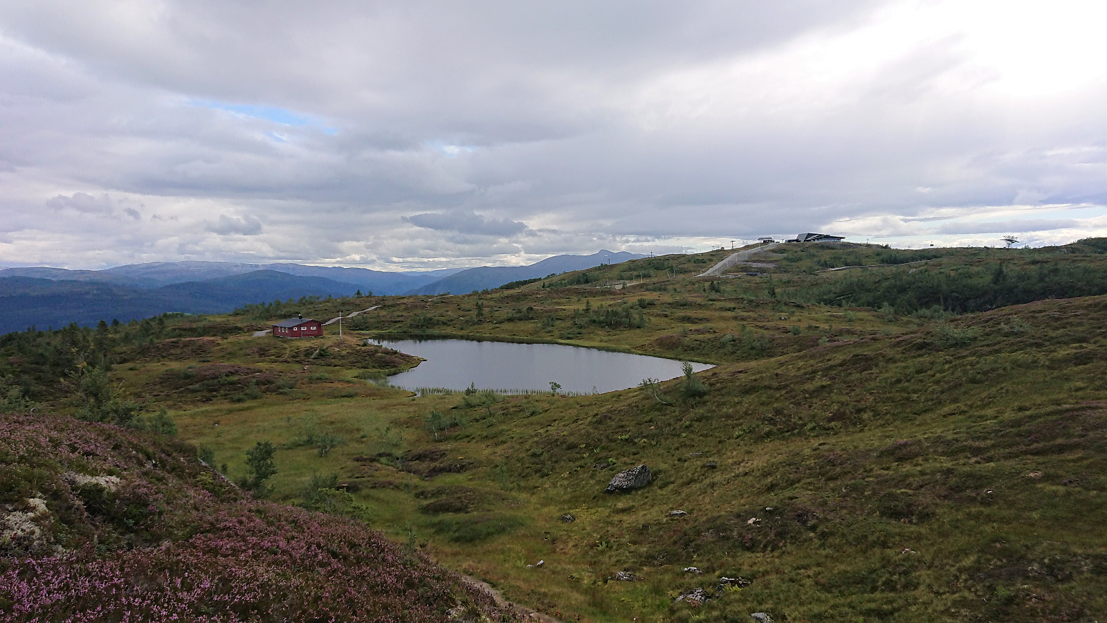
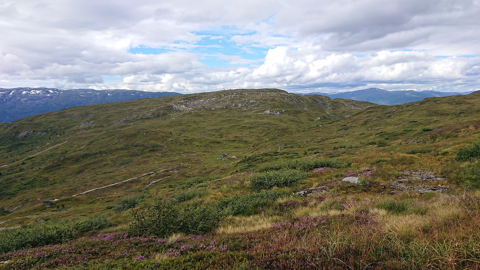
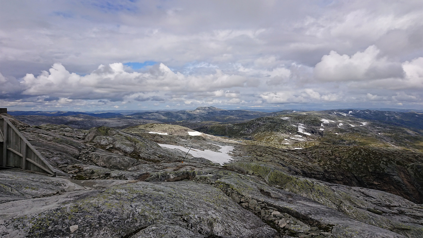
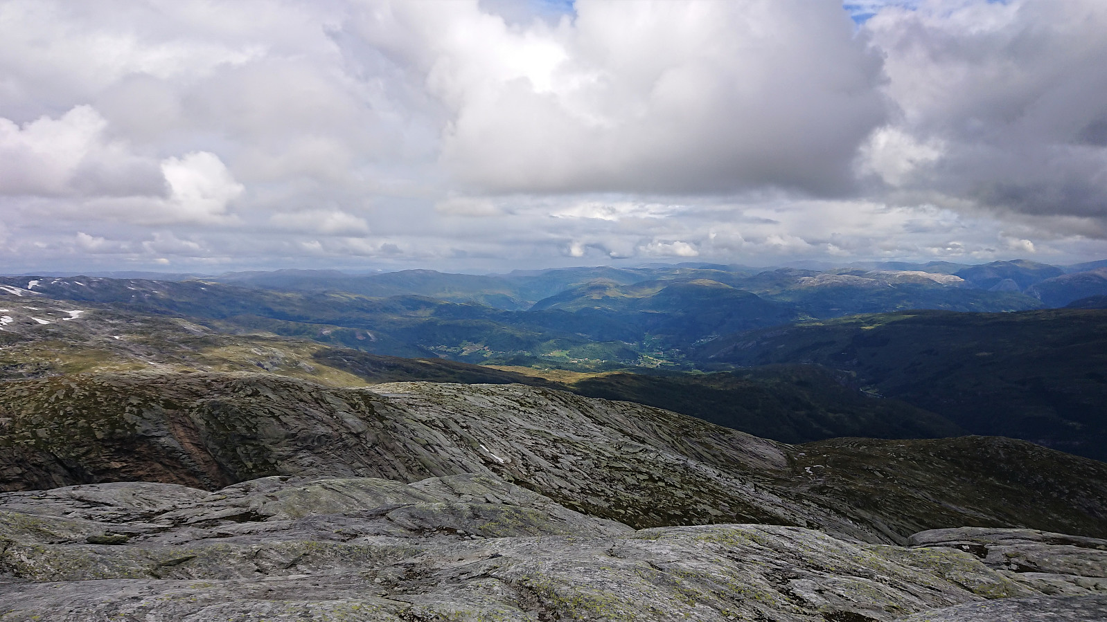
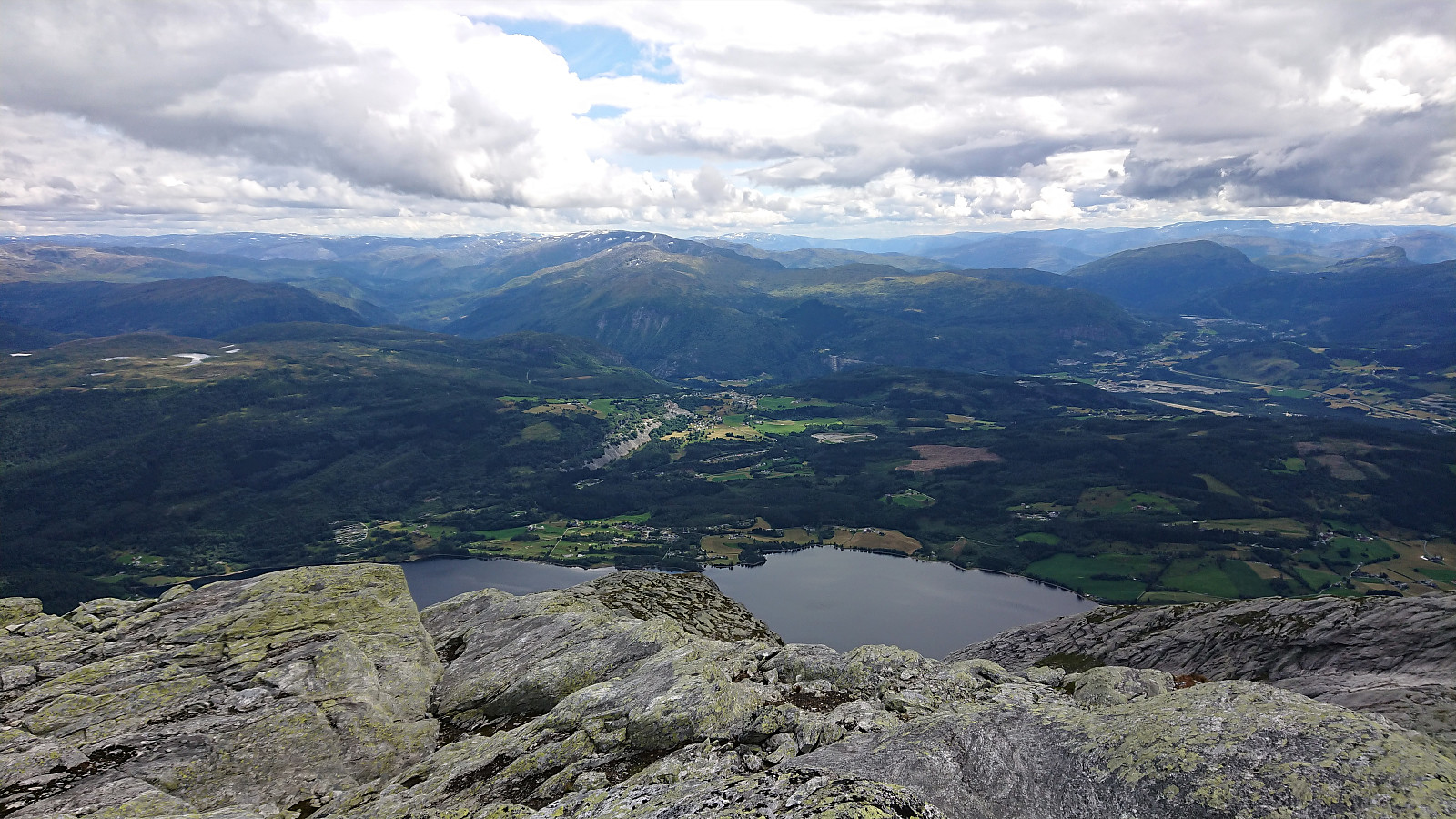
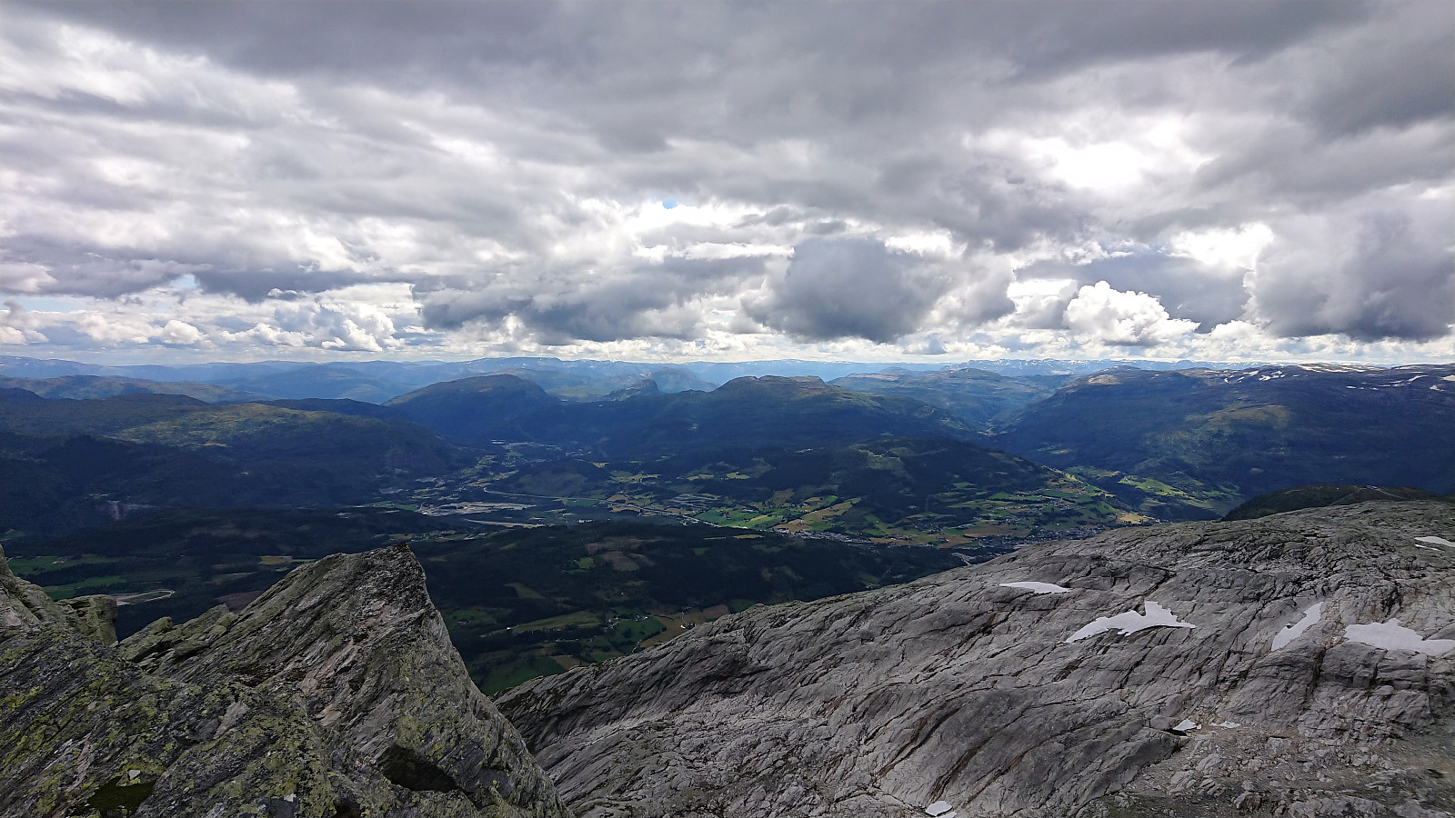
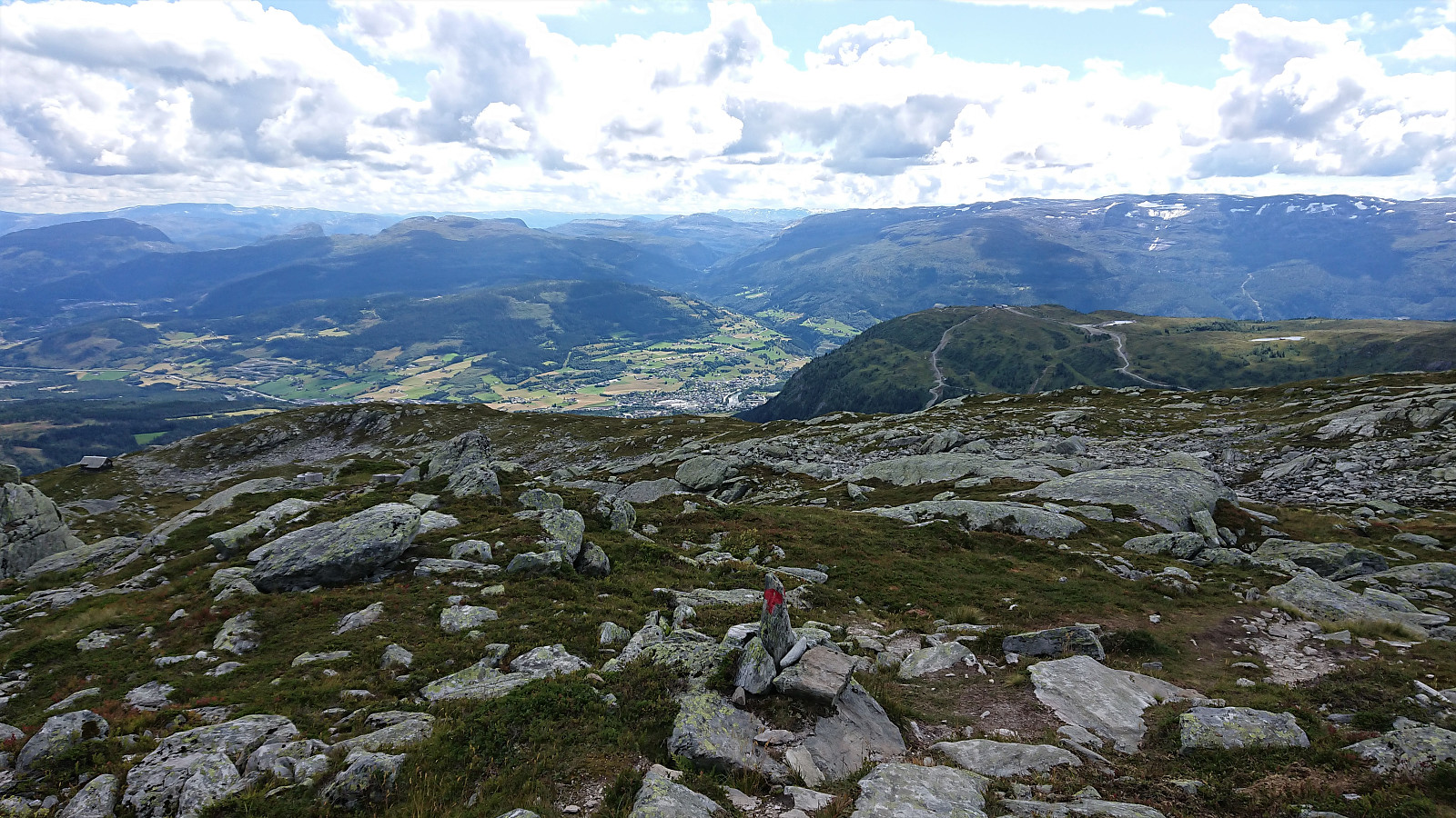
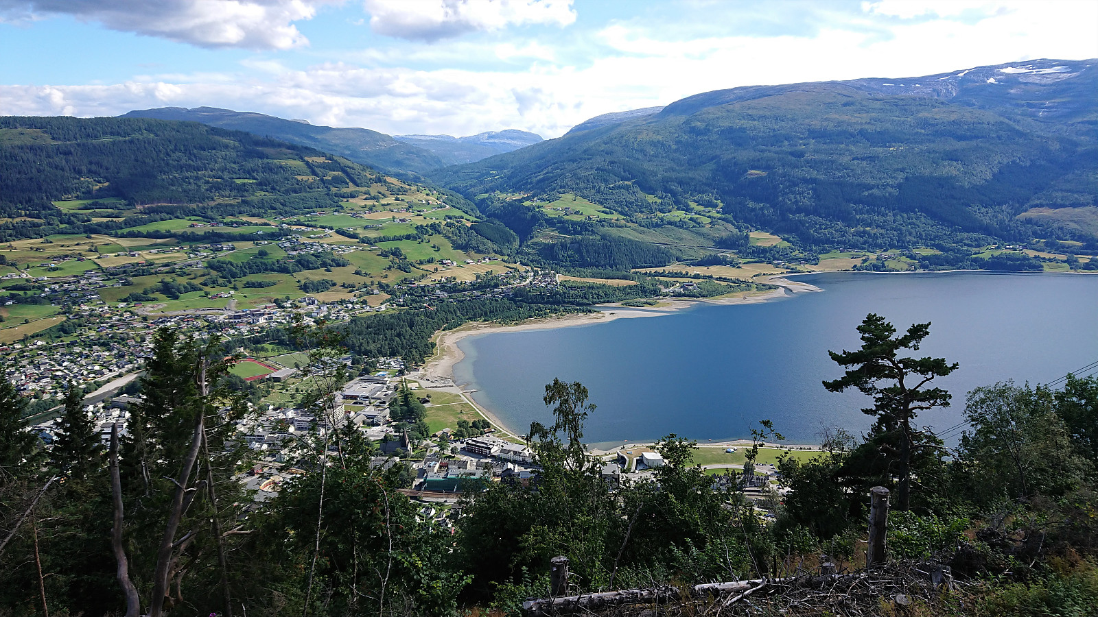
The summit provided excellent views, although with the sun hiding behind the clouds it was sadly not the best conditions for taking pictures. After a short lunch break, I therefore descended along the same route towards Hangur. I did not return to where I started the hike though, but rather followed a trail marked for Voss starting from southwest of Valbergstjørni.
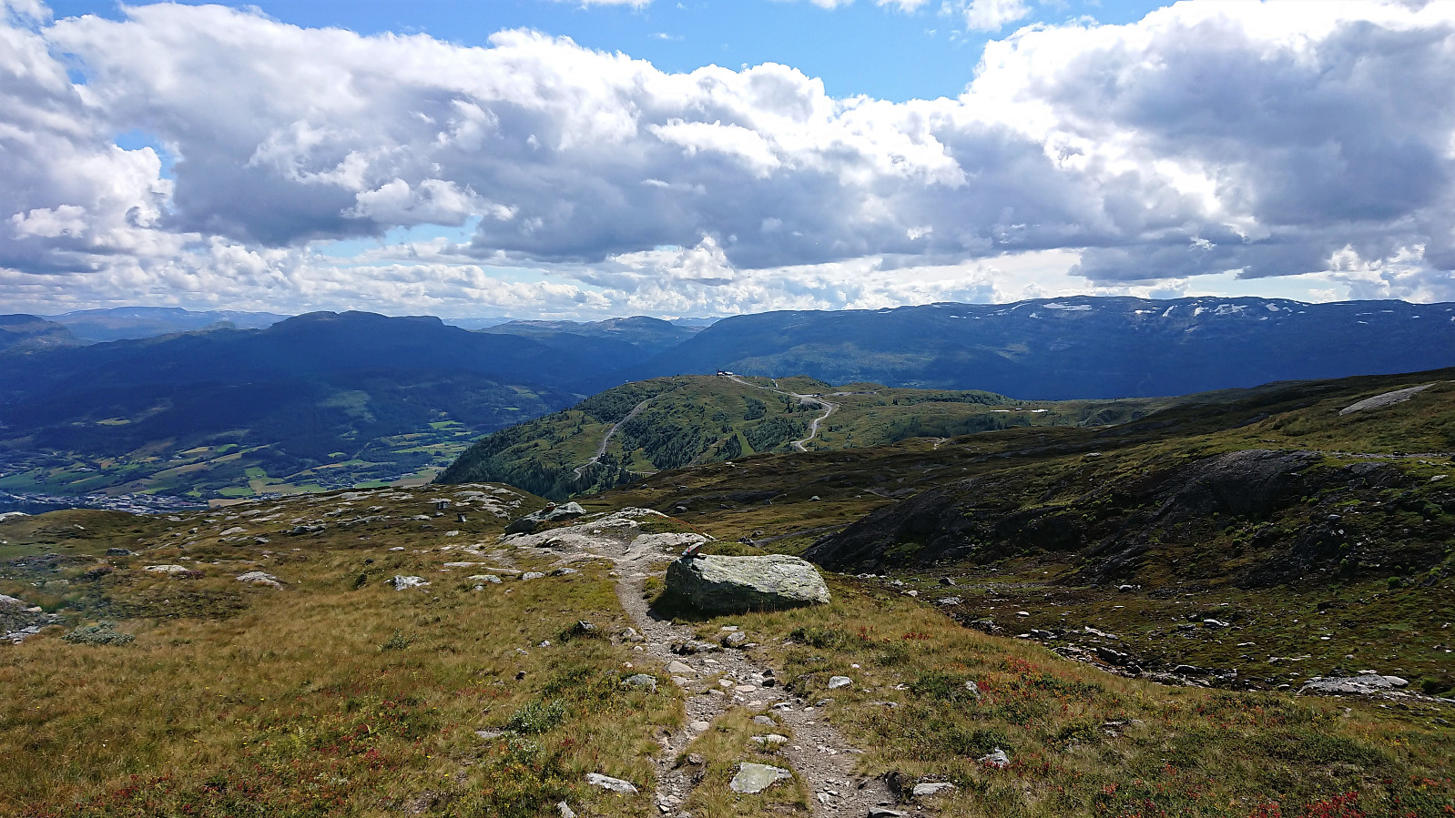
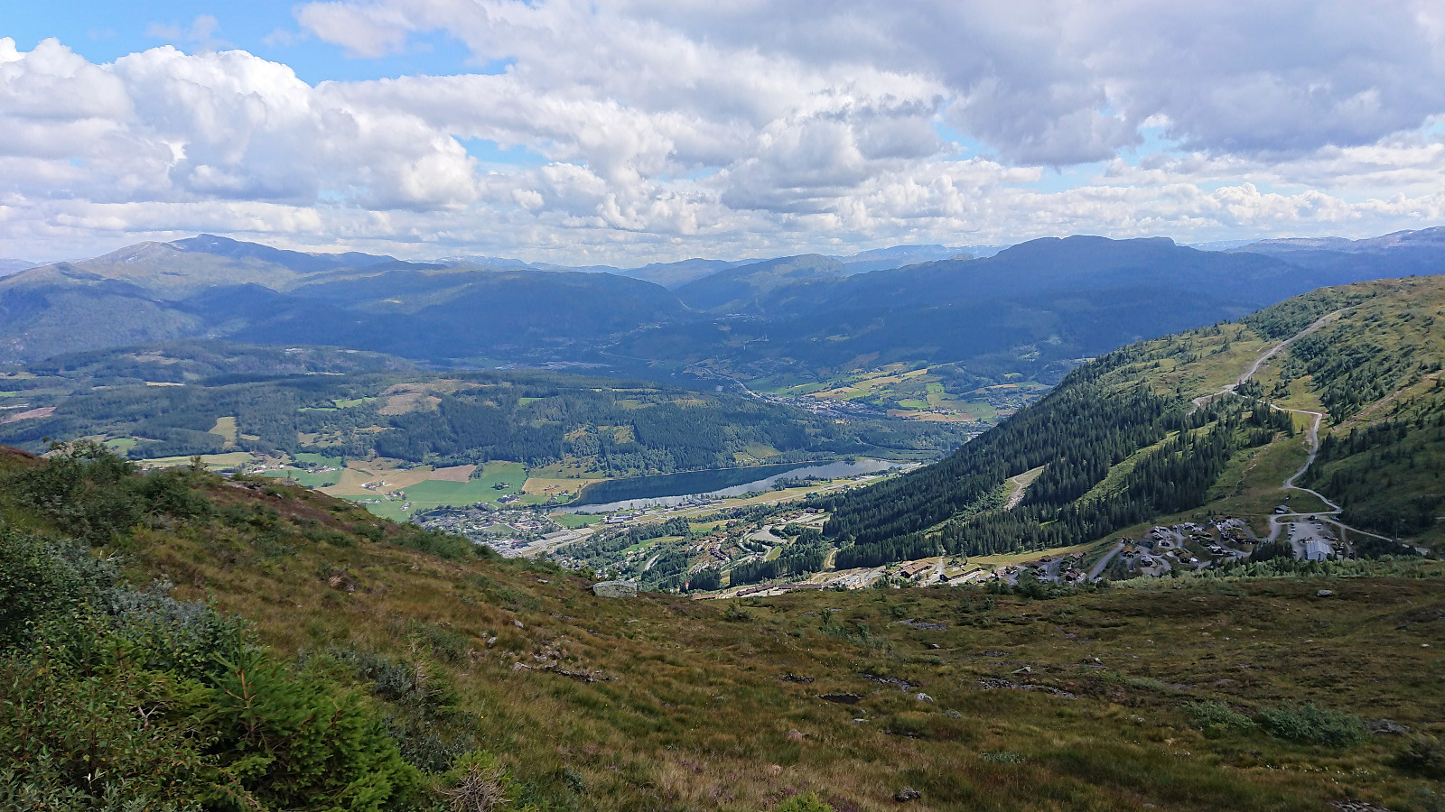
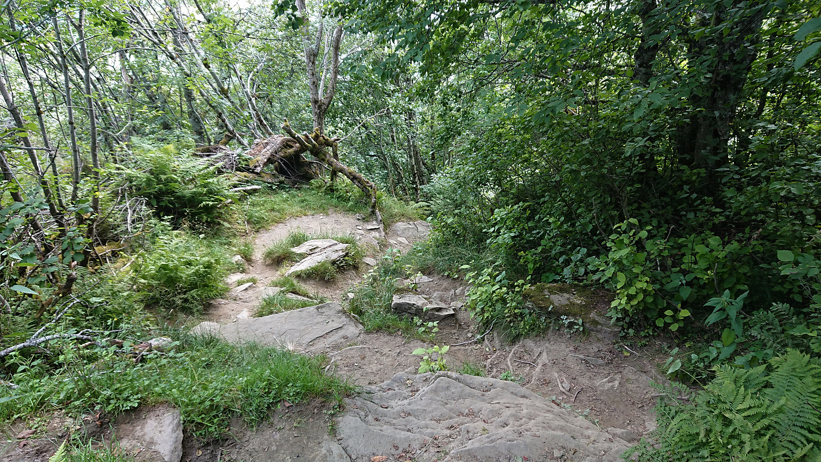
At first this marked trail was easy to follow, but after passing the upper station of the old cable car, it got significantly steeper, making me even more happy with my choice of "cheating" at the start of the hike. I was now even considering whether I ought to have taken the cable car on the descent as well. Not because of the steepness of the trail, as it was more interesting than difficult, but rather because I had a train at Voss I hoped to catch. And even though I could see the train station from the trail (at least every now and then), getting to the station in a way that was both fast and safe was not straightforward. But in the end, I made it to the station with around ten minutes to spare.
In summary, a very nice hike that can be highly recommended. The "cheat" of taking the cable car and thus starting the trip from the top of Hangur was also a success. And for those wanting an easier/faster descent, it is of course also possible to take the cable car back down as well. Or perhaps ask for a ride with one of the many paragliders taking the cable car? ;)

| Start date | 08.08.2021 10:15 (UTC+01:00 DST) |
| End date | 08.08.2021 16:26 (UTC+01:00 DST) |
| Total Time | 6h 10min |
| Moving Time | 5h 40min |
| Stopped Time | 0h 29min |
| Overall Average | 3.6km/h |
| Moving Average | 3.9km/h |
| Distance | 21.9km |
| Vertical meters | 947m |


User comments