
Båtevassfjellet from Einestranda (19.07.2021)

Written by hbar (Harald Barsnes)

| Start point | Einestranda (38m) |
|---|---|
| Endpoint | Einestranda (44m) |
| Characteristic | Hillwalk |
| Duration | 4h 55min |
| Distance | 14.5km |
| Vertical meters | 843m |
| GPS |
|
| Ascents | Båtevassfjellet (784m) | 19.07.2021 |
|---|
Båtevassfjellet from Einestranda
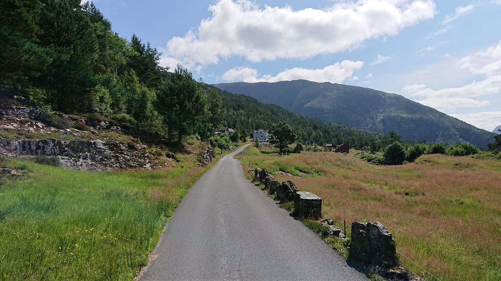
I started by taking the bus (or rather buses, four in total) to Einestranda. Here I managed to get off one stop too early. I think I can be excused by the fact that this particular stop, while having its own bus stop sign, does not appear in the list of bus stops at skyss.no. In any case, it was only a short 250 meters walk to the correct stop.
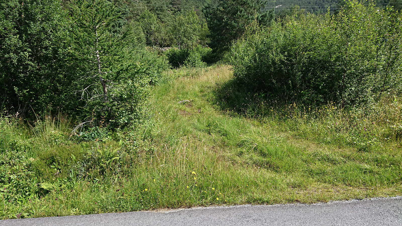
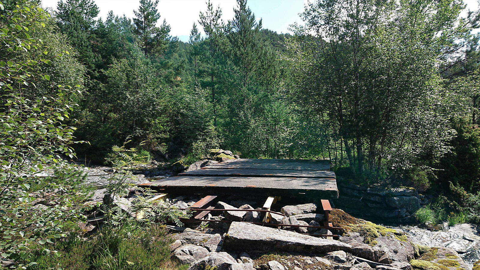
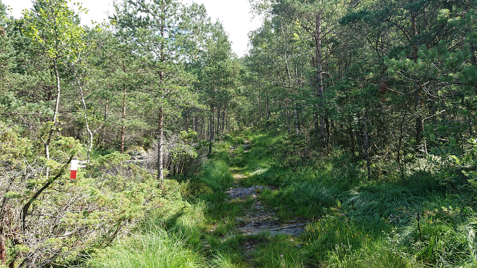
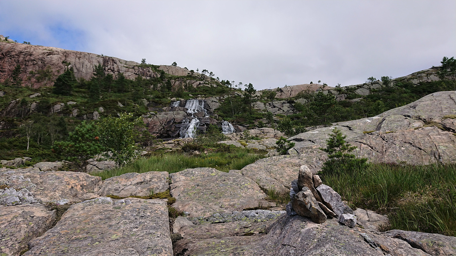
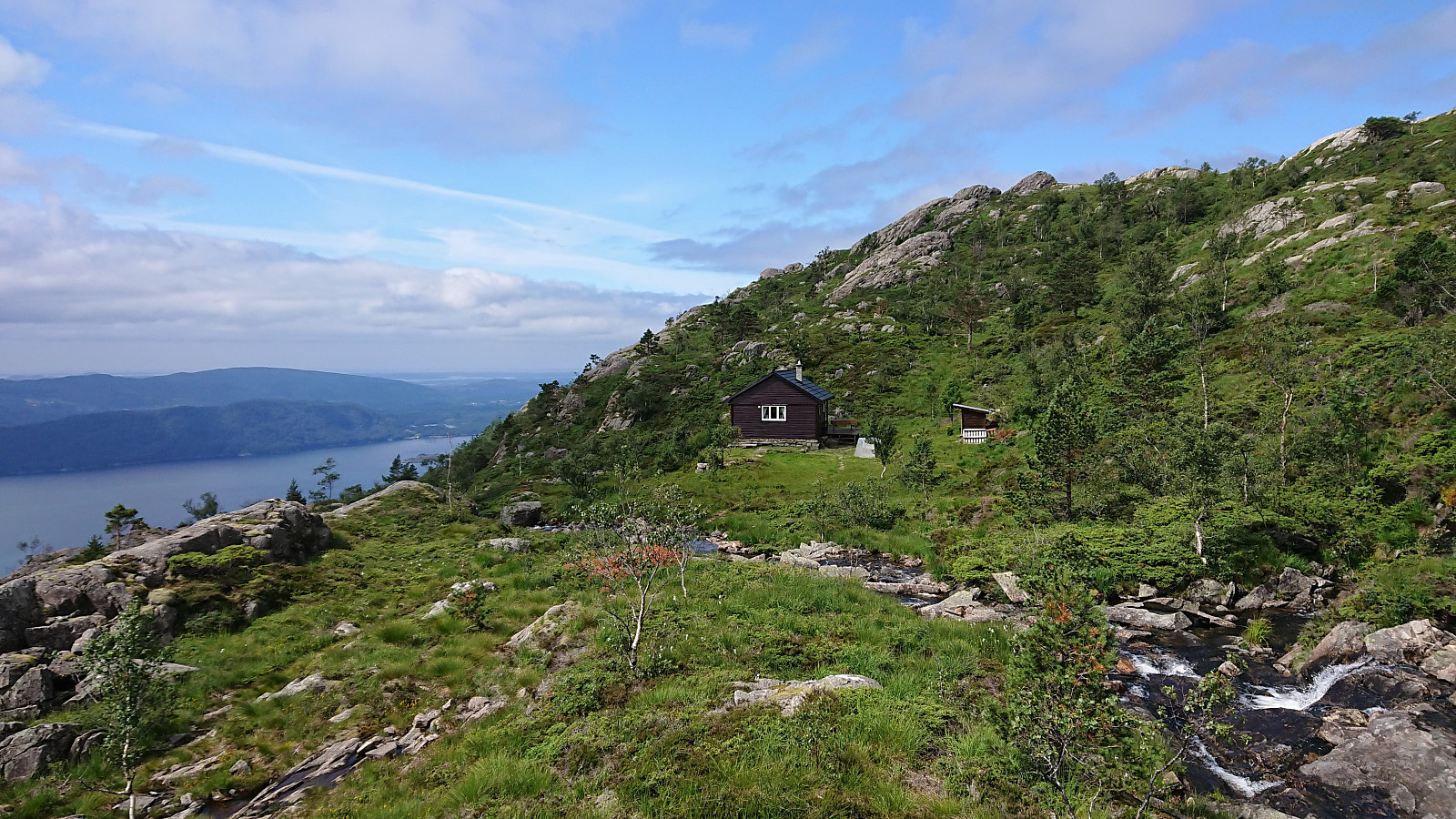
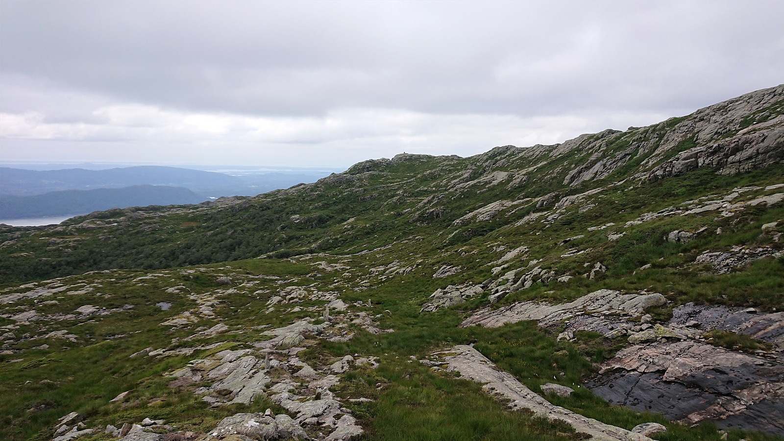
Next, the unmarked trailhead for Båtevassfjellet was easily located just before crossing the river at Einestranda. The trail itself however was marked, and the first trail marker could be spotted from the trailhead. After a short detour following some trail markers on the north/west side of the river, I retraced my steps and crossed the river via a concrete bridge, and quickly picked up the trail markers on the other side. From there on the trail was overall easy to follow all the way until reaching the cabin north of Dravlekupa.
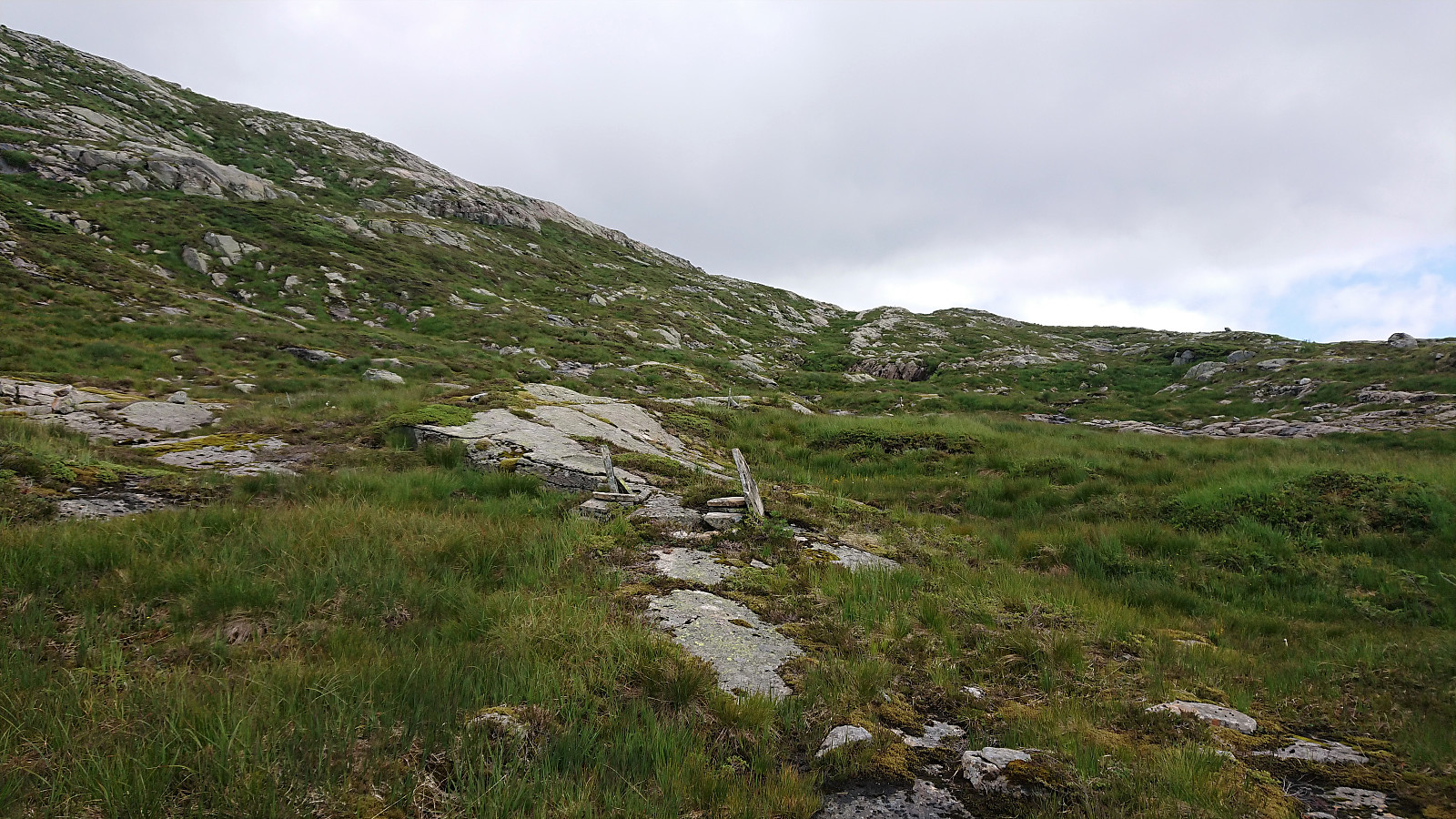
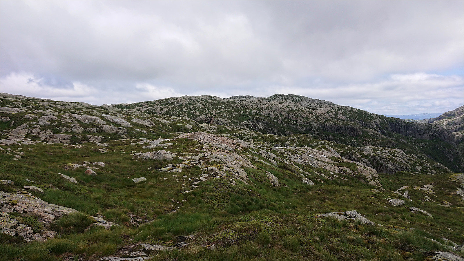
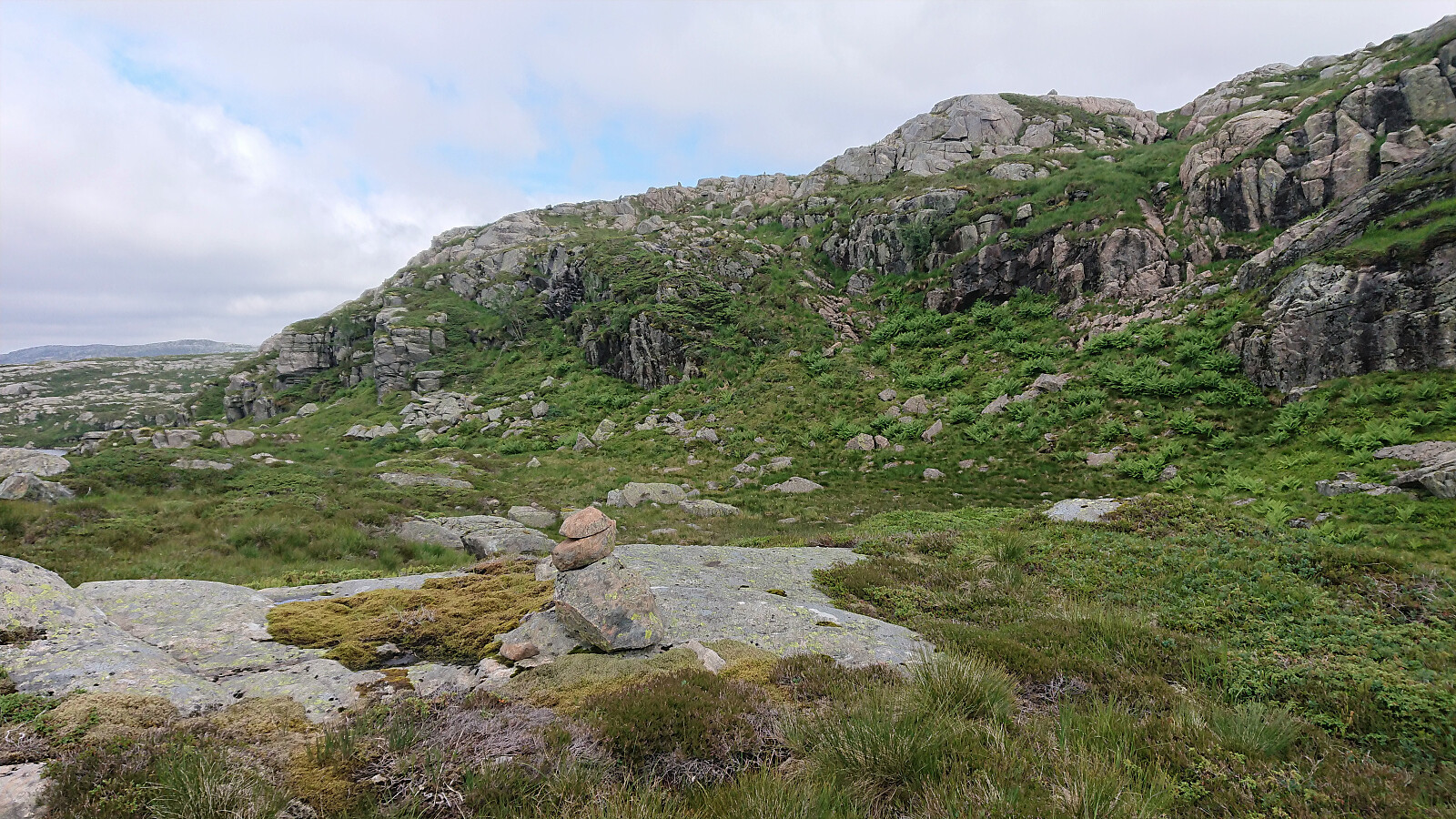
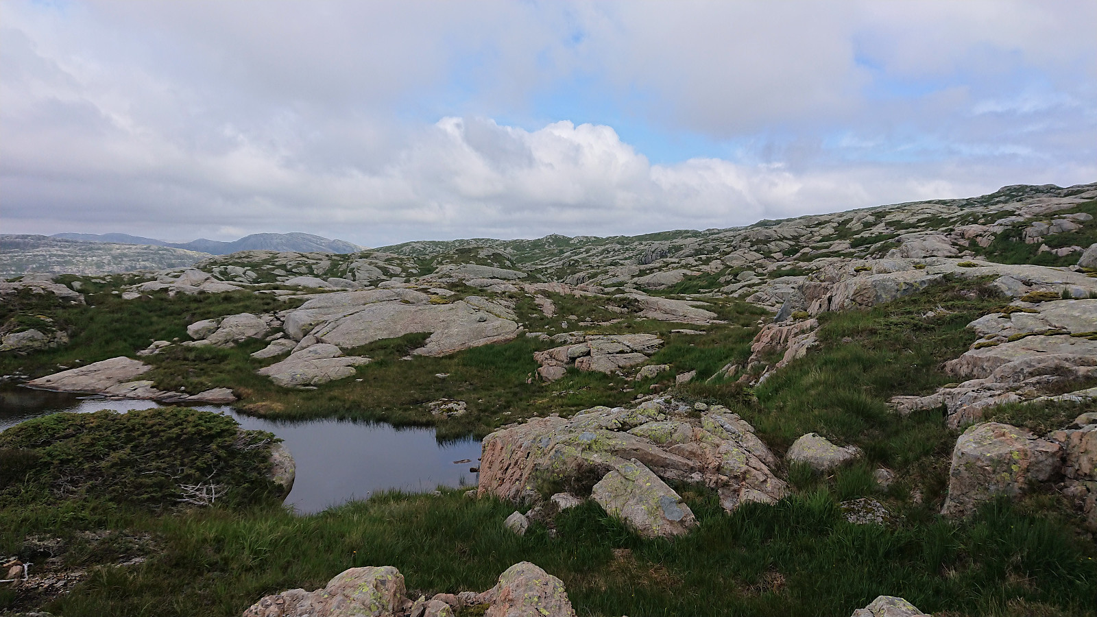
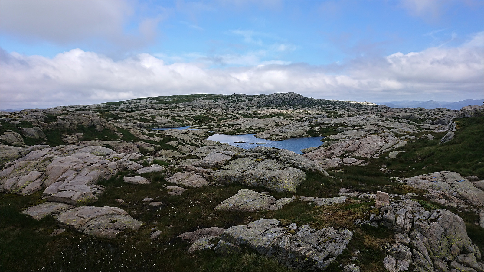
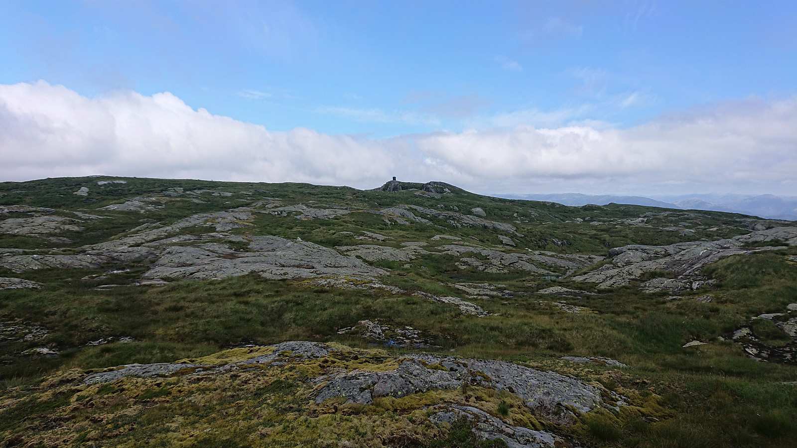
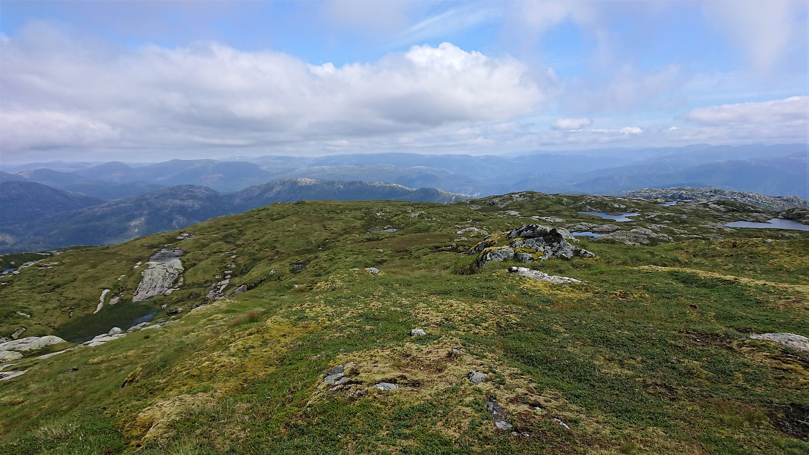
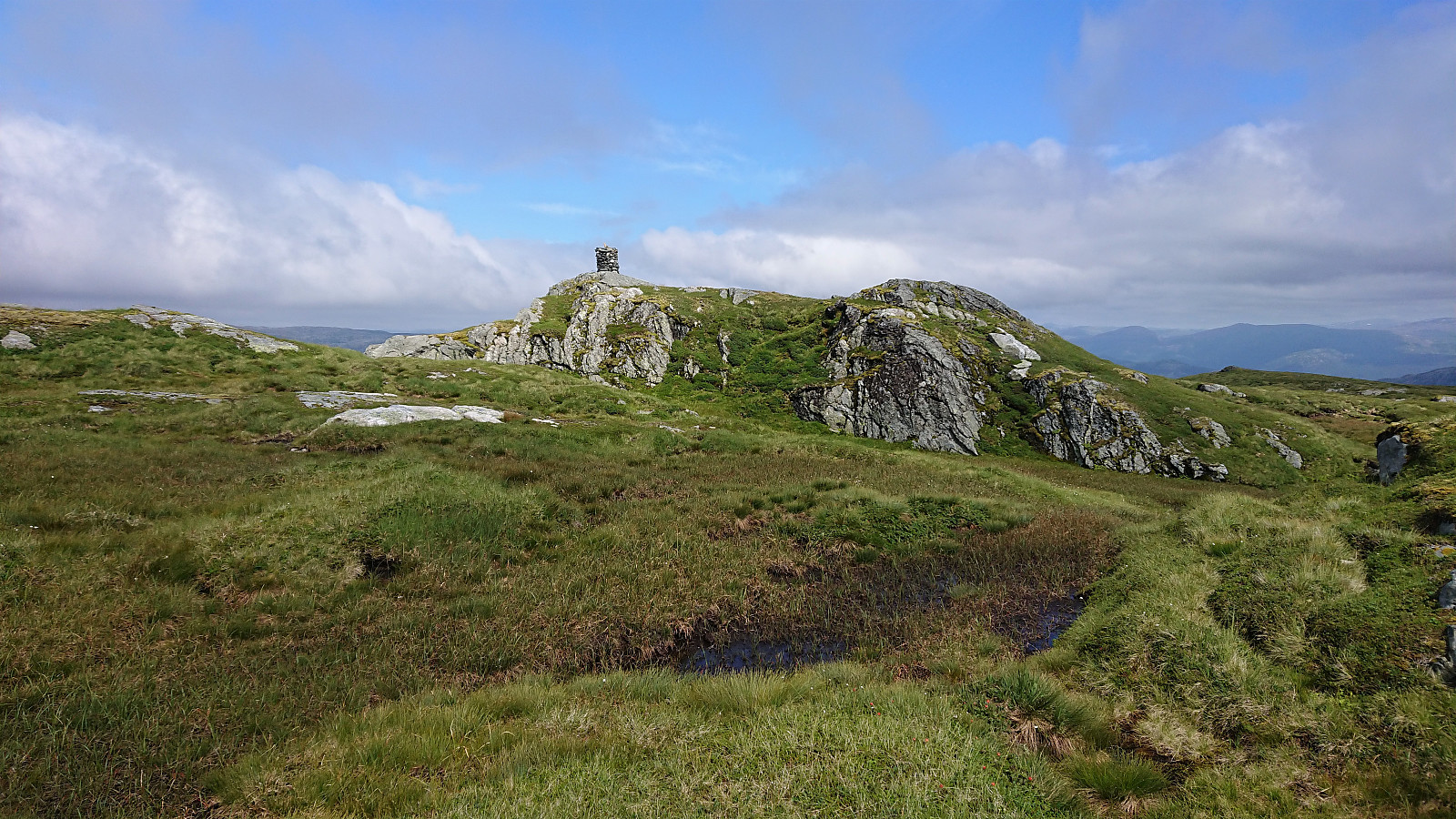
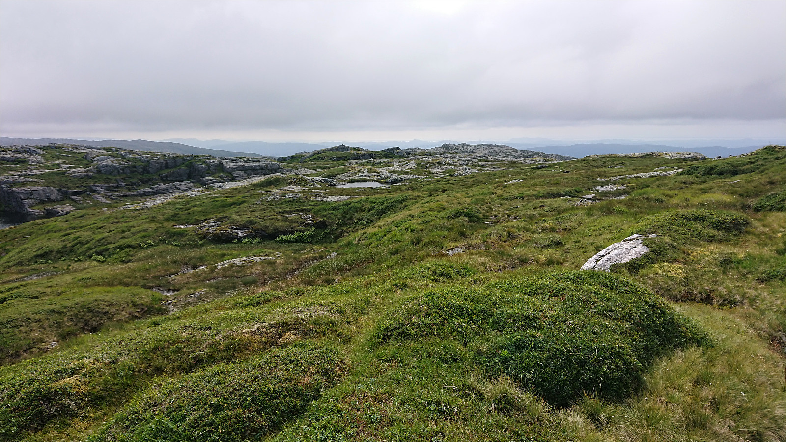
Here the trail became rather weak, and pretty much disappeared when it turned east towards the summit. Thankfully there were however lots of small cairns marking the recommended route. And while these did not always seem to head in the right direction, following them is recommended as the terrain, with its many ups and downs and lots of small lakes, would otherwise have been much more difficult to traverse efficiently.
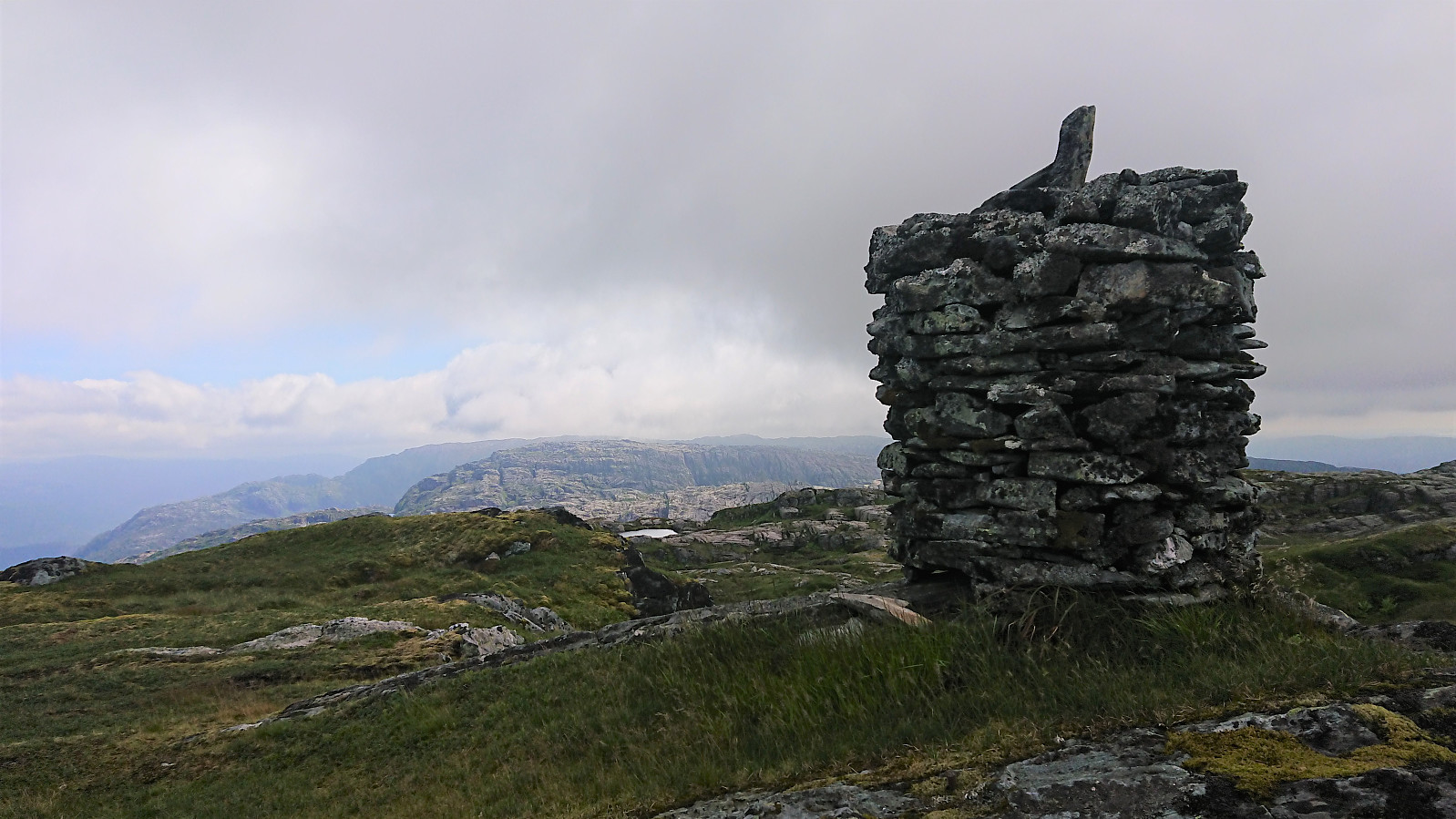
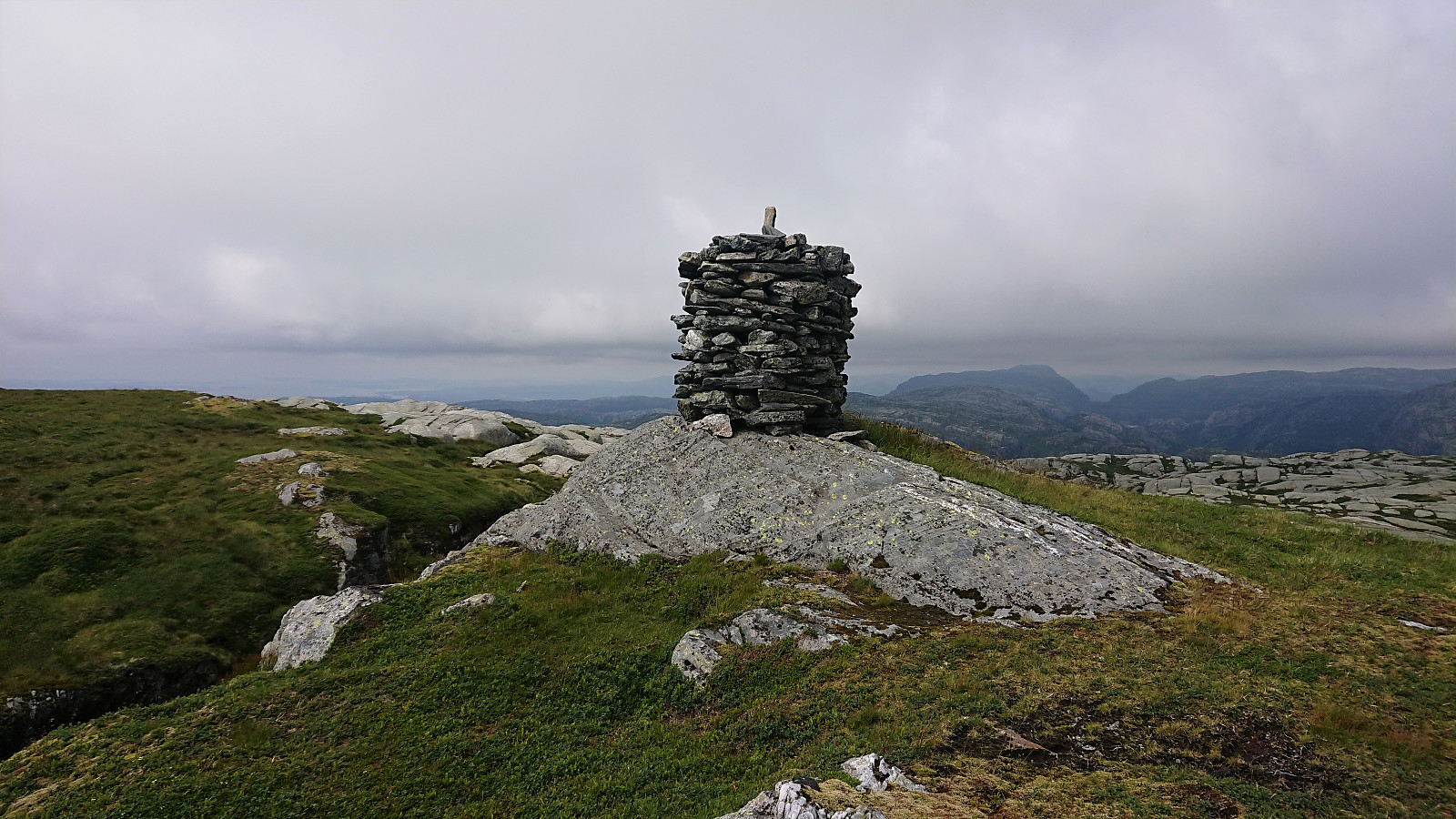
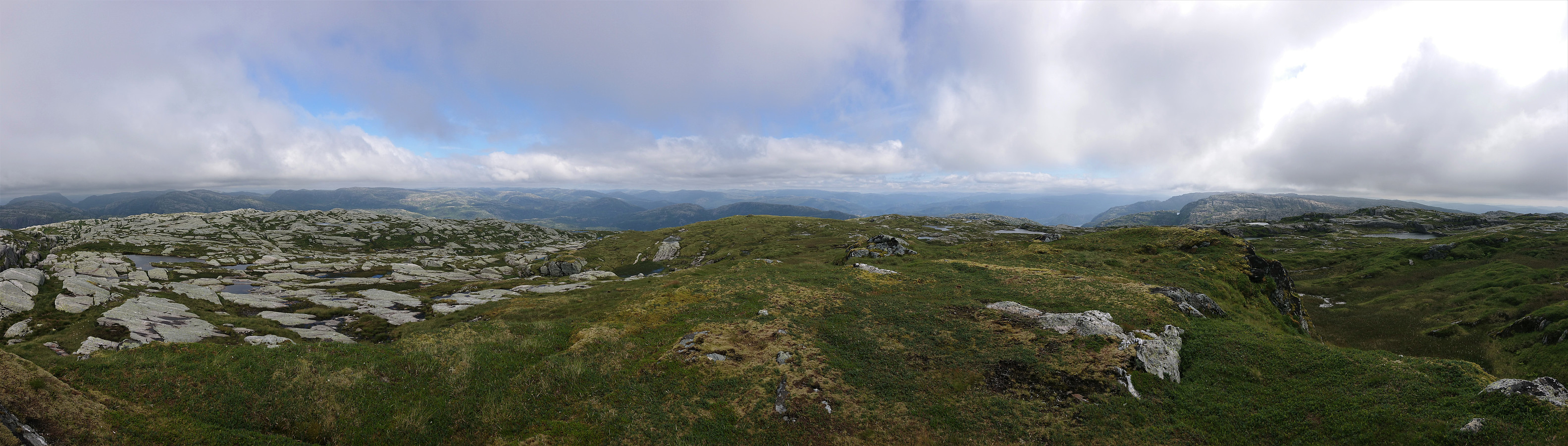
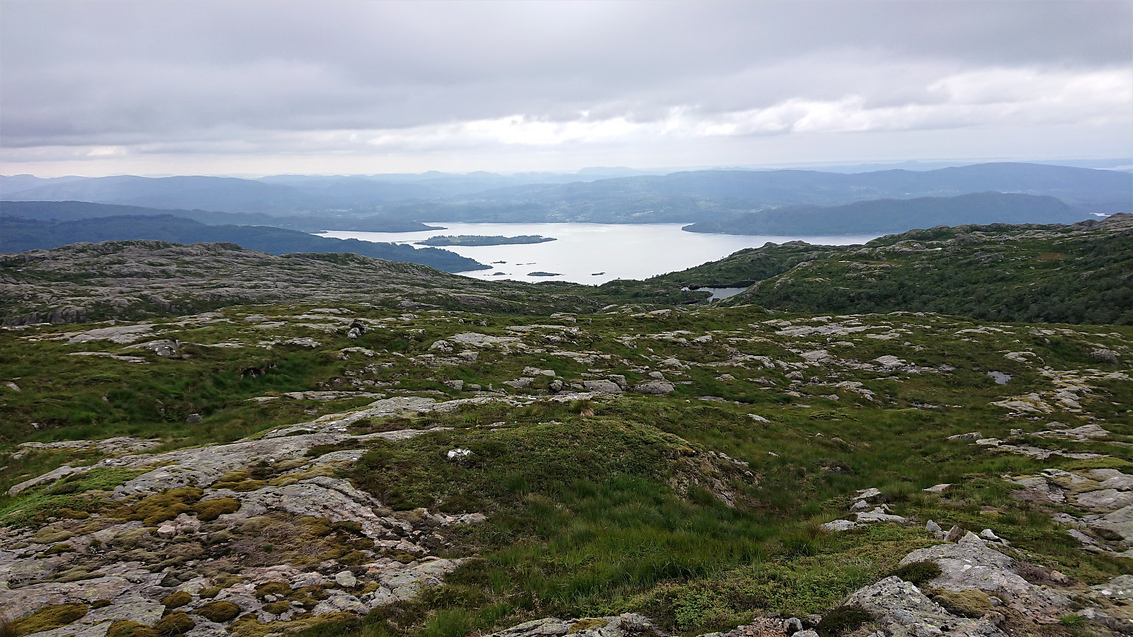
In the end, the summit was reached without any issues, and the sun even made a brief reappearance, allowing me to enjoy the excellent panoramic view, although limited by the low-hanging clouds in the distance, most noticeable towards the west. After a short break, I descended along the same route back to the main road for the bus(es) back to Bergen.
To conclude, an excellent hike that can be highly recommended. Probably best in nice weather though, as the terrain towards the summit can be quite disorienting, especially in low-visibility conditions, hence bringing a GPS and/or a map and compass is recommended.
| Start date | 19.07.2021 12:12 (UTC+01:00 DST) |
| End date | 19.07.2021 17:07 (UTC+01:00 DST) |
| Total Time | 4h 55min |
| Moving Time | 4h 22min |
| Stopped Time | 0h 32min |
| Overall Average | 3.0km/h |
| Moving Average | 3.3km/h |
| Distance | 14.5km |
| Vertical meters | 843m |


User comments