
Stemhaugen ved Liavatnet (08.07.2021)

Written by hbar (Harald Barsnes)

| Start point | Lyngbø Rv555 (17m) |
|---|---|
| Endpoint | Tennebekk (48m) |
| Characteristic | Hillwalk |
| Duration | 0h 59min |
| Distance | 3.8km |
| Vertical meters | 144m |
| GPS |
|
| Ascents | Stemhaugen (101m) | 08.07.2021 |
|---|
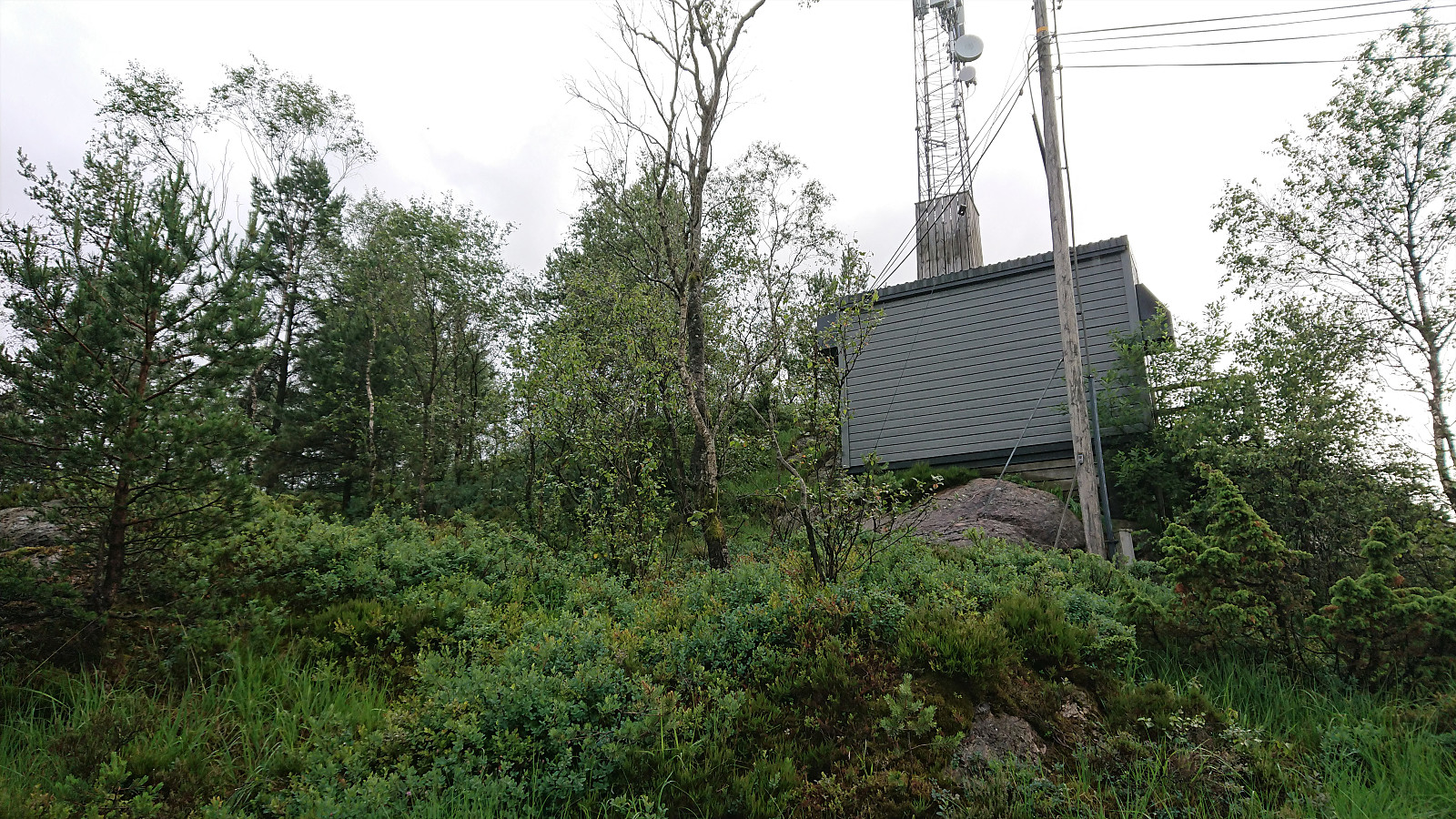
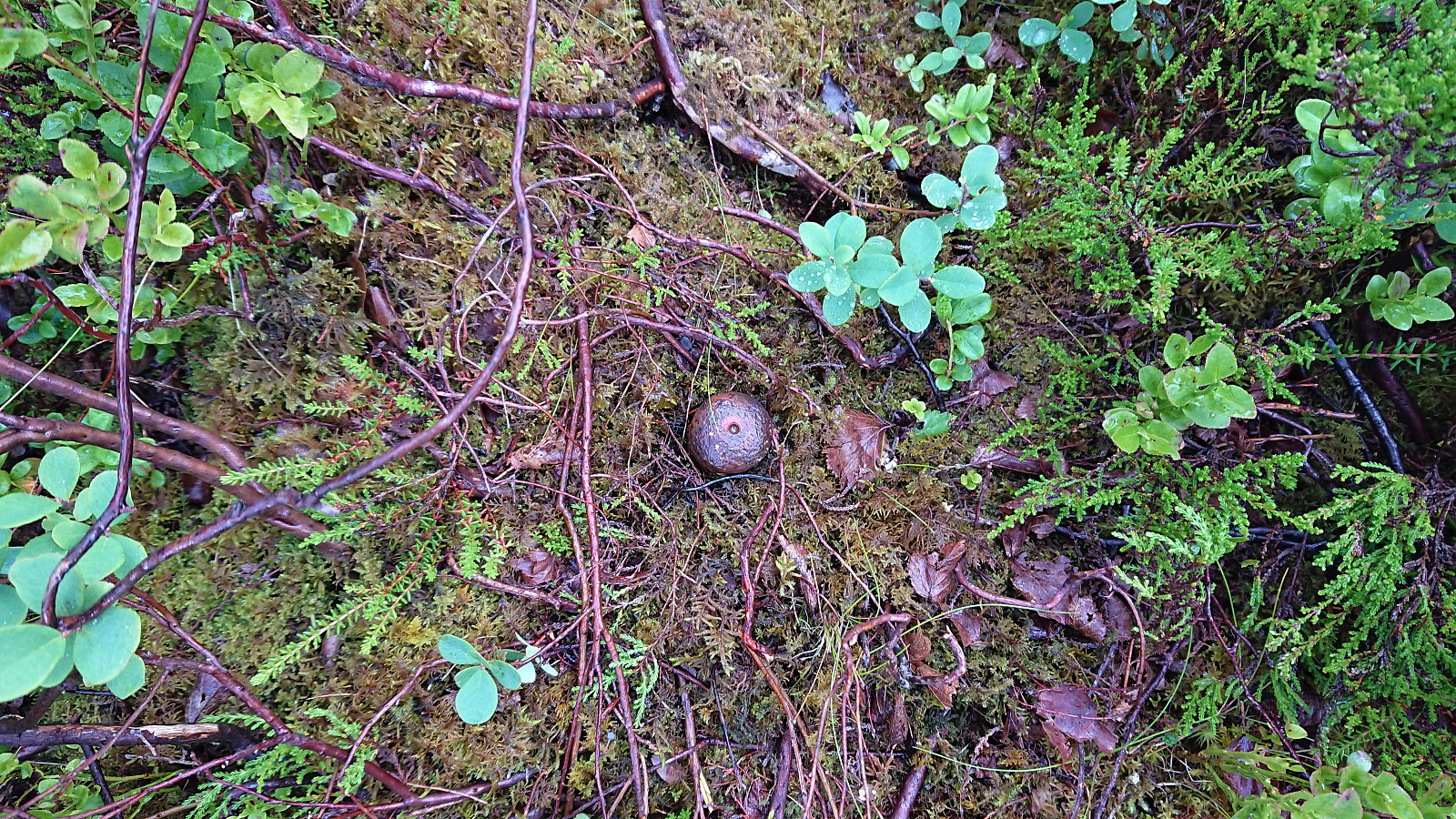
Stemhaugen ved Liavatnet
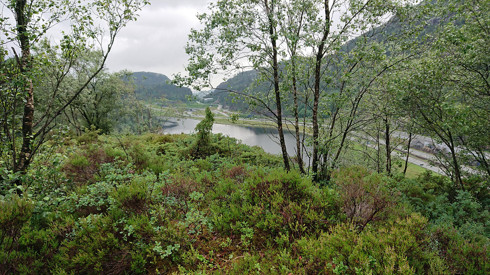
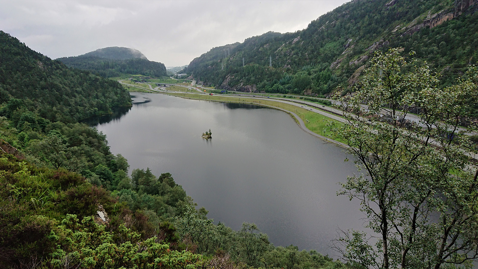
Short and wet evening hike for a visit of Stemhaugen ved Liavatnet. While there perhaps are some weak trails/tracks, I mainly ended up finding my own way, and in any case the summit was reached without any difficulties. Nice views across Liavatnet, although I'm pretty sure most hikers will not really see the point of ascending this small hill. After descending, I also included a walk along Liavatnet.


| Start date | 08.07.2021 19:16 (UTC+01:00 DST) |
| End date | 08.07.2021 20:16 (UTC+01:00 DST) |
| Total Time | 0h 59min |
| Moving Time | 0h 57min |
| Stopped Time | 0h 2min |
| Overall Average | 3.9km/h |
| Moving Average | 4.0km/h |
| Distance | 3.8km |
| Vertical meters | 143m |


User comments