
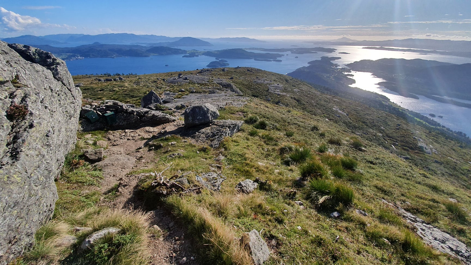
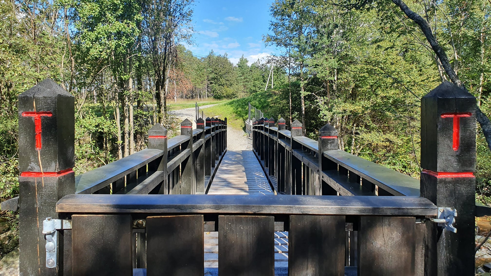
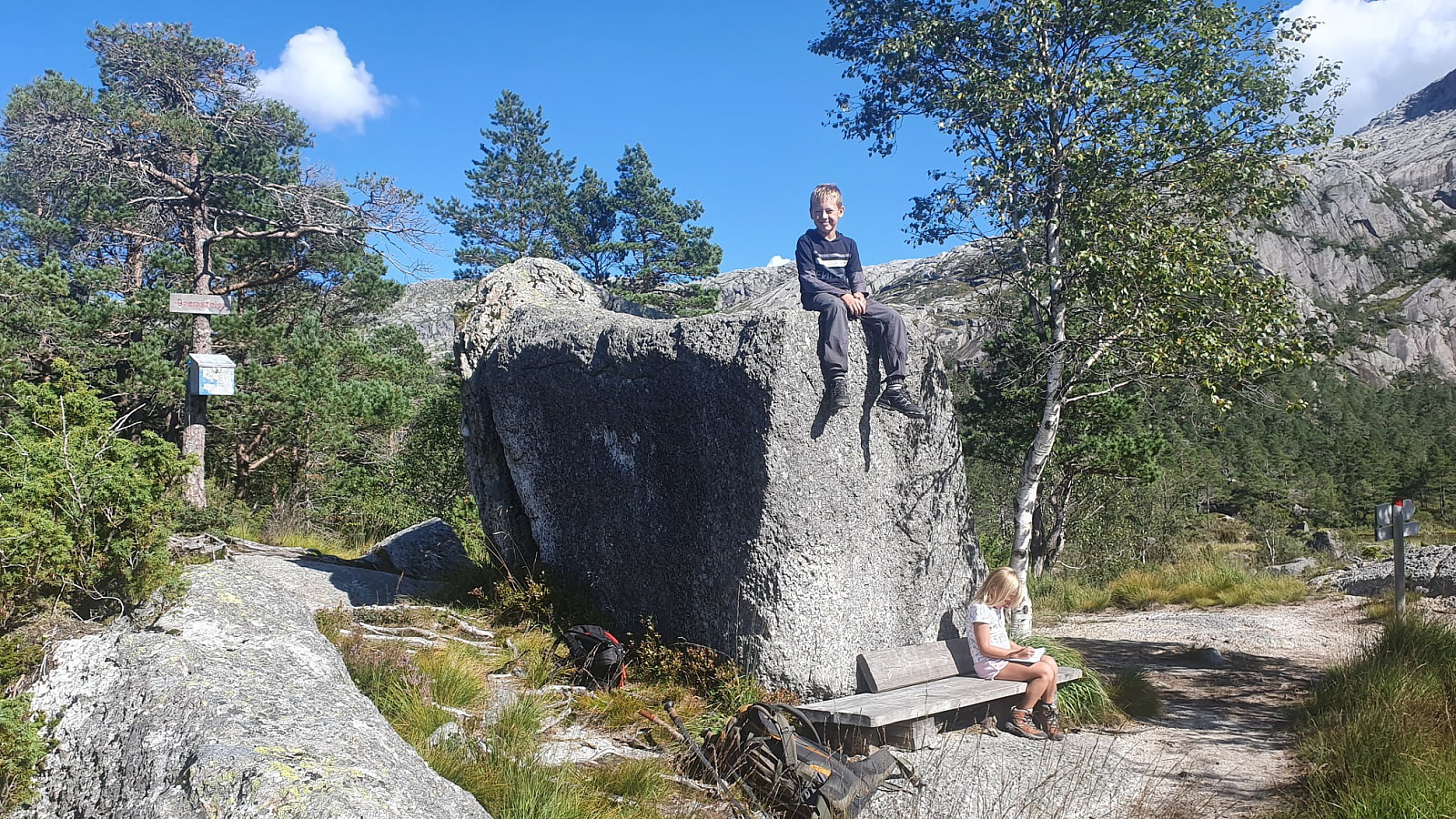
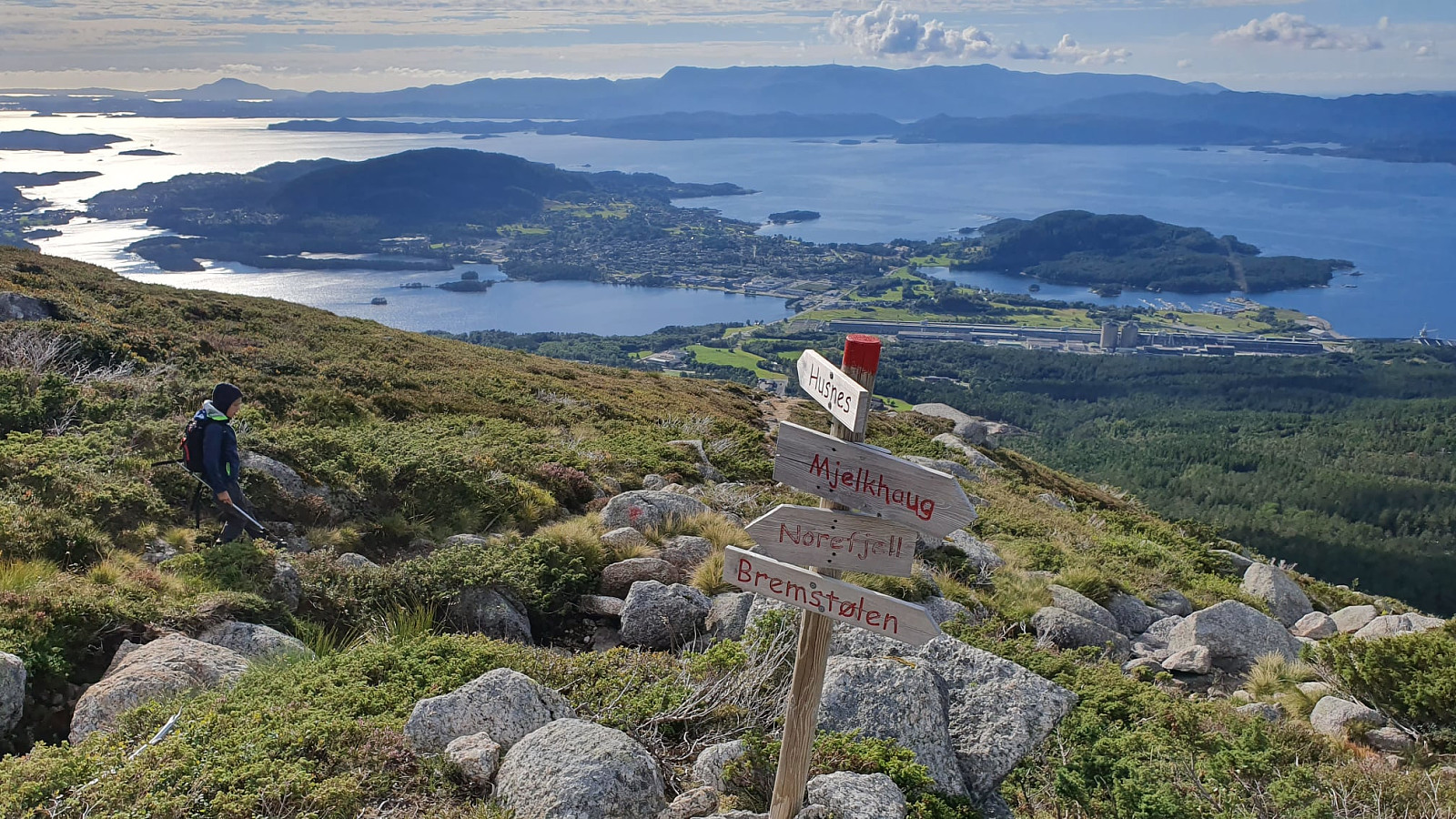
Kvinnherad - Nordfjellet 559m (przez Bremstølen) (02.05.2020)

Written by Robert7777 (Robert Grod)

| Characteristic | Hillwalk |
|---|---|
| Distance | 10.2km |
| Vertical meters | 711m |
| GPS |
|
| Ascents | Nordfjellet (560m) | 02.05.2020 |
|---|---|---|
| Visits of other PBEs | Bremstølen (460m) | 02.05.2020 |
| Husnesfjell p-plass (49m) | 02.05.2020 | |
| Rasteplass før Bremstølen (420m) | 02.05.2020 10:20 |
Kvinnherad - Nordfjellet 559m (przez Bremstølen)
Trasa 12 w Kvinnherad kommune (Ślady w Norwegii)
Dane z gps :
Stopień trudności: Czerwony
Odległość: 10,57 km
Czas: 7 godz : 39 min
Średnia prędkość: 1,38 km / h.
Średnie tempo: 43:28 min / km
Minimalna wysokość: 5o m
Maksymalna wysokość: 687 m
Różnica wzniesień: 634 m
Punkty doświadczenia: 24
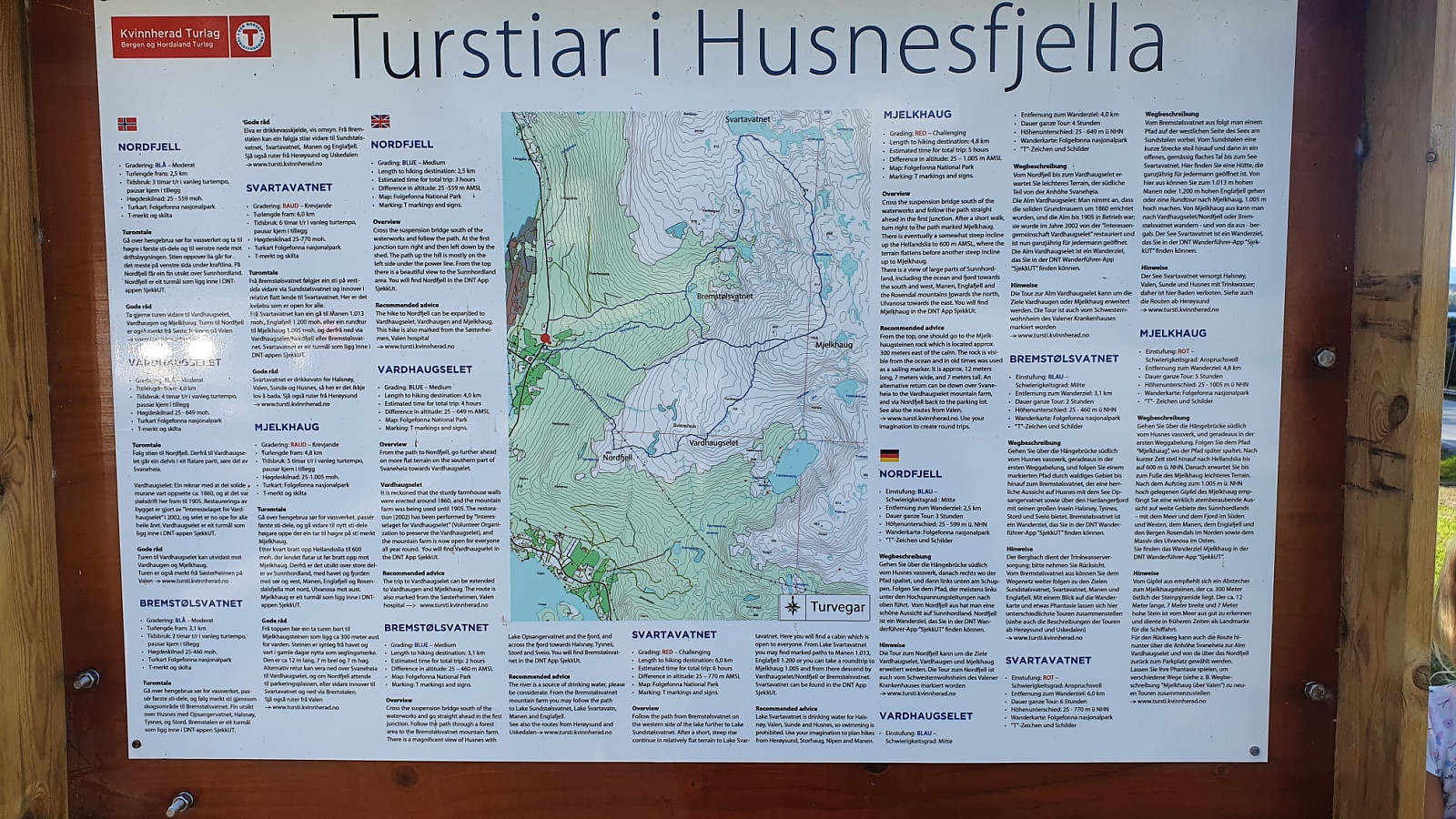
Punkty wpisów : Bremstølen, Nordfjellet
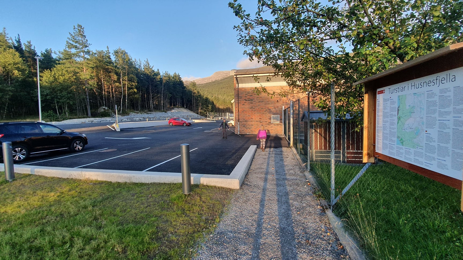
Punkt startowy: VQ6H+J4 Onarheim (kod do google maps)
Punkt końcowy: VQ6H+J4 Onarheim (kod do google maps)
Parking: VQ6H+J5 Onarheim (kod do google maps)


User comments