
Trengereidhotten (13.02.2021)

Written by hbar (Harald Barsnes)

| Start point | Gullbotn (245m) |
|---|---|
| Endpoint | Gullbotn (245m) |
| Characteristic | Backcountry skiing |
| Duration | 2h 40min |
| Distance | 9.7km |
| Vertical meters | 447m |
| GPS |
|
| Ascents | Trengereidhotten (577m) | 13.02.2021 |
|---|---|---|
| Visits of other PBEs | Gullbotn p-plass (244m) | 13.02.2021 |
| Kløverhytten (privat) (260m) | 13.02.2021 |
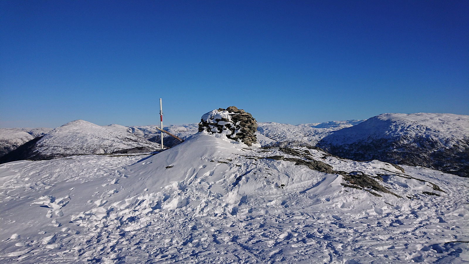
Trengereidhotten
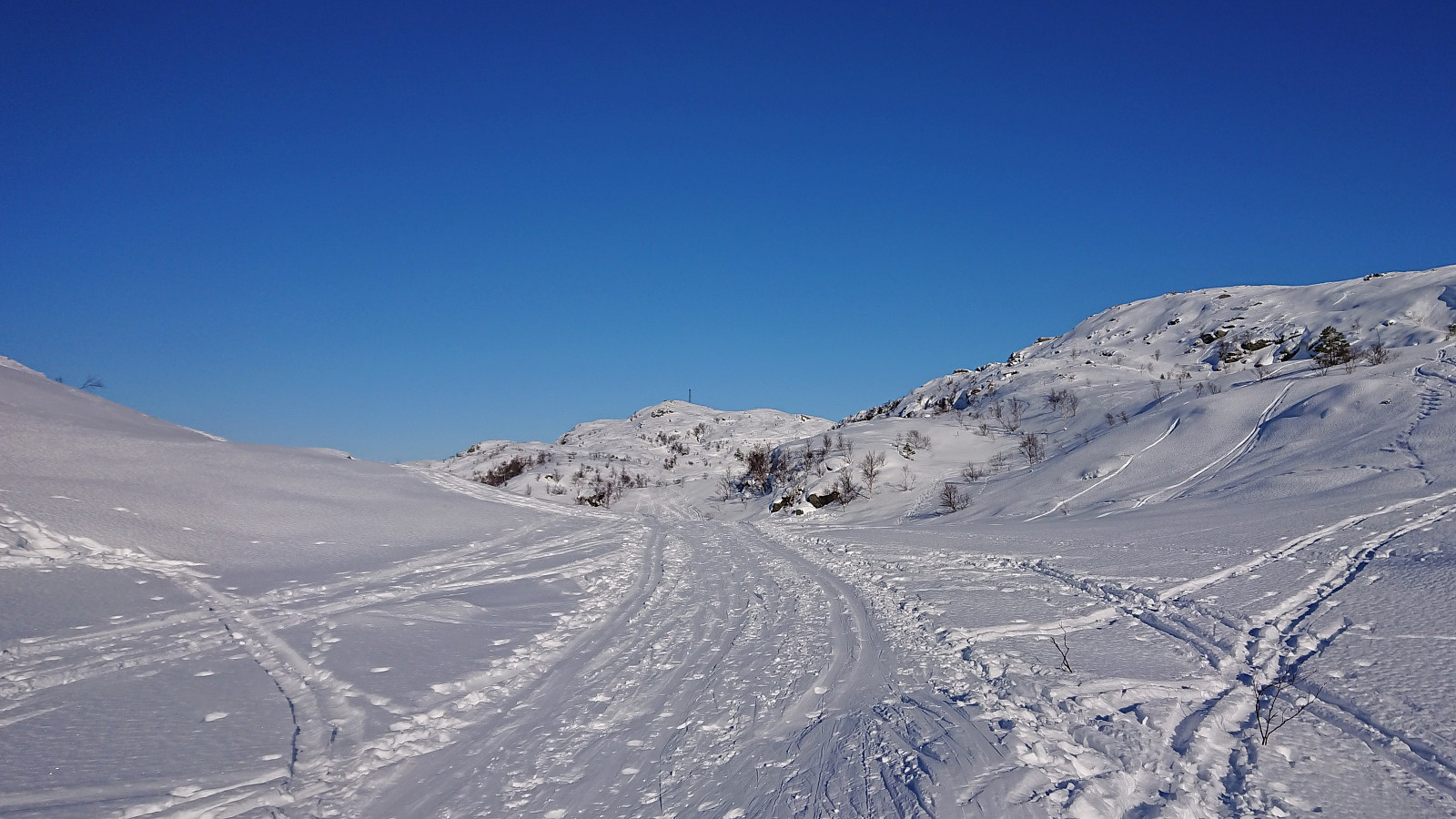
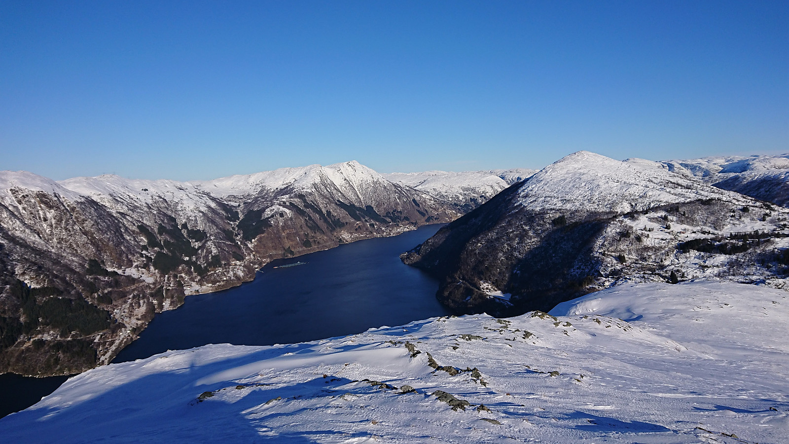
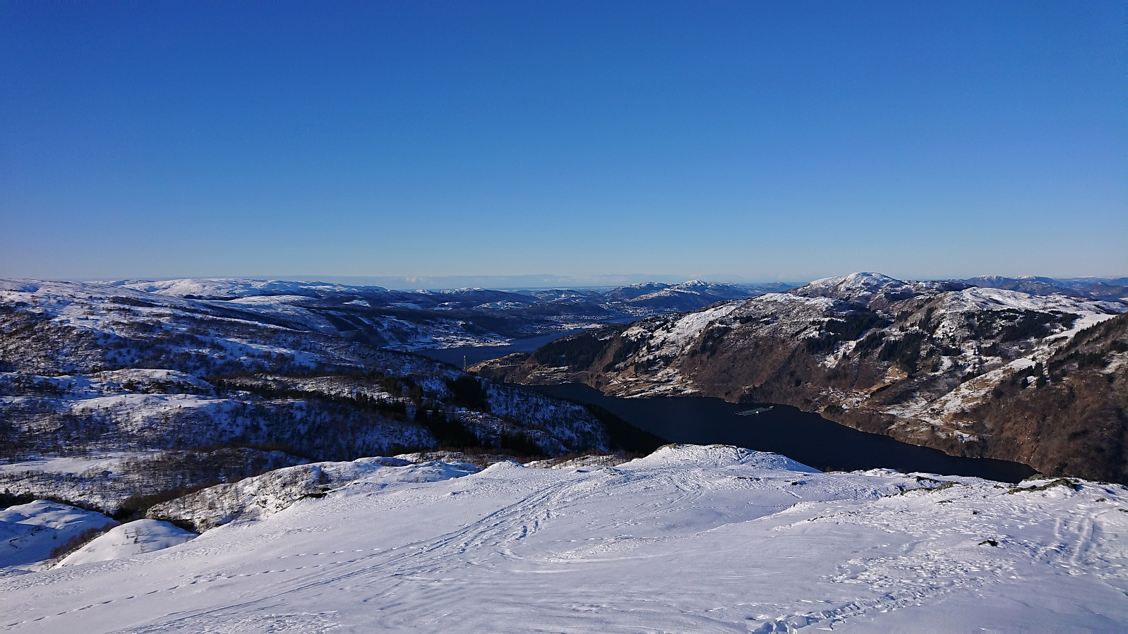
After initially failing to find any free parking spaces at Gullbotn (on either side of the main road), we ended up parking next to the road only a couple hundred meters to the south where there was room for maybe a dozen cars. We then returned on foot to Gullbotn and from there followed the skiing trail west. In order to stay in the sun, we ditched the option of ascending to Kråfjellet and rather headed north to Trengereidhotten, enjoying excellent skiing conditions and next to no wind. The wind however picked up a bit at the summit and we therefore did not stay long before starting our descent and rather taking our short lunch break about halfway back down to Gullbotn. To shorten the walk along the main road we did not return to the main parking lot, but instead passed by Kløverhytten on our way back to the car. Overall, an excellent short skiing trip that can be highly recommended.
| Start date | 13.02.2021 11:13 (UTC+01:00) |
| End date | 13.02.2021 13:53 (UTC+01:00) |
| Total Time | 2h 40min |
| Moving Time | 2h 11min |
| Stopped Time | 0h 28min |
| Overall Average | 3.6km/h |
| Moving Average | 4.4km/h |
| Distance | 9.7km |
| Vertical meters | 446m |


User comments