
Kanadaskogen with Hesjaholten (25.12.2020)

Written by HHauser (Helwig Hauser)

| Start point | Varden (45m) |
|---|---|
| Endpoint | Varden (45m) |
| Characteristic | Hillwalk |
| Duration | 3h 00min |
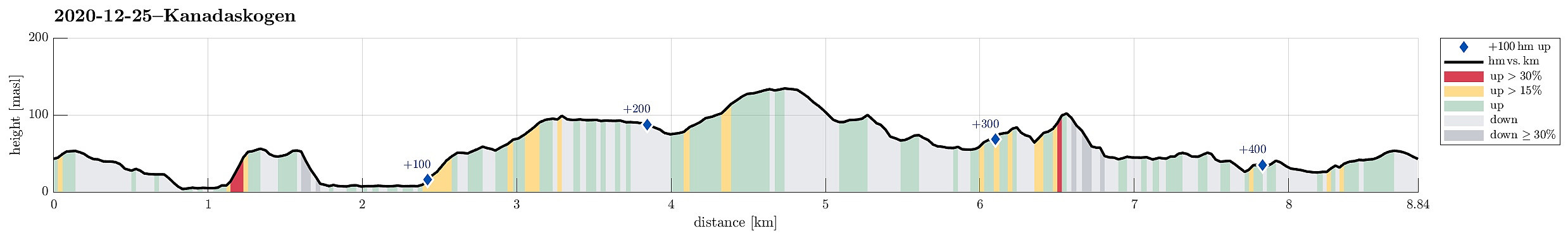
| Distance | 8.8km |
| Vertical meters | 444m |
| GPS |
|
| Ascents | Hesjaholten (106m) | 25.12.2020 |
|---|---|---|
| Visits of other PBEs | Tjørnahuk (91m) | 25.12.2020 |
| Øst for Elvareidet (60m) | 25.12.2020 |
Trip Summary
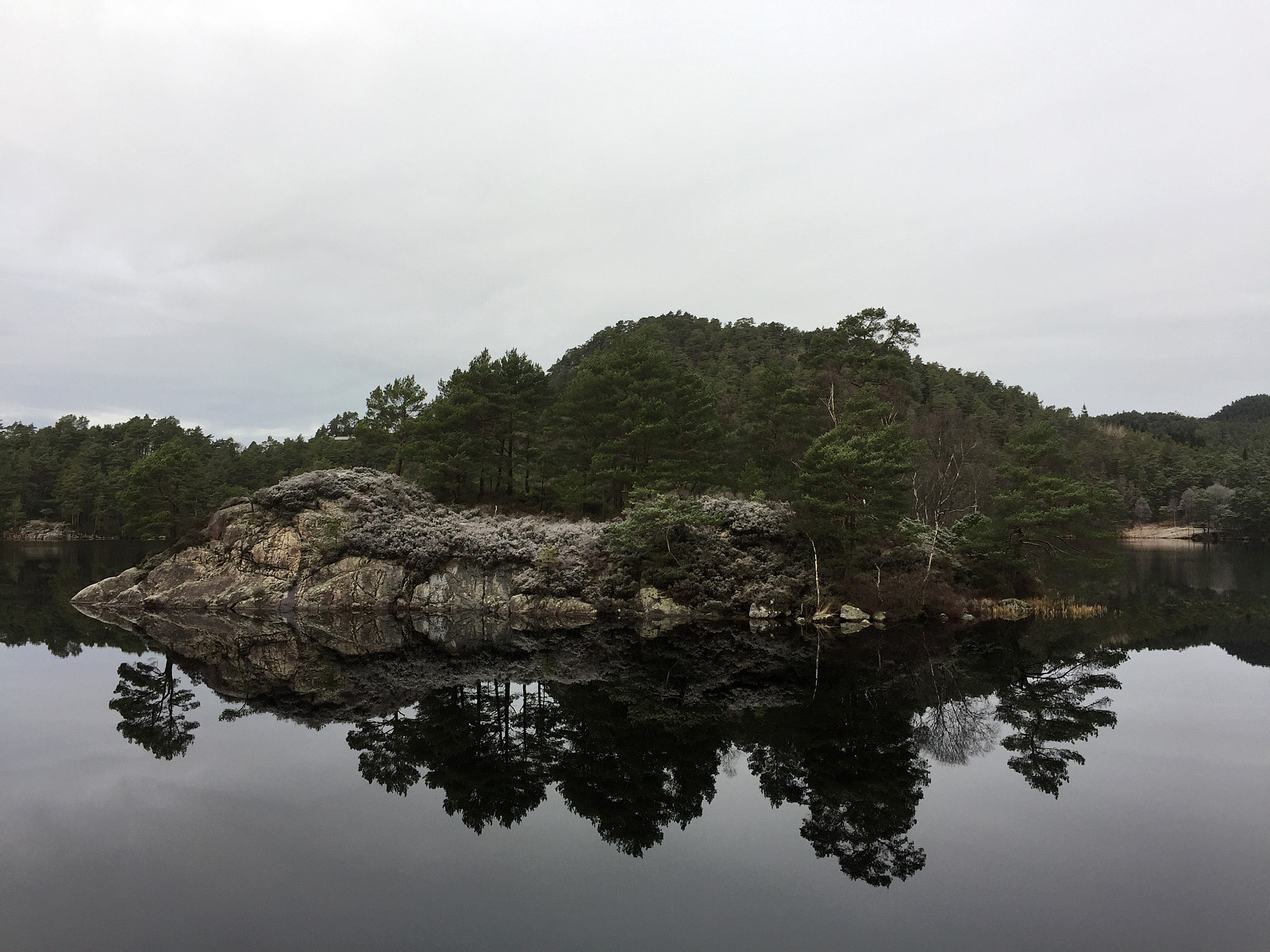
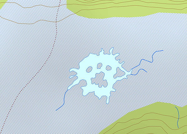
With a somewhat average weather forecast on tap, we decided to "just" do a simple walk/hike in Kanadaskogen. Starting from Varden, we first headed for the eastside of Gjeddevatnet, near the fotball fields and Framohallen. After rounding Gjerdsvika, we ascended a little (in northwards direction) in order to get over to (the eastside of) Bjørndalsvatnet, which we then walked along until its northern most end. Continuing in northwards direction, we then walked up to Svartatjørna. On the other, northern side of it, while walking along Storamyra then, we enjoyed to look up to Tobrik, high up over the east of Storamyra. Walking out this little valley, we ended up at the gravel road that leads up to the dam of Tennebekktjørna. About halv way up this road, we then decided to split our party with two of us choosing to talk the road back, while one was still keen on more hiking through Kanadaskogen. :-) This off-road variant lead then first up (in southwards direction) to a swampy area that hosts the little, three-eyed monster of Kanadaskogen (at least when inspected on Norgeskart). South of it, one then descends through a nice little valley (in southern direction), passing by some cliffs of Storhovden on the left (east). Instead of following the valley all the way down (to Bjørndalsvatnet), the continuation lead over some smaller heights, mostly in southern direction, passing between Krokatjørna (in the east) and Bjørndalsvatnet (in the west). From a little top, just north of Hesjaholten and west of Litla Krokatjørna, one actually has a very nice view over Bjørndalsvatnet! Before then starting the actual return to Varden, the little top of Hesjaholten was included, also -- just for fun! :-) Eventually, instead of walking out the minor roads to Varden, a little detour just south of the houses at Veslefrikkveien was included, requiring a tiny little bit of climbing to traverse some minor cliffs there, in fact. All in all, it was good to get out and breath some fresh air, even though the weather was not most spectacular! :-)
Photos
Selected photos are available as Google photo album.
Useful Resources
See also the related FB-page Hiking around Bergen, Norway.


User comments