
To Mount Klovetinden and Mount Middagshornet (26.09.2020)


Written by Solan (Atle Solholm)

| Start point | Barstadsetra (190m) |
|---|---|
| Endpoint | Barstadsetra (190m) |
| Characteristic | Hike |
| Duration | 5h 17min |
| Distance | 13.1km |
| Vertical meters | 1,449m |
| GPS |
|
| Ascents | Klovetinden (949m) | 26.09.2020 |
|---|---|---|
| Middagshornet (1,090m) | 26.09.2020 | |
| Visits of other PBEs | Barstadsætra parkering (190m) | 26.09.2020 13:21 |
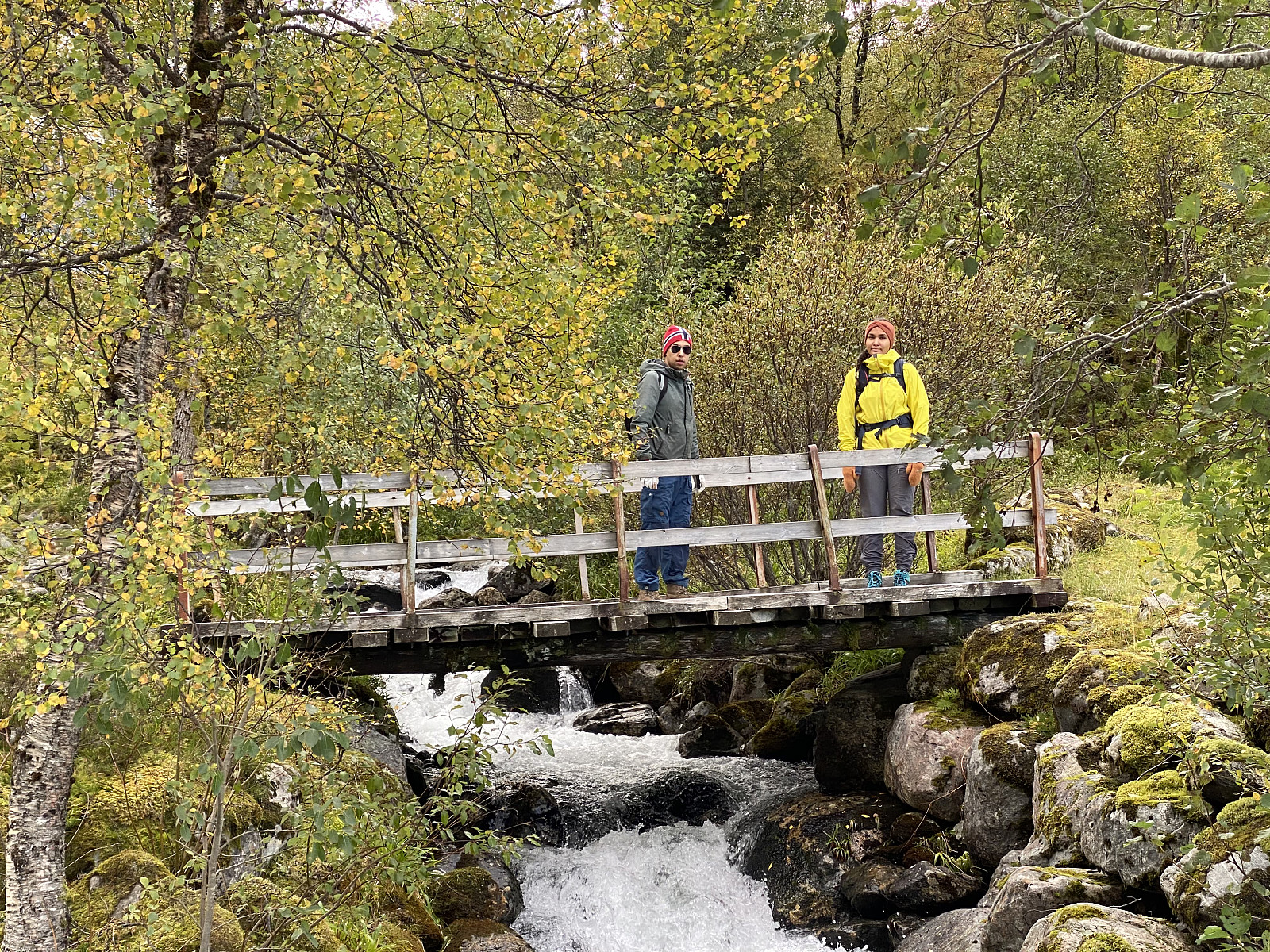
On this particular day, I went mountain hiking with my oldest son and my youngest daughter. We discussed in advance where to go, and then my daughter came up with the suggestion of Mount Klovetinden [945 m.a.m.s.l.] in Ørsta Municipality, and the rest of us had no objection to it. We went with my daughter’s car to the ferry quay at Solevågseidet, crossed the fjord by the ferry; and then continued by car to the bay called Barstadvika, and then up to a cabin area called Barstadsætra, located about 190 m.a.m.s.l. (see map). We parked the car at the parking lot by the river, and then started hiking up the mountain along a nice, well marked, and readily visible trail. My daughter had been hiking in this area before, and new very well which trail we ought to choose.
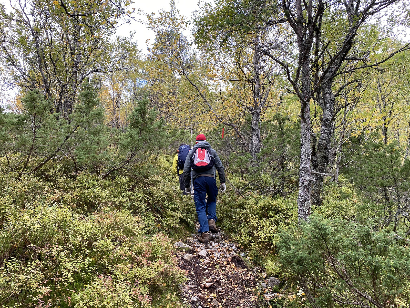
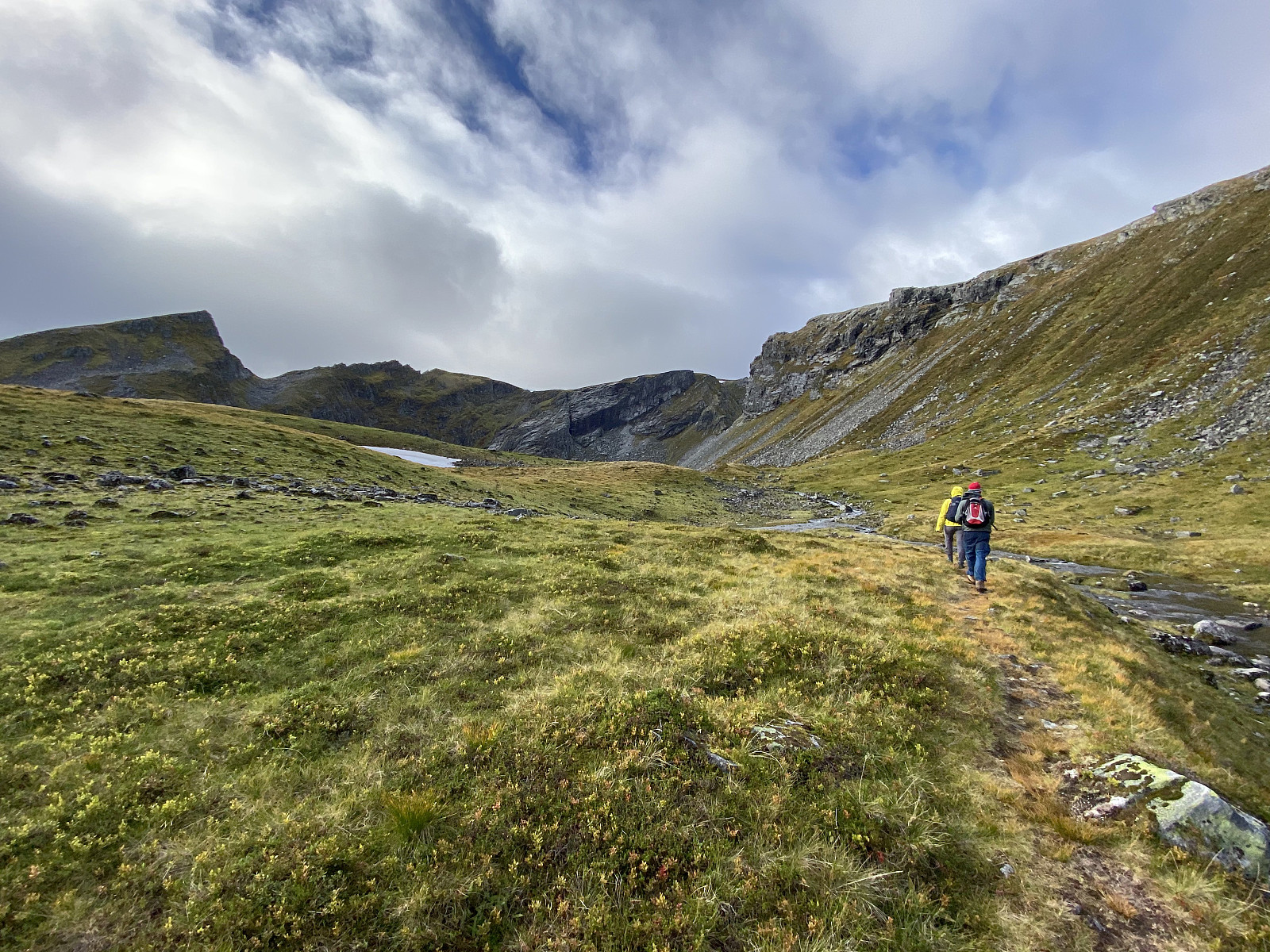
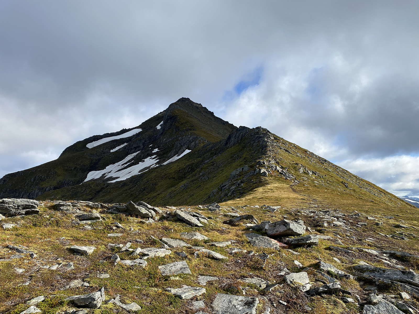
The first part of the trail went through birch forest, and where the forest abated, the trail continued in between stones, grass, moss and lichen. We soon came up to a lake and some ponds at about 600 m.a.m.s.l. or so; and there the trail turned right, up the mountain side of Mount Klovekinn. The climb up this mountain side offered a spectacular view towards several mountains, among them Mount Middagshornet [1090 m.a.m.s.l.]; though the mountain tops of the highest mountains in the area were shrouded in clouds on this day (Image #6). Mount Klovekinn is actually quite a large mountain massif, and Mount Klovetinden might be said to be the name of the highest summit of this mountain (see map). The name Klovekinn may, however, also refer to a peak of 921 m.a.m.s.l. northeast of Mount Klovetinden (again, have a look at the map to get an idea). We soon reached the broad mountain ridge that connects the Mount Klovetinden to the peak called Klovekinn (Image #7), and from there we continued up to the summit of the mountain.
![Image #4: View towards Mount Grøthornet [916 m.a.m.s.l.], Mount Storhylla [960 m.a.m.s.l.] and Lake Klovvatnet [688 m.a.m.s.l.] as we were climbing up the mountain side of Mount Kovetinden [948 m.a.m.s.l.].](https://images1.peakbook.org/images/14939/Solan_20210110_5ffb43dd267d1.jpg?p=xtralarge)
![Image #5: View from Mount Klovetinden towards Mount Middagshornet [1090 m.a.m.s.l.], which we hadn't actually planned to climb this day; but we decided to do so while we were descending from Mount Klovetinden later on, this day.](https://images1.peakbook.org/images/14939/Solan_20210110_5ffb7a1e10689.jpg?p=xtralarge)
Mount Klovetinden and Mount Klovekinn may actually be regarded as part of a much, larger mountain massif, which even includes Mount Storhylla [957 m.a.m.s.l.] and the peak/summit called Masdalshornet [977 m.a.m.s.l.]. The latter has been named after the Masdal Valley just beneath, whereas the former has been so named due to its broad appearance; as the meaning of the Norwegian name Storhylla is simply "The Broad Shelf". The mountain massif is divided into a southwestern and a northeastern part by a huge V-shaped cleft, almost 170 meters deep (Image #13). And so, Mount Masdalshornet, along with Mount Storhylla, is like a plateau on the southwest side of the cleft; whereas on the northeast side of the cleft Mount Klovekinn forms another plateau, with Mount Klovetinden protruding as a peak pointing towards the higher plateau on the other side of the cleft (Image #12).
![Image #6: View from Mount Klovetinden / Klovekinn towards the majestic mountain called Mount Åvasstinden [1233 m.a.m.s.l.]. Unfortunately, it was shrouded in clouds this day.](https://images1.peakbook.org/images/14939/Solan_20210110_5ffb7b7d5ab34.jpg?p=xtralarge)
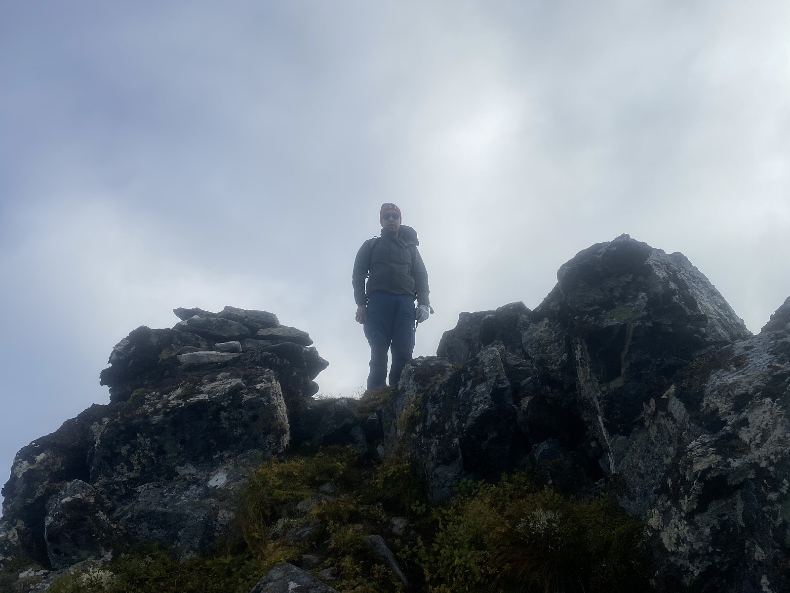
![Image #7: Approaching the summit of Mount Klovetinden. The name of the mountain has the same origin as the English word "cleft", and it has been so named because it's adjacent to a huge cleft that separates it from Mount Masdalshornet [977 m.a.m.s.l.].](https://images1.peakbook.org/images/14939/Solan_20210110_5ffb7c4108ed7.jpg?p=xtralarge)
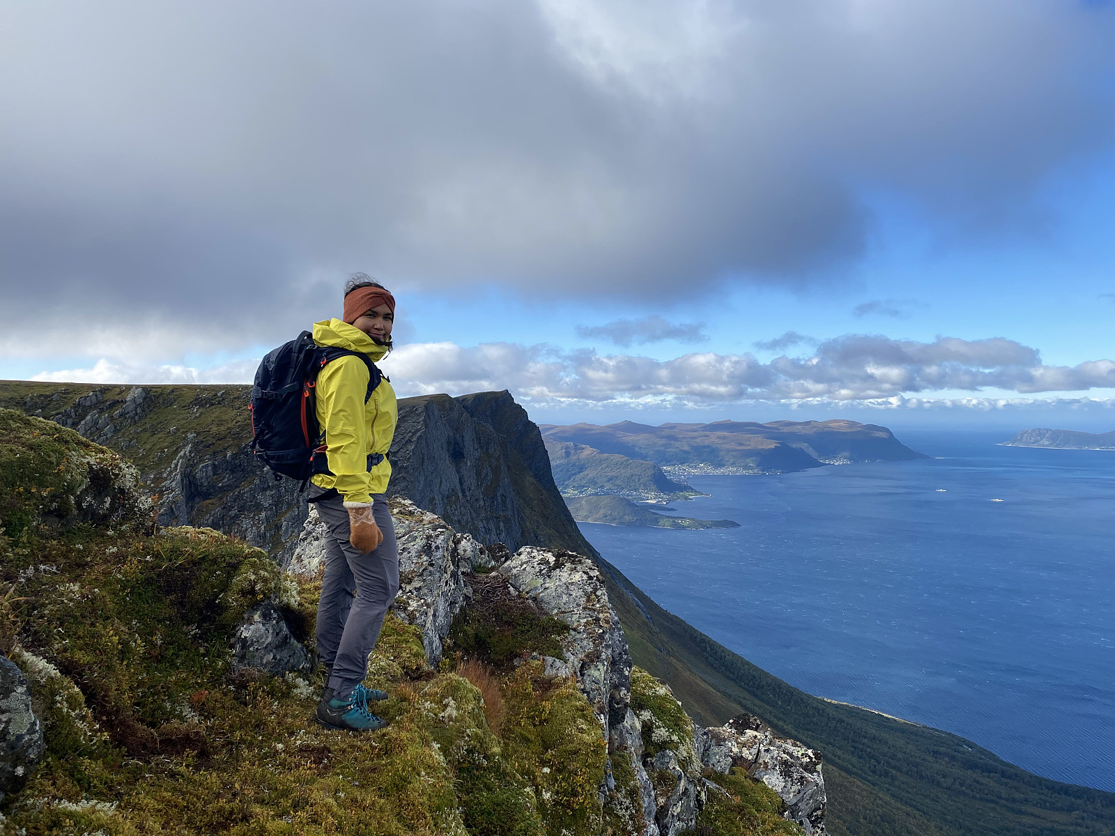
Mount Klovetinden, or Mount Masdalskloven, as it is also called; offers a spectacular view over Masdalen Valley, as well as over the nearby fjords, and the island called Hareidlandet. We shot a few images up there (Images ## 8 and 9), and then we embarked upon our descent. As we were descending the mountain side of Mount Klovekinn, I felt that I hadn't really exhausted myself on this short hike; and so I suggested to my son and my daughter that we could climb up Mount Middagshornet as well. My daughter had previously been there with her grandmother [i.e. my mom], and new the way up there very well; and they both agreed that we could do that climb as well before we go back down to the car.
Now, there's a moorland between Mount Klovetinden and Mount Middagsfjellet; with heather, small mires, and numerous small creeks that eventually coalesce into a little river. At this time of the year, the landscape wasn't that wet, however, so we crossed over the moorland as soon as we got down from Mount Klovekinn; instead of going almost all the way down to the parking lot, in order to find the regular trail up to Mount Middagshornet. We reached the river at the other side of the moorland, and found a suitable place to cross it. In spring time, when snow is melting everywhere, there would probably have been too much water in the river for us to cross it at this spot, but by now it was quite feasible.

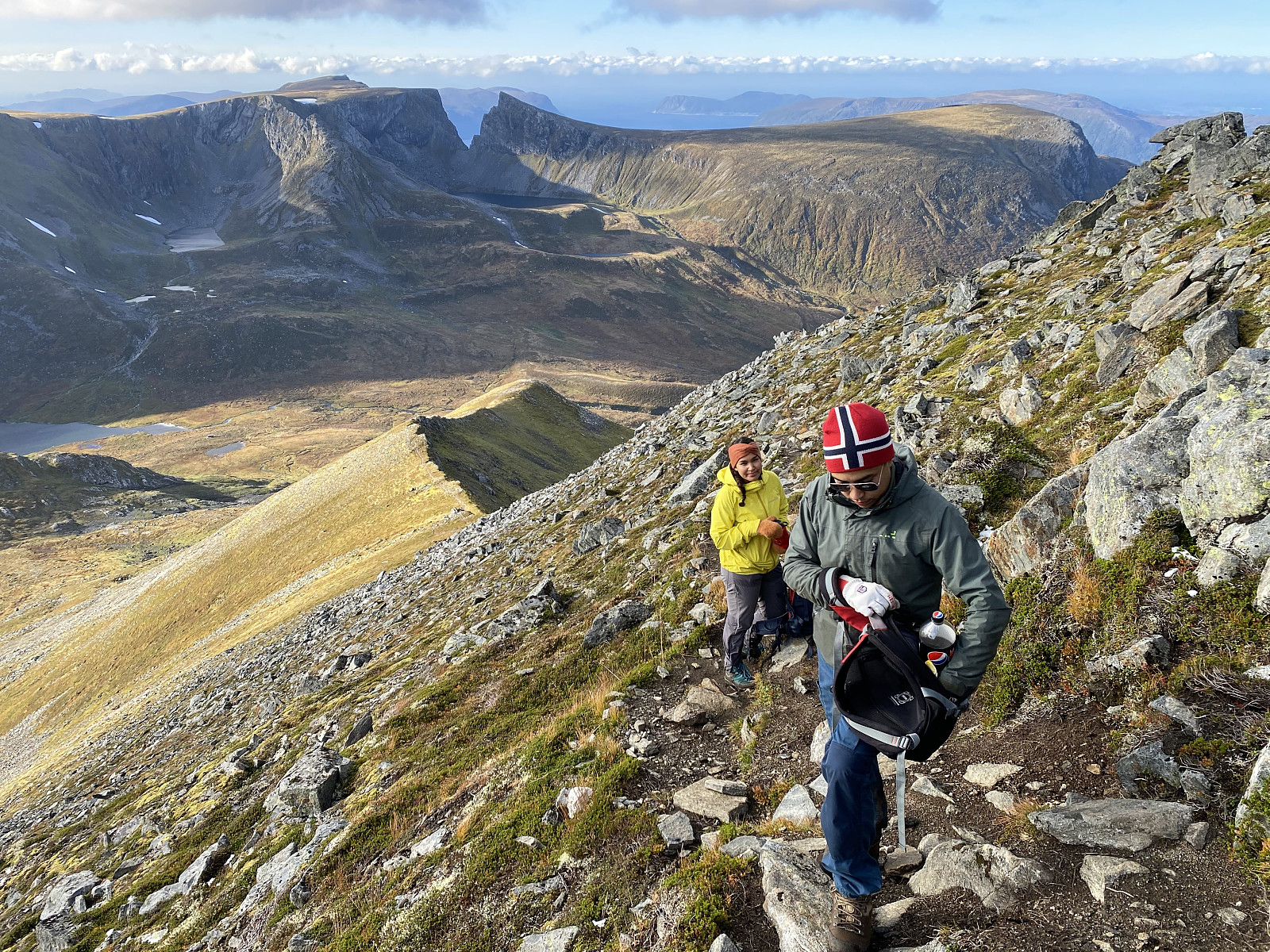
On the other side of the river, we found the trail up to Mount Middagshornet. The trail went past 3 ponds (see map), and then took us up to a mountain ridge that goes all the way up to the summit of Mount Middagshornet. The ridge first goes in a southwest direction, but at about 800 m.a.m.s.l. there's a nice viewpoint, and at that viewpoint the ridge turns left, and from there it takes a southeast direction all the way up to the summit. The viewpoint mentioned offers a very nice view to Mount Klovetinden as well as to all the surrounding valleys. Mount Middagshornet is located directly south of the village of Barstadvika. The Norwegian word middag means mid-day [i.e. noon], and I believe the mountain got its name because people in Barstadvika back in the old days used the mountain to know when it was noon; i.e. when the sun was right above this mountain, it was time to eat dinner.
![Image #13: A closer view of the huge cleft separating Mount Klovetinden from Mount Storhylla and Mount Masdalhornet. The lake in front of the cleft is Lake Klovvatnet [688 m.a.m.s.l.].](https://images1.peakbook.org/images/14939/Solan_20210110_5ffb83211a499.jpg?p=xtralarge)
The trail up along the ridge was nice, readily visible; and nowhere difficult to follow. As we approached the summit we met a couple that had climbed the mountain from another side, and had decided to descend along our route. We continued up to the summit. It was blowing a bit up there, so we didn't remain long in the summit area; we just shot some photos, put some more clothes on, and then embarked upon our descent. We still had some food in our backpacks, but due to the wind we didn't eat it on top of the mountain, but rather stopped to eat after descending 100 elevation meters or so, at a spot where the ridge that we were following offered some shelter from the wind. Following the trail back down to the parking lot and my daughter's car was without any special events, as the trail is nice, and rather straight forward.
![Image #14: On top of Mount Middagshornet [1090 m.a.m.s.l]. Mount Svinetinden [1132 m.a.m.s.l.] is seen in the background.](https://images1.peakbook.org/images/14939/Solan_20210110_5ffb842353bb1.jpg?p=xtralarge)
![Image #15: View from Mount Middagshornet [1090 m.a.m.s.l.] towards the beautiful valley of Molladalen with Lake Storevatnet [773 m.a.m.s.l.]. The mountains flanking the other side of the valley are shrouded in clouds, but include Jønshornet [1419 m.a.m.s.l.], Rander's Peak [1414 m.a.m.s.l.], and Mohn's Peak [1353 m.a.m.s.l.].](https://images1.peakbook.org/images/14939/Solan_20210110_5ffb848df18aa.jpg?p=xtralarge)


User comments