
Micro"tops" in Fyllingsdalen (01.02.2020)

Written by HHauser (Helwig Hauser)

| Start point | Varden (45m) |
|---|---|
| Endpoint | Varden (45m) |
| Characteristic | Hillwalk |
| Duration | 1h 30min |
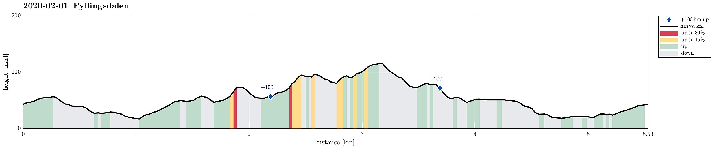
| Distance | 5.5km |
| Vertical meters | 246m |
| GPS |
|
| Ascents | Varden (62m) | 01.02.2020 |
|---|
Trip Summary
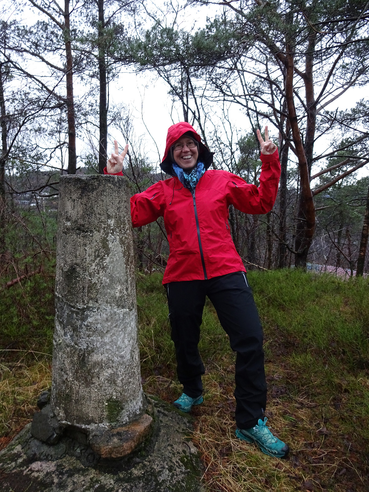
Despite the wet weather, we still wished to get some fresh air. Instead of anything "more major", we simply started with visiting the highest point of Varden! :-) Inspired by having reached an insignificant "top", we decided to continue along a similar idea. Looking over across Sælen, we identified an unnamed "top" near Myrholtet and soon later we had arrived there (being very surprised about our trip goals!). Having had not enough of these understatement of "hiking", we headed further northwards and "up" to some minor heights in the west of Spelhaugen. There, we eventually came close to Langaheia, but decided to cut it short, after all. From there, it was then basically back home (with a short visit to the shop in-between). Clearly, there are days for a hike, and then there are days for a "hike". :-)
Useful Resources
See also the related FB-page Hiking around Bergen, Norway.


User comments