
Permisjonsstien and more (25.12.2019)

Written by HHauser (Helwig Hauser)

| Start point | Sandviken (5m) |
|---|---|
| Endpoint | Åsaneveien (60m) |
| Characteristic | Hillwalk |
| Duration | 3h 00min |
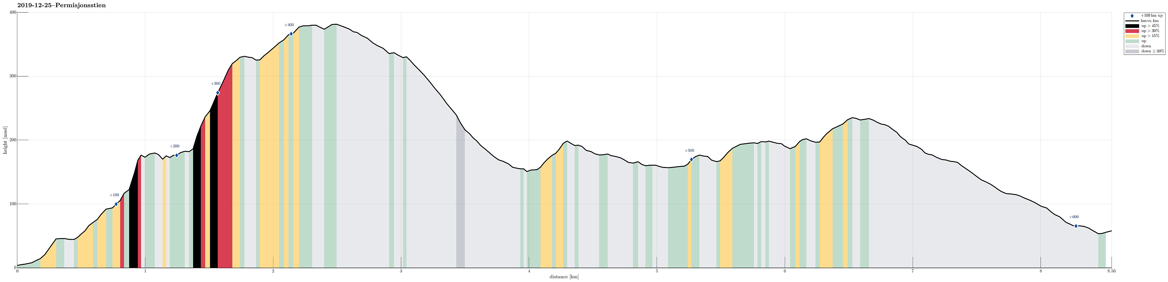
| Distance | 8.6km |
| Vertical meters | 607m |
| GPS |
|
| Ascents | Håmanen (203m) | 25.12.2019 |
|---|---|---|
| Rognåsen (203m) | 25.12.2019 | |
| Ørneberget (238m) | 25.12.2019 | |
| Visits of other PBEs | Stativ til bergkanon (328m) | 25.12.2019 |
| Grindarasten (375m) | 25.12.2019 | |
| Permisjonsstien (50m) | 25.12.2019 | |
| Sandviksbatteriet (182m) | 25.12.2019 | |
| Sandviksfløyen søyle (379m) | 25.12.2019 | |
| Sandvikspilen (378m) | 25.12.2019 | |
| Vannverkshus i Skiveien (244m) | 25.12.2019 |
Trip Summary
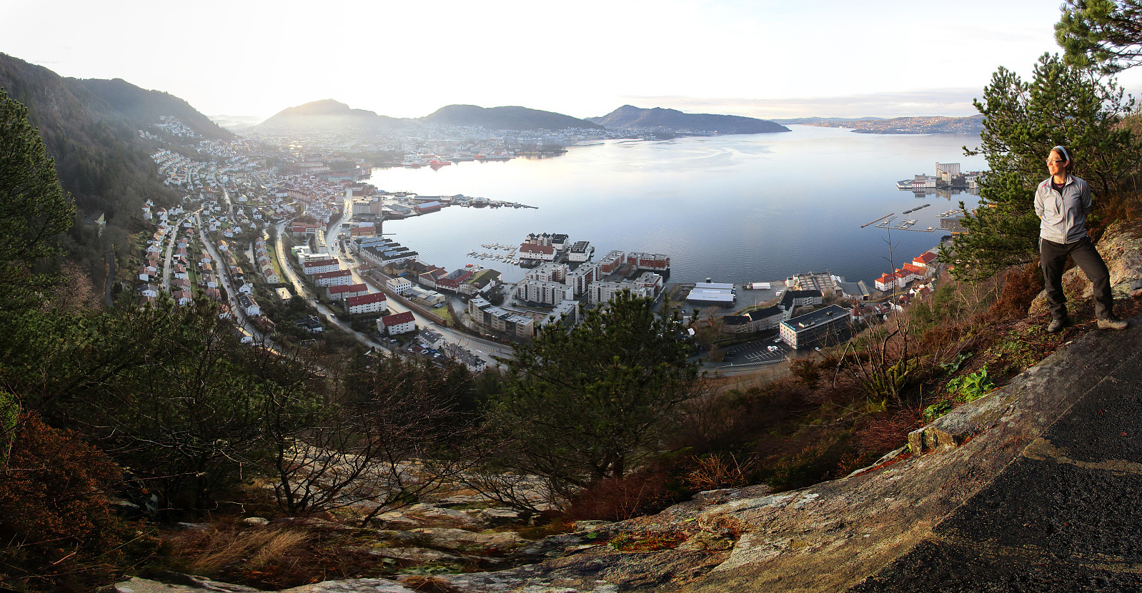
We wished to try the newly upgraded Permisjonsstien, which leads from Sandviken up to Sandviksbatteriet. Accordingly, we took a bus to Sandviken and first stepped up to Fjellveien. More or less exactly, where one passes by the last house (on the left), when walking Fjellveien northwards, Permisjonsstien starts towards Sandviksbatteriet. While the lower stretches of this trail are more muddy than necessary, the upper parts, in particular where the trail gets really steep, have been upgraded recently (during 2019) and well-placed stone steps lead up to Sandviksbatteriet. At about 175mosl, we arrived at Sandviksbatteriet, enjoying some terrific views over Byfjorden and Bergen. Once done with this, we wondered whether to continue directly to Munkebotn, or in-between include a quick ascent to Sandviksfløyen. Quickly, we arrived at the latter and started to look, where we could get up to the ridge that leads (in southeastern direction) towards Sandviksfløyen. Going a bit back and forth, we identified a minimalistic opportunity to get up to the ridge (more or less direttissima) right behind this round structure that stands close to the point where the steps of Permisjonsstien come up. Even though through very steep terrain, it was quite OK to step up there and reach the ridge that lead us then further up to Sandviksfløyen. When crossing over Sandviksfløyen, we enjoyed some very nice views over Byfjorden and Bergen. Near Sandvikspilen we connected to the upper end of Stoltzekleiven. From there, we walked over to Storevatnet and from there down the gravel road in northern direction. At about 330mosl, where waters from Storevatnet are hold back by another dam again, we crossed over the western side of the valley (the gravel road continues on the eastern side). At about 240mosl, where the road gets back over to the western side of the valley, we crossed it, continuing downwards on a trail, instead. When approaching Munkebotsvatnet, or what was left of it, after most of its water have been drained in order to work on repairing the dam on its northern side, we crossed over the dam on the western side, just to cross over the road that comes up from Munkebotn and head towards Håmanen in the west of Munkebotsvatnet (and north of Sandviksbatteriet). A few minutes later, we enjoyed some remarkable views from Håmanen, before continuing further northwards across Sølvberget. After crossing Våkenskaret, we searched a bit before continuing further northwards on the western side of Garpetjernet. Crossing over another trail, we continued over a sequence of hills into the direction of Rognåsen. From there, we continued towards Ørneberget, enjoying some nice views from there. Eventually, we descended towards Hellemyrstien. From there, we quickly got down to Øyjordsveien. Walking all the way down to Åsaneveien, we got to another bus stop, taking a bus home from there.
Photos
Selected photos are available as Google photo album.
Useful Resources
See also the related FB-page Hiking around Bergen, Norway.


User comments