
Bergsfjellet (17.10.2019)

Written by hbar (Harald Barsnes)

| Start point | Dorganeset (33m) |
|---|---|
| Endpoint | Kvåle (8m) |
| Characteristic | Hillwalk |
| Duration | 3h 12min |
| Distance | 11.2km |
| Vertical meters | 712m |
| GPS |
|
| Ascents | Bergsfjellet (521m) | 17.10.2019 |
|---|
Bergsfjellet
Yet another meeting ending at Solstrand, meant, as usual, yet another hike in Fusa. Today's goal being Bergsfjellet, including an attempt at making the hike into something close to a roundtrip by following this hike suggestion by Fusa kommune: https://ut.no/turforslag/1110763/bergsfjellet, albeit in the reverse order.
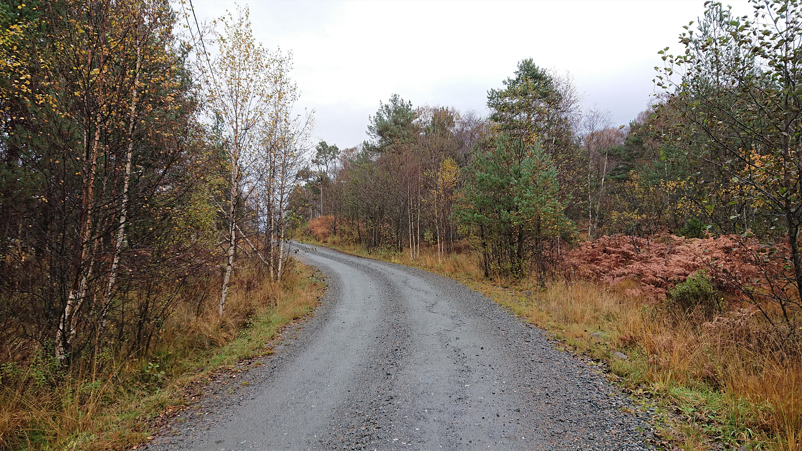
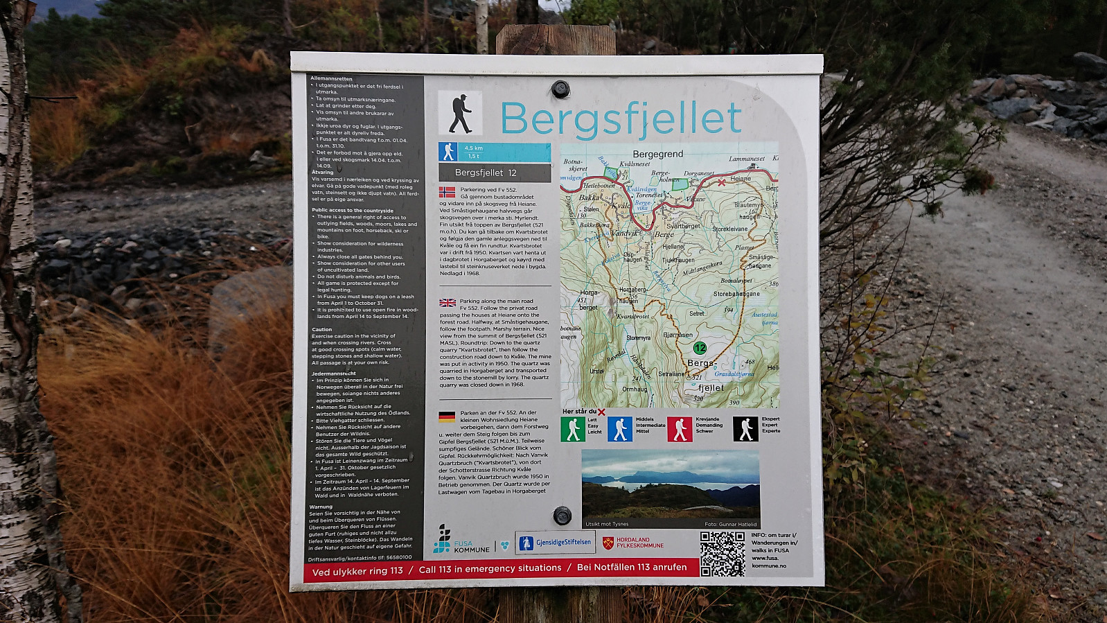
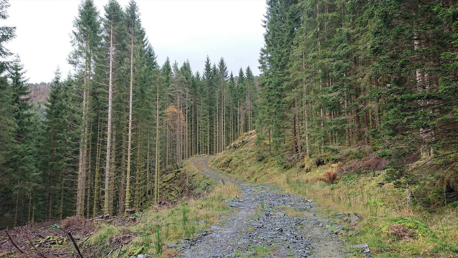
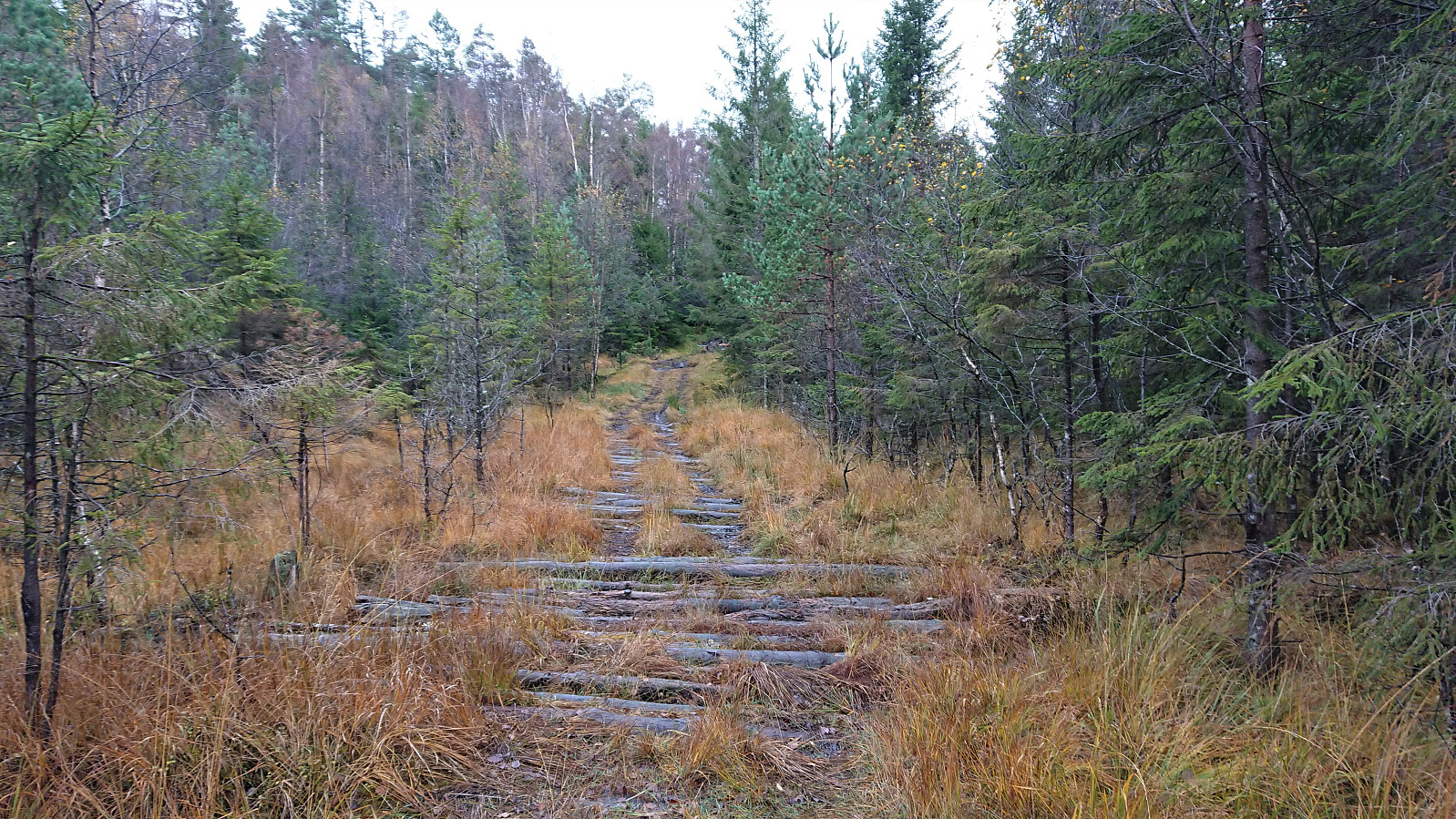
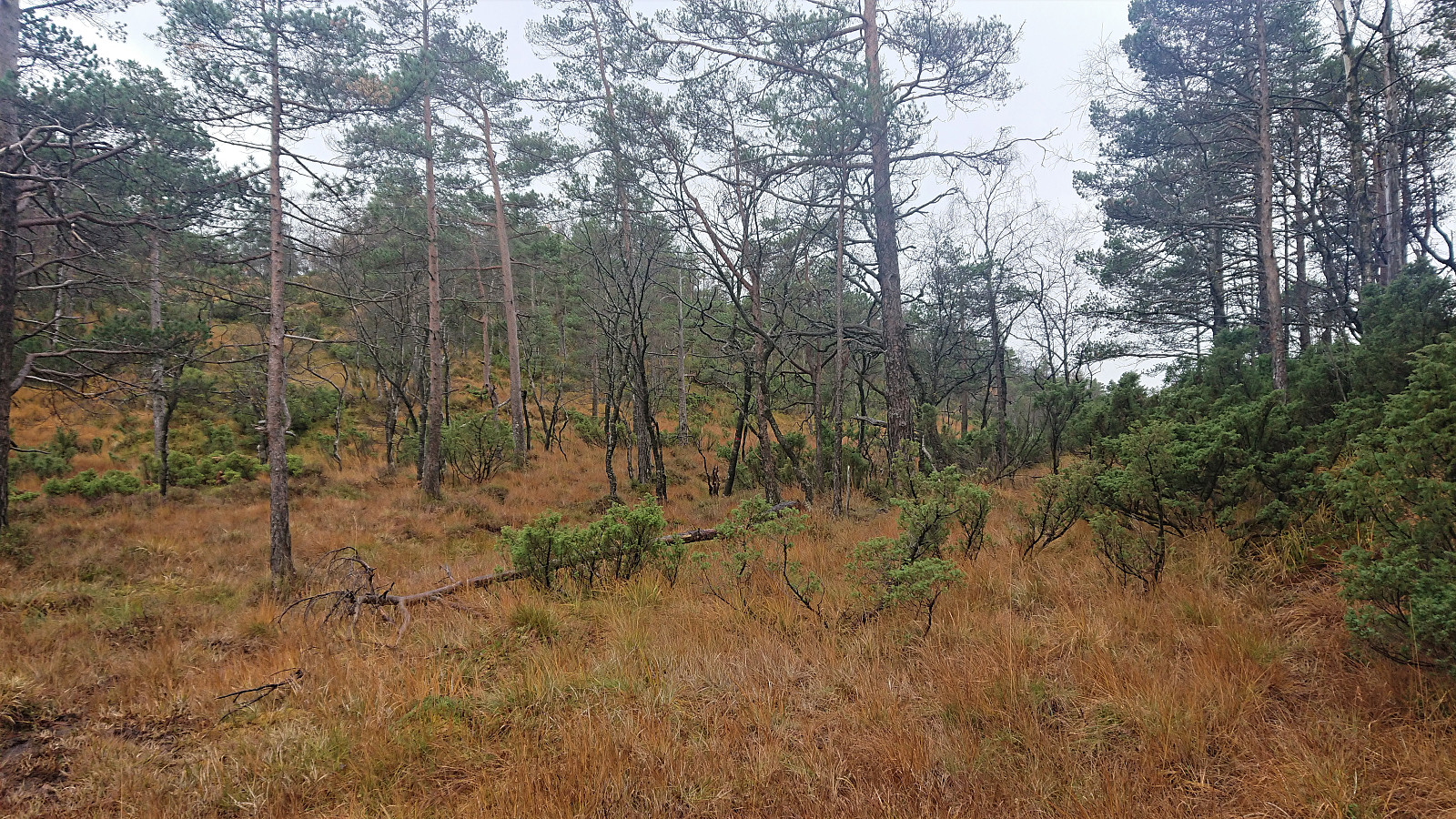
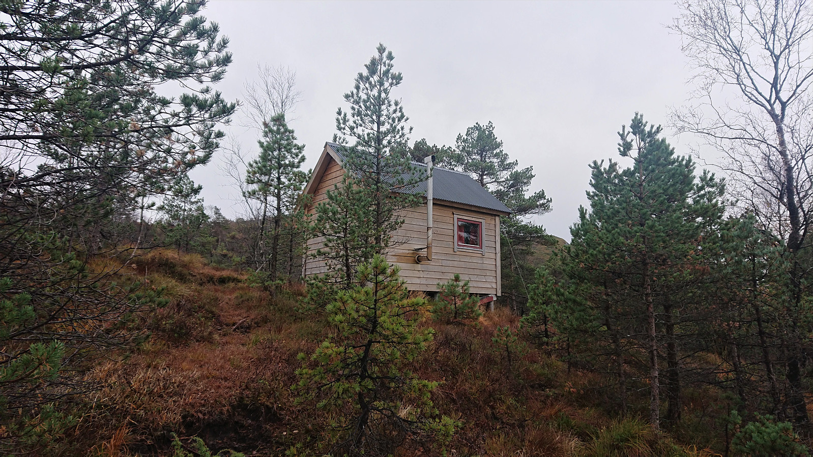
I started by taking the bus (and ferry) to the bus stop “Dorganeset”, and from there followed the gravel road along Lammanesheiane, quickly coming across a sign with information about the same roundtrip hike (but with one important detail that I will come back to later). The gravel road later turned into a tractor road, getting rougher the higher up I got. After around 3 km (at about 300 meters above sea level) the tractor road (or rather the tractor tracks, as there was little to no actual road left at this point) split. The road had forked before, but the direction was usually obvious.
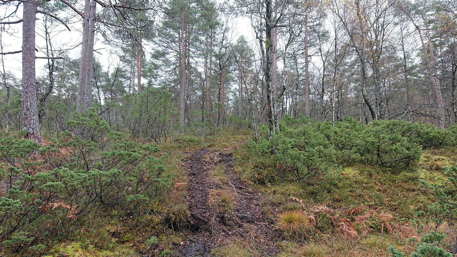
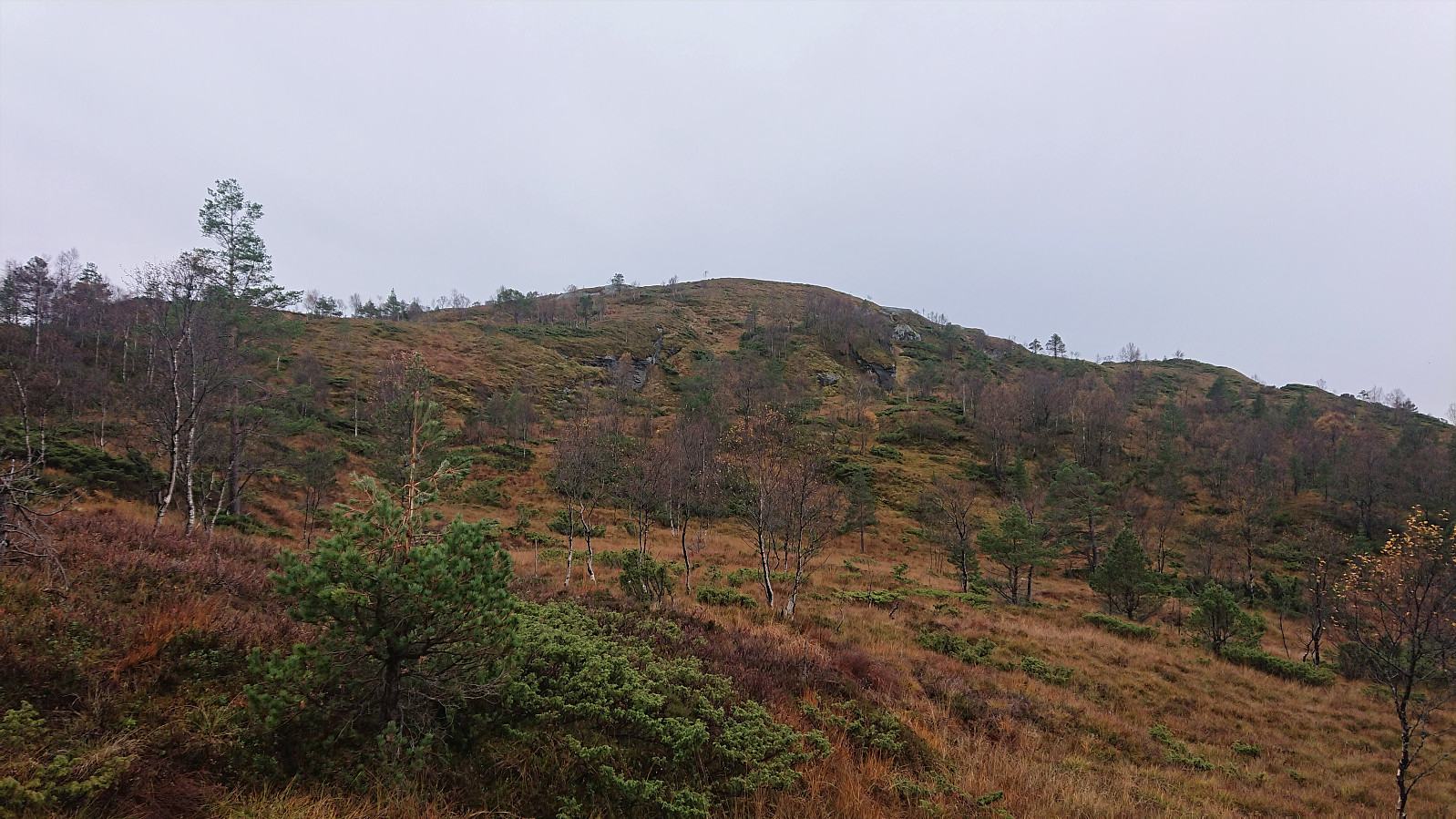
But just as I reached for the GPS, I noticed two small red parallel horizontal lines on one of the trees for the option heading right, and shortly the first sign for Bergsfjellet appeared. From here on the trail, or rather the direction (as the trail was pretty much invisible), would be marked all the way to the summit. It was not always easy to locate the next marker though, and I missed the trail when almost at the summit, but by then the markers were not really needed.
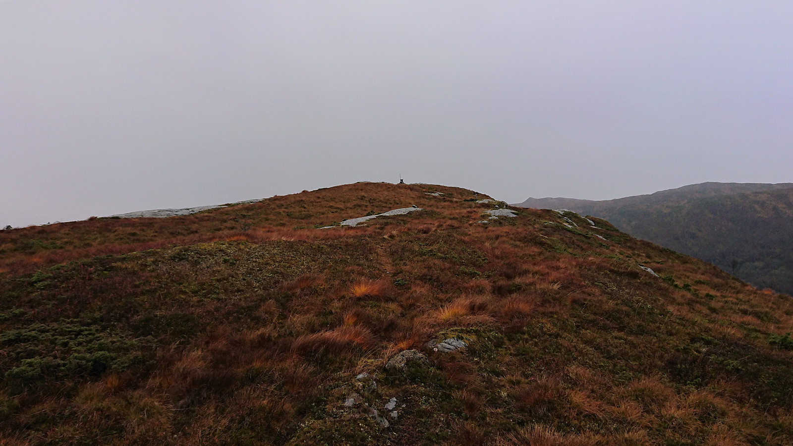
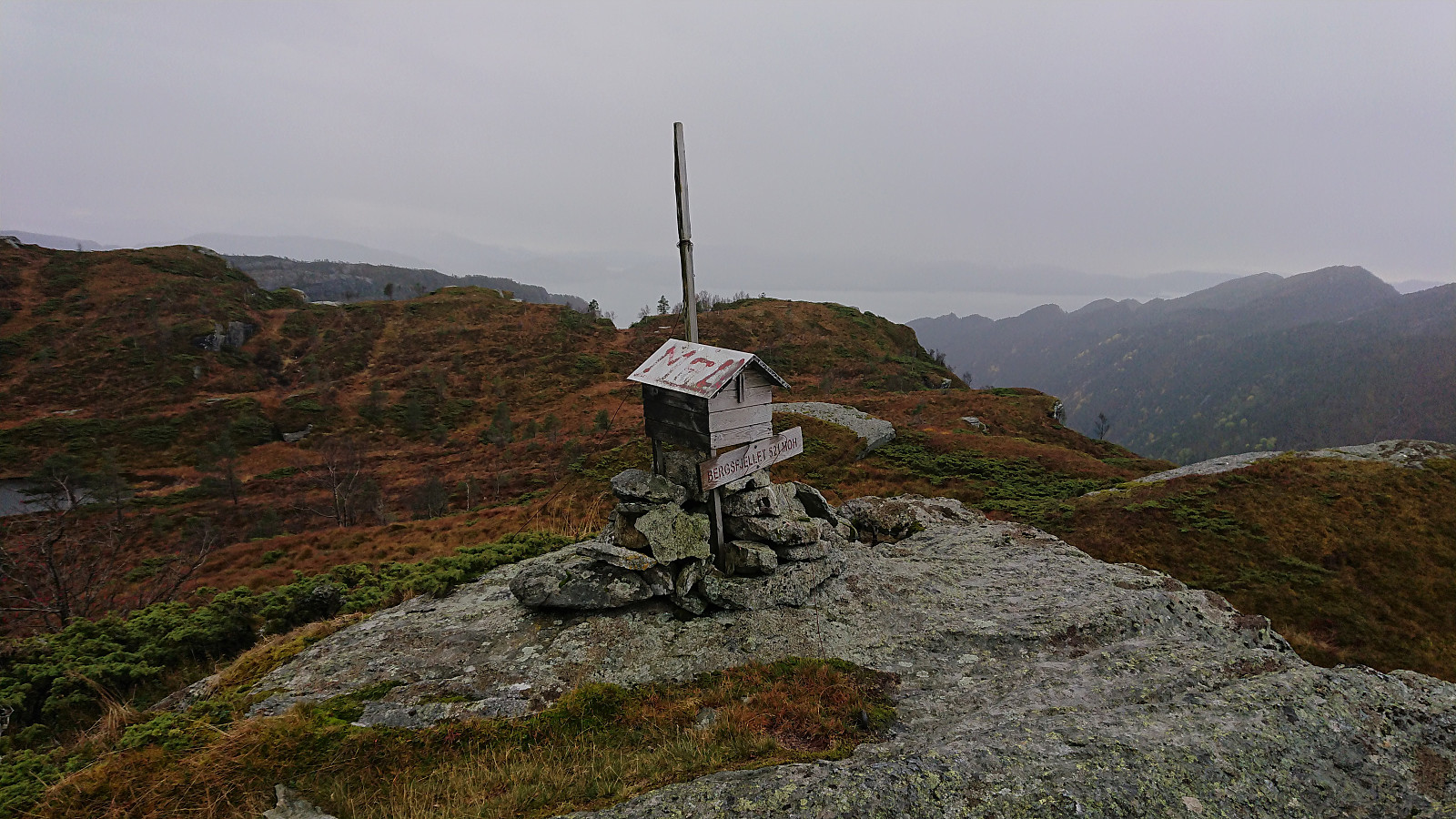
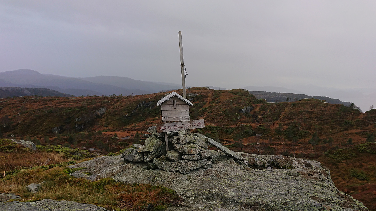
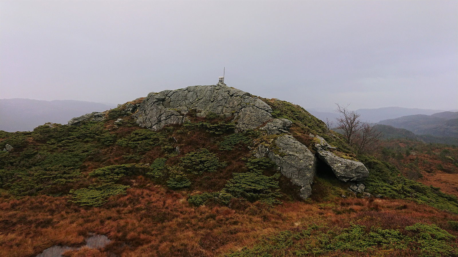
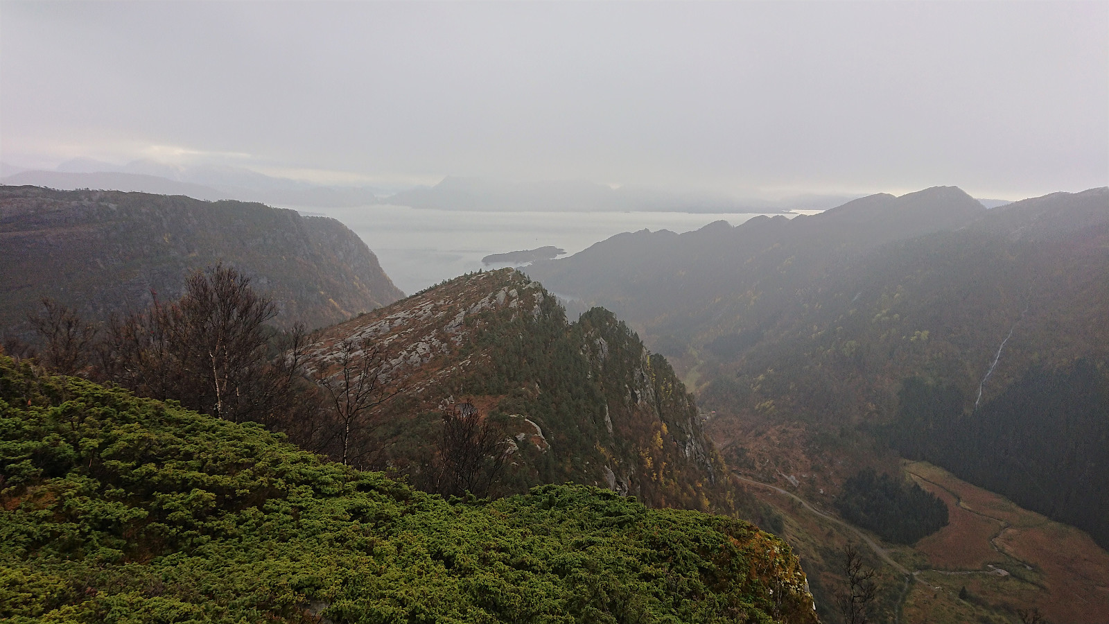
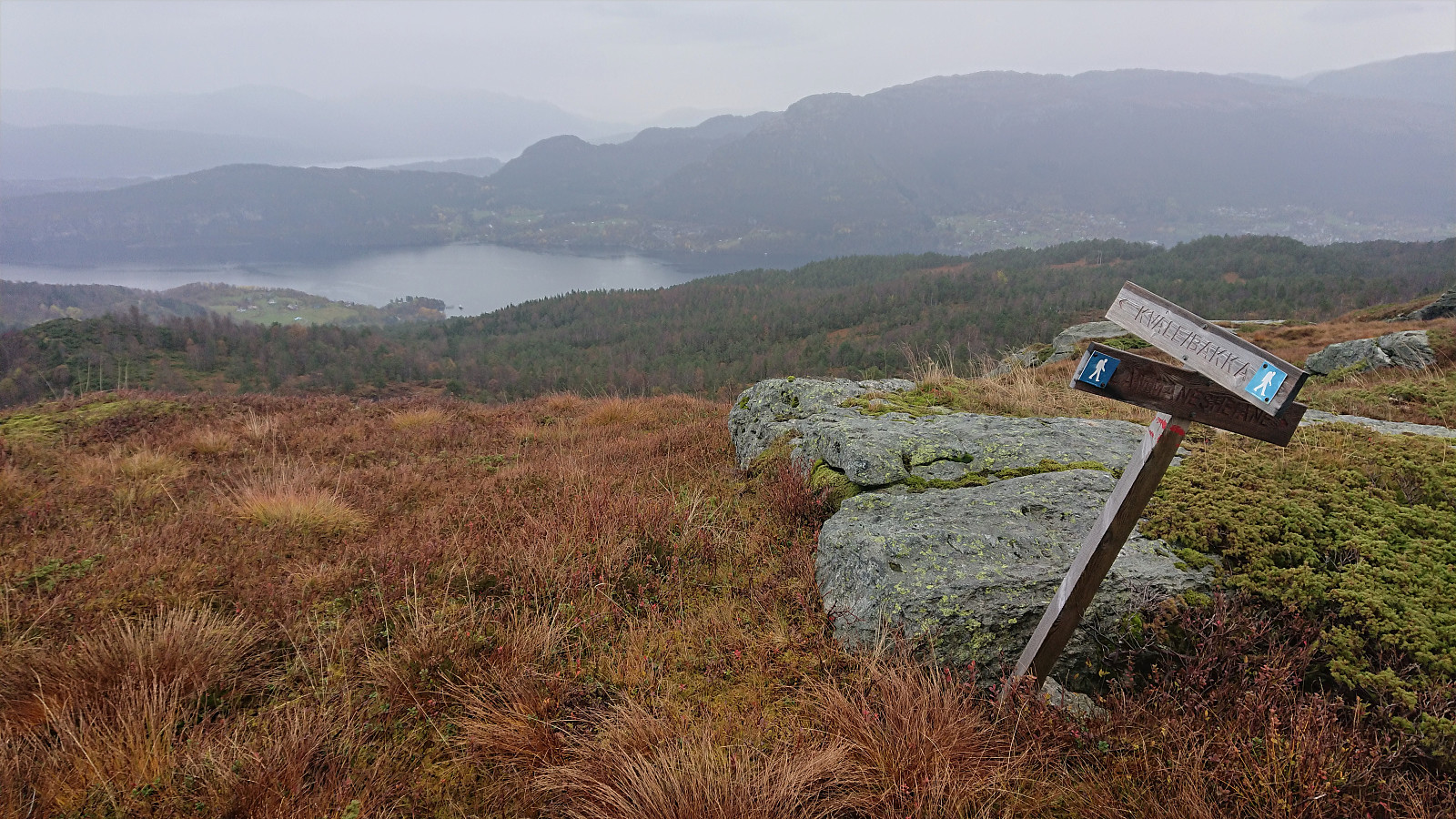
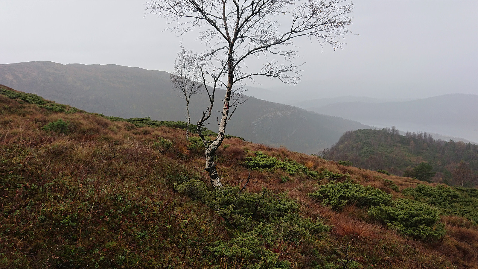
The views from the summit were rather limited due to the low-hanging clouds, but are probably quite good on days with better weather. It is clearly not a frequently visited peak though, indicated by me being the first visitor in more than a month according to the visitor register. I still had almost two hours until the bus. I therefore made a quick detour to the slightly lower area south of the summit, providing better views towards the south and very nice views into Håvikdalen.
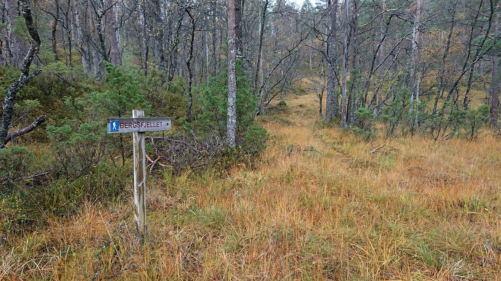
I returned north to a sign for Kvåle just south of the summit, assuming this marked the trail indicated in the suggested roundtrip. Of the trail there was little to no traces though, and while some trees were marked with red paint, I was not sure if I was on the right track or not. At this point the rain also made it more difficult to confer with the GPS.
Thankfully, the red markers later appeared more frequently, but the trail was still very weak, if at all visible. When the markers also disappeared, I finally checked the GPS, and saw that I was more than 300 meters beyond where the trail from ut.no was supposed to have taken me into Håvikdalen. Hoping that the recommended trail would be of better quality, I turned back to try to figure out where I missed the trail. On my way back up, I came across one of the deer bucks that had been filling the air with loud long grunts for the last half an hour, but sadly it ran away before I managed to take a picture.
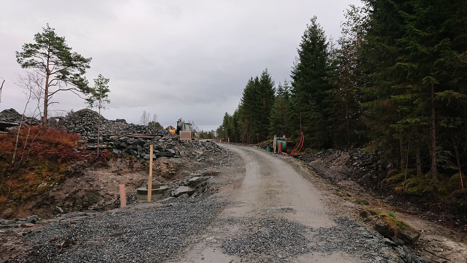
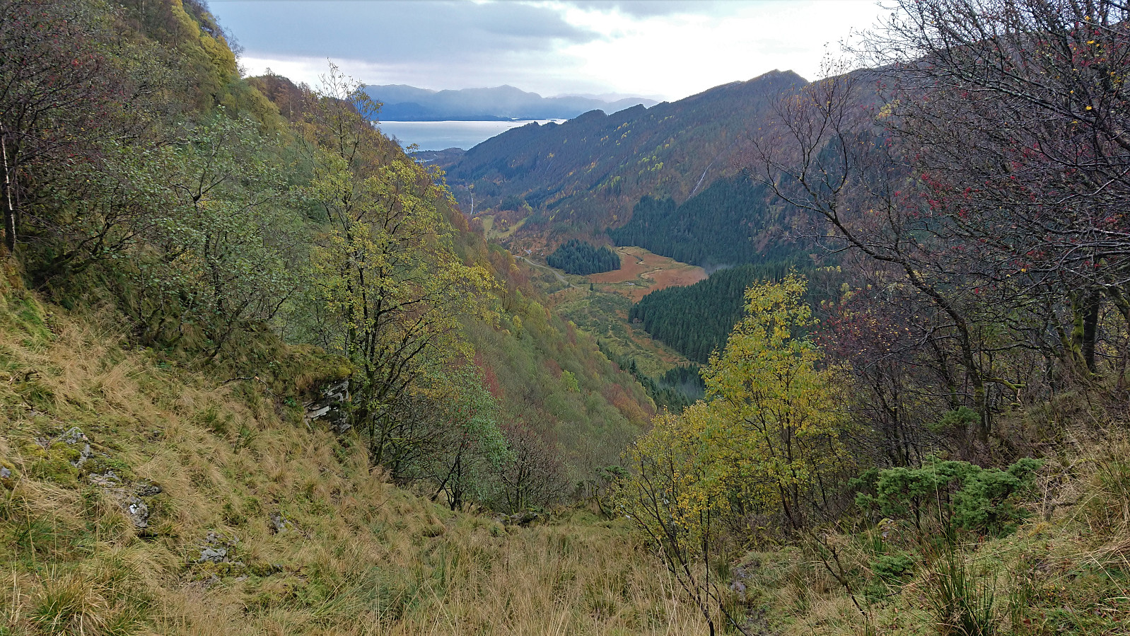
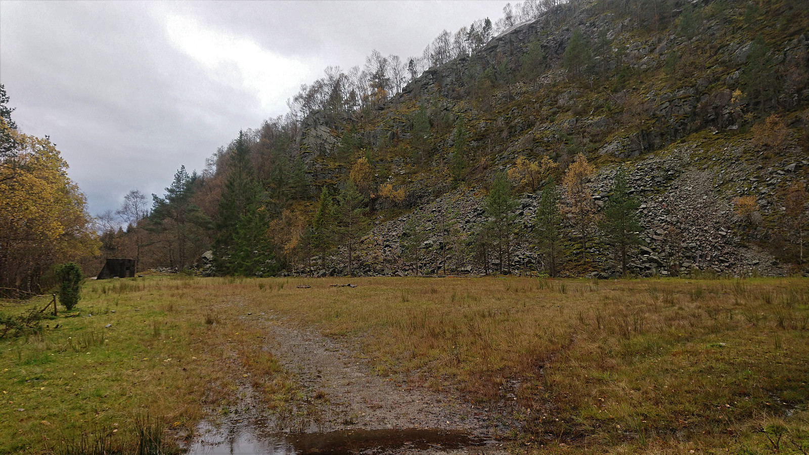
In the end I did not find any trail markers, but on the hope that these would turn up later, I started the steep decent into Håvikdalen. Slippery and wet, but luckily with lots of trees to hold on to, but also lots of small bushes to fight my way through. Given that I was now moving away from the main road, and having wasted lots of time retracing my steps, I now had less than an hour before the bus back to Bergen. I was therefore very happy when finally making it far enough down into the valley to be able to turn north. Here progress was also easier, even perhaps traces of a weak trail, and I aimed for the road ending at the old stone quarry.
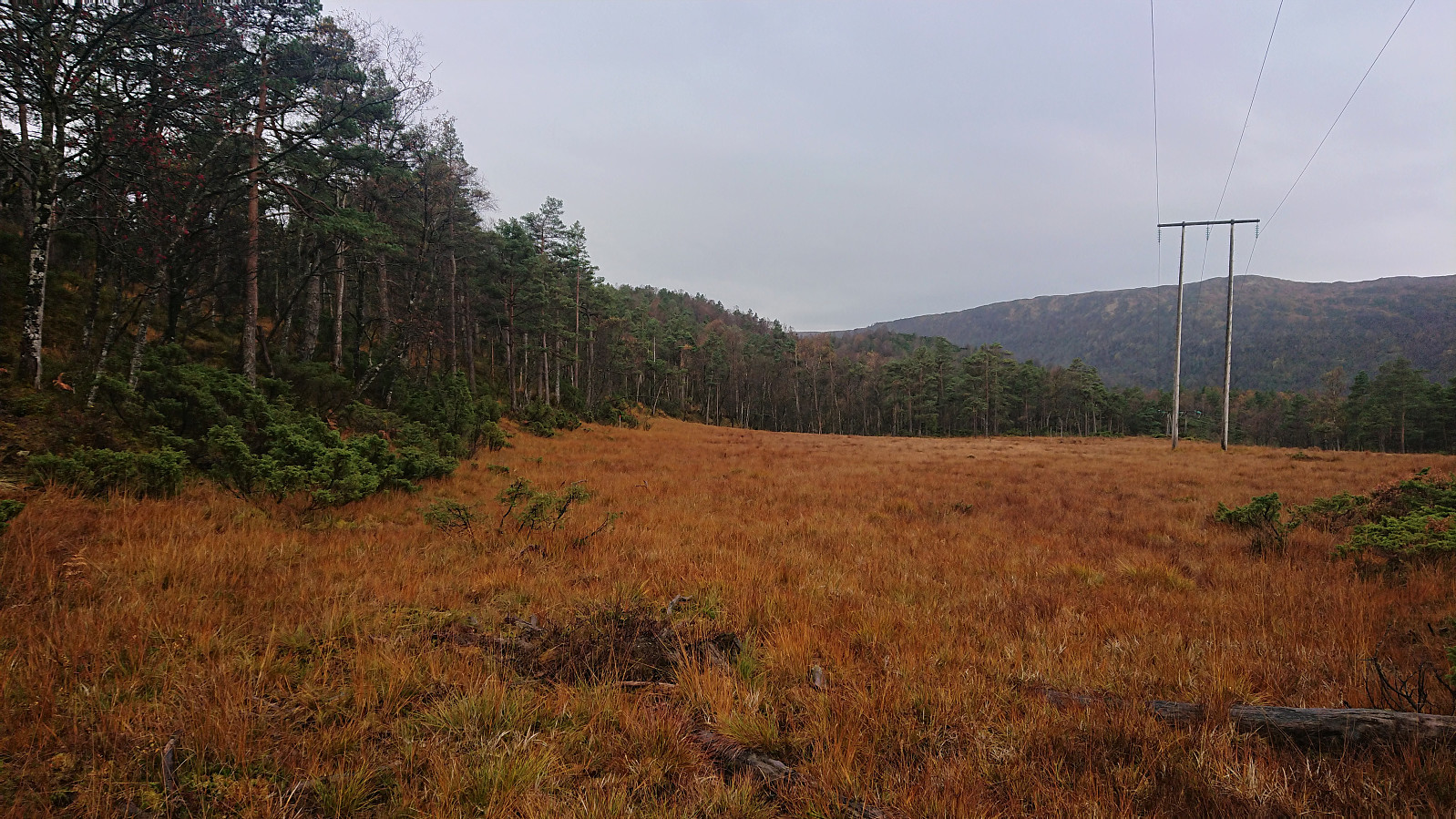
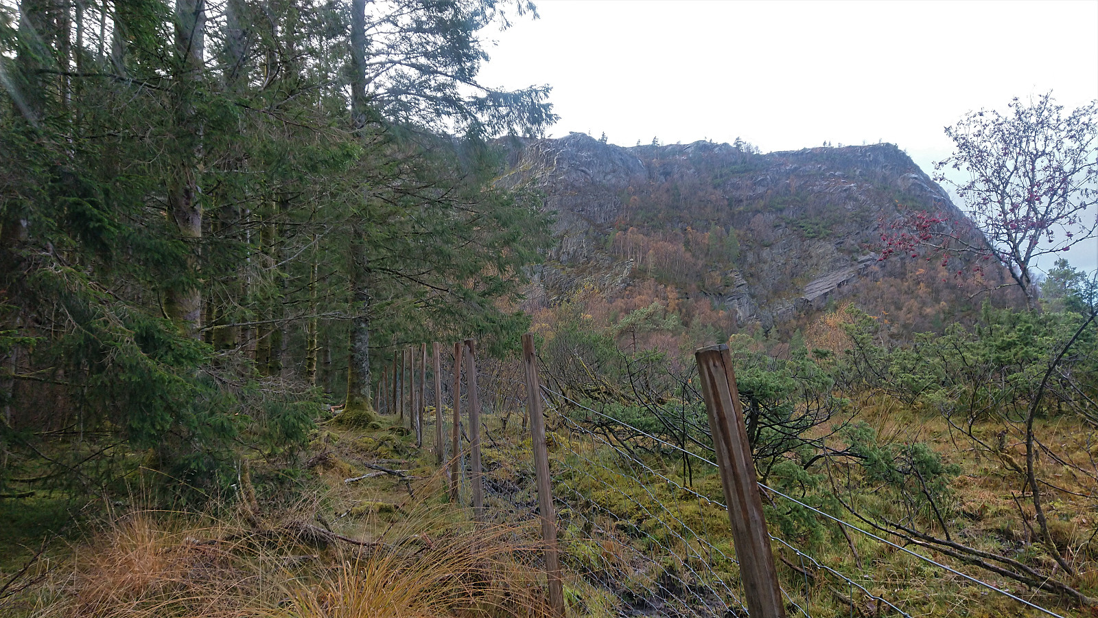
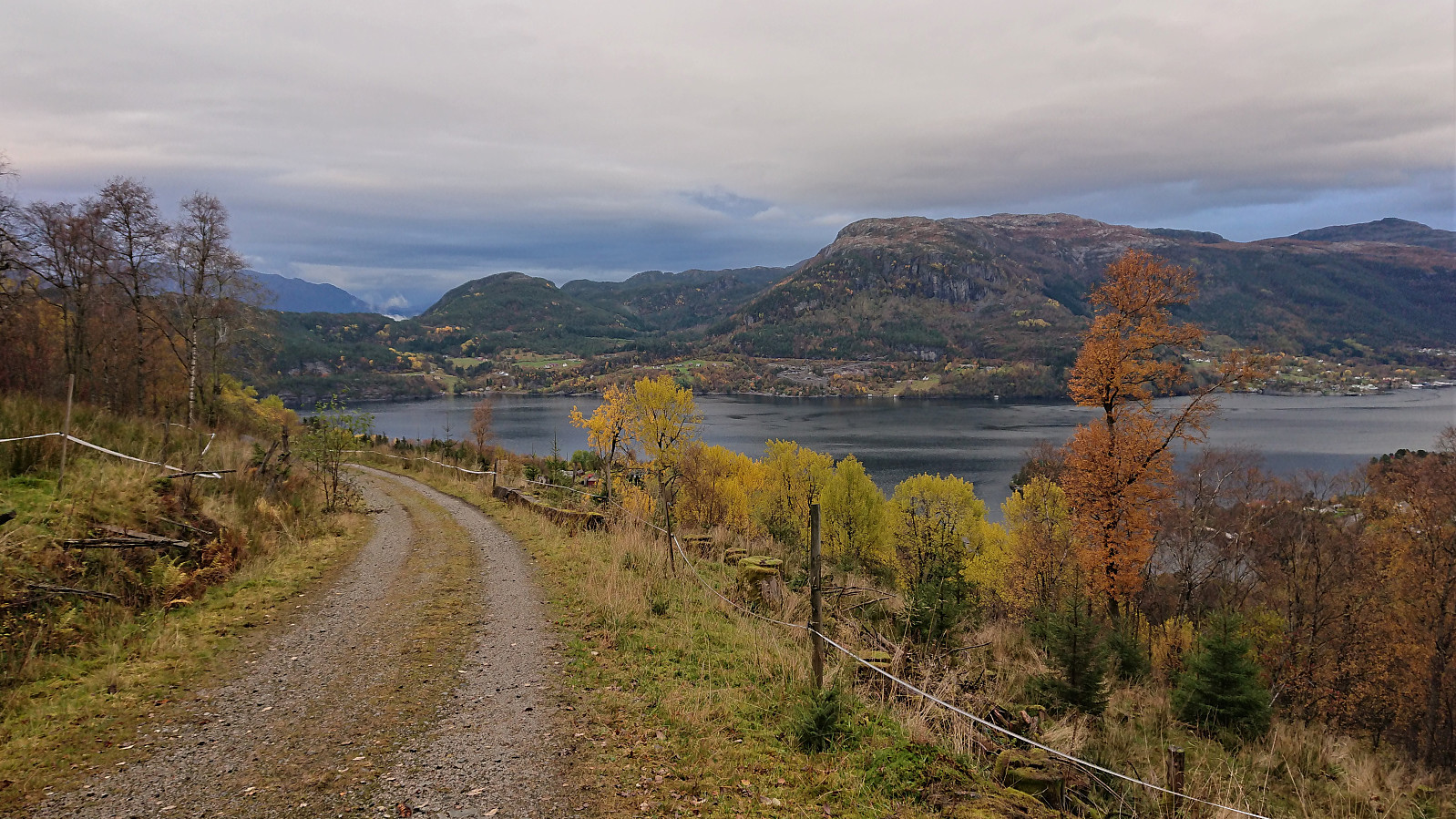
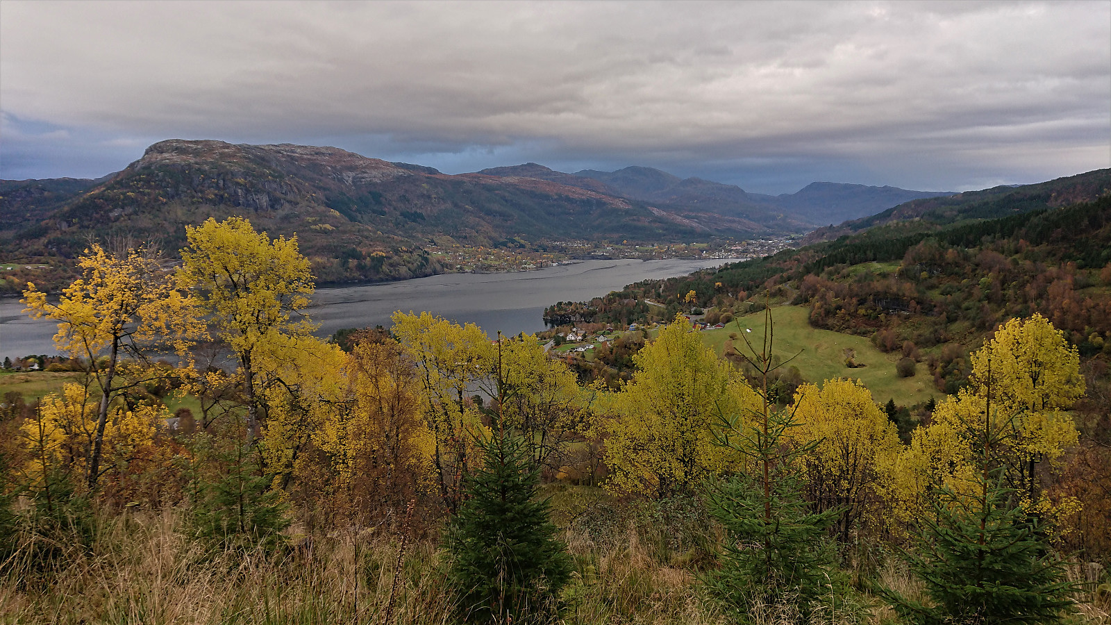
When directly east of the quarry, my route was blocked by a fence, which I followed west, and then, after a short stretch of light climbing, I was finally on the road! Thankfully still with plenty of time left, and I could therefore take it easy along the gravel road down to Kvåle and the main road.
When waiting for the bus, I compared the trail indicated at ut.no to the information sign from the start of the hike. To my surprise the two descent routes where significantly different! I was actually on the right track the first time and could have easily avoided the long detour! If anyone repeats this hike, I would therefore highly recommend trying to follow the trail on the information sign and not the one at ut.no!
| Start date | 17.10.2019 14:21 (UTC+01:00 DST) |
| End date | 17.10.2019 17:33 (UTC+01:00 DST) |
| Total Time | 3h 12min |
| Moving Time | 3h 05min |
| Stopped Time | 0h 7min |
| Overall Average | 3.5km/h |
| Moving Average | 3.6km/h |
| Distance | 11.2km |
| Vertical meters | 711m |


User comments