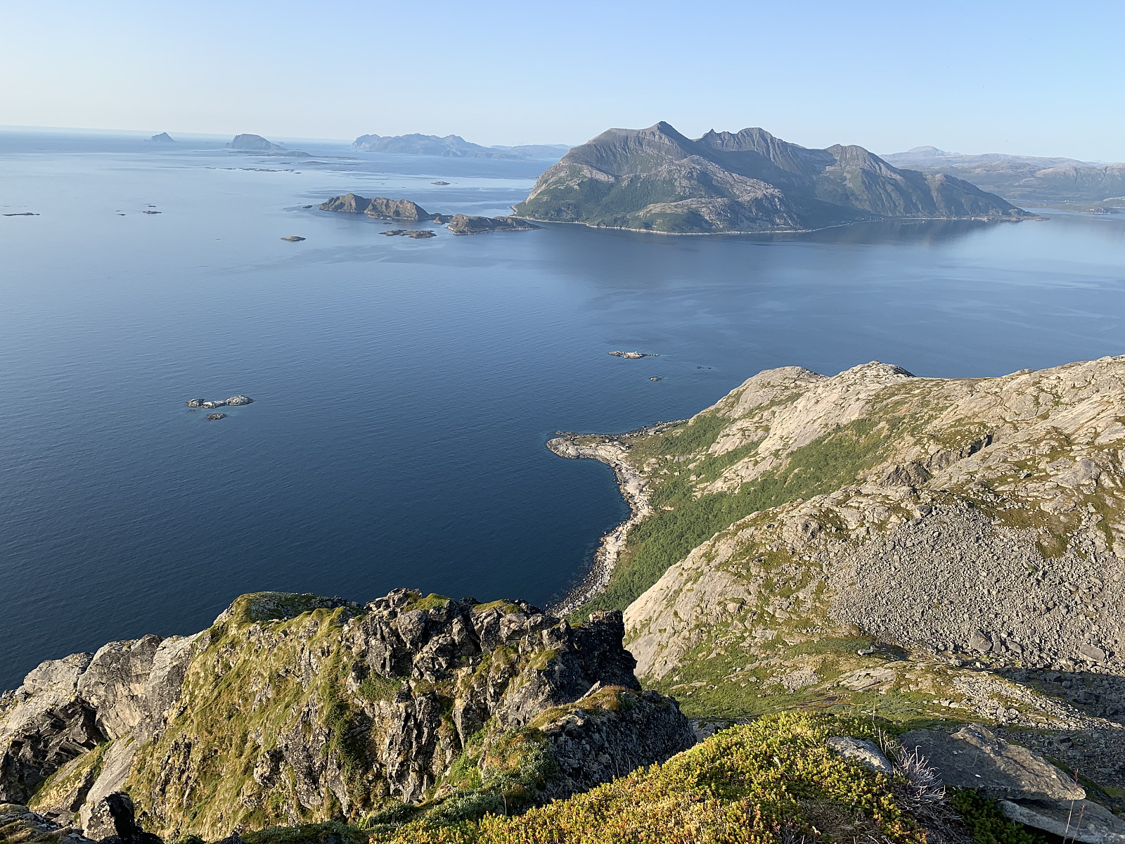
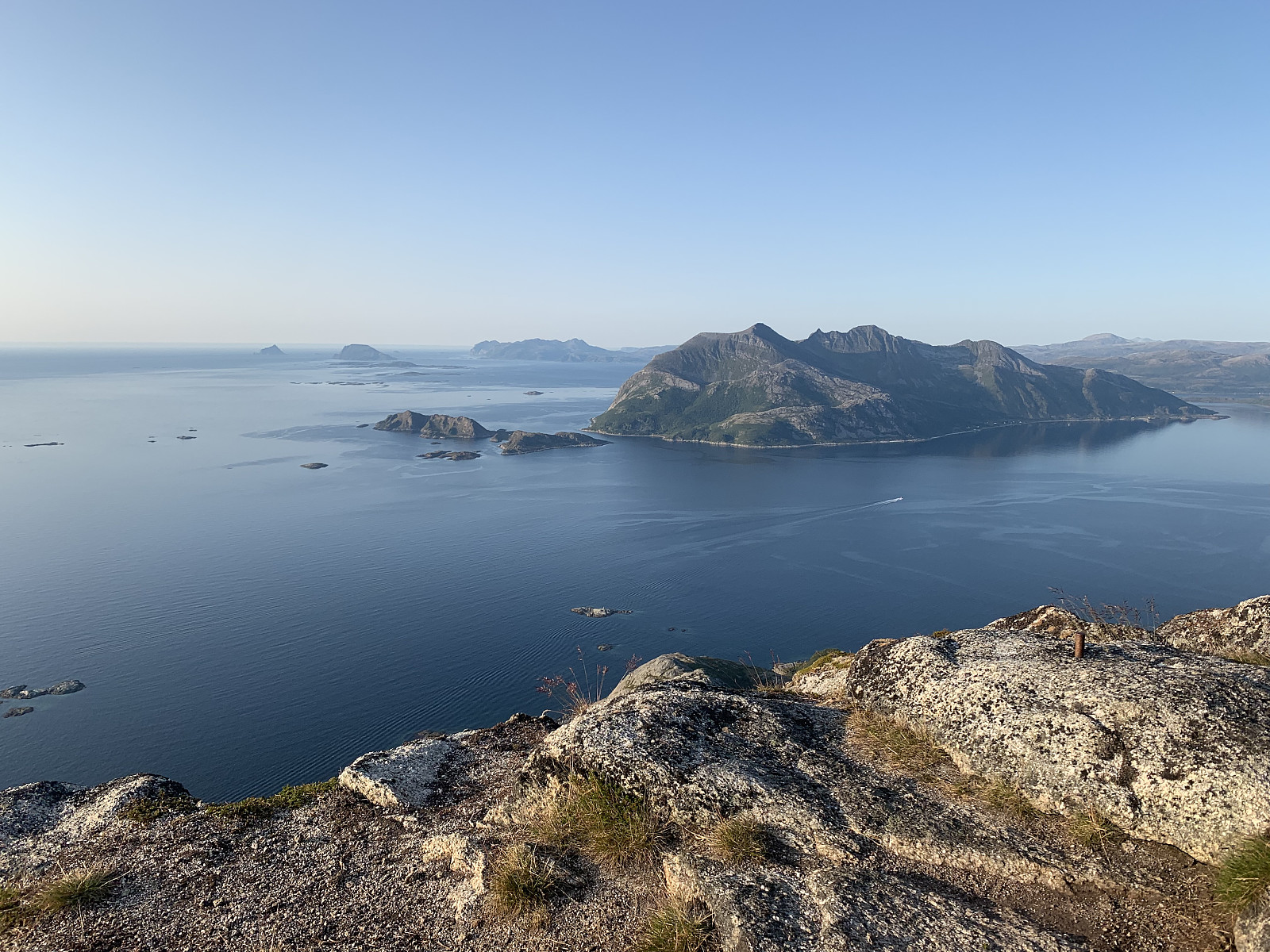
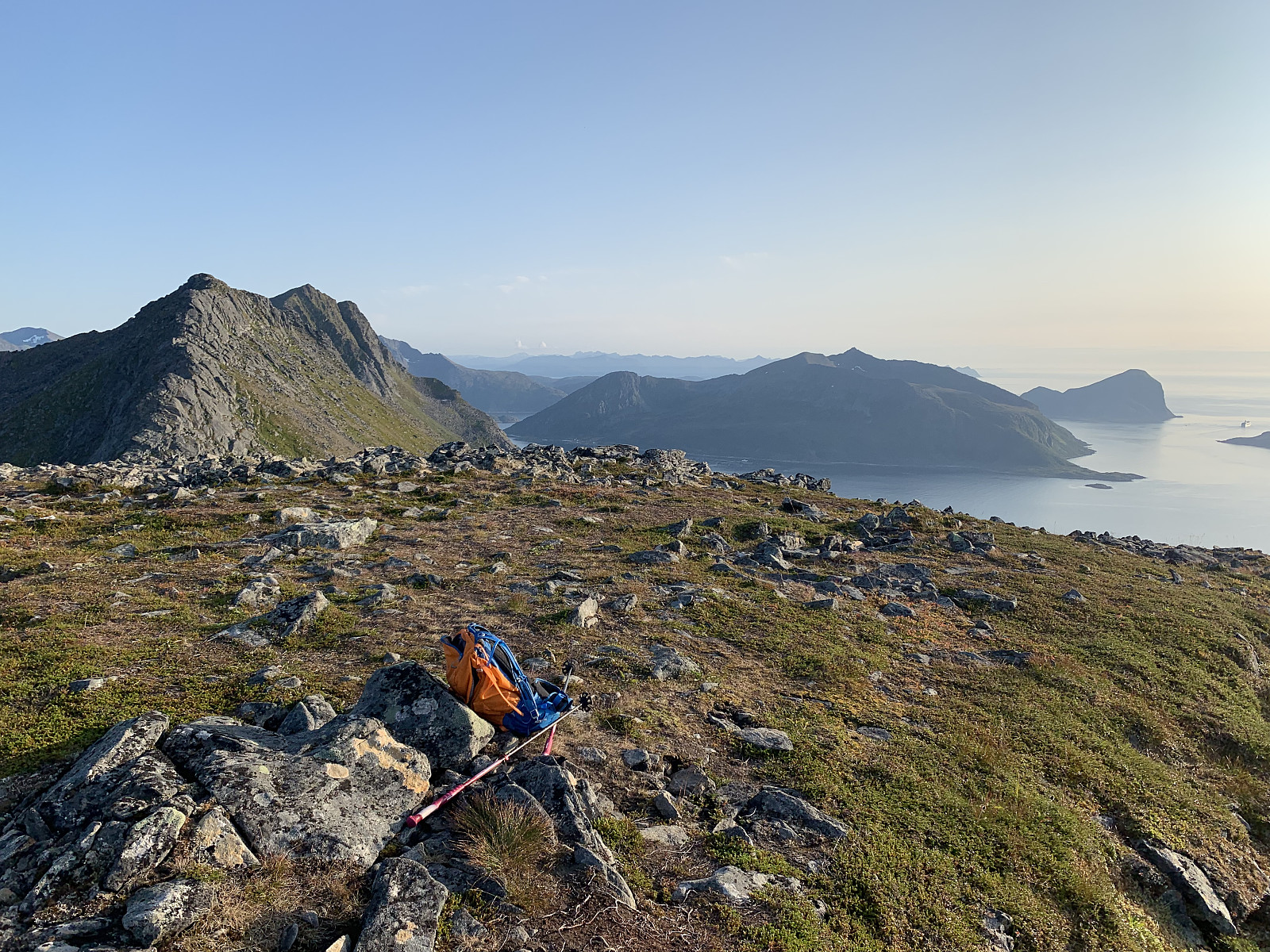
My plan was originally to hike Tromtinden together with Mellomtinden but I miscalculated how long the approach in the valley was and realised I had time for only one of them. After parking by the side of Rekvikvatnet, I followed the trail to the right of the lake and then across to valley to the left towards Tromtinden. The approach was pretty flat and boring, and the elevation gain was slow. The trail splits into two around the small lake at 300moh and I followed the trail to the right. From here you gain elevation steadier heading up the outer side of the mountain and the views were great out over the ocean, especially from the small varden at 566moh. I didn't meet a single person out hiking today and it was a wonderfully peaceful and calm night. Followed the trail back down the way I came up after a small dinner break at the top.


User comments