
Børdalsfjellet and Huldabottsfjellet (16.07.2019)

Written by hbar (Harald Barsnes)

| Start point | Kvamshaug (390m) |
|---|---|
| Endpoint | Eikedalen (391m) |
| Characteristic | Hillwalk |
| Duration | 2h 23min |
| Distance | 7.9km |
| Vertical meters | 543m |
| GPS |
|
| Ascents | Børdalsfjellet (788m) | 16.07.2019 |
|---|---|---|
| Huldabottsfjellet (773m) | 16.07.2019 |
Børdalsfjellet and Huldabottsfjellet


I left work a bit early and hopped on a bus to Eikedalen with the goal to visit both Børdalsfjellet and Huldabottsfjellet. The schedule for the planned return bus was on the tight side, and did not get any better when I managed to get off the bus one stop too early. Thankfully this only required an extra 500 meters walk along the main road (could have been much worse…).
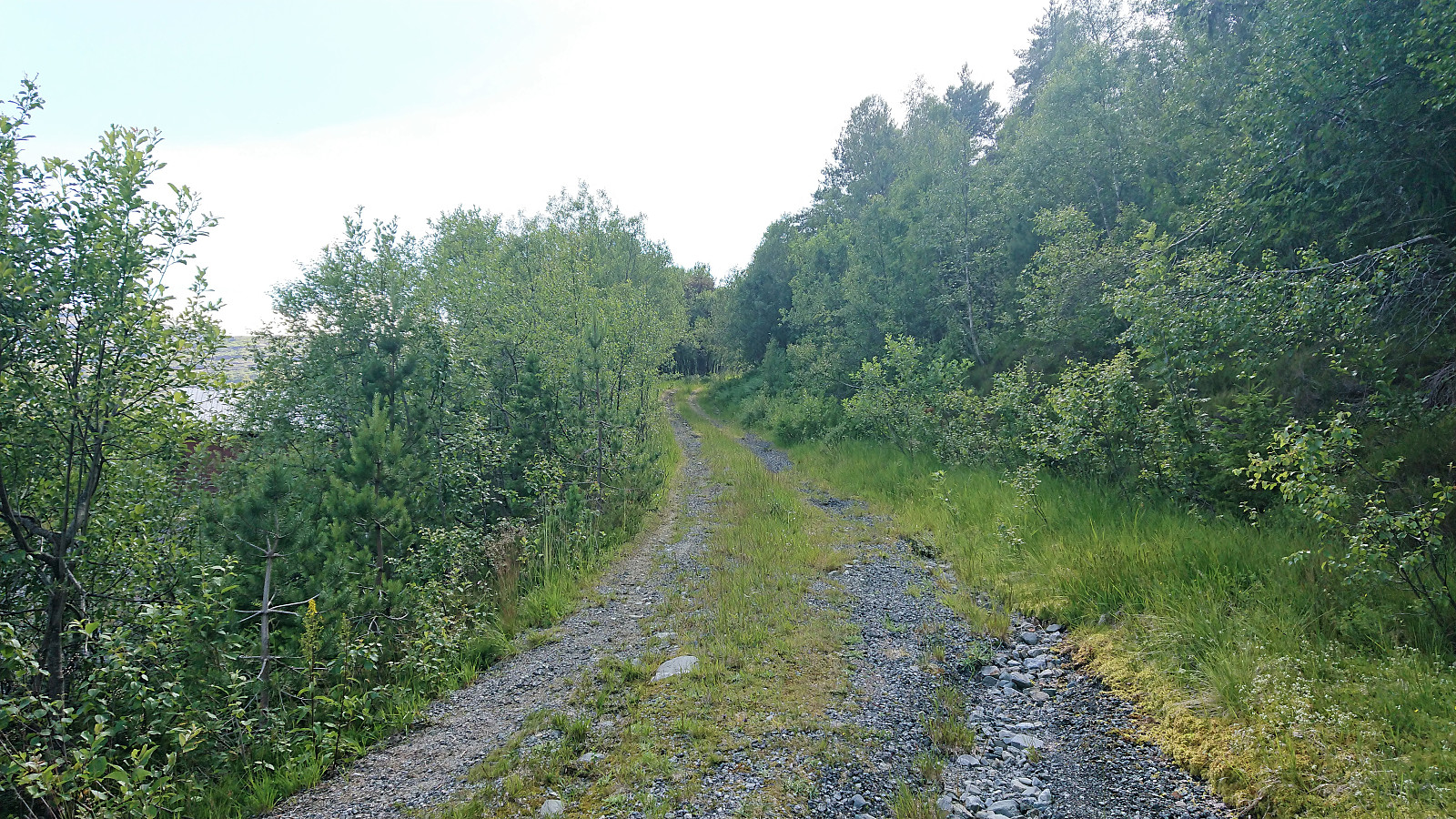
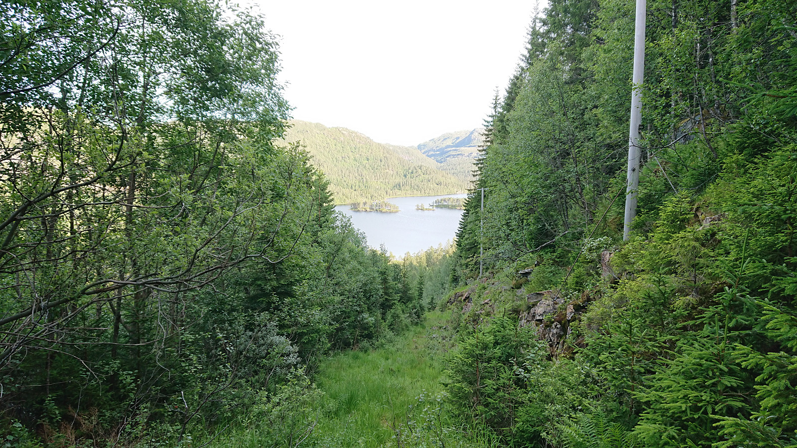
After leaving the main road, I followed an old gravel road up to what I believe is the start of an old ski lift, clearly not used in a long time. It did however provide the trace of an old tractor road that greatly simplified the start of the ascent. When the road ended shortly after crossing the river via an old bridge (I did not see any traces of the road turning south as indicated on the map), I instead turned left (west) and started making my own way towards Børdalsfjellet.
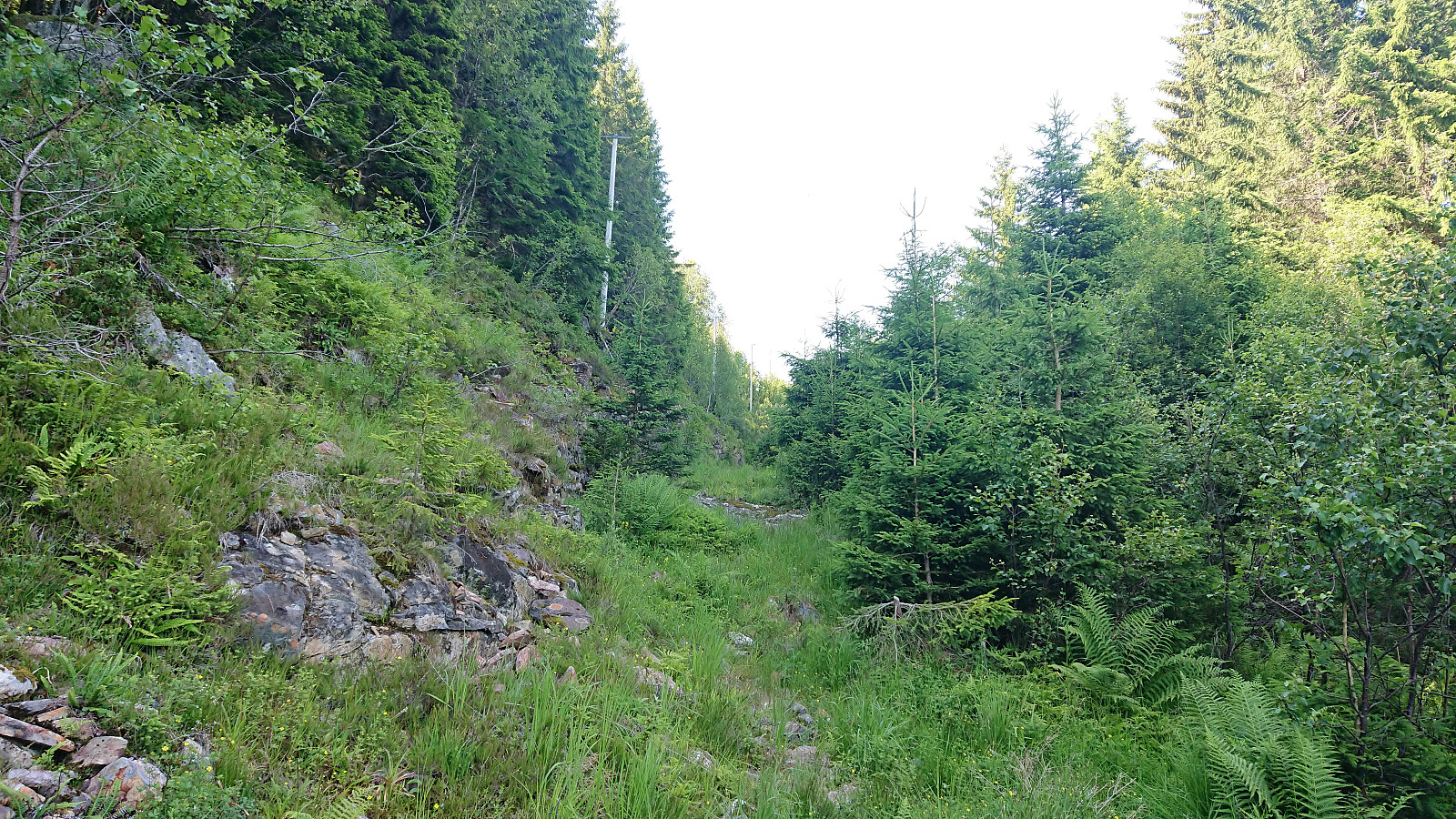
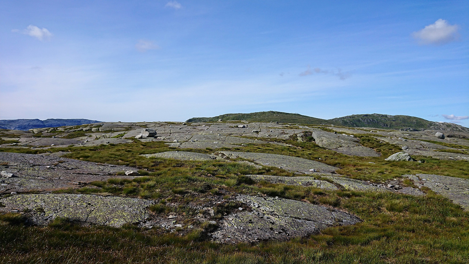
The progress was overall easier than expected and it did not take long to leave the trees behind. From there on it was straightforward and I soon reached the summit without any difficulties. Note there usually will be plenty of wet/muddy areas though, however today the vast majority of these had more or less dried out and could be crossed without any risk of getting wet or muddy.
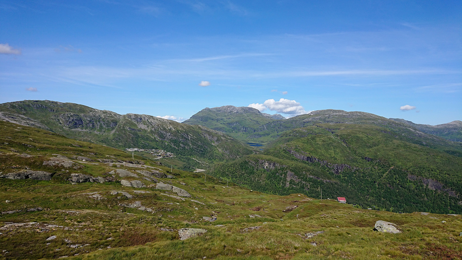
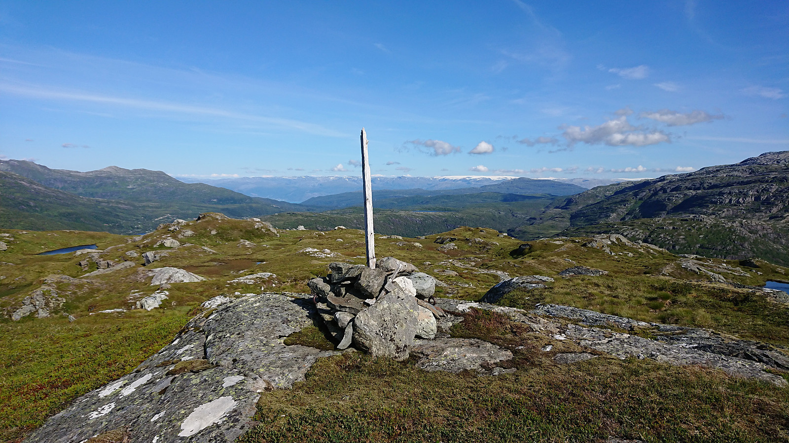
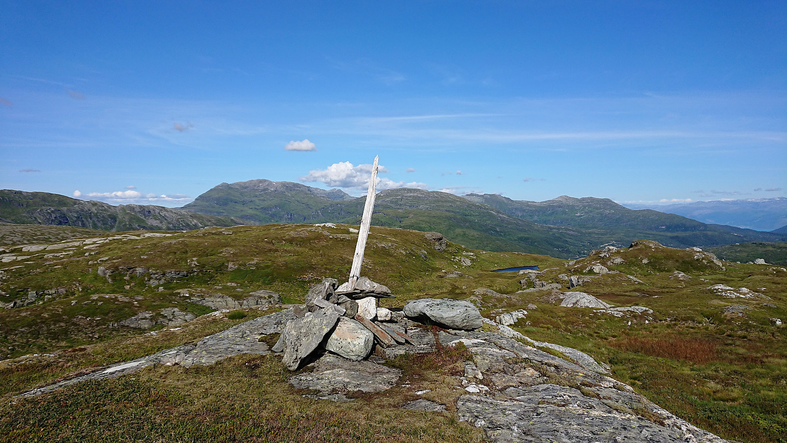
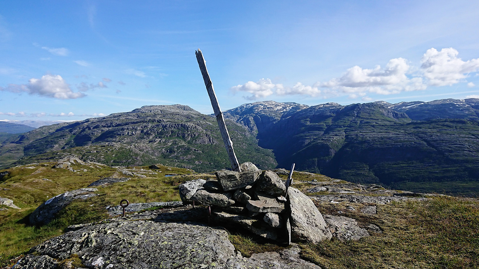
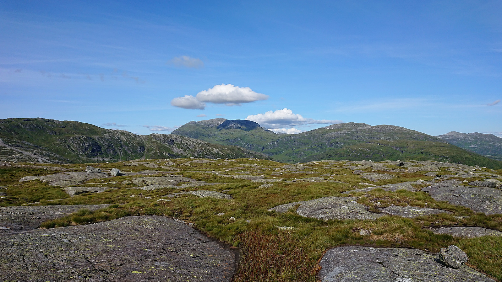
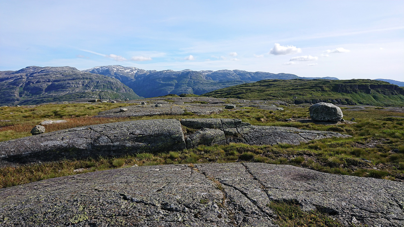
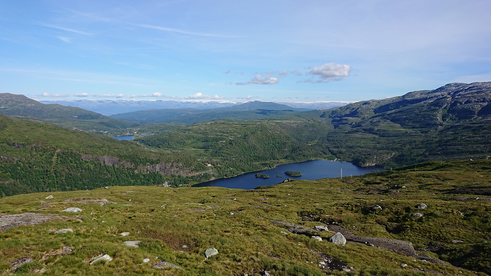
The summit provided excellent views and I enjoyed a quick bite before starting my descent. At the start I followed more or less the same route, but then tried to make a more direct shortcut to Huldabottsfjellet. This turned out to be a mistake, as I came across a cliff going east-west that was clearly too steep to climb. I considered going further west for a potential descent, but in the end rather returned east and descended close to where I had come up earlier.
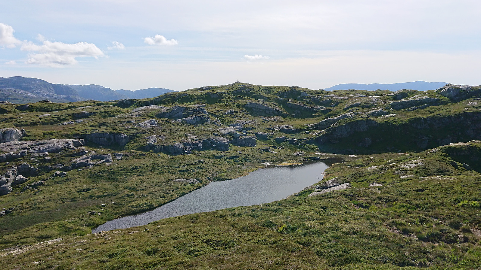
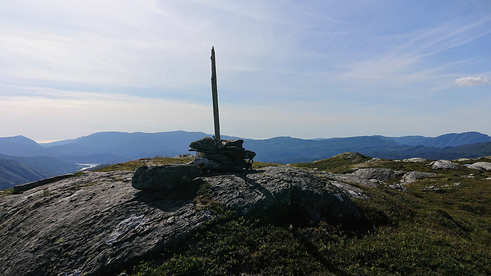
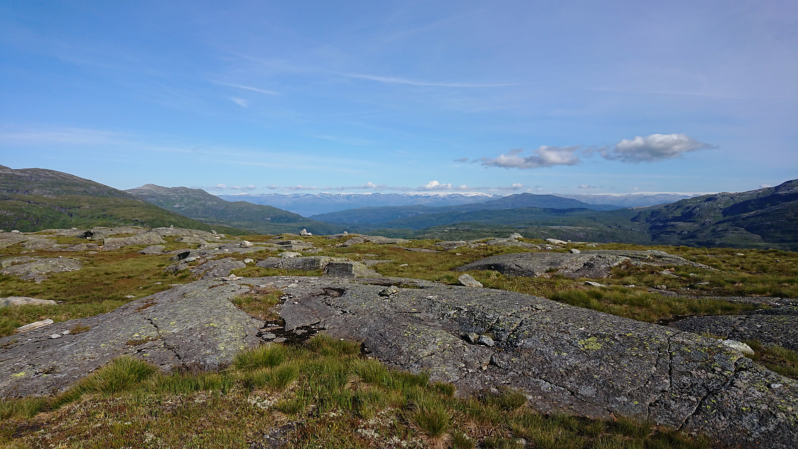
Having lost a bit of time on this unnecessary detour, I had to consider if I still had time for a quick visit of Huldabottsfjellet. But I was now too close not to give it a go, and with some light running I quickly arrived at the summit. Or perhaps I should say the summit area, as there was no clear highest point or a marker of any kind.
After being fairly confident that I had visited the highest point of Huldabottsfjellet, I was ready to start my descent. The open area made for very easy progress and within not too long I was back on the route used on the ascent, which I followed for the rest of the descent, as I did not have time to get stuck in unknown terrain, and made it to the bus stop with more than ten minutes to spare.
Overall, this hike turned out better than expected, and with the excellent views along the way this shortcut to Børdalsfjellet can very much be recommend as an alternative to the route starting from Eikedalen Skisenter.
| Start date | 16.07.2019 16:29 (UTC+01:00 DST) |
| End date | 16.07.2019 18:52 (UTC+01:00 DST) |
| Total Time | 2h 23min |
| Moving Time | 2h 10min |
| Stopped Time | 0h 12min |
| Overall Average | 3.3km/h |
| Moving Average | 3.6km/h |
| Distance | 7.9km |
| Vertical meters | 543m |


User comments