
Fotasperrnuten (13.07.2019)

Written by hbar (Harald Barsnes)

| Start point | Kvernavollen (363m) |
|---|---|
| Endpoint | Kvernavollen (362m) |
| Characteristic | Hillwalk |
| Duration | 5h 30min |
| Distance | 14.3km |
| Vertical meters | 1,031m |
| GPS |
|
| Ascents | Fotasperrnuten (1,193m) | 13.07.2019 |
|---|---|---|
| Visits of other PBEs | Steinskvanndalen bom (400m) | 13.07.2019 |
Fotasperrnuten
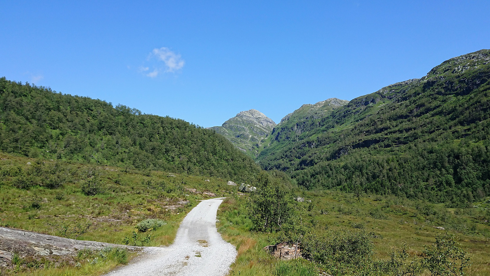
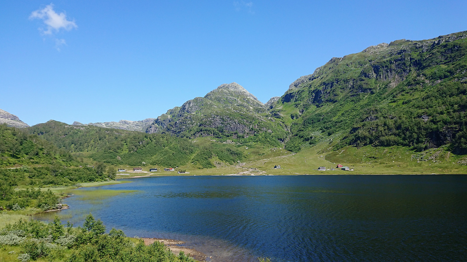
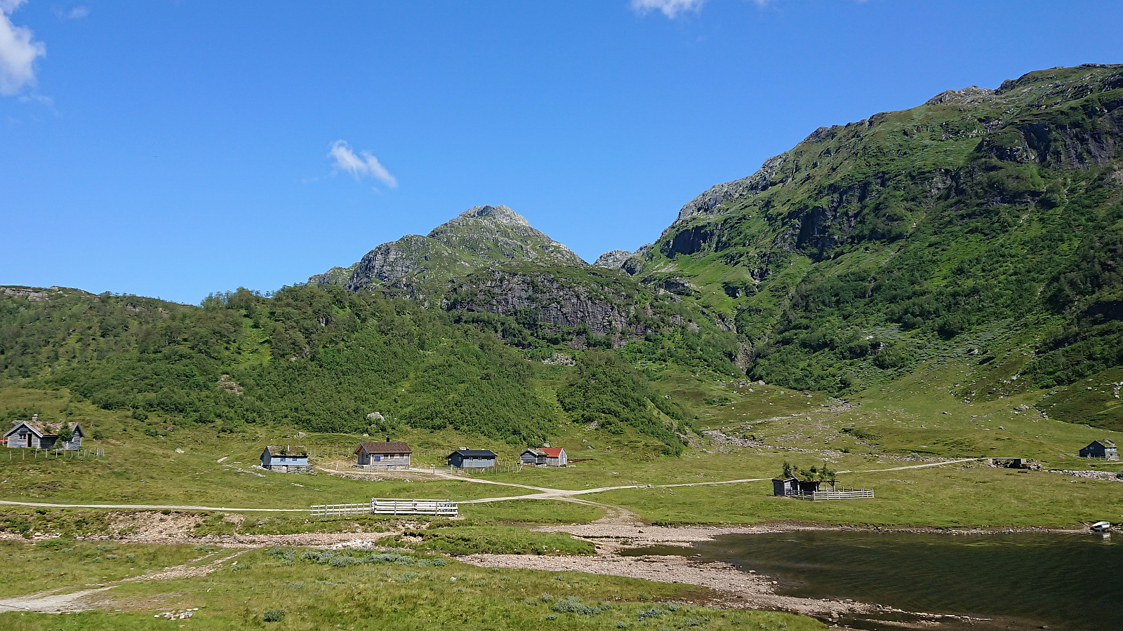
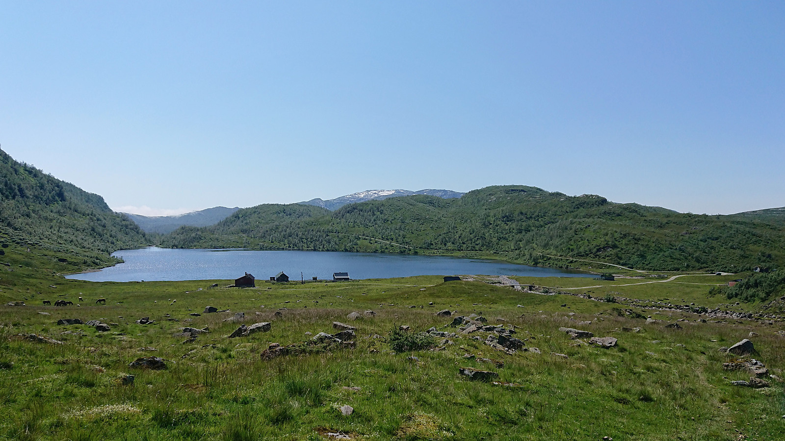
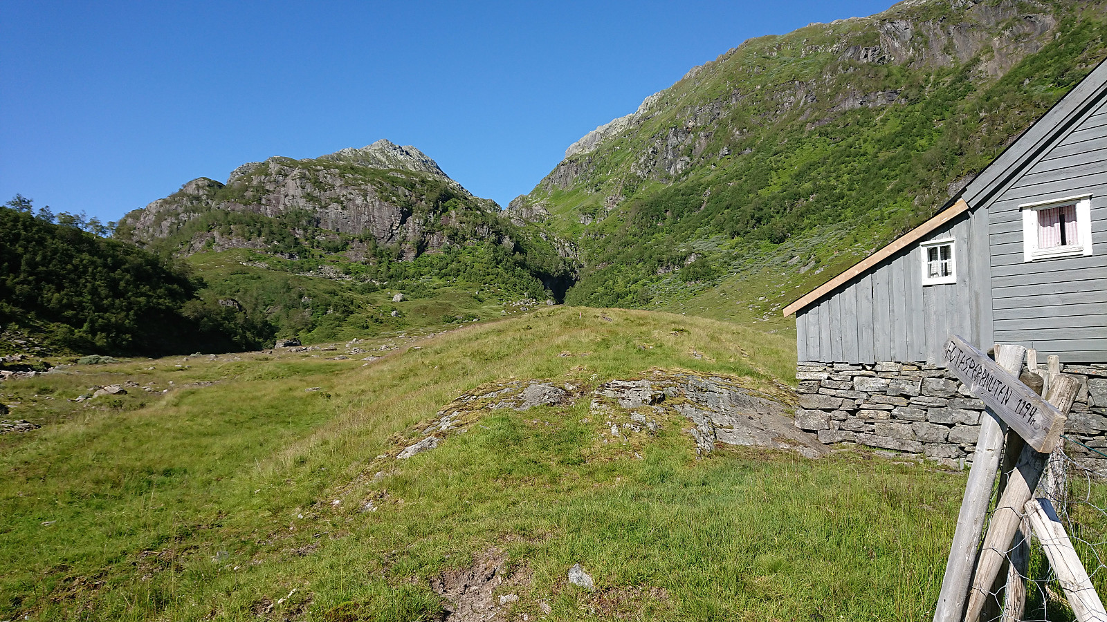
When the initial plan to drive to Øystese for a visit to Skrott did not work out, we changed plans and instead hopped on a bus to Steinskvanndalen (bus stop called Kvernavollen) for an ascent of Fotasperrnuten. The walk along the gravel road up to the beautiful Steinskvanndalsvatnet was quickly completed and we then started searching for the marked trailhead. We walked a bit too far though and ended up making our own way up the field.
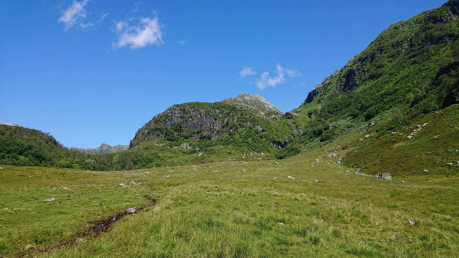
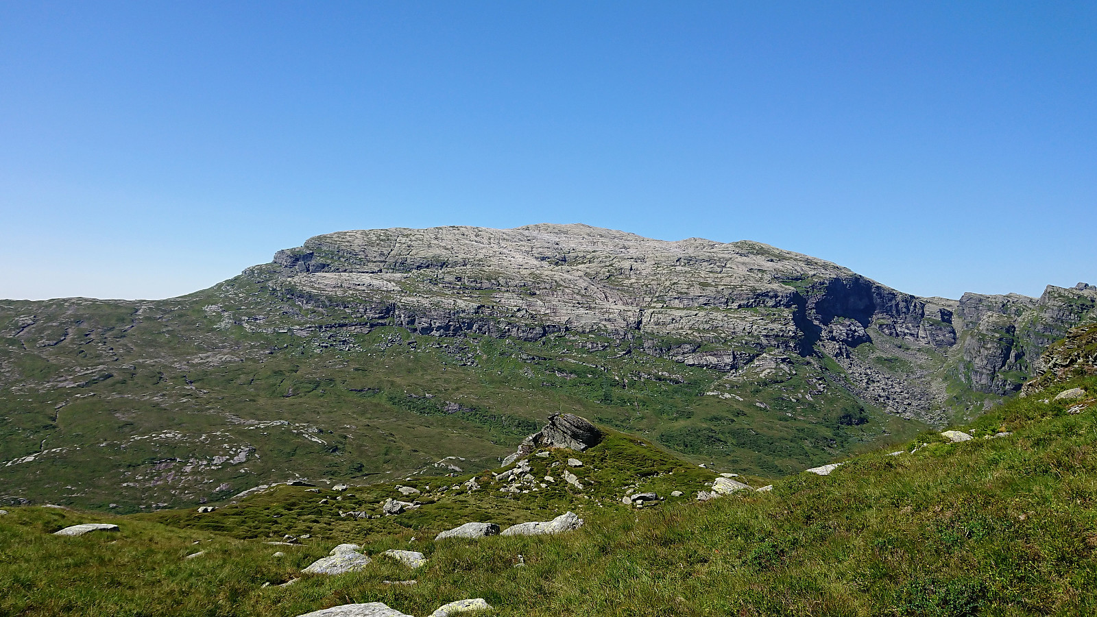
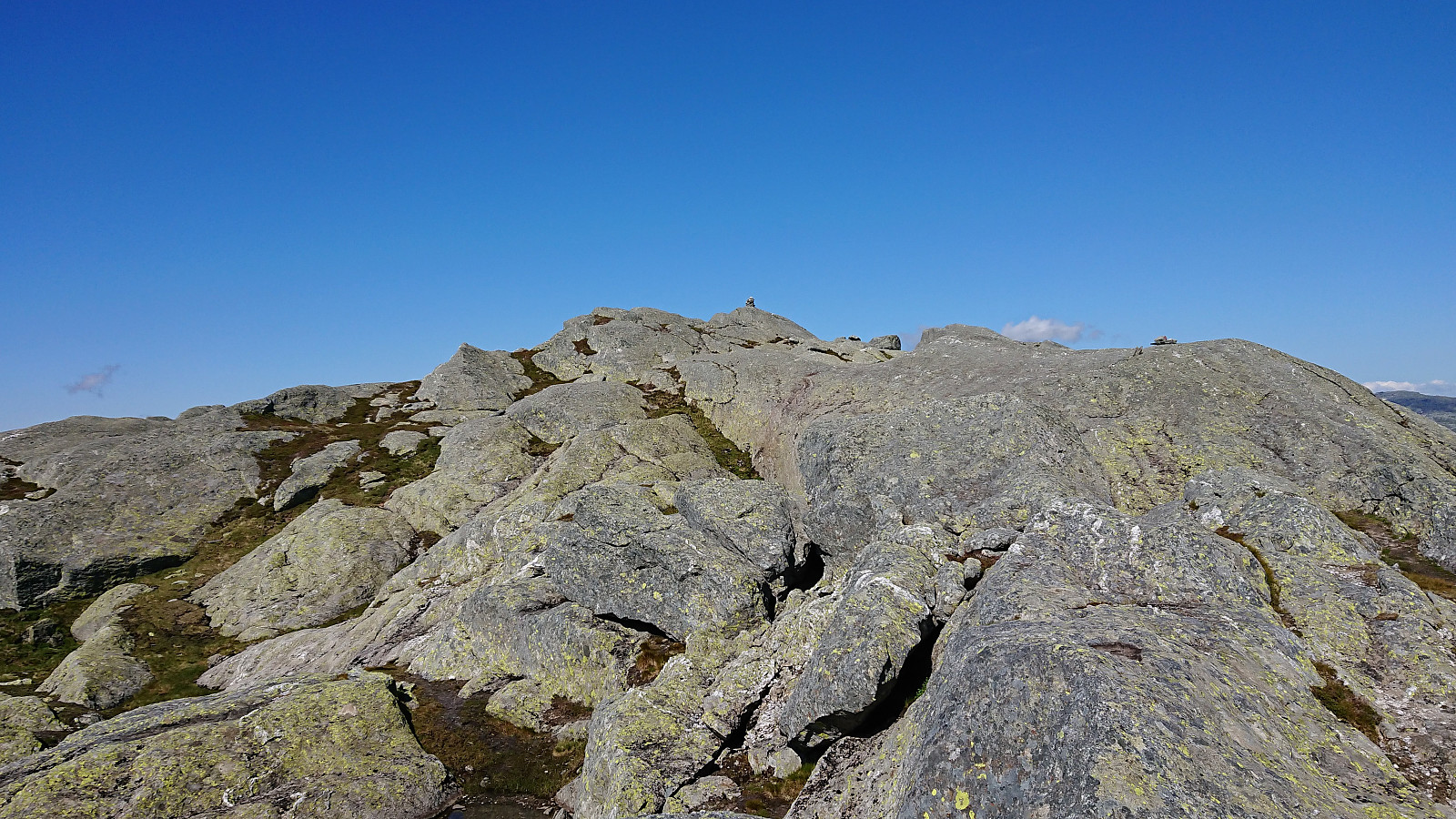
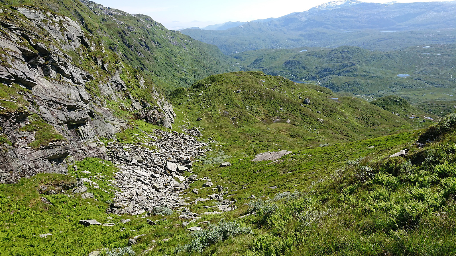
We soon came across the marked trail, which from there on, with some minor exceptions when getting close to the summit, was easy to follow. Note that there were some steep areas when heading up Fotasperrdalen, or more specifically a steep drop on the right-hand side of the trail, so this particular part of the trail may not be to everyone's liking. But as soon as this stretch was over, it was overall straightforward to reach the summit.
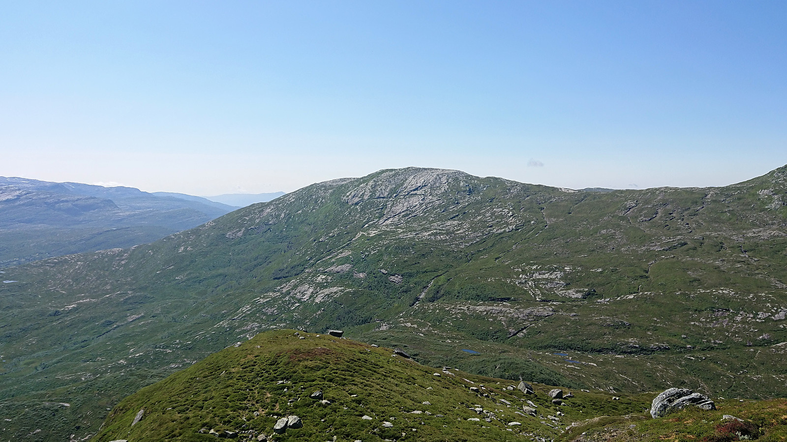
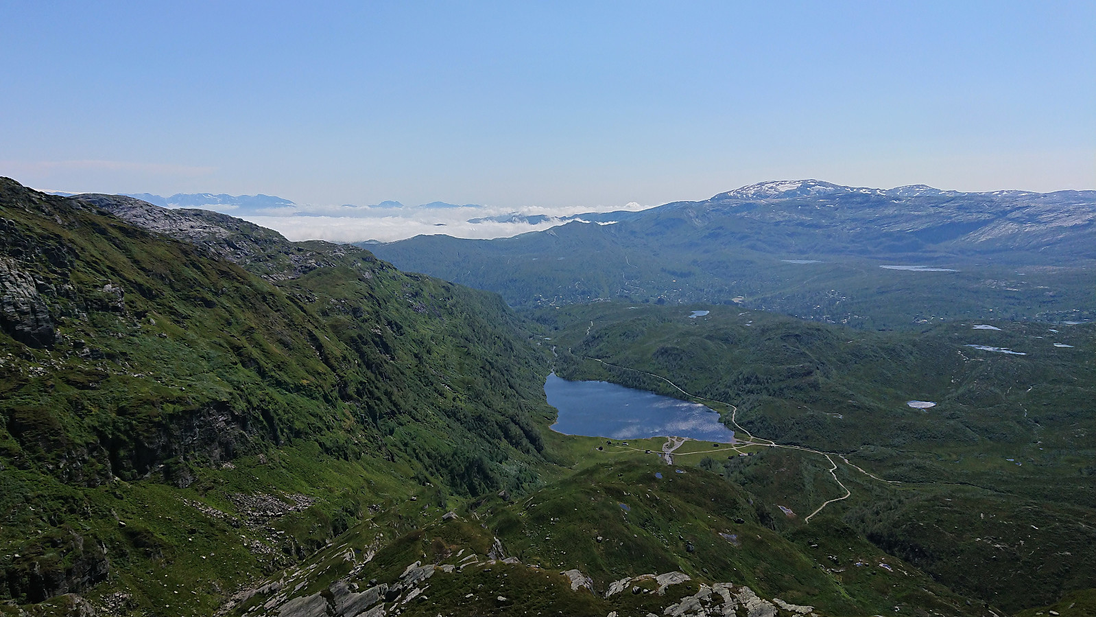
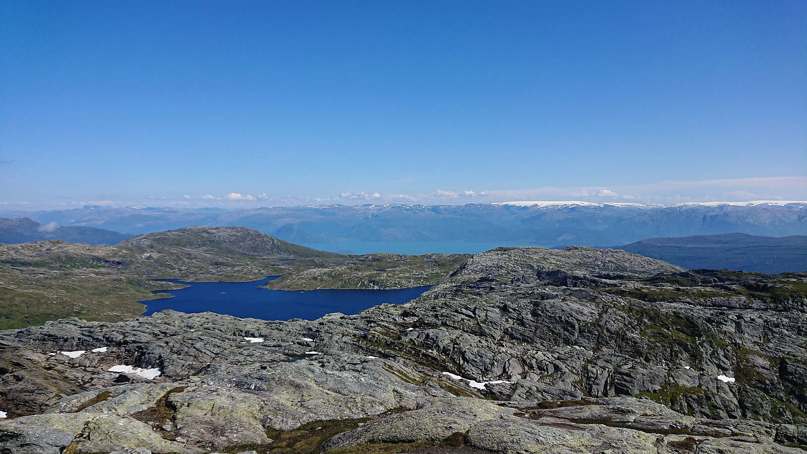
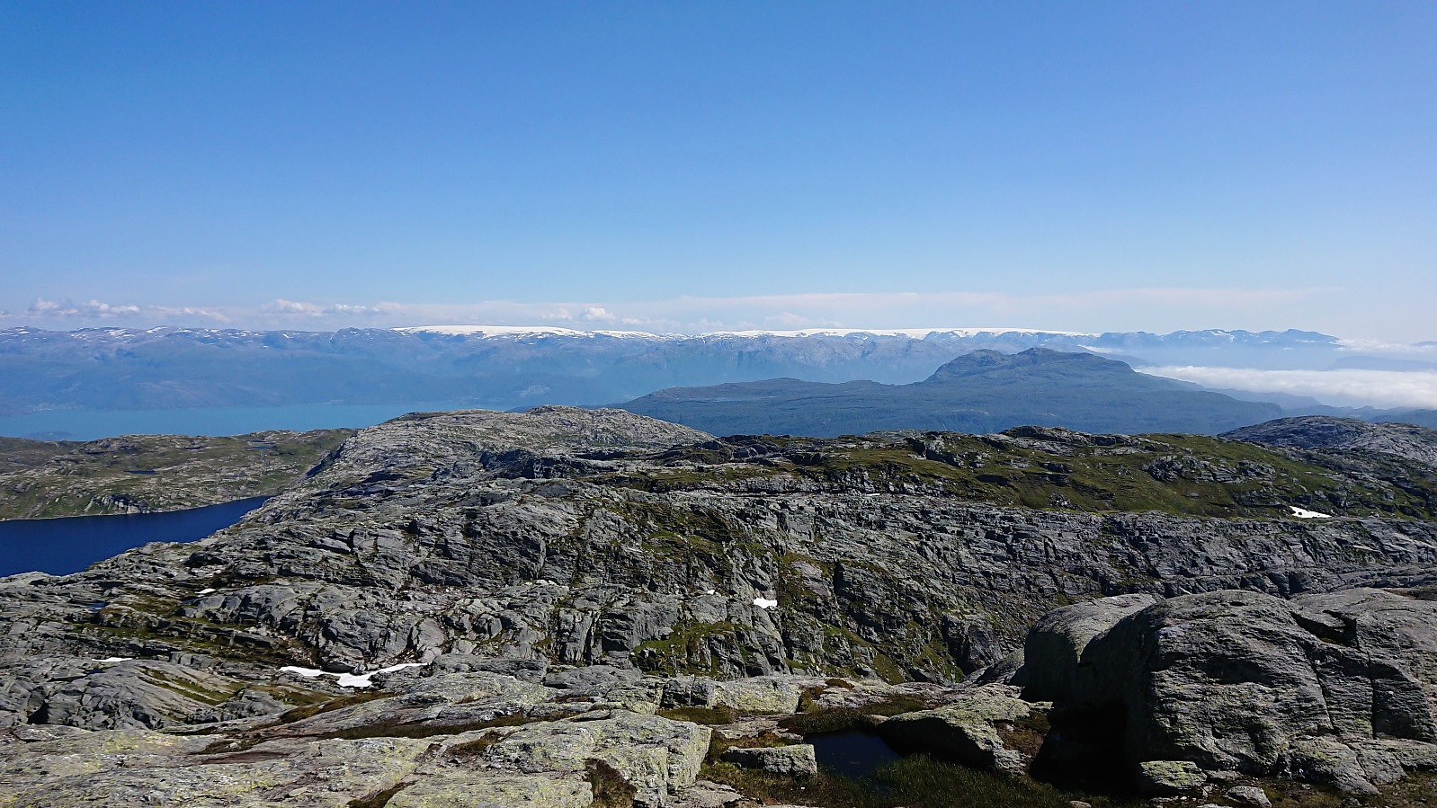
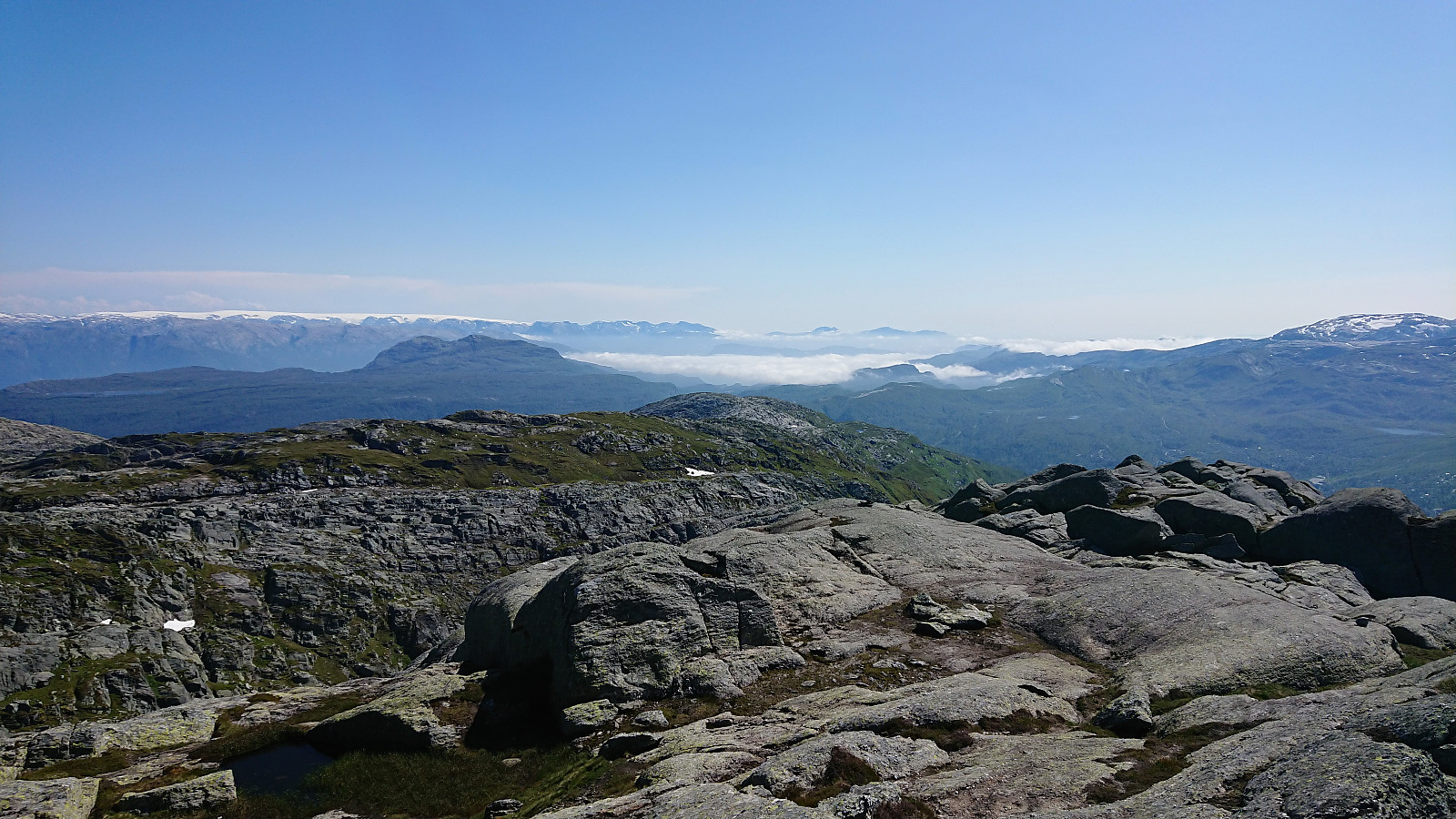
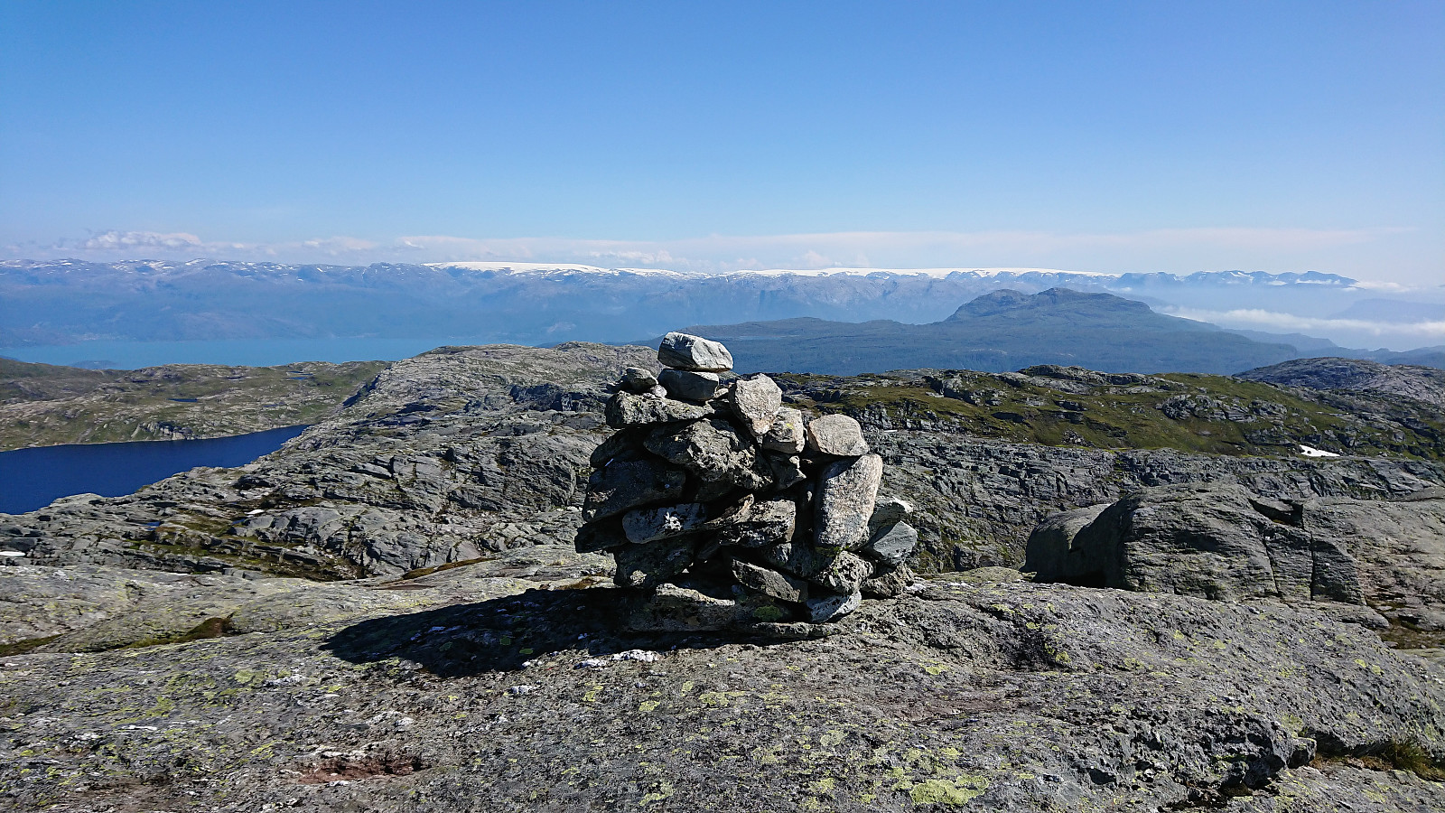
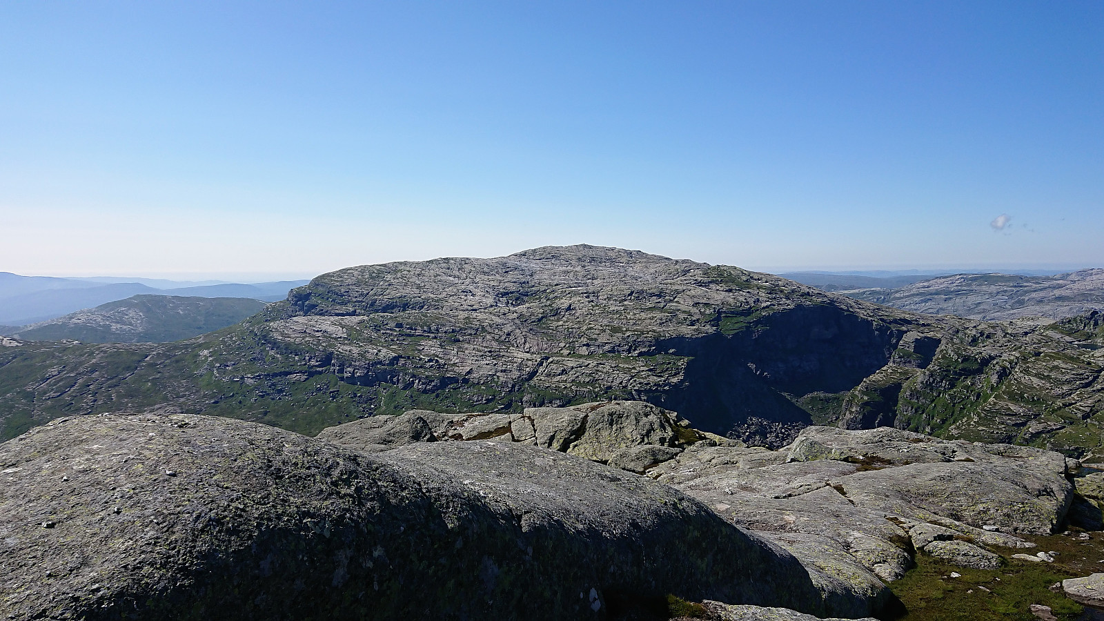
The summit provided spectacular views, especially towards Folgefonna, but also Tveitakvitingen, Fuglafjellet, Iendafjellet and more, and therefore an excellent place to enjoy our lunch. We did not stay too long though, as we had a bus to catch. The descent was however quicker than expected and in the end we had plenty of time to spare.
In summary, an excellent hike that can be very highly recommended. But do note the section at the start of the ascent from Steinskvanndalsvatnet with the steep drop on the right-hand side, and make sure that this is something everyone in your party is comfortable with. The rest of the hike is steep but otherwise straightforward, and generally along a clearly marked trail.


| Start date | 13.07.2019 13:07 (UTC+01:00 DST) |
| End date | 13.07.2019 18:37 (UTC+01:00 DST) |
| Total Time | 5h 30min |
| Moving Time | 4h 43min |
| Stopped Time | 0h 46min |
| Overall Average | 2.6km/h |
| Moving Average | 3.0km/h |
| Distance | 14.3km |
| Vertical meters | 1,031m |


User comments