
Melshovden (23.03.2019)

Written by hbar (Harald Barsnes)

| Start point | Sørkvingo (45m) |
|---|---|
| Endpoint | Sørkvingo (45m) |
| Characteristic | Hillwalk |
| Duration | 1h 15min |
| Distance | 3.3km |
| Vertical meters | 190m |
| GPS |
|
| Ascents | Melshovden (183m) | 23.03.2019 |
|---|---|---|
| Visits of other PBEs | Melshovden p-lomme (35m) | 23.03.2019 |
Melshovden
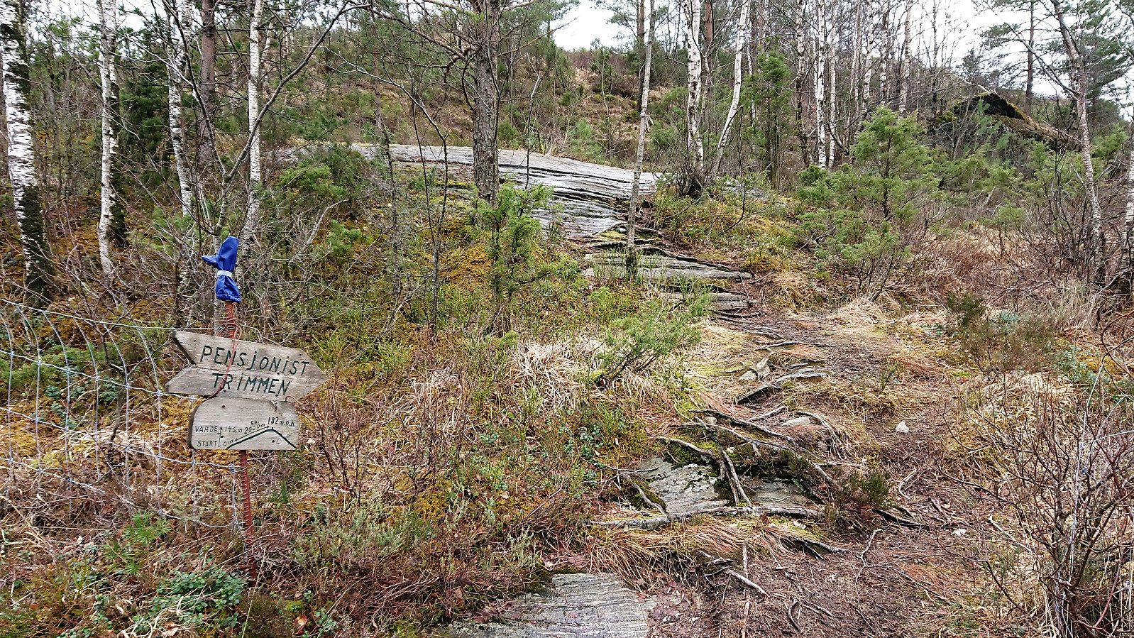
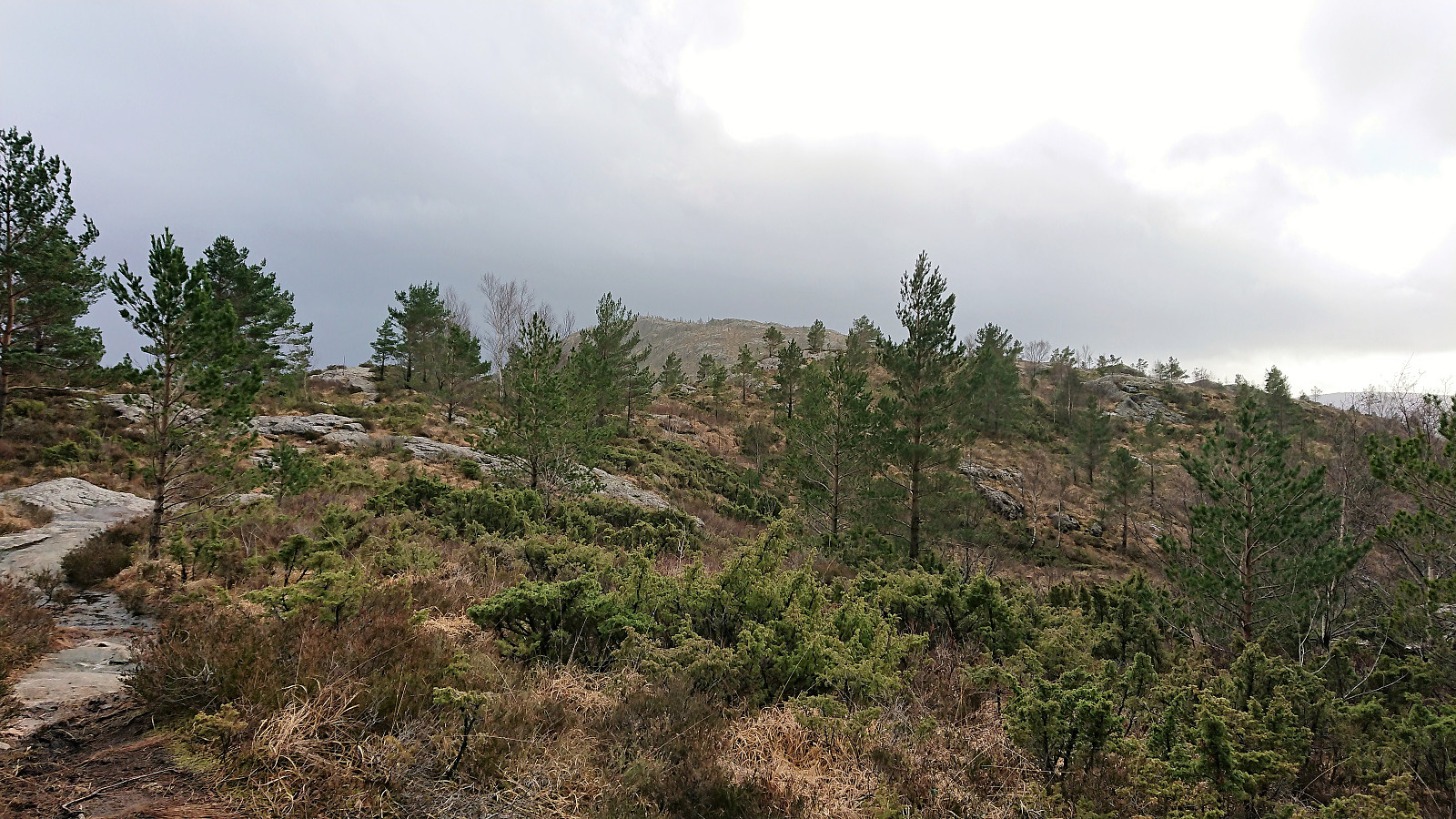
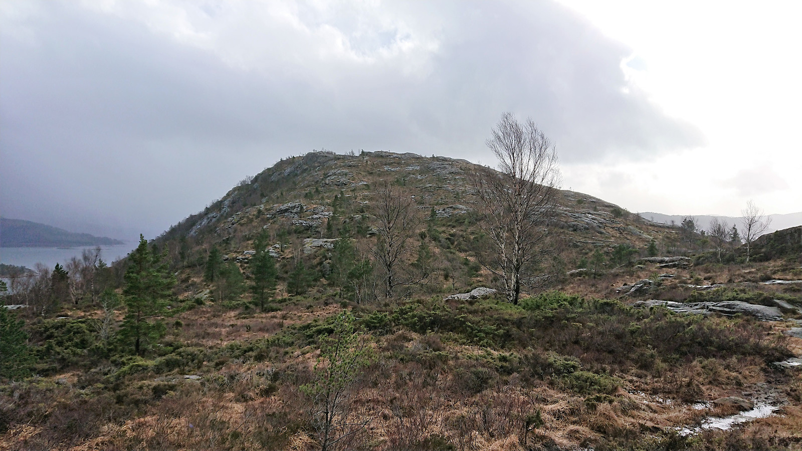
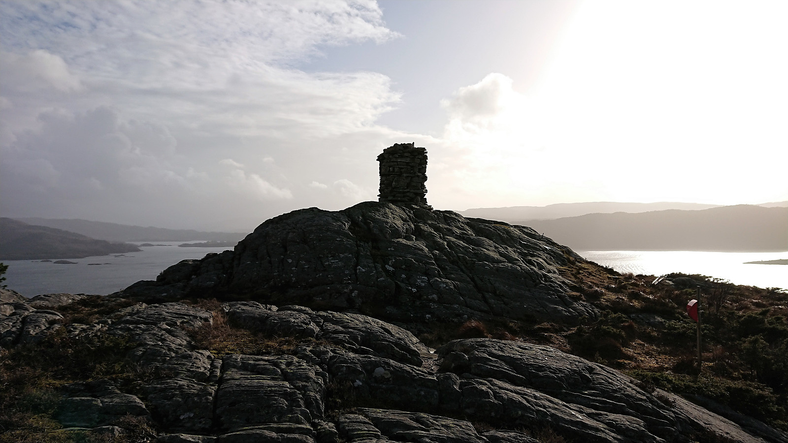
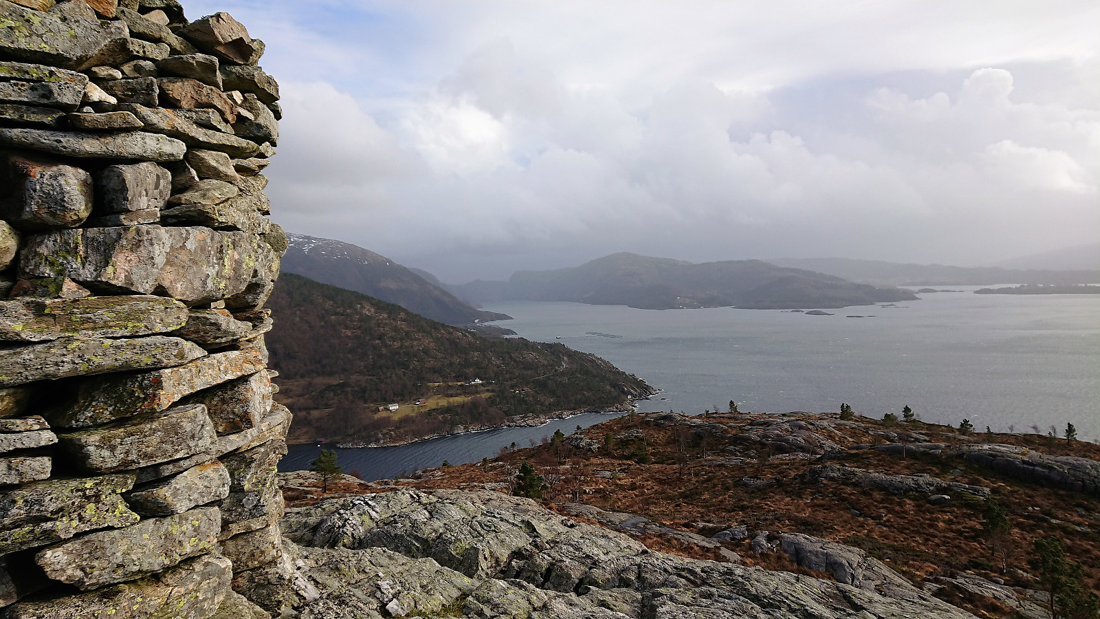
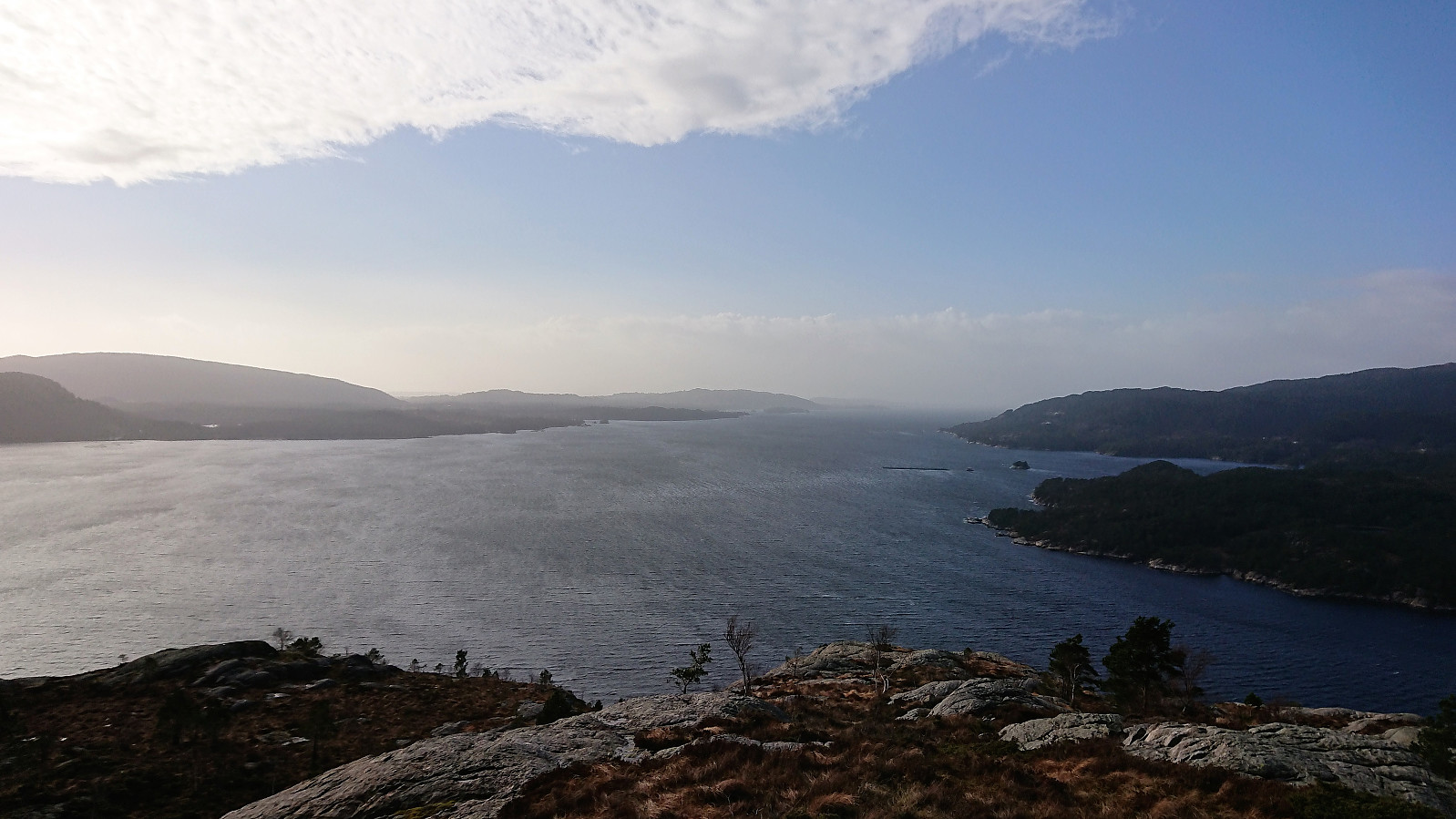
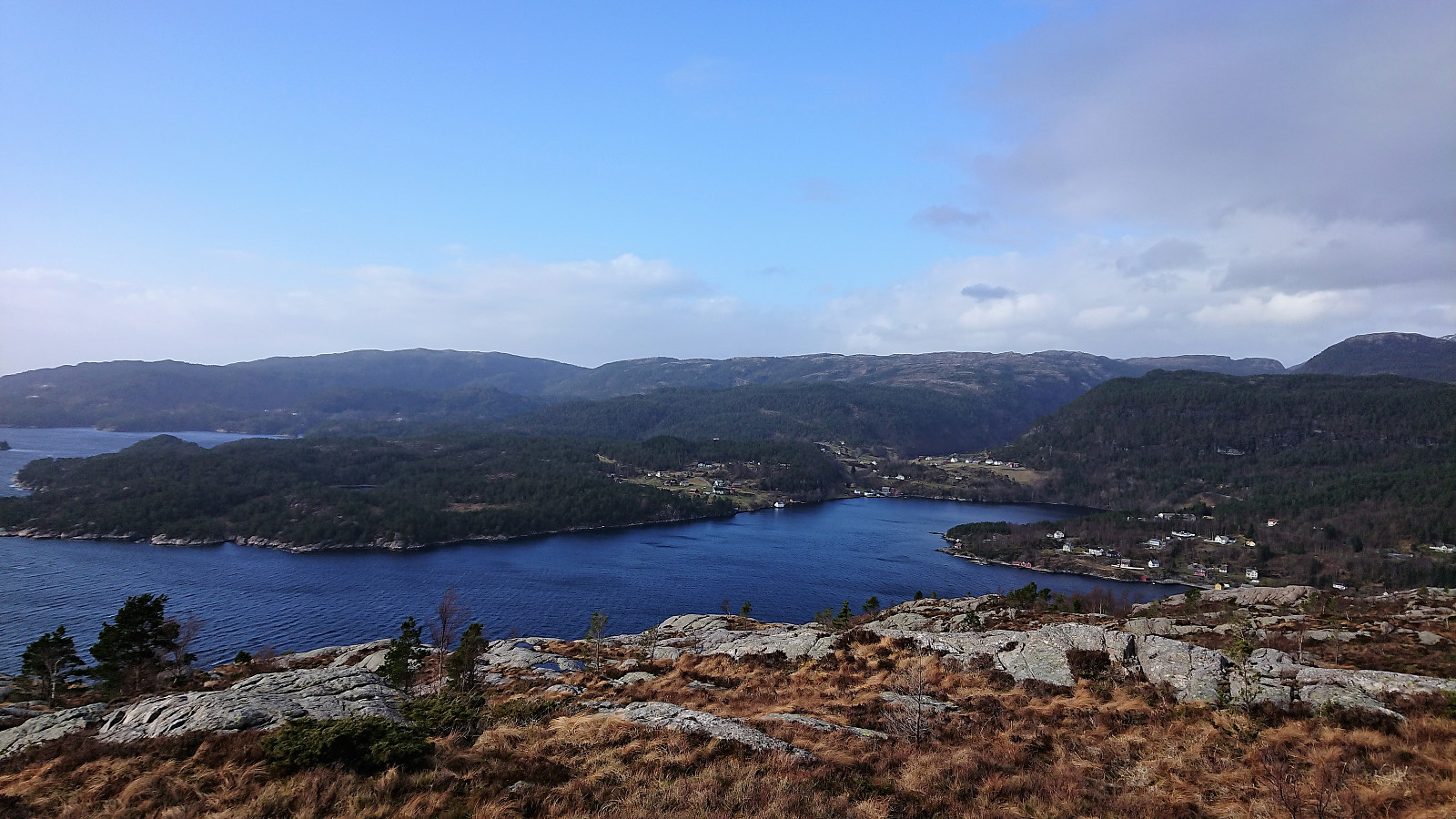
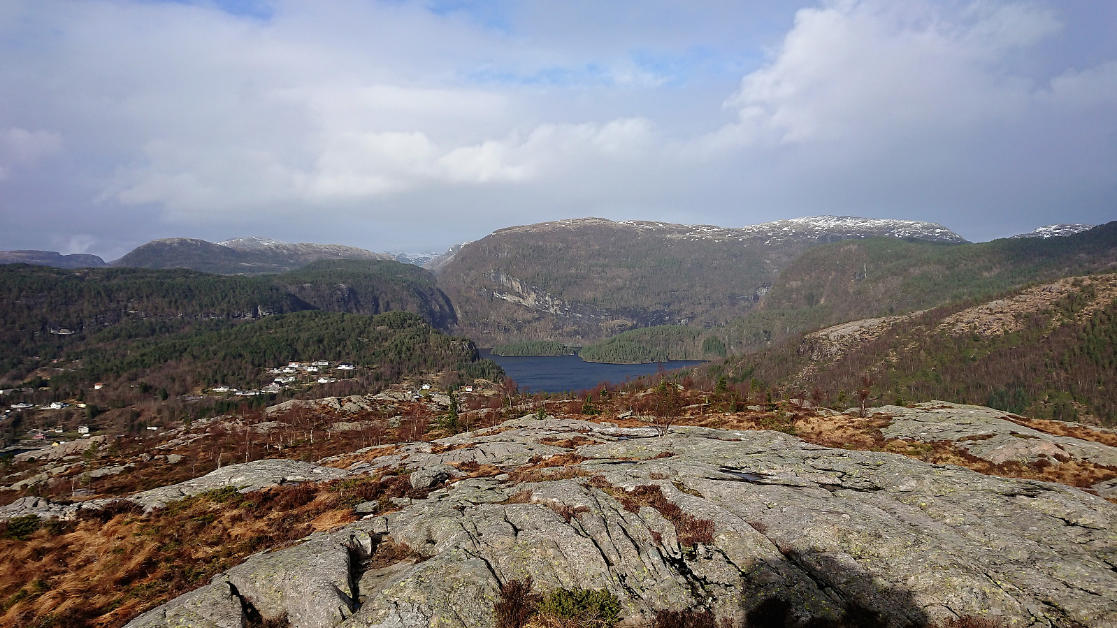
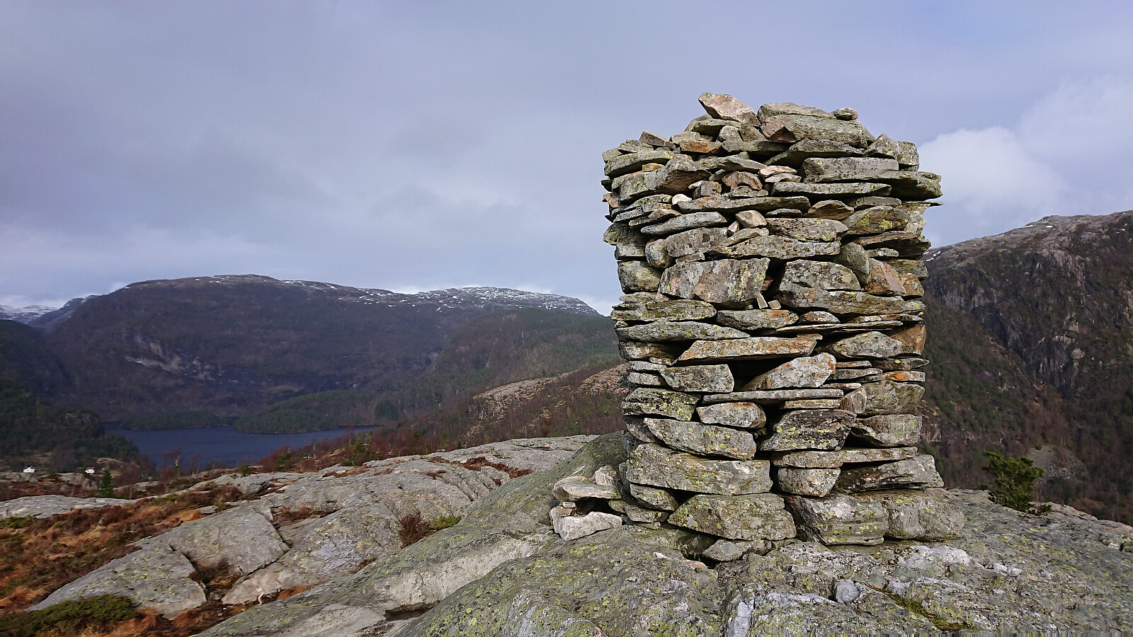
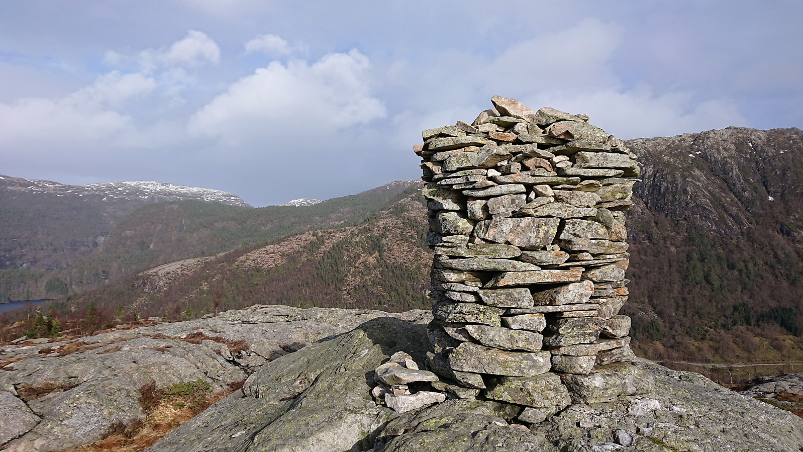
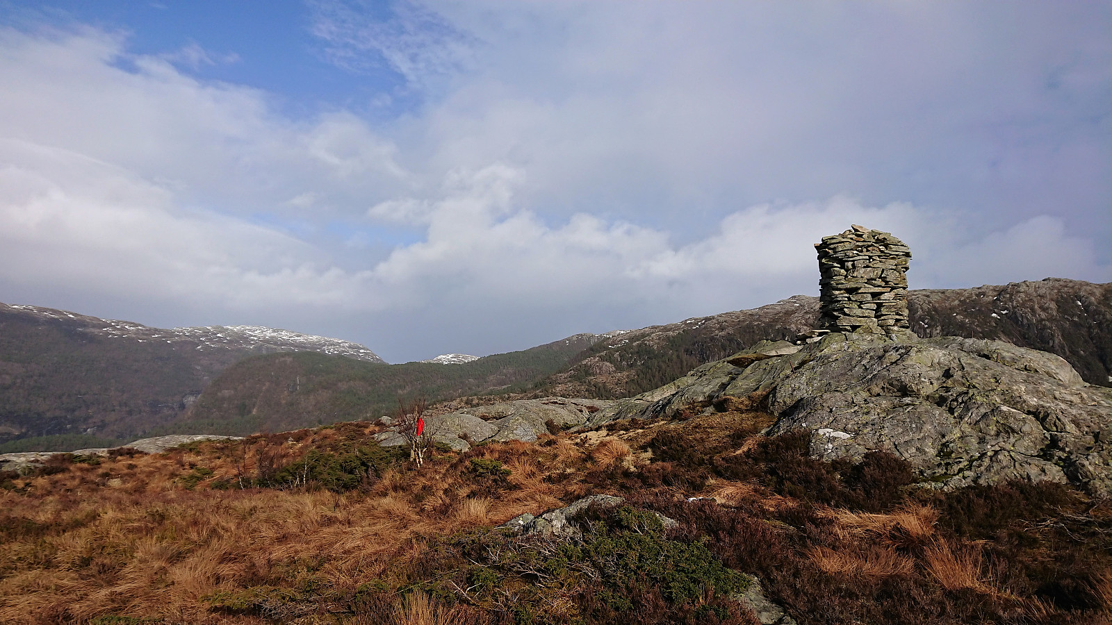
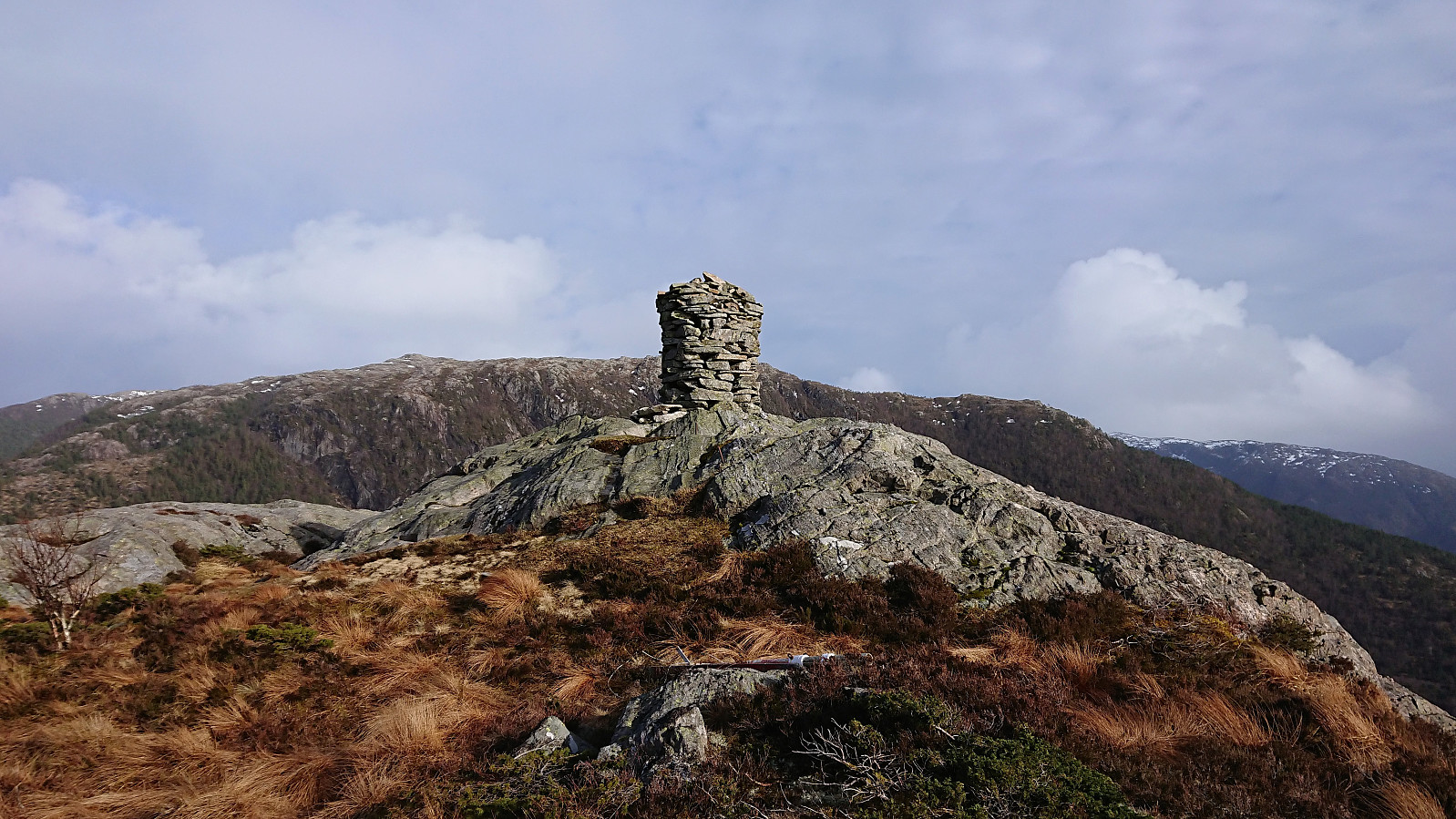
Started by taking the bus (or rather buses, including a quick visit to Fureberget) to Sørkvingo where I easily located the marked trailhead for Melshovden. The trail itself was not marked as far as I could tell, but it was straightforward to follow, although a bit slippery at times, predominantly consisting of wet rocky surfaces. Most of my ascent was out of the wind, but as I got closer to the summit the wind started to pick up and the large cairn came in handy as a shelter. Excellent views from the summit, clearly worth the long bus ride! After numerous pictures I started my descent, making it to the bus stop at Sørkvingo with 10-15 minutes to spare. In summary, a very nice short hike that can be highly recommended!
| Start date | 23.03.2019 15:39 (UTC+01:00) |
| End date | 23.03.2019 16:55 (UTC+01:00) |
| Total Time | 1h 15min |
| Moving Time | 1h 01min |
| Stopped Time | 0h 14min |
| Overall Average | 2.6km/h |
| Moving Average | 3.2km/h |
| Distance | 3.3km |
| Vertical meters | 189m |


User comments