
Six cabins southeast of Gravdalsfjellet (05.01.2019)

Written by hbar (Harald Barsnes)

| Start point | Øvre Fyllingsveien (98m) |
|---|---|
| Endpoint | Kringsjå/Holen (43m) |
| Characteristic | Hillwalk |
| Duration | 2h 13min |
| Distance | 6.6km |
| Vertical meters | 429m |
| GPS |
|
| Ascents | Gravdalsfjellet (353m) | 05.01.2019 |
|---|---|---|
| Holafjellet (286m) | 05.01.2019 | |
| Visits of other PBEs | Brattheim (266m) | 05.01.2019 |
| Holefjellet utsikt vest (303m) | 05.01.2019 | |
| Laksevåghytten (235m) | 05.01.2019 | |
| Nordnæsdalen parkering (192m) | 05.01.2019 | |
| Nordnæshytten (204m) | 05.01.2019 | |
| Rundetoppen (229m) | 05.01.2019 | |
| Sethaug (202m) | 05.01.2019 | |
| Soldathytten (215m) | 05.01.2019 | |
| Viggohytten (305m) | 05.01.2019 | |
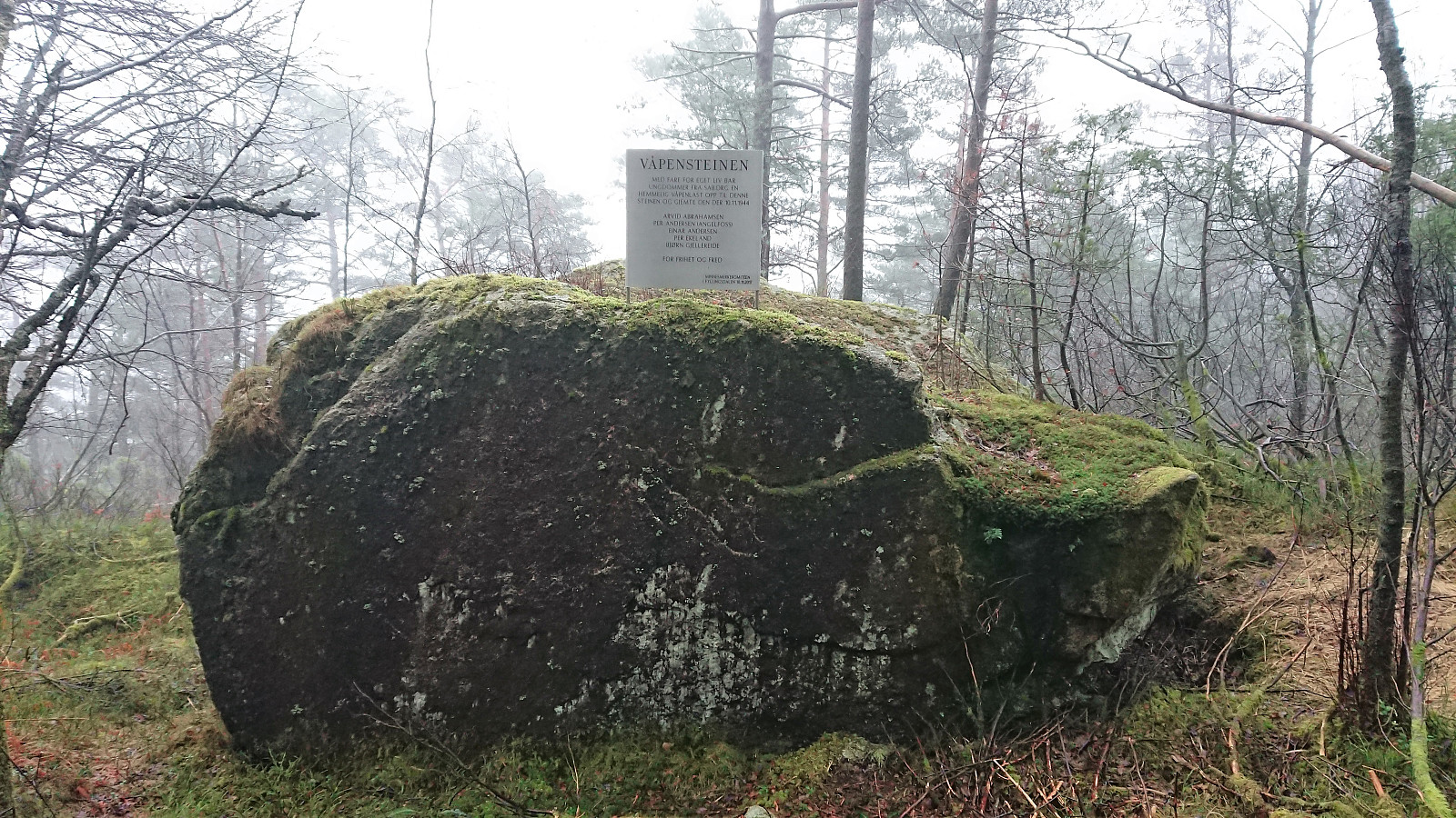
| Våpensteinen (210m) | 05.01.2019 |
Six cabins southeast of Gravdalsfjellet
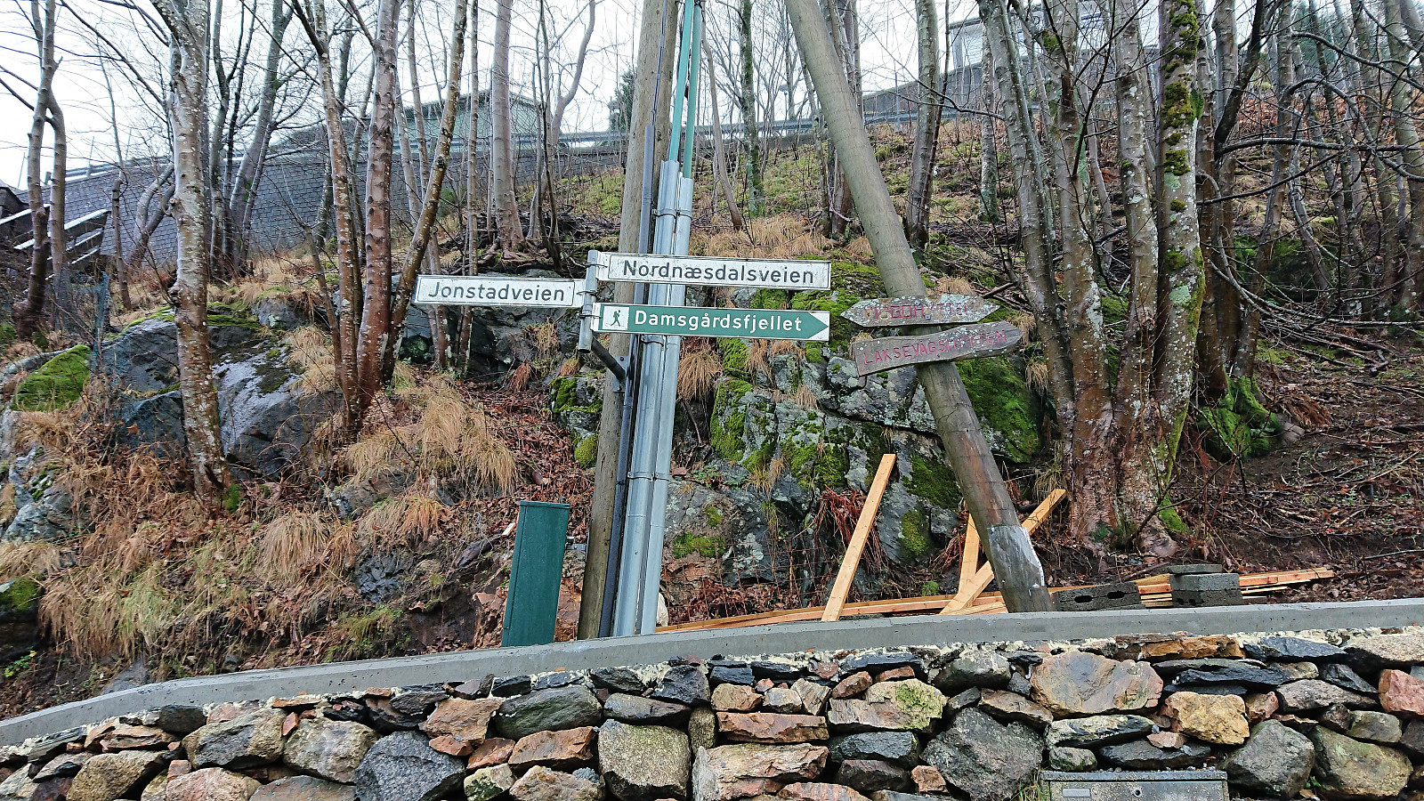
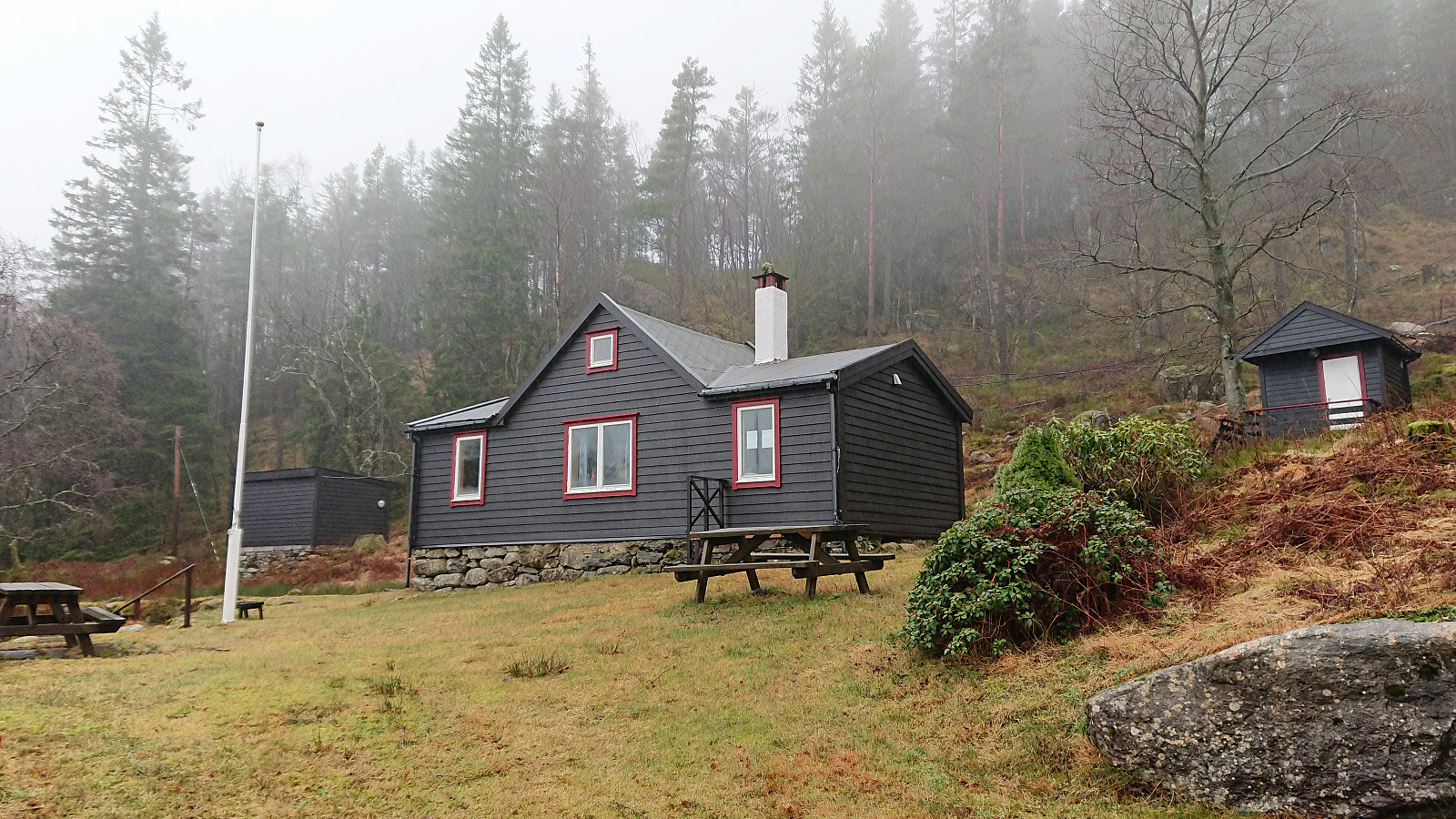
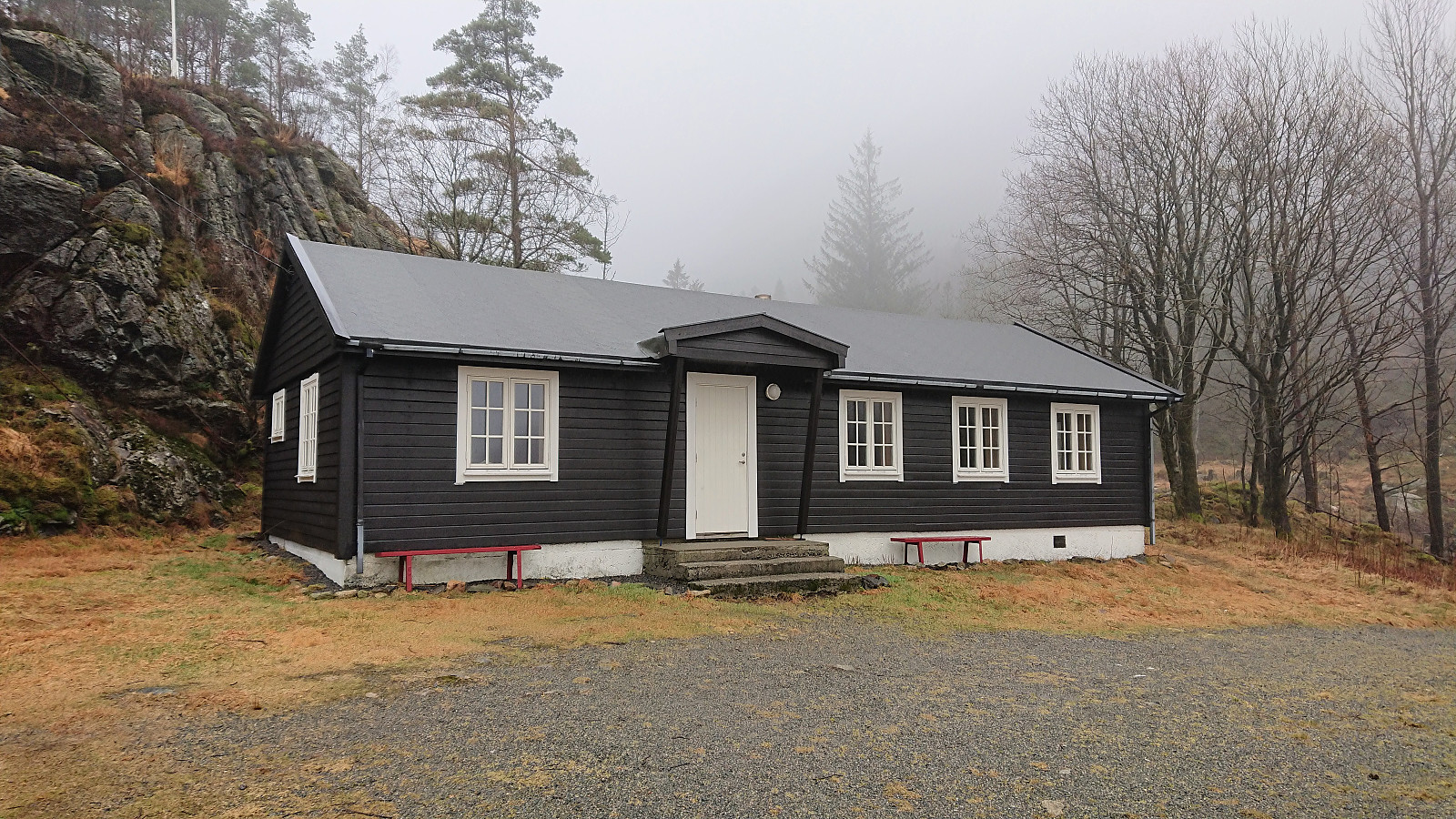
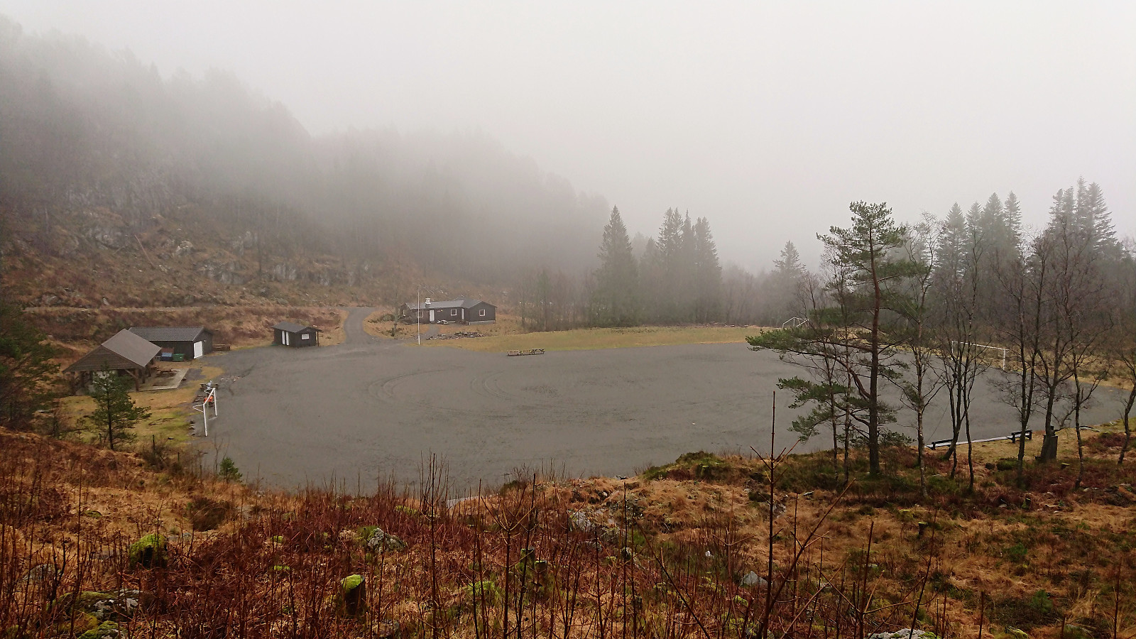
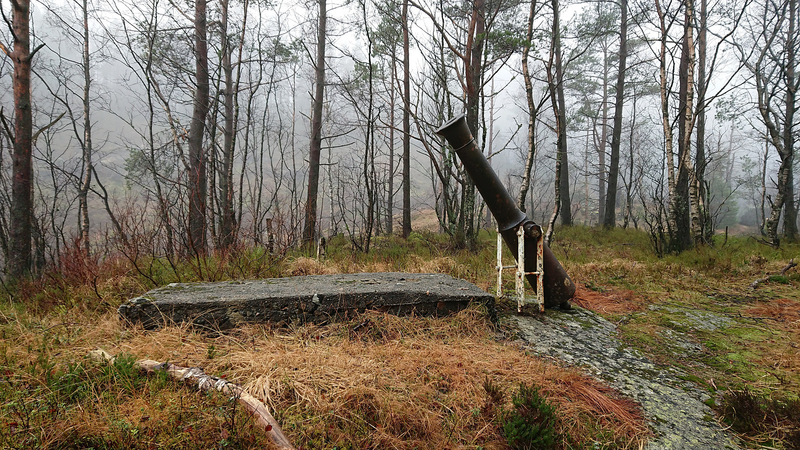
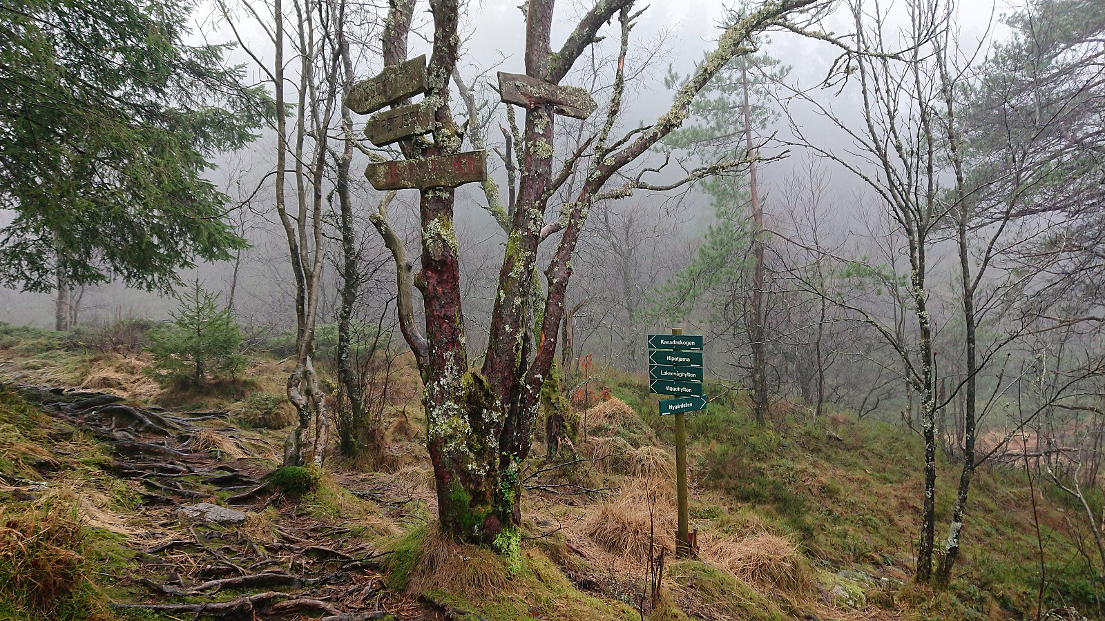
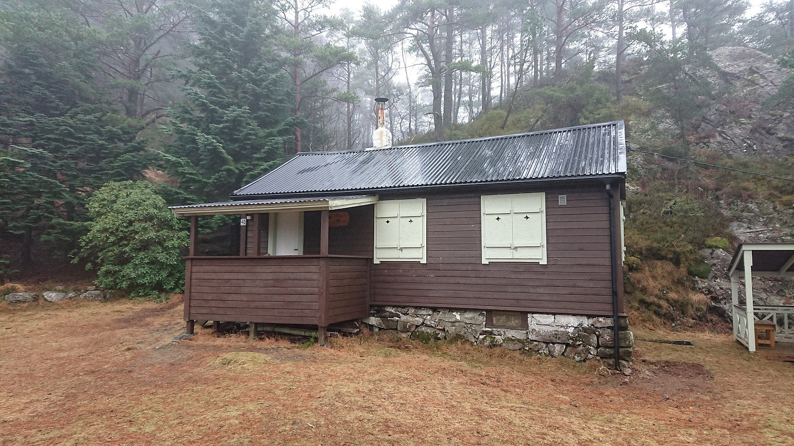
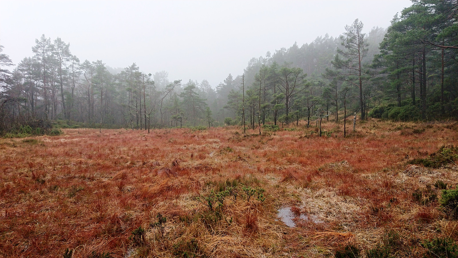
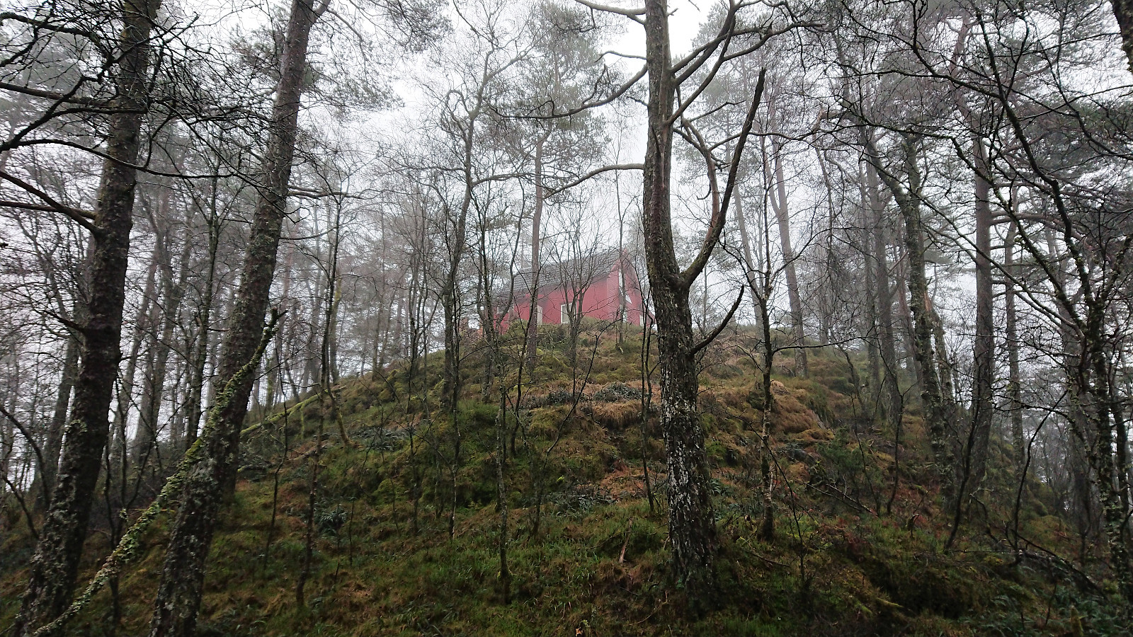
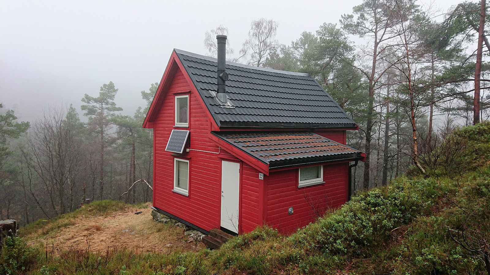
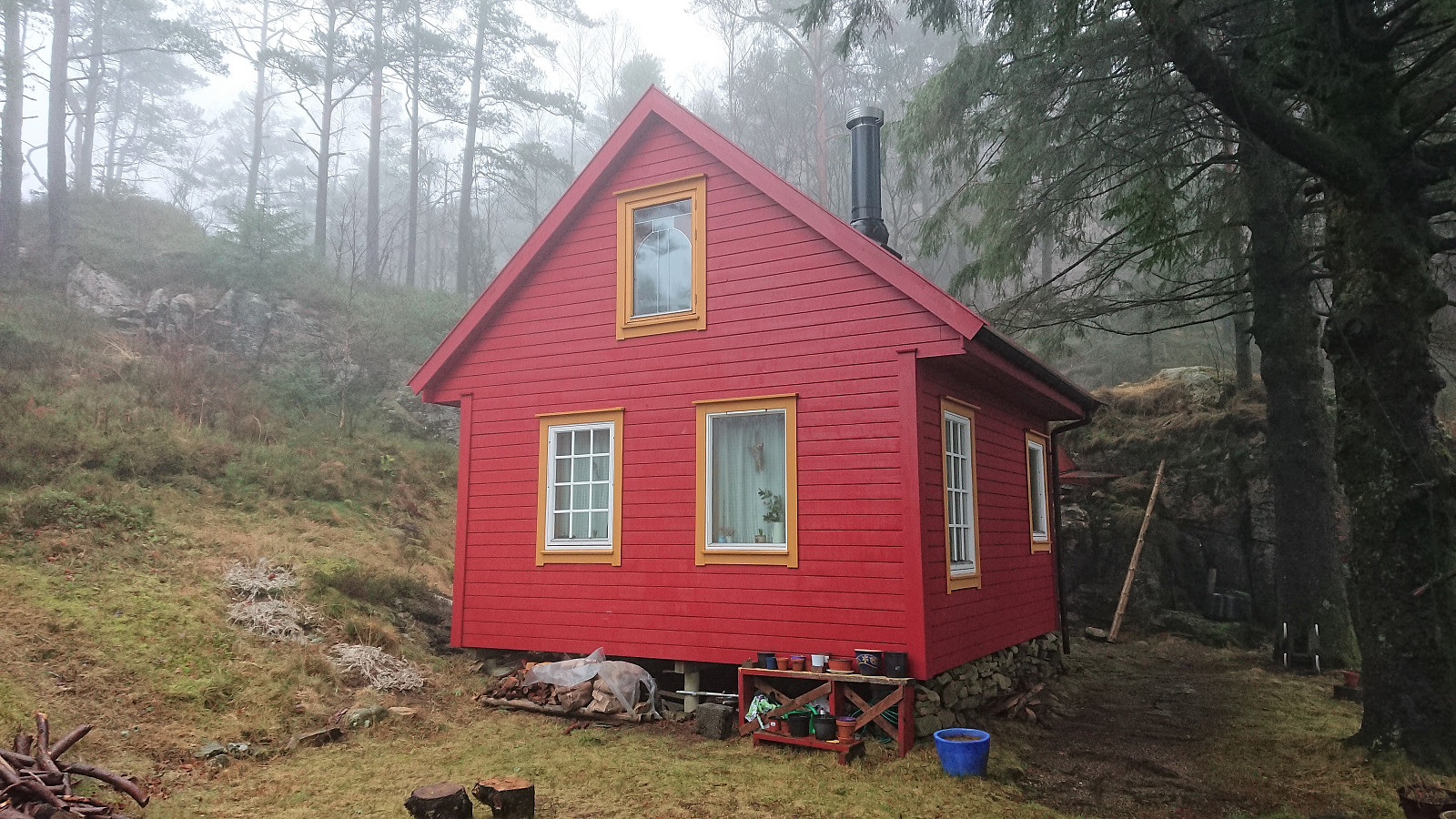
Took the bus to Fyllingsdalen and got off at the bus stop called Løvstakktunnelen (which is not inside the tunnel as the name would seem to indicate). Started by following hiking signs for Damsgårdsfjellet, soon arriving at the football field in Nordnæsdalen and the first cabins of the day: Nordnæshytten and Soldathytten. The marked trail then quickly took me to Laksevåghytten and onward to Sethaug where the trail started to get rather wet. After a quick visit to Sethaug, I followed the trail (now of better quality) west, reaching Våpensteinen before turning back and following the trail up Seljedalen for a visit to Brattheim. Finally, I passed by Viggohytten on my way up to the summit of Gravdalsfjellet, before following the ridge of Holefjellet down to Kringsjå and the bus back home to Lønborg. Overall a nice hike, mostly along ok trails, but on this day sadly with next to no views due to the dense fog.
| Start date | 05.01.2019 13:07 (UTC+01:00) |
| End date | 05.01.2019 15:21 (UTC+01:00) |
| Total Time | 2h 13min |
| Moving Time | 2h 02min |
| Stopped Time | 0h 11min |
| Overall Average | 3.0km/h |
| Moving Average | 3.2km/h |
| Distance | 6.6km |
| Vertical meters | 429m |


User comments