
Solåsen and Hagåsen (10.11.2018)

Written by hbar (Harald Barsnes)

| Start point | Lønnebakken (22m) |
|---|---|
| Endpoint | Bjørkheim (6m) |
| Characteristic | Hillwalk |
| Duration | 4h 16min |
| Distance | 18.2km |
| Vertical meters | 856m |
| GPS |
|
| Ascents | Hagåsen (358m) | 10.11.2018 |
|---|---|---|
| Solåsen (290m) | 10.11.2018 |
Solåsen and Hagåsen
I wanted to cover both Solåsen and Hagåsen with a single continuous hike, which seemed reasonable given their close proximity. But from what I could tell, all of the hiking reports on PB ascended Hagåsen from the southwest. I was therefore very happy to find arntfla (Arnt Flatmo) external report (http://www.westcoastpeaks.com/Peaks/hagaasen.html) indicating a trail towards Hagåsen from the northeast.
Having found this missing piece of the puzzle, I got up way too early on a Saturday morning and took the first bus toward Haga, getting off at the last bus stop before Hagåstunellen (bus stop: Lønnebakken). From there I walked along the smaller roads before starting my descent up Hagabakkene.
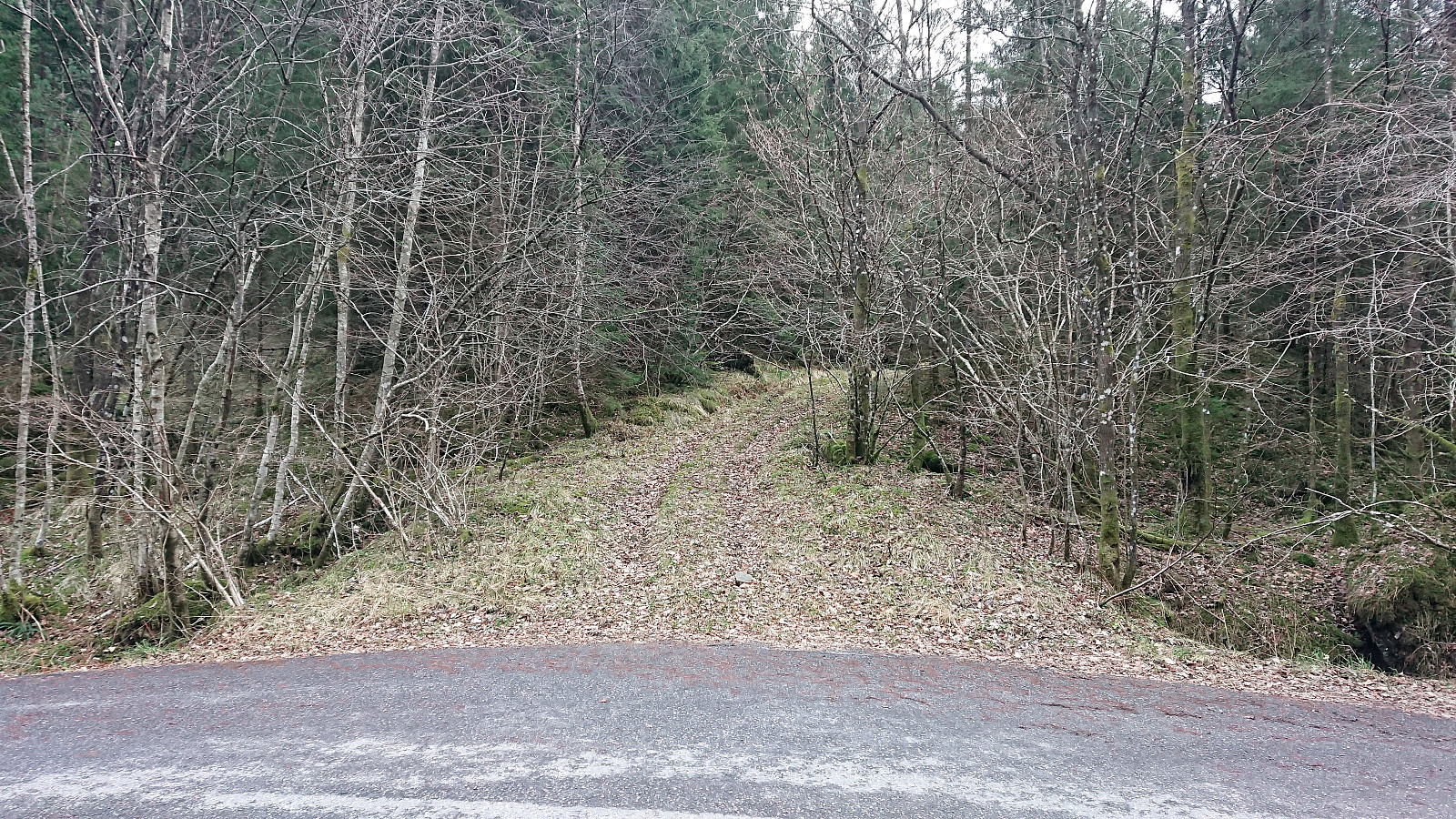
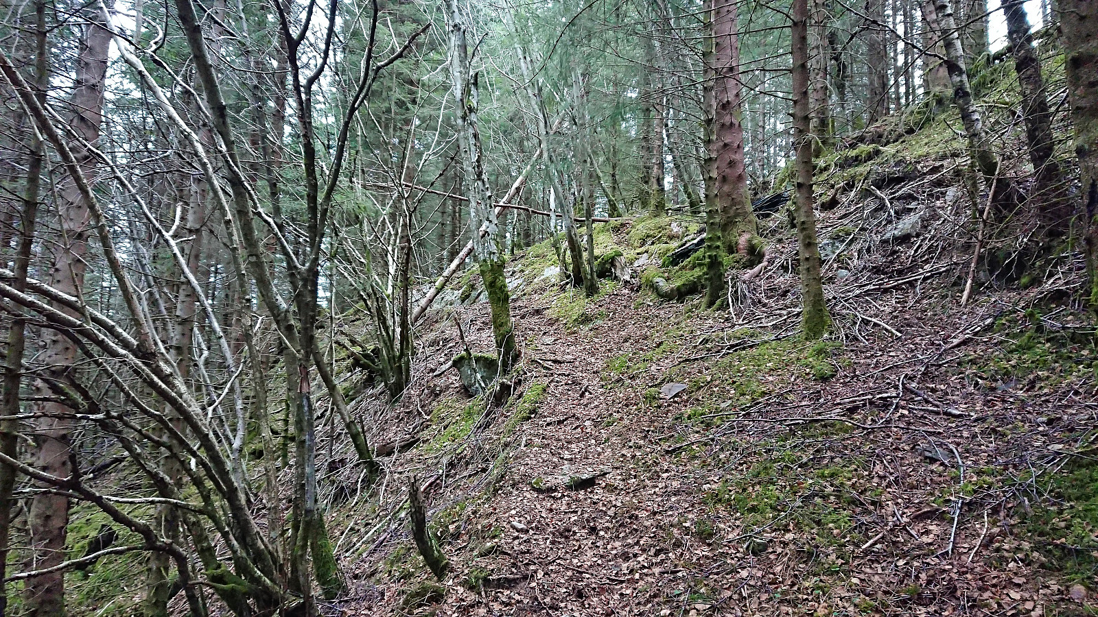
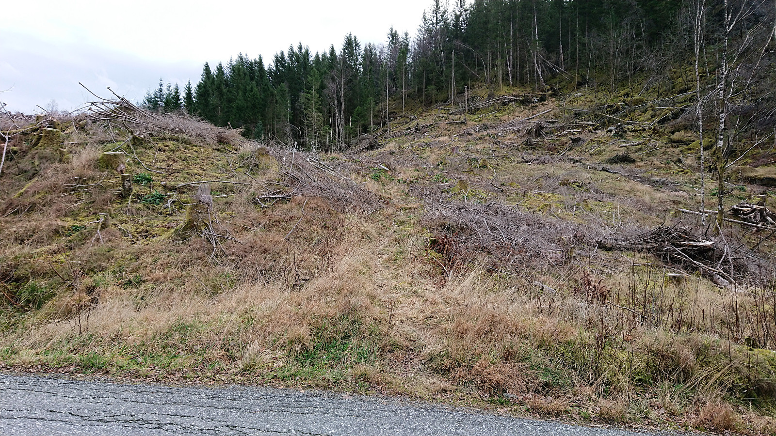
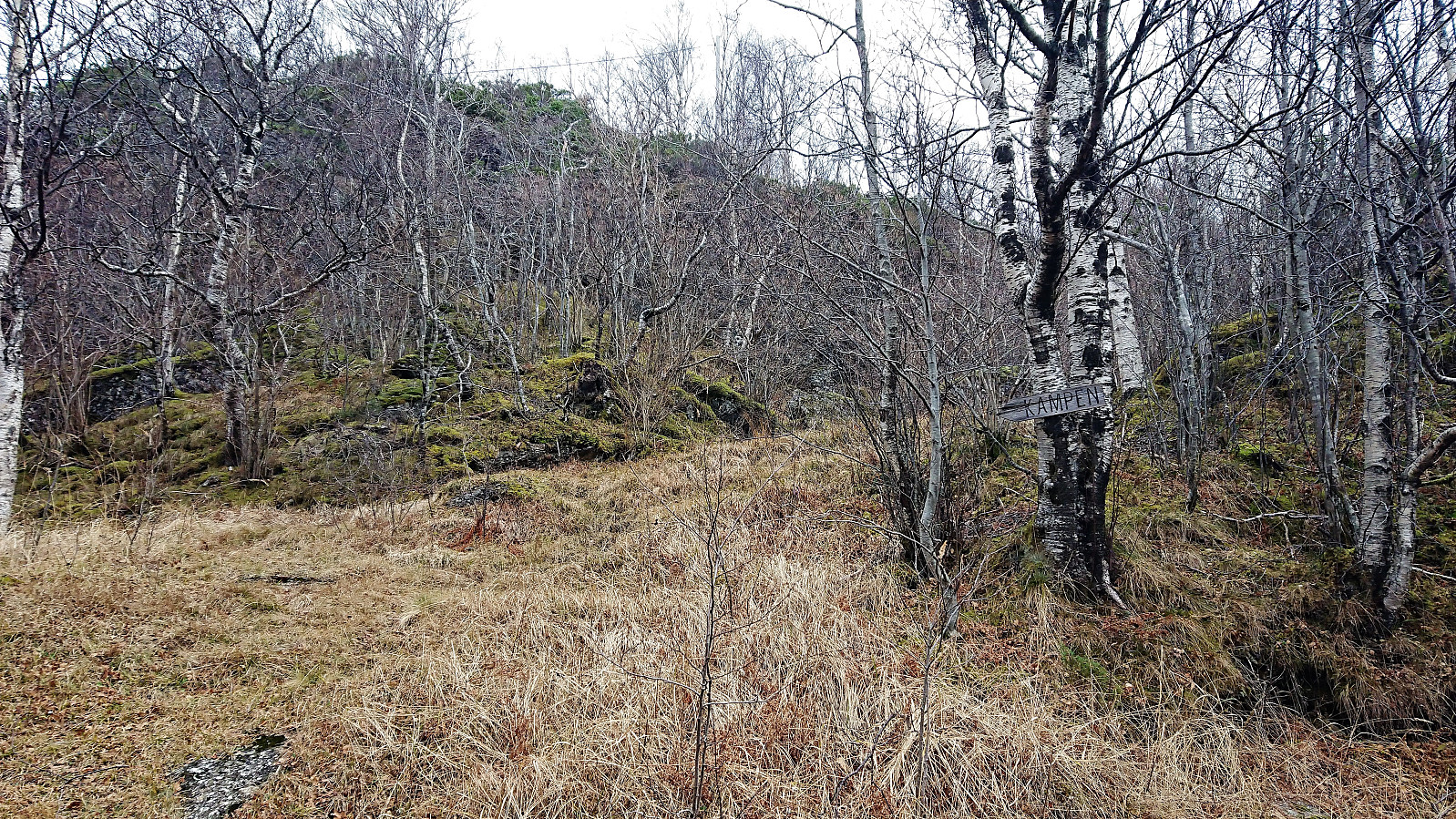
Just before the road started heading downward again, I noticed an unmarked trail heading south. After conferring with the GPS, I was pretty convinced that this had to be the trail arntfla (Arnt Flatmo) was referring to. Even though there were a lot less trees than what I remembered from his picture of the trailhead. Which may also explain why the sign was no longer to be found, as it had been nailed to one of the now removed trees. In any case, my plan was to first go to Solåsen, so the exploration of this trail would have to wait.
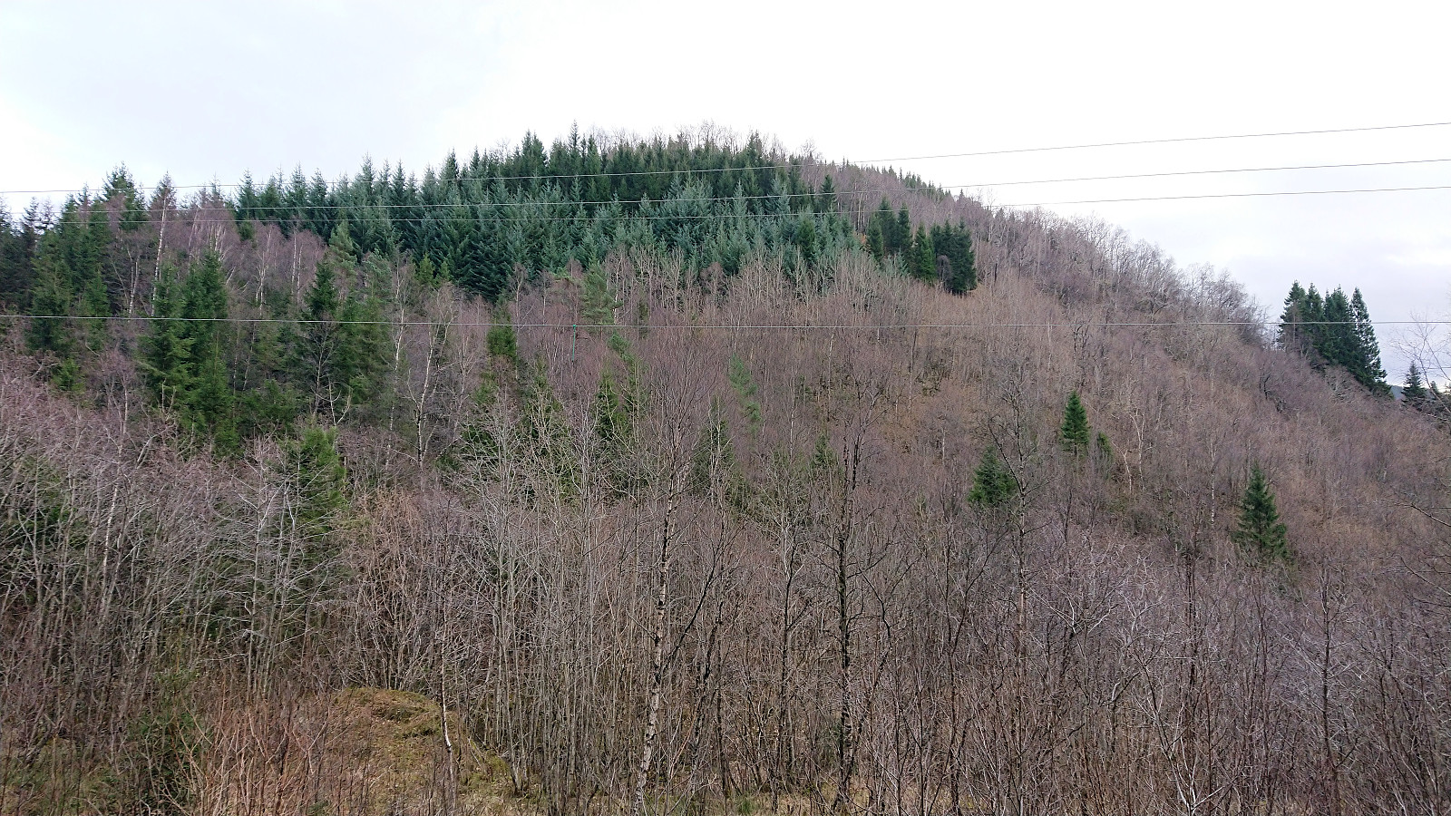
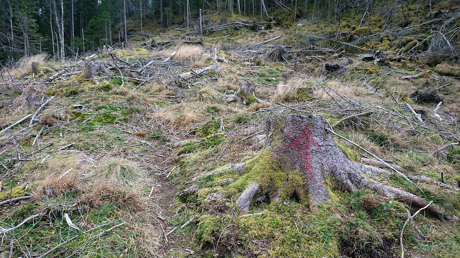
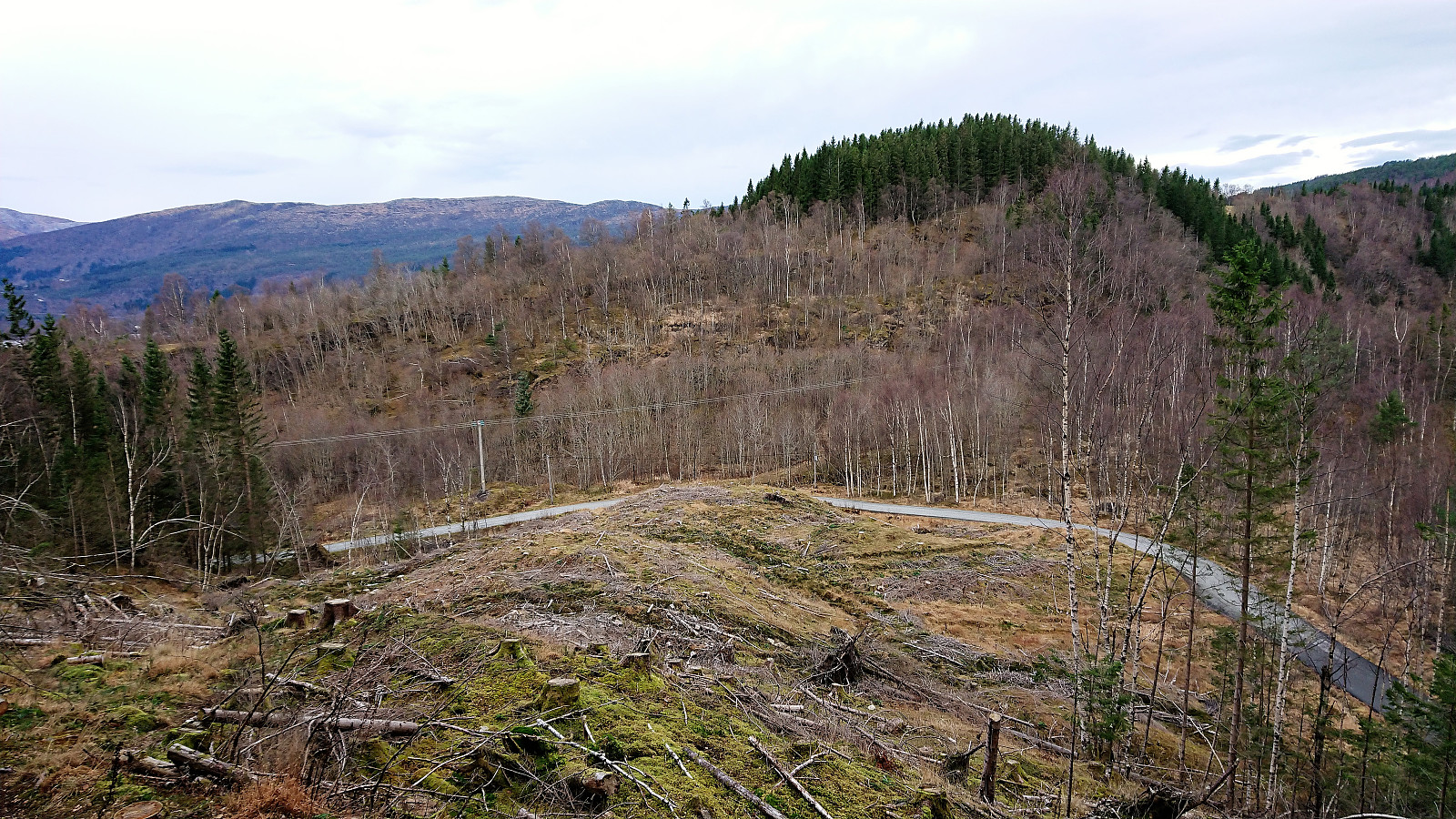
I continued north, and down, along the road until reaching the tractor road east of Solåsen. The tractor road could be followed longer than expected, though in a different route (or maybe in addition to) the one shown on the map. But as the road flattened out, after turning south for the second time, I left the road behind and headed straight for the summit, following what at first looked like a trail, but soon turned into deer tracks.
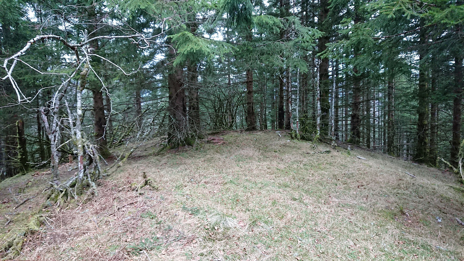
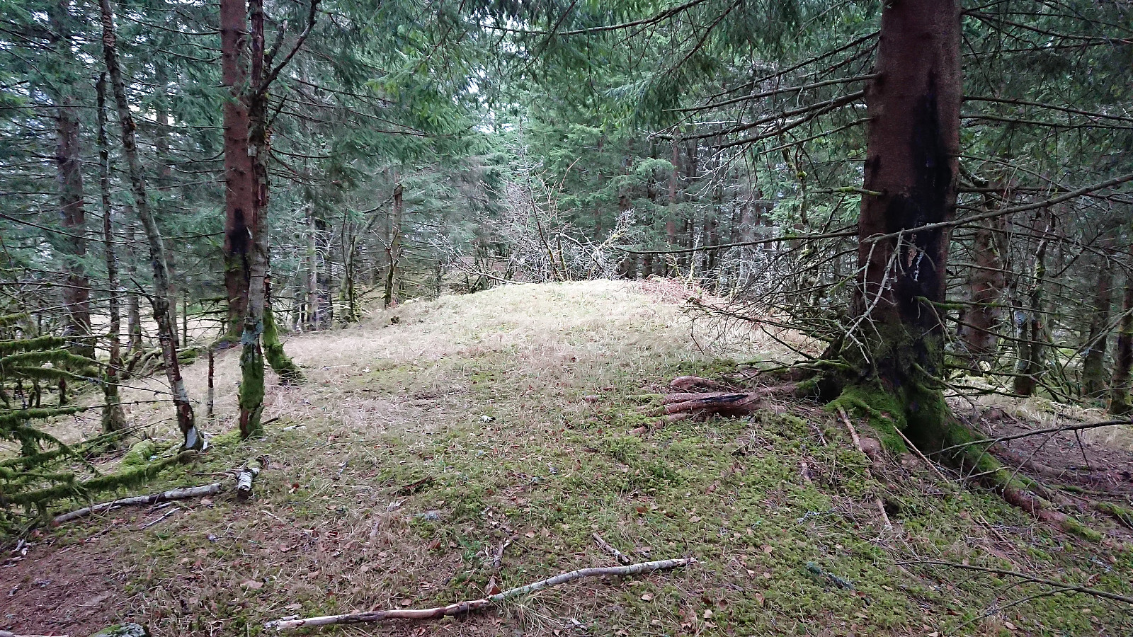
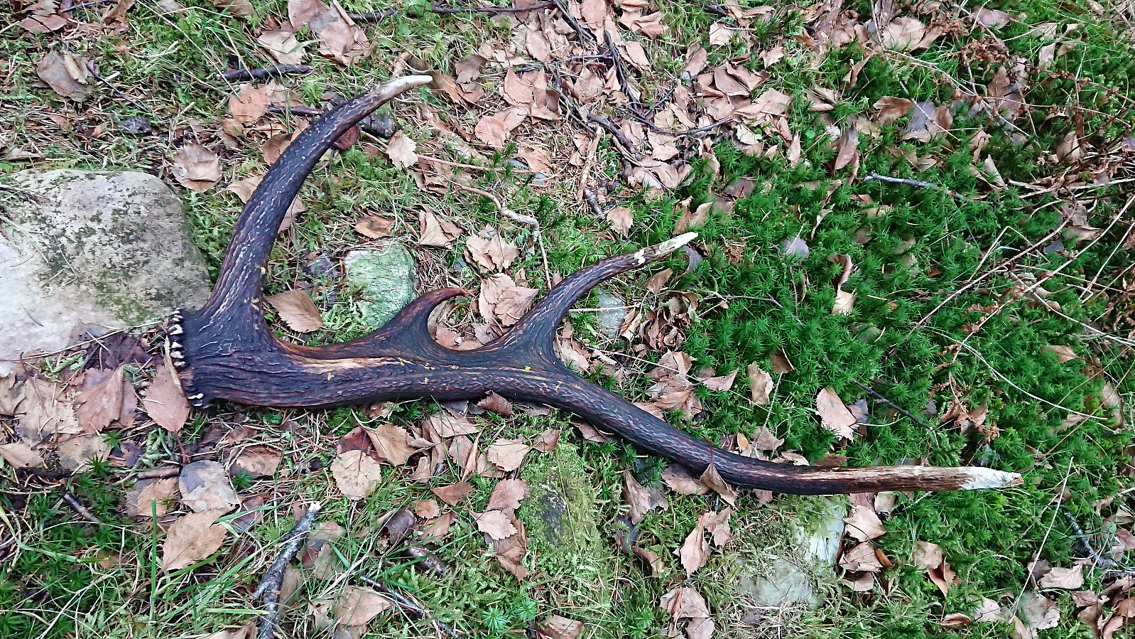
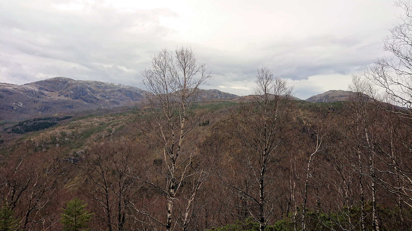
By switching between different deer tracks, the summit was reached with less difficulty than expected. Limited views from the summit, although slightly better views could be obtained by moving a bit toward the south. Did not stay long before following more or less the same route back down, with the closest I got to any deer being a discarded antler.
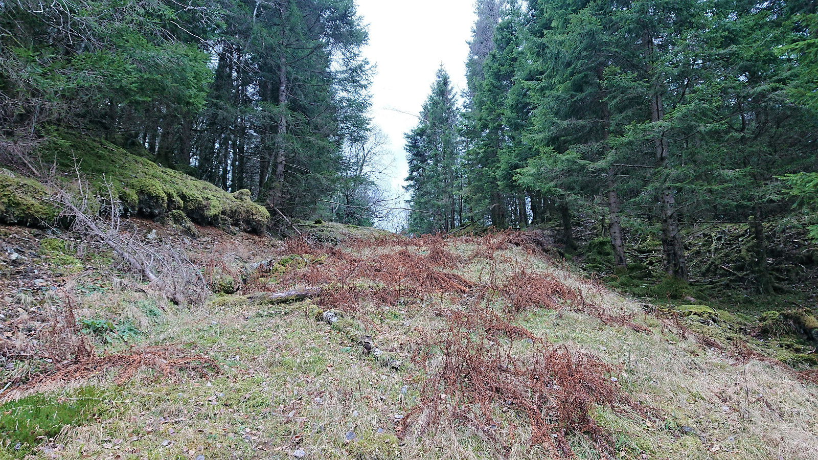
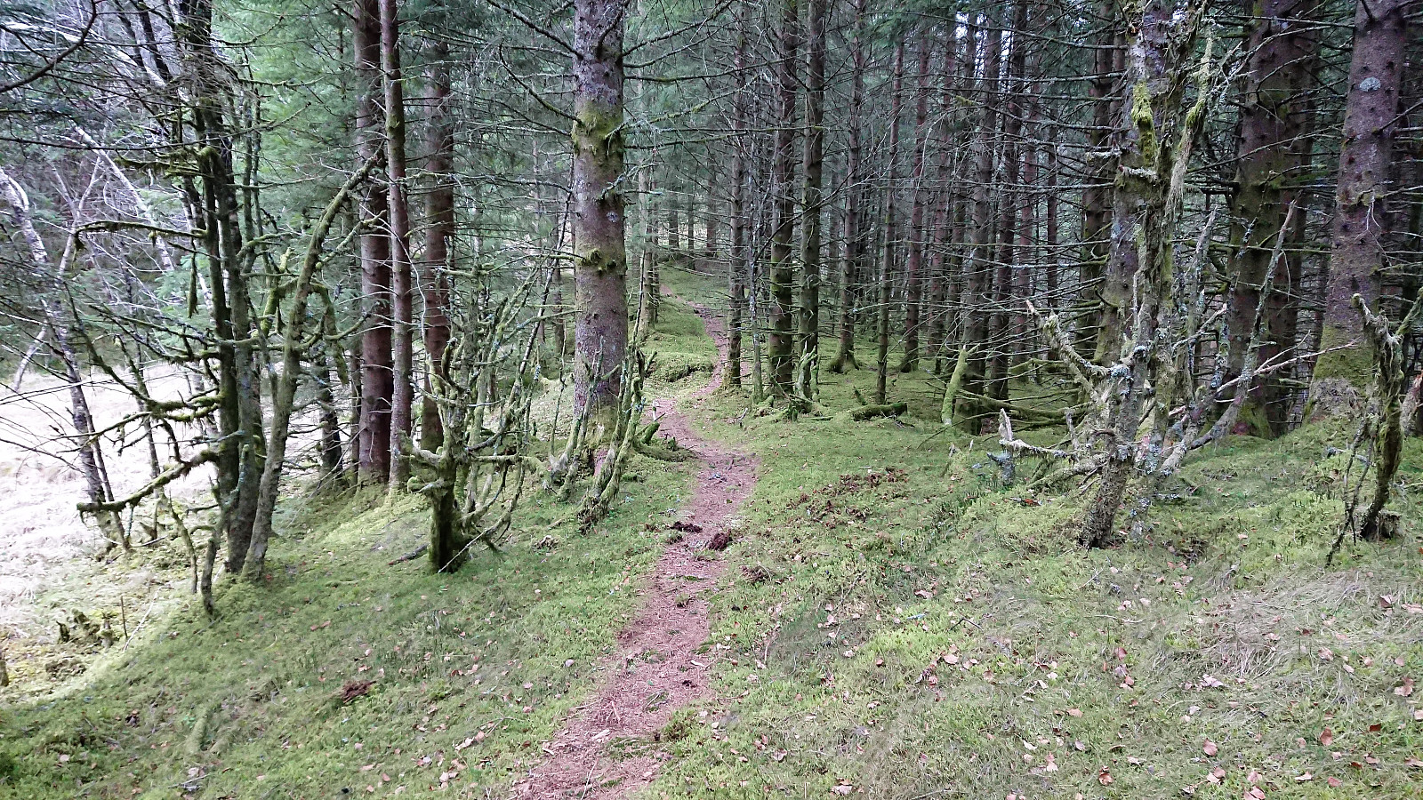
Now it was time for the next part of my plan: ascending Hagåsen from the north. I quickly returned to the unmarked trail, and was happy to see another hiker further on up the trail. Hopefully a good indication that the trail was of ok quality. After all, it was almost 15 years since the last reported use of this trail. But soon signs with Hagåsen also started showing up, and the trail was clearly relatively frequently used.
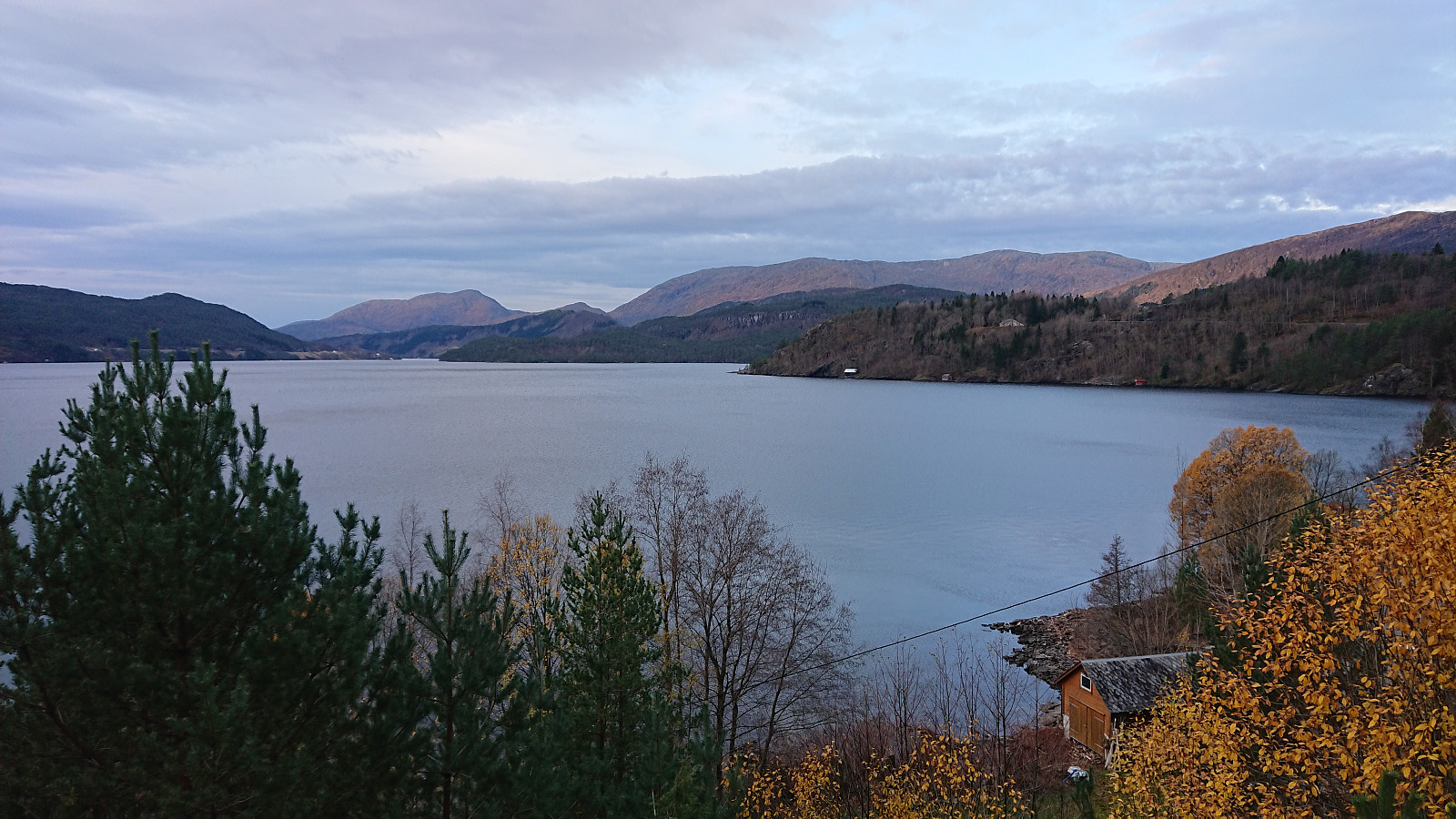
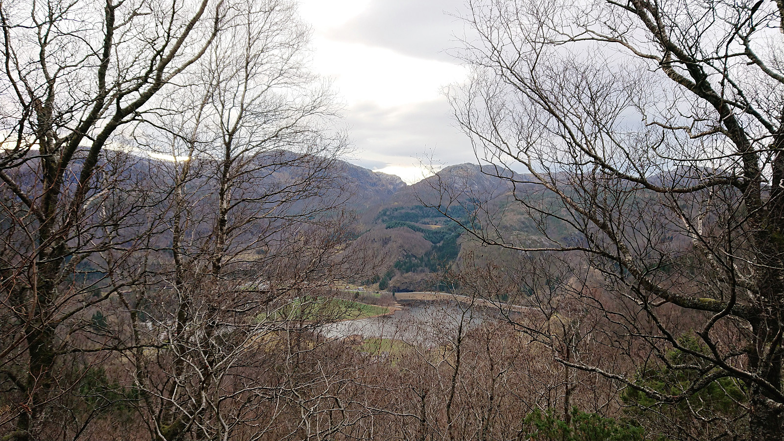
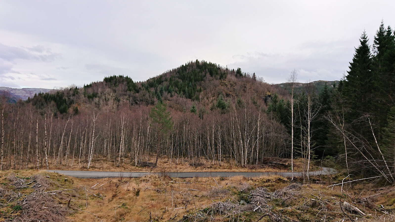
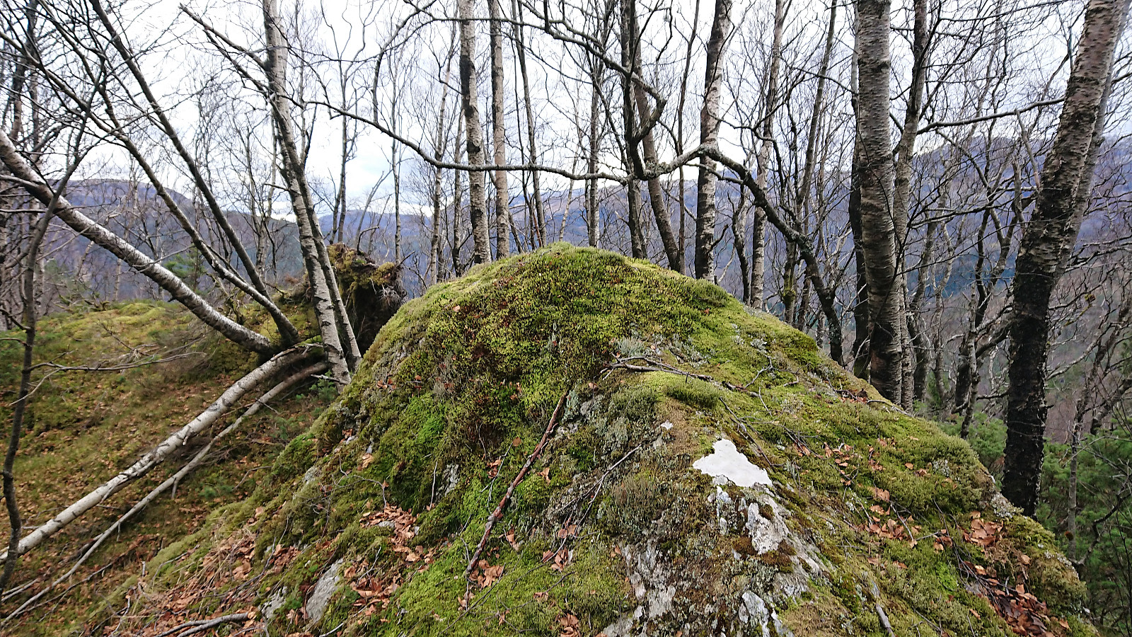
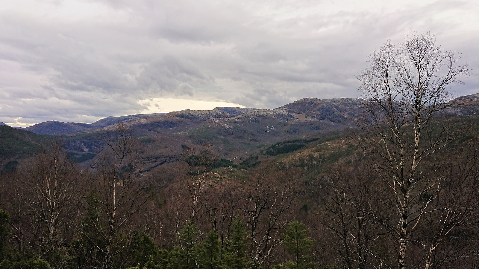
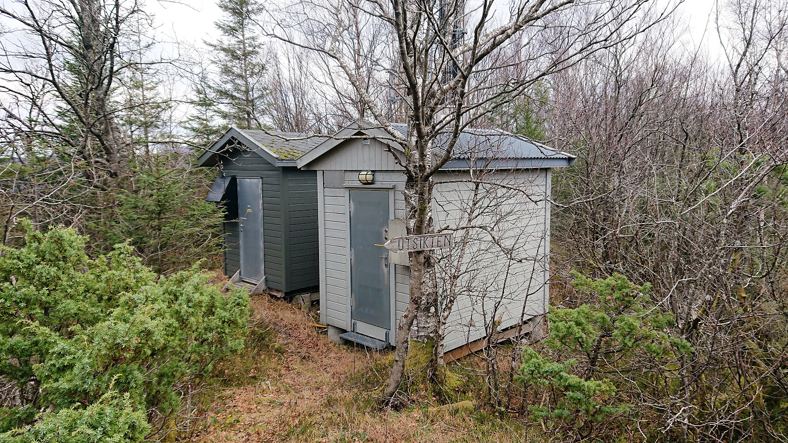
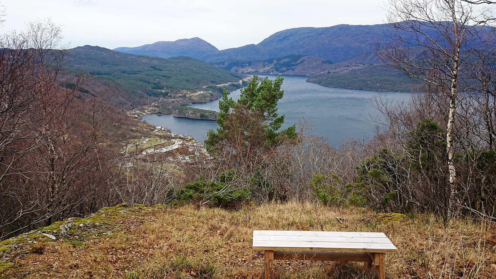
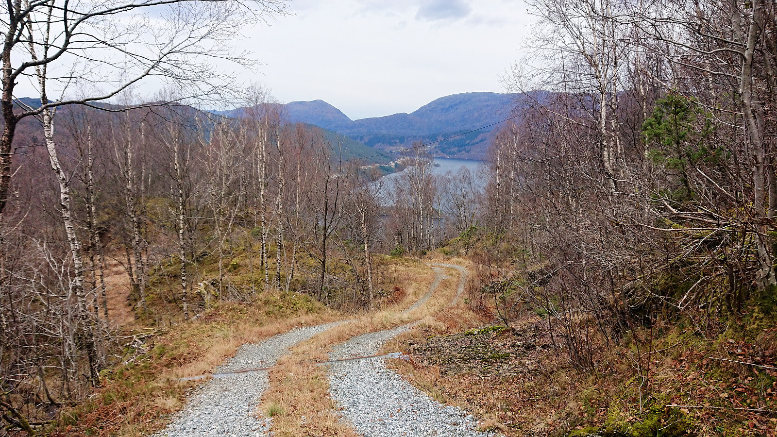
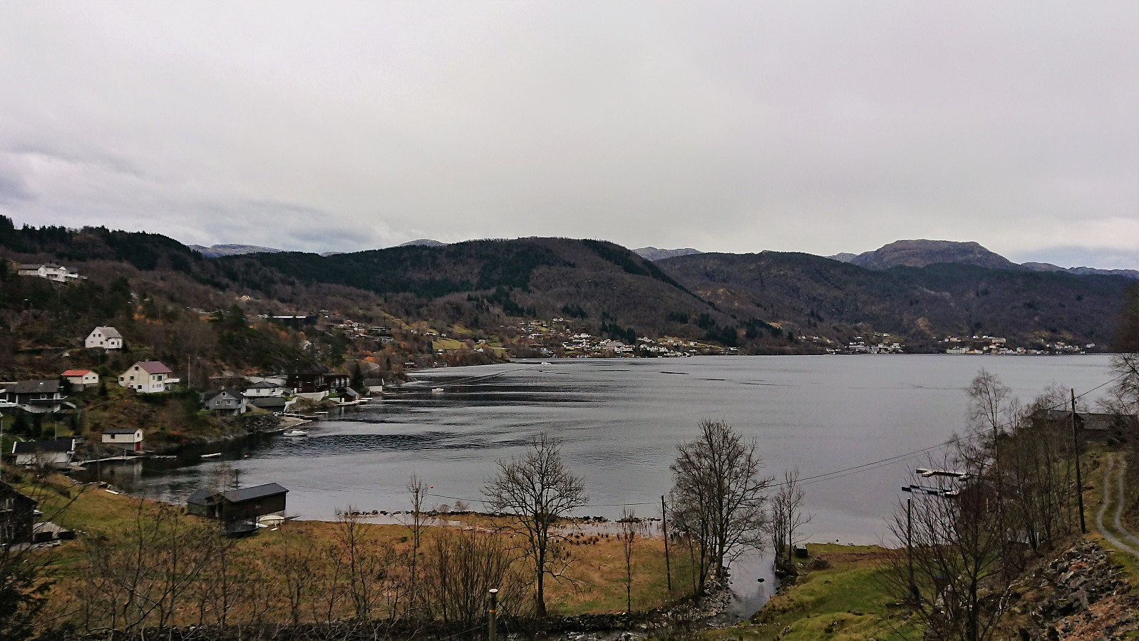
Overall, the trail was easy to follow and I soon arrived at Hagåsen, only leaving the trail for a short detour to the potentially slightly higher point to the northeast. The summit itself provided surprisingly nice views toward the higher mountains to the east, while a separate marked viewpoint, just southwest of the summit, provided equally nice views to the west. In total, much better views than expected.
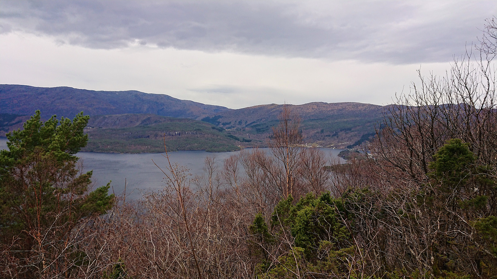
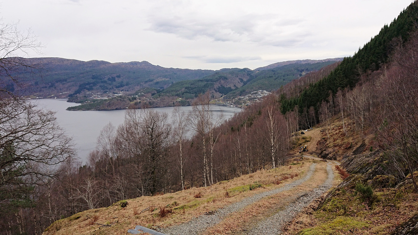
I was now left with two option: either return northeast or continue southwest toward Tysse. In order to make my hike into more of a roundtrip, I decided on the latter, and shortly reached the gravel road taking me down to Tysse. From there I walked along the road back to where the hike had started. No sidewalks, except at the beginning, but also very limited traffic.
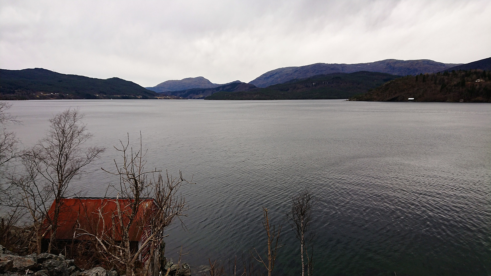
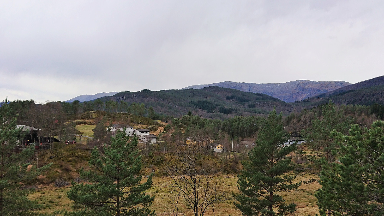
For a while I had realized that I for once had greatly overestimated how long this hike would take. Probably due to not factoring in how much of it would be walking along roads, where the speed would generally be much higher. I therefore now had almost two hours until the next bus... Really no point in waiting around that long, so instead I continued toward Bjørkheim. While perhaps not the most exciting, the views along the way were quite nice. That there was close to no traffic on these smaller roads also helped.
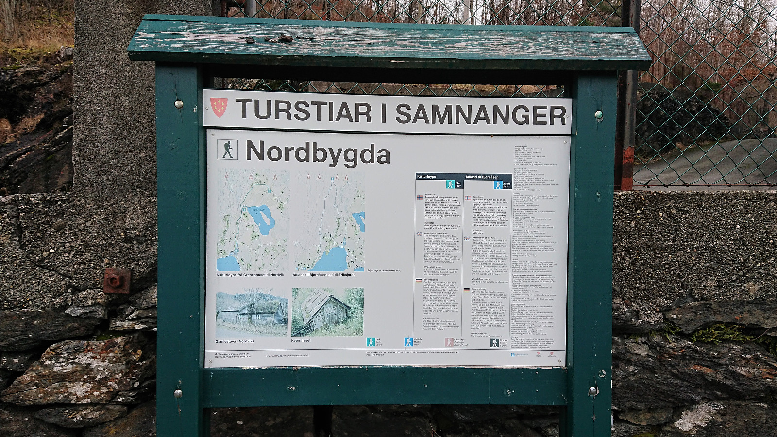
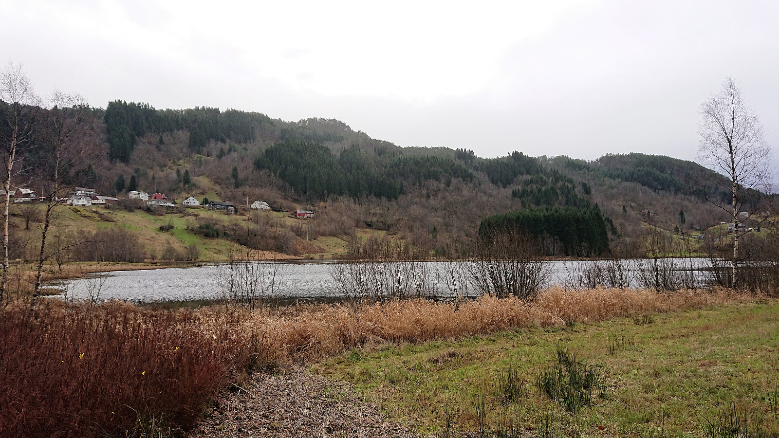
Upon reaching Bjørkheim I still had almost an hour to spare. After a quick pit stop at the gas station, I therefore continued a bit further until seeing a sign about a trail to Nordvikavatnet, to which I made a short detour. Nothing special, but better than just waiting at the bus stop. After returning from Nordvikavatnet, it was finally time for the bus ride back to Bergen.
In summary, a longer hike than expected but along better trails than anticipated. Even Solåsen was pretty straightforward to ascend. But a visit there can easily be skipped for most "normal" hikers. Better to leave this one to the deer. Hagåsen on the other hand clearly has more visitors, and while the views were better than expected, it is probably the kind of summit that predominantly only the locals visit more than once. But if visiting Hagåsen, the trail from the north is definitely a good alternative to the more commonly used trail from the south.
| Start date | 10.11.2018 09:12 (UTC+01:00) |
| End date | 10.11.2018 13:28 (UTC+01:00) |
| Total Time | 4h 16min |
| Moving Time | 4h 07min |
| Stopped Time | 0h 9min |
| Overall Average | 4.3km/h |
| Moving Average | 4.4km/h |
| Distance | 18.2km |
| Vertical meters | 856m |


User comments