
Slettegga and Nobbane (11.08.2018)

Written by HHauser (Helwig Hauser)

| Start point | Bontveit saddle parking (300m) |
|---|---|
| Endpoint | Bontveit saddle parking (300m) |
| Characteristic | Hillwalk |
| Duration | 3h 00min |
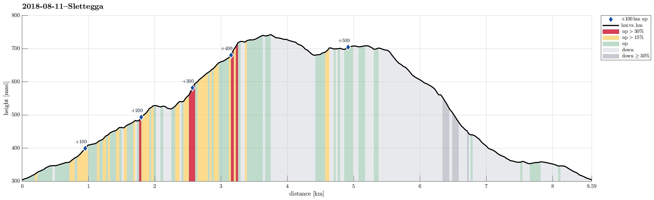
| Distance | 8.6km |
| Vertical meters | 526m |
| GPS |
|
| Ascents | Nobbane (711m) | 11.08.2018 |
|---|---|---|
| Slettegga (742m) | 11.08.2018 | |
| Visits of other PBEs | Bjørnastølen (376m) | 11.08.2018 |
| Bontveit parkering (304m) | 11.08.2018 | |
| Domus Medica (353m) | 11.08.2018 | |
| Hjelpekorpshytten (363m) | 11.08.2018 | |
| Vinterlund (privat) (335m) | 11.08.2018 |
Trip Summary
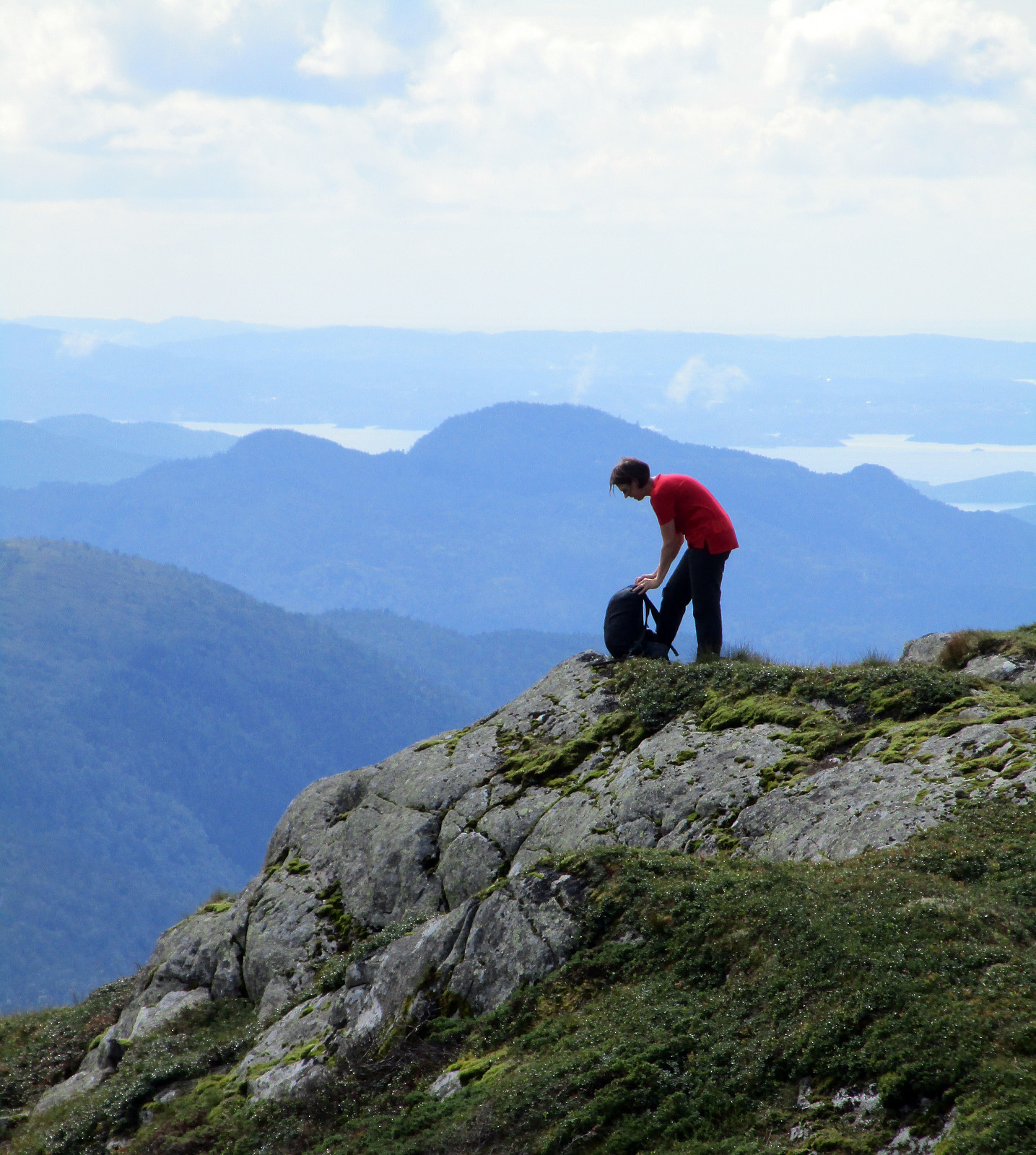
We parked at the Bontveit saddle (where the street crosses over to Hausdalen). From there, we first followed a gravel road that leads northwards. At about 360mosl, we continued along the road, which leads relatively steeply up to Langemyrskaret on the left. Once up there, we continued along the road first, before then following a path, which leads up to Rambjørgvatnet. From there, we started our real ascent to Slettegga, going in northeastern direction. Getting higher, we enjoyed some dramatically looking views into the direction of Arna (the weather was not all sunny). From the top of Slettegga, we first continued along a path, leading into the direction of Austefjellet. Soon after, however, we left the path to cross over to Nobbane, right next to Slettegga and a little lower in altitude. At Nobbane, we were impressed by the very nice views over Dyrdalen. Since time started to get short for us, we decided at Nobbane to go back (instead of making a longer hike over Austefjellet and Hausdalshorgi). So we descended directly from Nobbane in southern direction and reached Bjørnastølen after a while. From there, we basically took the road back, which we had taken in the first place to get into this nice mountain area, close to the city of Bergen!
Photos
Selected photos are available as Google photo album.
Useful Resources
See also the related FB-page Hiking around Bergen, Norway.
Web page WestCoastPeaks.com provides useful information about Sletteggi.


User comments