
Eggene (26.05.2018)

Written by hbar (Harald Barsnes)

| Start point | Bahus (61m) |
|---|---|
| Endpoint | Bahus (61m) |
| Characteristic | Hillwalk |
| Duration | 1h 55min |
| Distance | 5.6km |
| Vertical meters | 257m |
| GPS |
|
| Ascents | Eggene (198m) | 26.05.2018 |
|---|---|---|
| Visits of other PBEs | Eggene trigpunkt (188m) | 26.05.2018 |
Eggene
After Runemb (Rune Blomberg) recent addition of a new peak on the Bergen ≥ 50m pf. og ≥ 100 m.o.h. list, there was nothing to do but make a new hike to recomplete the list.
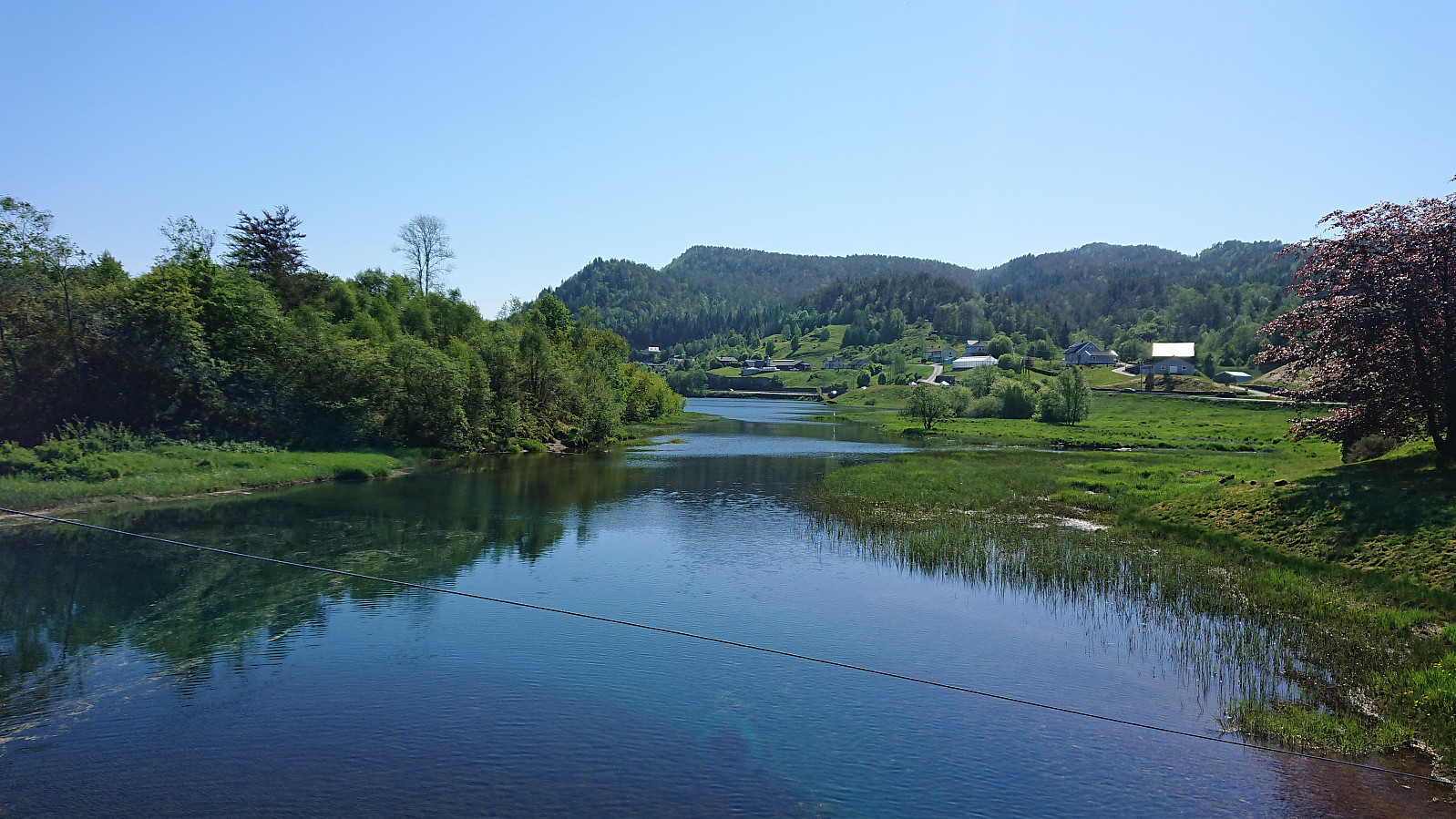
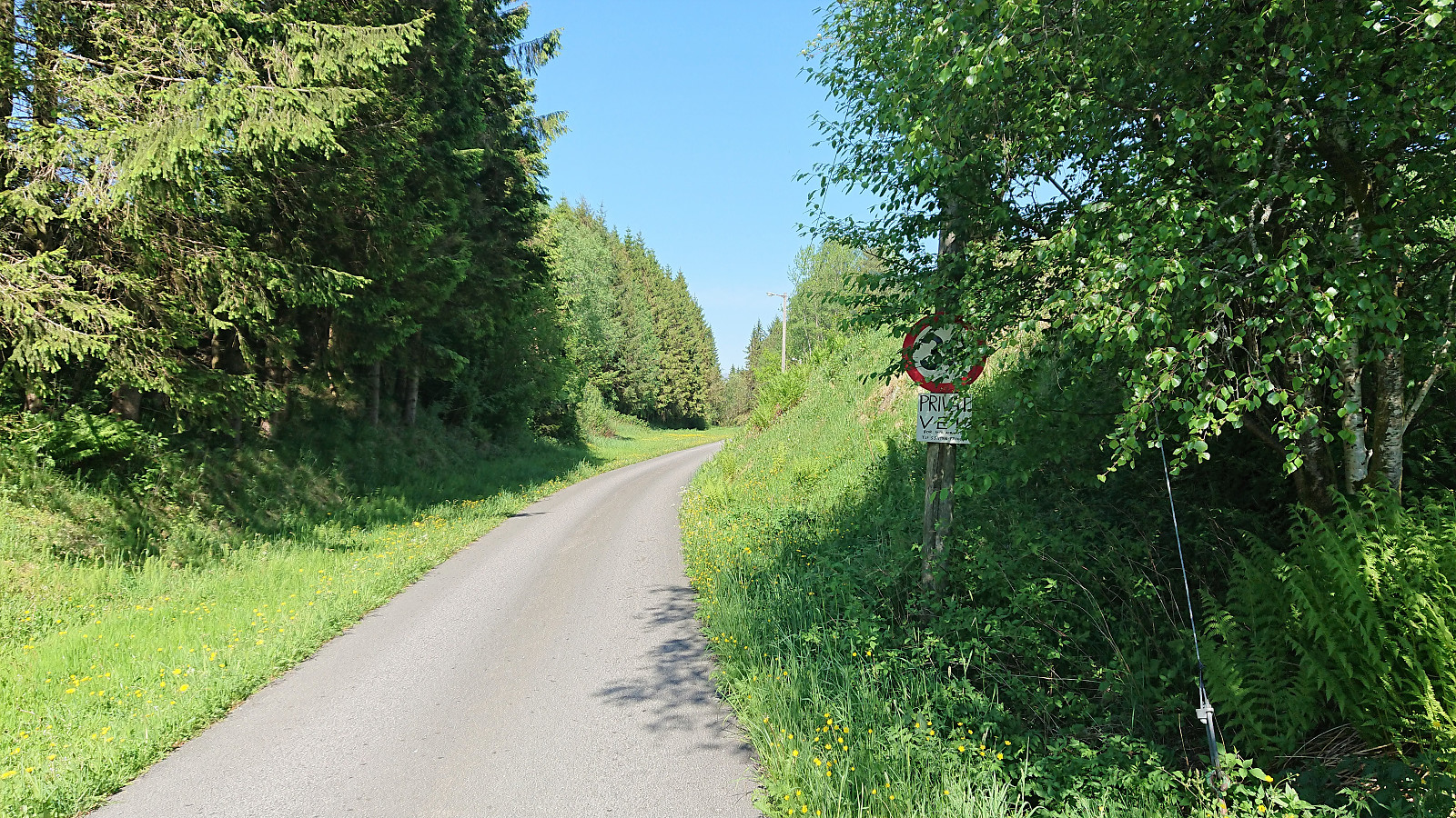
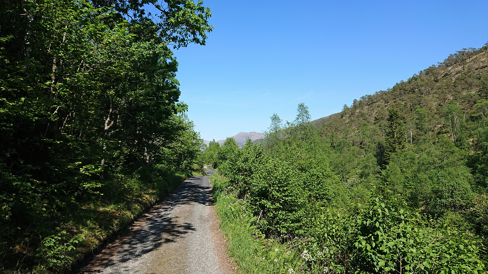
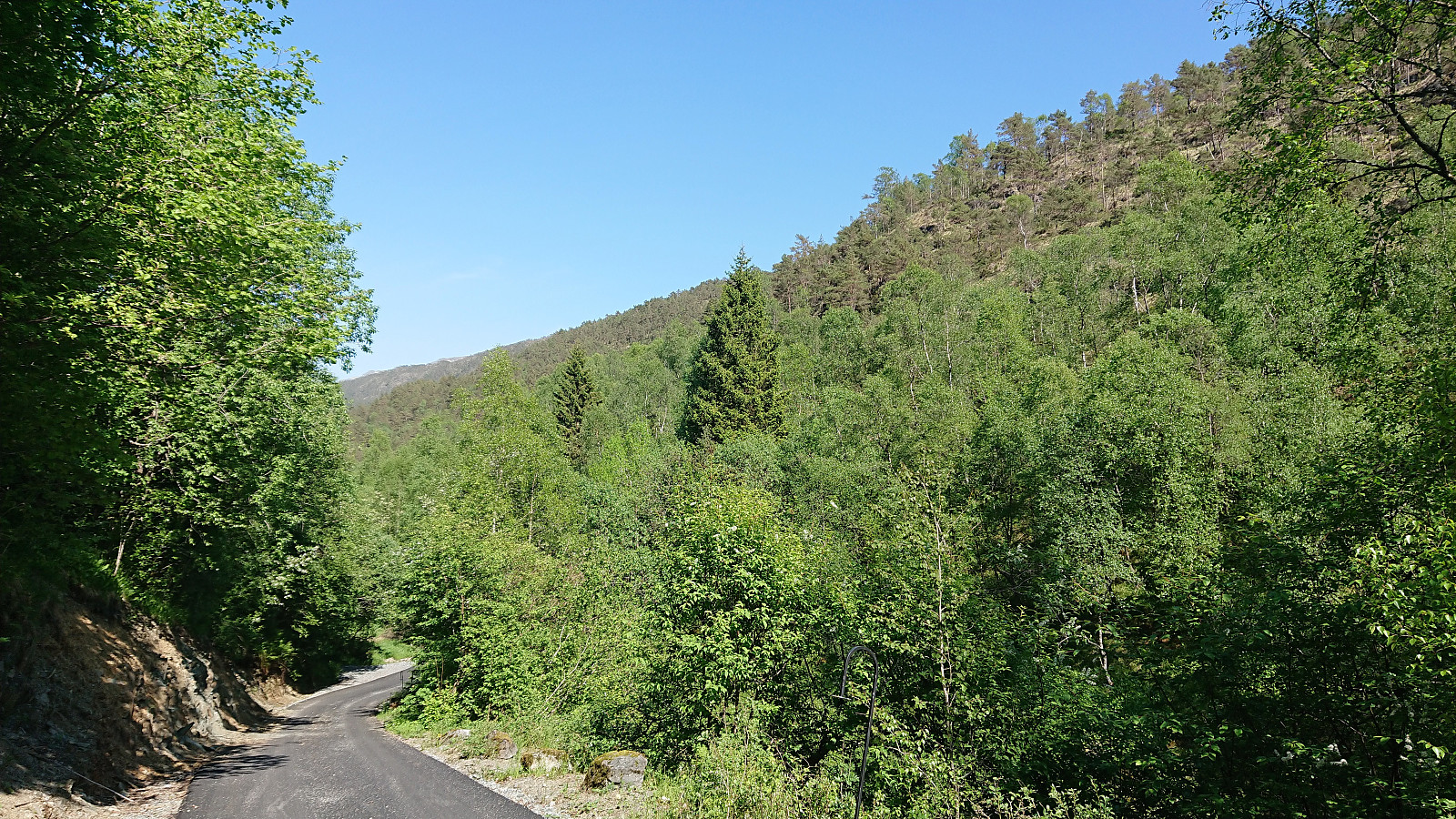
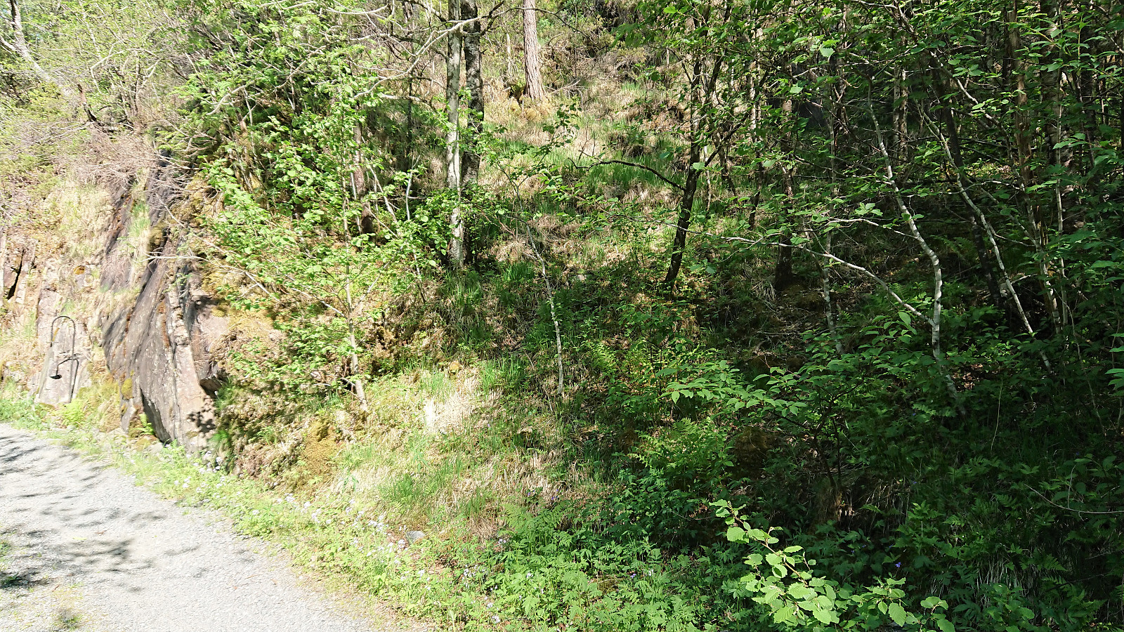
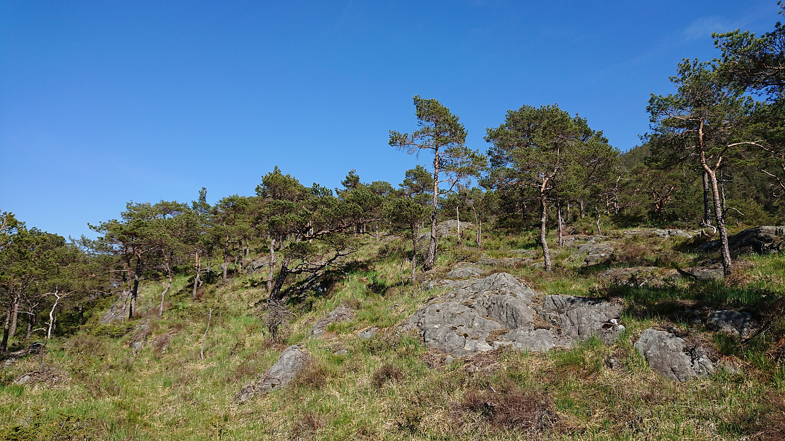
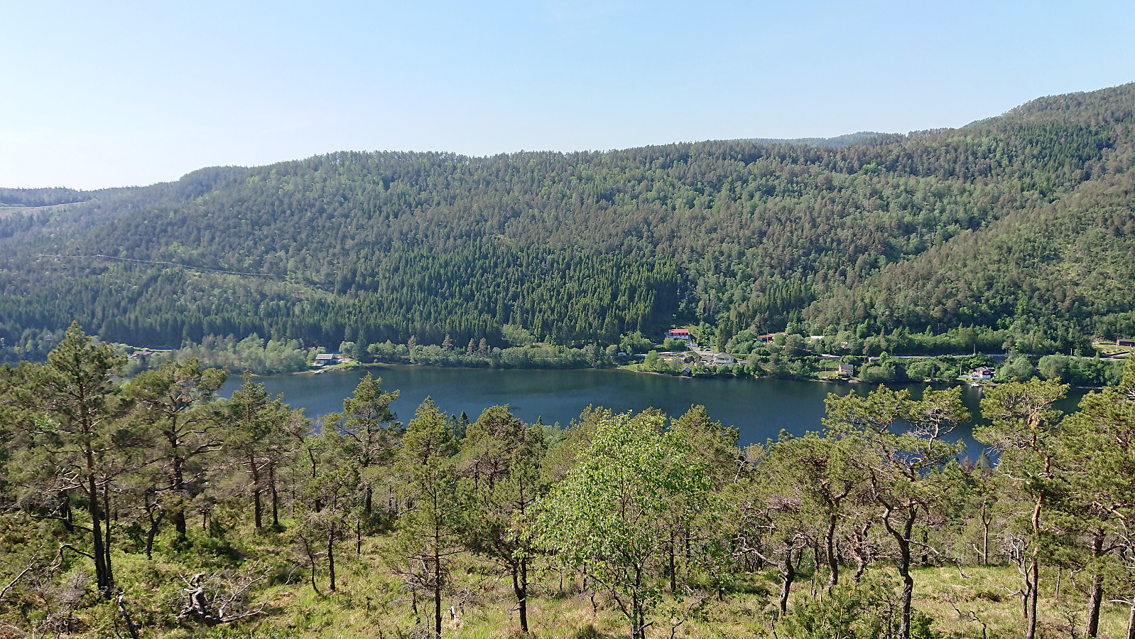
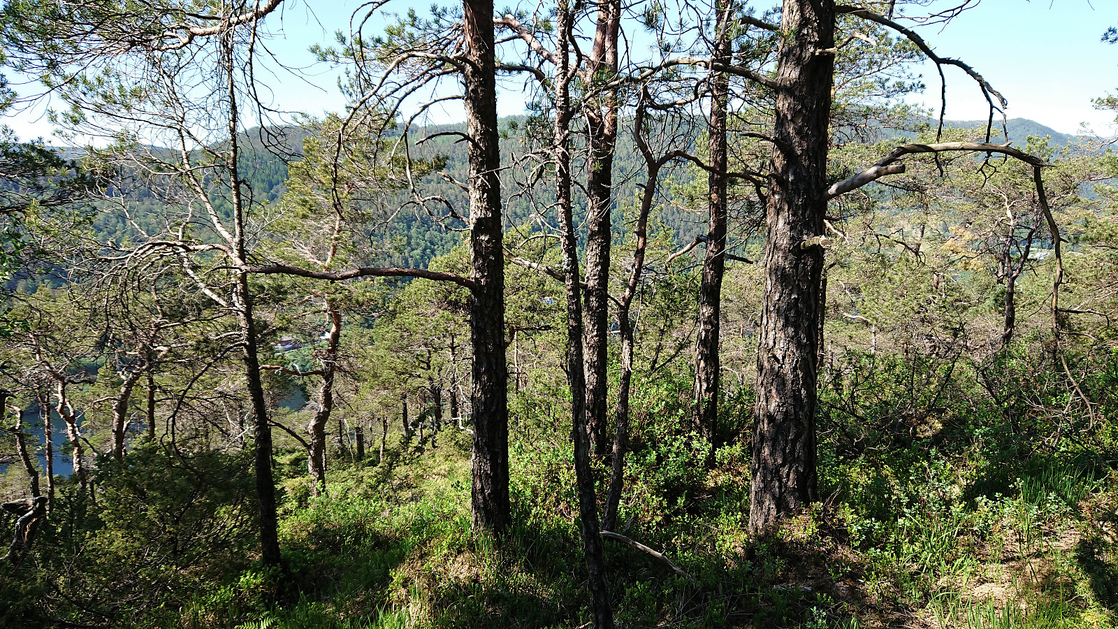
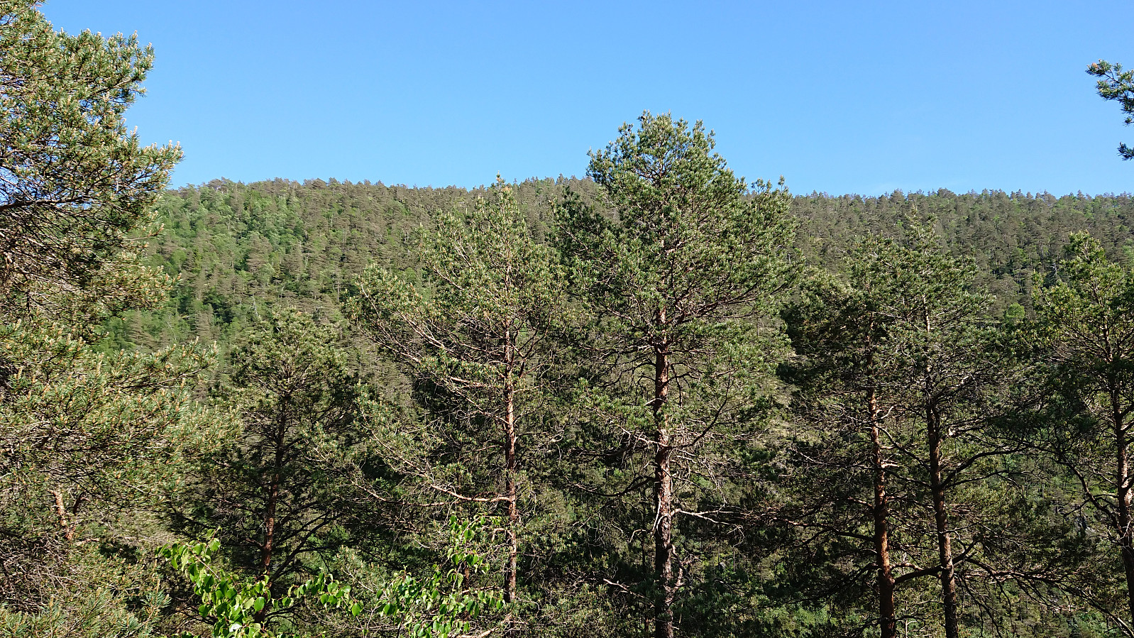
Started by taking the bus to Bahus and following Engevikvegen northeast until reaching the lake at Engevik. No trails, but there were lots of deer tracks that could be followed to simplify the ascent. After the first relatively steep 100 meters it was straightforward to follow the ridge towards the summit with the terrain being more open than expected.
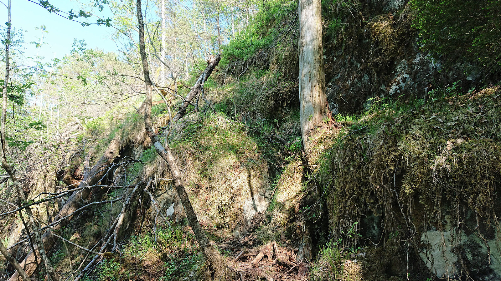
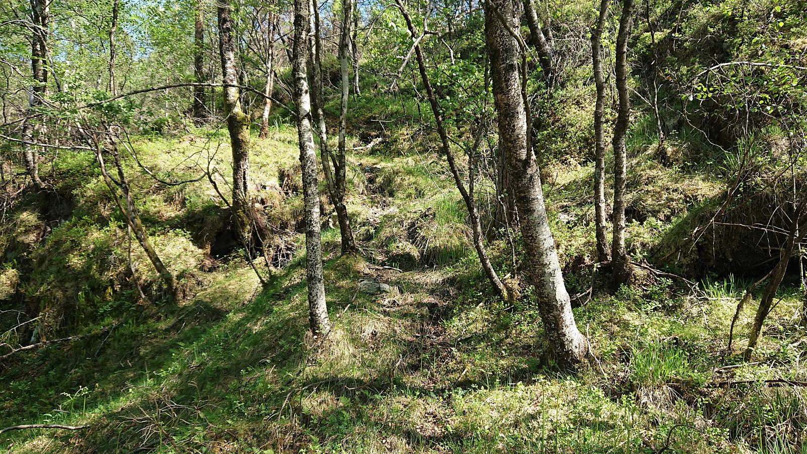
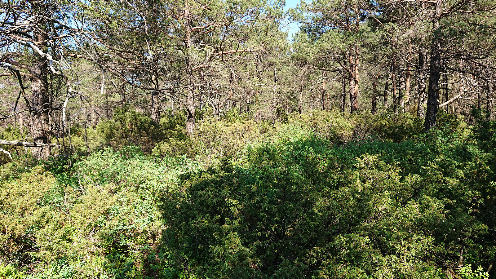
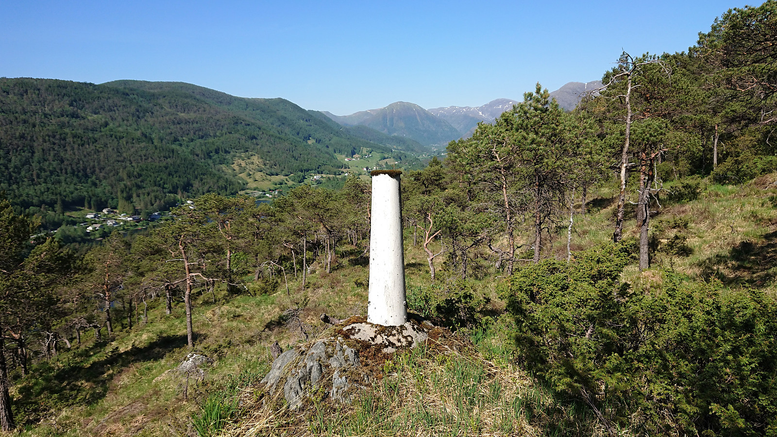
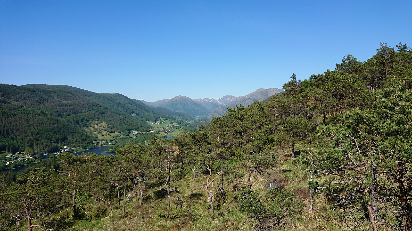
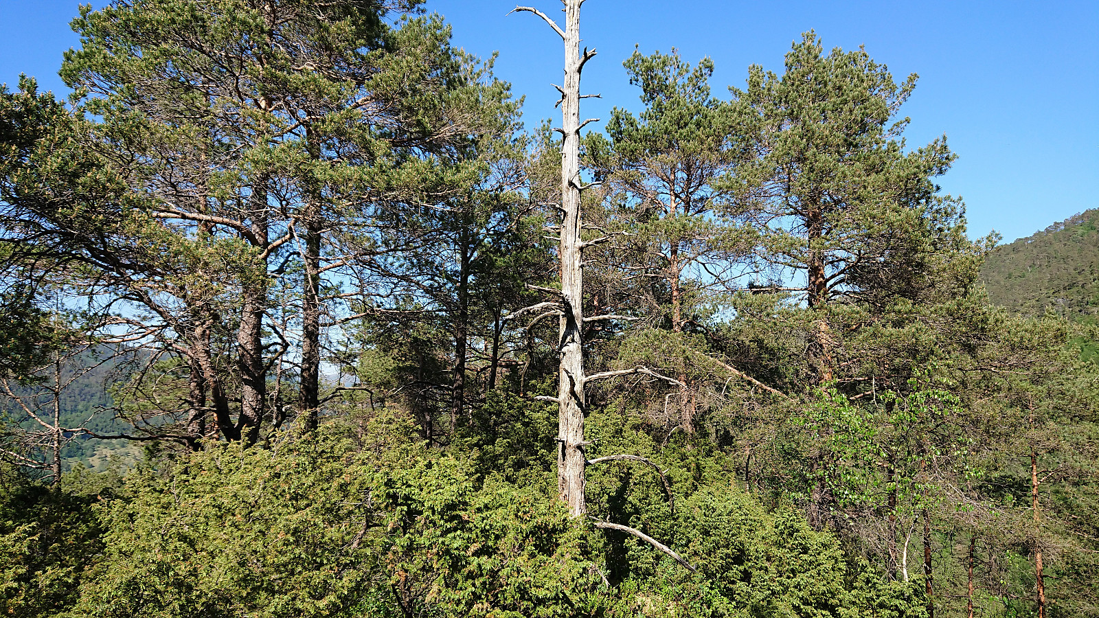
This changed towards the end, where there were lots of medium high bushes. To avoid the densest area I went slightly north of the ridge and there happened upon a trig marker which also provided the best views of the hike. From the trig marker the summit was easily reached, but provided only limited views. Did not stay long before following more or less the same route back down the ridge (though this time not passing by the trig marker).
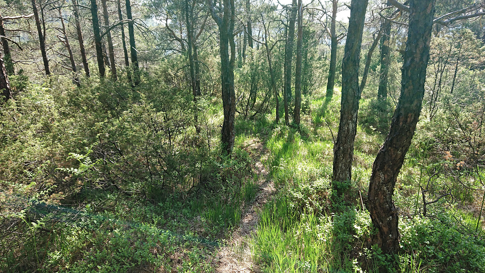
As I got to the small valley in between Eggene and the smaller hill to the southwest, I decided to follow the deer tracks southwest, assuming that this would bring me back to the road at some point. The deer tracks were easy to follow, almost looking like a trail at times, but disappeared just before getting to the road. But by then I was less than 100 meters from the road and could easily make my own way. The hike was concluded by following the road back to Bahus for the bus back to the city center.
Overall, a more enjoyable hike than expected, with the numerous deer tracks making it relatively straightforward to reach the summit. Ok views along the way, but probably not a peak one visits more than once.
| Start date | 26.05.2018 15:22 (UTC+01:00 DST) |
| End date | 26.05.2018 17:18 (UTC+01:00 DST) |
| Total Time | 1h 55min |
| Moving Time | 1h 42min |
| Stopped Time | 0h 13min |
| Overall Average | 2.9km/h |
| Moving Average | 3.3km/h |
| Distance | 5.6km |
| Vertical meters | 257m |


User comments