
Sandviksbatteriet - the steep route with a detour (06.11.2017)

Written by hbar (Harald Barsnes)

| Start point | Munkebotn (17m) |
|---|---|
| Endpoint | Lønborg (56m) |
| Characteristic | Hillwalk |
| Duration | 2h 53min |
| Distance | 8.1km |
| Vertical meters | 615m |
| GPS |
|
| Ascents | Hellefjellet (135m) | 06.11.2017 |
|---|---|---|
| Visits of other PBEs | Furekammen (163m) | 06.11.2017 |
| Hellen festning (131m) | 06.11.2017 | |
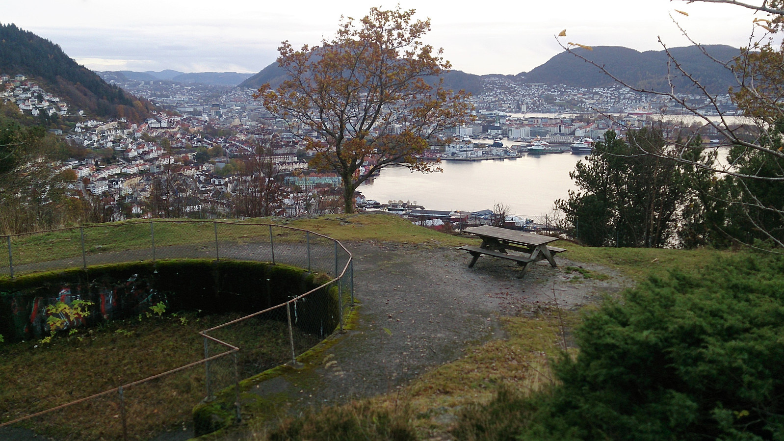
| Sandviksbatteriet (182m) | 06.11.2017 | |
| Vannverkshus i Skiveien (244m) | 06.11.2017 |
Sandviksbatteriet - the steep route with a detour
Sandviksbatteriet
Warning: While this hike starts out easy, it also involves some quite steep sections which requires light climbing in areas where it is possible to get stuck if taking the wrong route. In other words, proceed with caution.
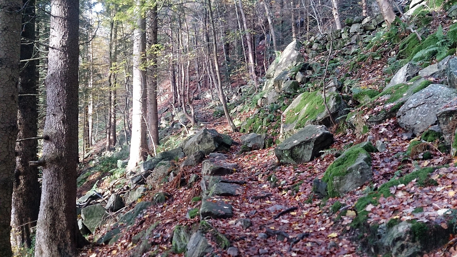
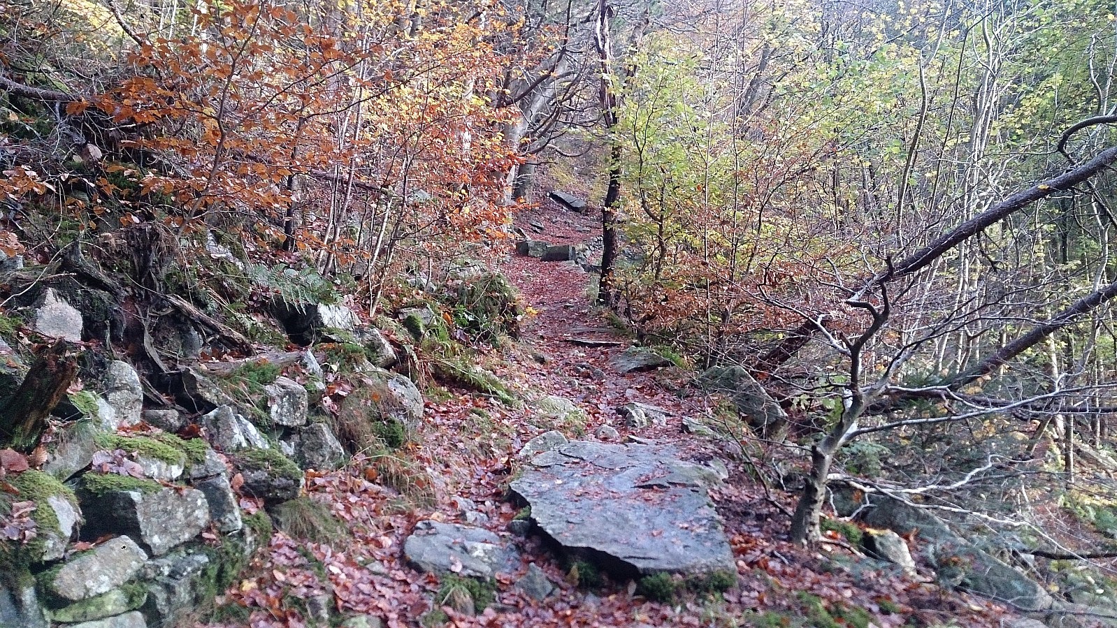
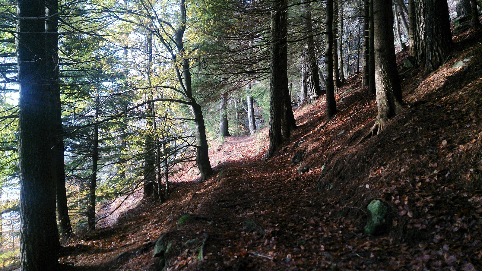
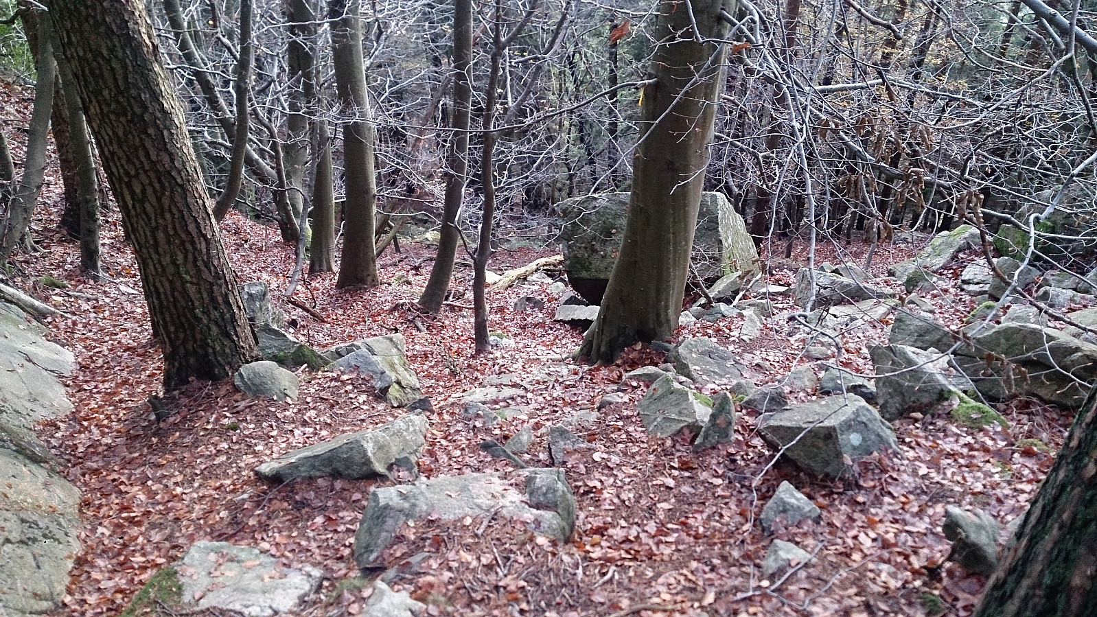
Started from the bus stop at Munkebotn and from there walked up to Fjellveien, which I immediately crossed and started the planned ascent towards Sandviksbatteriet. The trail/road starts our very nicely as it winds its way up the mountain side. When getting close to Sandviksbatteriet the trail however more or less disappears and one is left climbing in-between the rocks.
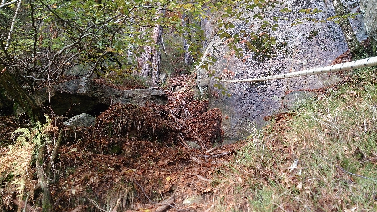
On a previous visit (before I started recording my hikes in PB) I thought I had ended up going west towards Sandviksbatteriet too early. This time I therefore decided to rather continue the ascent further on the right-hand side going upwards, and then later turn west towards Sandviksbatteriet. My plan started out ok, and shortly I even came across several ropes that could be used make the progress easier up the steep mountain side.
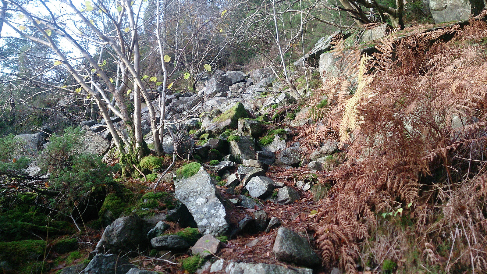
However, it soon became clear that this trail was not heading for Sandviksbatteriet, but rather further up towards the top of the gorge where it connected with the trail to Sandvikspilen. I decided to keep on anyway, as it had now turned so steep that heading back down was not straightforward. (I later learned that several people had gotten stuck, or close to stuck, trying to find a direct route to Sandviksbatteriet from this location, so I clearly made the right choice to not go for this option.)
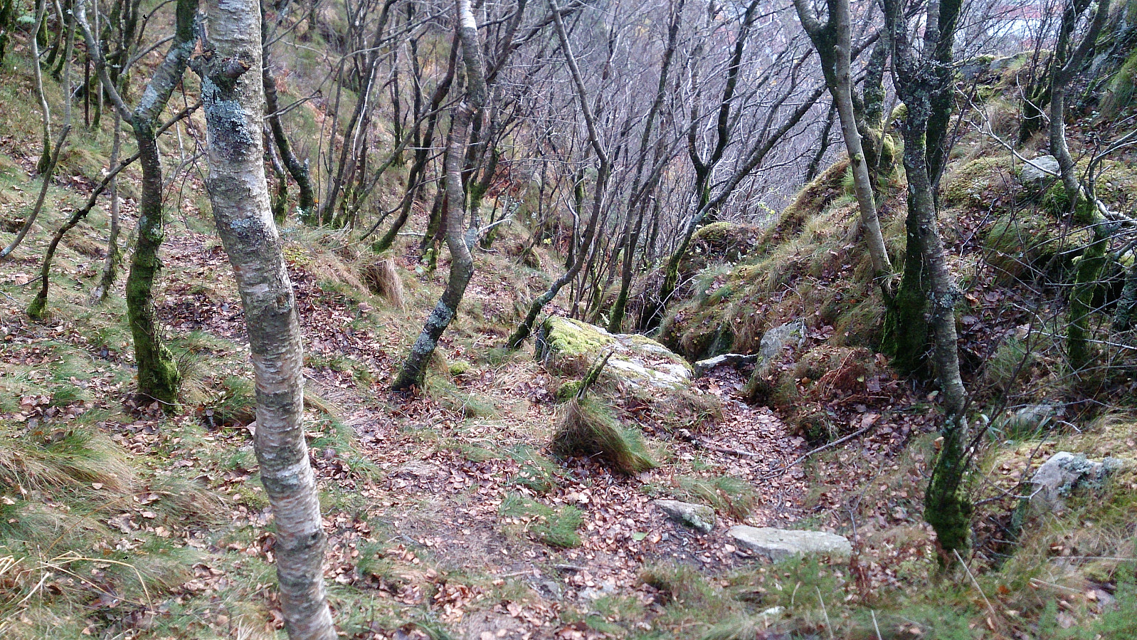
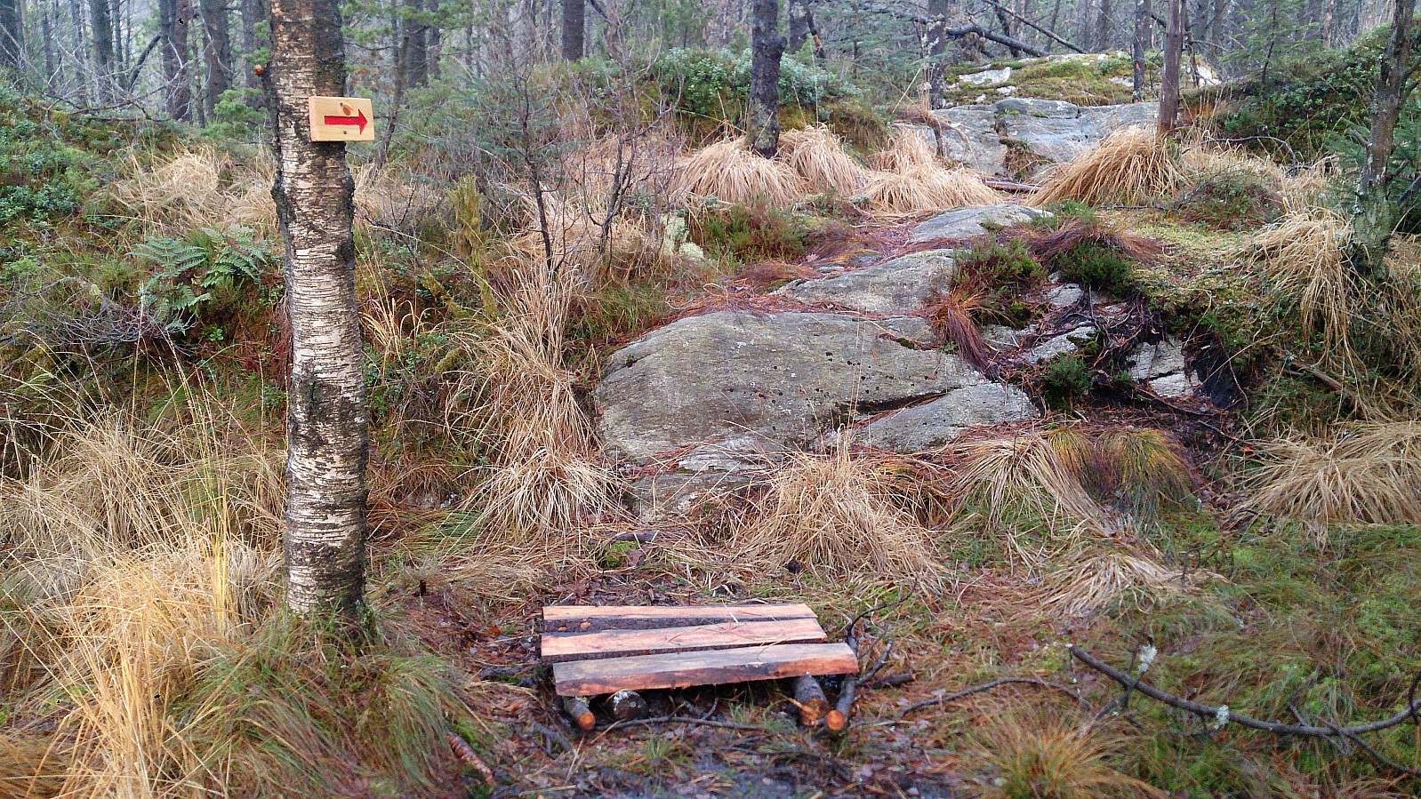
But the trail got even steeper, and a bit of light climbing was required, before finally connecting with the trail towards Sandvikspilen. There I decided to continue upwards to figure out where the trail indicated by the red arrow I had come across on a previous hike (Sandviksbatteriet and Sandvikspilen) would take me, which, as expected, turned out to be the smaller dam below Storevatnet.
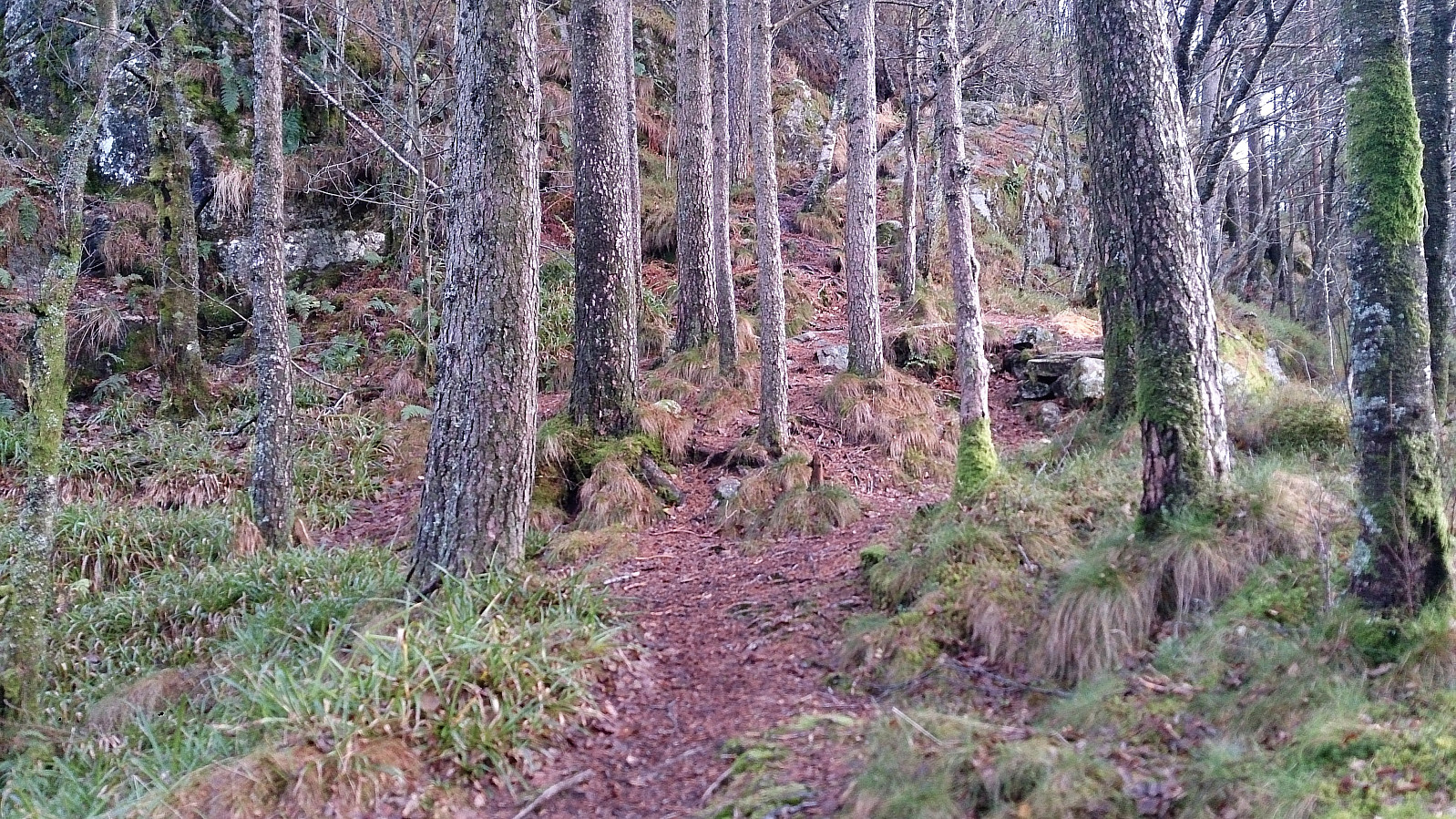
From Storevatnet I followed the trail, and later the gravel road, down to Munkebotsvatnet, before taking a quick detour to Sandviksbatteriet, which after all had been the main objective of the hike. The hike was then concluded by walking back to Lønborg across Hellen festning.
Conclusion
A longer and more challenging hike than planned. And even though the ropes seem to indicate that this trail is being used, I don't think I'd recommend it. A better option would be to head west towards Sandviksbatteriet at an earlier point, although this also requires a bit of climbing as far as I can remember.
| Start date | 06.11.2017 14:04 (UTC+01:00) |
| End date | 06.11.2017 16:57 (UTC+01:00) |
| Total Time | 2h 53min |
| Moving Time | 2h 00min |
| Stopped Time | 0h 53min |
| Overall Average | 2.8km/h |
| Moving Average | 4.1km/h |
| Distance | 8.1km |
| Vertical meters | 615m |


User comments