
Sandviksbatteriet and Sandvikspilen (23.10.2017)

Written by hbar (Harald Barsnes)

| Start point | Sandviken sykehus (31m) |
|---|---|
| Endpoint | Lønborg (55m) |
| Characteristic | Hillwalk |
| Duration | 2h 16min |
| Distance | 8.3km |
| Vertical meters | 540m |
| GPS |
|
| Ascents | Hellefjellet (135m) | 23.10.2017 |
|---|---|---|
| Visits of other PBEs | Furekammen (163m) | 23.10.2017 |
| Grindarasten (375m) | 23.10.2017 | |
| Hellen festning (131m) | 23.10.2017 | |
| Munkegrind (158m) | 23.10.2017 | |
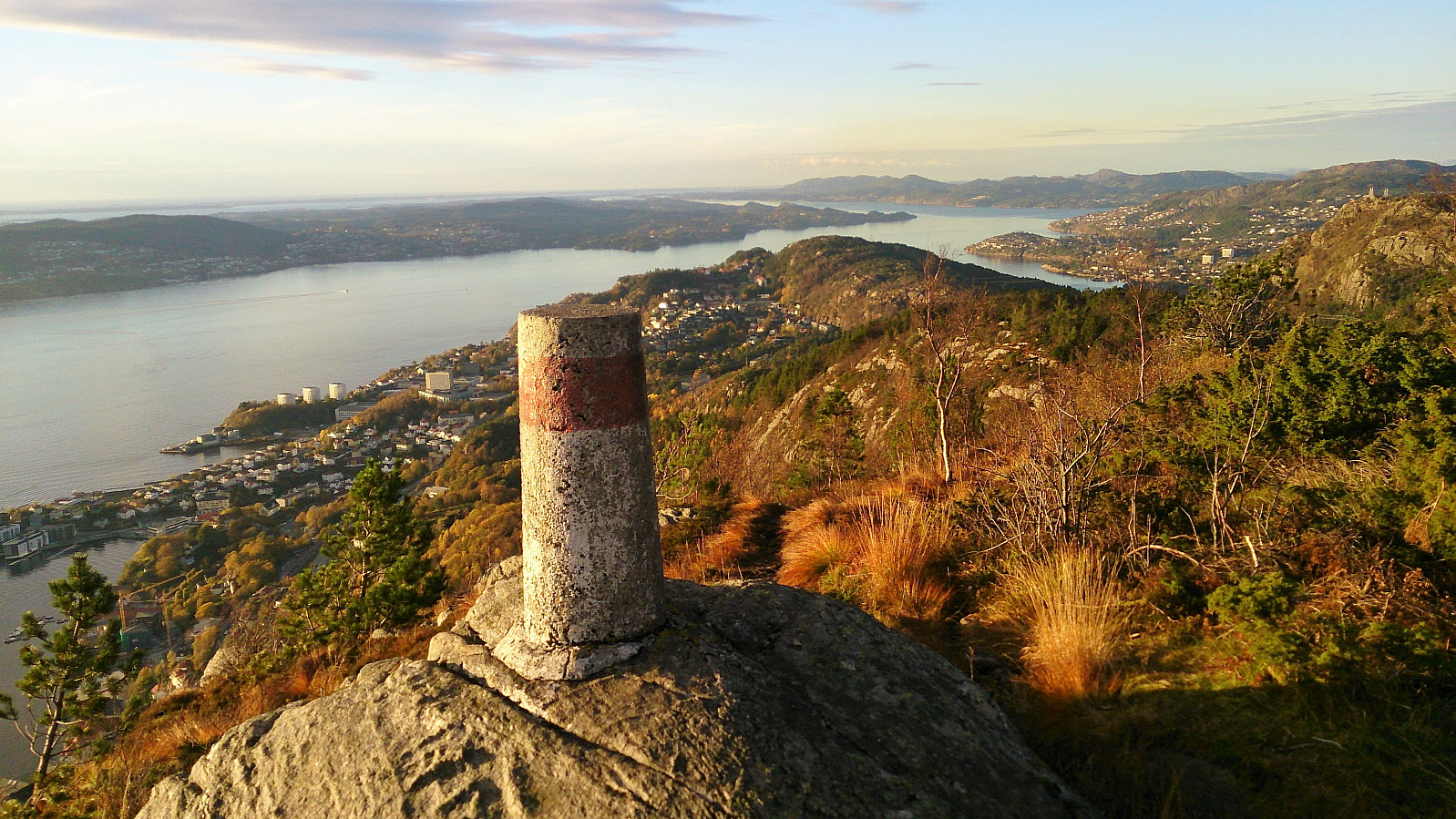
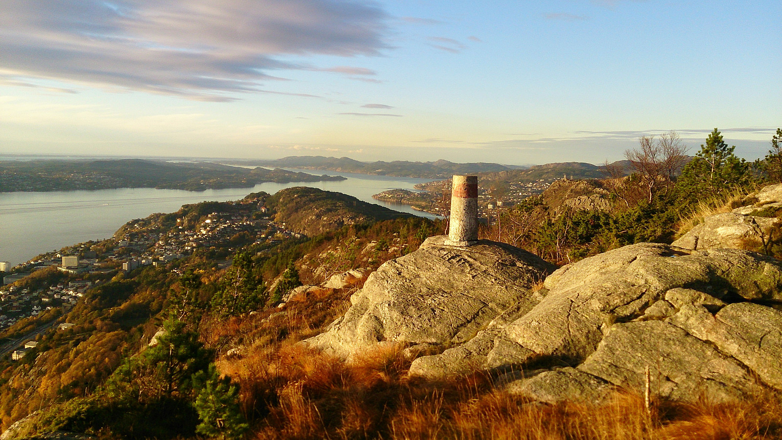
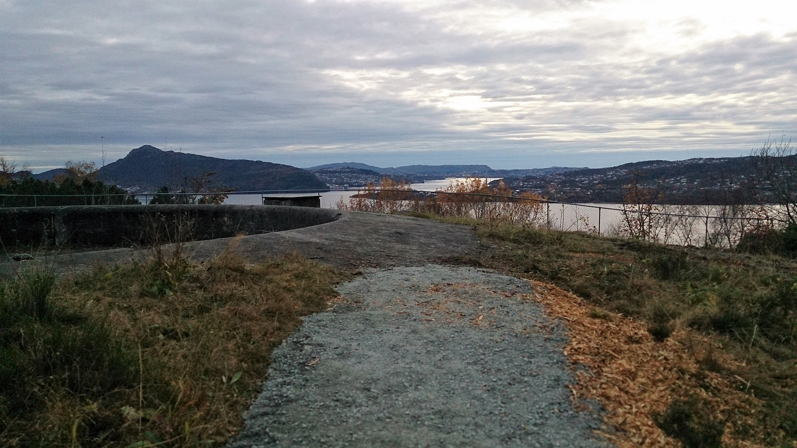
| Sandviksbatteriet (182m) | 23.10.2017 | |
| Sandviksfløyen søyle (379m) | 23.10.2017 | |
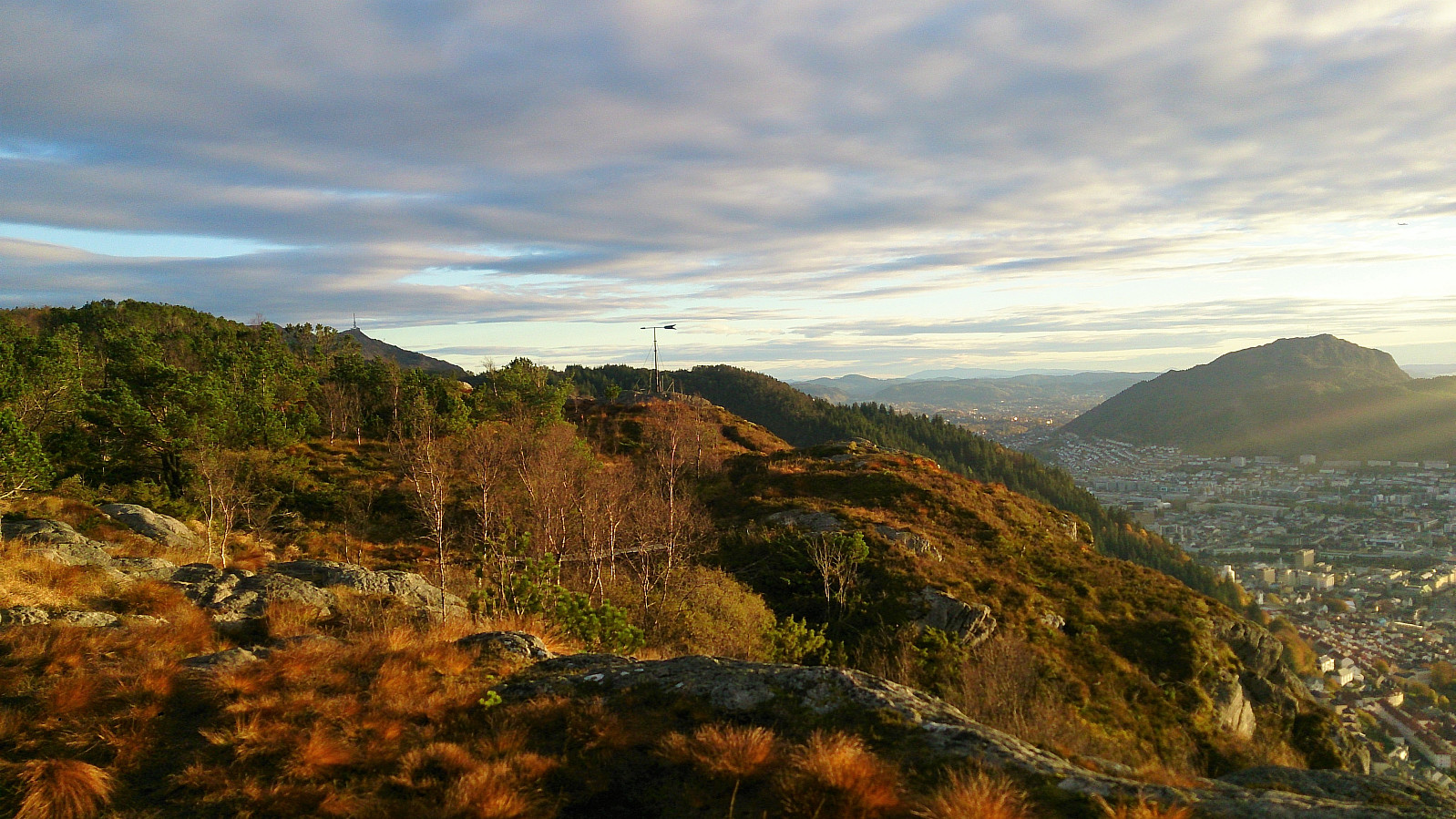
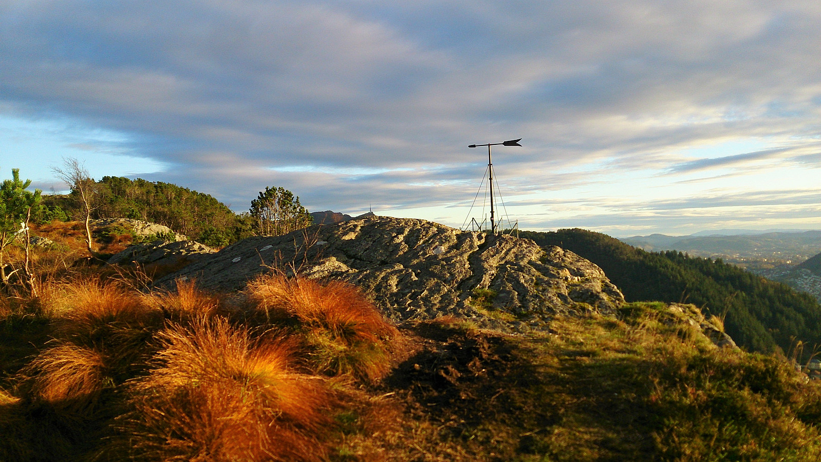
| Sandvikspilen (378m) | 23.10.2017 | |
| Vannverkshus i Skiveien (244m) | 23.10.2017 |
Sandviksbatteriet and Sandvikspilen
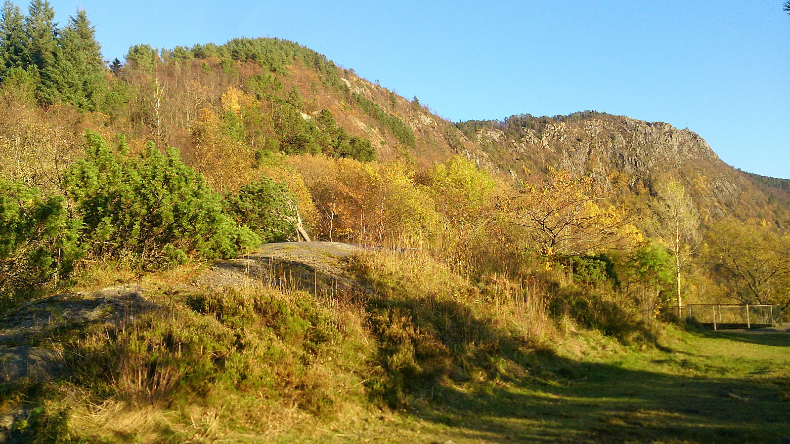
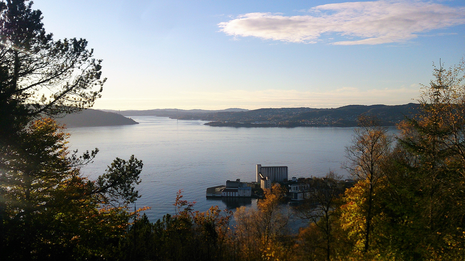
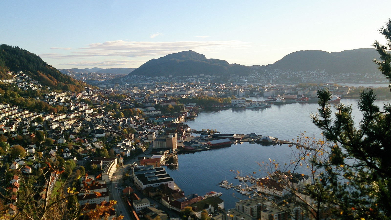
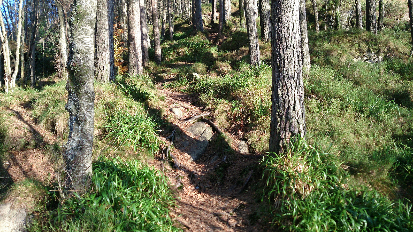
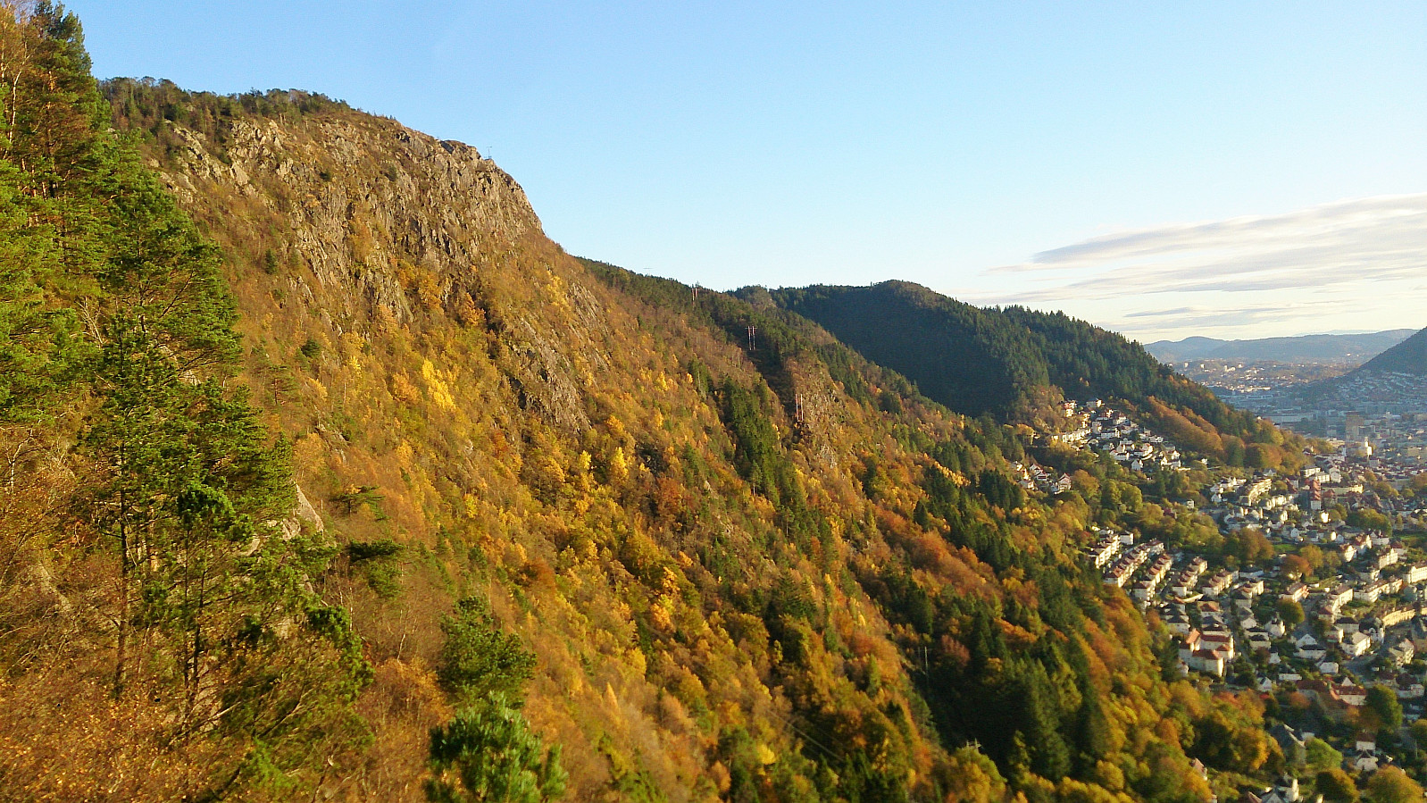
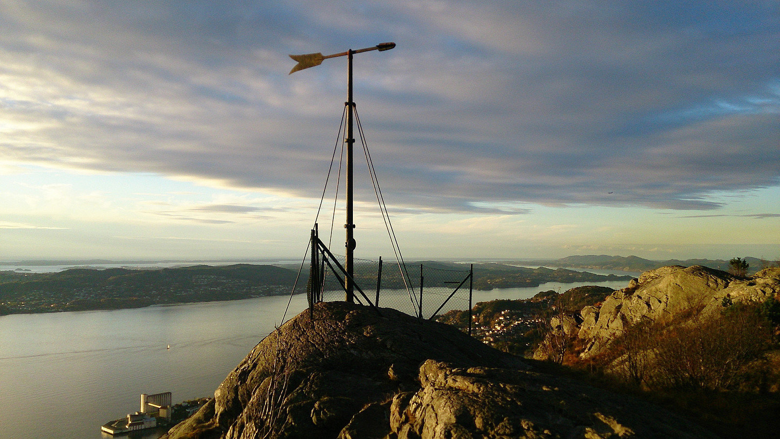
Started from the bus stop across from Sandviken sykehus and from there followed the standard route up to Sandviksbatteriet. Next, I followed the trail along the ridge up to Sandvikspilen, with excellent views towards the west throughout. Note that the trail starts out quite steep, but flattens out about halfway to the top. The trail also requires a bit of very light climbing.
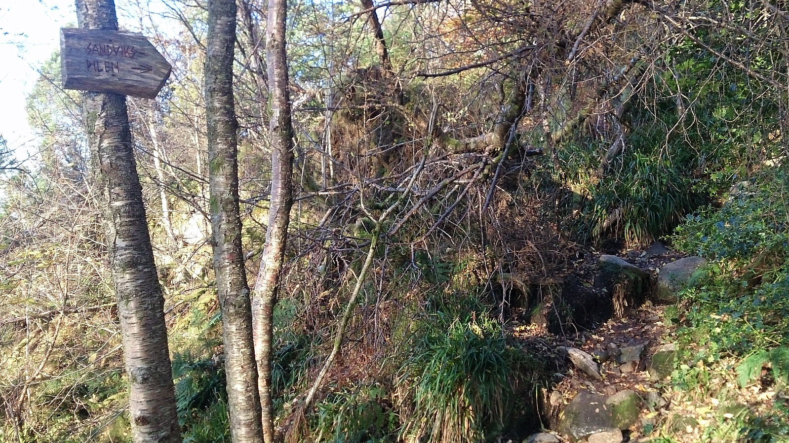
The trailhead is marked, but one has to know where to look to find the sign (see GPS tracking for details). As I was getting close to the top I noticed a new sign with a red arrow indicating that I ought to go left (east) instead of following the ridge like I'm used to doing for this hike. I followed the suggested trail for a while, but in the end decided that it was heading a too much in the wrong direction, and therefore instead returned to the unmarked trail along the ridge, which I would still recommend as the main route to Sandvikspilen, i.e. I recommend ignoring the red arrow if heading for Sandvikspilen.
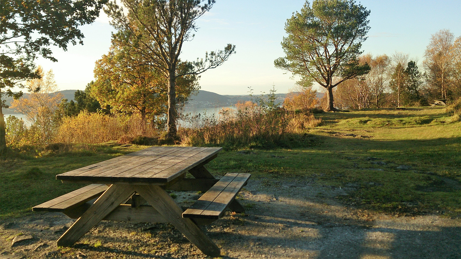
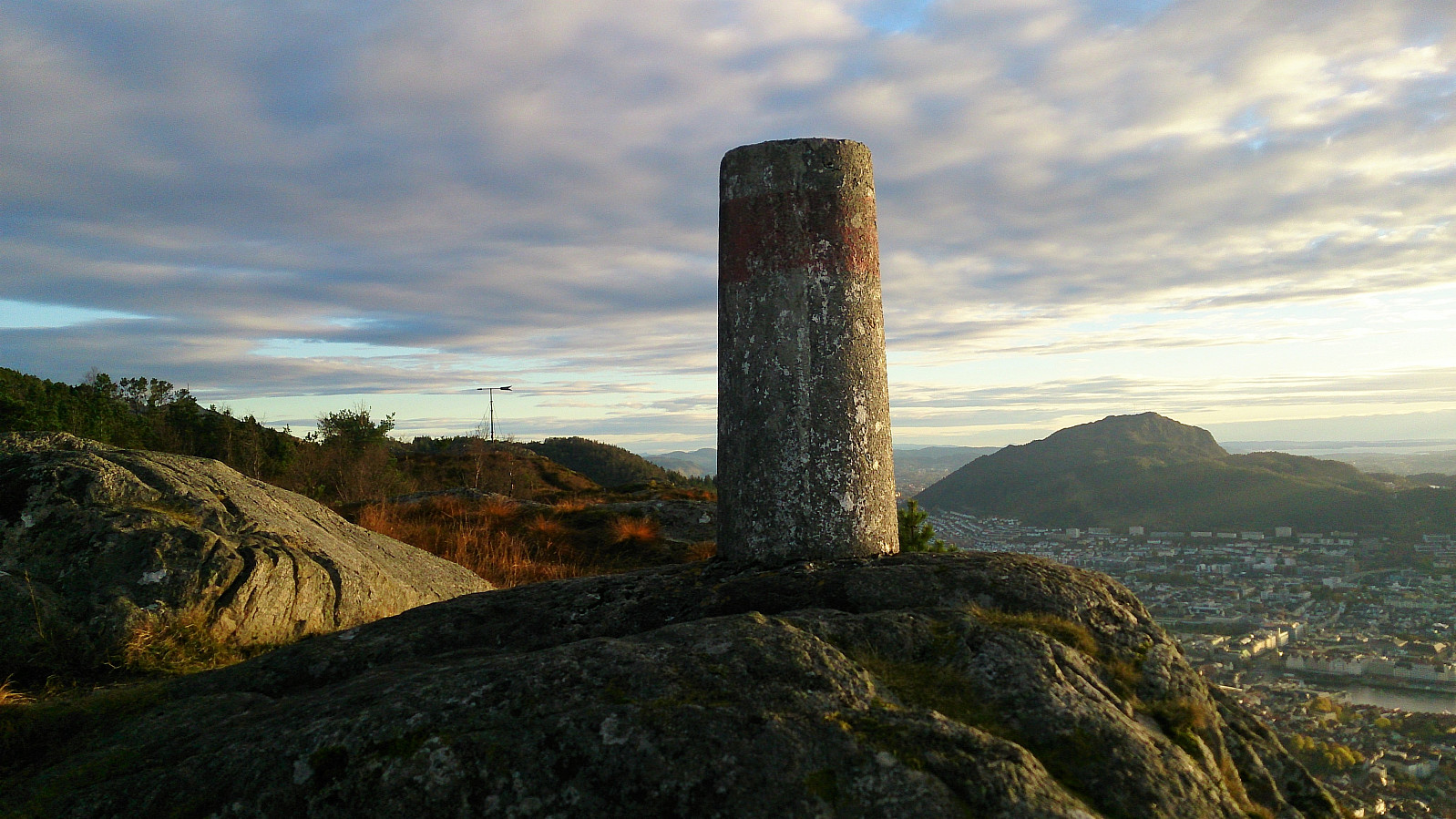
After a short visit to Sandvikspilen, and the trig marker north of Sandvikspilen, I headed for the gravel road next to Storevatnet, which I then followed (with the exceptions a couple of shortcuts) down to Munkebotsvatnet. I then passed Garpetjern on the way to Øyjordsveien, and concluded the hike by crossing over Furekammen and Hellen festning, before ending up in Lønborg.
In summary, a very nice hike that can be highly recommended for those wanting an alternative route to the top of Stoltzekleiven.
| Start date | 23.10.2017 16:07 (UTC+01:00 DST) |
| End date | 23.10.2017 18:23 (UTC+01:00 DST) |
| Total Time | 2h 16min |
| Moving Time | 2h 08min |
| Stopped Time | 0h 7min |
| Overall Average | 3.7km/h |
| Moving Average | 3.9km/h |
| Distance | 8.3km |
| Vertical meters | 539m |


User comments