
Åsen (10.09.2017)

Written by hbar (Harald Barsnes)

| Start point | Gåssandskiftet (58m) |
|---|---|
| Endpoint | Gåssandskiftet (58m) |
| Characteristic | Hillwalk |
| Duration | 2h 25min |
| Distance | 9.0km |
| Vertical meters | 240m |
| GPS |
|
| Ascents | Åsen (181m) | 10.09.2017 |
|---|
Åsen
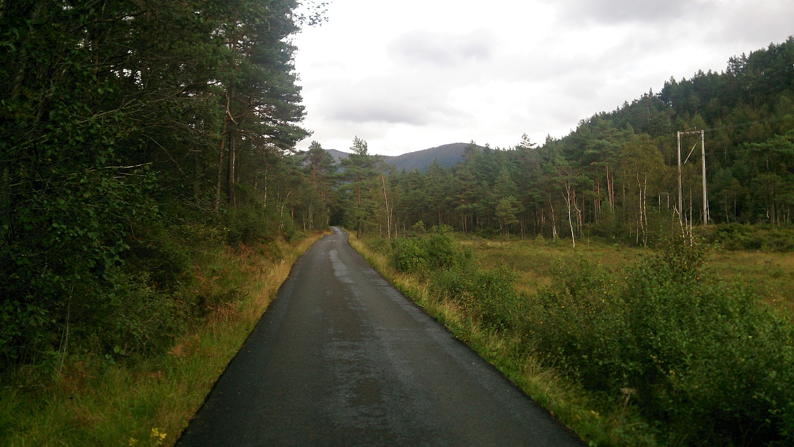

Started by taking the bus to Gåssandskiftet and walking up Gåssandvegen to locate the start of the trail. This involved walking a bit more than 3 km along a paved road with limited traffic. Not the most interesting, but not too bad either.
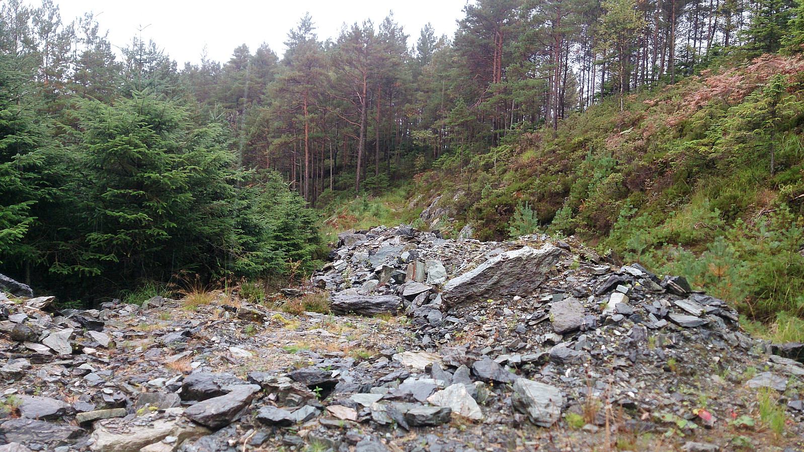
The exit from the main road was easy to find as it was the only gravel road taking off to the right (east). The gravel road quickly turned south and then came to an end. After crossing several small piles of rocks, I located the start of a trail that seemed to head in the direction of Åsen.
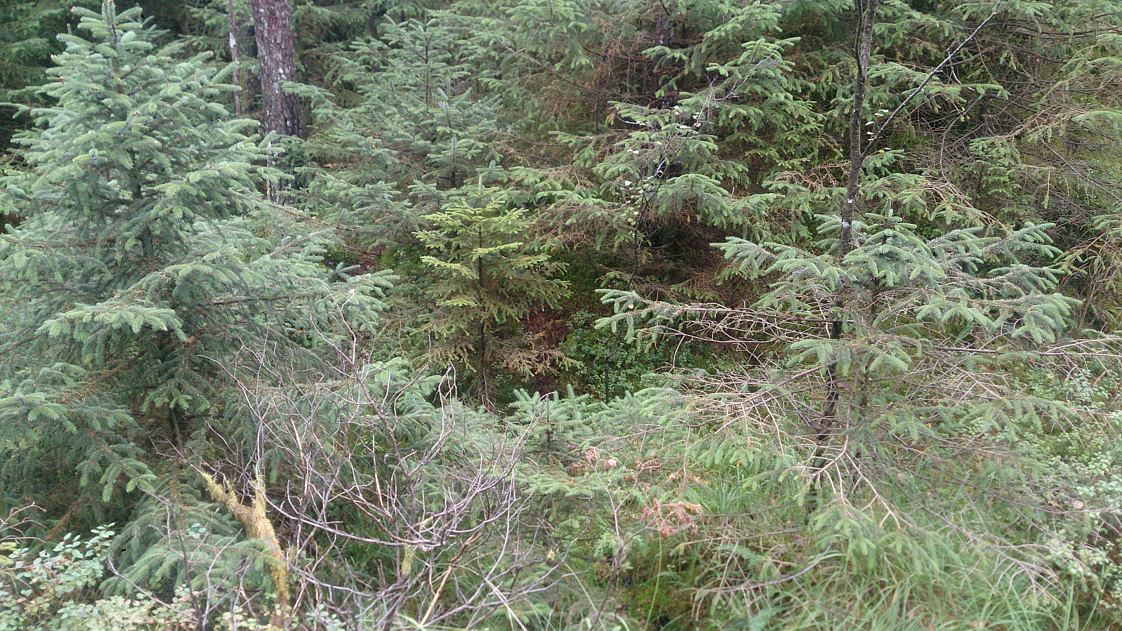
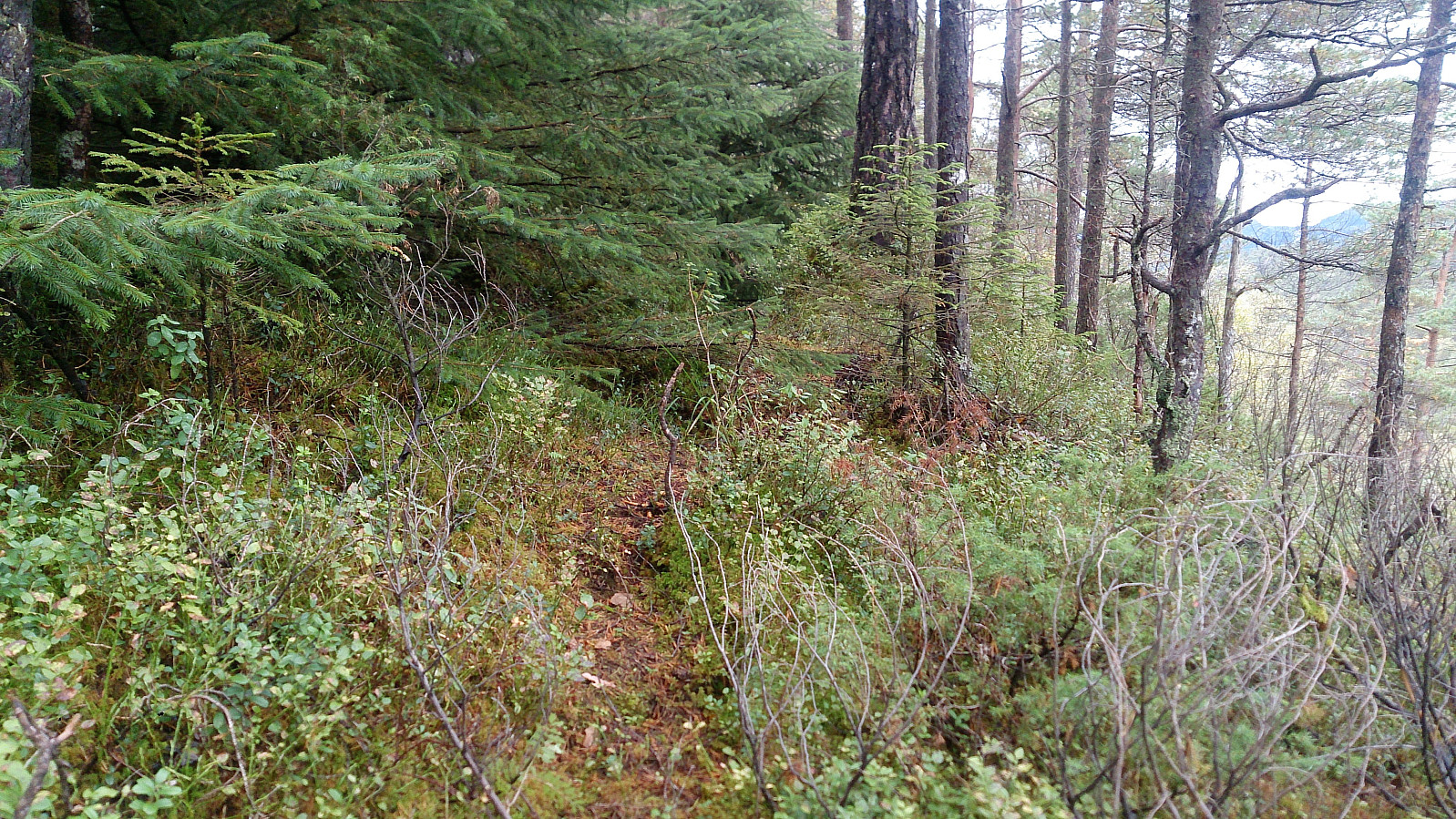
Calling it a trail is being very generous though, as I'm pretty sure it is much more heavily used by deer than my humans, and it went as much through the trees/bushes as around them, and also split multiple times. However, it did make it easier to make progress towards the summit compared to there being no trails/tracks.
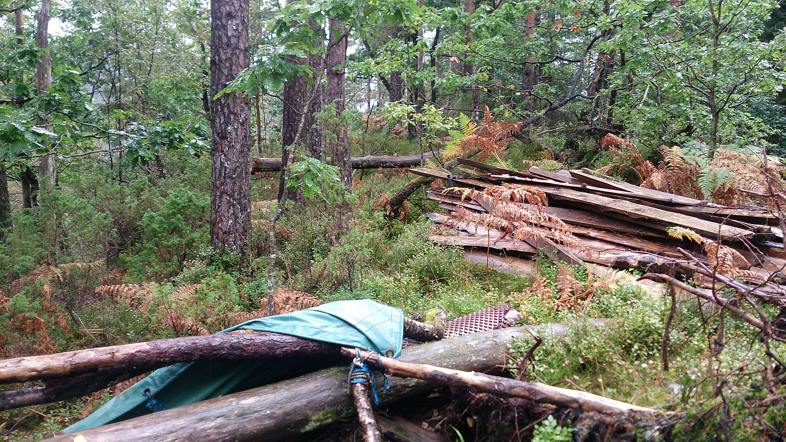
The summit itself provided very limited views, but it did contain the remains of/plans for a small shelter. I did not stay long before following more or less the same route back to the main road, which I then followed back to the Gåssandskiftet for the bus back to the city center.
In summary, a visit to Åsen cannot really be recommended. I guess it says a lot when the boring walk along the paved road was the best part of the hike...

| Start date | 10.09.2017 13:26 (UTC+01:00 DST) |
| End date | 10.09.2017 15:51 (UTC+01:00 DST) |
| Total Time | 2h 25min |
| Moving Time | 2h 22min |
| Stopped Time | 0h 3min |
| Overall Average | 3.7km/h |
| Moving Average | 3.8km/h |
| Distance | 9.0km |
| Vertical meters | 240m |


User comments