
Sangoltshornet and Storaskjenet from Skogsskiftet terminal (18.08.2017)

Written by hbar (Harald Barsnes)

| Start point | Skogsskiftet terminal (39m) |
|---|---|
| Endpoint | Skogsskiftet terminal (39m) |
| Characteristic | Hillwalk |
| Duration | 4h 17min |
| Distance | 15.0km |
| Vertical meters | 585m |
| GPS |
|
| Ascents | Sangoltshornet (186m) | 18.08.2017 |
|---|---|---|
| Storaskjenet (175m) | 18.08.2017 | |
| Visits of other PBEs | Storaskjenet p-lomme (75m) | 18.08.2017 |
Sangoltshornet and Storaskjenet from Skogsskiftet terminal


Sangoltshornet
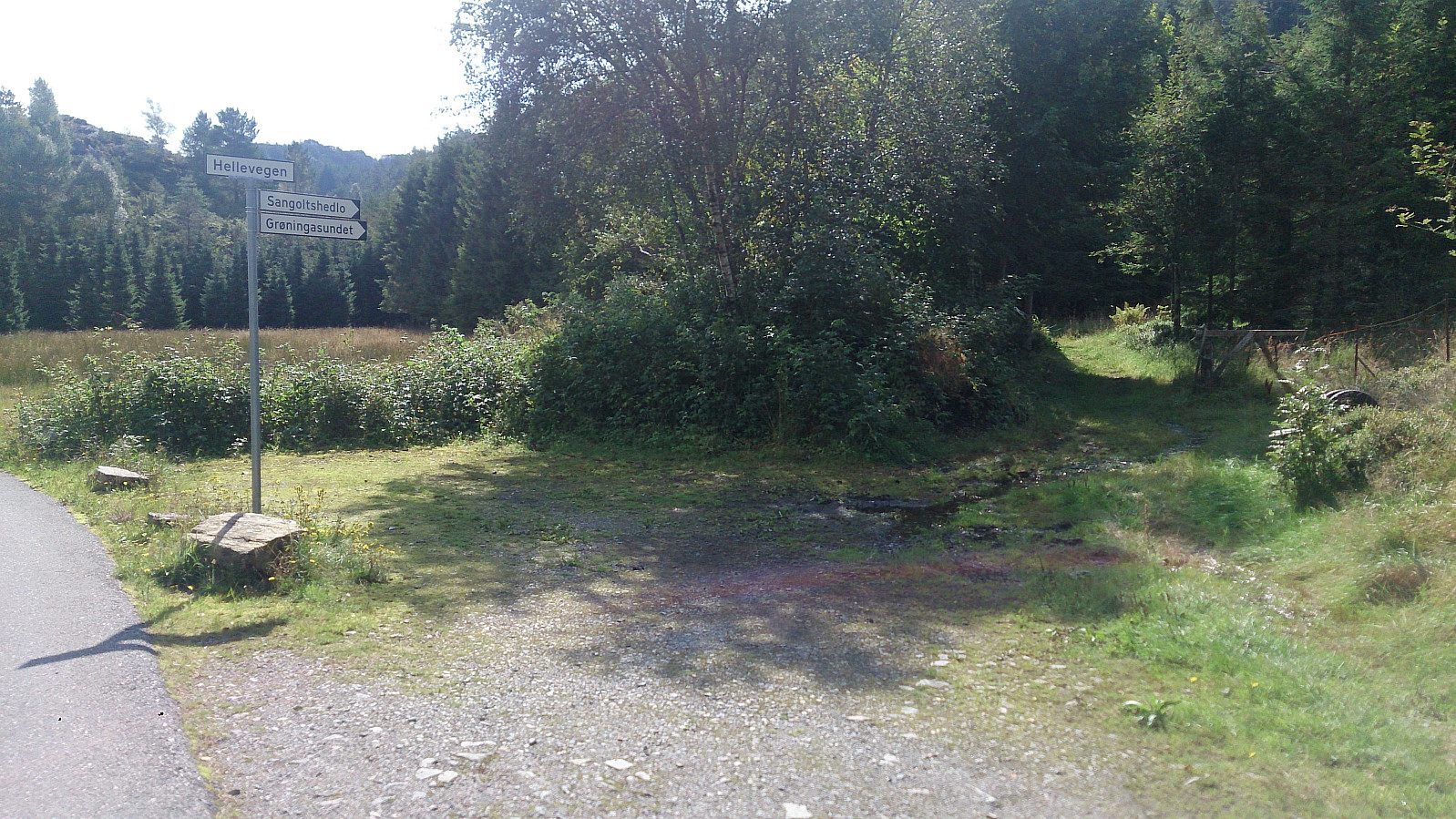
Started by taking the bus to Skogsskiftet terminal and walking southeast on Skogevegen and later Austre Sundvegen, before following Skogsvågvegen northeast until reaching Sangoltsvegen, which I then followed south until reaching the trailhead.
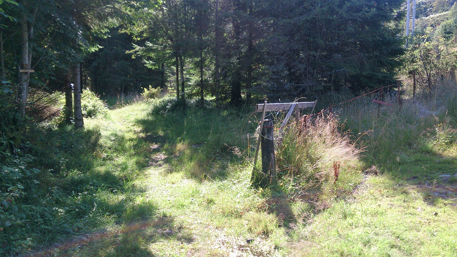
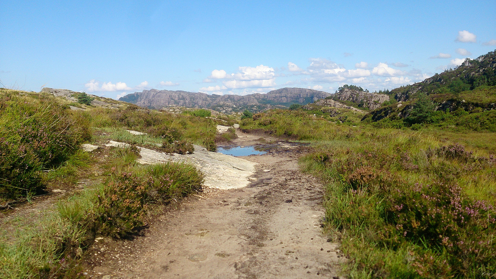
At the trailhead I had two options: either continue southeast (which was marked "Hødne") or turn west (which was unmarked). I chose the latter, assuming that this was the shortest route, but quickly started regretting my choice as the trail ended up being extremely wet, feeling more like a river than a trail at times.
Perhaps the trail would have been slightly better if it had not rained heavily the day before, but given the terrain I expect my experience was not unique. The trail did get better towards the summit of Sangoltshornet though.
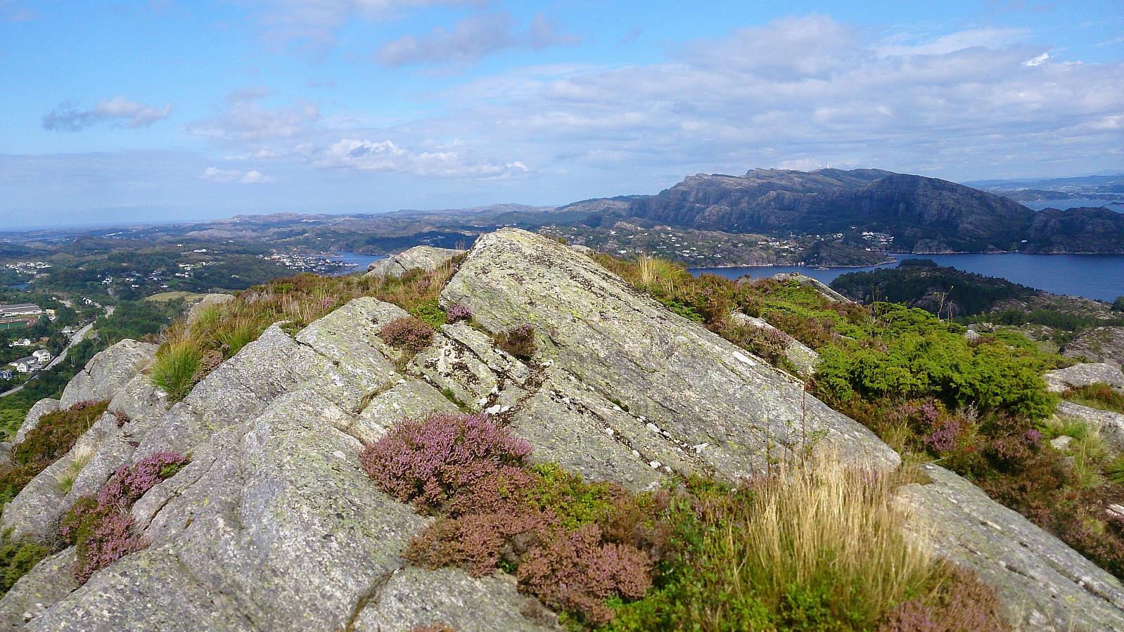
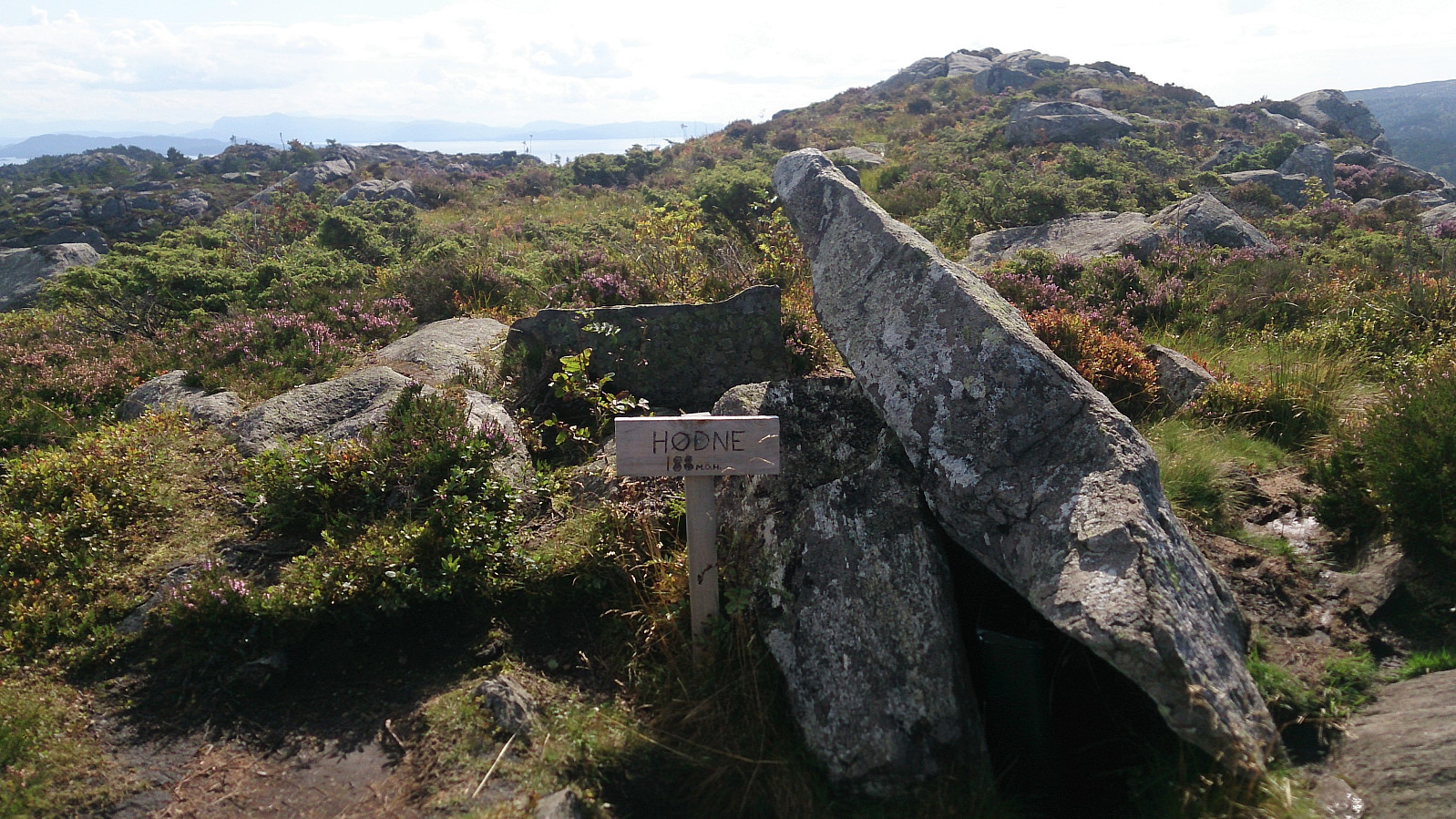
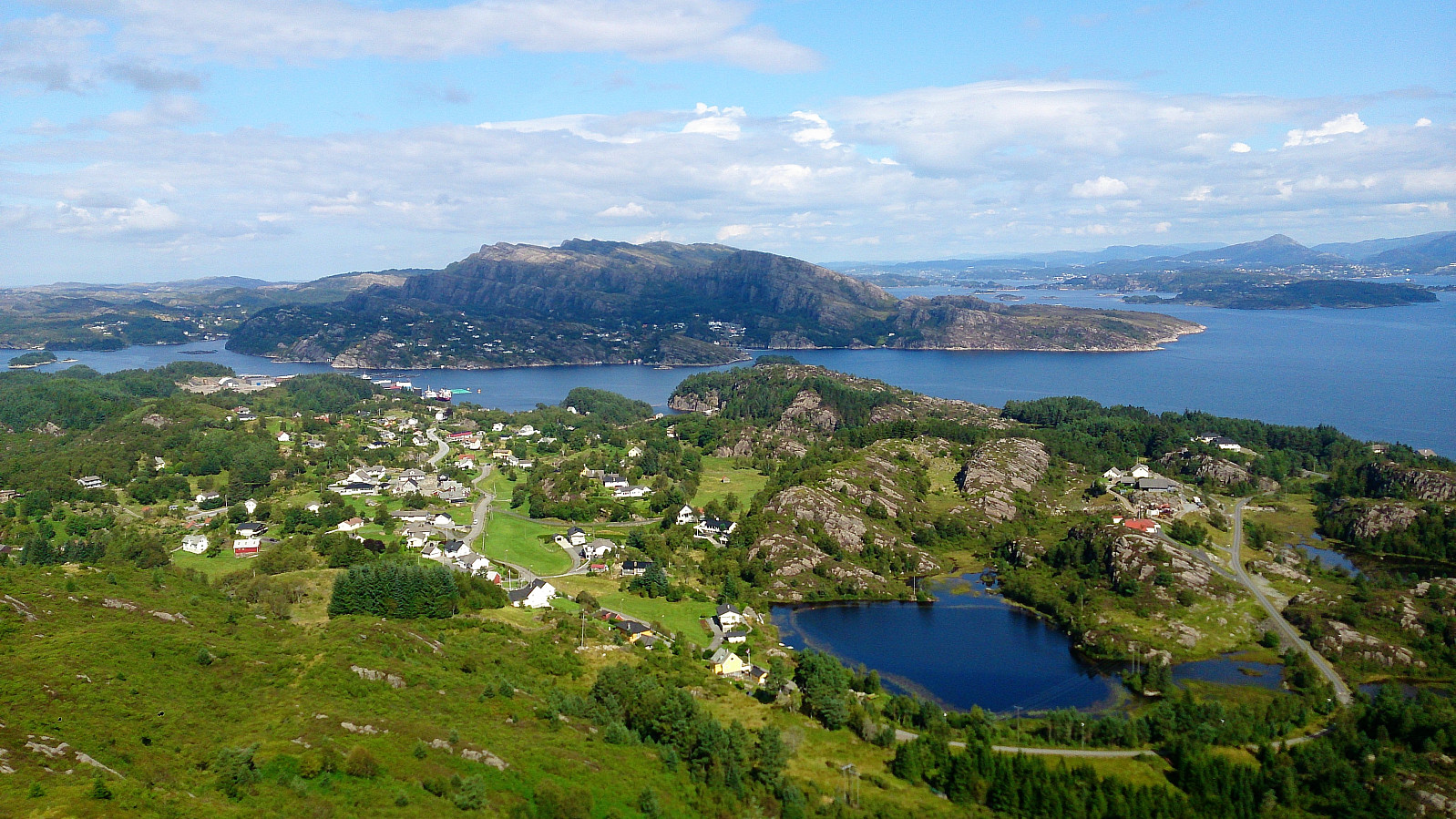
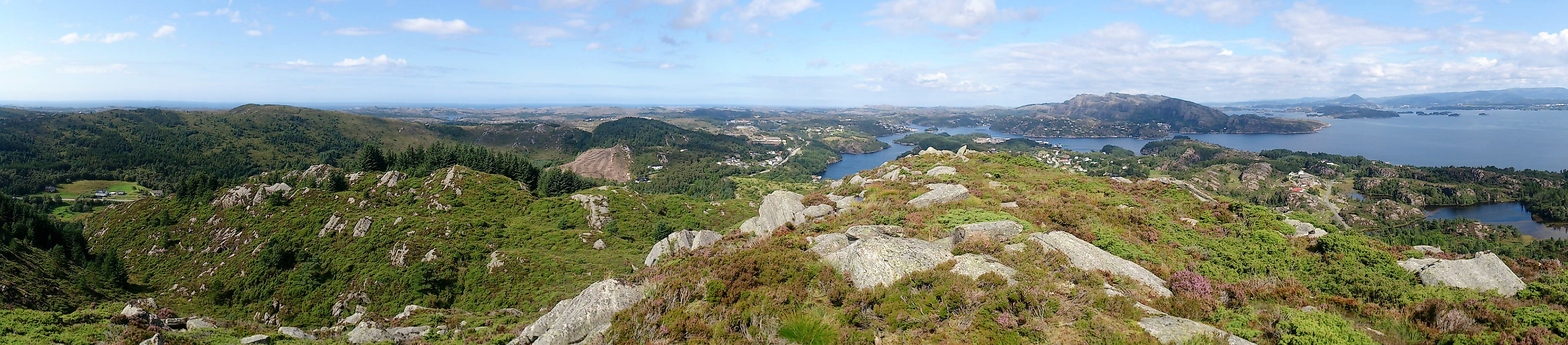
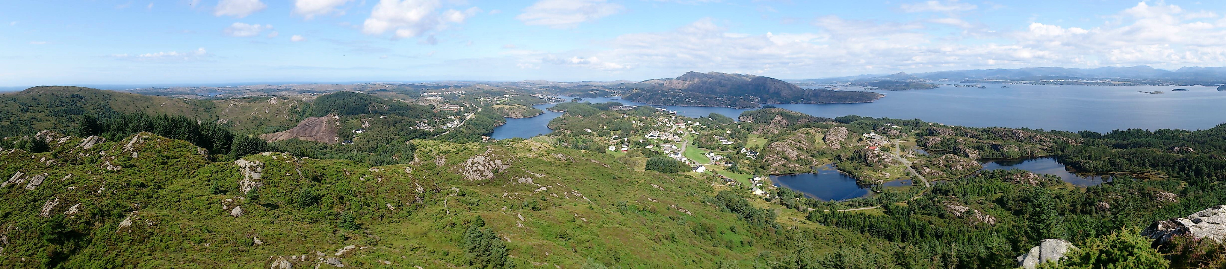
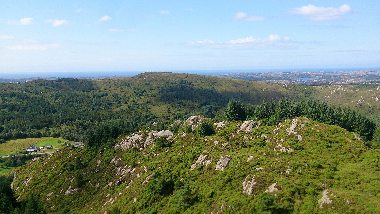
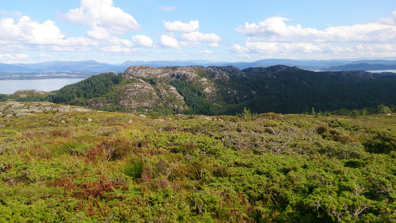
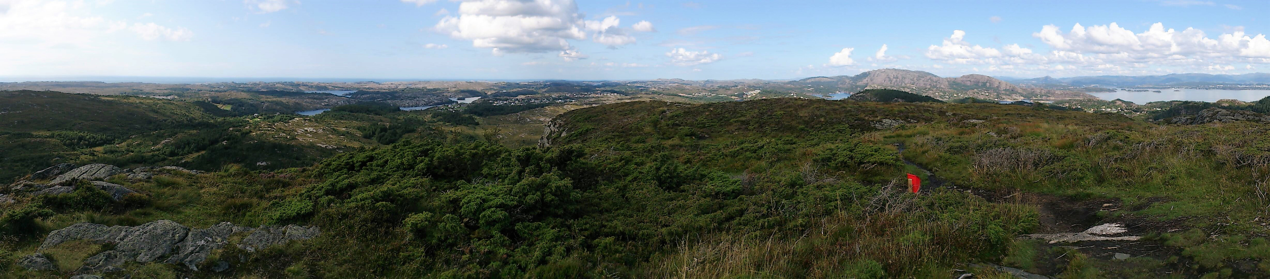
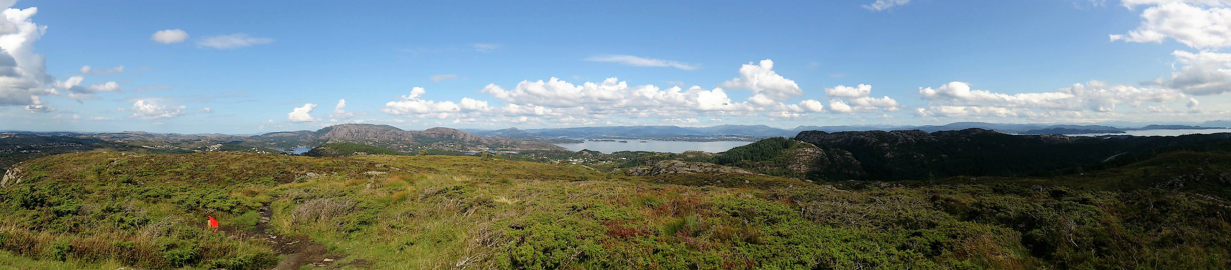
The excellent views from the summit however quickly made be forget about the poor trail. Very nice views in all directions. The summit itself was not marked, but a viewpoint just to the north of the highest point had a sign that said "Hødne", local dialect for "Hornet" (which I had not realized when seeing the same sign earlier).
Given my bad experience with the ascent trail, I decided to take an alternative route down, hoping the trail there would be better. The start was not very promising, as the trail crossed several wet marshes, but as the trail turned east it greatly improved (at least in terms of wetness), making the last part more enjoyable. However, this route was significantly longer than the shorter and wetter option (and still pretty wet), so I'm not sure which of the two I would recommend in the end.
Storaskjenet
Next, I retraced my steps to where I left Skogevegen and from there continued up to Skogsvåg skole, passing by the football grounds, before locating a small gravel road (marked "Private") that would take me south to Storaskjenet.
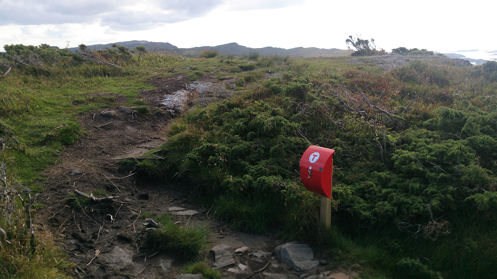
The path started out as a nice tractor road with lots of sheep before turning into a trail, which could then easily be followed all the way to the summit. And while this trail also had its wet sections, they could all more or less easily be traversed and some sections even had small wooden bridges. In other words, a lot better than my earlier experiences of the day.
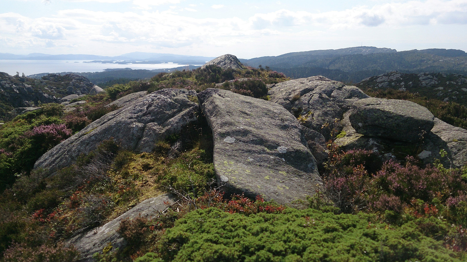
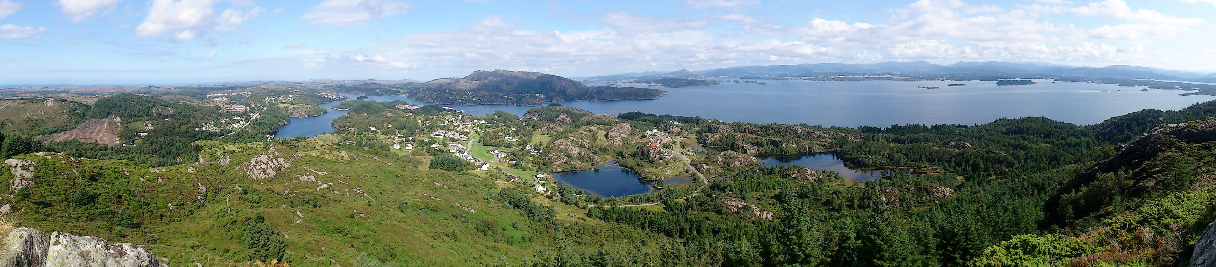
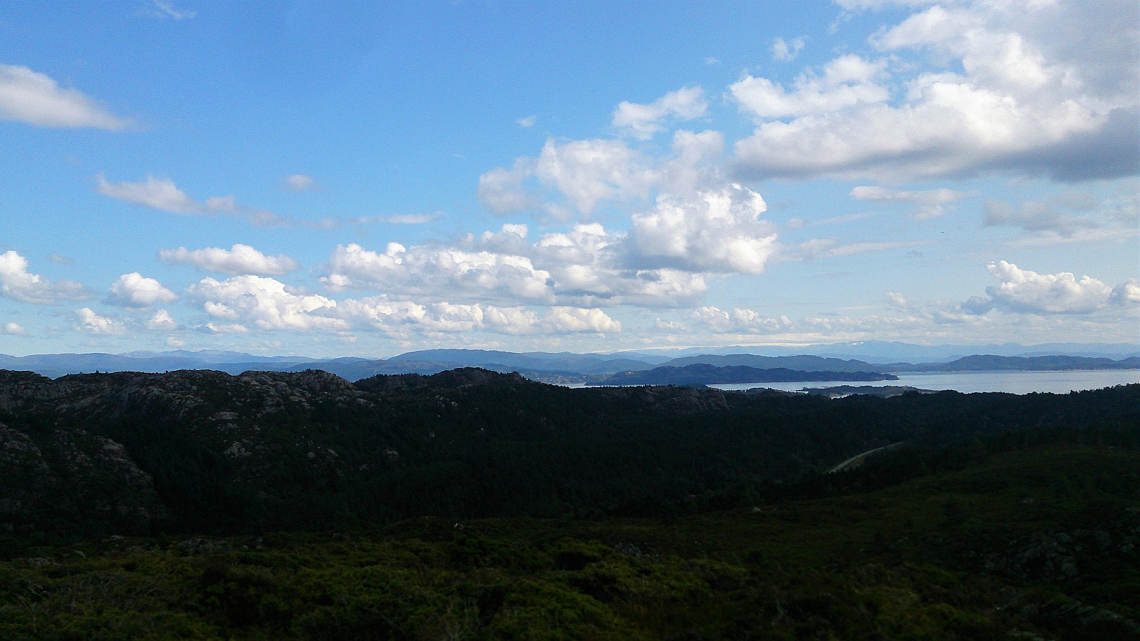
The summit itself was not marked, but there was a visitor register right before reaching the summit. Nice views in all directions, but perhaps not as good as from Sangoltshornet.
From the summit I doubled back and followed the same trail back to Skogsvåg skole, where I decided to try taking Austre Sundvegen to get back to Skogsskiftet terminal (instead of Skogevegen which I had used in the opposite direction), hoping that the sidewalk would continue all the way. It did (which I have learnt is not a given for these kinds of roads), and I made it back just in time for the bus to Bergen.
Conclusion
All in all, an enjoyable hike with excellent views that can be highly recommended for those wanting to visit the two summits without having to rely on a car.
The quality of the trails was more of a mixed bag though, with the trails to Sangoltshornet standing out in a negative way, while the trail to Storaskjenet was better than expected.
| Start date | 18.08.2017 11:27 (UTC+01:00 DST) |
| End date | 18.08.2017 15:44 (UTC+01:00 DST) |
| Total Time | 4h 17min |
| Moving Time | 3h 46min |
| Stopped Time | 0h 31min |
| Overall Average | 3.5km/h |
| Moving Average | 4.0km/h |
| Distance | 15.0km |
| Vertical meters | 585m |


User comments