
Raudlifjellet from Tømmernes (06.05.2017)

Written by hbar (Harald Barsnes)

| Start point | Tømmernes (58m) |
|---|---|
| Endpoint | Røykenes (58m) |
| Characteristic | Hillwalk |
| Duration | 2h 53min |
| Distance | 8.0km |
| Vertical meters | 455m |
| GPS |
|
| Ascents | Nordhordlandskulten (389m) | 06.05.2017 |
|---|---|---|
| Raudlifjellet (395m) | 06.05.2017 | |
| Visits of other PBEs | Sælafjellet (374m) | 06.05.2017 |
Raudlifjellet from Tømmernes
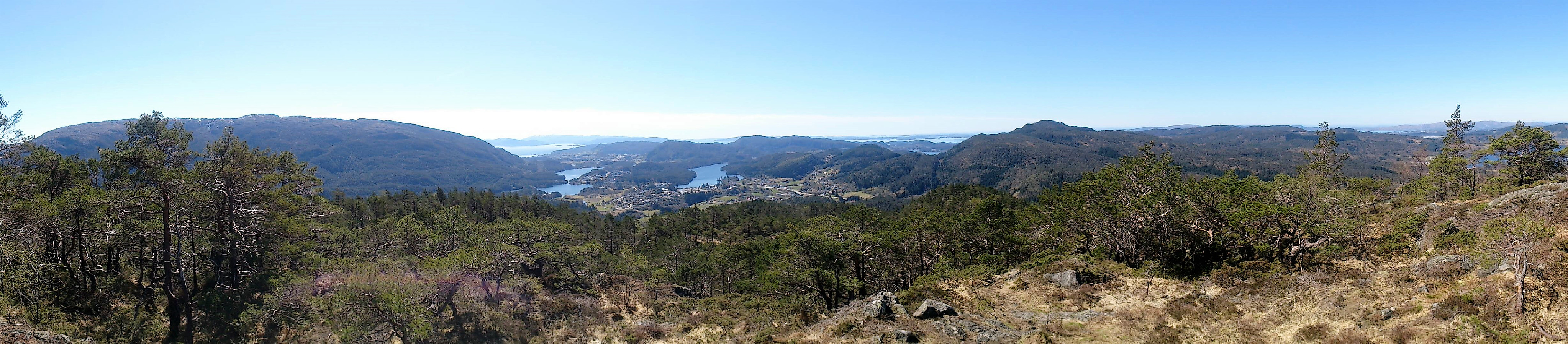
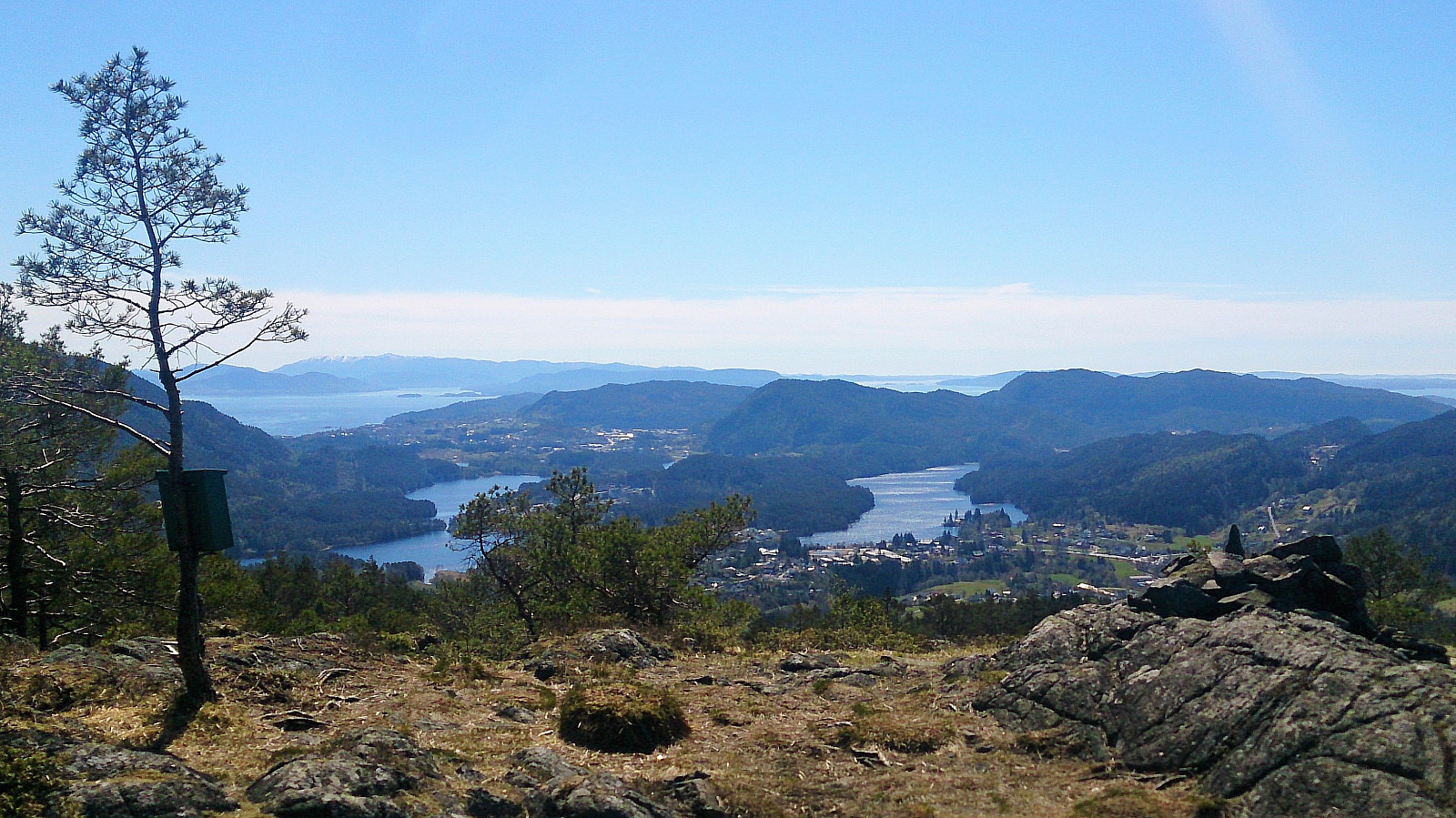


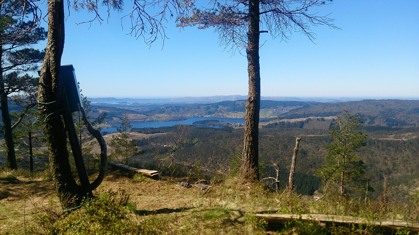
Started by taking the bus to Tømmernes, crossing the main road and then the Tømmernes bridge. Next, I located the start of the trail indicated on the map and followed what turned out to be a tractor road that quickly turned into an unmarked trail taking me to Sælafjellet. Here there were very nice views towards the south.
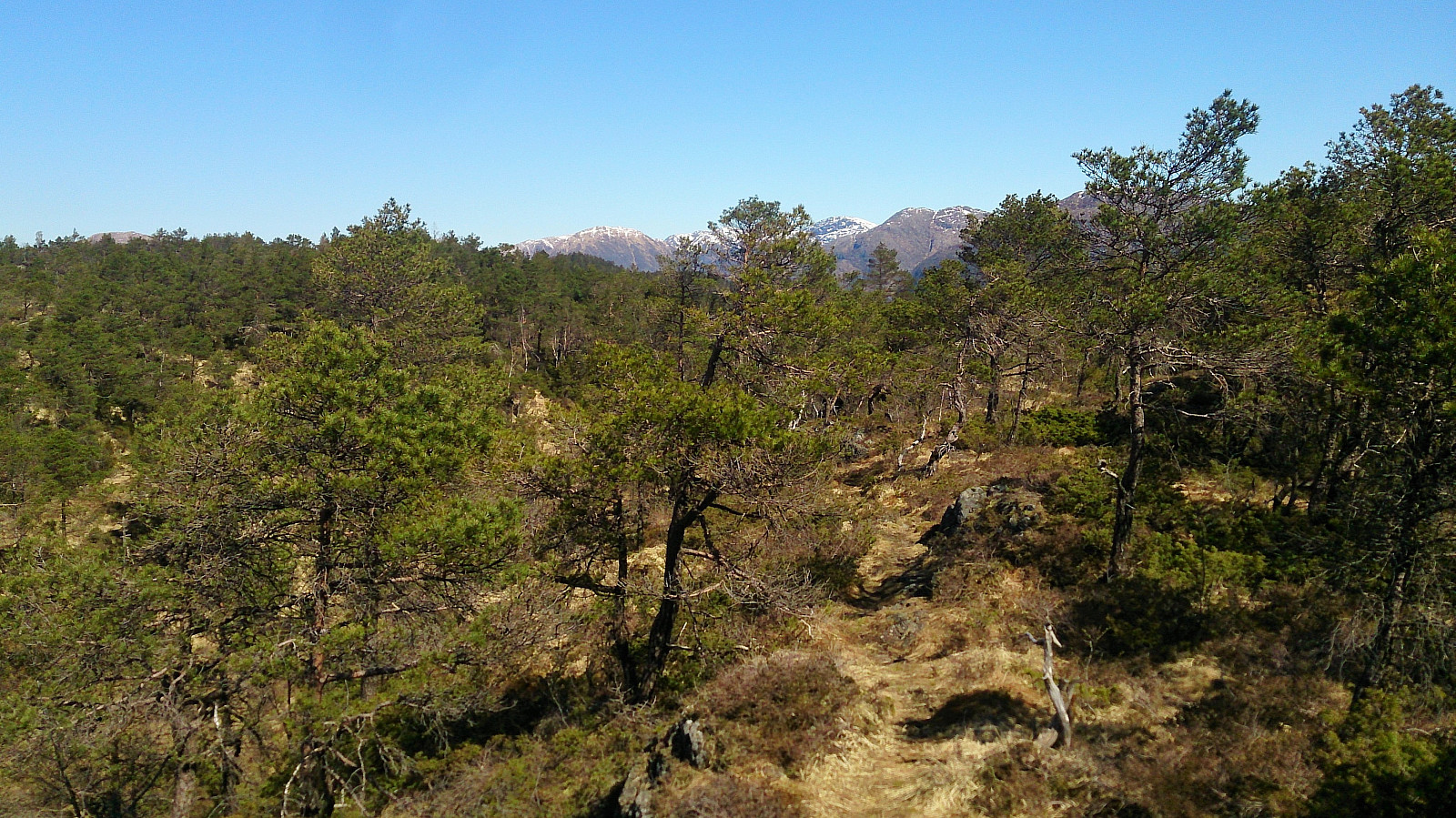
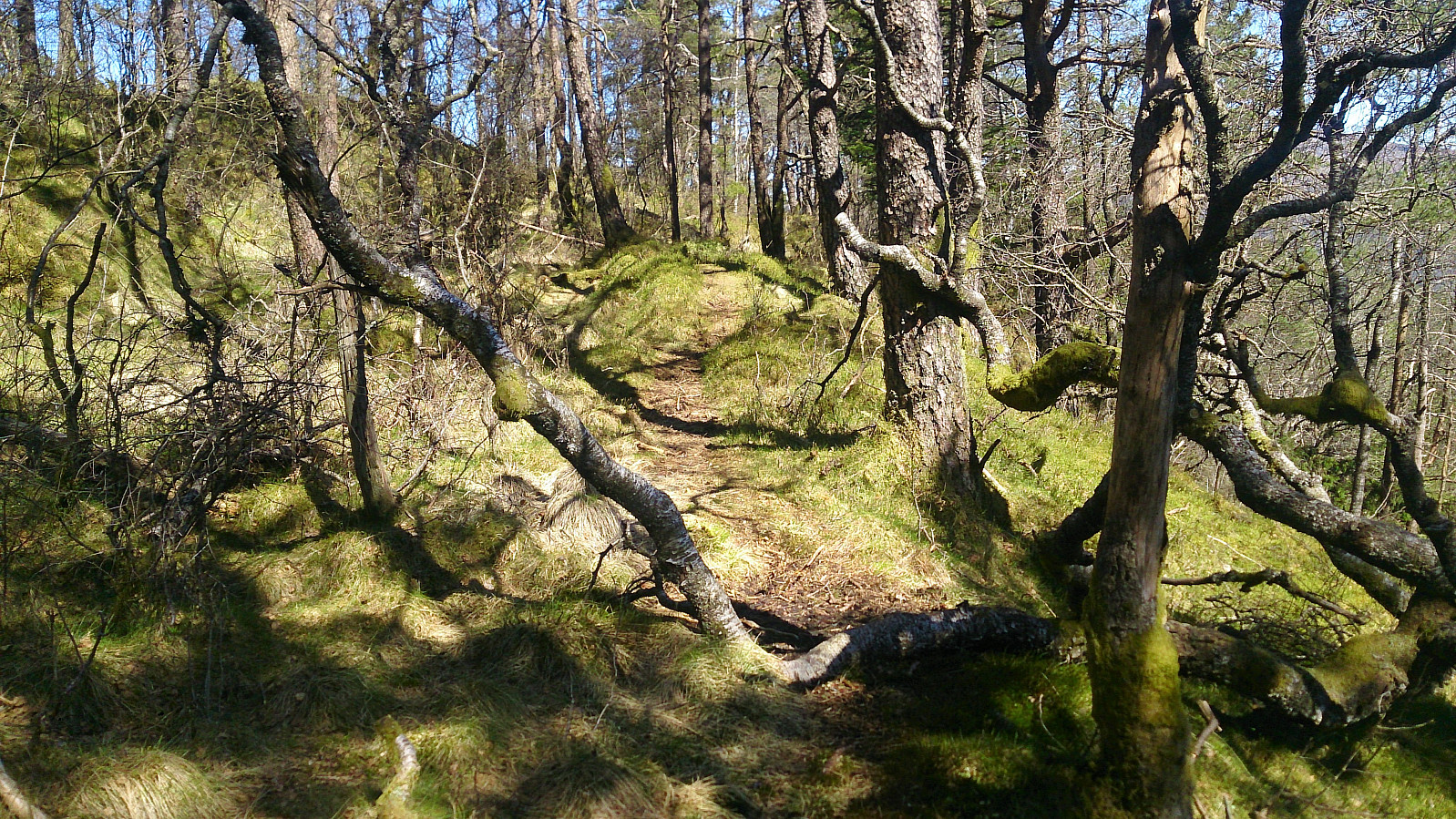
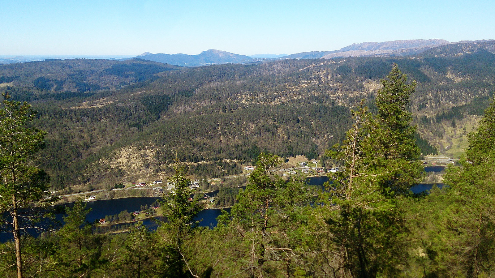
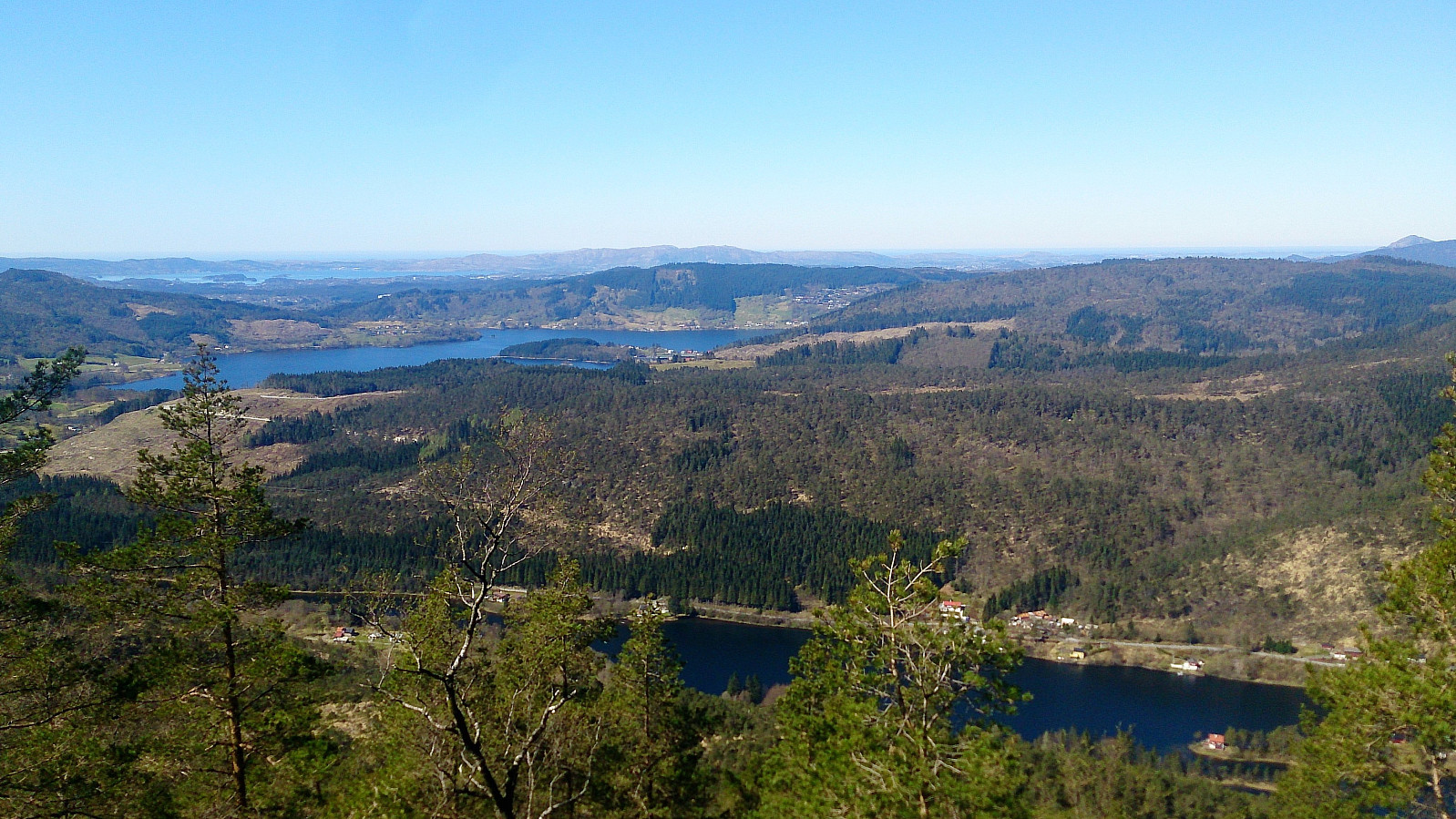
I continued north along the trail to Nordhordlandskulten and then onwards to Raudlifjellet, along the ridge of the mountain through a nice pine forest. The trail had some wet sections, even after a week of no rain, which resulted in the trail disappearing at times. Nordhordlandskulten had limited views, while Raudlifjellet had nice views, mainly in the westerly direction.
From the top of Raudlifjellet I turned south and followed more or less the same route back to the main road. Twenty minutes to the next bus, so I walked north along the road, and Røykenesvatnet, to the next bus stop for the bus back to the city center.
Overall, a nice hike, with a similar feeling to Solbakkafjellet, but with less spectacular views and a slightly worse trail.
| Start date | 06.05.2017 11:52 (UTC+01:00 DST) |
| End date | 06.05.2017 14:45 (UTC+01:00 DST) |
| Total Time | 2h 53min |
| Moving Time | 2h 30min |
| Stopped Time | 0h 22min |
| Overall Average | 2.8km/h |
| Moving Average | 3.2km/h |
| Distance | 8.0km |
| Vertical meters | 455m |


User comments