
Lyderhorn from Sildaberget (03.07.2016)

Written by hbar (Harald Barsnes)

| Start point | Bjørndalsbakken |
|---|---|
| Endpoint | Gravdal |
| Characteristic | Hillwalk |
| Map |
|
| Ascents | Lyderhorn (396m) | 03.07.2016 |
|---|---|---|
| Skarpafjellet (180m) | 03.07.2016 | |
| Skjenafjellet (319m) | 03.07.2016 | |
| Ørnafjellet (329m) | 03.07.2016 | |
| Ørnafjellet Nord (304m) | 03.07.2016 | |
| Visits of other PBEs | Lyderhornhytten (lokalitet) (396m) | 03.07.2016 |
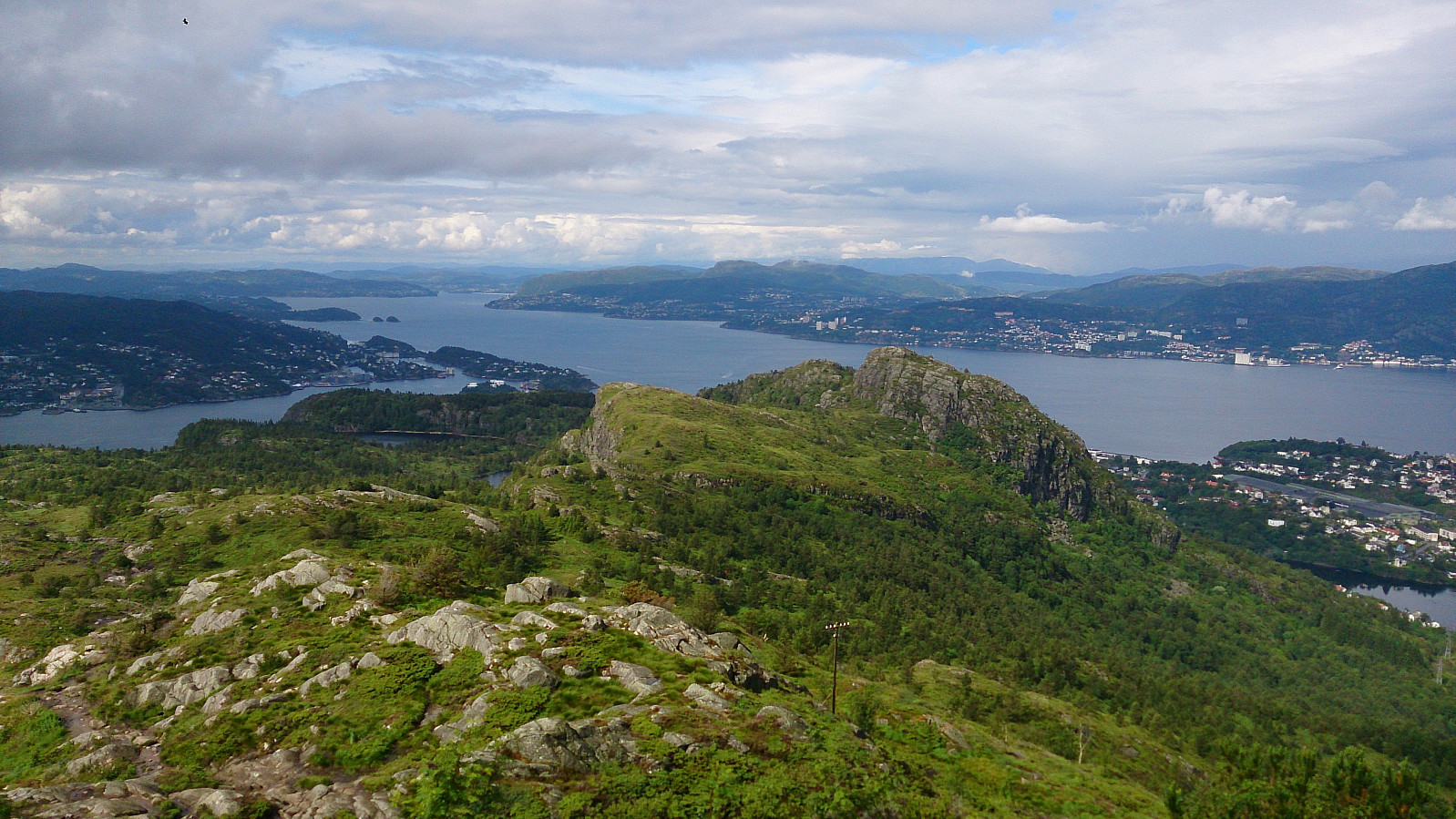
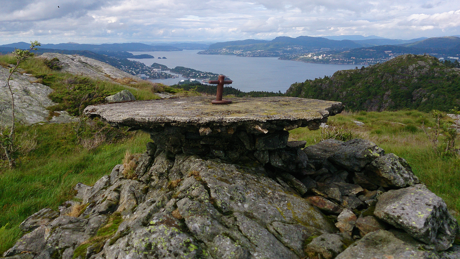
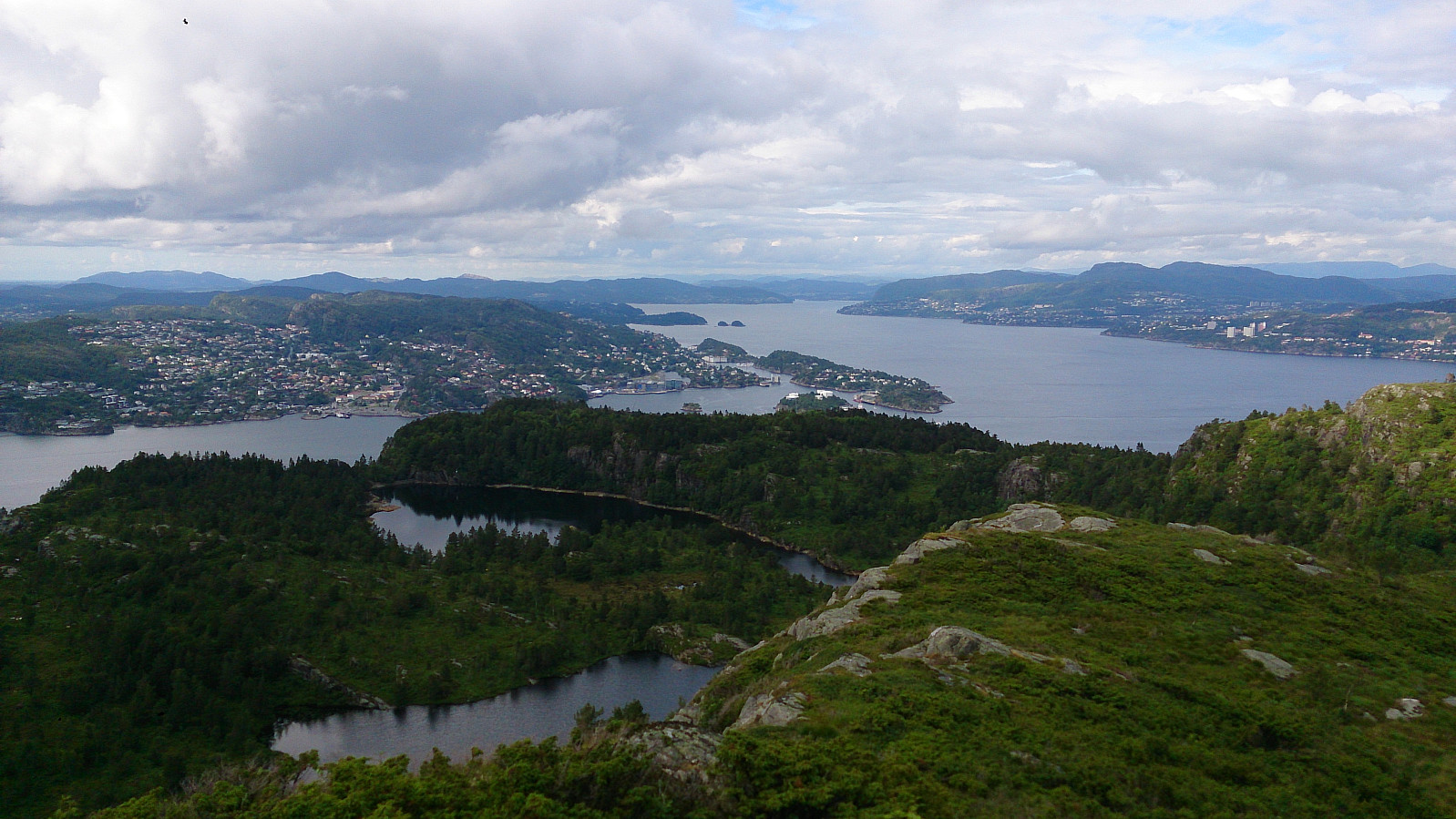
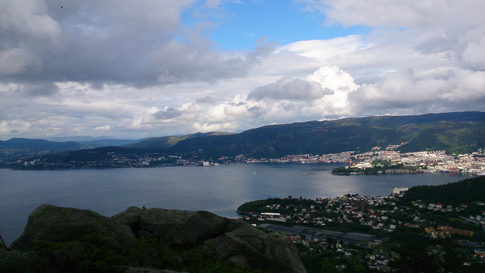
Lyderhorn from Sildaberget
Started by taking the bus to Bjørndalsbakken and from there walking up to Sildaberget. After locating the start of the trail (just follow the upper road at Sildaberget and look for the hiking signs), I followed the stairs (and later trail) to Skarpafjellet, and then continued onwards to Lyderhorn. From the top of Lyderhorn I found a trail passing over Skjenafjellet and Ørnafjellet before taking me to Gravdal, where I took the bus back to the city center.
See Lyderhorn from Sildaberget for the same hike with GPS tracking.


User comments