
Skåldalsnipa from Arna Terminal (05.02.2017)

Written by hbar (Harald Barsnes)

| Start point | Arna terminal (9m) |
|---|---|
| Endpoint | Espeland (75m) |
| Characteristic | Hillwalk |
| Duration | 3h 21min |
| Distance | 10.3km |
| Vertical meters | 695m |
| GPS |
|
| Ascents | Skåldalsnipa (603m) | 05.02.2017 |
|---|---|---|
| Visits of other PBEs | Arna stasjon (8m) | 05.02.2017 |
Skåldalsnipa from Arna Terminal
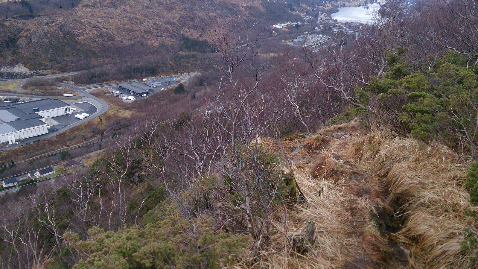
Warning: This hike is not recommended for those afraid of heights, as it includes some fairly steep sections where the trail goes close to the edge of the cliff. This can probably be avoided by choosing a different path up to Stemmebrunane, but I could not figure out where this path started.
My trip started by talking the bus to Arna Terminal and from there walking south towards Raudtjern (see map for details). Hundred meters or so before reaching Raudtjern I took the trail going left towards Stemmebrunane. The trail is indicated on the map, but may be a bit hard to locate. As a tip, look out for the information sign about entering a restricted area due to drinking water, as this indicates the start of the trail.
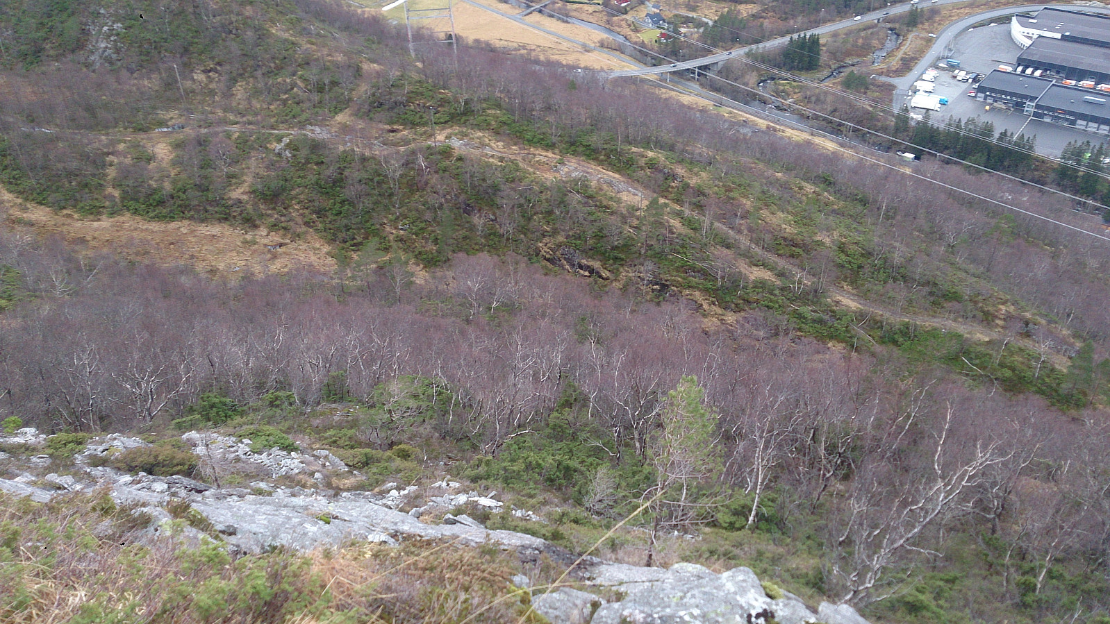
At this point the hike changed dramatically, with the trail winding back and forth to traverse the steep incline, going from around 220 meters to above 400 meters within a short time frame. Most of the trail is straightforward, but there are a couple of sections where the trail goes very close to the edge of the cliff. Hence the warning for those afraid of heights. But in any case, one should be extra careful when traversing these parts.
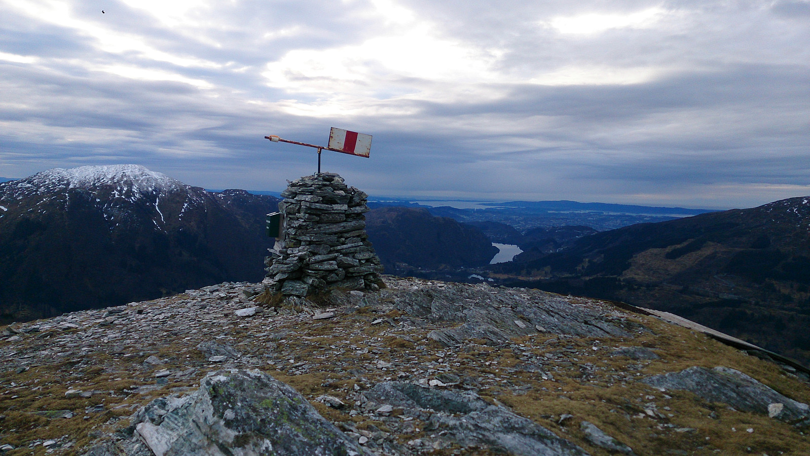
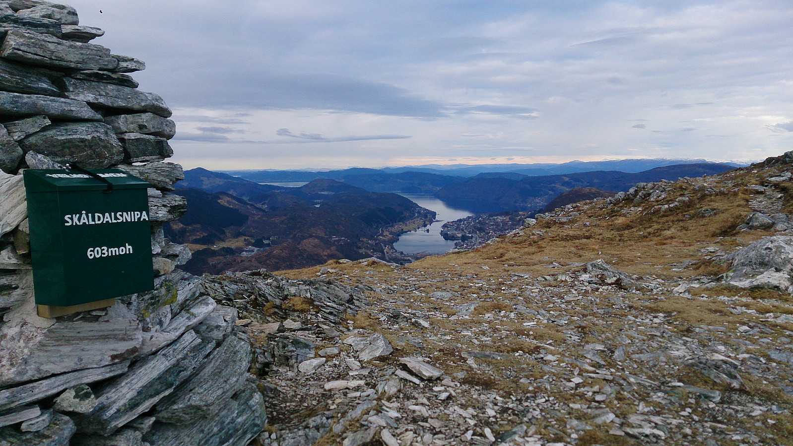
After reaching Stemmebrunane, the trail got much easier and I quickly made it to the top of Skåldalsnipa to enjoy the very nice views. I also made a detour to the cairns to the northeast of Skåldalsnipa where one can see more of Arna than from Skåldalsnipa itself.
For the descent I decided to follow the main trail going south from the top, but halfway down I took a right turn following a smaller trail towards Moldalia in order to not miss the planned bus from Espeland. This shortcut turned out to be a bit steeper than expected. By no means difficult, but it did take longer than I had hoped. So be sure to keep this in mind if you have a planned bus to take from Espeland like I did. ;)
| Start date | 05.02.2017 12:00 (UTC+01:00) |
| End date | 05.02.2017 15:21 (UTC+01:00) |
| Total Time | 3h 21min |
| Moving Time | 3h 02min |
| Stopped Time | 0h 18min |
| Overall Average | 3.1km/h |
| Moving Average | 3.4km/h |
| Distance | 10.3km |
| Vertical meters | 695m |


User comments