
Storm-beaten Lyderhorn interruptus (26.12.2016)

Written by HHauser (Helwig Hauser)

| Start point | Kjøkkelvik school (60m) |
|---|---|
| Endpoint | Kjøkkelvik school (60m) |
| Characteristic | Hillwalk |
| Duration | 1h 00min |
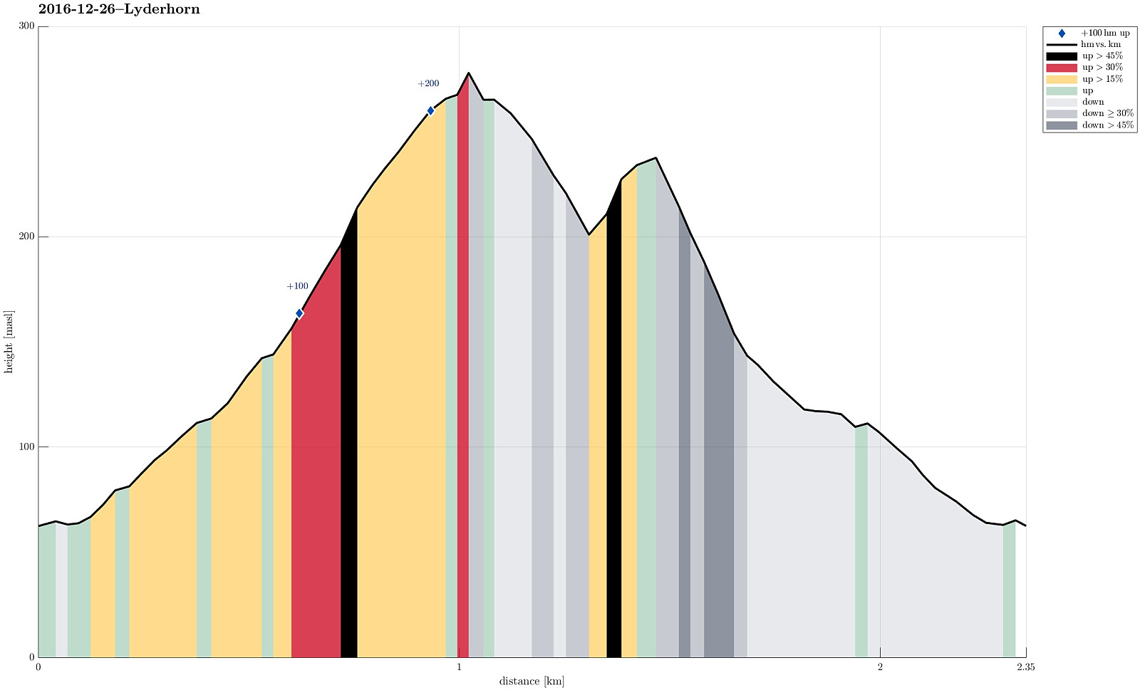
| Distance | 2.3km |
| Vertical meters | 263m |
| GPS |
|
| Visits of other PBEs | Små-Lyderhorn (273m) | 26.12.2016 |
|---|
Trip Summary
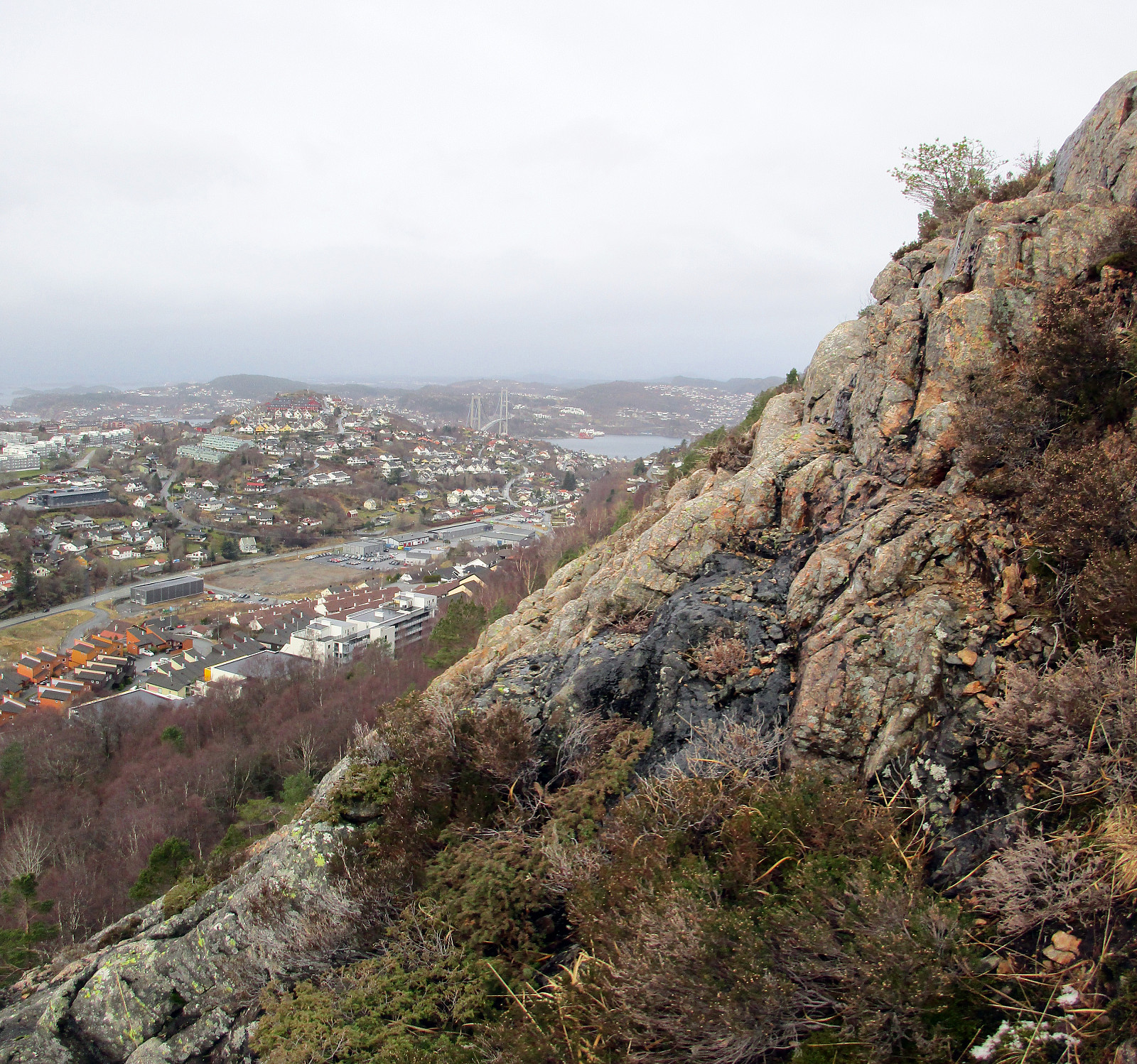
We parked near Kjøkkelvik school on the western side of Lyderhorn and started to go from there (along Lyderhornslien). Once in Olderdalen, we started to ascend along the well-used path (upwards in southeastern direction).
Turning around in the storm
Near Små-Lyderhorn, at about 275mosl, we started to feel the strong winds, which also were announced all along the southwestern coast of Norway. Only minutes later, we concluded that the winds were too strong for continuing further up along the outer (southern) side of Lyderhorn. Instead, we decided to turn around, descend into Olderdalen (instead of taking the same path back, which we had taken up), and make an attempt to connect to this other path between Lyderhornslien and Lyderhorn (a bit further north).
Crossing over to the other path (a bit steep, maybe)
In principle, everything went as intended, but it must be noted that the western side of Lyderhorn in fact is steep (it doesn't only look so) and crossing over (in northwards direction) was something, which requires a little bit of experienced stepping (at times, it was useful to use the hands in addition). Nonetheless, we managed to find this other path relatively soon and without any bigger troubles, descending from there along the path to Lyderhornslien and then back to the car.
Summary
For the first time, we decided that ascending to the top of Lyderhorn was not recommended (because of the strong winds), so this was clearly something new today! :-)
Useful Resources
See also the related FB-page Hiking around Bergen, Norway.
Web page WestCoastPeaks.com provides useful information about Lyderhorn and Ørnafjellet
and also Petter Bjørstad has a page about Lyderhorn.
On Bergentopp 200 there is a page (in Norwegian) about Lyderhorn.


User comments