
Knappen in December (11.12.2016)

Written by HHauser (Helwig Hauser)

| Start point | Varden (45m) |
|---|---|
| Endpoint | Varden (45m) |
| Characteristic | Hillwalk |
| Duration | 1h 00min |
| Distance | 4.6km |
| Vertical meters | 194m |
| GPS |
|
| Ascents | Eldtona (128m) | 11.12.2016 |
|---|---|---|
| Knappen (135m) | 11.12.2016 |
Trip Summary
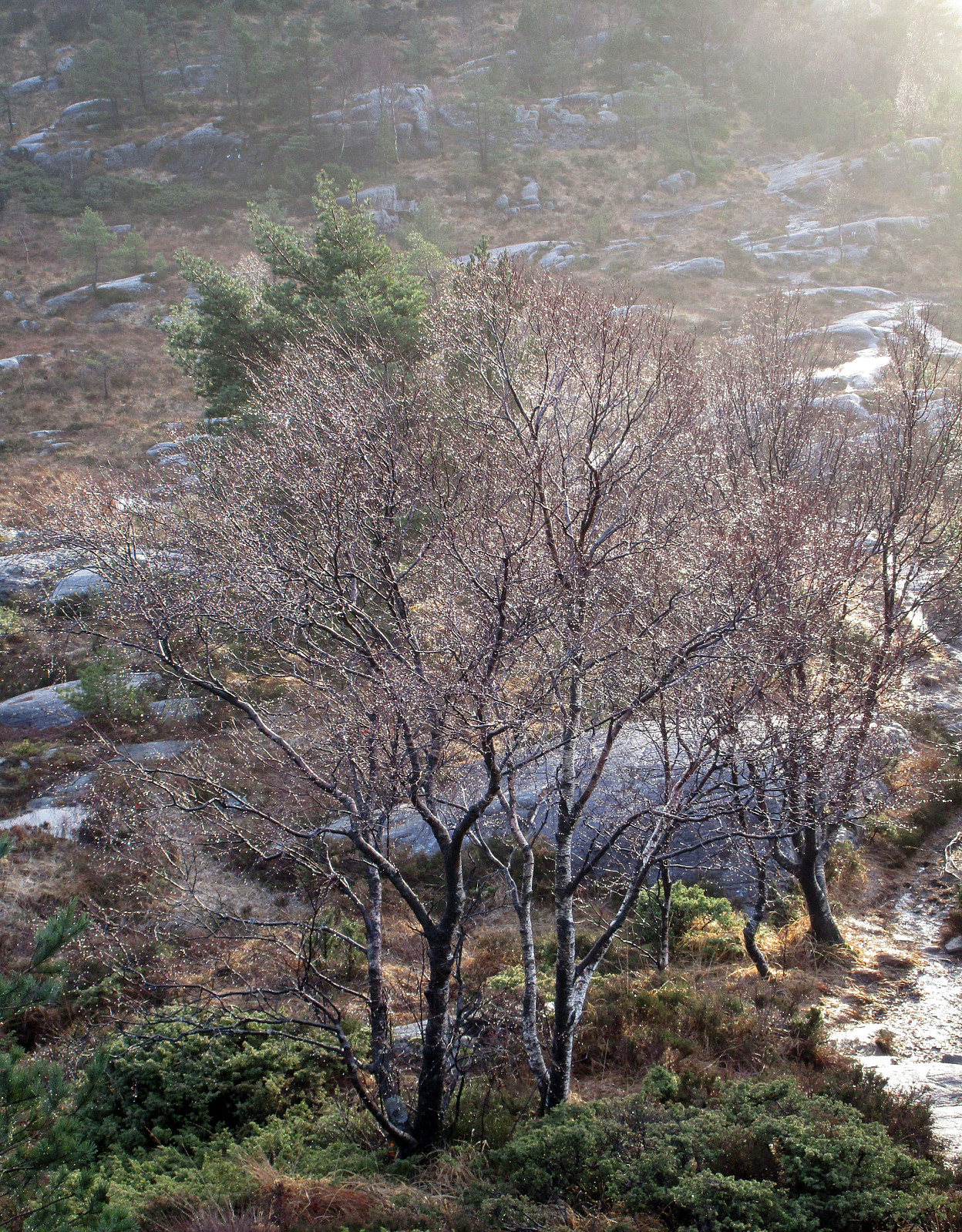
We started at Varden, walking down Marineveien and further on Bjørgeveien, where we turned left into Sandeidbrotet shortly after, leading steeply upwards (towards Knappatjørna). At "the top", where the street makes a sharp turn to the left, a hiking path leaves to the right (only a few meters above another side-road, which only connects to a private place instead). Following the hiking path (into northwestern direction) brings one nearby Røstafjellet, i.e., another residential area (north of Knappen and slightly elevated above Bjørgeveien). Before actually entering this area, another hiking path leaves to the left and upwards, first in western direction, but then, following the ridge, turning more and more into southern direction. Once on the ridge, the path follows the heights up to Knappen and one can enjoy some nice views (mostly in western direction). On Knappen, we continued a little bit further, before turning left onto a hiking path that leads downwards. After a few steps, we took another turn to the left and crossed over to a parallel path downwards, descending towards Knappatjørna. This path leads towards the soutern end of Knappatjørna, where previously a psychiatric station was. We continued around Knappatjørna and connected to Vassteigen on the eastern side of this little lake. There, we simply followed the road down and connected via the pedestrians bridge over to Varden. This December hike in wet conditions was refreshing!
Useful Resources
See also the related FB-page Hiking around Bergen, Norway.
Petter Bjørstad has a useful page about Knappen.


User comments