Archive - Date
Archive - Activity
-
Climbing (43)
- Alpine climbing (31)
- Ice climbing (3)
- Mixed climbing (1)
- Sport climbing (3)
- Via ferrata (1)
-
Other trip (5)
- Expedition (5)
-
Other winter trip (5)
- Snowshoe trip (5)
-
Ski trip (449)
- Backcountry skiing (4)
- Cross-country skiing (2)
- Randonnée/Telemark (441)
-
Trip by foot (507)
- Alpine trip (47)
- Hike (196)
- Hillwalk (205)
- Jogging (4)
- Walk (55)
Peakbook-Friends


Glovers Chimney (III)
- Date:
- 12.12.2010
- Characteristic:
- Ice climbing
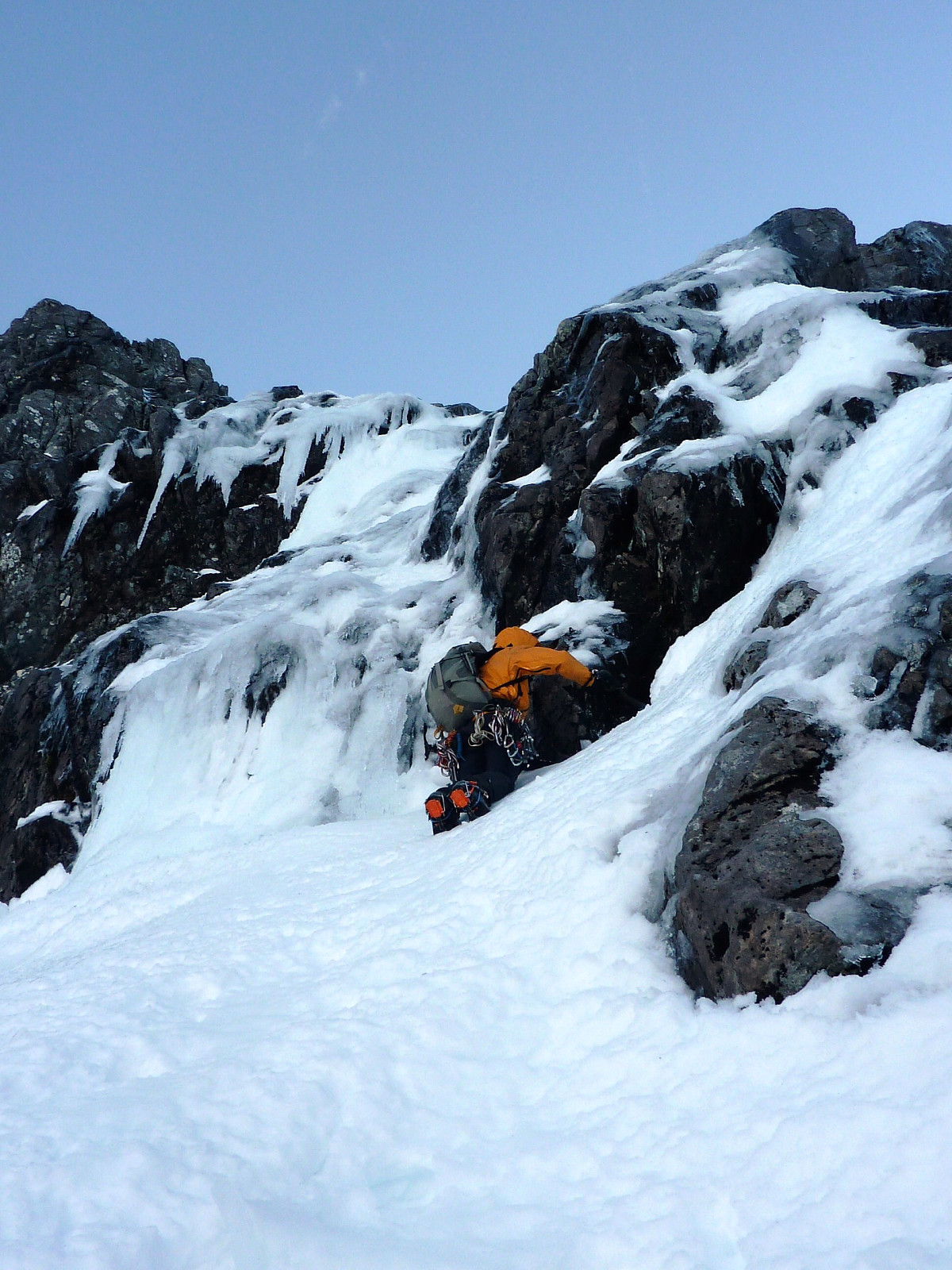 Some old pictures from a really good route. Fantastic ice at the first pitch, followed by good quality neve in the main gully. Didn't bother belaying too much there and moved together on a long rope for a lot of the time since the conditions were so good. Last pitch up into Tower Gap was fun, but finished in the dark, the rock on both sides of the gully was completely glazed in ice but surprisingly OK for finding ice axe placements. Continued up Tower Ridge to reach the summit plateau before descending. This trip will be remembered for all the wrong reasons.
Langdale in winter
- Date:
- 28.11.2010
Yet more fine and settled weather brought the wonderful cold and crisp conditions for winter walking that we often dream of having, so after a late start I headed over to Langdale to set off amongst some of my most well-known fells. Snow underfoot was hard and in fact, perfect for crampons - so I pulled on the pair I'd brought with me and speedily made my way across Bowfell first, then on towards Esk Pike and Esh Hause. I met only one other group of hikers along the way, who were very friendly and chatted for a while with me but they were going in the opposite direction so sadly I didn't have their company for long! Anyway, after that I continued along the familiar route towards the top of Esk Pike, then down to the haus and Angle Tarn. At this point I was debating whether or not to take the >>>
Red Screes
- Date:
- 27.11.2010
A dump of snow overnight, followed by bright sunshine the next morning gave us a great day for a hike up Red Screes. Unfortunately, the bright sunshine didn't hold out all the way to the top of Red Screes, and it was pretty windy and very chilly by the time we got there. No views down to Brotherswater whatsoever. That was definitely a pity, as it's a lovely viewpoint otherwise. Anyway, we descended from there down to Scandale Head and back down the valley to Rydal and Ambleside. My friend Sue and I enjoyed a nice coffee at Esquires before taking in a nice sunset over Windermere on the walk back to the Briery Wood hotel.
Buttermere to Keswick
- Date:
- 24.10.2010
This has to be one of my more memorable days of walking in the autumn! After a previous day's soaking in the rain, we were totally inspired by the beautiful route we had planned from the Buttermere youth hostel. So excited about it that I even made the effort to get up specially at 4.00am just so we could be out the hostel and onto the route by 5.00am. That's dedication I can tell you. Anyway, when we left the youth hostel it was pretty chilly, but fortunately the sky was almost crystal clear. The hike up through Burtness wood and following Sour Milk Gill in the dark wasn't my fondest memories of the day, but since we'd been looking forward to seeing a sunrise from the top of Red Pike, it simply had to be done. Unfortunately though, all our efforts weren't rewarded with the amazing sunrise >>>
Braithwaite to Buttermere
- Date:
- 23.10.2010
This was a day of walking which is only memorable for the unpleasant weather we had, and the first of a 2-day circuit from Braithwaite. I was meeting with my friend Sue from Dumfries again, and the route was basically taking us up from the high car park in Braithwaite, to Grisedale Pike, Hopegill Head and finally across Wandope and Whiteless Pike before we headed down into Buttermere. It was a case of trying to ignore the incessant wind/rain/sleet and getting to our destination where we could dry off a little. Fortunately, even though our gear might have gotten damp from the rain, our morale wasn't dampened since we had already prepared ourselves for a day of bad weather but the next day was forecasted to be really good. We had something to look forward to, and a great route planned out!

